
For my first time back on the bike since knee surgery last month, I decided to ride somewhere flat and relatively easy. Yes it was flat, but it was anything but easy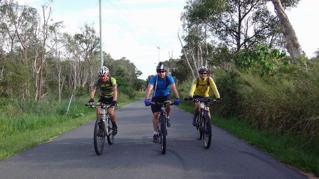
We started our Bribie Island adventure at the sports fields near the southern tip of the island, and headed towards the beach.
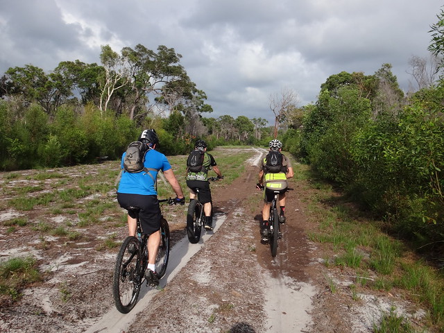
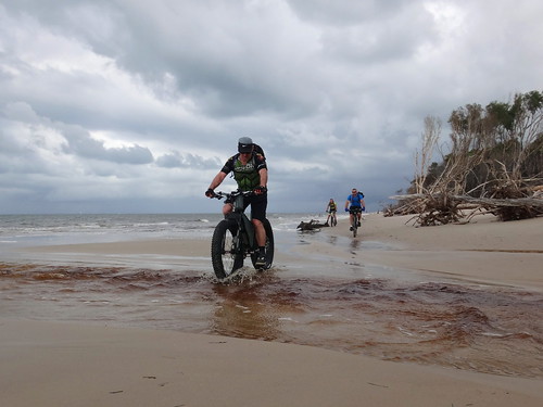
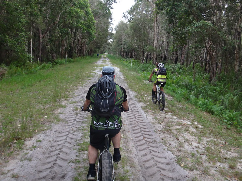
After a few hundred metres we found a sandy track and followed it. The sand was tricky to ride on – our wheels slid everywhere. Darb found it much easier due to the huge tyres on his fat-bike which hugged the sand and gave him traction.
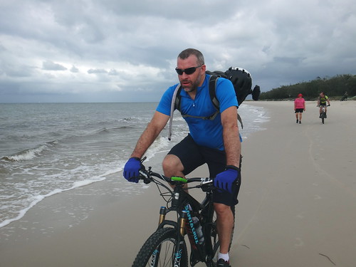
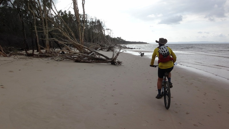
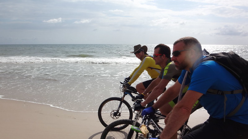
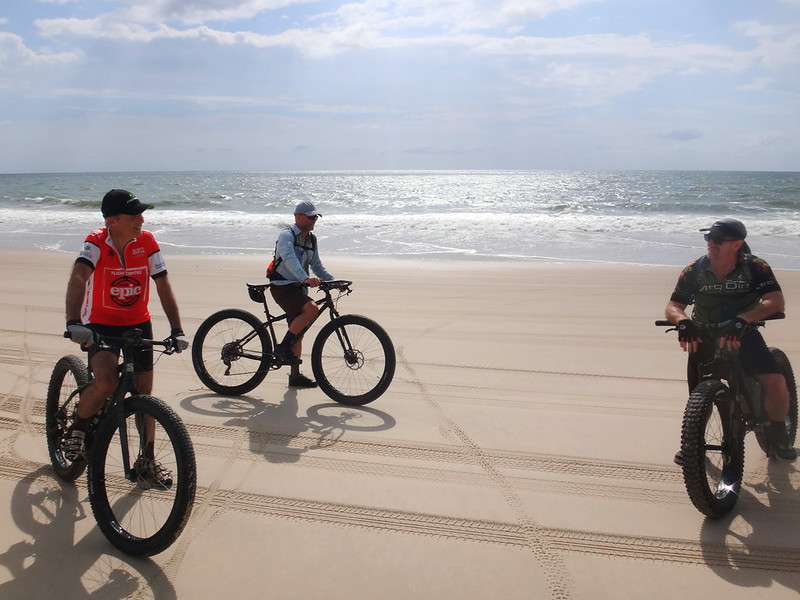
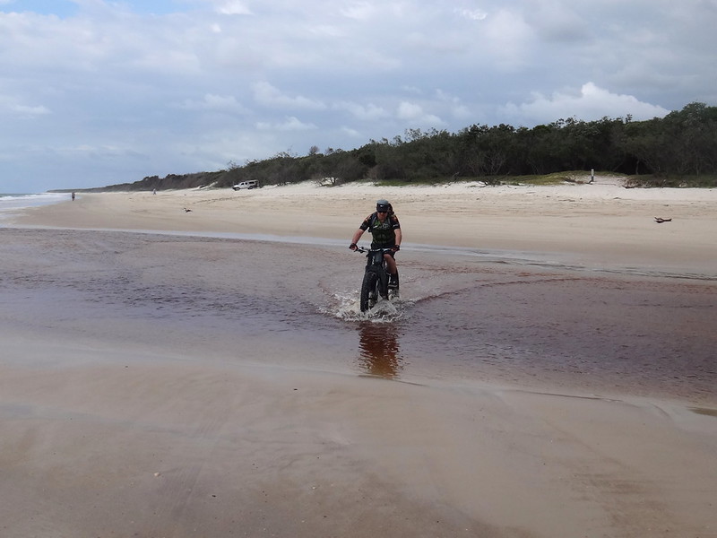
Eventually we reached Red Beach on the southern coast of Bribie. The receding tide had left the sand quite firm, providing an easy surface on which to ride. Everyone was smiling…
Looking south towards Brisbane across Deception Bay, I was amazed at how such a remote stretch of coast was located so close to a major city. We were less than an hours drive from Brisbane, but it felt like it was a million miles away.
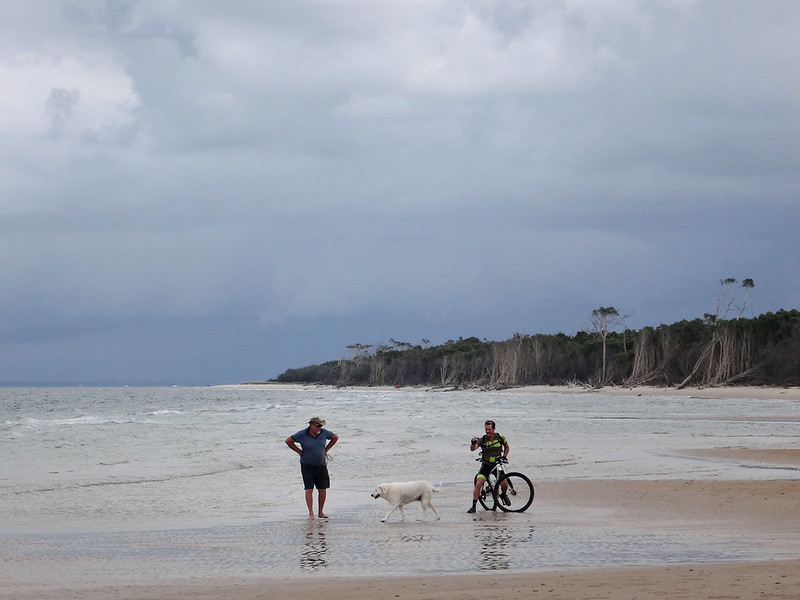
The beach is no place to hurry: We took our time, often stopping to take photos, talk to locals and enjoy the view.
Near here in 1799 Matthew Flinders made first contact with the indigenous inhabitants of the area. After Flinders came ashore, one of the local Joondoobarrie people tried to steal his hat. Flinders retreated to his ship and one of the aborigines angrily threw his spear towards him. Flinders retaliated by firing his musket at the man and injuring him. Skirmish Point is named after this incident.
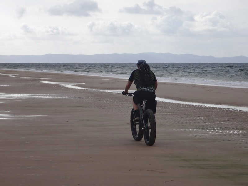
Ahead of us, the distant hill tops of Moreton Island reached up over the eastern horizon.
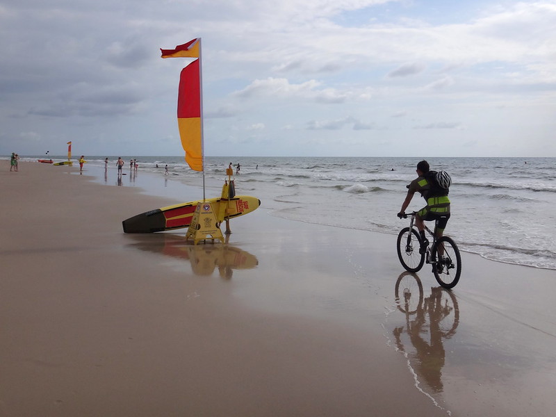
Eventually we reached the patrolled surf beach at Woorim on the eastern side of the island. Swimmers were out early enjoying the waves.
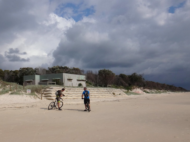
We stopped outside a disused bunker from the Second World War. Although the windows and doors were wired shut, it was a reminder of more troubled times when worried eyes surveyed dangerous waters from behind gun turrets.
Today was anything but troubled or worried.
A couple of friends, Nick and Rients, zoomed past us on their fat bikes. Unlike us, they were on their way to the tip of the island. We rode together until our paths diverged.
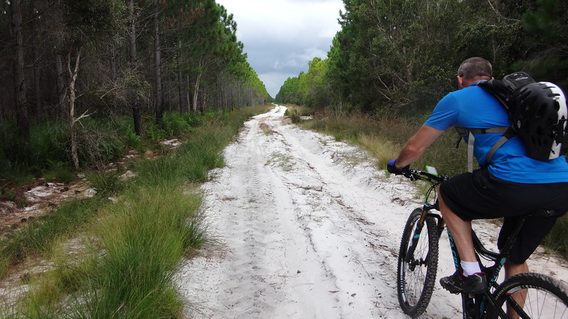
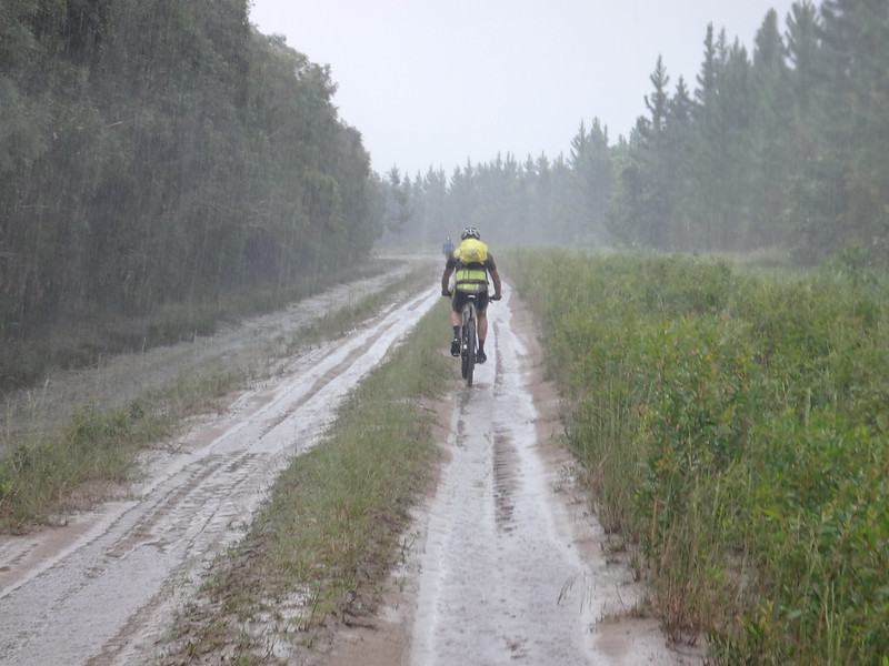
Eventually we left the beach and headed west across the island. The trail became softer and harder to ride on.
We persevered in the sand for as long as we could.
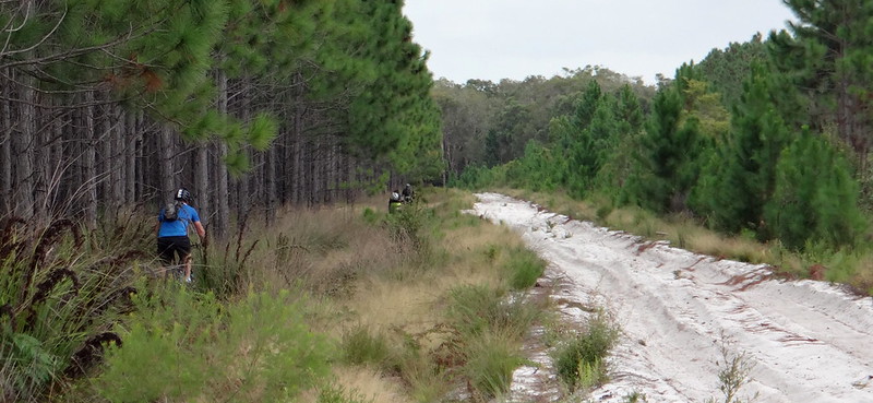
Eventually we decided to forget about trying to ride on the sand, and bashed through the undergrowth beside the track. It was rough, but at least the surface was solid, and we were able to make slow progress.
In some places, a narrow strip of grass grew beside the tyre tracks, and we were able to ride on that.
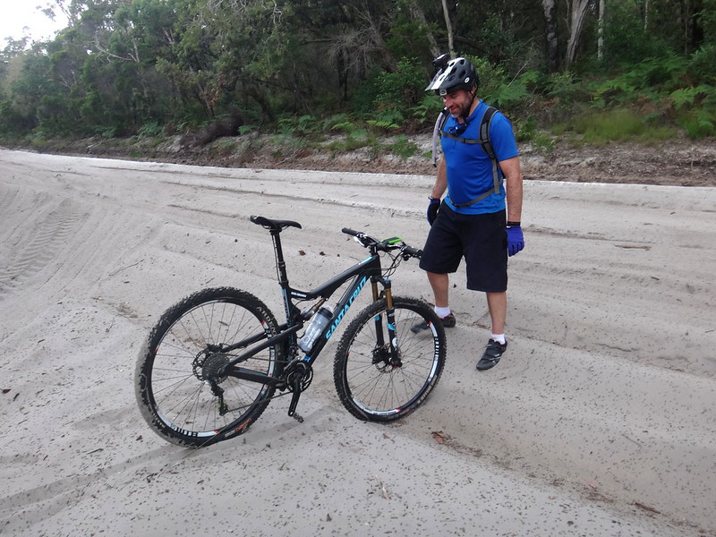
In other places the sand was so thick you could stand your bike in it. At those points we had no choice but to get off and push.
Heavily.
Normally it’s unpleasant riding in heavy rain, but the downpour made the sand firmer and easier to ride on.
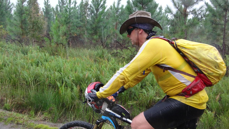
I discovered that a wide-brimmed hat is perfect in heavy rain. The rest of me was soaked to the skin, but my face and glasses were dry, so I was able to see where I was going.
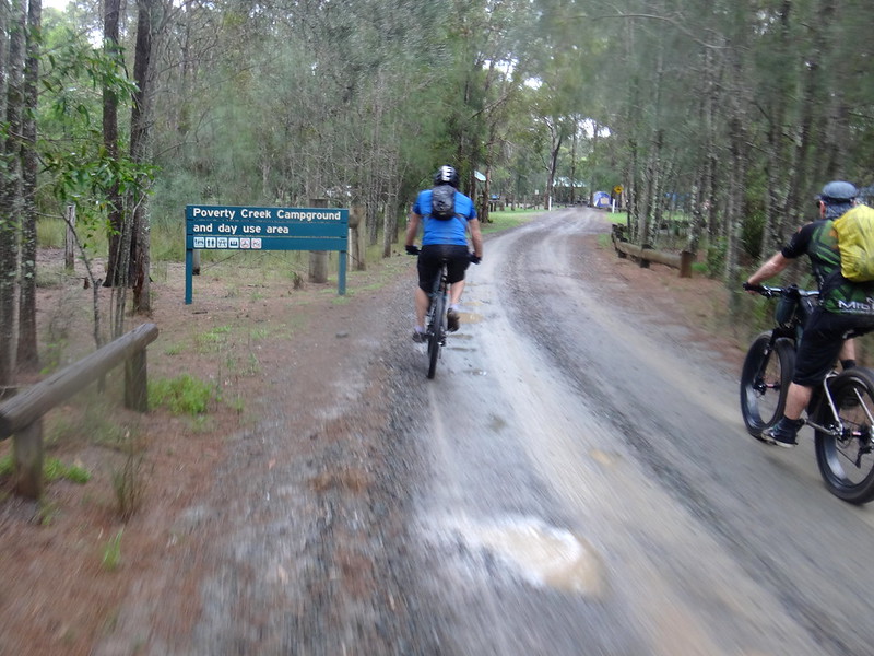
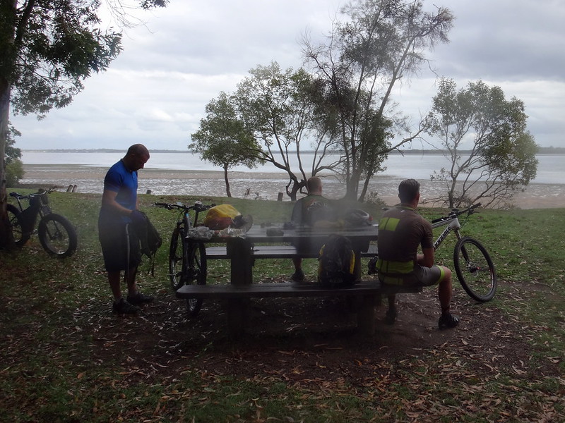
As if on cue, the rain eased back when we arrived at Poverty Creek camp ground for lunch.
I was able to wring out my soaking socks and enjoy a bite to eat.
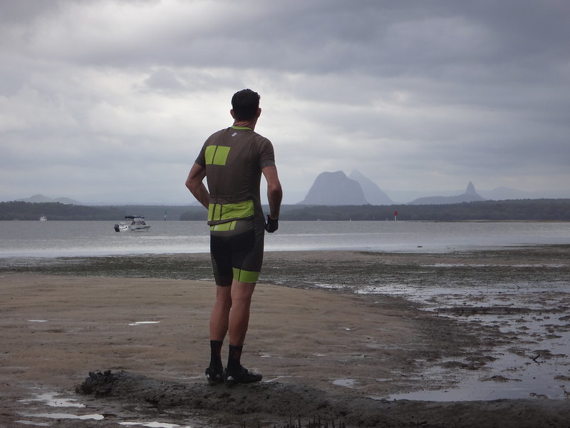
Across the Pumicestone Passage, the peaks of the Glasshouse Mountains reached up to the brooding clouds.
This was a gorgeous spot to have a rest and enjoy the view.
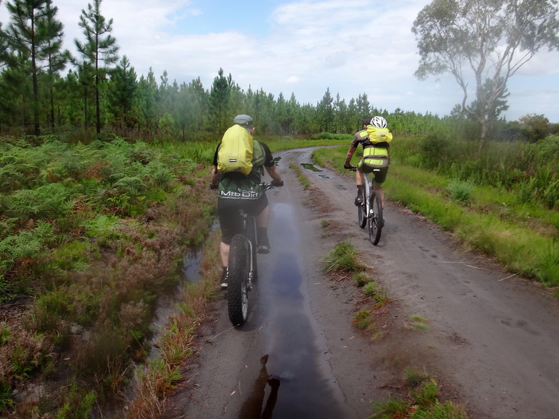
After lunch we retraced our tracks southwards. The rain had hardened up the trail, and we found it much easier to ride on.
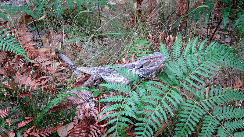
(Photo: Tony Ryan)
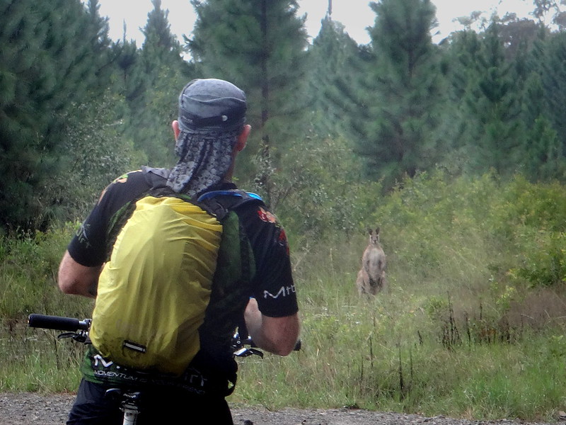
We stopped when the local wildlife told us to ![]()
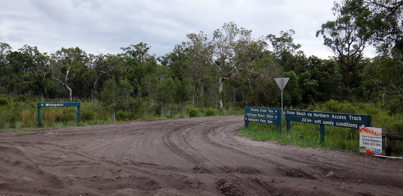
After laboring through several kilometres of soft sand we eventually reached the Gallagher Point turn-off at White Patch. We were all secretly relieved to be riding on a paved road. Sand is hard work.
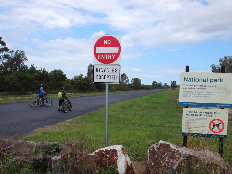
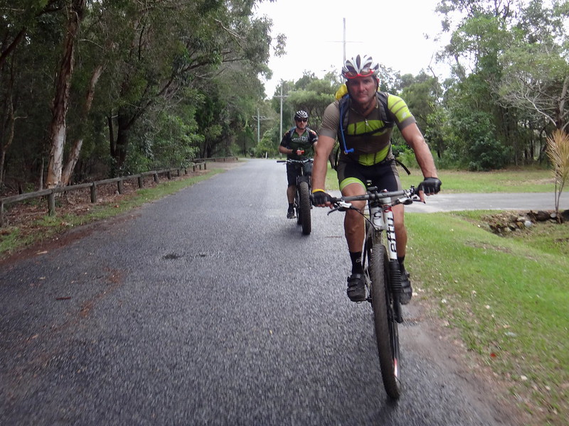
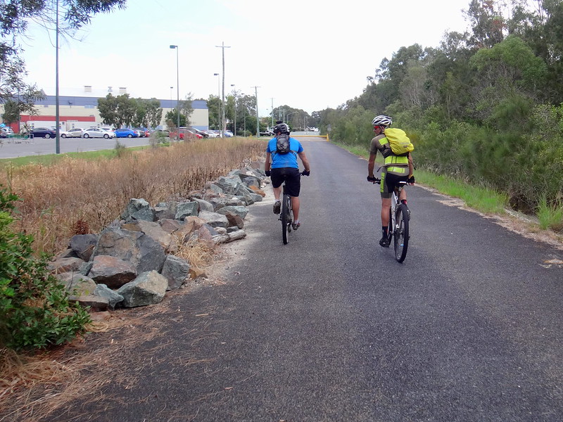
Hornsby Road is unusual. It’s long and straight. You could easily land an aircraft on it. The best thing about Hornsby Road is that it’s closed to all traffic except bikes, so we enjoyed an easy few kilometres rolling down the tarmac towards our starting point.
After riding for just over 6 hours including breaks, we finally arrived back at our starting point.
The total distance was just under 50km. Although there was little change in altitude on this ride, I burned about 3,000 kcal.
I’ll rate this ride 8 out of 10 on the tough-o-meter. The first half (on the beach) was really easy, the second half (on the soft sand) we quite challenging.
Thanks Darb, Jason and Rick for a really fun ride.
It was a bit tougher than I had hoped for, but I’m very glad to be back on the bike again!





No comments:
Post a Comment