Please note: you can find a more up to date version of this blog at http://blog.neilennis.com

Sunday, May 31, 2015

Laidley

Read More

Jason on Old Grandchester Road

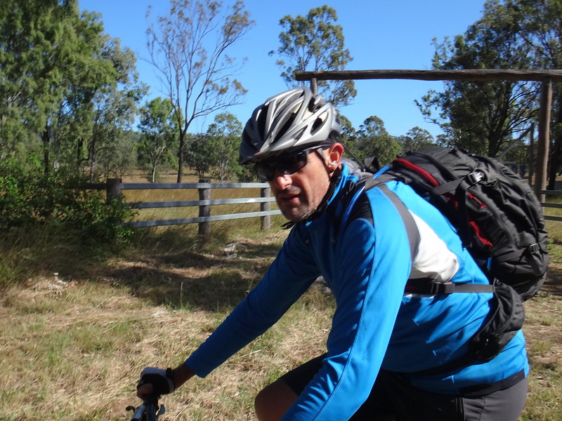
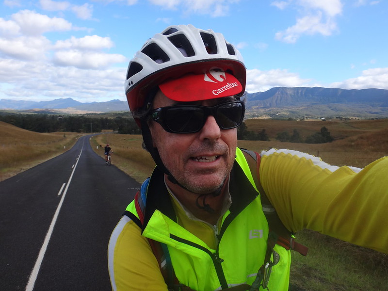
We followed Allan Cunninghamn’s journey to the historic pass through the Great Dividing Range last week, and continued the theme today: exploring more of his travels in in a scenic loop west of Ipswich, over the Little Liverpool Range to Laidley and back again.


Railway Crossing

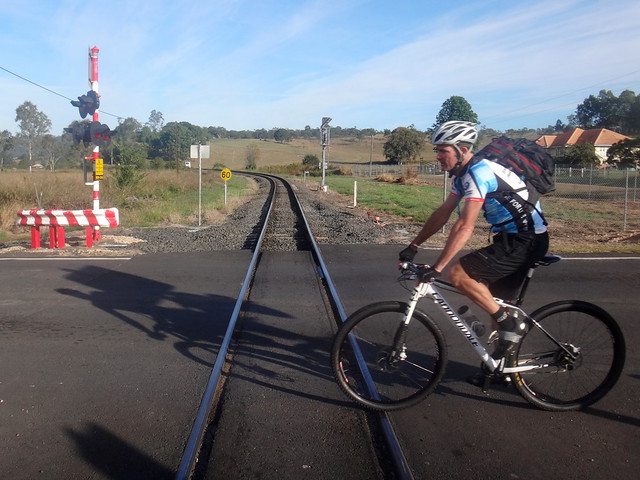
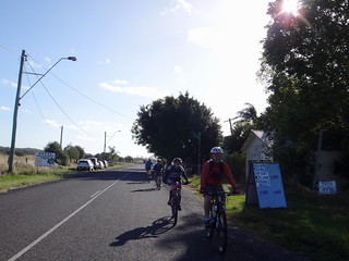
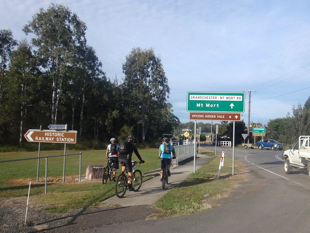
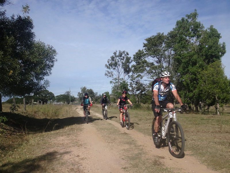
We started at Grandchester, a small town on the main railway line between Ipswich and Toowoomba., and home to one of the oldest railway stations on Queensland.


Grandchester

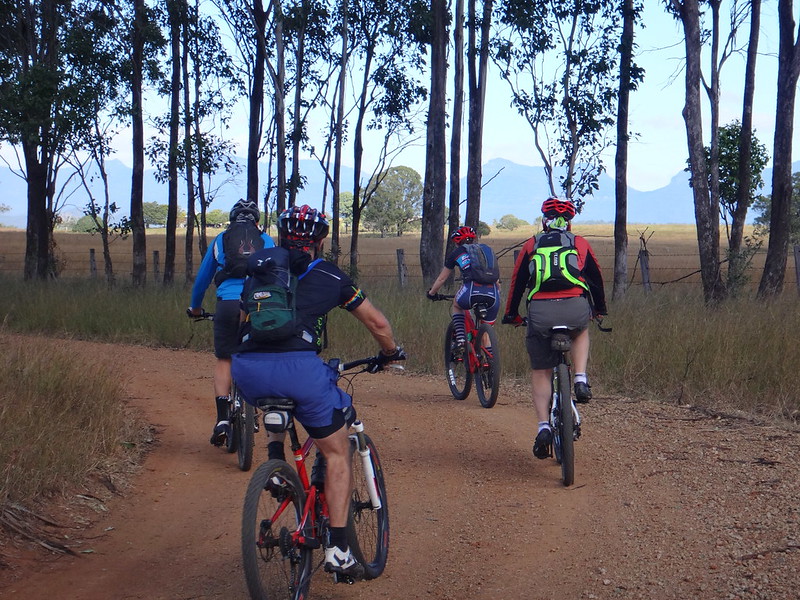
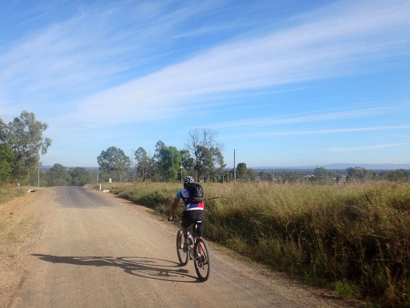
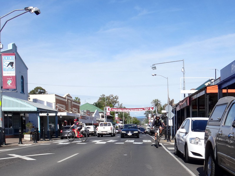
For a couple of kilometres we followed the paved road westwards out of town towards the Little Liverpool Range.


Old Grandchester Road

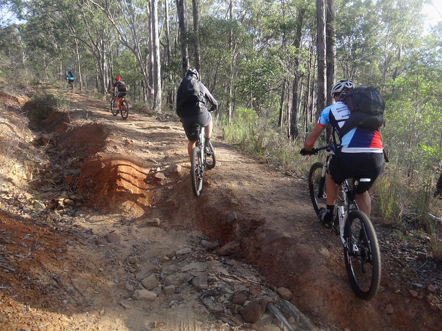
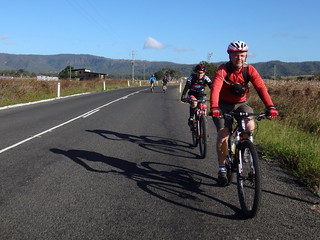
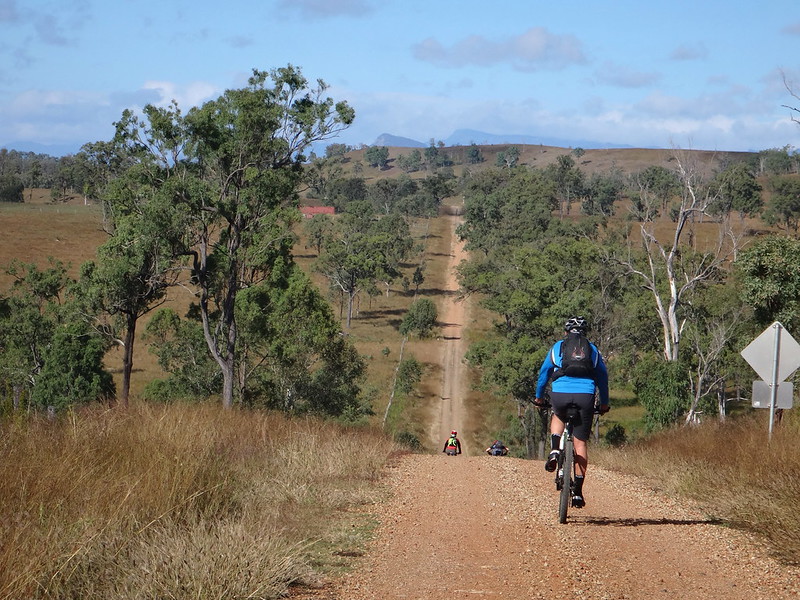
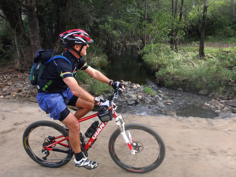
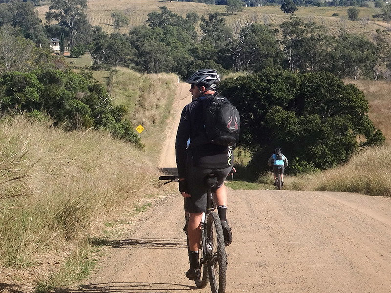
After a few minutes we were glad to leave the traffic and point our bikes up the steep and bumpy slopes of Old Grandchester Road.


Old Grandchester Road

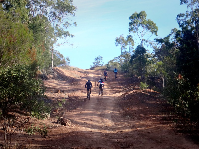
While the newer paved road is a much smoother (and busier) way over the range, this old dirt track is a much more enjoyable way to cross over the hills to Laidley.


Old Grandchester Road

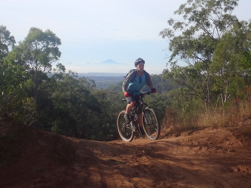
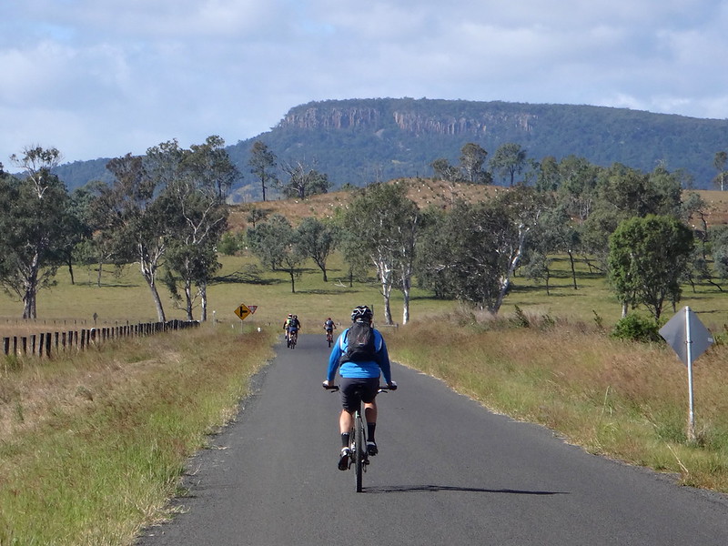
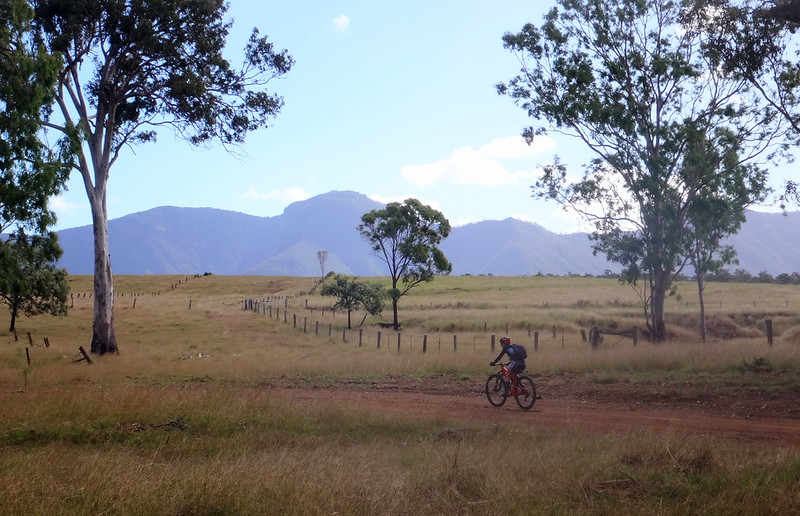
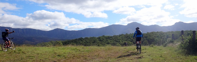
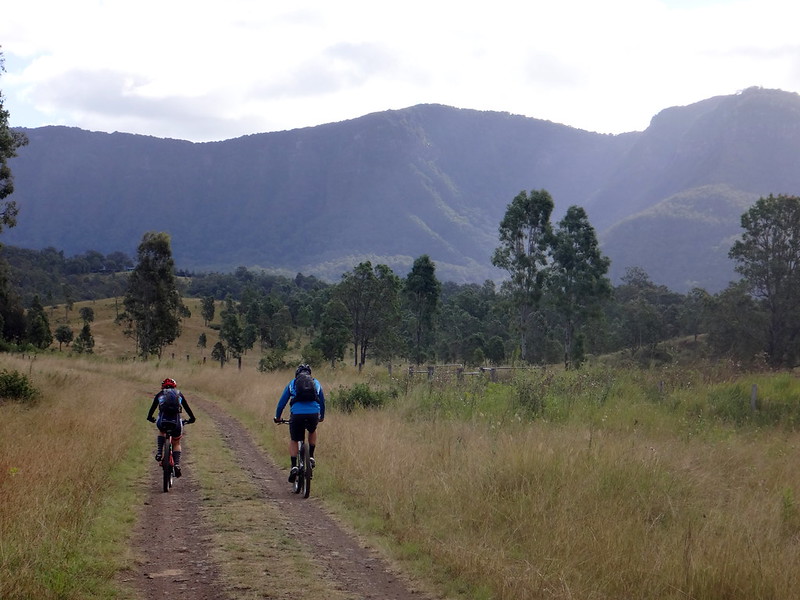
We stopped at the top to look back towards Flinders Peak shrouded in cloud to the east.


Old Grandchester Road

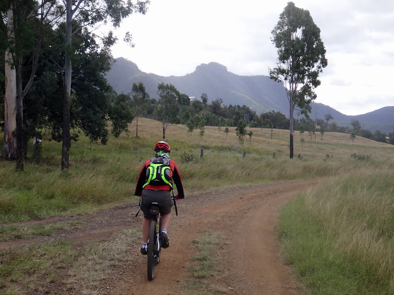
As we bumped down the other side, we could see the plains around Laidley stretching out to the west.


Old Grandchester Road

Old Grandchester Road

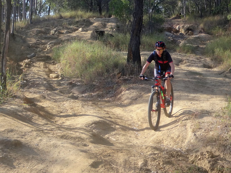
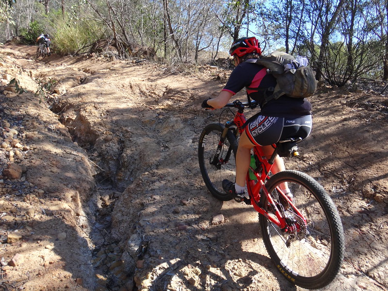
There were one or two steep drop-offs along the way, so we needed to pick our way carefully down the other side.


Old Grandchester Road

Eventually we reached the bottom of Old Grandchester Road and enjoyed a quiet roll into the town of Laidley.


Schultz Lookout Road

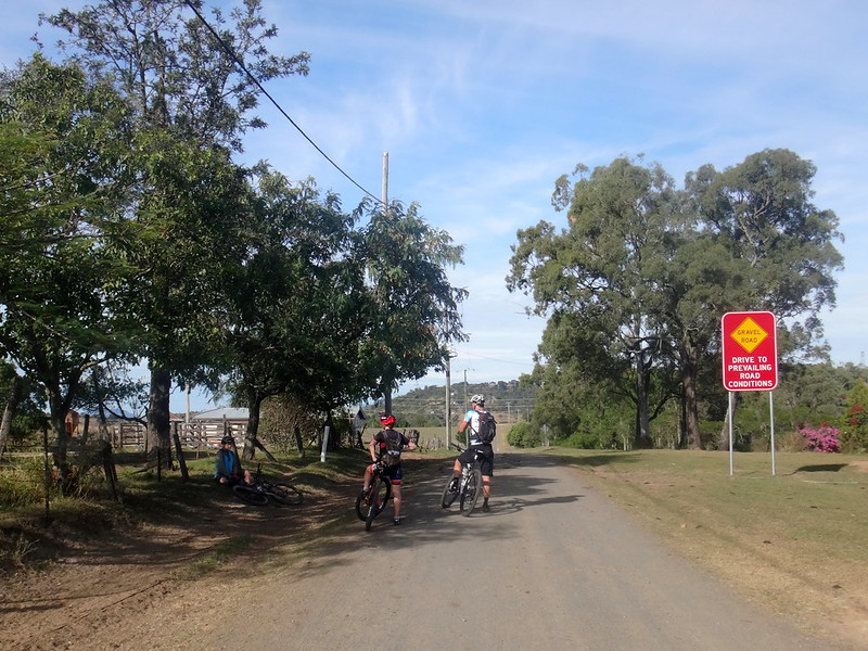
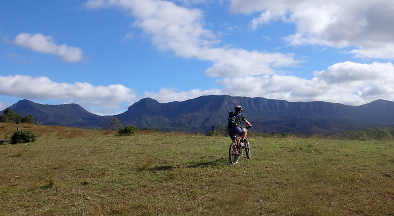
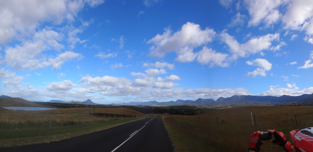
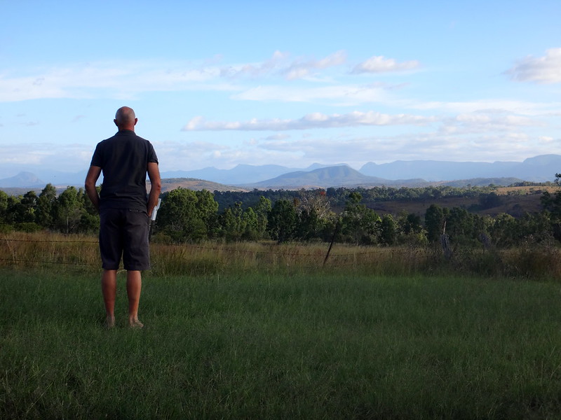
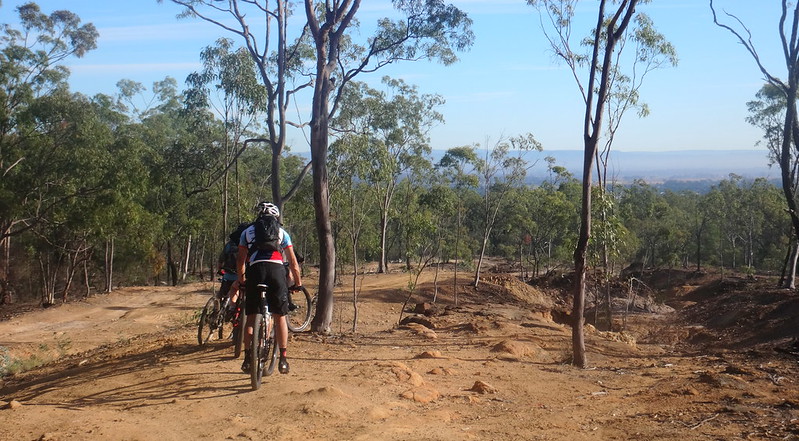
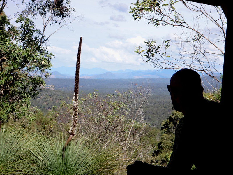
Instead of stopping in town so early on a Saturday morning, we decided to continue westwards towards Shultz Lookout. I’d never been there before, and was curious to check it out.


Schultz Lookout

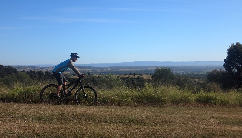
After a short sharp climb to the top, we enjoyed a brief rest in the shade while we soaked up the 360 degree views.


Luck Road

Sippel Road

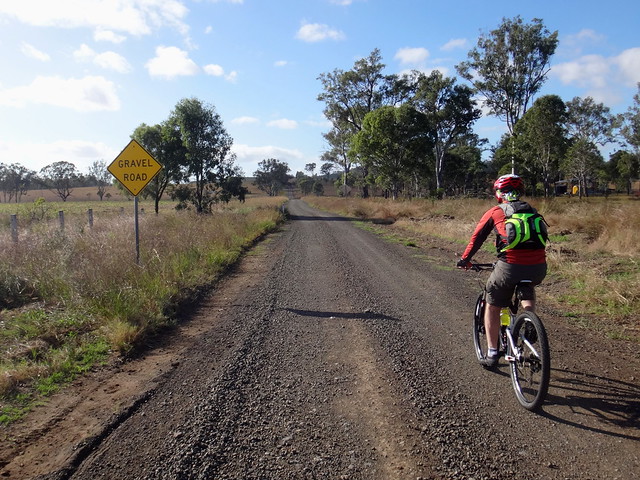
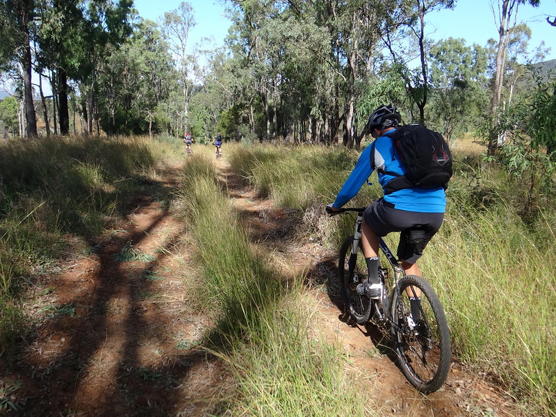
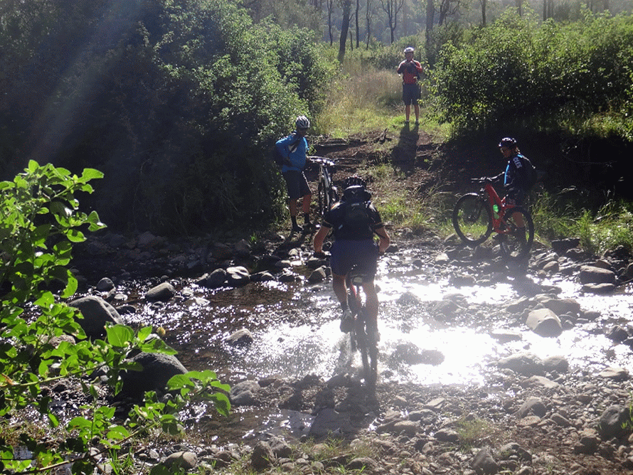
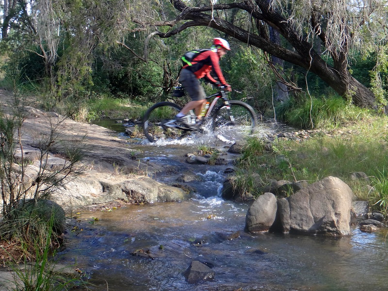
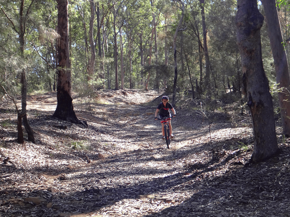
After a brisk roll back down the hill we avoided paved roads, following a circuitous route along some of the wonderful dirt tracks and lanes which criss-cross the Lockyer Valley.


Salt Springs Road

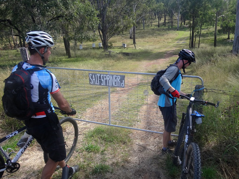
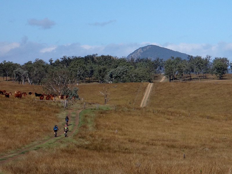
“Salt Spring Road” is little more than a couple of tyre tracks which head off into the grassy hills from a friendly roadside gate – perfect for mountain biking.


Salt Springs Road

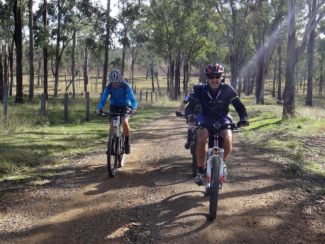
I had seen the reserve for road on a map a few weeks ago, and was glad to be able to satisfy my curiosity as we followed it towards Glen Cairn.


Brabed Wire Gate

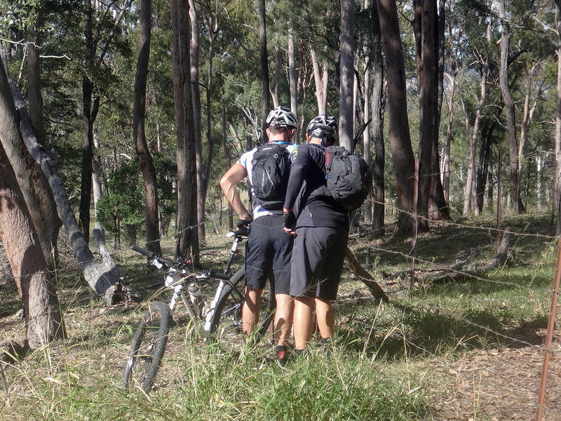
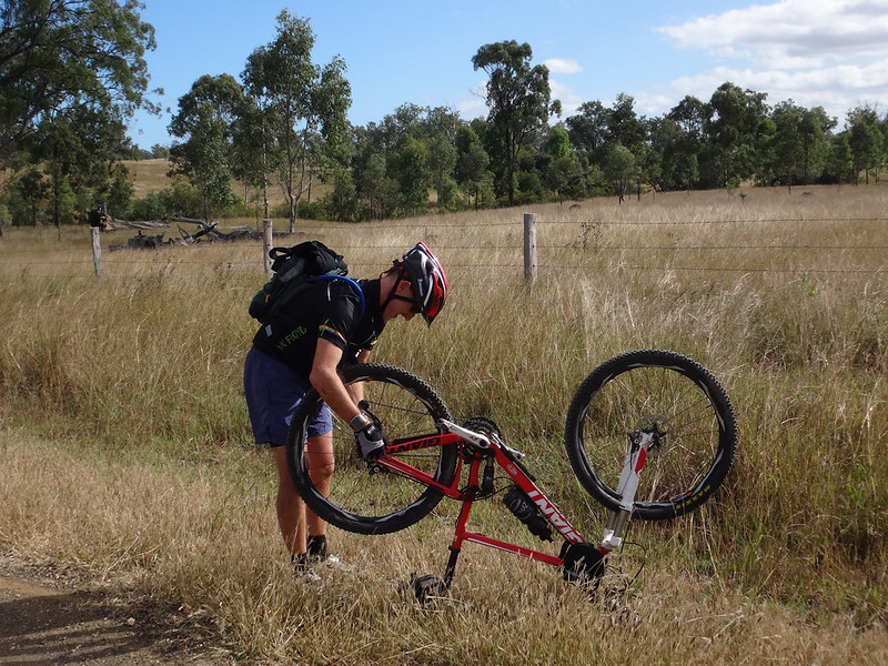
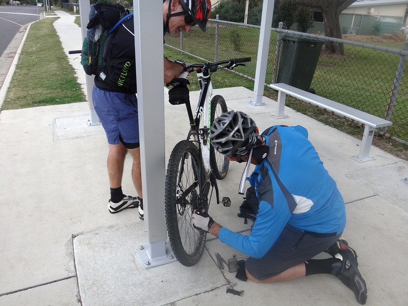
As with most farm tracks we had to deal with several barbed-wire gates along the way.


Whiteway Road

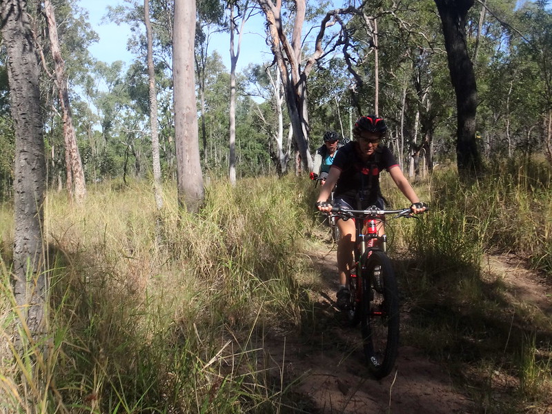
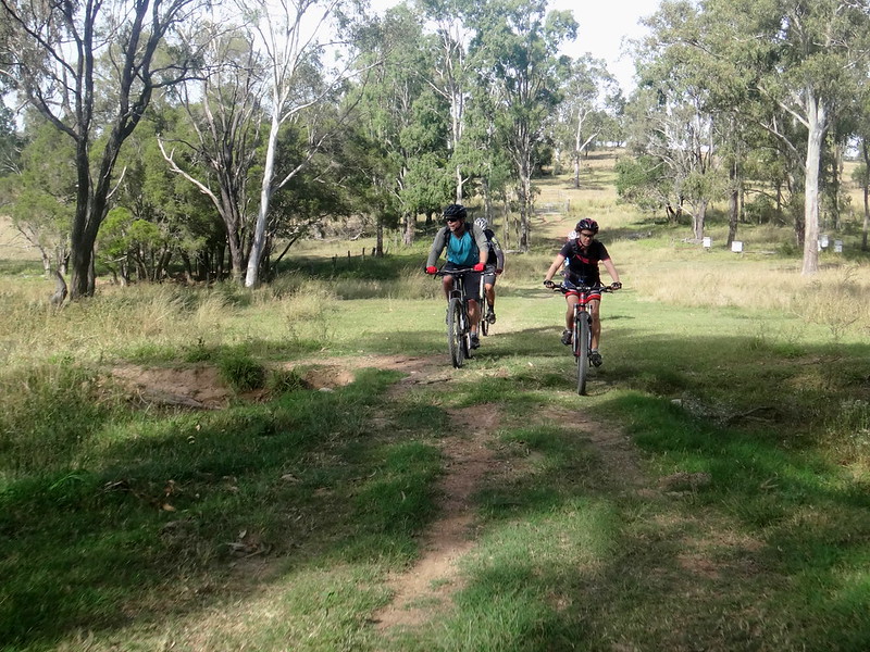
Whiteway “Road” was barely visible through the long grass. While mountain bikers and horse riders love these sorts of tracks, it’s not the sort of place you’d try to drive a car.


Whiteway Road

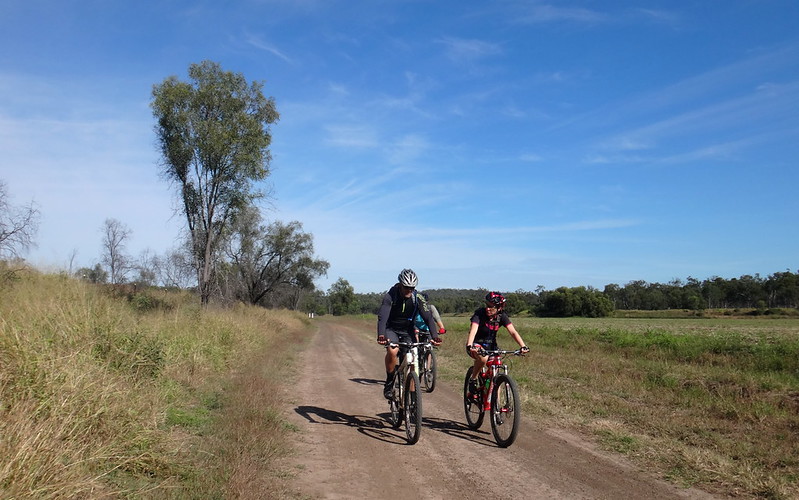
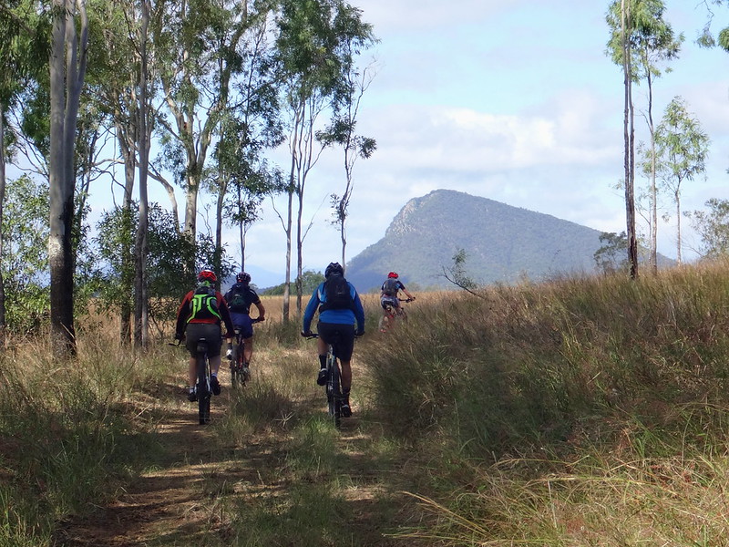
Eventually the tall grass gave way to wide open spaces between farm paddocks near Forest Hill. Wisps of cloud adorned the vaulted blue sky of late autumn.


Perfect.


Bridge

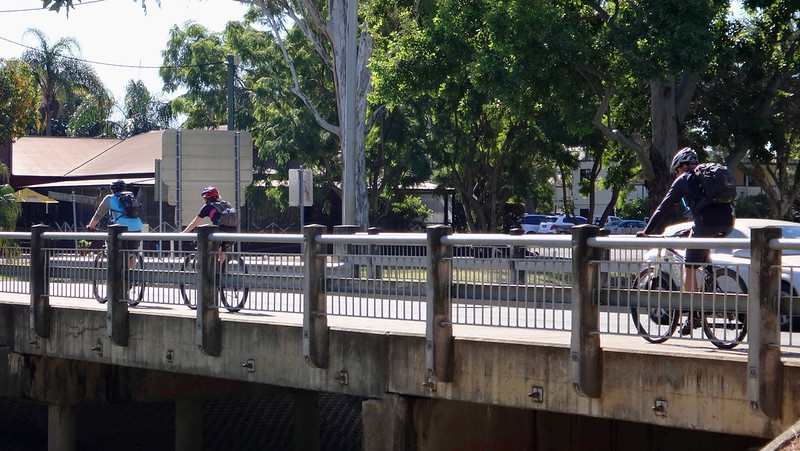
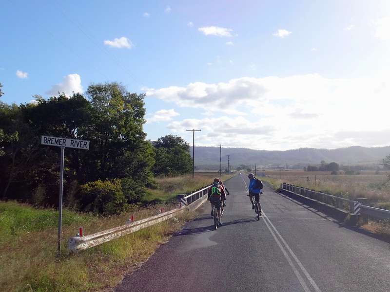
After a quick pedal along a busy road, we rolled back into Laidley for an early lunch.


Laidley Town Centre

On our more remote rides, it’s necessary to bring everything: including lunch and extra water. Today was not one of those days. We appreciated the luxury of the local cafe.


Laidley Level Crossing

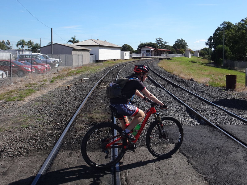
Feeling lethargic from our lunch, we lazily followed the railway track out of town.


Railway Line

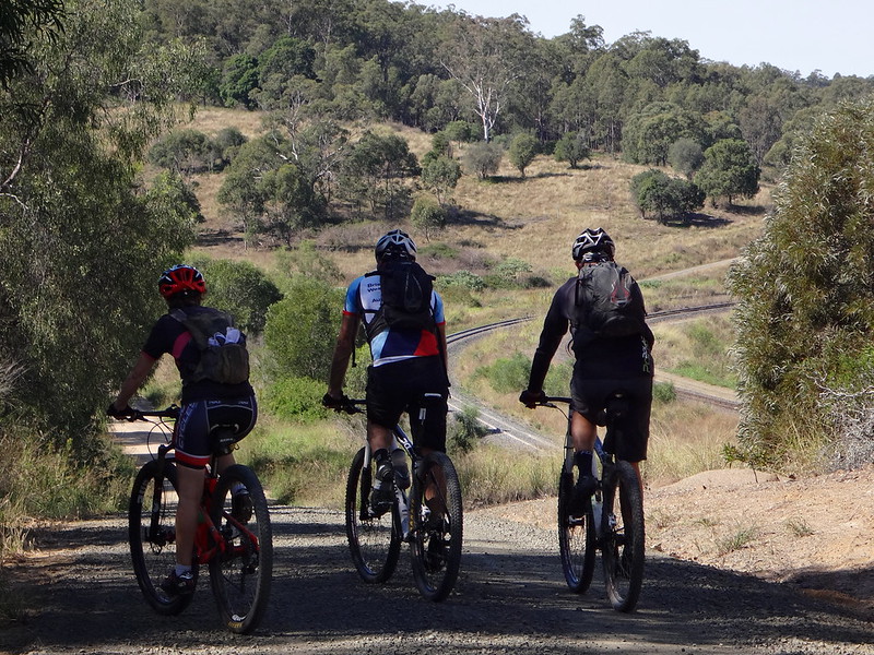
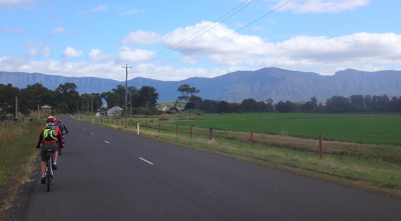
Trains lumber along this railway line for hundreds of kilometres to and from the coal fields of Western Queensland. It passes through a tunnel under the Little Liverpool Range.


Hike A Bike

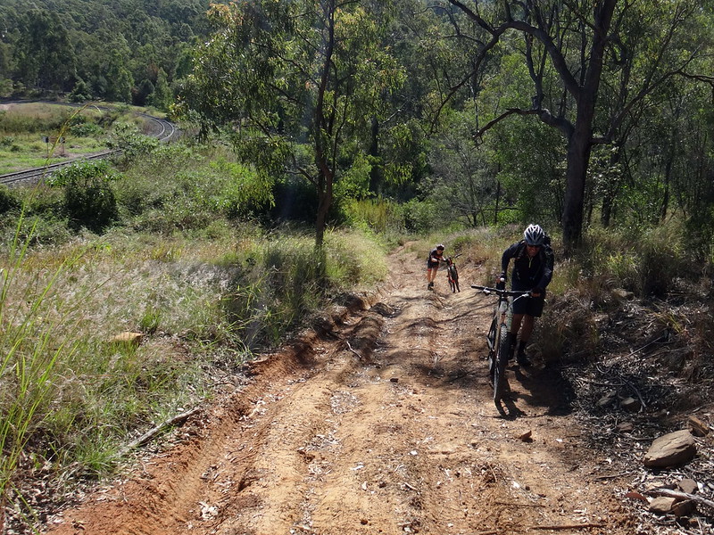
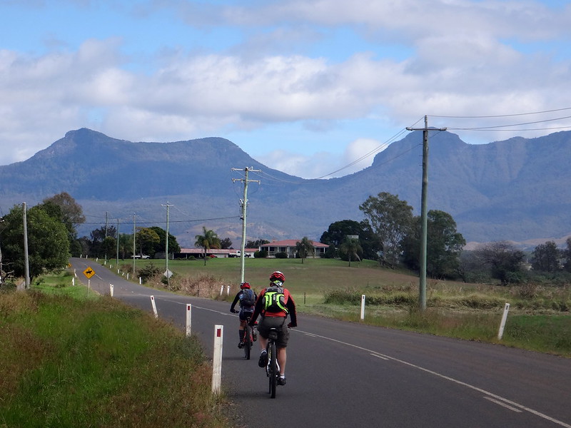
Although the train enjoys a nice easy gradient, the track beside it was steep in parts. We had to walk one or two sections.


Pinch CLimb

Becca preferred to ride those sections rather than walk them.


Railway Pin

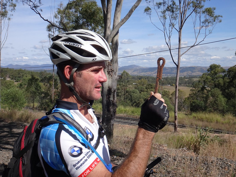
Jason and I joked about this oddly shaped pin – seemingly designed for some railway-related purpose that we couldn’t work out.


As if on cue, a coal train rolled past. I raised my fist above my head and pulled it down a couple of times while yelling “blow your horn!” Drivers at Railway University must learn these hand signals because the driver obligingly gave us a “toot” as he passed us. I chuckled manically to myself.


Brendan and David

As we followed the road reserve up the hill the terrain grew rough and difficult to follow.


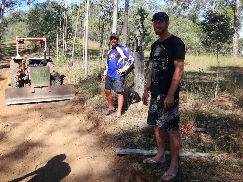
We passed a couple of blokes in a field next to us, who had graded a perfect looking road through their property. It looked very inviting, so we sheepishly asked them if we could jump the fence and ride on their nice track instead. Brendan and David were amused to see us, and kindly let us ride on their side of the fence to the top of the hill. Thanks guys!


Cunninghams Crest

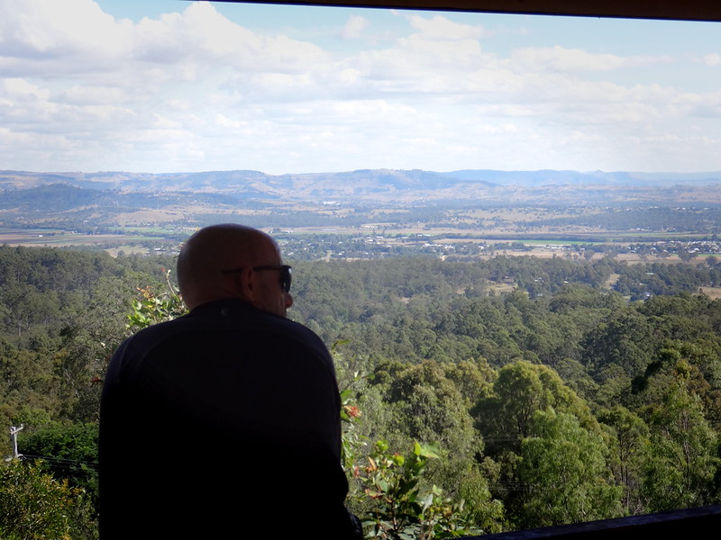
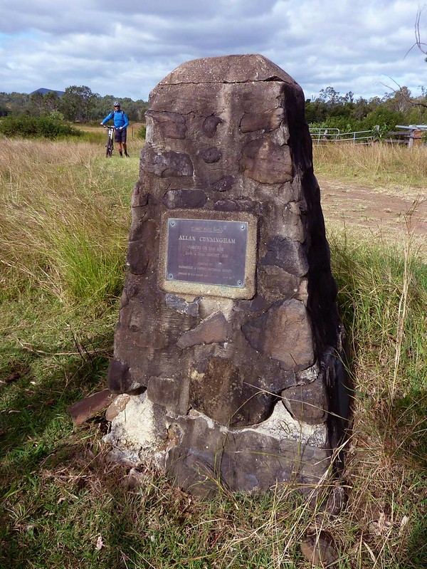
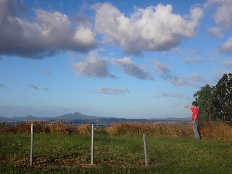
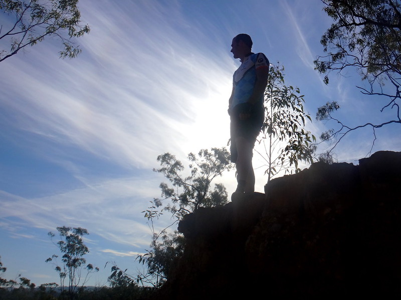
At the top of the hill we stopped at “Cunninghams Crest” lookout.


Cunninghams Crest

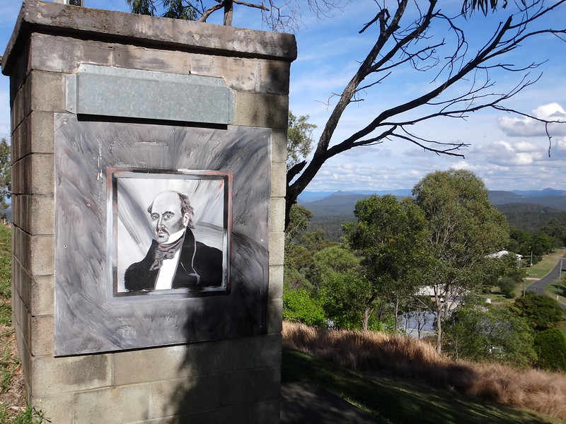
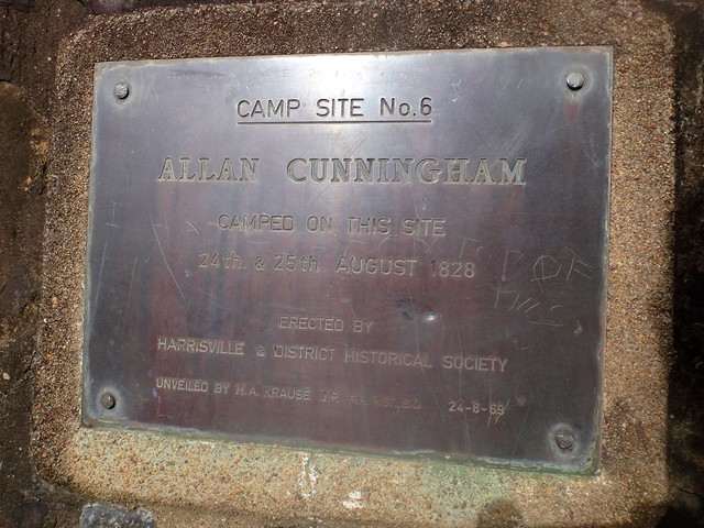
Allan Cunningham climbed this peak in 1829, a year after his journey to Cunningham’s Gap, and caught a glimpse of the wide plain to the west which he named “Laidley’s Plains”.


Cunninghams Crest

I’m sure he looked to the south while he was there, recalling his expedition the year before.


Becca on Summerholm Rd

From the lookout we followed a steep dirt track down the hill back into Grandchester.


The Overflow

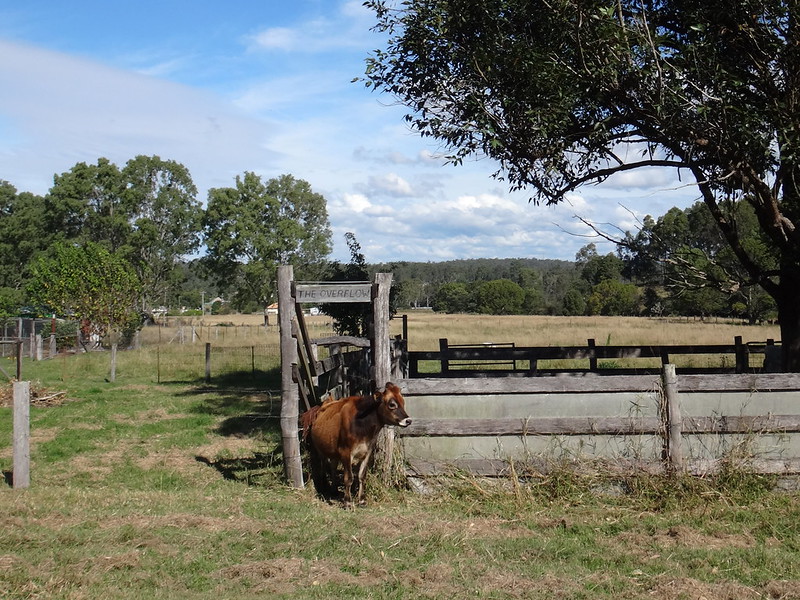
A calf eyed us curiously as we rode past.


Father and Son

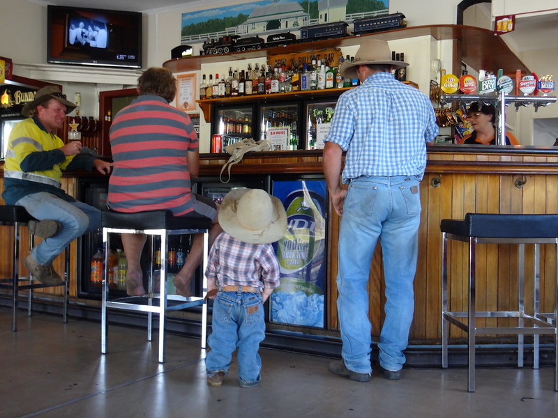
We finished our ride earlier than expected and enjoyed a cool drink at the local pub.


We rode a total of 48km in five hours including several leisurely breaks.


We climbed a total of 940 metres in ascent, and I burned 2,100 kcal.


Physically, this is a reasonably easy ride, but it has one or two steep sections with some moderately challenging descents.


I’ll rate it 6.5 out of 10 on the tough-o-meter – BUT take care on the downhill bits!


Thanks Becca, Paul, Jason R and Jason G for a fun day out.


Sunday, May 24, 2015

Cunningham’s Campsite

Read More

Russel Crossing Creek

In 1828, the explorer Allan Cunningham travelled south-west from Moreton Bay in an attempt to find a route through the Great Dividing Range to the Darling Downs. Today we thought we’d visit one of his campsites, at the foot of the range, where he camped the day before he passed through what we now call “Cunningham’s Gap”.


RosevaleRosevale

We started from the Rosevale Pub on a clear, fresh Autumn morning and headed eastwards along the paved road.


Old Rosevale Rd

After a few minutes we left the tar in favour of the friendly crunch of gravel.


Zanhow Road

The dirt roads around Rosevale are almost maze-like in their complexity. It’s a perfect spot to explore new places on a mountain bike.


Zanhow Road

As we rolled over the hills, we could just see our destination in the distance: the rugged peaks of the Great Dividing Range.


Repairs


Unfortunately, Nigel got a flat tyre after he rode over a bumpy causeway. The bump caused his wheel rim to squash his inner-tube, punching a couple of “snake bite” holes in it.


Flat Tyre

(Photo: Russel Scholl)

As with most mechanicals, there were a lot of spectators offering unsolicited advice about tubeless tyres, puncture kits and pumps. But Nigel was able to fix the puncture nevertheless.


Bald Ridged Road

As we continued south over rolling cattle pasture along Bald Ridged Road, the distant peaks slowly grew closer.


Bald Ridged Road

We then turned into Parsons Gate Road – a delightful lane which twisted through numerous farms. The roads around here have fascinating names. Who was Parsons? Where was his gate? Was he a parson? Was the Ridge always Bald?


Parsons Gate Road

As the Dividing Range loomed at us from behind the trees, I thought of Allan Cunningham and how he must have felt in a land thick with Eucalyptus forest, looking up at the distant rugged peaks, and wondering how he was going to get across.


Paul

And I chatted to Paul, asking how it was that we always seemed to find ourselves in beautiful locations each Saturday. Were we just lucky? Why did it always seem to work out so well? Secretly I hoped our luck wouldn’t ever run out.


Jackson Rd

As we turned into Jackson Road, the track grew bumpier. The grass grew higher. This was a perfect spot to ride a mountain bike!


Mt Edwards

Mt French


Russel, our encyclopedic source of local place names, pointed out Mount Edwards and Mount French.


Aratula

We arrived in Aratula in time for an early lunch. This small town sits on the Cunningham Highway, named after the man whose footsteps we were following today.


Repairs

We also took some time out for more minor repairs. This time roles were reversed as Nigel gave Paul some advice about drivetrains and gears.


Tarome

As we rode westwards on quiet back roads behind Aratula, the Range rose up ahead of us – a seemingly impenetrable wall over a kilometre high.


Cunninghams Gap

Cunningham’s “Gap” stood out – a chink in the armour of the range. Someone approaching from the east, and looking for a way across would obviously be drawn to such a landmark.


Simmonds RoadSimmonds Road


Unfortunately, Nigel suffered a second puncture. We suggested he inflate the tube, and submerge it in a nearby dam so he could quickly spot the leak via the air bubbles.


Sometimes the spectators give good advice :)


Simmonds Road

We had left the paved road and were heading almost directly towards the Gap.


Campsite Road

Eventually we turned into Campsite Road, named after the famous campsite. “Road” was a slight exaggeration. The fence posts leading up the hill suggested that this corridor was in fact a road reserve. We followed faint tyre tracks up the hill.


Campsite Road

I felt like we were riding through the hills from “The Sound of Music”.


Campsite Road

The panorama was impressive.


Nigel Crossing Creek

We tried our luck riding over several rocky creeks at the bottom of the hill.


Gap Creek

Crystal clear water bubbled over rocks. This would have been a perfect area to set up a camp.


Cunningham Monument

(Photo: Russel Scholl)


Cunningham Monument

And there it was. Cunningham’s Campsite.


In his journal, Cunningham wrote:


“About one o’clock we passed a mile to the southward of our last position, and, entering a valley, we pitched the tents within three miles of the entrance of the Gap now suspected to be the pass of last year’s journey. It being early in the afternoon, I sent one of the people (who, having been of my party on that long tour, knew the features of the country lying to the westward of the Dividing Range) to trace a series of forest ridges which appeared to lead directly up to the hollow back in the range.


“To my utmost gratification he returned at dusk, having traced the ridge about 2½ miles to the foot of the Dividing Range, whence he ascended into the pass, and, from a grassy head immediately above it, beheld the extensive country lying west of the Main Range. He recognized both Darling and Canning Downs, patches of Peel’s Plains, and several remarkable points of the forest hills on that side, fully identifying this hollow back with the Pass discovered last year at the head of Millar’s Valley.


Allan CunninghamCunningham's Sketches

(Source: Project Gutenberg )


The year before, in 1827, Cunningham had explored the western side of the range, having travelled north from the Hunter Valley. He found what he thought would be a suitable pass through the mountains.


In 1828 he had a vague idea of the location and shape of the pass he was looking for, and returned to the area, this time travelling from Moreton Bay in the east, with Patrick Logan and Charles Fraser.


Ironically, the pass that Cunningham found the year before was Spicers Gap – about 3km to the south of Cunninghams Gap. Spicers Gap is a much easier route through the mountains, having been used by the Ugarapul aboriginal people long before European settlement. But when he returned in 1828 the lower elevation of Cunninghams Gap must have proved too alluring, and he chose that route instead. In those days it was steep and treacherous. There are stories of carts being hauled up steep tracks with ropes.


It wasn’t until 20 years later that Henry Alphen rediscovered Spicers Gap, which was then used as a stagecoach route.


If only Allan Cunningham had asked directions from the Ugarapul people :)


Campsite Road

Delighted in finding the campsite, we began the homeward leg of our journey, riding north under the shadow of the range to our left.


Campsite Road

This part of our route followed the Bicentennial National Trail northwards towards Rosevale. Perhaps that’s why owner of the pub has placed huge “Free Camping” signs out the front of his pub.


Scenic Rim Panorama

As we climbed the hill out of the Warrill Creek valley, we had a look back at the imposing range. We could see Mount Barney and Maroon in the southeast, the Border Ranges in front of us, and the Great Divide on our left.


Nigel

Bremer River


The slight downhill gradient and tailwind made the homeward trip much easier as we followed the Bremer River back to Rosevale.


Cunninghams Lookout

On the drive home from Rosevale, Paul and I stopped at Cunningham’s Lookout, Warrill View. It’s from this point that Cunningham was able to see the terrain and work out the best route for his trip to the Gap.


Cunninghams Lookout

I looked north towards Laidley, and “Cunningham’s Rise” – another lookout that he had used several days earlier to plan his route.


Neil

All up we travelled 67km in about 6 hours including breaks and time stopped for repairs.


I burned about 2,900 kcal and we climbed about 950m in elevation.


This is a relatively easy ride, perfect for the cooler months with a couple of sections on paved roads.


I’ll rate it 6.5 out of 10 on the tough-o-meter.


Thanks Becca, Paul, Russel and Nigel for a great day out!