
We followed Allan Cunninghamn’s journey to the historic pass through the Great Dividing Range last week, and continued the theme today: exploring more of his travels in in a scenic loop west of Ipswich, over the Little Liverpool Range to Laidley and back again.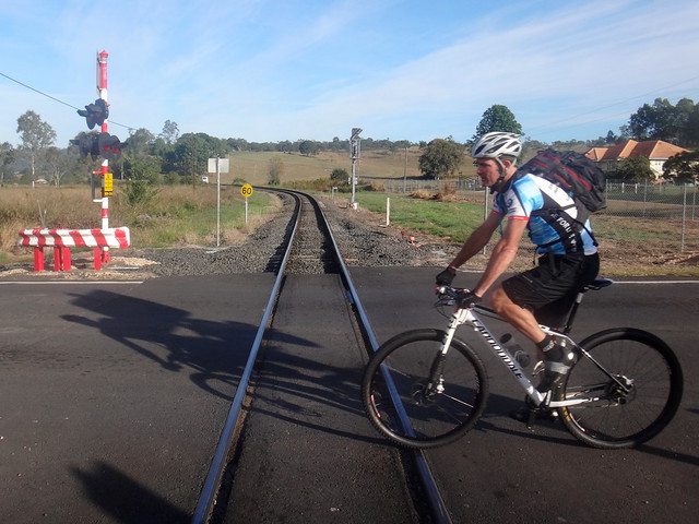
We started at Grandchester, a small town on the main railway line between Ipswich and Toowoomba., and home to one of the oldest railway stations on Queensland.
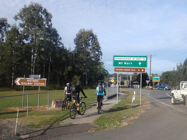
For a couple of kilometres we followed the paved road westwards out of town towards the Little Liverpool Range.
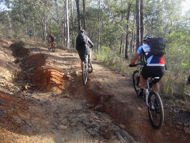
After a few minutes we were glad to leave the traffic and point our bikes up the steep and bumpy slopes of Old Grandchester Road.
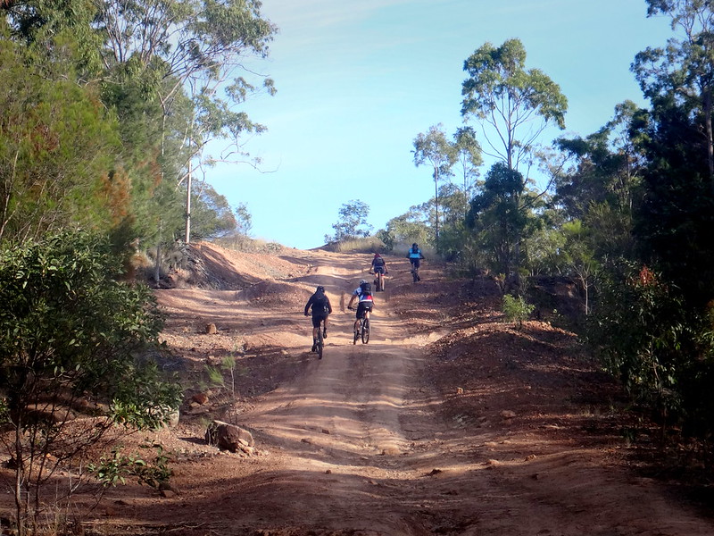
While the newer paved road is a much smoother (and busier) way over the range, this old dirt track is a much more enjoyable way to cross over the hills to Laidley.
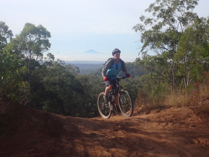
We stopped at the top to look back towards Flinders Peak shrouded in cloud to the east.
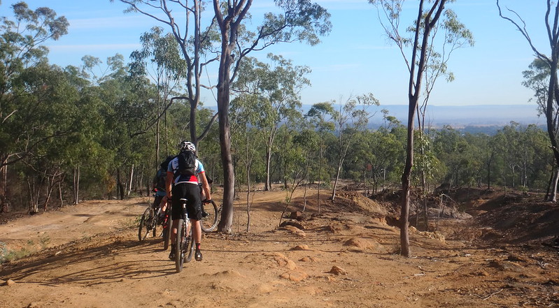
As we bumped down the other side, we could see the plains around Laidley stretching out to the west.
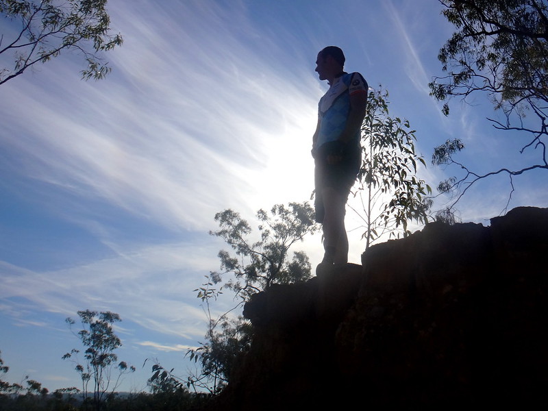
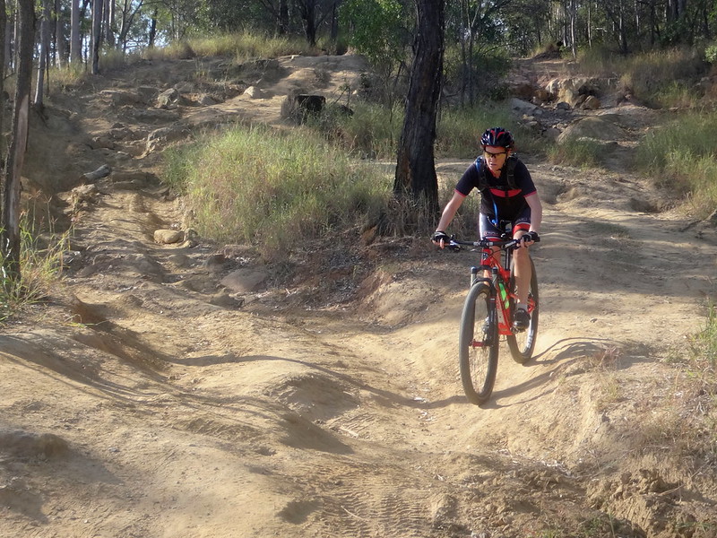
There were one or two steep drop-offs along the way, so we needed to pick our way carefully down the other side.
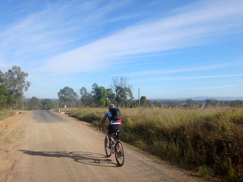
Eventually we reached the bottom of Old Grandchester Road and enjoyed a quiet roll into the town of Laidley.
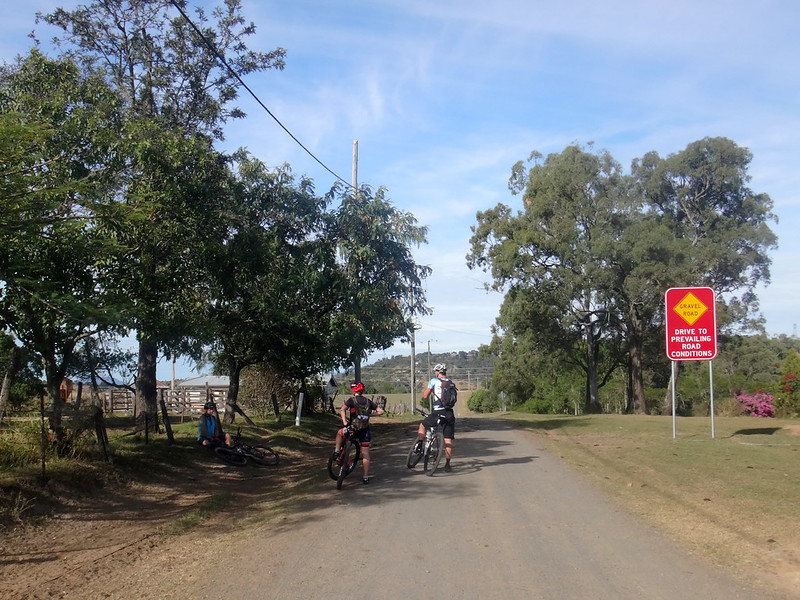
Instead of stopping in town so early on a Saturday morning, we decided to continue westwards towards Shultz Lookout. I’d never been there before, and was curious to check it out.
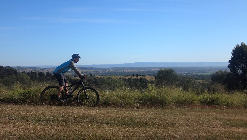
After a short sharp climb to the top, we enjoyed a brief rest in the shade while we soaked up the 360 degree views.
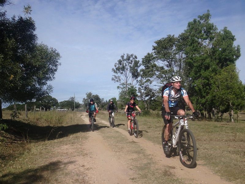
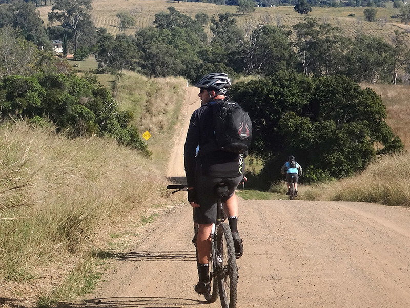
After a brisk roll back down the hill we avoided paved roads, following a circuitous route along some of the wonderful dirt tracks and lanes which criss-cross the Lockyer Valley.
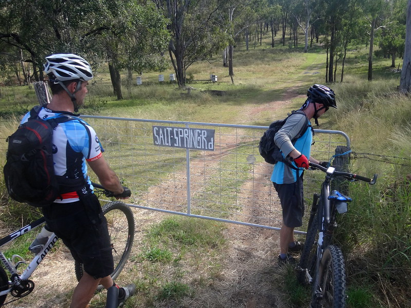
“Salt Spring Road” is little more than a couple of tyre tracks which head off into the grassy hills from a friendly roadside gate – perfect for mountain biking.
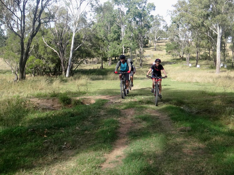
I had seen the reserve for road on a map a few weeks ago, and was glad to be able to satisfy my curiosity as we followed it towards Glen Cairn.
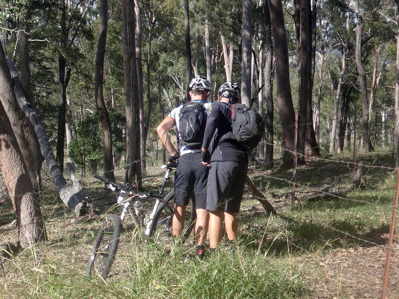
As with most farm tracks we had to deal with several barbed-wire gates along the way.
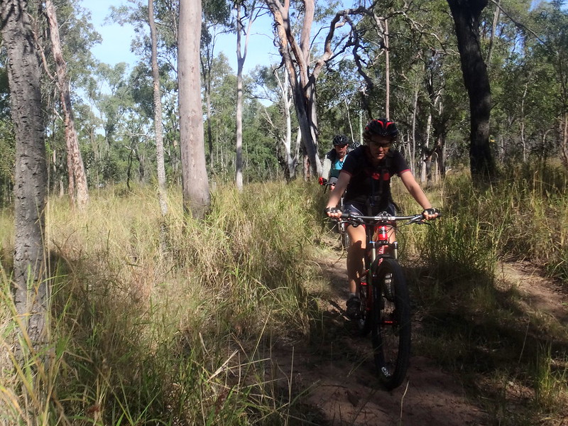
Whiteway “Road” was barely visible through the long grass. While mountain bikers and horse riders love these sorts of tracks, it’s not the sort of place you’d try to drive a car.
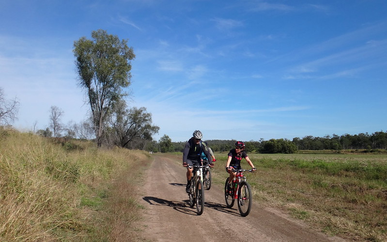
Eventually the tall grass gave way to wide open spaces between farm paddocks near Forest Hill. Wisps of cloud adorned the vaulted blue sky of late autumn.
Perfect.
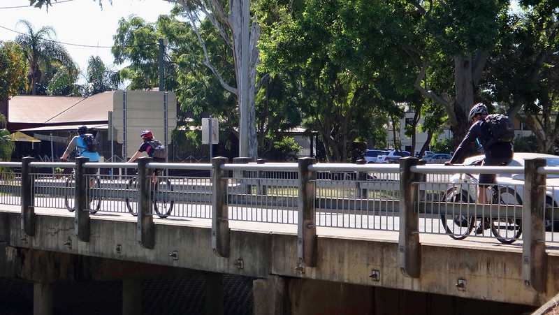
After a quick pedal along a busy road, we rolled back into Laidley for an early lunch.
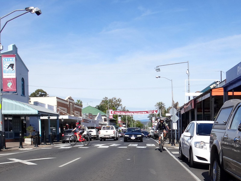
On our more remote rides, it’s necessary to bring everything: including lunch and extra water. Today was not one of those days. We appreciated the luxury of the local cafe.
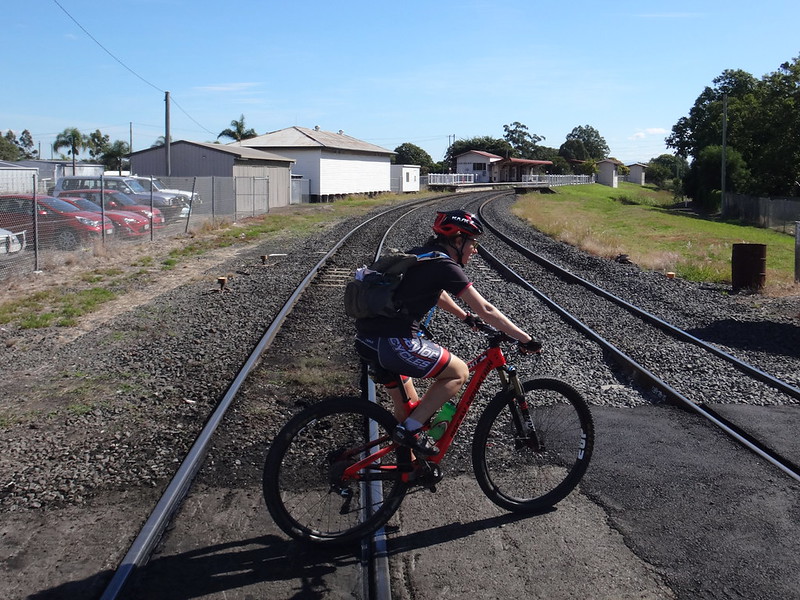
Feeling lethargic from our lunch, we lazily followed the railway track out of town.
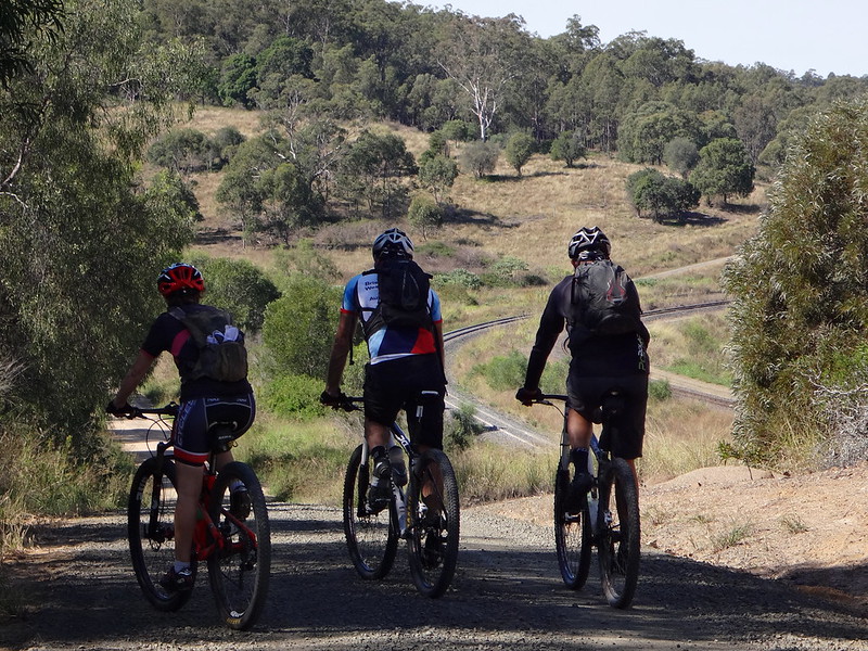
Trains lumber along this railway line for hundreds of kilometres to and from the coal fields of Western Queensland. It passes through a tunnel under the Little Liverpool Range.
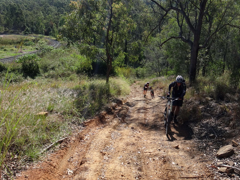
Although the train enjoys a nice easy gradient, the track beside it was steep in parts. We had to walk one or two sections.
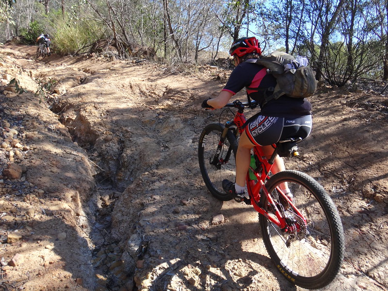
Becca preferred to ride those sections rather than walk them.
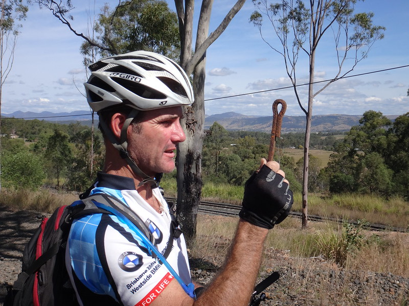
Jason and I joked about this oddly shaped pin – seemingly designed for some railway-related purpose that we couldn’t work out.
As if on cue, a coal train rolled past. I raised my fist above my head and pulled it down a couple of times while yelling “blow your horn!” Drivers at Railway University must learn these hand signals because the driver obligingly gave us a “toot” as he passed us. I chuckled manically to myself.
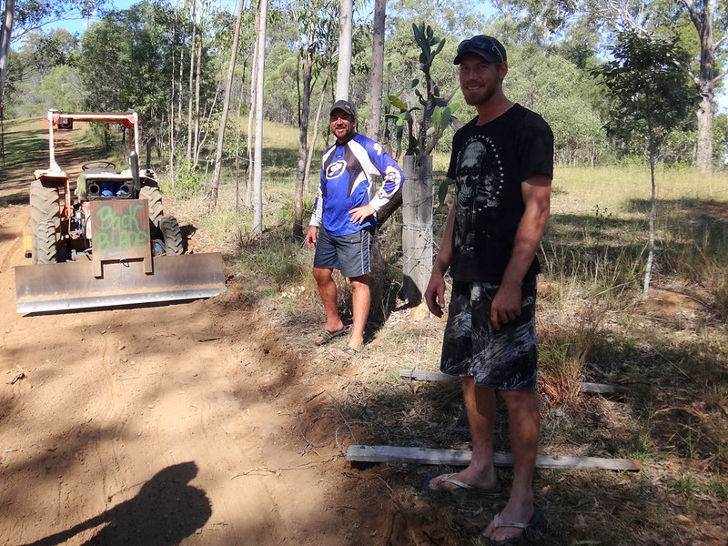
As we followed the road reserve up the hill the terrain grew rough and difficult to follow.
We passed a couple of blokes in a field next to us, who had graded a perfect looking road through their property. It looked very inviting, so we sheepishly asked them if we could jump the fence and ride on their nice track instead. Brendan and David were amused to see us, and kindly let us ride on their side of the fence to the top of the hill. Thanks guys!
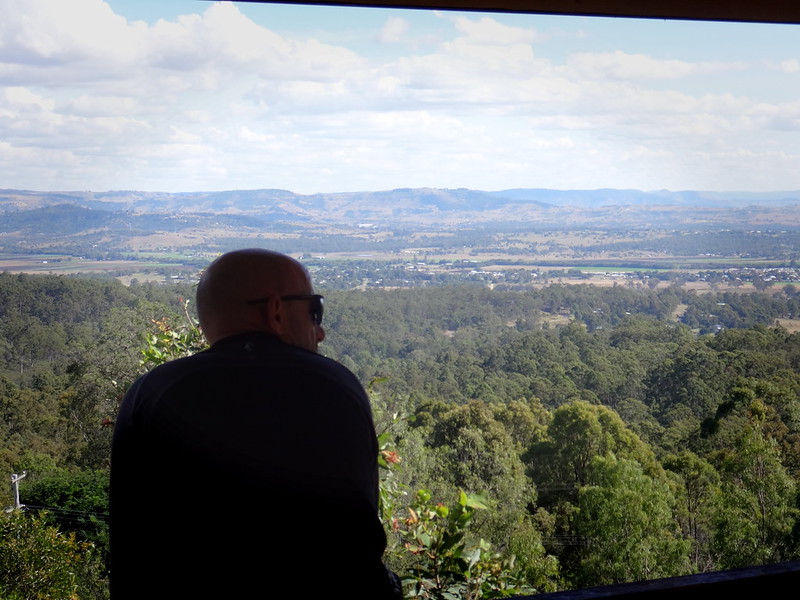
At the top of the hill we stopped at “Cunninghams Crest” lookout.
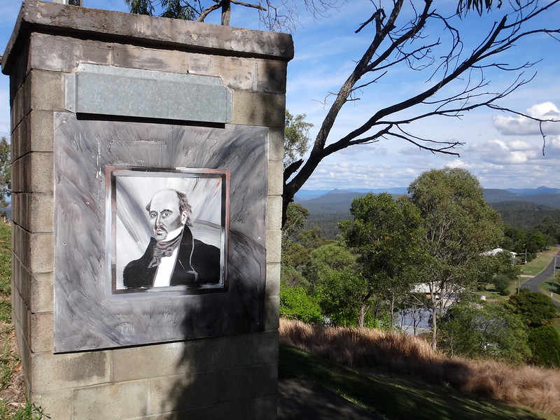
Allan Cunningham climbed this peak in 1829, a year after his journey to Cunningham’s Gap, and caught a glimpse of the wide plain to the west which he named “Laidley’s Plains”.
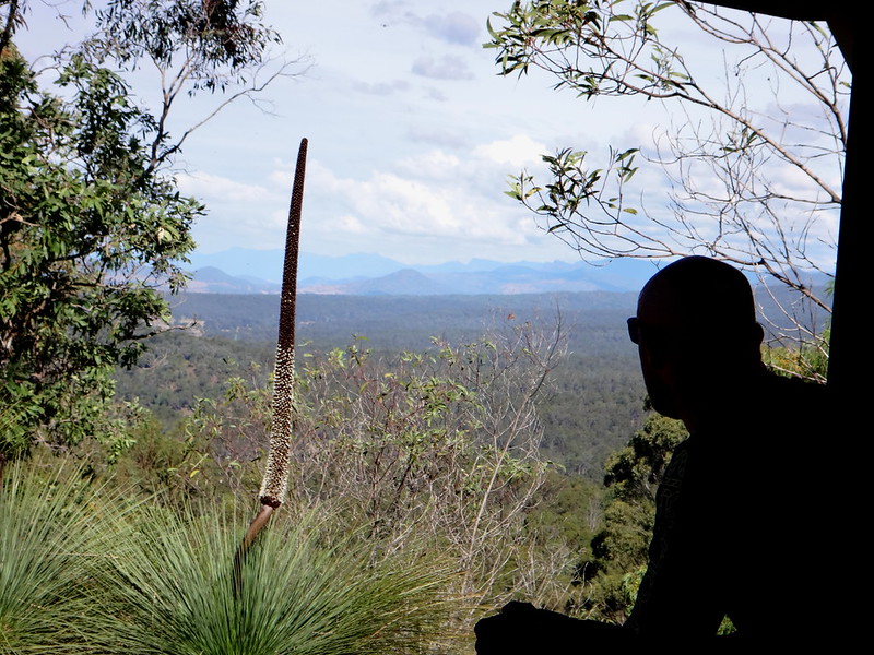
I’m sure he looked to the south while he was there, recalling his expedition the year before.
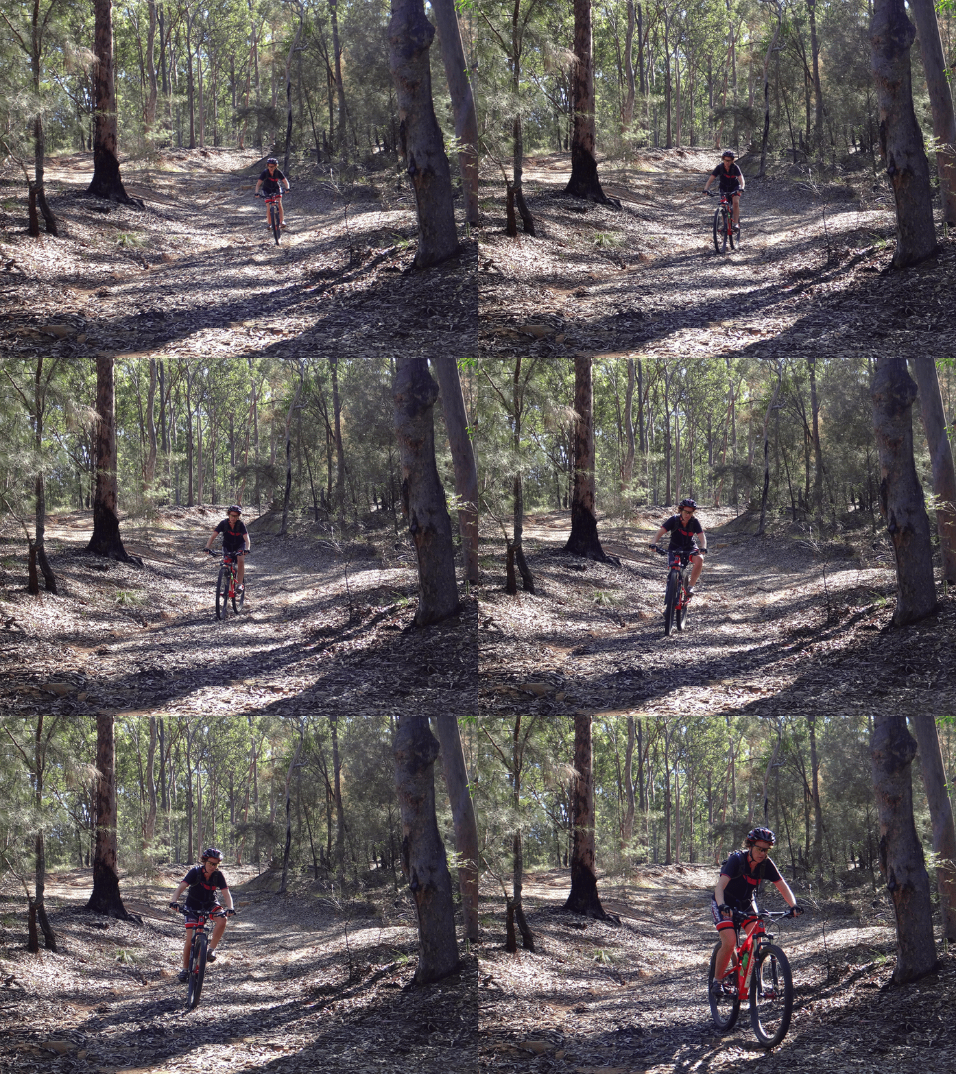
From the lookout we followed a steep dirt track down the hill back into Grandchester.
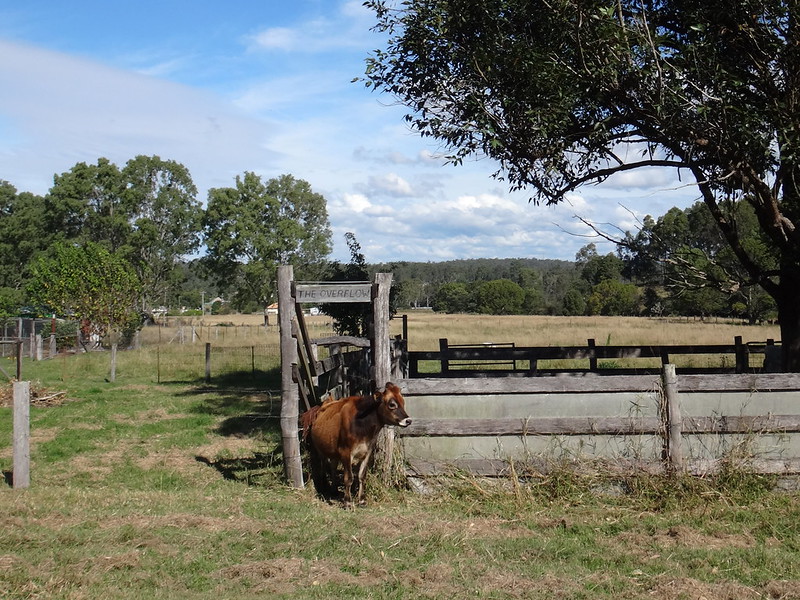
A calf eyed us curiously as we rode past.
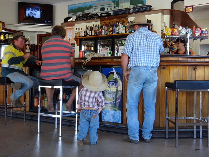
We finished our ride earlier than expected and enjoyed a cool drink at the local pub.
We rode a total of 48km in five hours including several leisurely breaks.
We climbed a total of 940 metres in ascent, and I burned 2,100 kcal.
Physically, this is a reasonably easy ride, but it has one or two steep sections with some moderately challenging descents.
I’ll rate it 6.5 out of 10 on the tough-o-meter – BUT take care on the downhill bits!
Thanks Becca, Paul, Jason R and Jason G for a fun day out.


No comments:
Post a Comment