Please note: you can find a more up to date version of this blog at http://blog.neilennis.com

Wednesday, December 26, 2012

Fat Bike!

Read More

On the beach

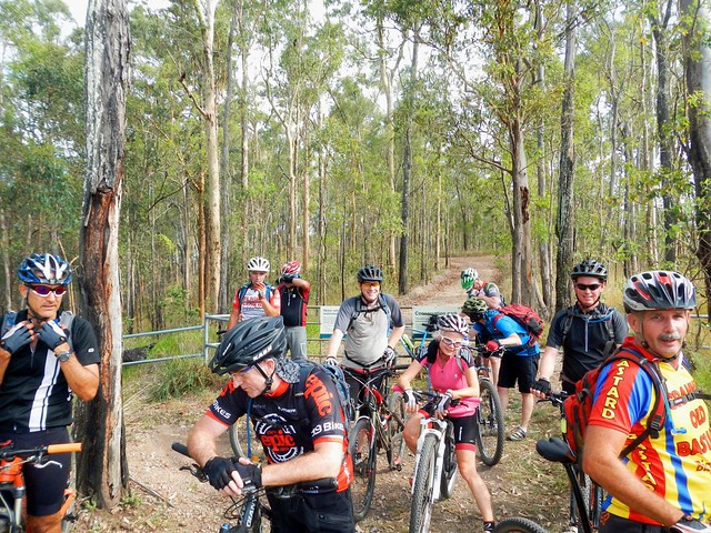
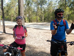
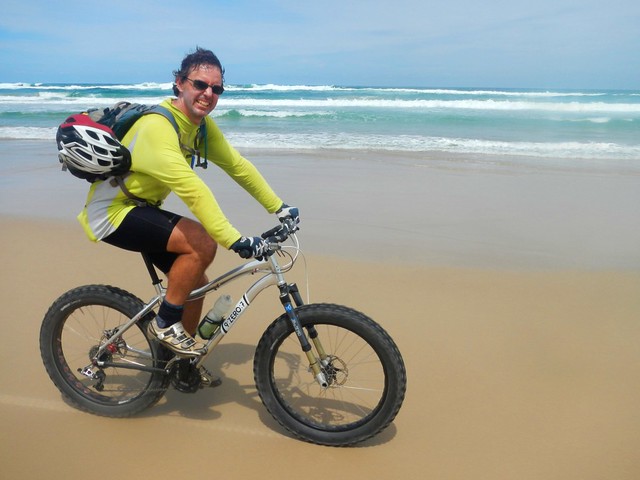
A Fat Bike is a mountain bike with really fat tyres that allows you to comfortably ride on loose surfaces like sand and mud. My friend Murray let me ride his spare fat bike (a 9:Zero:7) yesterday while we did a bit of exploring on the trails between Coolum and Noosa.

On the beach

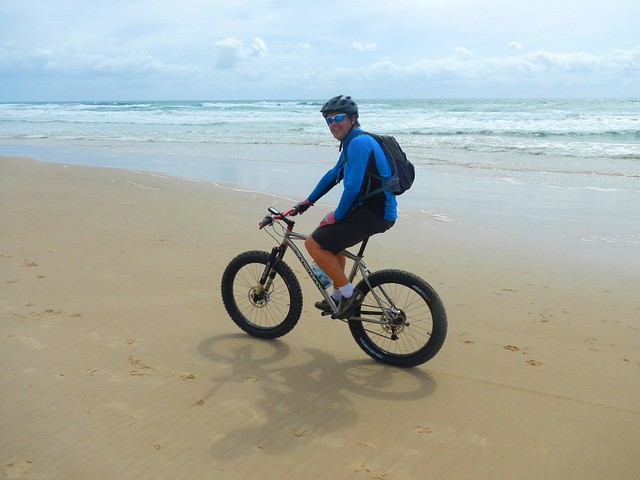
We started our ride heading north on the beach at Coolum. As soon as we hit the sand, I had a manic grin on my face – riding on a long wide beach was so much fun! With the wind at our backs, it was effortless to zoom along the damp sand. People we passed looked at us with a mixture of amazement and envy. Riding a bike along the beach is not something you usually see.

Noosa National Park

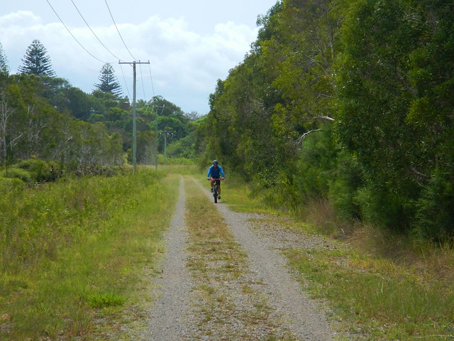
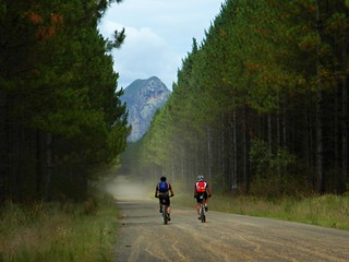
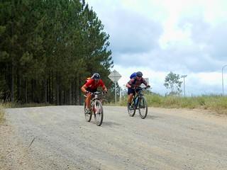
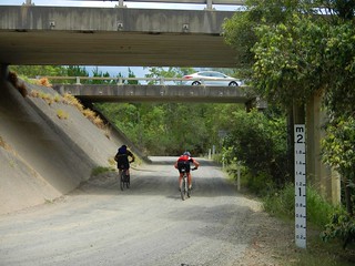
Once we arrived at Peregian Beach, we left the sand, and headed west through the Weyba section of Noosa National Park.

West WeybaWest Weyba

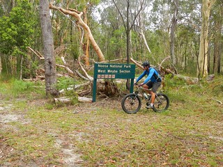
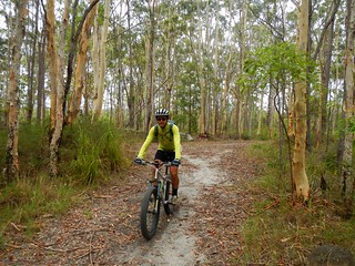
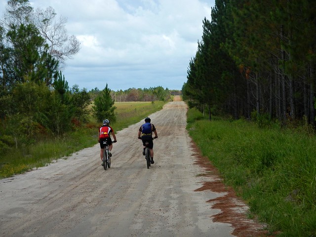
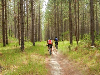
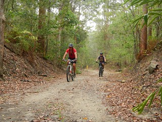
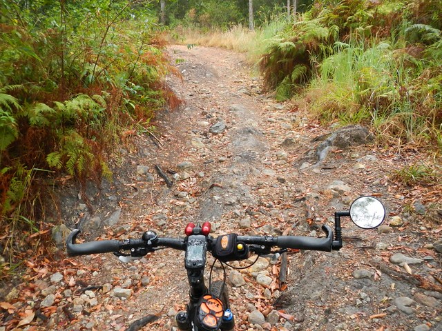
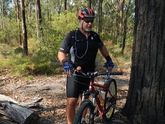
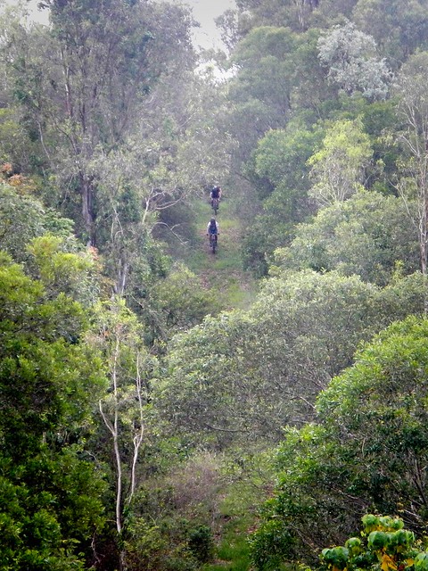
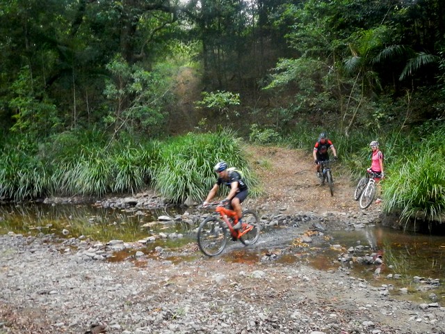
The thing that impressed me was how well the fat bikes performed on normal forest trails. They just soaked up the bumps over tree-roots and rocks. I rode as fast as I normally would on my dual suspension 29er. The ride was smooth, and I had heaps of grip from the big tyres. But the rolling resistance was low too. I didn’t feel like I had to fight against any sluggishness from the big tyres….

Floating over the Sand

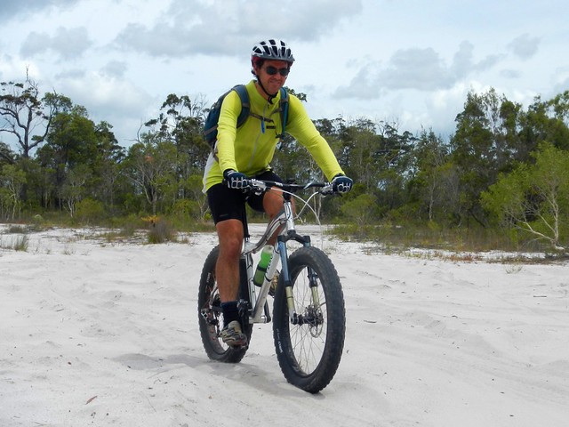
… but when we DID hit spots of sand, I just floated over the top instead of getting bogged down.

Wooroi

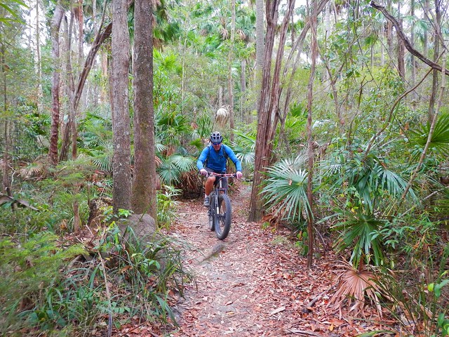
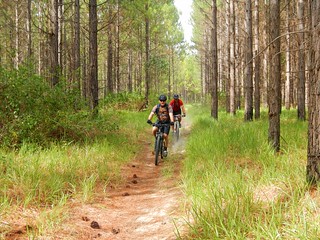
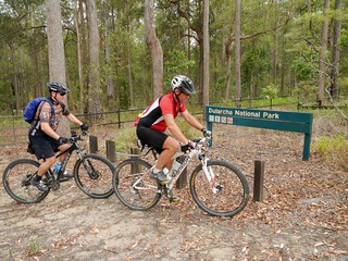
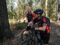
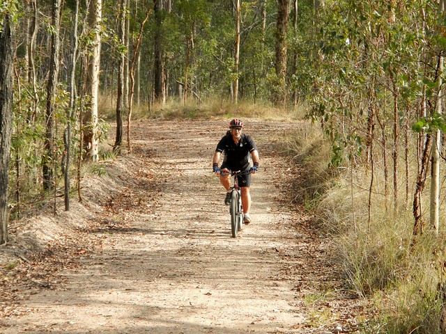
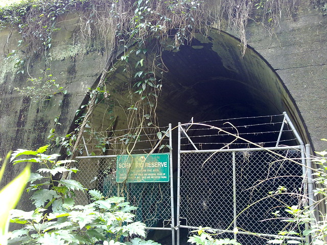
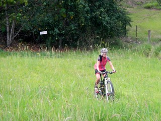
Eventually we made it to Wooroi Forest at Tewantin. Wooroi is a beautiful place. It’s hilly in spots with many of the tracks winding through the rainforest.


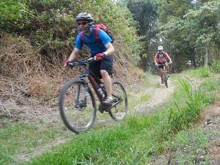
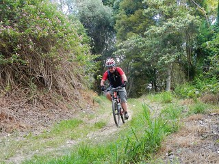
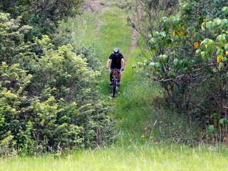
Murray took me around some of his favourite tracks, and we finished by zipping down a fun new downhill track called “Milk Maid”. The fat tyres on the bike soaked up the bumps while giving me lots of grip on the track. I didn’t miss my rear suspension at all.

Soft SandCrash

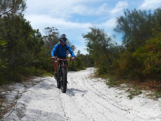
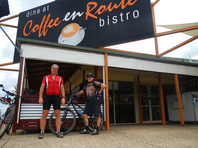
After a bite to eat at Tewantin, we followed a few bike tracks back through the outskirts of Noosa before hitting the sand dunes in the Lake Weyba section of Noosa National Park.


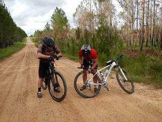
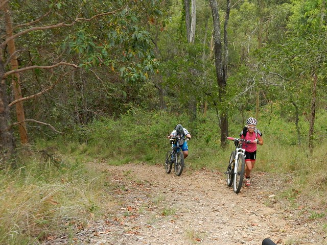
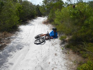
It was quite challenging riding on the loose sand, and took a lot of effort getting to the top of the hills. We both found it difficult to control the bikes in some sections until Murray let a bit more air out of the tyres.

On the beachOn the beach

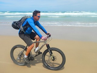
We left the national park at Marcus Beach, where we got back onto the beach and rode south back to Coolum.


All up, this ride was 61km and took a leisurely six and a half hours including breaks. We climbed a total of 588m, and I burned about 3,000 kcal. I’ll rate this one 7.5 out of 10 on the tough-o-meter.


Sunday, December 23, 2012

Coolum Epic

Read More

Tibrogargan

Rather than drive the car to our usual summer holiday spot at Coolum, I thought I’d ride the bike up from Lawnton. The route was just under 120km in length and included a fair bit of riding off-road through state forests and national parks. My friends Tony and Wayne rode with me for most of the way.


Beerburrum East State Forest

The first leg of the trip took us up to Caboolture on quiet roads, and then to Beerburrum East State Forest at the end of Pumicestone Road. It took us just over an hour, which was a lot quicker than I anticipated…

Flat TyreBroken Cleat


…which was just as well because Wayne got a flat tyre after running over a thumb-tack. Unfortunately it was in his non-tubeless tyre, so it went flat and stayed flat. But two spare tubes and 3 CO2 canisters later, we were on our way again – still ahead of schedule. We made good time even when equipment failure struck again and cleat fell off Darb’s shoe. Luckily, he didn’t lose any screws and was able to screw it back in quite easily.

Beerburrum East State ForestBeerburrum East State Forest


I like this forest because of the variety of different tracks. Plus it’s relatively flat which means you can easily cover long distances without much effort. We picked a few narrow tracks and rode off between the pine trees.

Park RangerTibrogargan


We met up with a friendly forest ranger along the way who just happened to be a mountain biker. He told us how much he liked 29er mountain bikes and tubeless tyres…. but he was preaching to the converted :)

Cafe en Route


Our first major stop was at the Wildhorse Mountain service station where we topped up on “bike fuel” and water.


Mellum CreekMellum Creek


To maximize the amount of off road riding, we kept riding northwards through the forest until were able to pass under the freeway at Mellum Creek. From there we entered the Beerwah section of the forest and headed North-west towards Landsborough.

Dullarcha National ParkDullarcha National Park


Dullarcha National Park lies just north of Landsborough. The main trail follows the railway line north through the rainforest.

Dullarcha National ParkDullarcha National Park


Part of the trail is actually on an old disused railway track, which passes through a tunnel. The fun thing about the tunnel is that it bends enough so you can’t see one end from the other. This means when you’re riding through it, it’s pitch black. If you don’t have lights you need to be careful :)


Kiels Mountain Overpass

After a tough climb between Mooloolah and Eudlo, Darb and Wayne left me to continue the final part of the trip at Palmwoods, near Nambour. They’d ridden to my place before the start, and had already covered about 100km. They caught the train back and I continued eastwards over Kiels Mountain. I’ve often seen the overpass while driving up the freeway to Coolum, but this was the first time I’d ridden over it.


Mount Coolum

At this stage of the ride, it was hard work grinding up the steep road over Kiels Mountain. Halfway through the roll down the other side, I caught sight of Mount Coolum in the distance which marked the end-point of the ride.


One Last Hill

In keeping with the “off-road” nature of the ride, I chose a dirt track which skirted around the western side of Mount Coolum via another national park. Unfortunately rain had made the large rocks on the track slippery, and the gradient was a bit much at this stage of the ride, so I took the “safe” option and pushed the bike up the last hill.


Mt Coolum National Park

All up, this ride was 115km. It took just under 8 hours including stops. Moving time was just under 6 hours. I burned about 5,200 kcal.


It was easier than I anticipated – mostly flat except for the Eudlo and Kiels Mountain sections. I’d definitely do this ride again, especially with great riding buddies like Darb and Wayne. Thanks guys :)


I’ll give this one 8 out of 10 on the tough-o-meter.


Sunday, December 16, 2012

Green Island

Read More

Green Island

Green Island is a small tropical island on the Great Barrier Reef, about 25km off the Queensland Coast near Cairns. Just over 500 metres across at its widest point, you can walk around it at a leisurely pace in about half and hour. It’s a popular tourist destination for visitors to Far North Queensland, so we decided to check it out while we were in the area.


Green Island National Park

The Guru-Gulu Gurandji Aboriginal people are the traditional owners of the island. Their name for it is “Wunyami”, which means “Place of the hole in the nose”. Their story tells of a little turtle who swam to Green Island to drink some freshwater from a creek. Because there were many larger turtles trying to get a drink, he decided to drink from a crab hole filled with water. He didn’t realize it, but the little turtle woke the crab that lived in the hole. The crab pinched the turtle’s nose making holes in it. Eventually the little turtle grew into a big strong fellow. The other turtles noticed this. Because they wanted to be big and strong as well, they asked the spirits to give them all holes in their noses. When the Gurandji people heard of this, they paddled their canoes to Green Island and performed the first nose-piercing ceremony which then became part of the initiation ceremony on Green Island.


Tropical Beach

Driftwood

We had a relaxing time wondering around the island, following the boardwalks through the forest, and then walking along the sandy beaches.


Snorkelling at Green Island

We also did the touristy thing, and tried snorkelling through the coral.


Glass-Bottomed BoatSemi-sub

An easy way to see the reef without getting wet is either in the semi-submersible submarine, or the glass-bottomed boat.

Semi-subReef Fish

I enjoyed the submarine – it let us get up really close to the fish.

Feeding the Fish

Fish-watching

The boat operator fed the fish while we were out, which excited the fish and the seagulls :)

LizzieSea Shell

Green Island is a beautiful place. I’m really glad we took the time to explore it!


Sunday, December 09, 2012

House Mountain

Read More

Rest Stop

My friend, Neil B, regularly organizes group social rides on Saturday afternoons. This week, he wanted to visit House Mountain, near Samford. I hadn’t ever ridden there before, so I jumped at the chance to explore some new trails with a large friendly group of people.


Riding BuddiesDaveCranky BastardRiding buddiesRiding buddiesRiding buddiesRiding buddies


For this ride, about 14 of us met at the “Jurassic” car park at Bunyaville, and started out towards Samford State Forest, a couple of kilometres to the South West…

OCG

Tim


Samford State Forest (Most of us call it “Ironbark” for short) has a lot more hills than Bunyaville. Today we slowly made our way to the high point up the “Three Sisters” track. I think it’s called this because of the three “humps” you have to grind up on your way to the top. They’re not difficult, but as with most climbs, they slow you down a bit, and tend to spread out a group of riders.


DrewSamford Railtrail

We then enjoyed a quick (80 km/h) roll down Burns Road on our way to the rail trail north of Samford. This part of railway line is popular because of the old tunnel at the end, affectionately known as “The Bat Cave“. The trail is used by horse riders, joggers, walkers and mountain bikers, and is a pleasant way to head north from Samford without having to go on busy Mount Samson road.

The Bat Cave

It’s always fascinating to peer into the “cave” through the fence, provided you don’t mind bats, or snakes :)

Hike a Bike

But the real challenge of the ride is House Mountain, just behind the Bat Cave. It has some very steep climbs – some of which we had to push the bikes up….

The Big Drop

ZepSquizza

…but it also has some very steep descents, which are a lot of fun to ride down, before shooting out into a green paddock at the bottom.

River Crossing

We then followed some pony trails along (and across) the South Pine River back to Samford, before retracing our tracks back to Bunyaville. At some times of the year, this river crossing is impassable. Thankfully we haven’t had much rain recently, so it was easy to cross.


Because I wanted a longer ride, I started from my place, which stretched it out to about 70km over 5 and a half hours (including breaks), with about 1,300m of ascent and just over 4,000 kcal. The more sensible route (from Bunyaville) is about 30km in length with about 750m of ascent, and takes about 3 hours including breaks. It rates about 8 out of 10 on the tough-o-meter.