Please note: you can find a more up to date version of this blog at http://blog.neilennis.com

Sunday, December 28, 2014

Waterproof

Read More

Misty Hills

When the alarm went off at 5:00 AM, I peeked through the curtains and discovered it was raining heavily.


“Bike or bed?” I sleepily asked myself.


Surprisingly quickly, I decided to “just show up” and see what happened.


Mount Samson Road

Greensill LaneSuzanne


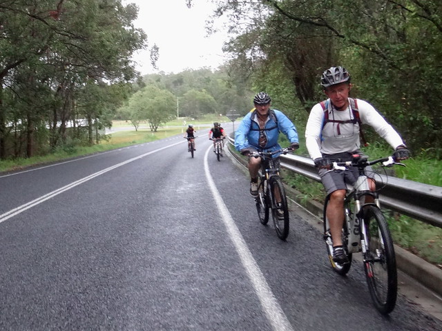
While I drove out to Kobble Creek, the rain eased to a light drizzle, then stopped.


My riding buddies had decided to “show up” too, so we headed off together into the hills under grey skies.


Our plan was to check out some un-explored trails in the hills around Kobble Creek, then follow a loop along the western shoreline of Lake Samsonvale.


Dirt Track


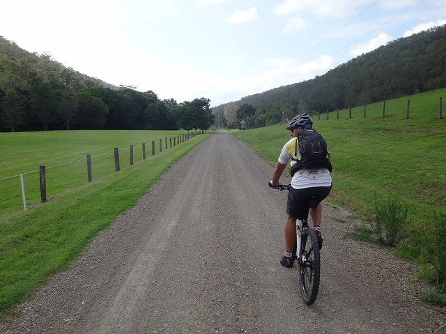
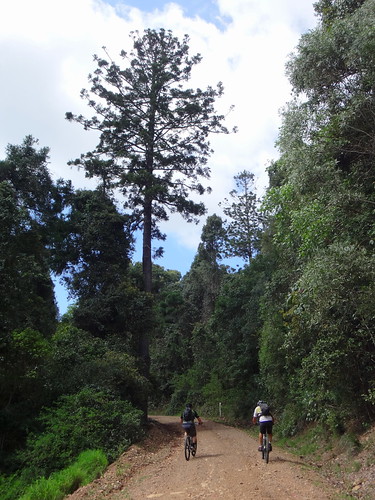
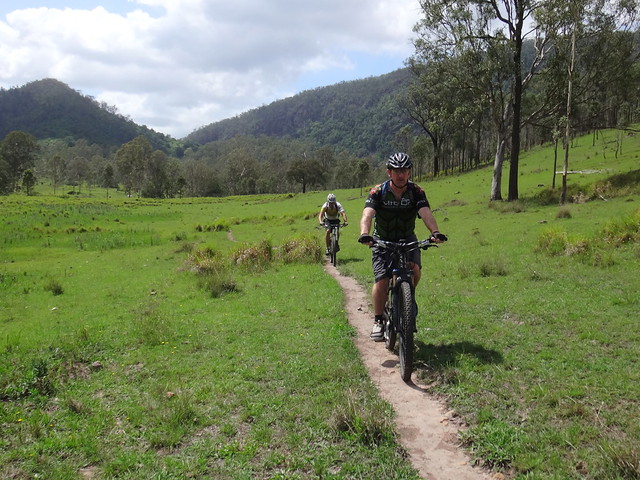
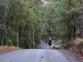
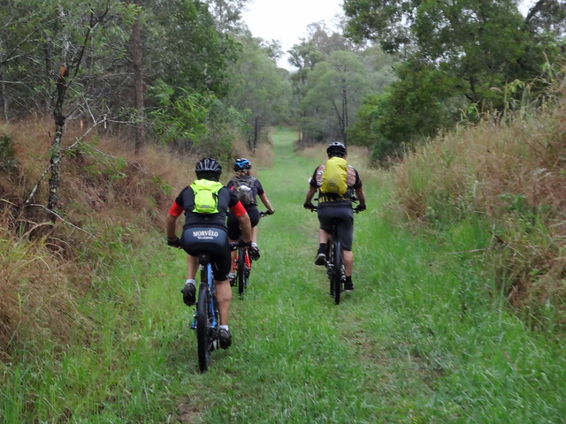
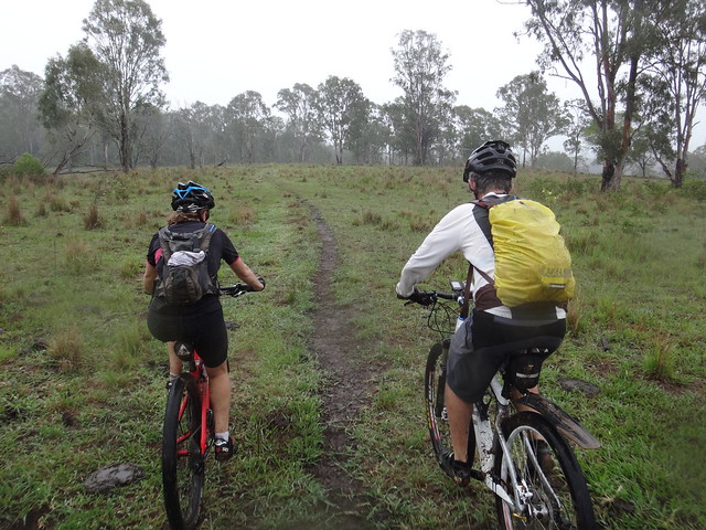
We left the paved road after about a kilometre and followed some fire breaks through bushland on the slopes of one of the hills.


Steep Climb


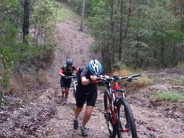
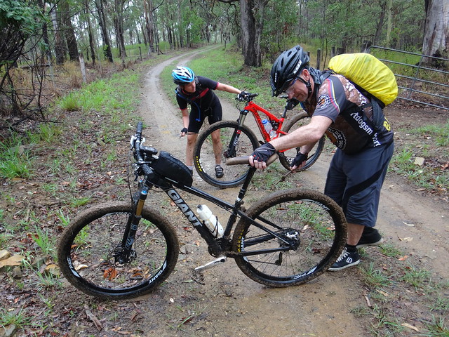
There were few flat sections. Steep hike-a-bike climbs usually followed slippery descents.


Eric and Darb


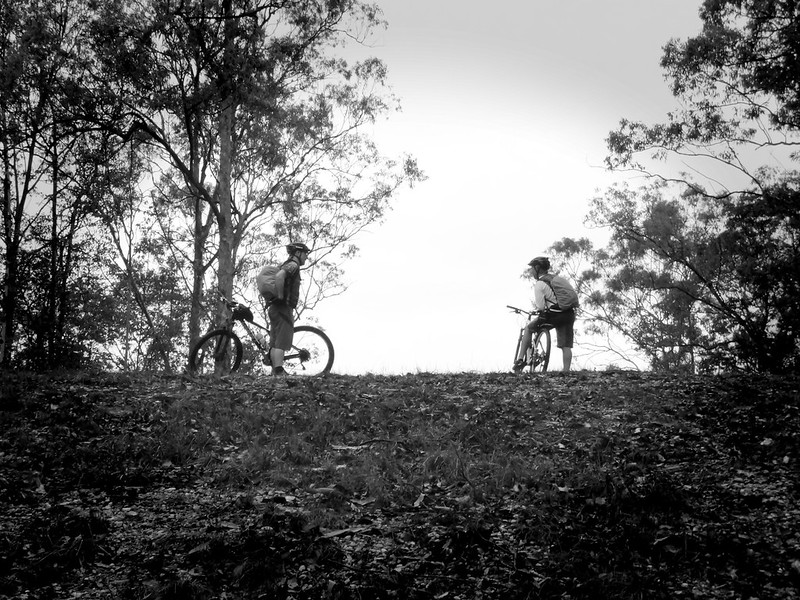
Eric and Darb waited at the top for us to catch up, then we repeated the process several times.


Slippery Downhill


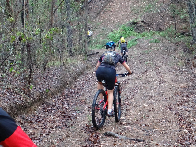
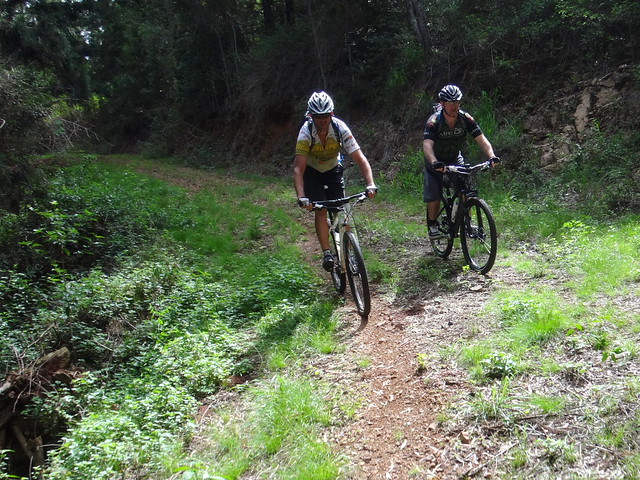
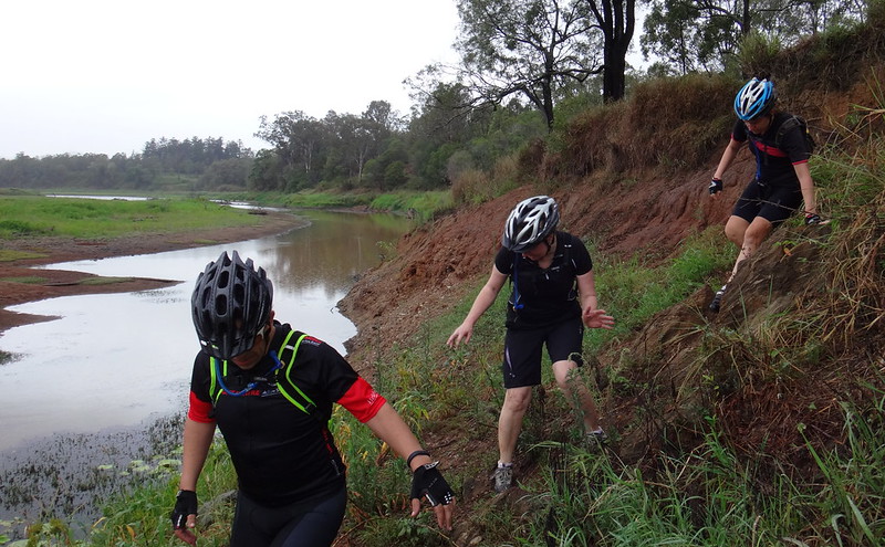
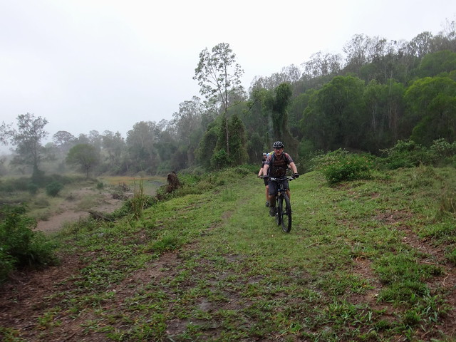
Rear tyres fish-tailed behind us as we tried to control the precarious ride down.


Steep Hill


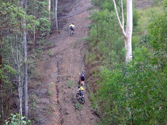
This was followed by impossibly steep uphill trudges. Although Eric impressively nailed a lot of them.


Suzanne


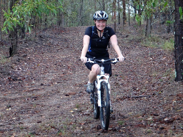
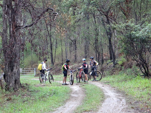
Suzanne hasn’t been on the bike for over a year and handled this tough section remarkably well.


Taking a Break


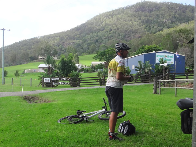
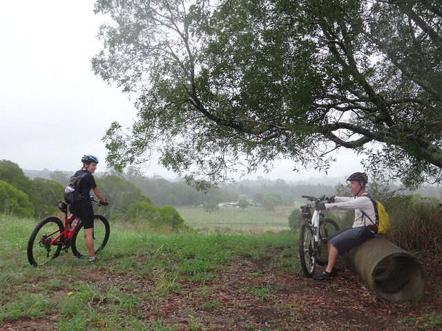
Once we emerged from the bushland, we took a quick break.


Samsonvale Cemetery


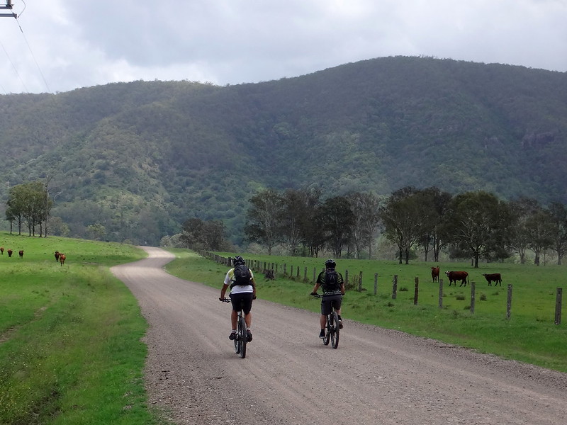
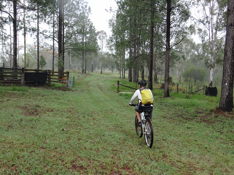
From there we rolled down Golds Scrub Lane to the lake side to have a look at the cemetery.


The village of Samsonvale used to be located here. It was inundated when the North Pine Dam was built in the 1970’s. All that now remains of the old town is Samsonvale Cemetery overlooking the water that covers memories of farm houses, shops, schools and post offices.


Golds Scrub


We skirted around “Golds Scrub” – a small patch of remnant hoop pine forest near the cemetery. The North and South Pine Rivers are named after vast hoop pine forests that thickly covered the land between those rivers prior to European settlement. This small patch of forest is a memory of how those majestic forests would have apeared.


Samsonvale Rail Trail


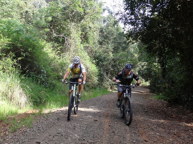
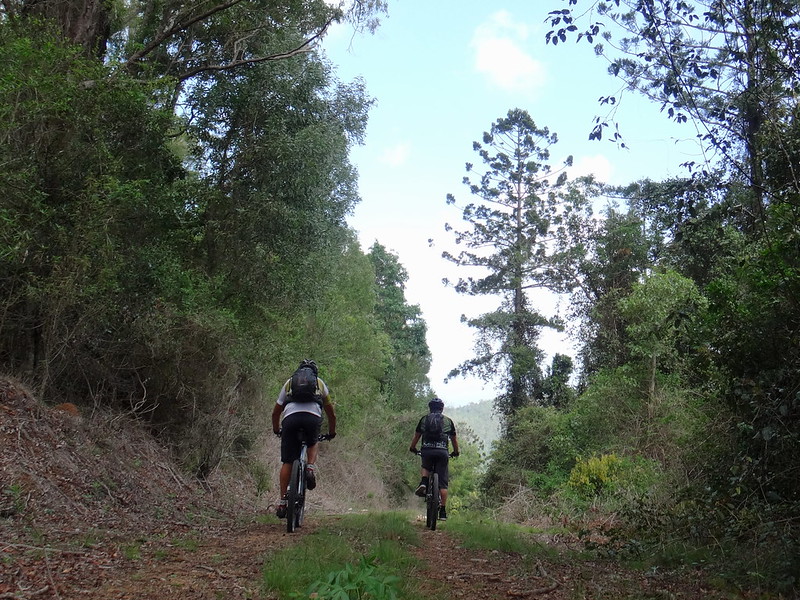
One of the other remnants around here is a disused railway line. We followed a short section of the old “Ferny Grove – Dayboro” line back towards Kobble Creek.


Handing Down the Bikes


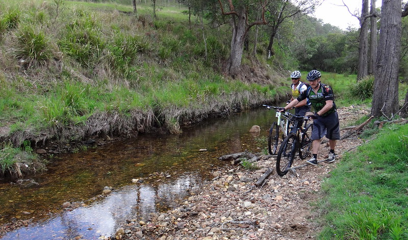
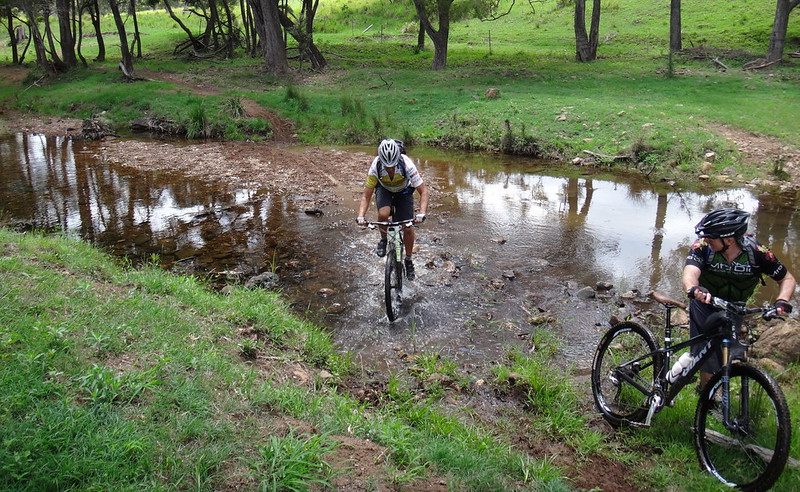
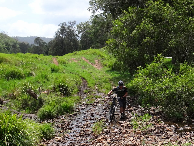
Many creeks have run dry during recent months with little or no rain. We decided to take advantage of this and scramble across Kobble Creek. Although there wasn’t much water, we still had to clamber down steep banks to get to the creek bed.


Climbing Down


After passing all the bikes down we slid down the muddy banks…


Crossing Kobble Creek

Crossing Kobble Creek


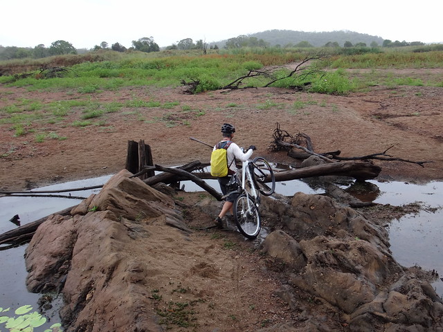
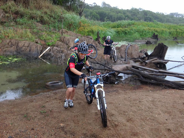
…then rock-hopped over a narrow section of the creek.


Riding a Dry Creek Bed


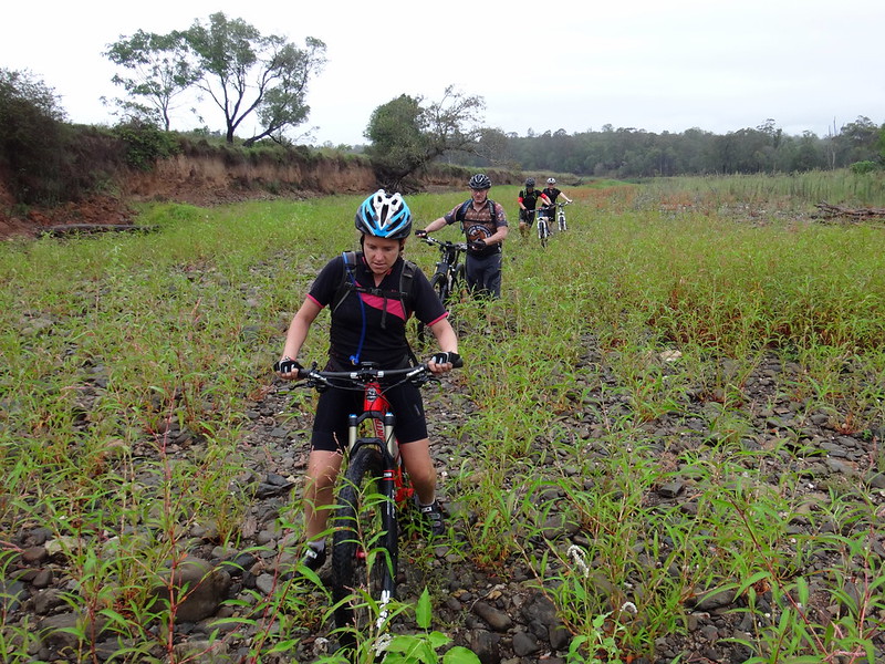
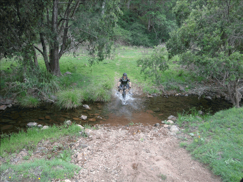
It became obvious how “Kobble Creek” got its name as we bumped over the dry rocky creek bed for a couple of hundred metres. Like a rough medieval kobbled street the rocks jarred our bones, making it difficult to ride.


Becca by the Lake


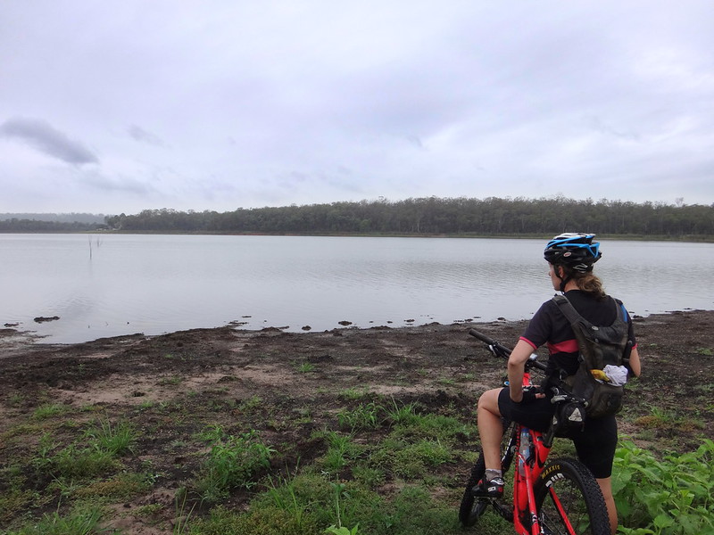
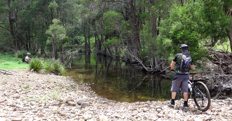
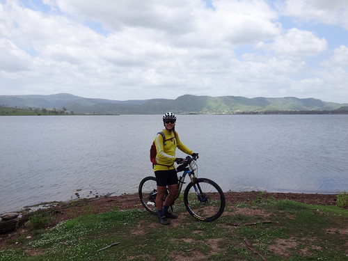
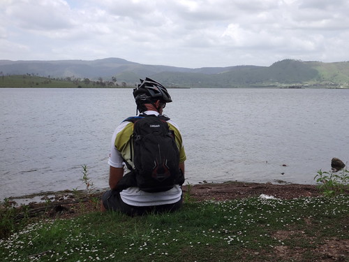
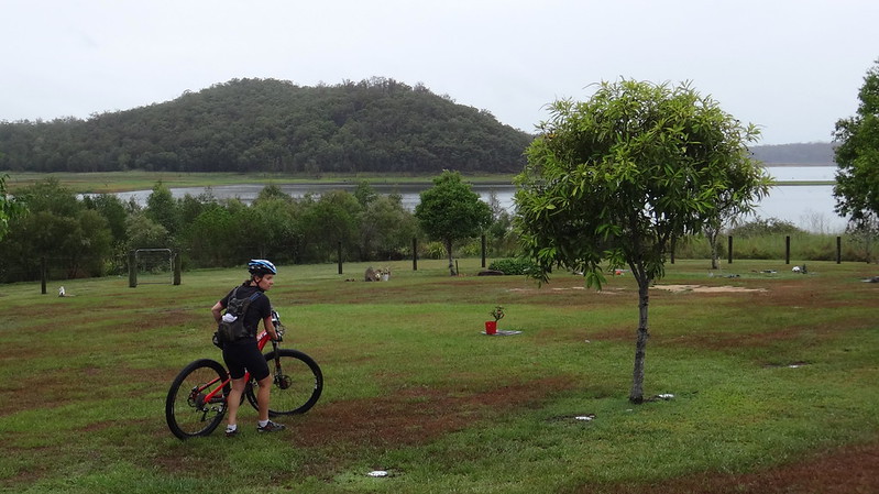
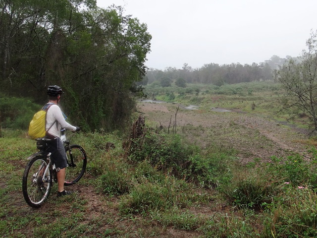
When we reached the other side, we followed a familiar trail down to the shore line. We’ve swum here in previous years, and collected mangoes from a nearby tree. Today the mangoes weren’t yet ripe, and it was too cool and muddy to swim comfortably. But the view was still enjoyable.


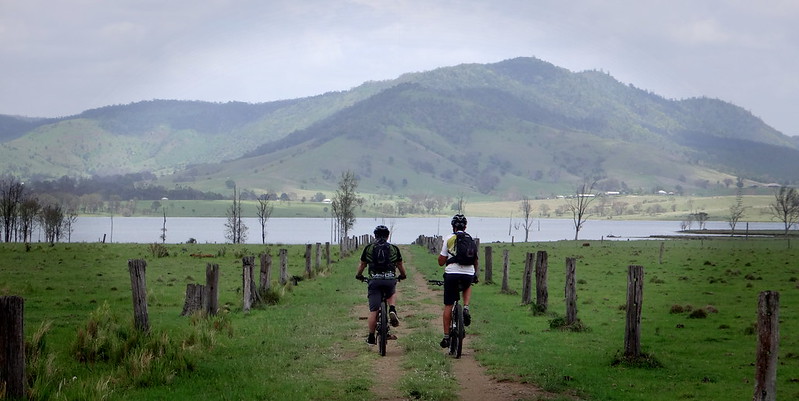
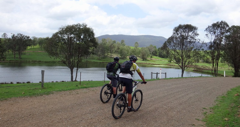
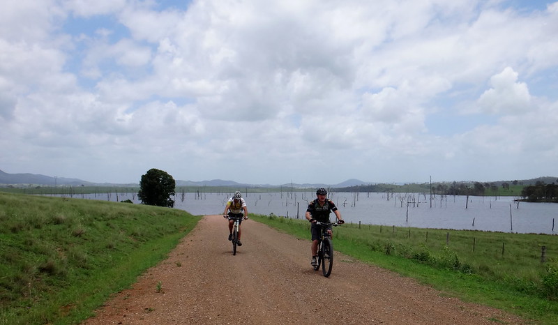
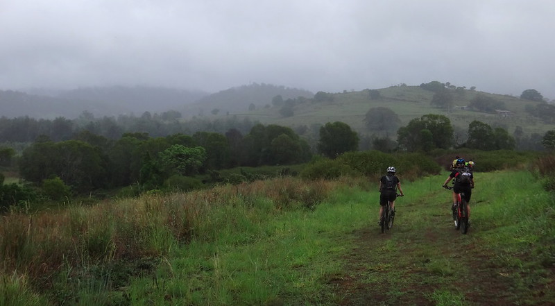
From there we followed the shoreline for several kilometres.


Suzanne by the Pond

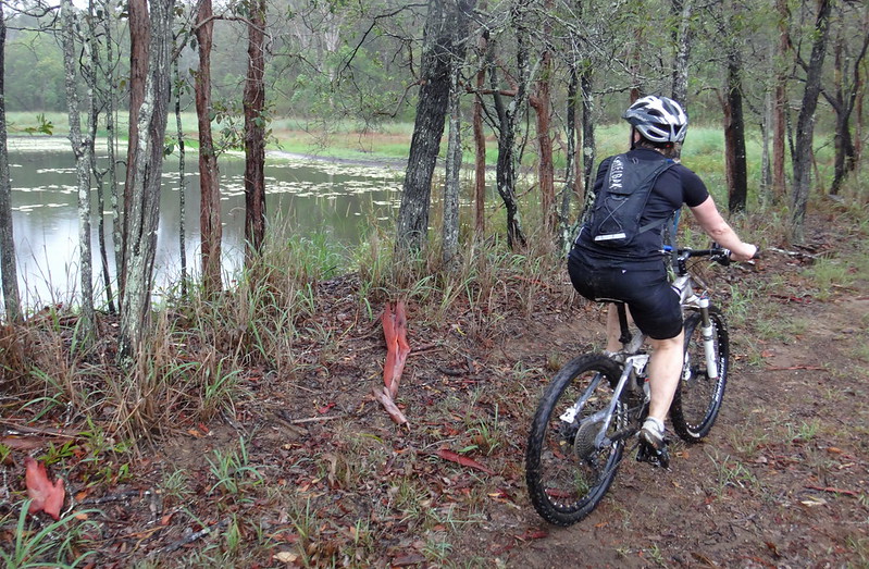
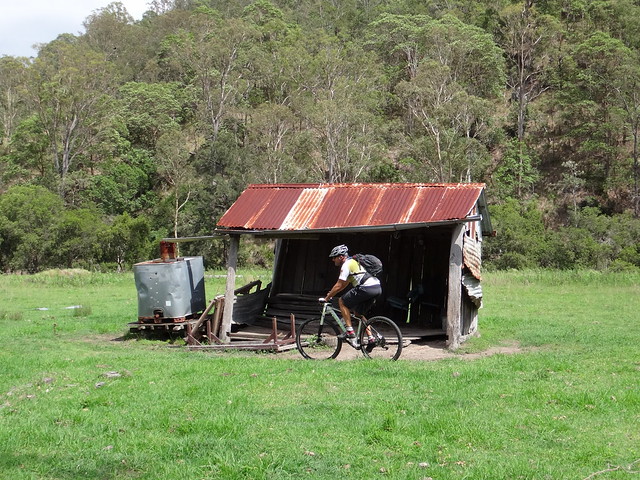
This old irrigation dam is probably left-over from the days before the dam was built.


Eric by the Lake


The rain started falling gently as we followed numerous inlets beside the water. Although the ground was damp, it was mostly covered with grass which helpd us avoid much of the mud.


Cleaning off Mud


The final climb up to Whiteside Road was very boggy. Mud can add a couple of kilograms to the weight of a bike and make it difficult to control, so we took time out to scrape it from the tyres…


Taking a Break


… and to have another quick rest.


Eric


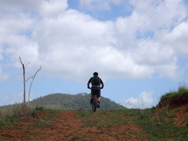
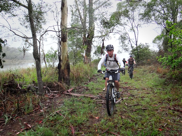
The final section of our adventure was through bushland north of Whiteside Road towards the North Pine River.


Muddy Track


Rain was starting to fall heavily now, but we were warm from the exertion, and didn’t feel any need to cover up.


Riders in the Rain


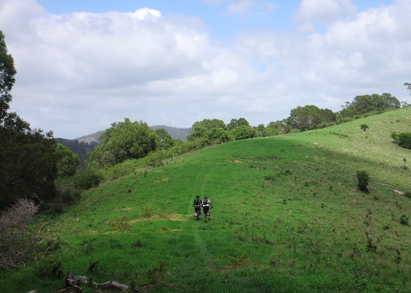
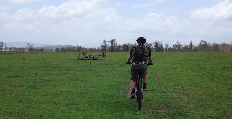
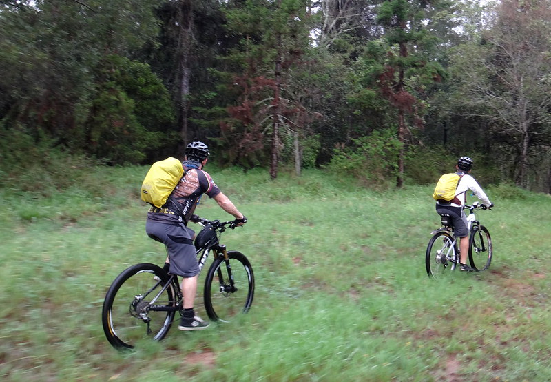
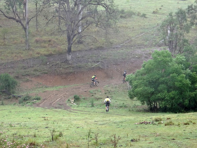
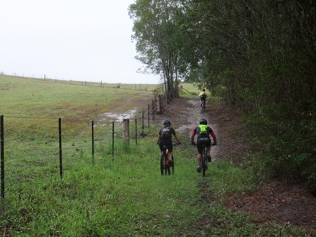
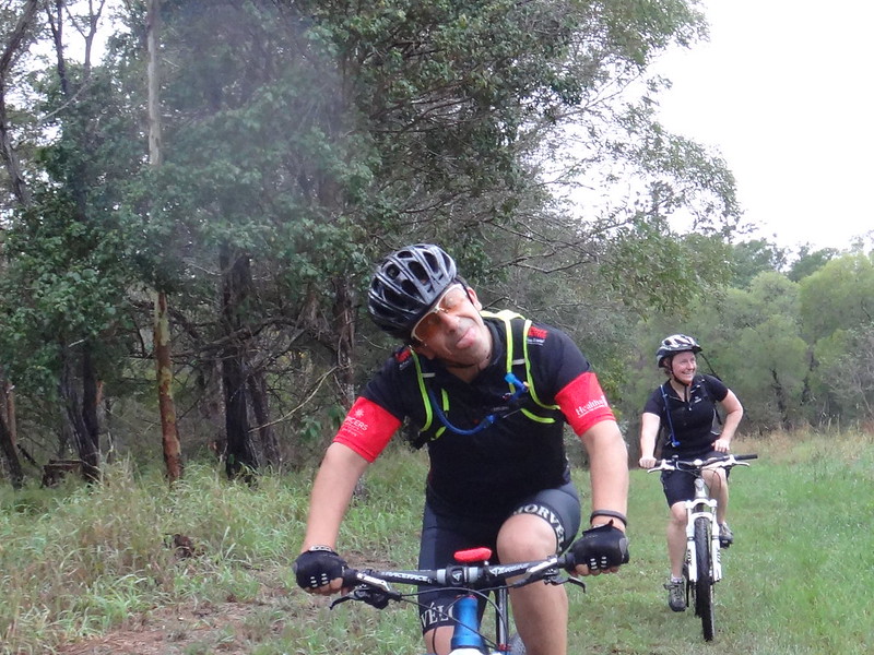
We rode over undulating fields following faint tyre tracks…


Cow Track

… and cattle tracks.


Dry River

Dry River


When we eventually reached the North Pine River I was surprised to discover that it too had run dry.


Fence Line


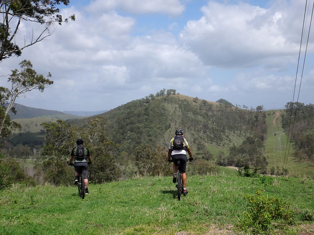
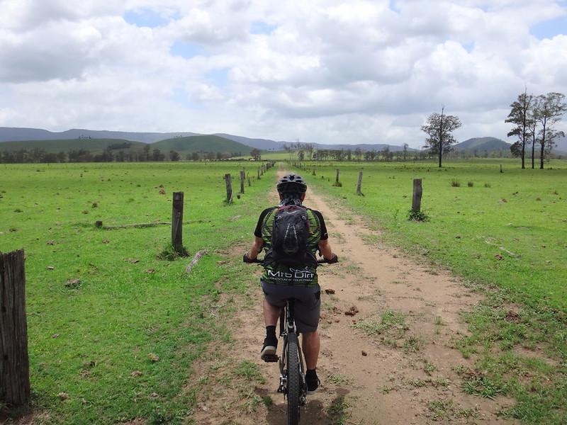
The track adjacent to the farm fences was in perfect condition.


Resting on a Pipe


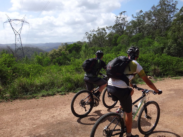
We stopped on the hilltops to allow everyone to catch up.


Misty Hills


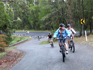
We eventually reached Mount Samson Road near its bridge over the North Pine River. From there we had an easy 3km roll along the bitumen back to our starting point at Kobble Creek.


Tom


We rode a total of about 30km in about 4 hours including stops. I burned 1,800 kcal, and we climbed almost 500 metres in vertical ascent.


I’ll rate this ride 6.5 out of 10 on the tough-o-meter. In dry weather it would be easier – maybe 6 out of 10.


Thanks to my waterproof friends: Becca, Tom, Suzanne, Eric and Darb for a fun ride. Well done for “showing up” despite the wet weather.


Sunday, December 21, 2014

Westvale

Read More

Darb and Paul at Somerset

Today’s adventure took Darb, Paul and me over the mountains to Westvale – a small farming community nestled between Somerset Dam and the D’Aguilar Range.


Preparation


We parked the car at Neurum Creek Bush Retreat, near Woodford, before slowly making our way up the hill into the National Park.


Rasmussen Road


Rasmussen Road started out as a pleasant flat road heading up a valley…


Lovedays Road


… but slowly grew steeper as we pushed up the hill.


Lovedays RoadDescent to Westvale Road


It took us an hour of hard work to reach the top, where we enjoyed a brief respite in the cool breeze before dropping down the other side.


Descent to Westvale Road

We pointed the bikes westwards towards Lake Somerset and followed the steep trail down through rugged plantation forests. The lonely track had rarely seen any activity except for an occasional forestry worker, so we took it easy as we rolled over the loose gravel.


Westvale

We emerged from the forest to open rolling green hills, and followed faint tyre tracks through the lush grass.


Westvale

Westvale


Tyre tracks gave way to bovine single tracks as they snaked through paddocks towards the creek. Cattle unerringly pick the easiest way over rough terrain. Over the years their hooves wear smooth trails as they repeatedly follow the same path. Those smooth trails are perfect for riding on a bike – provided you remember to dodge the cow pats!


Westvale


We decided against staying the night at the “Westvale Hilton”.


Westvale


After following cattle tracks for about a kilometre we reached Oaky Creek, flowing with clear fresh water after recent rain.


Darb Keeps His Feet Dry


We crossed the creek many times as we followed an old road reserve towards the lake.


Darb showed us a novel way to keep his feet dry.


Westvale


Not to be outdone, Paul showed us an even better way.


Westvale


Some of the “rock grdens” were too rough and we just pushed the bikes over the rough boulders.


Westvale

I was amazed at how tough modern mountain bikes are. We push them quite hard over rugged terrain, and they never let us down.


Westvale

We stopped for a short break and a bite to eat on the banks of the creek.


Lake Somerset Shoreline

We reached the shoreline of Lake Somerset around lunch time – what a perfect spot for lunch.


Somerset Dam was built over a twenty year period between about 1930 and 1950. Before the dam, the Stanley River flowed through this valley towards its junction with the Brisbane River about twenty kilometres downstream.


Lake Somerset Shoreline


Not far from the busy town of Kilcoy, “Westvale” was a thriving timber and cattle district established on the banks of the Stanley River between 1887 and 1910. It had its own school and village.


The indigenous owners of the area are the Jinibara Aboriginal People. One of the most famous Jinibara men was Gaiarbau (also known as “Willie Mackenzie”) of the Darwabada clan. His intimate knowledge of the customs, language and stories of the Jinibara people was recorded in the 1950’s by Dr L.P. Winterbotham – an anthropologist from the University of Queensland. This information proved critical in the native title court case which recognized the claim of the Jinibara people to the surrounding country.


Lake Somerset ShorelineLake Somerset Shoreline


A cool breeze wafted over the water as we relaxed on the shoreline. We could hear the distant hum of speed boats and mused smugly about the difference in fuel consumption rates between outboard motors and mountain bikes :)


Lake Somerset Shoreline


The final leg of our ride followed the shoreline of the lake back towards Neurum Creek.


Lake Somerset Shoreline


Around here the lake seems to poke long fingers into the land, forcing the dirt road to meander as it follows the shore.


Lake Somerset Shoreline


Although the terrain was relatively flat, we still had to contend with a stiff headwind as we rode eastwards.


Drafting


When we hit the paved road, I followed Darb’s rear wheel closely to avoid the headwind. Drafting behind a stronger rider is a great help when battling the wind – provided the draftee doesn’t mind :)


Rasmussen Rd, Neurum Creek


We rolled back into Neurum Creek Bush Retreat after about five hours of riding, including breaks.


We had ridden about 50 kilometres with almost 900 metres of vertical ascent.


I burned about 2,200 kcal.


This was a relatively easy and pleasant ride despite the warm weather. There was only one large climb at the start. The major challenge was navigational – if you plan to head westwards from the D’Aguilar Range a GPS is essential because of the complex and potentially confusing network of trails and tracks.


I’ll rate this ride 7 out of 10 on the tough-o-meter. 6.5 out of 10 in cool weather.


Descent to Westvale Road


Thanks Darb and Paul for another great ride!