This unusual ride took us from Running Creek near Rathdowney, over the Border Ranges to the Richmond River, and then back over the range to our starting point.
I have wanted to do this course for a long time because it closes a large gap in my Ride Network between Rathdowney and the Border Ranges. This “missing link” now completes an unbroken line of riding routes which stretches from Kyogle in Northern NSW all the way up to Rainbow Beach on the Fraser Coast and out as far as the Bunya Mountains.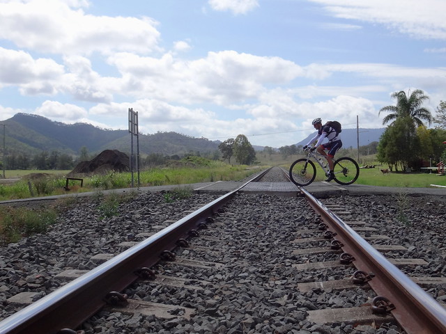
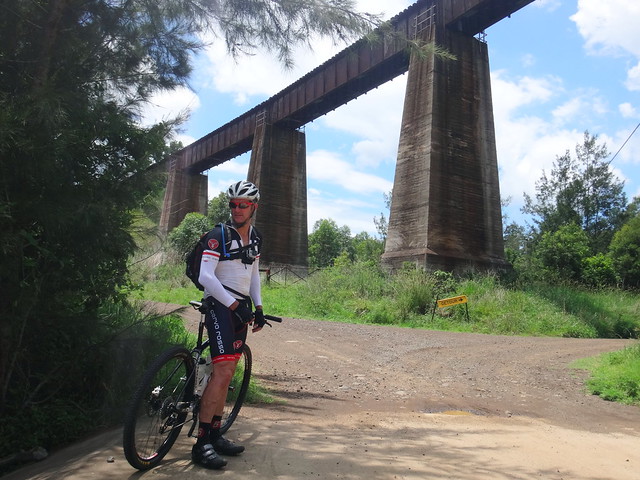
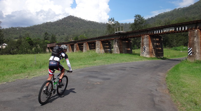
We parked the car and started our ride just outside of Rathdowney next to the interstate Railway Line.
Although the forecast for the day suggested rain, we headed southwards towards the towering Border Ranges under sunny skies.

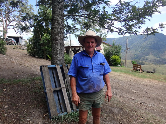
A few kilometres down the road we stopped at Glenapp where an old primary school once stood. A friendly farmer pulled up on his quad bike to say “G’day” and tell us about the ruins of an old saw mill in one of his paddocks down the road.
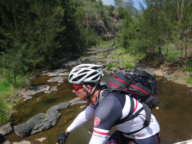
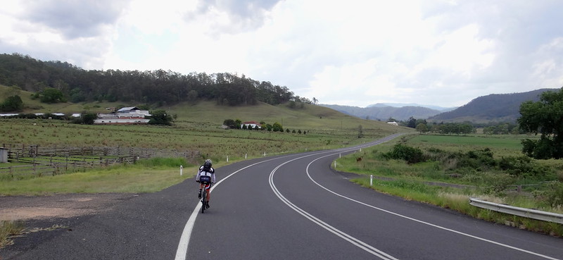
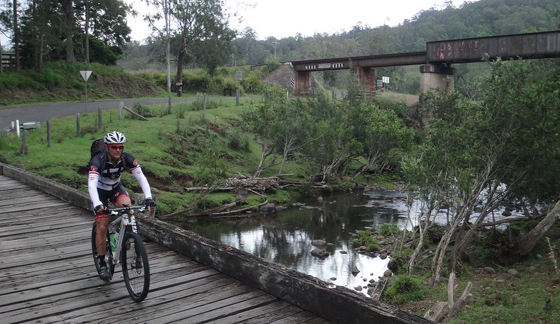
As we followed the narrow road up the valley it crossed “Running Creek” many times.

The hills slowly grew steeper as we approached the range.
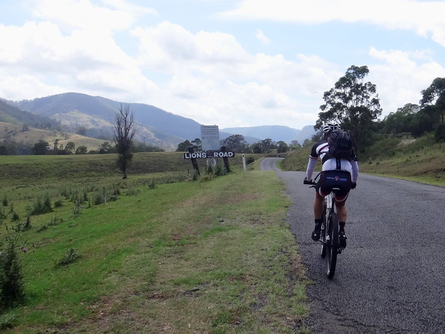
“The Lions Road” is a privately funded tourist road built by the Lions Club of Kyogle in 1971 as a scenic route from Running Creek to Gradys Creek over the Range via Richmond Gap.
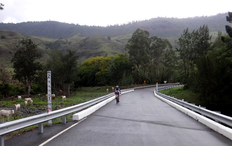
At Richmond Gap we took a short well-earned break at the Border Gate.
Wayne Pope has one of the most scenic views in the area from his front door. Wayne works for the Darling Downs – Moreton Rabbit Board and is responsible for maintaining the “Rabbit Proof Fence” which runs along the state border adjacent to his property.
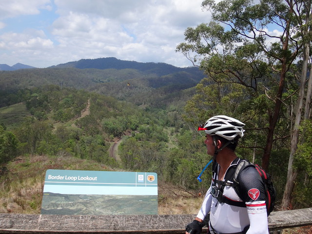
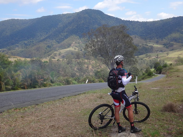
Before enjoying the long descent down the other side of the range, we stopped at the Border Loop Lookout, overlooking the looping railway line which spirals up the range before disappearing into a tunnel.
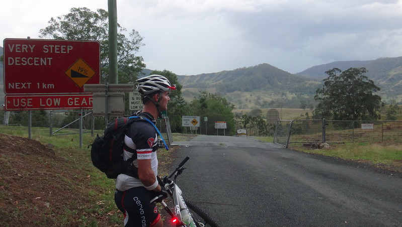
The roll down the other side was enjoyable, but was over in what seemed like a few minutes as we rocketed down the range. I was mindful of the fact that later in the day we’d have to grind back up this big hill.
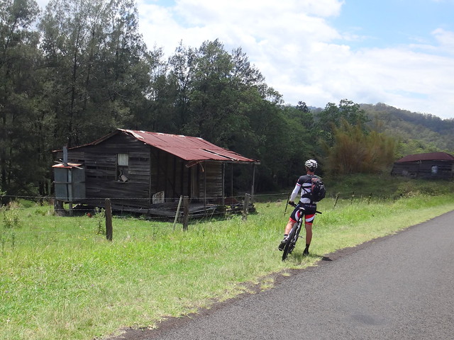
“Gee that was fun”, I said to Jason when we stopped briefly at the bottom of the hill at Cougal to admire some dilapidated old farm sheds.
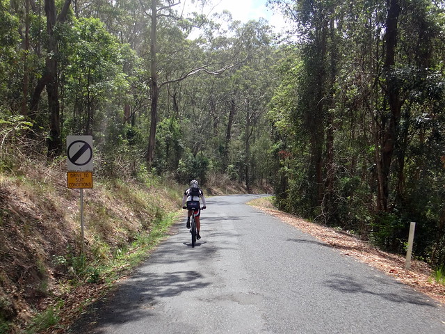
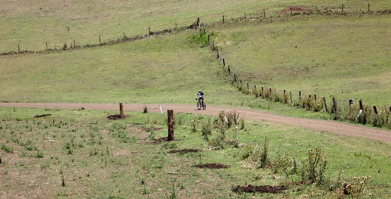
Rather than follow the paved road out of the valley, we decided to take a detour along an old section of Gradys Creek Road following the creek and the railway line.
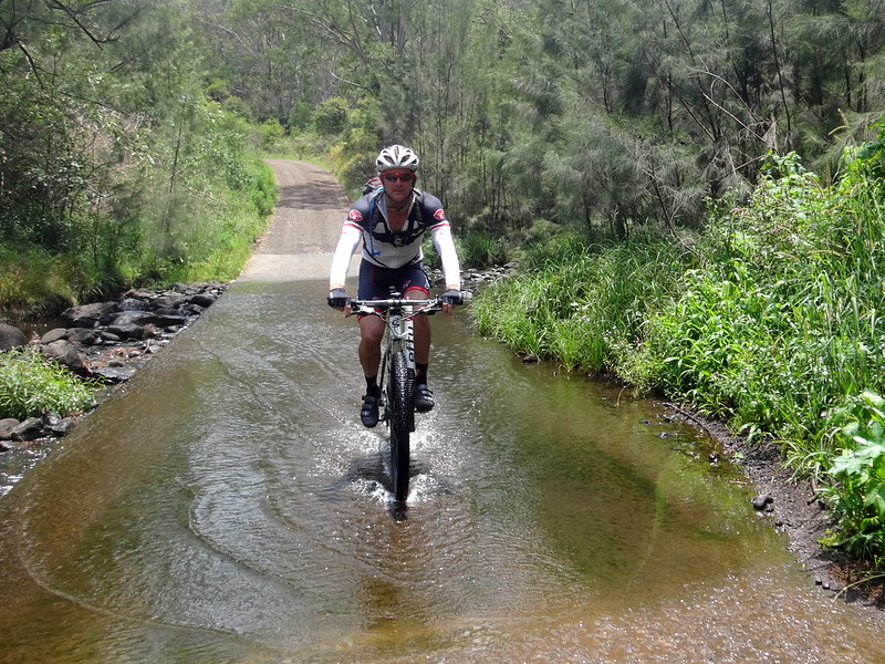
This delightful track meanders along the creek, crossing it several times over concrete causeways.
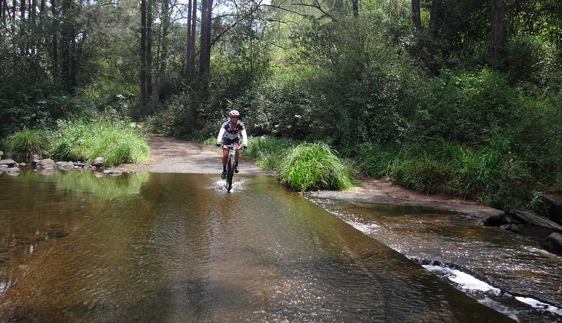
At one or two spots we made a mental note of where we might stop for a swim on the way back, or on a future ride.
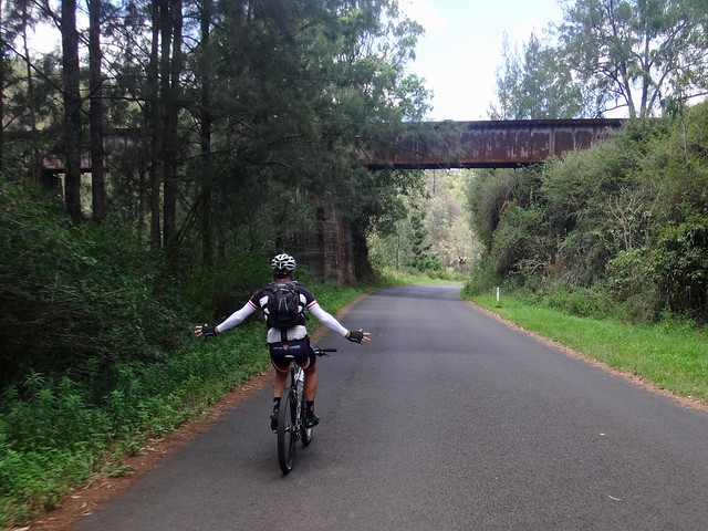
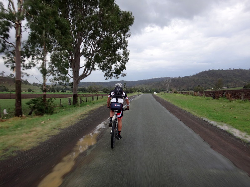
Back on the bitumen, we followed the road as it twisted out of the valley and under the railway line several times.
(Photo: Jason Reed)
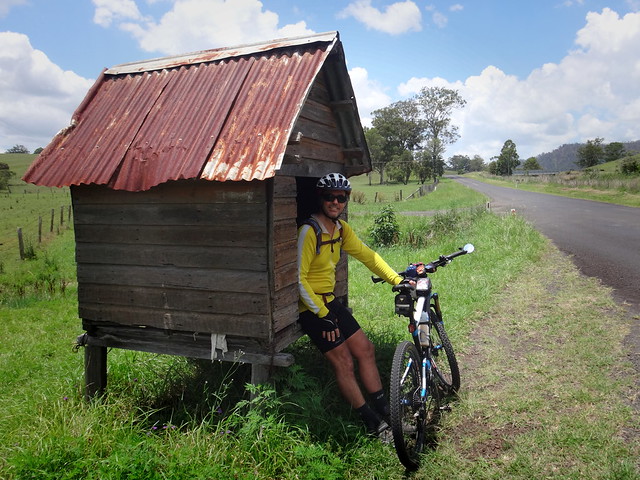
Some of the accommodation near the road was a little cramped ![]()
We left the paved road again as we followed Simes Road towards the National Park.
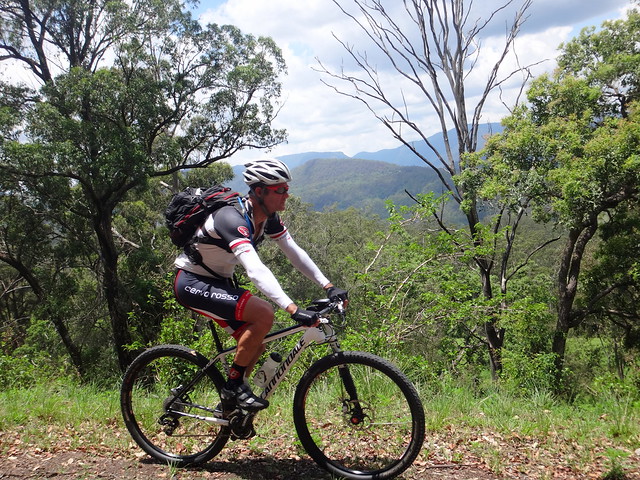
I’ve driven up Simes Road a few times in a car, but I didn’t appreciate how steep it was until we had to slowly ride our bikes up. The temperatures were climbing into the mid 30’s. Jason and I were both feeling the heat.
Like all tough climbs, our hard work eventually came to an end as we enjoyed coasting down the other side with the cool breeze in our faces and the majestic slopes of the range before us.


Lynchs Creek School closed a long time ago, but it is still beautifully maintained by the thoughtful local community as a camp site and picnic area. Right on the banks of the creek, with shelter, toilets and cooking facilities, it is a perfect spot to set up camp for the night.
The building was unlocked, so I showed Jason some of my teaching skills. I’m sure he was glad that I never got to be a teacher.
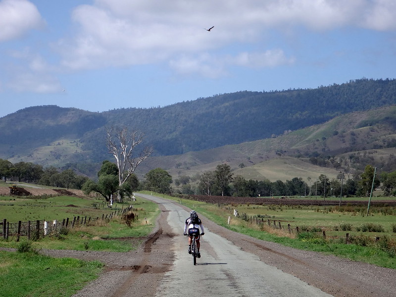
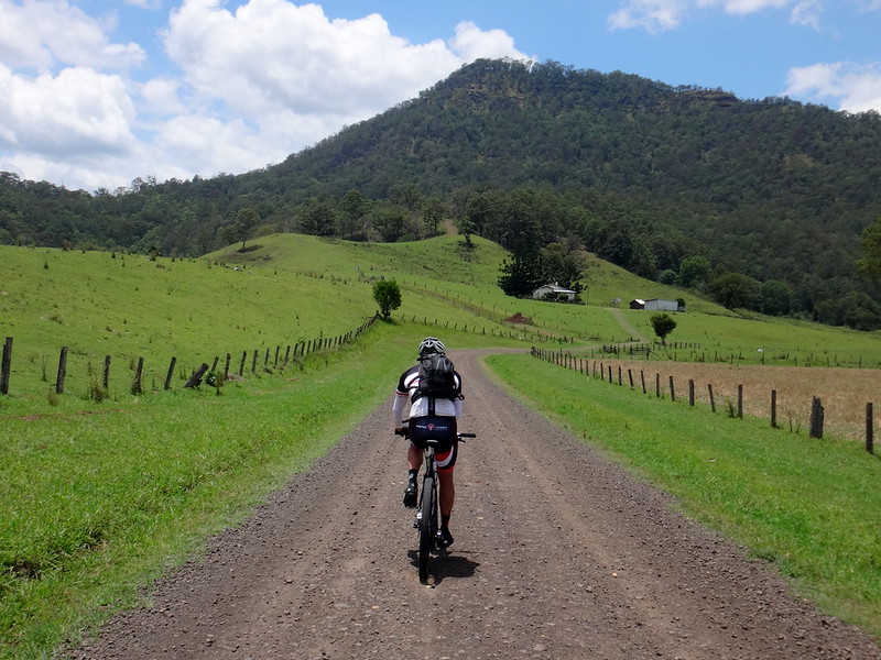
We followed the road south from the school through farm fields and rolling hills towards the Richmond River.

The traditional owners of The Richmond River Valley are the Bundjalung Aboriginal People.
They have a legend that the Wiangaree Lagoon, on the river near this spot, is inhabited by the spirits of ancient warriors. They say that it is haunted by the spirit of one woman who was killed by an overly jealous husband, and that the sounds of her struggles can be heard in the splashing of the water and the cries of the night birds.

(Photo: Jason Reed)
We left this pretty river behind and made our way into Wiangaree for lunch.
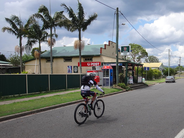
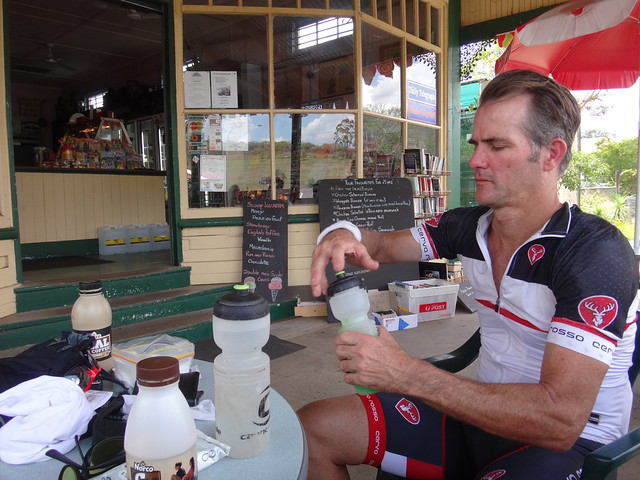
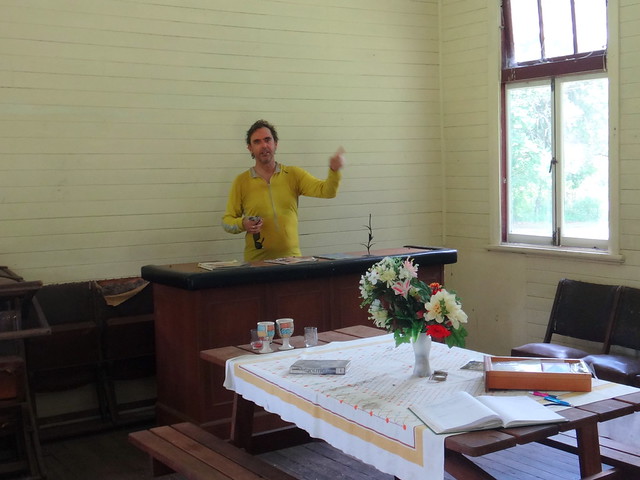
The Wiangaree General Store and Post Office has everything, including cold beer. Store owner, Trish Wilsom, gave us a huge lunch. Jason and I were impressed by the friendliness of the locals who all stopped to say “G’day”, enquiring about our ride, and wishing us well for the return trip.
I asked local farmer, Andrew Adcock if he thought we’d get a storm this afternoon.
“Without a doubt” he replied.
When it comes to weather, you can’t get a better forecaster than the bloke who works the land, so Jason and I decided to take the quick route back, and hope to avoid the approaching storm.
We followed “The Summerland Way” out-of-town as we headed home. Although it’s a major road, it has wide shoulders on either side, which gave us a comfortable buffer from traffic.
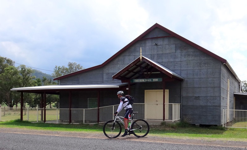
“The Risk” is one of the unusually named places in the area. We stopped by the Risk Hall shortly after turning back on to the Lions Road, and admired its galvanised iron walls.
“That would get hot in summer”, Jason Said.
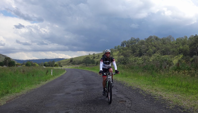
Farmer Adcock’s predictions came true as billowing storm clouds gathered behind us, chasing us up the road.
The temperature started dropping, and the wind picked up. Distant thunder rumbled behind us. Despite the deteriorating weather, the coolness was refreshing.
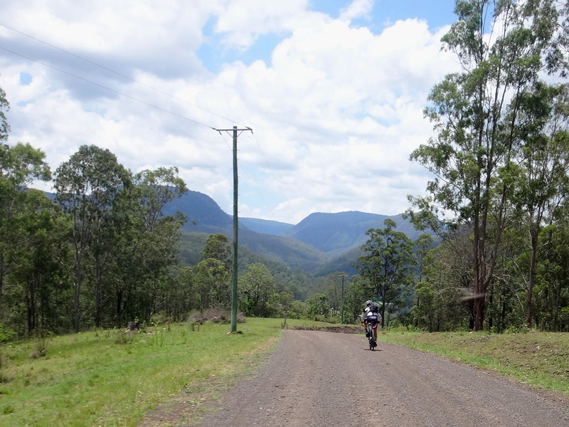
The earlier section of our ride seemed to play out in reverse as we rolled under railway bridges, and over creeks on our way back to the start.

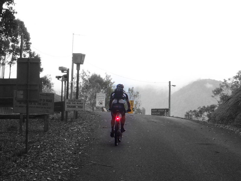
Halfway up the hill the rain started falling gently as I made out a tunnel opening on the distant railway line. It’s funny how much easier it is to notice interesting things while riding a bike – things you’d miss while driving a car.
A small amount of gentle rain was all we got.
There were no storms.
As a precaution against the dim light, Jason and I both switched on our lights to make sure we were visible on the road.
The cool breeze and slight dampness felt perfect as we crested the range and made our way down the other side back towards Running Creek.

Wisps of cloud, and wet roads suggested that heavy rain had been here before us, but it had missed us.

The roll back along Running Creek Road was much easier – the gentle gradient pushing us along the road.
It was a cooler damper country – totally different from the landscape we’d left that morning.
The storm clouds passed over us, leaving us alone as we rolled back towards the car.
Were we charmed by some sort of magic spell that protected us from the weather and gave us yet another stunning ride?
I think not.
One lesson I have learned about good rides is that the secret of success is to turn up on the day.
It’s the same with most other things in life.
It might rain – it might not. The bureau forecast for the day showed 100% chance of rain. We could have stayed dry at home, but the only way we could have had any possibility of a good ride was to show up, hope for the best, and be prepared to alter our plans as the circumstances changed.
That’s exactly what happened.
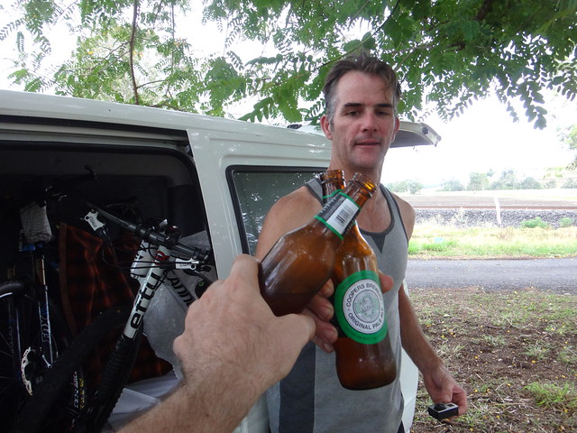
Jason packed a cold esky with beer. What a pleasant way to finish a ride!
All up we rode 93km in just over 7 hours with about 1,500 metres in vertical ascent.
I burned about 3,500 kcal.
I’ll rate this ride 8.5 out of 10 on the tough-o-meter. There are a couple of steep bits, but logistically the shop at the half-way point makes it an easy ride.
Now that I’ve joined this network up, I’d like to find a pleasant off-road route between Kyogle and the Coast. So perhaps we should go back to this beautiful part of the world for another ride!
Thanks, Jason, for another fun day on the bikes.