Please note: you can find a more up to date version of this blog at http://blog.neilennis.com

Saturday, July 27, 2013

Esk

Read More

Esk Railway Station


Today’s ride was preparatory. We planned to leave my van in Esk, ride to a railway station, and catch the train home. Then the next day we’d ride to Esk from Dayboro over the D’Aguilar Range, pick up the van and drive home.


That was the plan, anyway :)


Esk Rail Trail

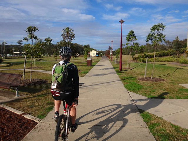
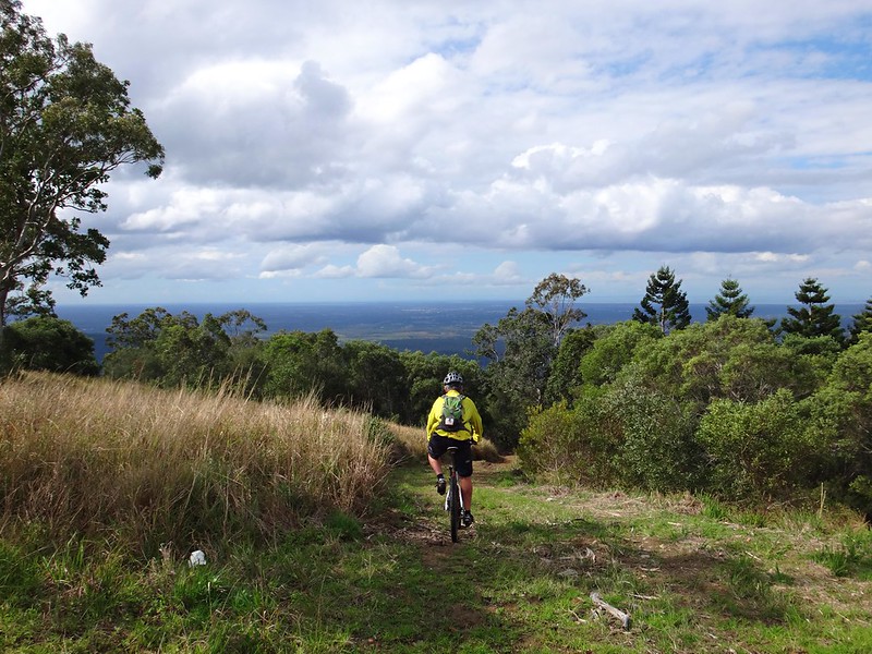
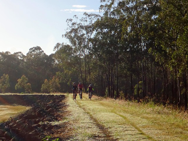
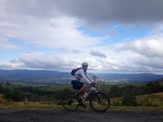
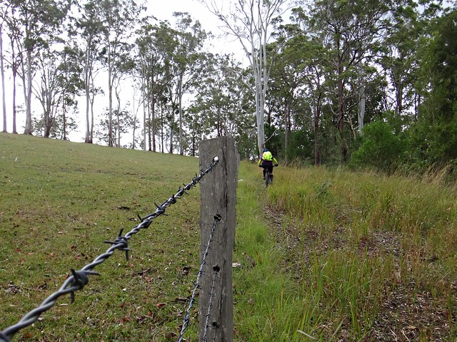
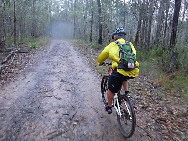
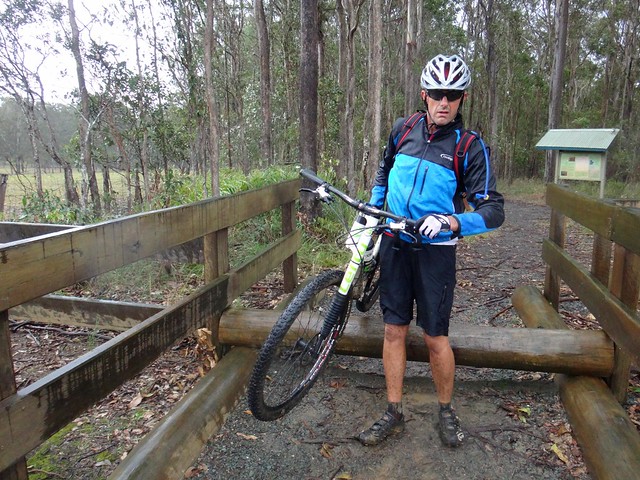
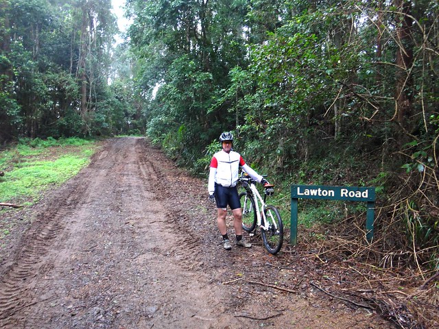
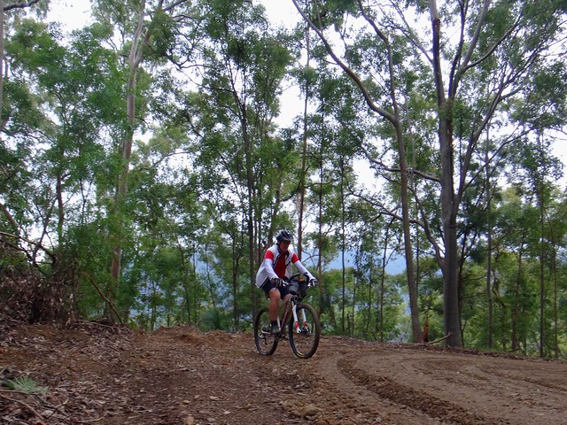
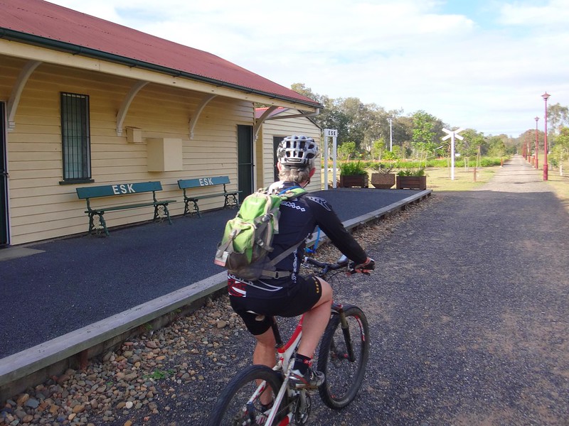
Eric and I dropped the van off at Esk, and started making our way south along the rail trail. If we kept up a good pace we’d get to Walloon Railway Station, west of Ipswich, by about mid day in time to catch the train home.


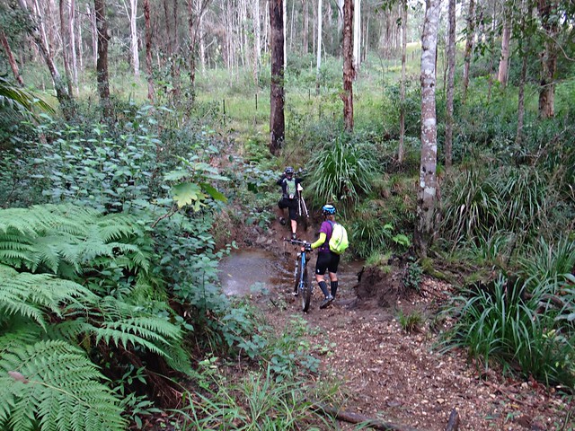
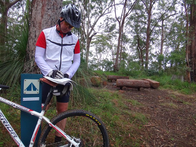
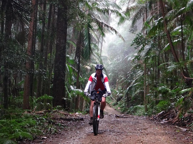
By the way, rail trails are recreational trails used by hikes, cyclists and horse-riders. They follow old disused railway lines. This line once stretched from Ipswich to Yarraman in the South Burnett. We’ve ridden other sections of this trail many times before. It’s a perfect easy track for families and children. The terrain is relatively flat, you don’t have to deal with steep hills, and it’s not as intense as some of the rougher trails that you can come across on a mountain bike.


Railway Bridge


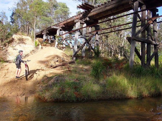
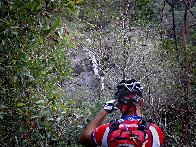
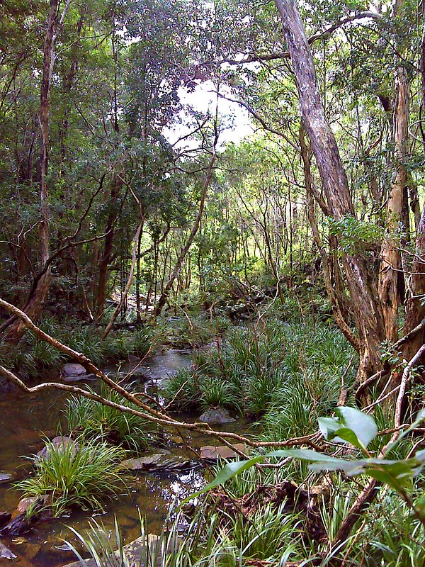
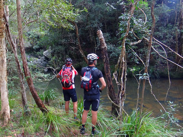
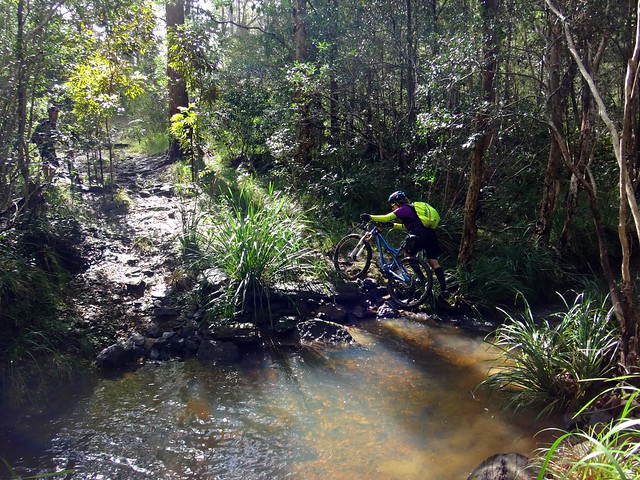
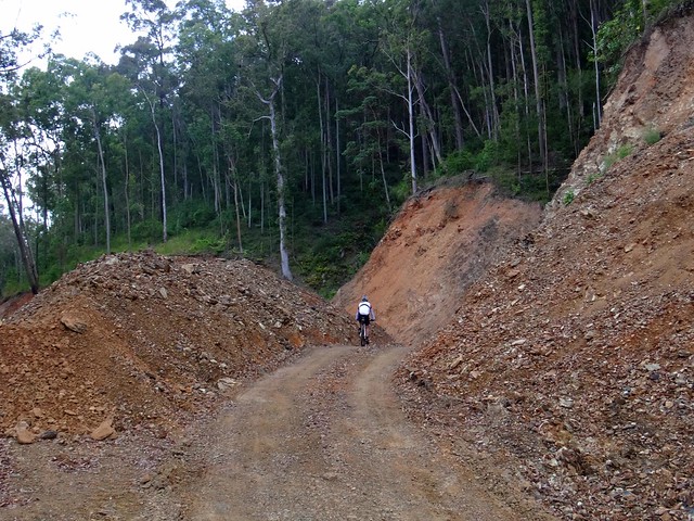
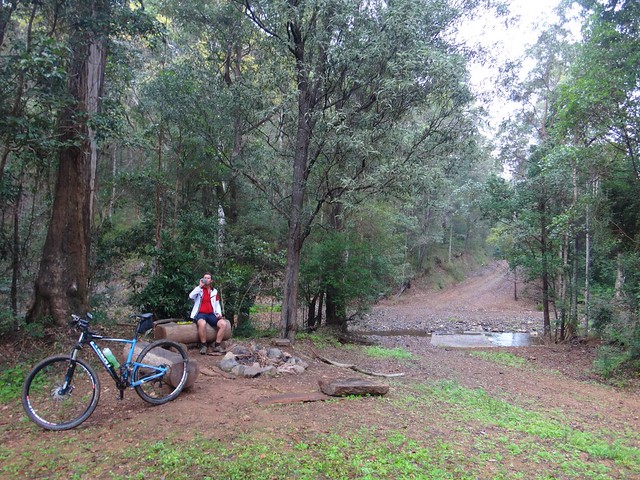
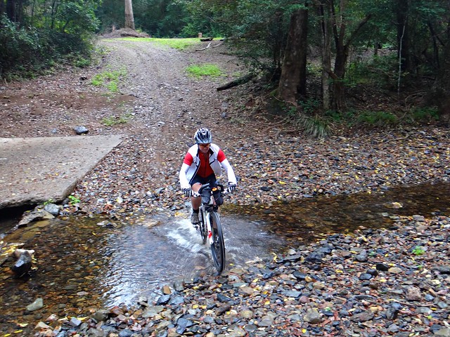
It was a beautiful ride. There were several remains of old bridges crossing different creeks. At these points, rather than roll your bike over a ricketty old bridge, the safest thing is to carefully cross the creek below and push up the other side.


Unfortunately this is where disaster struck.


I stopped my bike while crossing the creek, and put my foot out to steady myself. I put my foot on an old railway sleeper, but it slipped forward on the wet wood. This made my knee bend forwads the wrong way. I then slipped off the bike in pain, and as I did my hip joint popped out, and my knee twisted around sidweways. I ended up lying in the creek bed on my back, my face contorted in agony.


I’m so glad Eric was there to help me up. I foolishly thought I’d be ok, hopped back on the bike and tried to keep riding. That lasted about ten minutes till I eventually accepted the fact that I couldn’t continue.


So Eric and I turned the bikes around, and with lots of grunting and wincing, I slowly rode the bike back to Esk.


To be honest, while the pain was bad, I didn’t mind it. What really hurt was having to cancel a ride, and the planned ride the next day, and accept the fact that I’m probably not going to be on the bike for some time.


Lake Wivenhoe

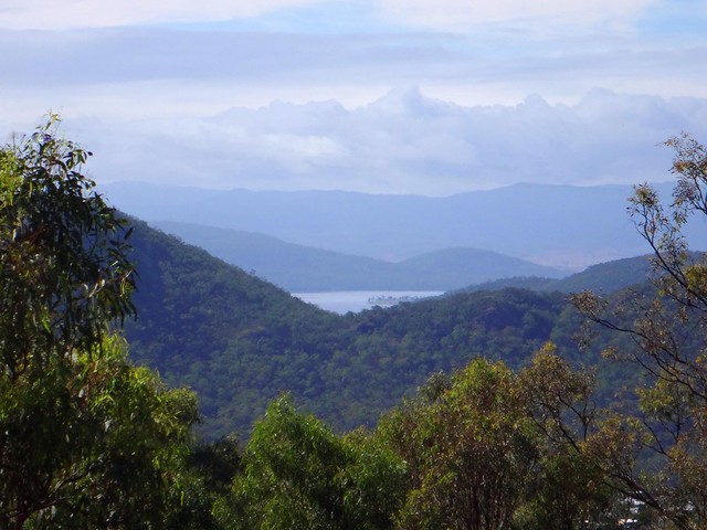
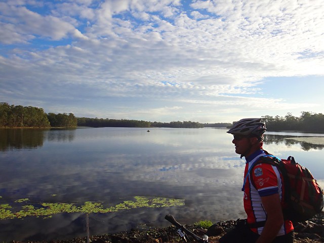
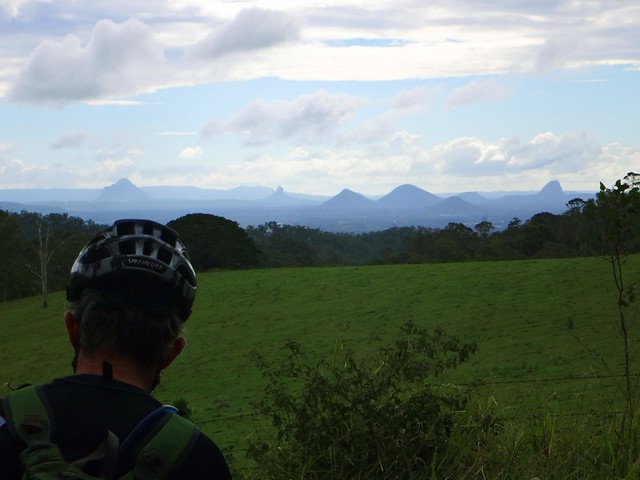
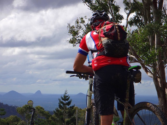
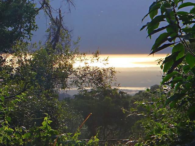
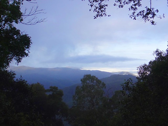
Before driving back home, Eric and I took a short drive up to “Lakeview Park” up on a hill to the west of Esk. The views are impressive, and I thought to myself that this would be a nice place to come back to on the bike…. one day.


I don’t know what I would have done if Eric hadn’t have been there to help me back to the car, and to drive me home.


I’ve often joked with Liz that if I was ever in trouble in the bush, the one person I’d want to have with me would be Eric. He’s a reliable, wise, capable and selfless friend.


High on Morphine

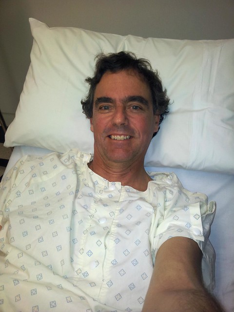
I eventually got to the hospital a few hours later. There are no bone fractures, but there’s a good chance I’ve torn a ligament. The doctor doped me up on pain killers, bandaged the injury, booked an MRI scan and sent me home. I’ll know more about the damage when I see the doctor again on Tuesday.


As you can tell from the dopey smile, the pain killers are pretty good – but they don’t aleviate the feeling of disappointment at being out of action for a long time.


Accidents can happen anywhere – even to experienced riders on low-intensity rail trails.


The important thing is to be prepared, and if possible, ride with a friend you can rely on.


We rode (and limped) 14km in just under two hours.


Not the most epic ride I’ve ever done. I’d probably rate it 3 out of 10 on the tough-o-meter.


As far as pain goes – it was about as bad as it gets.


Thanks for being there for me, Eric.


Now – what am I going to do with myself for the next few months? Stay tuned – I’ll try to make sure it’s not boring!


Saturday, July 20, 2013

Ocean View

Read More

Down down down...


We didn’t want to stray too far from home today, so I took my friends on an exploration of my “back yard” starting from the railway station down the road, and riding up into the mountains at Ocean View (near Mount Mee) before rolling back to Burpengary to catch the train. I love rides like this because it reminds me how lucky I am to live in such a beautiful place. Even though we might sometimes drive a few hours to explore a place on the mountain bikes, it’s reassuring to prove the old proverb that there is no place like home.


Lake Kurwongbah

Lake Kurwongbah

Lake Kurwongbah

We started off riding along the shoreline at Lake Kurwongbah. As if on cue, as soon as I started taking pictures, these rowers appeared out of nowhere. Don’t you just love days like that?

Lake Samsonvale

From there we headed for the shoreline of Lake Samsonvale and rode a few of the trails there. It’s quite hilly under the power lines, so we stopped for a rest at the top of the hill to enjoy the great view of the D’Aguilar Range to the west.


Dunlop Lane

This led us to one of the more historic trails in the area. “The Old North Road” was used here in the 1840′s by the Archer Brothers as a way of getting from Nundah near the Moreton Bay Settlement to Durrundur Station, near present day Woodford. It was based on an old Aboriginal pathway used for generations by people who walked from Meanjin (what we call “Brisbane” today) to the Blackall Ranges (near present day Maleny). These days, an un-built gazetted road, Dunlop Lane, follows the parts of this route. It’s a popular trail for horse riders.


Raynbird Road

As we slowly made our way in a north-westerly direction towards Ocean View, the hills grew steeper, and the climbs became more challenging…


Mountain View Road

Eventually we reached the major climb of the day – Mountain View Road. What a big hill!


Mountain View Road

Photos don’t do it justice, but even Eric and Jason (both very strong hill climbers) had to walk bits of it. I did too. :)


The Glasshouse Mountains

Lunch at Ocean View

We had a well-earned lunch at the top of the hill in a picnic area. In whatever direction we looked we were treated to great views.


Townsend Road

After lunch we continued north towards our next point of interest – the source of the Caboolture River. This river starts as a mountain stream in the rainforest at Ocean View. I thought it would be interesting to check it out.


Waterfall - Upper Caboolture River

The Upper Caboolture River

(Photo: Eric Dousi)


As we made our way along the track the sound of rushing water echoed through the trees. It wasn’t until we were almost right on top of it that we found the Caboolture River pouring over a waterfall.


The Upper Caboolture River

It looked impressive but we couldn’t find a place to cross the river at this spot, so we made our way back up the hill to try and find a way above the waterfall.


Ferny Forest

It was a bit of a circuitous route through fern covered gullies…


Barbed Wire Fence

…along barbed wire fence lines…


River Crossing

… and over more river crossings…


Ocean View

… until we finally made our way out of the thick bush and back onto the edge of the mountain range on Dean Drive. We’d paid our taxes in advance to the gravity gods, and so now we were able to enjoy an intense descent back down the hill.


Down down down...

We took one last view at the panorama looking east towards Moreton Bay, and started the downhill run. This was one of the steeper tracks I’ve ridden down. To maintain control, I hung my backside out over the back wheel as far as I could. So far, in fact, that it was almost touching my rear tyre. But I survived the descent and was able to stay on the bike.


Sheep Station Creek

Sheep Station Creek


As we reached the bottom of the range, it started raining quite heavily. We adjusted our route to get back to Burpengary Station as quickly as possible, shaving a few kilometres from our original route. We were still able to enjoy a quick (but wet) ride through Sheep Station Creek.


Home Train

We eventually made it to the train with about 15 minutes to spare, having ridden almost 70 km in seven hours. We climbed almost 1,800 metres and I burned about 3,500 kcal.


I’m rating this one 8.5 out of 10 on the tough-o-meter. The climb up Mountain View Road was tough. It was quite difficult bashing through the rainforest to get across the Caboolture River. The descent back down the range was challenging as well – not for beginners.


Thanks to Rebecca, Eric, Paul and Jason for a great ride through my back yard!


Wednesday, July 17, 2013

Return of the Super-V

Read More

Joyners Ridge Road

The “Super-V” is a popular mountain biking loop in D’Aguilar National Park. It gets its name from the “V” shaped elevation profile as you drop steeply down to the England Creek Valley from Mount Glorious, then slowly have to ride up an equally steep road to get out. It’s loops like that which inspired the famous Mountain Biking adage: “What goes down must come up”. I.e. whenever you enjoy a long ride down, you’ll have to pay for it with a long ride back up.


Maiala Park Sunrise

Western Window


Wayne and I started this mid-week ride from Maiala Park at Mount Glorious. It was cold, humid, foggy and a misty rain was falling, but we were still able to see the sun poking through the clouds as we looked down the mountain towards the coast.


Lawton Road

Lawton Road has been closed for over two years. Much of it was washed away in the floods of 2011, and park workers have only just recently repaired all the landslips.


Lawton Road

Where once there were huge chasms in the road, now there are large mounds of gravel where the graders and dozers have rebuilt the road. I doesn’t look pretty, but I think it will probably last a bit longer in a storm than the last road. All it needs is a few months of sunny weather to cook the surface, and it’ll be perfect.


Northbrook Mountain

At the moment, so soon after re-construction, and after wet weather, the surface is boggy in places, which made the steep climb up to Northbrook Mountain a little more challenging. Needless to say, Wayne beat me to the top.


Northbrook Mountain

I didn’t even realize this bush camp at Northbrook Mountain was here. It’s a gorgeous little campsite on the top of the mountain, on a turn-off about 500 metres past the Lawton Road water tank. There’s even a visitors book you can fill out (which we both did).


Northbrook Mountain

The long ride down England Creek Road is wonderful – and the views are…. well look for yourself! Amazing!


England Creek

England Creek

I know it looks like it, but we weren’t doing a “Bush Camp Crawl”. It’s just that the England Creek Bush Camp was about half-way, and we both felt like a bite to eat :)


Joyners Ridge Road

And from there we slowly made our way up Joyners Ridge Road. I explained the origin of the name to Wayne. You can read about why it’s so named here. Wayne also kindly tolerated my rendition of Banjo’s “Clancy of the Overflow” as we rode up the trail. It’s very hard to recite a poem while you’re out of breath, but it takes your mind off the climbing!


We travelled 23 km in just under 3 hours, during which we climbed 930m and I burned 1,500 kcal. If you don’t have much time (like during the week) this is a great little loop. I’ll give it 7.5 out of 10 on the tough-o-meter. The cool moist weather made it a very comfortable ride.


Thanks for the great company, Wayne!