
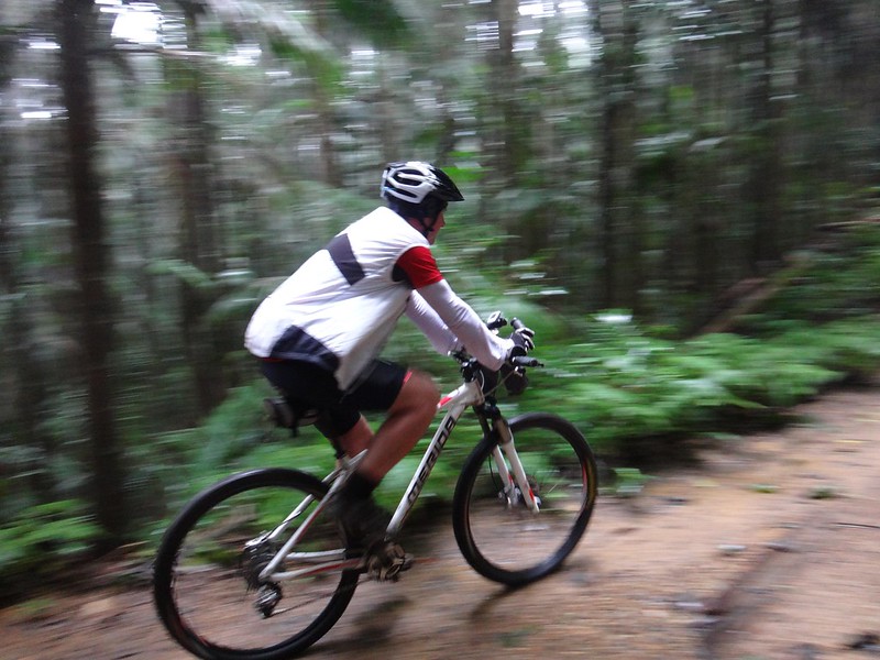
The “Super-V” is a popular mountain biking loop in D’Aguilar National Park. It gets its name from the “V” shaped elevation profile as you drop steeply down to the England Creek Valley from Mount Glorious, then slowly have to ride up an equally steep road to get out. It’s loops like that which inspired the famous Mountain Biking adage: “What goes down must come up”. I.e. whenever you enjoy a long ride down, you’ll have to pay for it with a long ride back up.
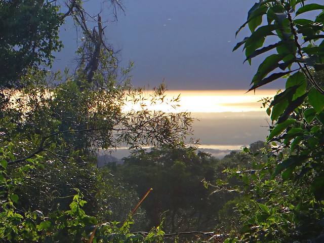
Wayne and I started this mid-week ride from Maiala Park at Mount Glorious. It was cold, humid, foggy and a misty rain was falling, but we were still able to see the sun poking through the clouds as we looked down the mountain towards the coast.
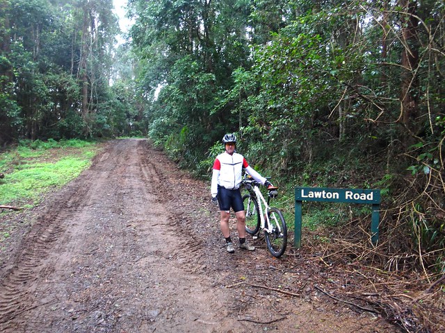
Lawton Road has been closed for over two years. Much of it was washed away in the floods of 2011, and park workers have only just recently repaired all the landslips.
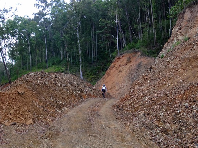
Where once there were huge chasms in the road, now there are large mounds of gravel where the graders and dozers have rebuilt the road. I doesn’t look pretty, but I think it will probably last a bit longer in a storm than the last road. All it needs is a few months of sunny weather to cook the surface, and it’ll be perfect.
At the moment, so soon after re-construction, and after wet weather, the surface is boggy in places, which made the steep climb up to Northbrook Mountain a little more challenging. Needless to say, Wayne beat me to the top.
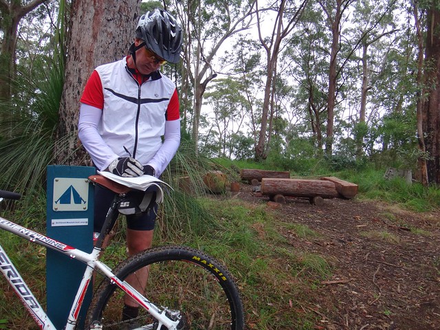
I didn’t even realize this bush camp at Northbrook Mountain was here. It’s a gorgeous little campsite on the top of the mountain, on a turn-off about 500 metres past the Lawton Road water tank. There’s even a visitors book you can fill out (which we both did).

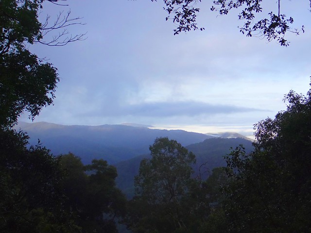
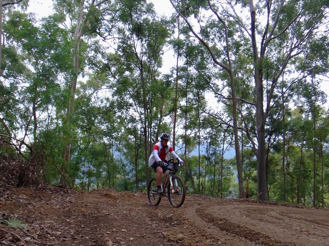
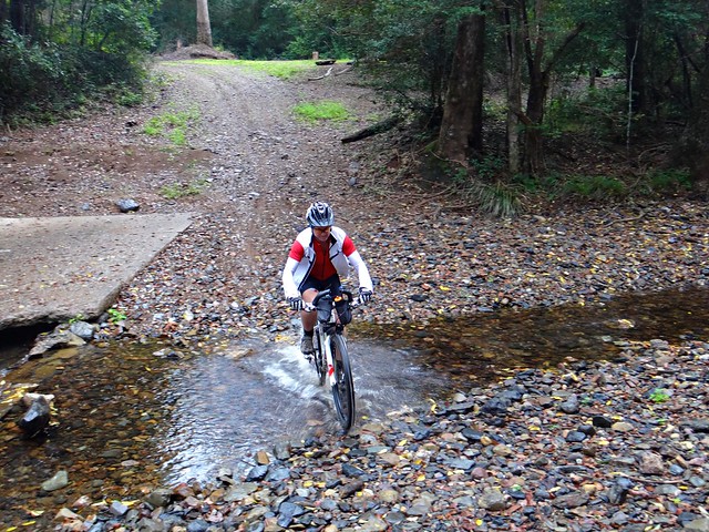
The long ride down England Creek Road is wonderful – and the views are…. well look for yourself! Amazing!
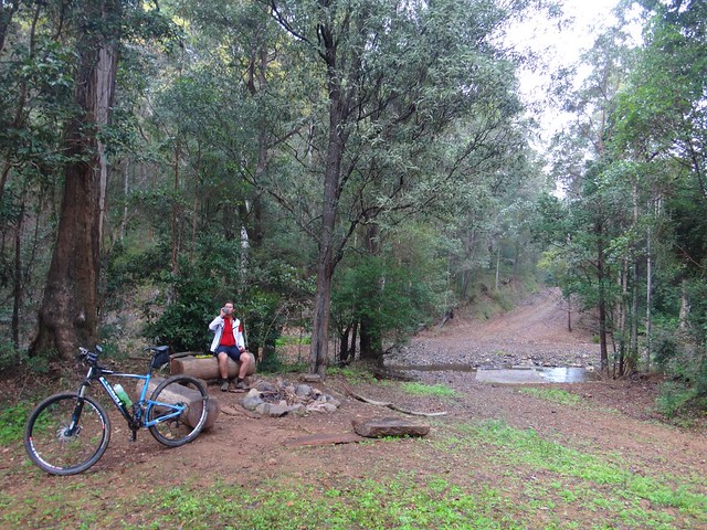
I know it looks like it, but we weren’t doing a “Bush Camp Crawl”. It’s just that the England Creek Bush Camp was about half-way, and we both felt like a bite to eat ![]()
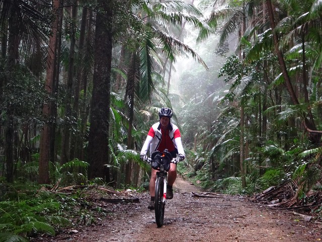
And from there we slowly made our way up Joyners Ridge Road. I explained the origin of the name to Wayne. You can read about why it’s so named here. Wayne also kindly tolerated my rendition of Banjo’s “Clancy of the Overflow” as we rode up the trail. It’s very hard to recite a poem while you’re out of breath, but it takes your mind off the climbing!
We travelled 23 km in just under 3 hours, during which we climbed 930m and I burned 1,500 kcal. If you don’t have much time (like during the week) this is a great little loop. I’ll give it 7.5 out of 10 on the tough-o-meter. The cool moist weather made it a very comfortable ride.
Thanks for the great company, Wayne!


No comments:
Post a Comment