Please note: you can find a more up to date version of this blog at http://blog.neilennis.com

Sunday, March 29, 2015

Poverty Creek

Read More

Bluebottle

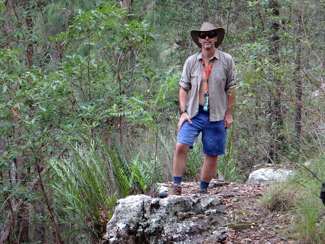
For my first time back on the bike since knee surgery last month, I decided to ride somewhere flat and relatively easy. Yes it was flat, but it was anything but easy


Jason, Rick & Neil

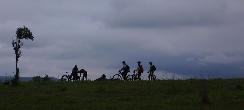
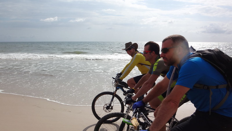
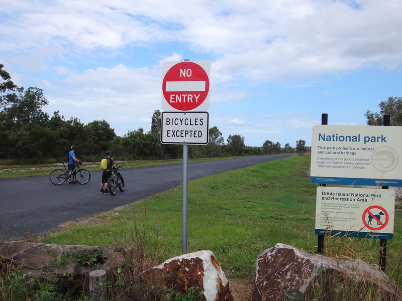
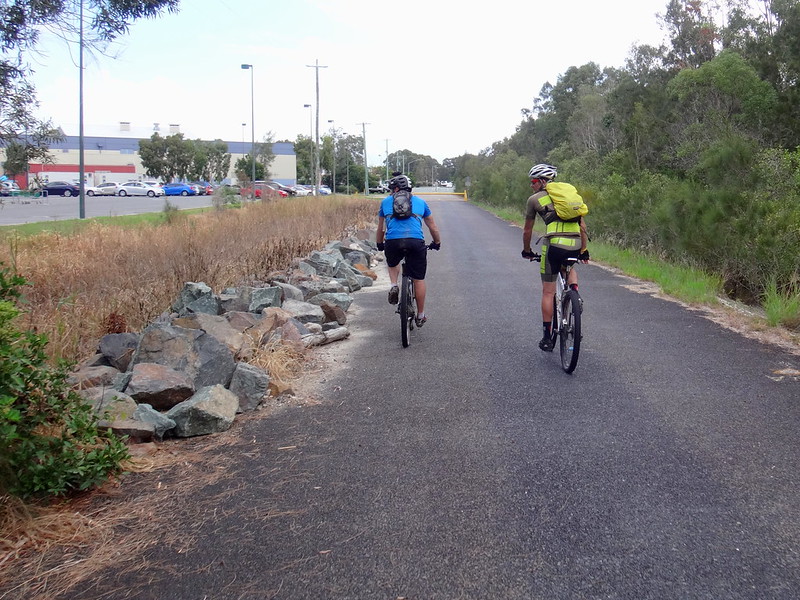
We started our Bribie Island adventure at the sports fields near the southern tip of the island, and headed towards the beach.


Rick, Darb and Jason

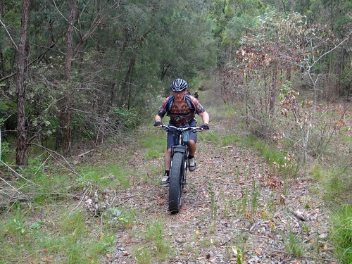
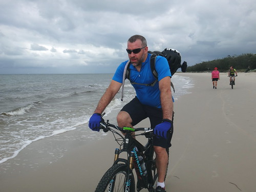
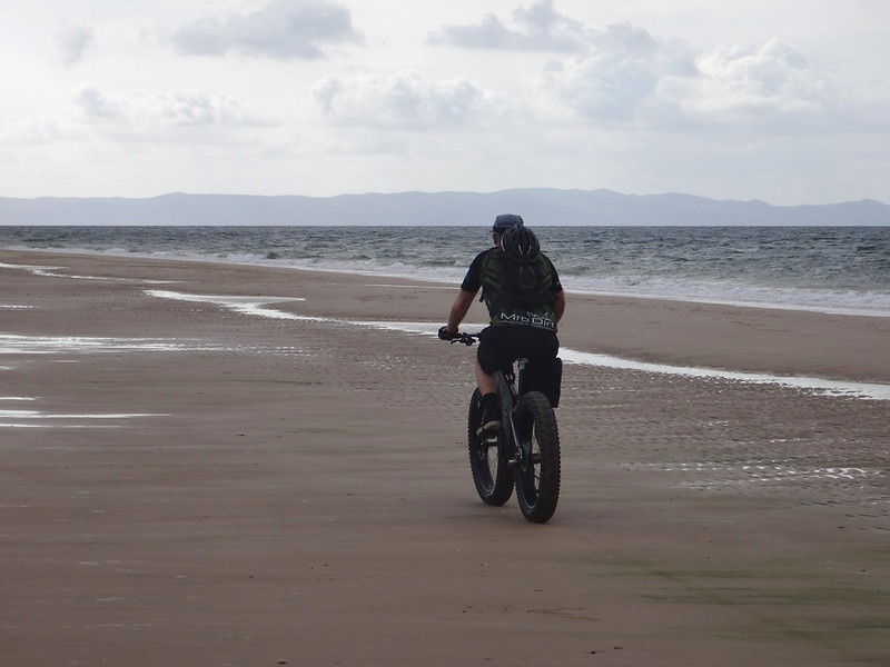
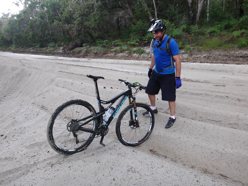
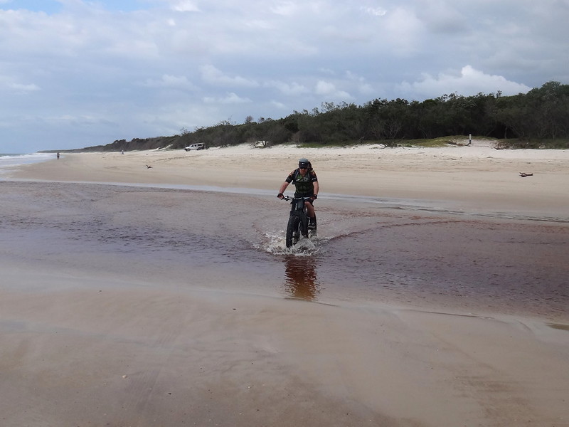
After a few hundred metres we found a sandy track and followed it. The sand was tricky to ride on – our wheels slid everywhere. Darb found it much easier due to the huge tyres on his fat-bike which hugged the sand and gave him traction.


Neil at Red Beach

(Photo: Tony Ryan)


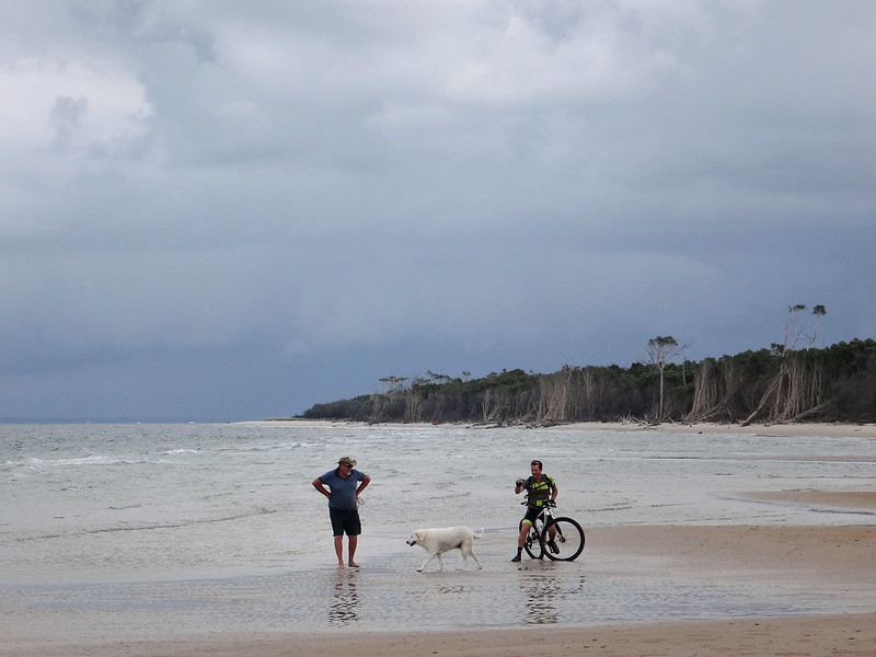
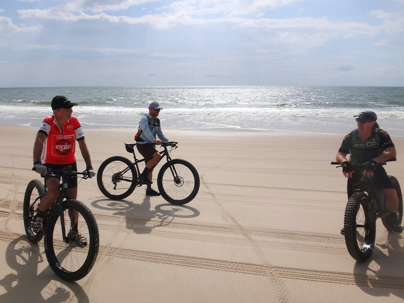
Eventually we reached Red Beach on the southern coast of Bribie. The receding tide had left the sand quite firm, providing an easy surface on which to ride. Everyone was smiling…
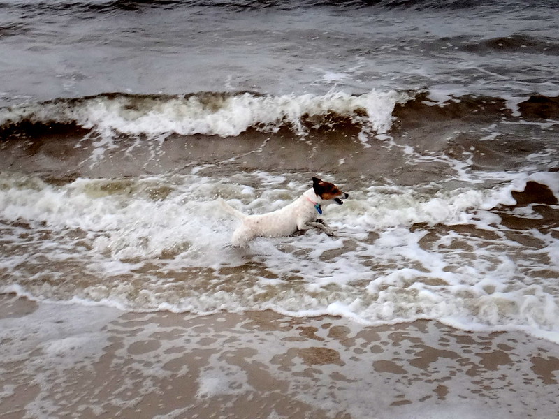

Dog in the Waves

…even the dogs.


RickDarb


Neil at Red Beach

(Photo: Tony Ryan)


Looking south towards Brisbane across Deception Bay, I was amazed at how such a remote stretch of coast was located so close to a major city. We were less than an hours drive from Brisbane, but it felt like it was a million miles away.


Jason at Skirmish Point

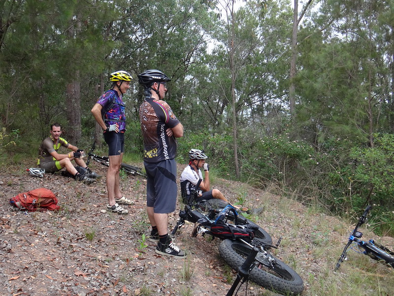
The beach is no place to hurry: We took our time, often stopping to take photos, talk to locals and enjoy the view.


Near here in 1799 Matthew Flinders made first contact with the indigenous inhabitants of the area. After Flinders came ashore, one of the local Joondoobarrie people tried to steal his hat. Flinders retreated to his ship and one of the aborigines angrily threw his spear towards him. Flinders retaliated by firing his musket at the man and injuring him. Skirmish Point is named after this incident.


Darb at Skirmish Point

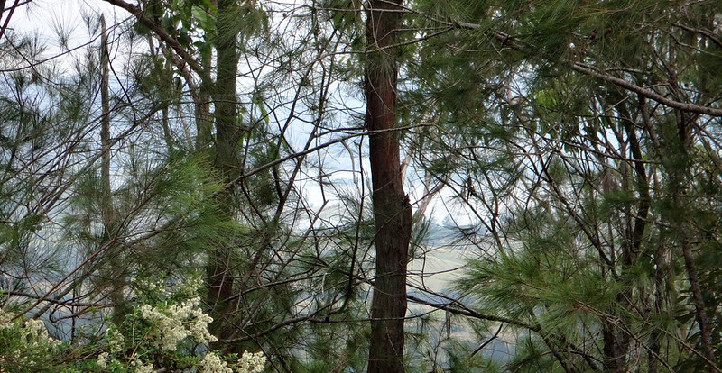
Ahead of us, the distant hill tops of Moreton Island reached up over the eastern horizon.


Woorim Beach

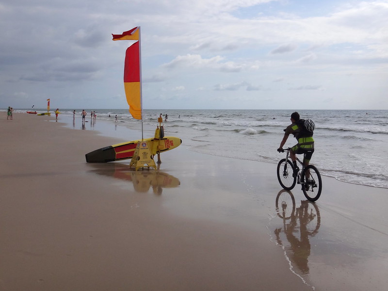
Eventually we reached the patrolled surf beach at Woorim on the eastern side of the island. Swimmers were out early enjoying the waves.


Bribie Bunker

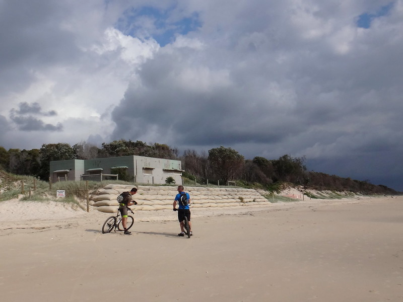
We stopped outside a disused bunker from the Second World War. Although the windows and doors were wired shut, it was a reminder of more troubled times when worried eyes surveyed dangerous waters from behind gun turrets.


Riding Buddies

(Photo: Tony Ryan)


Today was anything but troubled or worried.


Nick, Rients and Darb


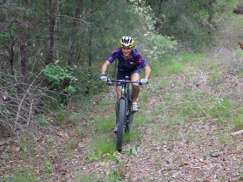
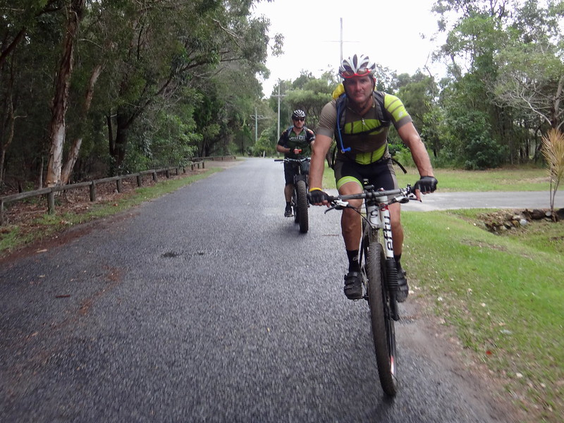
A couple of friends, Nick and Rients, zoomed past us on their fat bikes. Unlike us, they were on their way to the tip of the island. We rode together until our paths diverged.


Sandy Trails


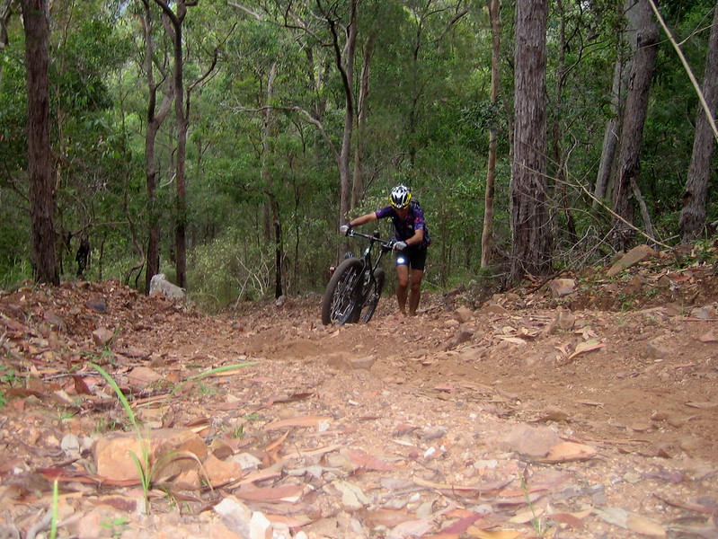
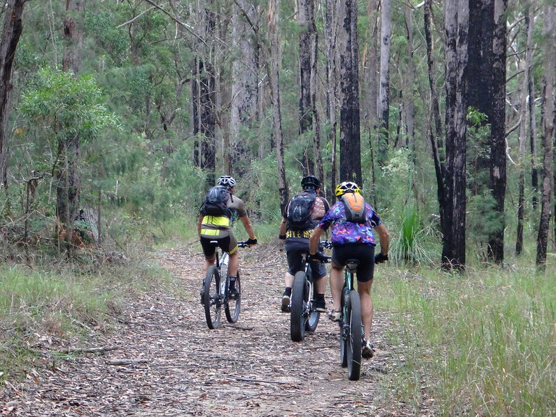
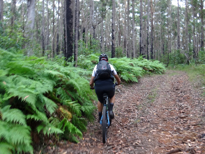
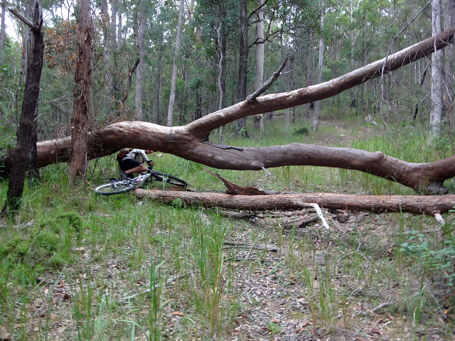
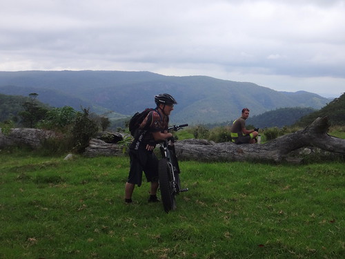
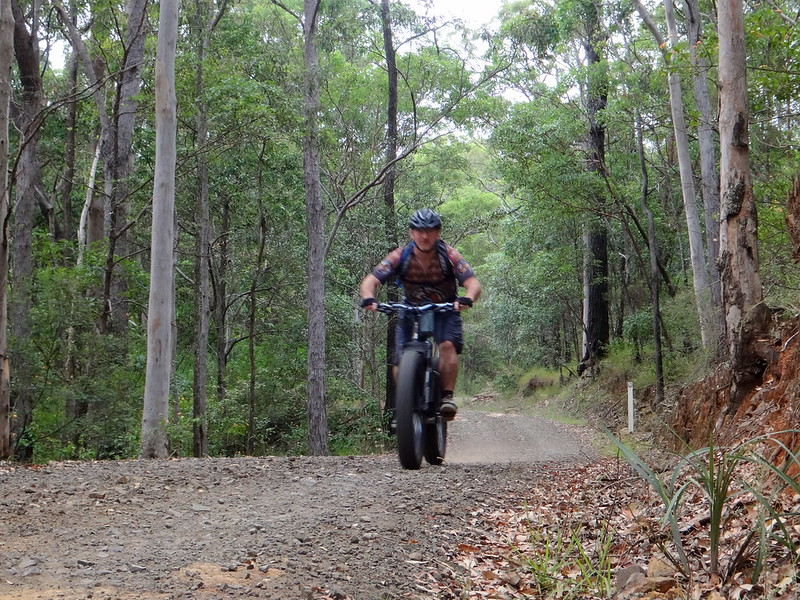
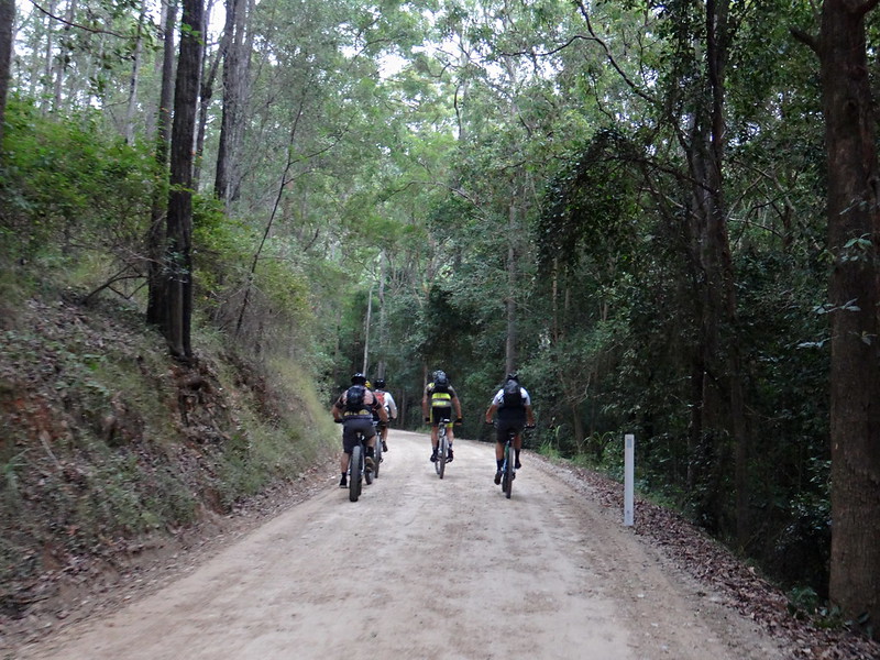
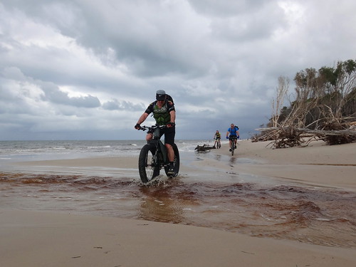
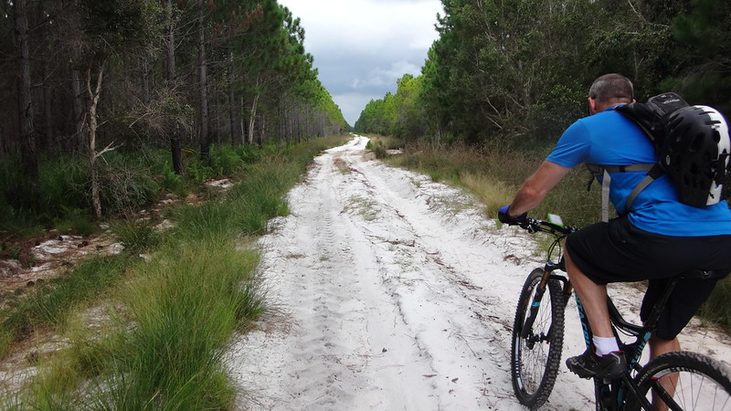
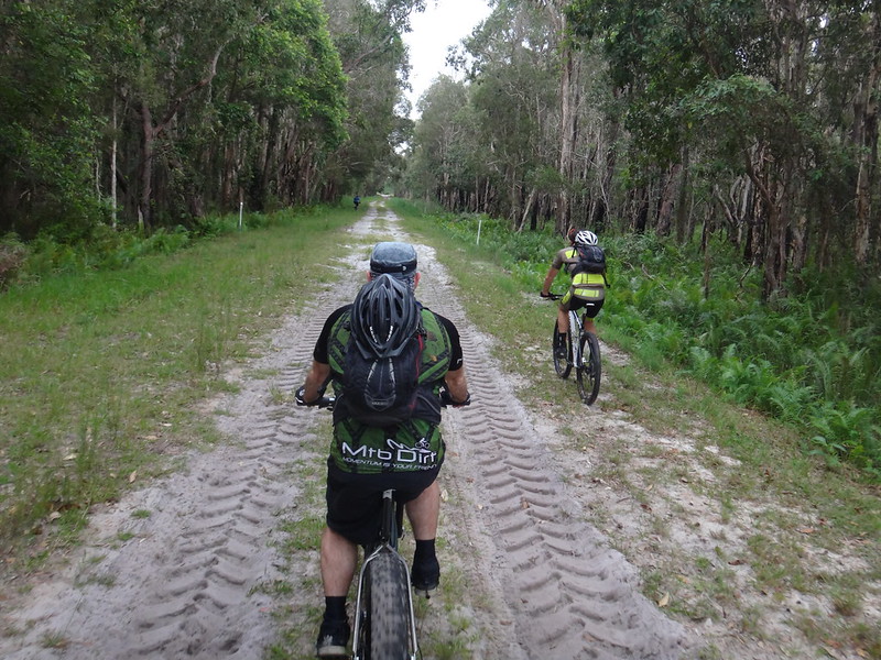
Eventually we left the beach and headed west across the island. The trail became softer and harder to ride on.


Sandy Trails in the Pine Forest

(Photo: Tony Ryan)


We persevered in the sand for as long as we could.


Sandy Trails in the Pine Forest


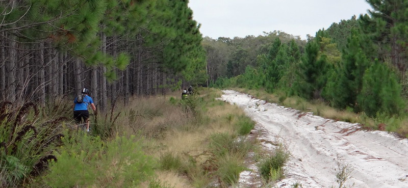
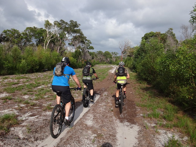
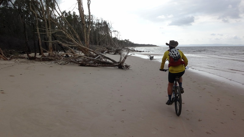
Eventually we decided to forget about trying to ride on the sand, and bashed through the undergrowth beside the track. It was rough, but at least the surface was solid, and we were able to make slow progress.


Bribie Swamp


In some places, a narrow strip of grass grew beside the tyre tracks, and we were able to ride on that.


Riding in Sand

In other places the sand was so thick you could stand your bike in it. At those points we had no choice but to get off and push.


Riding in the Rain

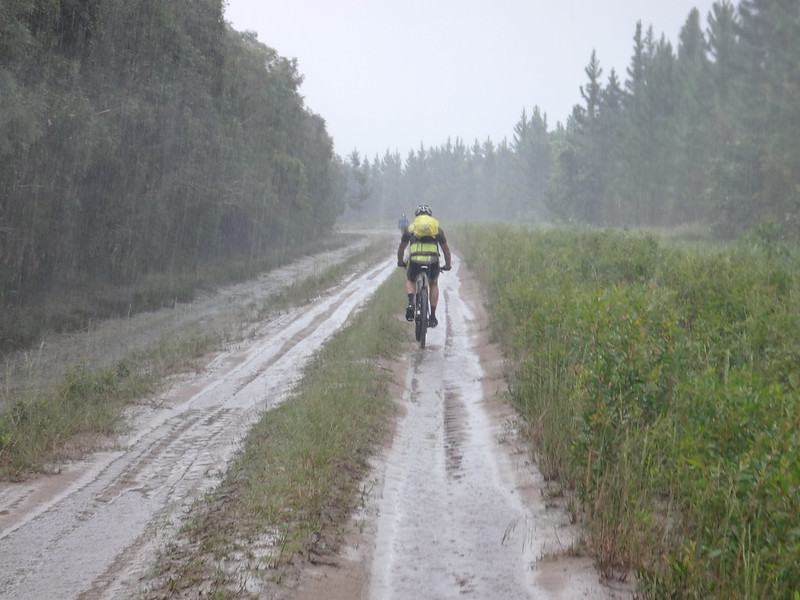
Thankfully, it rained.


Heavily.


Normally it’s unpleasant riding in heavy rain, but the downpour made the sand firmer and easier to ride on.


Riding in the Rain

(Photo: Tony Ryan)


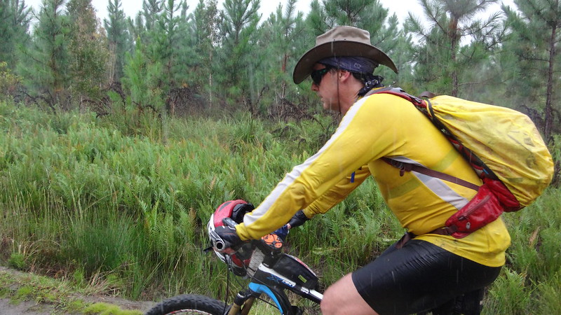
I discovered that a wide-brimmed hat is perfect in heavy rain. The rest of me was soaked to the skin, but my face and glasses were dry, so I was able to see where I was going.


Poverty Creek

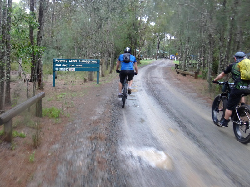
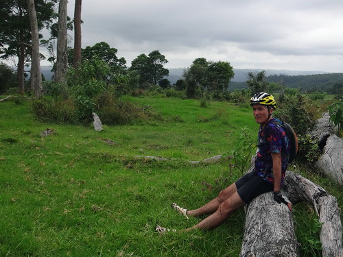
As if on cue, the rain eased back when we arrived at Poverty Creek camp ground for lunch.


Poverty Creek


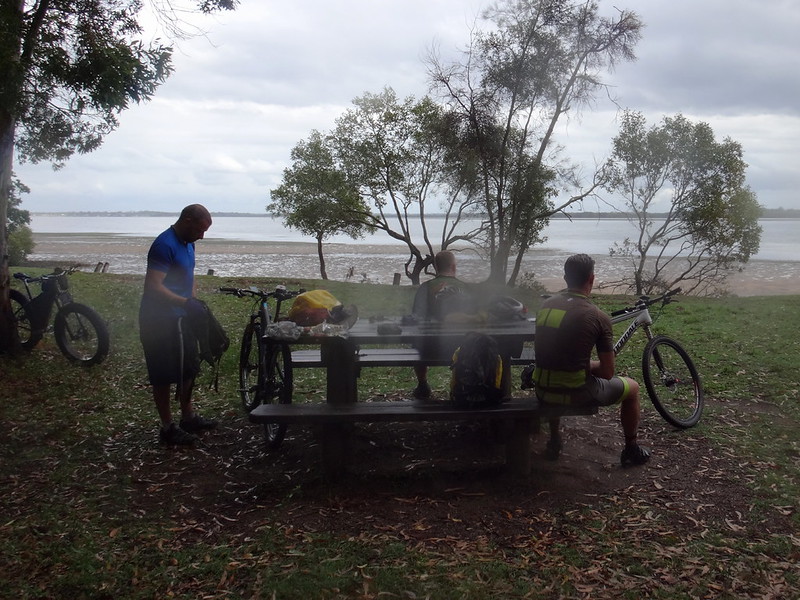
I was able to wring out my soaking socks and enjoy a bite to eat.


Glasshouse Mountains from Poverty Creek


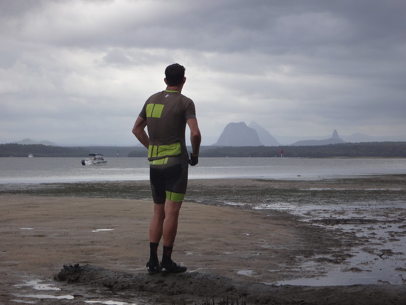
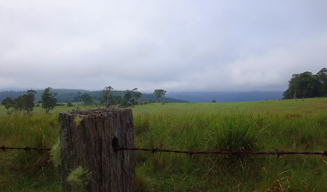
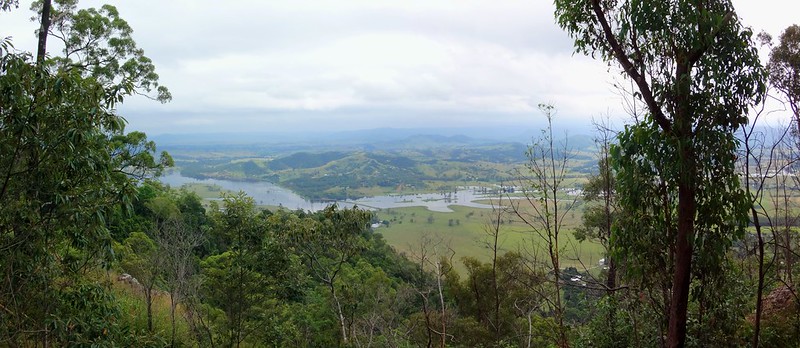
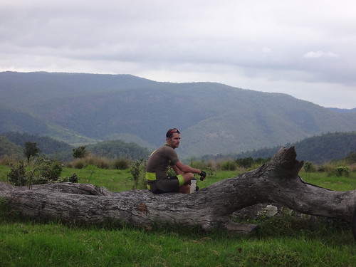
Across the Pumicestone Passage, the peaks of the Glasshouse Mountains reached up to the brooding clouds.


This was a gorgeous spot to have a rest and enjoy the view.


Poverty Creek Road

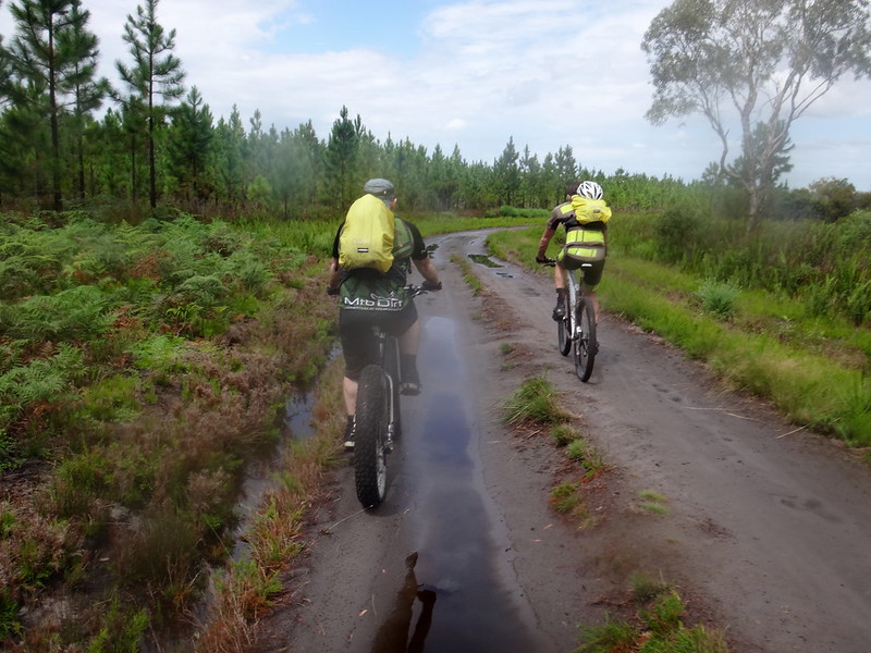
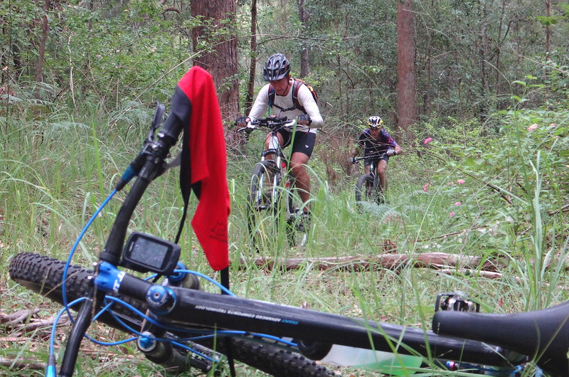
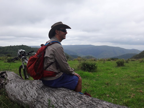
After lunch we retraced our tracks southwards. The rain had hardened up the trail, and we found it much easier to ride on.


Darb and the Kangaroo


Bearded Dragon

(Photo: Tony Ryan)

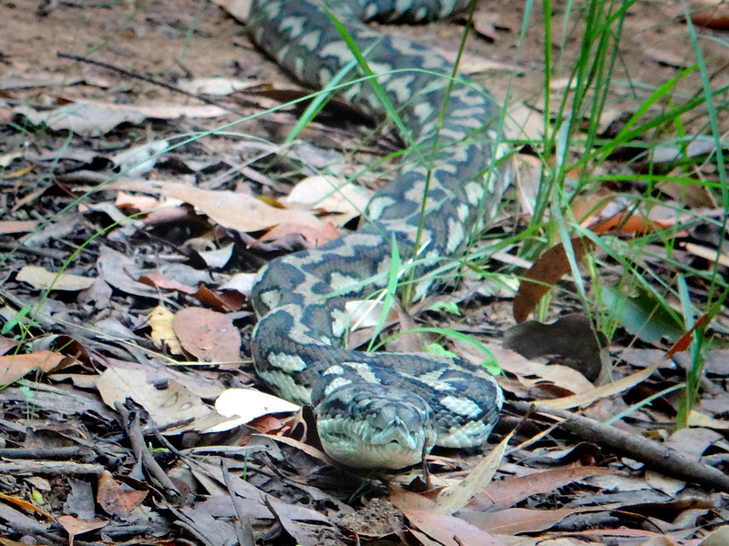
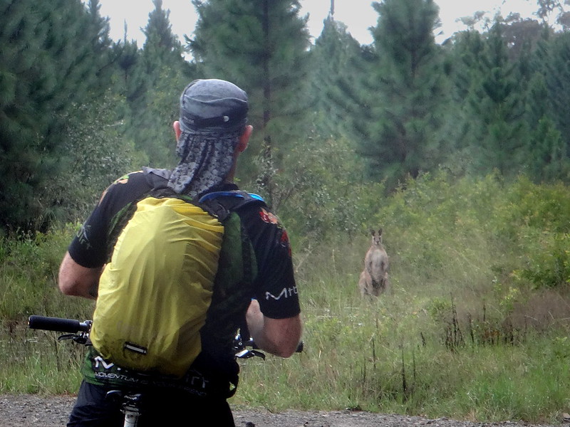
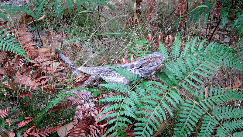
We stopped when the local wildlife told us to :)


Gallagher Point Road

White Patch


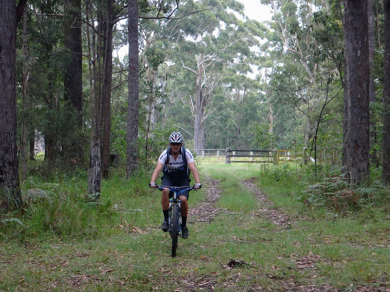
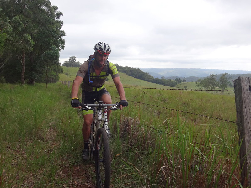
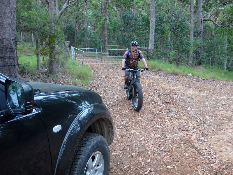
After laboring through several kilometres of soft sand we eventually reached the Gallagher Point turn-off at White Patch. We were all secretly relieved to be riding on a paved road. Sand is hard work.


Hornsby Road

Hornsby Road is unusual. It’s long and straight. You could easily land an aircraft on it. The best thing about Hornsby Road is that it’s closed to all traffic except bikes, so we enjoyed an easy few kilometres rolling down the tarmac towards our starting point.


Hornsby Road


After riding for just over 6 hours including breaks, we finally arrived back at our starting point.


The total distance was just under 50km. Although there was little change in altitude on this ride, I burned about 3,000 kcal.


I’ll rate this ride 8 out of 10 on the tough-o-meter. The first half (on the beach) was really easy, the second half (on the soft sand) we quite challenging.


Darb


Thanks Darb, Jason and Rick for a really fun ride.


It was a bit tougher than I had hoped for, but I’m very glad to be back on the bike again!


Sunday, March 22, 2015

Mount Archer

Read More

Eric at Mount Archer

A couple of years ago on the long climb into D’Aguilar National Park via Lovedays Road, my friend Nick looked up a steep side-track and thought out aloud “I wonder what’s up there?”


Today we answered that question.


Lovedays Road

There are two mountains named “Mount Archer” in Queensland, both of them named after the Archer Brothers – the seven pastoralist sons of scottish timber merchant William Archer. The taller of the two mountains of the same name towers over 600 metres above Rockhampton.


Today we wanted to ride up the smaller Mount Archer, which stands on the northen edge of D’Aguilar National Park, about 540m above the Stanley River, Somerset Dam and Neurum Creek.


Darb

I was driving Darb’s 4WD drive to provide support, while everyone else rode.


Neurum Creek

Neurum Creek

We’ve done the first part of this ride several times before as it crosses Neurum Creek and slowly climbs the range.


Hill Climb

It’s a reasonably challenging 7km climb up Loveday’s Road. It’s not as steep as some of the roads we’ve been up, but it takes a while to ascend.


Moss on Ironbark

I stopped a couple of times in the car on the way up to encourage the riders and enjoy the silence.


Hike-A-Bike

(Photo: Eric Dousi)


Towards the top, we took the track west to Mount Archer. This was really steep. When you’re riding a bike and the track gets steep, you just get off and push. But I was driving. The car got halfway up one steep pinch before the wheels started spinning. A novice at four-wheel driving, I decided it was too treacherous to reverse all the way back down. Instead I eased the car back a few metres, then tried to drive it up again. I kept the momentum up, and although the wheels spun slightly, I made it to the top and heaved a sigh of releif.


Neil

Mountaintop Pasture

I arrived at the top before the riders. After reaching the locked gate I decided to walk ahead and let them catch up. We wanted to visit several vantage points with potentially good views, and I didn’t want to hold them up. Bikes are much faster than hikers, so I thought the best approach would be to get a head-start on them while I had the chance.


DarbNick

Where's the Lookout?

Reaching the first look-out before them, I realized I had under-estimated my walking speed and over-estimated the riders speed. After a five or ten minutes the riders arrived, and we decided our first lookout was a bit of a disappointment.


Where's the Lookout?

Although it was on the edge of a steep precipice, the edge was thick with trees and we didn’t have much of a view, apart from a few snippets of Lake Somerset through the trees.


Mountain Bikers

Our plan at this point was for the riders to check out a few other vantage points that were too far for me to reach on foot, while I walked a shorter loop.


Paul

Paul

Paul kindly offered to ride alongside me while the others went ahead. I was grateful for the company.


Mount Archer

(Photo: Tony Ryan)


The riders were similarly disappointed with the second look-out, but the third one was spectacular.


Darb at Mt Archer Lookout

(Photo: Eric Dousi)


Near the summit of Mount Archer, this cliff-top looked northwards over the Stanley River with wide views towards the Conondale Range in the distance. It was even possible to make out the narrow causeway over the river.


Bush hut

(Photo: Tony Ryan)


This “bush-camp” was a surprising discovery on the way back. With all the comforts of home, it looked like the perfect place to escape the cares of the world. It’s amazing what you discover while exploring remote places.


Paul

Paul

Meanwhile Paul and I scrambled along an overgrown track in search of the fourth look-out of the day.


Neil

(Photo: Paul Smith)


Paul

We eventually reached another cliff-edge. Sadly, like the first look-out, the edge was thick with trees and we were unable to see very far. It was still a pleasant walk.


Tree Obstacle

(Photo: Tony Ryan)


The trails on the northern edge of the plateau are steep and rough, which slowed the riders down.


Eric and Nick

We made our way back to the main track and enjoyed a bit of a break while we waited for the riders to catch up with us.


Jason

Our final destination of the day was the edge of a large cattle pasture on the edge of the range.


Mountain Bikers

We followed the fenceline down to the edge of the paddock and enjoyed some great views to the south-west. In the distance we were able to make out the course we’d taken on a previous ride down to Westvale on the shore of Lake Somerset.


DarbNick

JasonNeil

This was a perfect spot to rest a while and soak up the view.


Mountain Bikers

As we began our way back to the start, I left the mountain-bikers and took a short-cut across the paddock so that I didn’t fall too far behind them.


Kabul

The riders soon skidded to a halt as this majestic two-metre long carpet python blocked the way. I got a little too close for comfort to take its portrait, and it slowly coiled backwards into an “S” shape to more effectively lunge forward at me. I took the hint and quickly got out of the way. I didn’t know snakes had blue eyes. How beautiful!


Mount Archer

We finally reached the car. I had hiked over 11 kilometres and felt very pleased with myself, considering my knee surgery was only 40 days ago. I think this new knee and I are going to get on very well :)


Lovedays Road

The roll back down the hill is very fast on a mountain bike. In fact it’s probably faster on a bike than in a car. Most of the riders had already reached the bottom while I was still driving, but I did manage to catch a quick glimpse of Darb has he shot past me on his fat bike. You could hear those huge tyres crunching the gravel from a long way away.


Lovedays Road

The riders cycled about 37km in 5 hours including breaks. This included about 1,100 metres in vertical ascent. The track had a few hike-a-bike sections. I’d rate this about 8.5 out of 10 on the tough-o-meter.


Jason and Neil

I hiked 11.3km in just under 4 hours including breaks. This included about 530 metres in vertical ascent. My track was steep in sections. I’d rate the hike about 7.5 out of 10.


Here’s Darb’s track-log of the ride:


Here’s my track-log of the hike:


Thanks Darb, Eric, Paul, Jason and Nick for letting me share in your adventure today.


And thanks, Darb, for entrusting your car to me in some really rough country!