Please note: you can find a more up to date version of this blog at http://blog.neilennis.com

Sunday, April 28, 2013

Deongwar

Read More

Gus Beutels Lookout

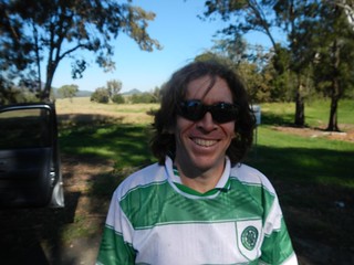
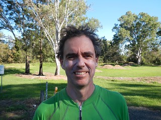
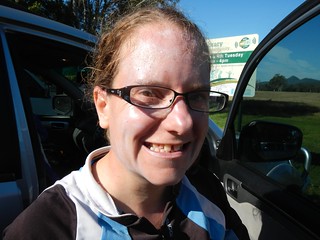
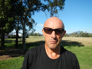
It’s supposed to be all down-hill if you start a ride from its highest point. But contrary to what I told everyone before today’s epic, this ended up being one of the more difficult treks we’ve done.


Gus Beutels Lookout

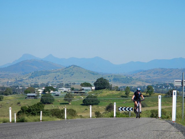
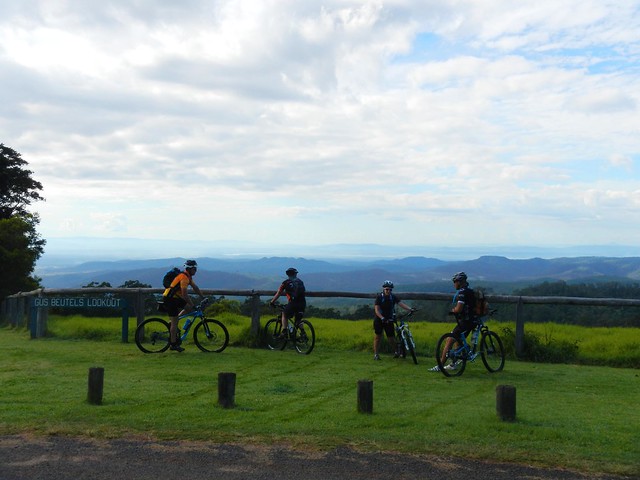
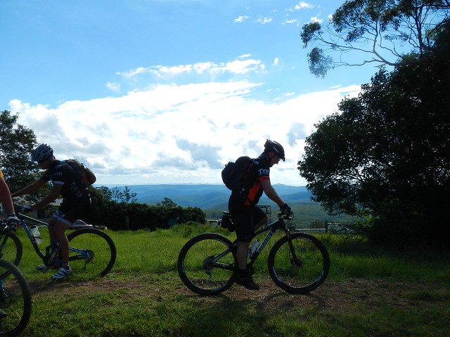
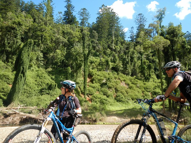
This was a point-to-point ride starting at the panoramic Gus Beutel’s Lookout, almost 760 metres above sea leval, near Ravensbourne on the Great Dividing Range. We intended to ride down the hill to Esk via some of the tracks that pass through Deongwar State Forest.


It’s logistically a bit more complicated when you starting and finishing a ride at different points. It means you need more cars. We met at Esk, parked some of the cars there, and bundled everyone and their gear into two of the vehicles which took us up the hill to the lookout.


The lookout is named after a German pioneer, Gustav Beutel, who settled in the area after emmigrating from Brandenburg in the nineteenth century. In 1924 he was granted a special lease to clear a one hectare section for a picnic ground and lookout for the many visitors who came to the Ravensbourne district to enjoy the rainforests and amazing views.


Shearer RoadHorrex Road

Horrex Road

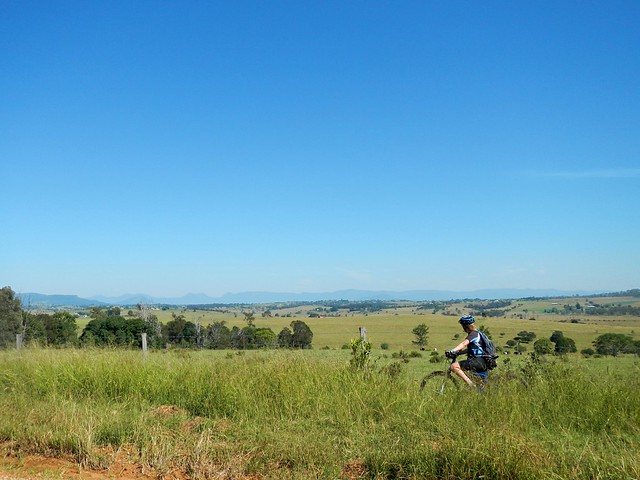
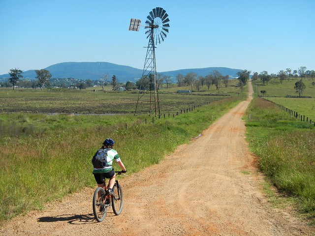
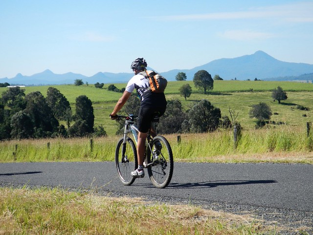
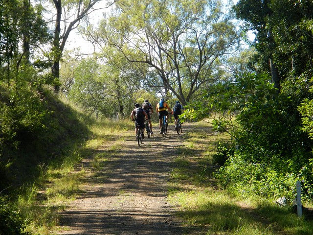
From the lookout we followed some quiet dirt roads around the back of Ravensbourne on our way to the State Forest.


This whole area was covered in thick rainforest prior to European settlement. It was the traditional home of the Jarowair and Jagera people, but contained important pathways for other indigenous groups travelling northwards for ceremonial gatherings in the Bunya mountains.


In the late nineteenth century, most of the forest was cleared for its valuable Cedar, Blackbean and Rosewood timber, and to provide land for potatoes, maize and dairy.


Since the 1920′s successive governments have tried to redress the damage caused by land-clearing, and today about 700 hectares of forest is protected in Ravensbourne National Park, with almost 5,000 hecatres set aside in Deongwar State forest.


LantanaBush Bashing

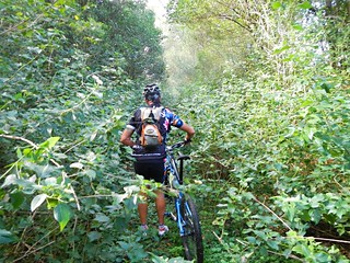
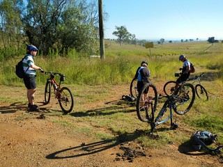
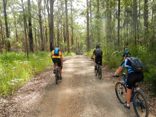
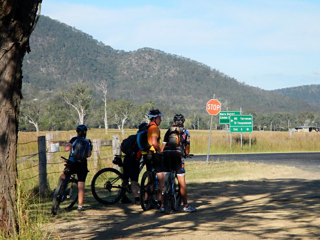
Before entering Deongwar, we had to deal with a major obstruction. On the GPS we were supposed to be on a road, but (as often happens) the reality was that we had to pass through a dense thicket of Lantana. This prickly scourge sprouts thick branches which are difficult to push through, and rip your skin and clothes as you push through.


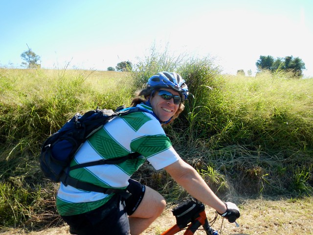
I took the easy option and let the other guys push through the overgrowth, and I followed meekly behind :)


Single Tracks

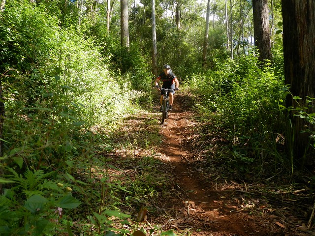
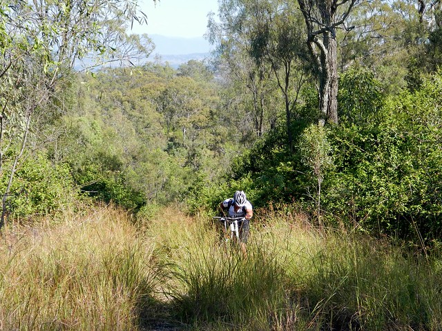
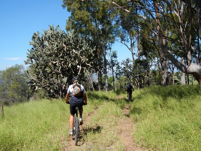
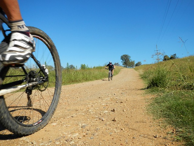
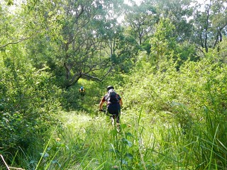
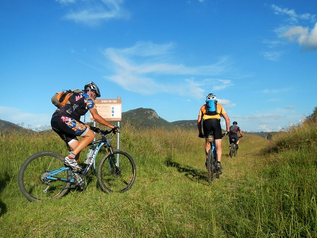
The discomfort was worth it. Not long after we were hurtling down some wonderful twisty single-tracks as we descended through Deongwar forest. The tracks conttinued for ages, mostly downhill with one or two sharp pinch-climbs to contend with, and a few water-bars to jump over. It was a lot of fun.


Brennan Road

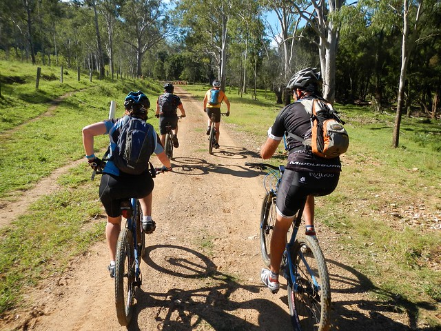
Eventually we found our way to Brennan Road. Its gentle downhill slope let us zip through the trees towards the more challenging ridgelines that dropped towards Cressbrook dam.


Down Through the Grass

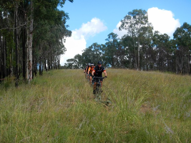
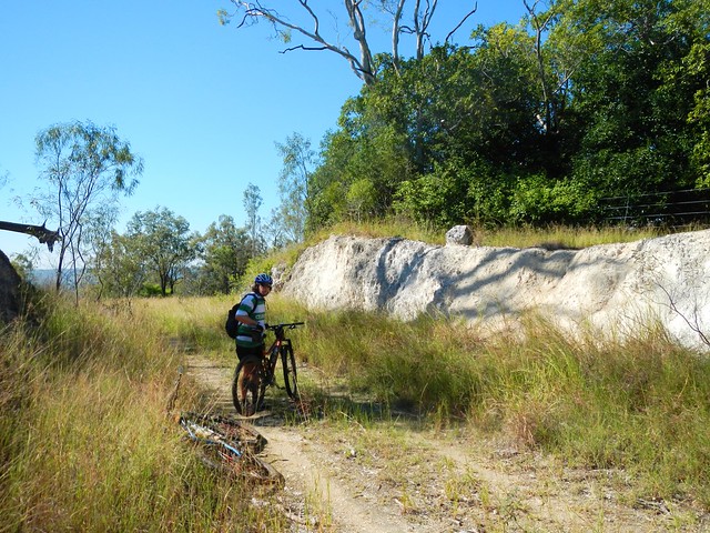
We chose a ridgeline which dropped us about 200 metres in the space of 2 kilometres. In places the downward gradient was over 20%. The track was covered in thick grass in many places, but it was surprisingly smooth to ride. Thankfully there were no hidden rocks or pot-holes!


Cressbrook Dam

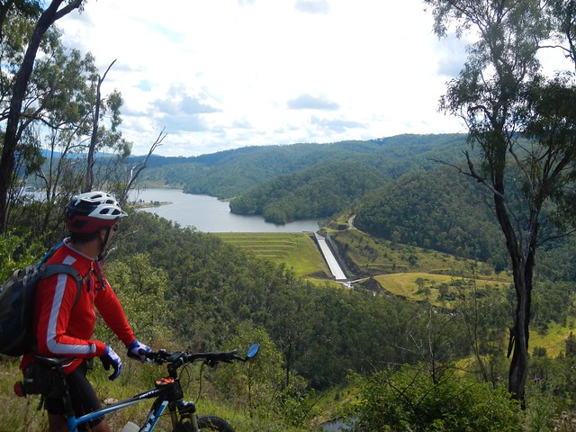
Halfway down, we took a few minutes to enjoy the view of Cressbrook Dam and the picturesque lake behind it. It was built in the 1980′s to provide water for the nearby city of Toowoomba. All I could think of while looking at that spillway was how much fun it would be to ride down it on a boogie board before meeting your demise on the sharp rocks below. (What was I thinking?)


A track?A track?

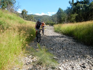
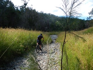
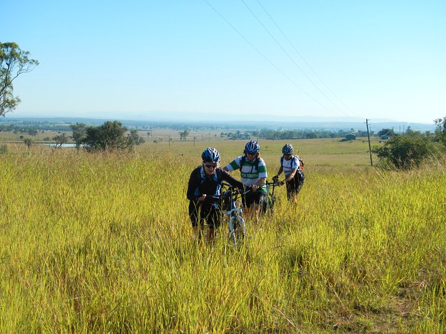
The aerial maps of this area show a track called “Sugarloaf Road”. From the air it looked like a nice track. Once got there, however, I quickly realized I was actually looking at a rock-strewn dry creek bed. It was almost impossible to ride over this natural rock garden, so we decided to push the bikes until we reached smoother terrain.


Creek Crossing

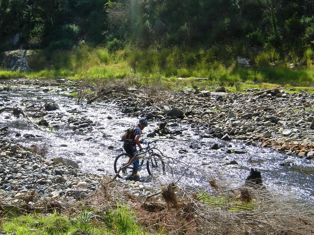
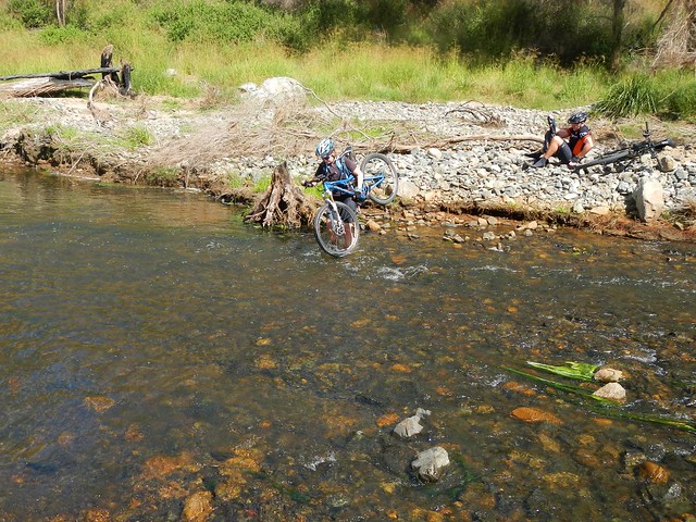
We had to cross Cressbrook Creek quite a few times.


Creek Crossing

I hate getting my feet wet, but today the water felt great!


Lunch Beside Cressbrook Creek

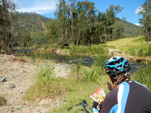
This was the slowest part of the trip. A lot of the track was un-rideable. I lost count of the number of times we had to cross the creek. Eventually we took a bit of a break and enjoyed our lunch on the banks of Cressbrook Creek.


Hoop Pine Scrub

Although it was slow-going along the creek, the views were stunning. This steep slope was covered in forests of Hoop Pines strewn with vines. This was no tame plantation but a wild scrub that had obviously been too steep to harvest in logging days.


A Road!

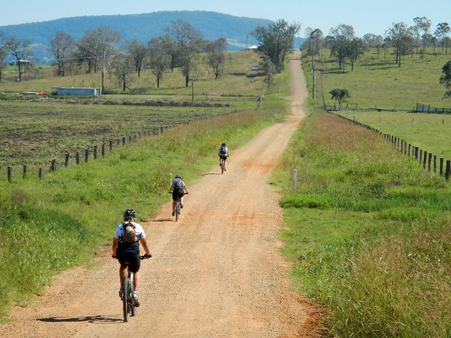
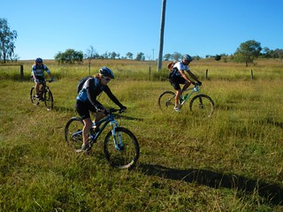
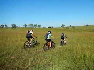
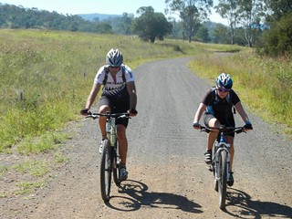
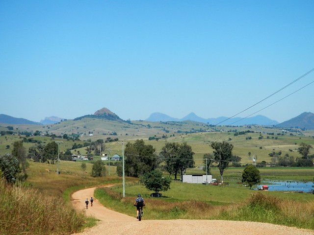
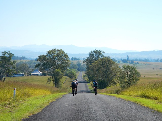
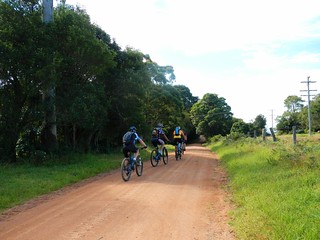
And after a couple of hours of slogging along a barely visible creekside track, we reached a lovely gravel road. It might have been hilly, but it was a joy to ride on compared to the rough terrain we’d had to cover so far.


Cressbrook Creek Road

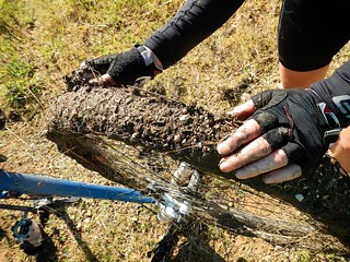
We eventually passed a few farms, and chased well-fed cattle along the road (can you see them in the picture?), while at the same time trying to avoid fresh cow-pats. If you get the stuff on your front tyre, it can often flick up into your face, which changes the whole “flavour” of the day :)


Kipper Creek Road

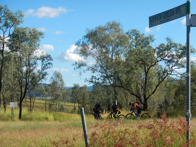
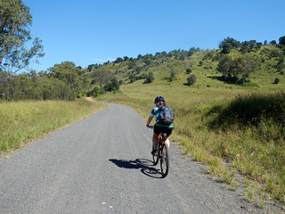
Our speed greatly improved as we progressed along the road. Eventually we joined Kipper Creek Road which is part of the Bicentennial National Trail – a 5,300km track stretching from Cooktown in North Queensland to Healesville in Victoria. For today, unfortunately, we only travelled on it a short way.


Where To?

From there we made our way along the paved road towards Esk on the Brisbane Valley Highway.


Rail Trail at Esk

The last leg of our trip was along the Brisbane Valley Rail Trail. This recreational track follows the course of a disused railway line, and is a much more enjoyable way to get into town on a bike than trying to battle cars on the highway.


Post-Ride Snack

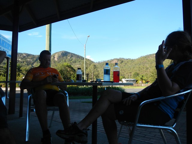
We eventually made it back to Esk and enjoyed a well-earned drink and snack at the local bakery before driving back up the hill to retrieve the other vehicles.


Magpie

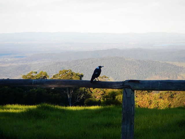
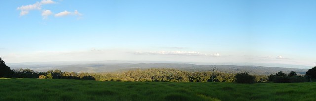
Sunset at Gus Beutel’s Lookout is spectacular.


We rode a total of about 65km in six and a half hours. Our track descended about 1,730 metres, but we had to climb over 1,100 metres in the process – so this was no easy downhill roll. I burned just under 3,000 kcal.


This is a tough ride through some really rough country.


It deserves a rating of 9 out of 10 on the tough-o-meter.


Don’t do this ride alone. Cressbrook Creek would be dangerous and impassable after rain, so the ride is best done in the cooler drier months.


Sunday, April 21, 2013

Boonah

Read More

Gorkow Rd

Have you ever made a mistake, only to discover later that it’s lucky you did because it actually saved you a lot of heart-ache?


That happened on our ride to Boonah today.


Our aim was to start at Peak Crossing, head south towards Boonah along some quiet gravel and bitumen roads, then head back to Boonah via the Western Trailhead at Mount Joyce. The added bonus of this ride is that it would link up a lot of disconnected rides on my map at the same time.


The only problem was that we took a wrong turn, and accidentally ended up doing our proposed loop in reverse (thank goodness).


Lost in the Grass

We followed the course along a quiet paved road, which turned into a quieter gravel road (“Oh this is nice” I muttered), which devolved into a disused vehicle track, which eventually degenerated into an overgrown unrideable “track” complete with soft sticky mud.

Farm field, Peak CrossingFarm field, Peak Crossing

To get away from the mud, we tried a detour along a track in an adjoining field – but the track disappeared and we had to get back into the quagmire.


Mud!Mud!

Eventually we got back to the comfort of a wide open gravel road, and were able to clean the bikes up a bit.


This wasn’t your ordinary mud. Normally, when my tyres get mud on them, I ride through the grass. This usually knocks the mud off. But in this case, the grass combined with the mud to make the raw materials for mud bricks. When we pulled at it, it came away from the tyres in a thick continuous layer like … mud cake. I’m sure if we had let it sit in the sun for a while we would have had a few bricks with which we could start building a house.


“Sorry about that, guys” I said. And then optimistically: “It should be a bit better now”.

Tough Hill Climb

Tough Hill Climb

I was wrong.


Our next track quickly devolved into a grassy jungle again, but this time we had the added joy of having to bash through it up-hill. Foolhardy soul that I was, I rode the bike up the hill, thorugh the grass, without being able to see the ground. Miraculously I survived, and was able to photograph the others coming up the hill.


How did this mistake save us heart-ache?


Two hours had passed. We had ridden less than ten kilometres. This had been the hardest part of the ride. By accident we had gotten it out of the way during the early part of the day while our legs were still fresh. I shudder to think how we would have managed if we had to contend with this sort of challenge at the end of the day when we would have been much more tired.


Note to self: Do the tough stuff first, and save the easy stuff till last.


Limestone

At the top of the hill, the grass thinned out, and we came across a large ridge of white limestone. I had a “eureka” moment as I realized why this locality is called “Limestone Ridges”. The track we were riding actually ran between two limestone quarries. In fact the whole area near Ipswich used to be called “Limestone” in the mid 19th century because of the white rock that could be quarried there. (Come to think of it, isn’t there a place near Ipswich called “White Rock” as well?)


Enjoying the View

After rolling down the otherside of the hill, we slowly made our way eastwards up into the Teviot Range. The long climb up up Wenzell Road offered some impressive views westwards towards Cunningham’s Gap.


Mocker Rd Descent

Eventually we reached the top of the hill. After another short bash through some long grass we eventually found the trail that would take us down the hill towards the Western Trailhead at Mount Joyce Recreation Park, near Lillybrook Station.


This was a really enjoyable descent. It was steep and rocky, and required a reasonable amount of technical ability to stay on the bike. It followed some wonderful single-tracks that had been worn by intrepid cattle that grazed on the side of the hill. For me, this track was the highlight of the ride. I’d love to include it as part of some future ride to Mount Joyce.


Old Beaudesert RdOld Beaudesert Rd

And after what seemed too short a time, we were down the other side, following Old Beaudesert Road along Teviot Brook.


This track has personal significance for me. It was where I rode with my (then) eleven year old son in the middle of the night, in the middle of winter after we’d got lost riding at Mount Joyce. In the light of day it seemed much more benign than it did back then.

Rifle Range Rd

There are some beautiful dirt roads out the back of Boonah…


Gorkow Rd

We made our way into town, soaking up the great views around us.


Flavour Cafe

I ate too much good food at “Flavours Cafe” in Boonah. Impressively, they have a supply of chain lube, paper towels, visor cleaner and compressed air – all free of charge. I think it’s because of the large numbers of motorcyclists who frequent the cafe. For future rides, it’s handy to know where you can get some free chain lube!


Hoya Rd

Hoya Road runs north out of Boonah. The Great Dividing Range to the west provides a picturesque backdrop to this steep climb. After my indulgent lunch, I was glad I took this one slowly.


Hoya Rd

I don’t know what his secret was, but the tough climbs never seemed to faze Dean at all.


Roadvale

Our route back to our starting point followed the hill tops for about 12 km. Although the road was straight, it was undulating. I lost count of the number of times we’d get to the top of one hill, roll down the other side, only to have to grind up another hill. The mountain views provided a pretty distraction from the hard work.


MTB Descent

I think we were all happy when the paved roads gave way to dirt, and we were able to let our tyres crunch through the gravel.


Beckwith Road

The last ten kilometres of the ride were the easiest. Because of our earlier mistake we were now able to roll back into town, and relax as we soaked up the views. I’m so glad we didn’t spent the last couple of hours trying to battle mud and overgrowth.


DeanNeil

BeccaPaul


We rode 70 km in about 7 hours. We climbed a total of about 1,250 metres, and I burned about 2,800 kcal.


Because of the ruggesd start, and the numerous climbs, I rate this one 9 out of 10 on the tough-o-metre. If we did this ride again, and left out the mudfest at the start, I’d rate it 8 out of 10.


Thanks Becca, Paul and Dean for a fun ride, and for sticking with me, even when things were looking a bit tough!