Please note: you can find a more up to date version of this blog at http://blog.neilennis.com

Sunday, May 25, 2014

Cannon Creek

Read More

Paul and Mount Barney

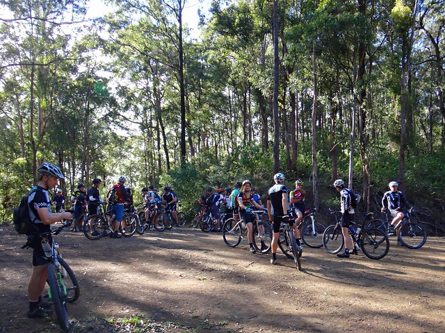
Every so often we’re lucky enough to do a ride which I’d call “Iconic” – something that reminds us how lucky we are to be able to explore this beautiful land on our bikes, and makes us want to bring friends back to see it with us.


I think today’s adventure through Cannon Creek in the “Scenic Rim” between Boonah and Rathdowney is one of those iconic rides.


Farm Fence

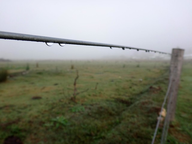
Apart from the stunning views, I had another motive for riding in this area – it closed a gap in my map between Boonah and Rathdowney – one that I had wanted to complete for several months.

Riding in Fog

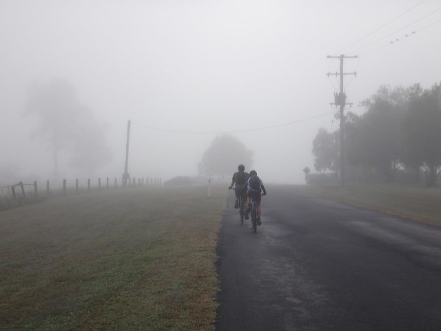
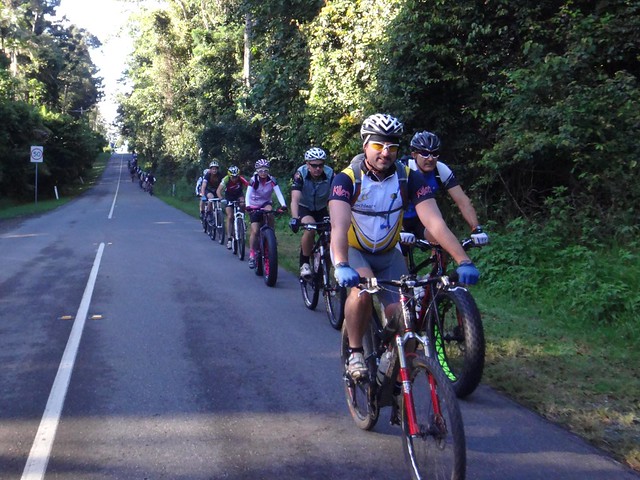
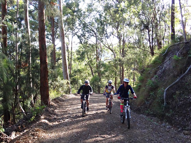
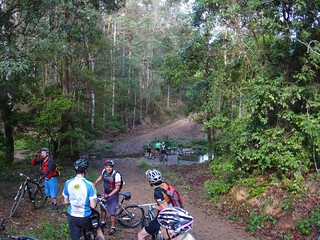
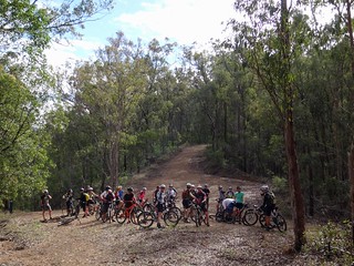
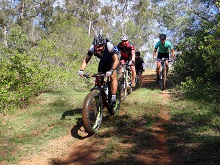
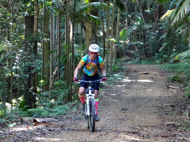
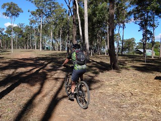
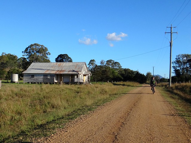
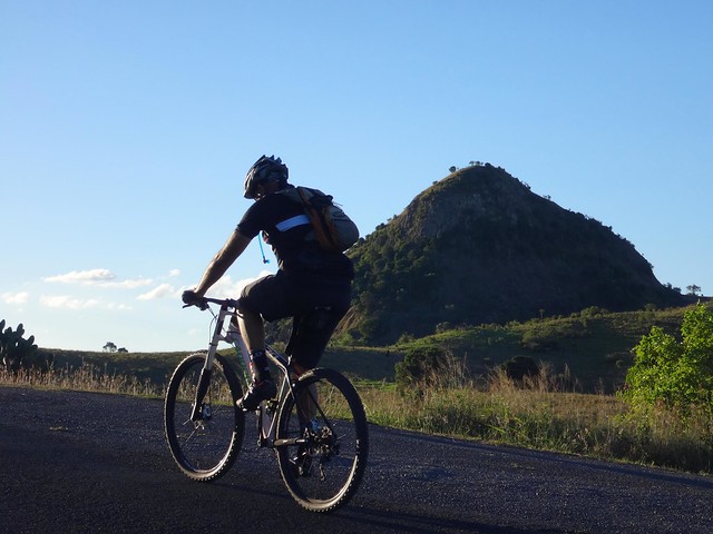
We set off on a damp foggy morning from Boonah and headed up into the hills near Allandale

Above the Clouds

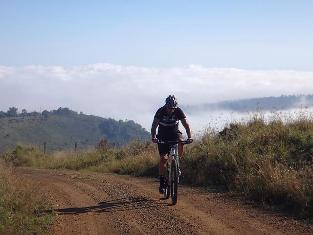
After half an hour of climbing up some very steep dirt roads, we found ourselves above the fog, with the bright autumn sun beaming down, and views to the horizon in every direction.


With relief I thought to myself, “Yes! We’ve come to the right place today.”


Geiger Road


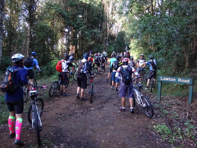
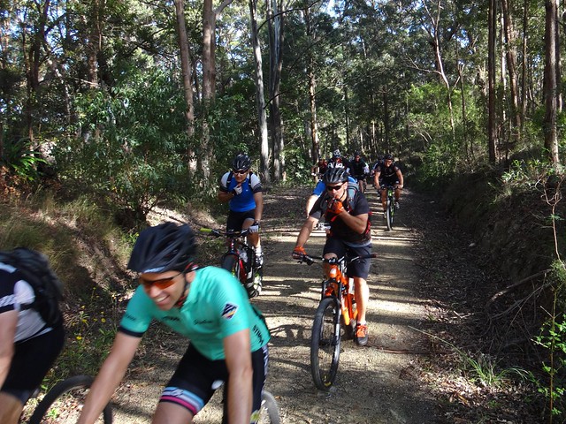
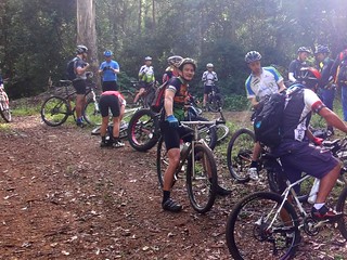
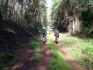
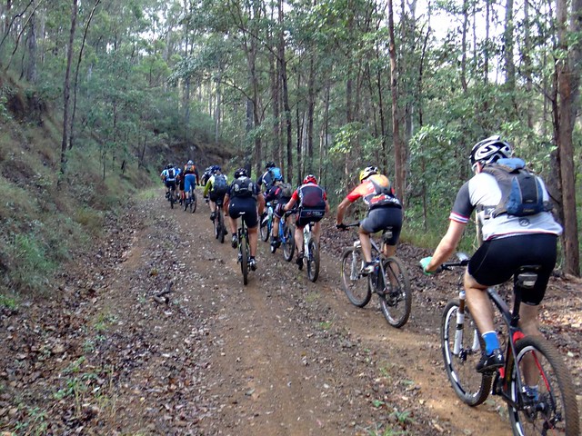
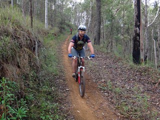
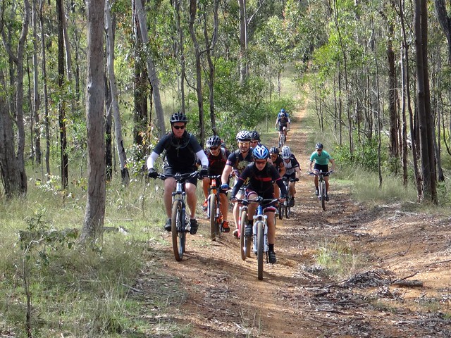
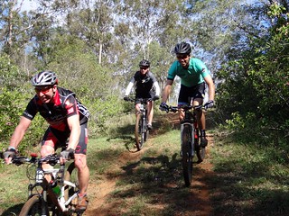
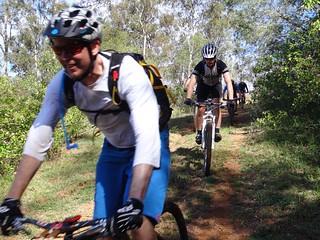
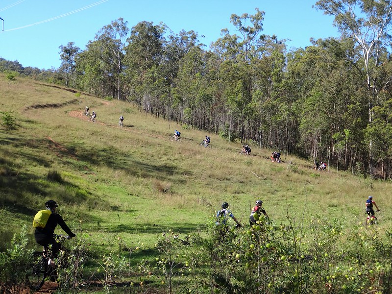
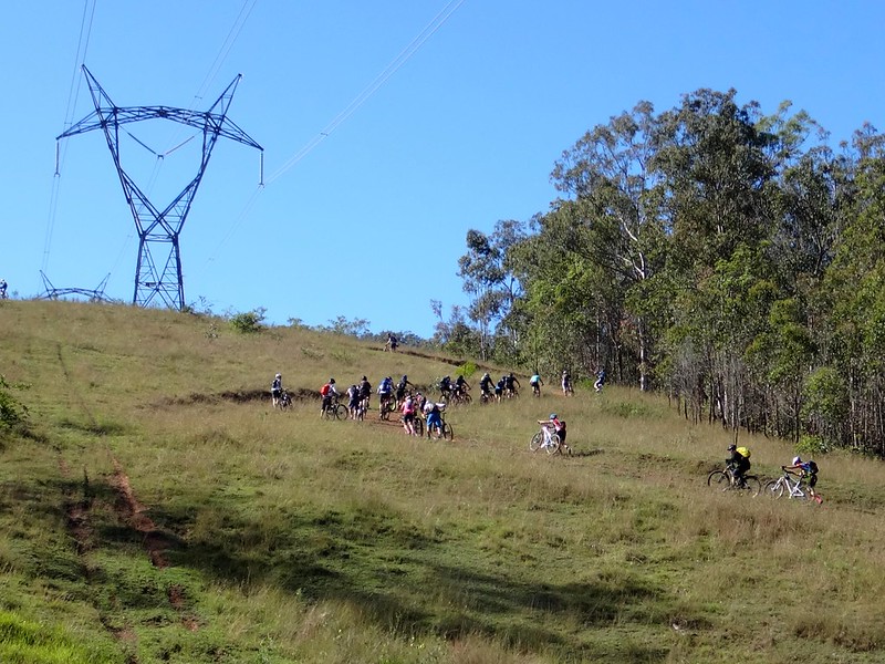
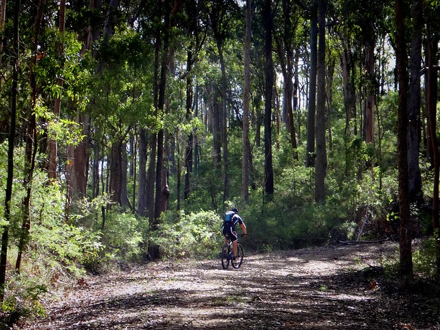
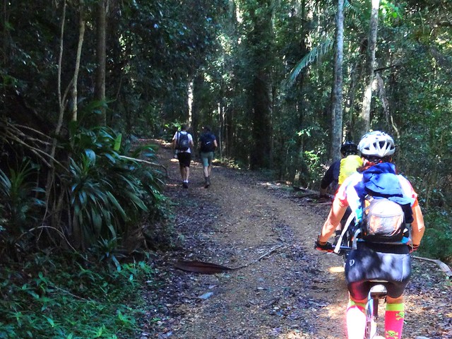
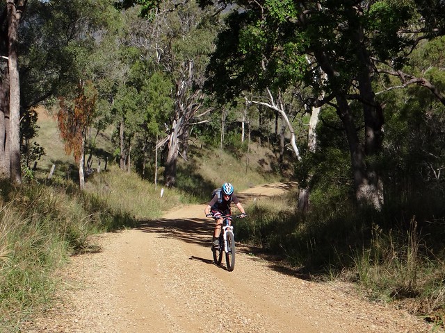
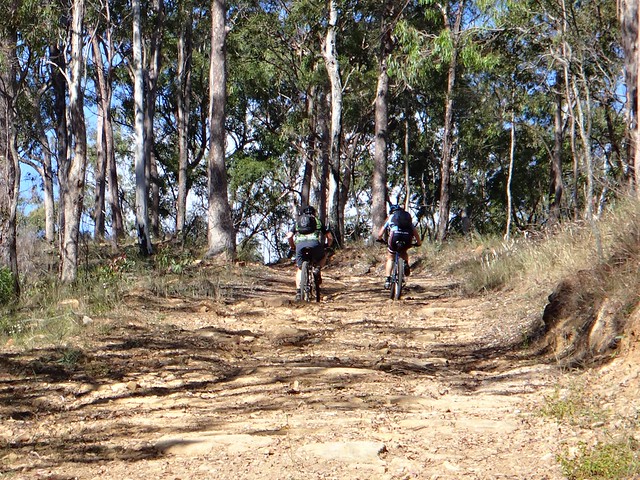
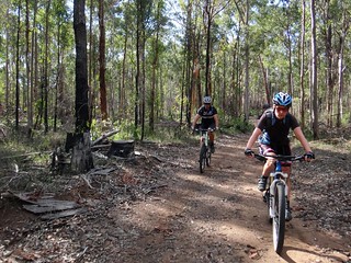
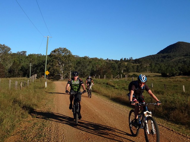
We rode through remote undulating country, following Geiger Road down some fast descents and up more challenging climbs.


Bridge Closed

Bridge Closed


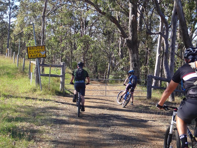
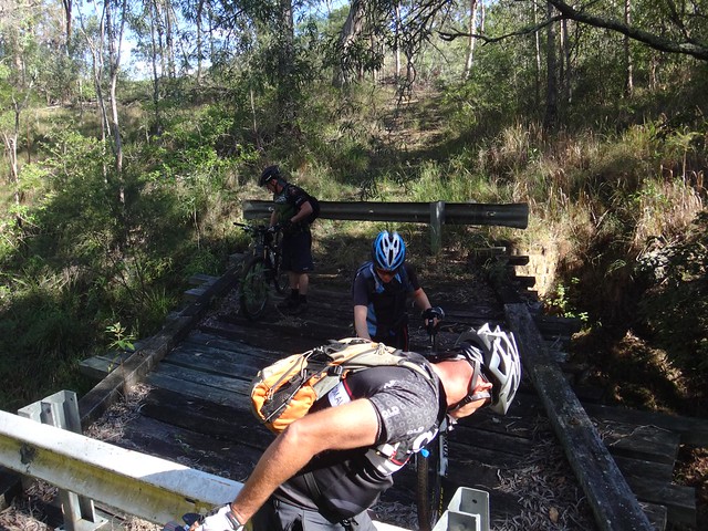
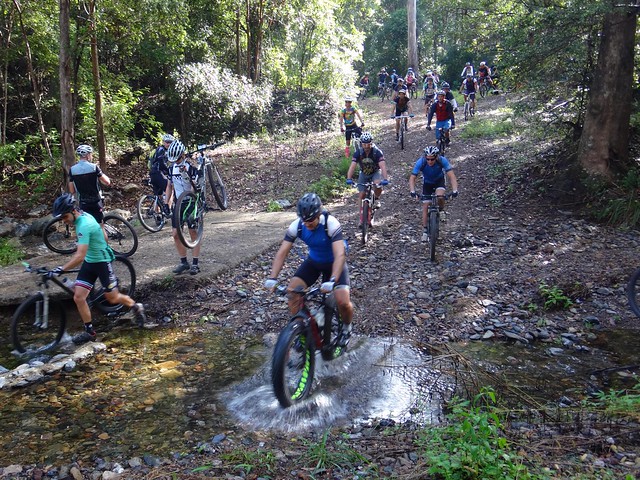
The great thing about riding a mountain bike in this sort of country is that signs like “Bridge Closed” don’t cause any problems. After making sure the path ahead was safe, we lifted the bikes over the barriers and continued on our way.


Geiger Road

Geiger Road


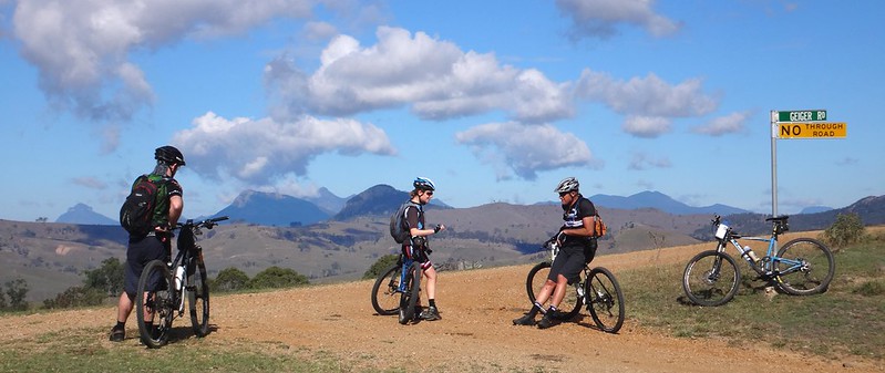
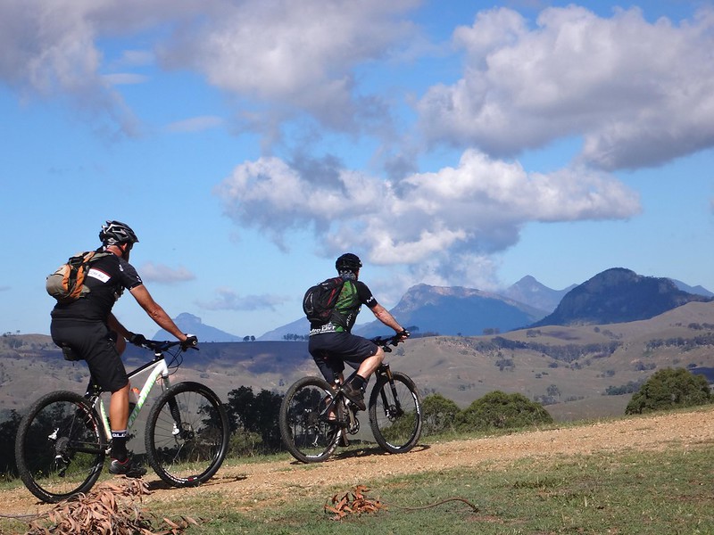
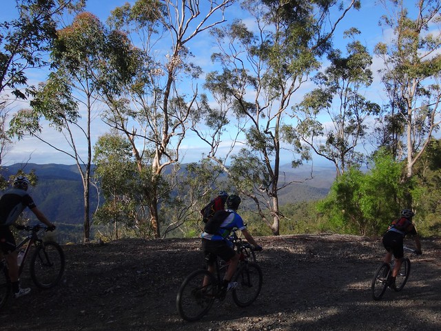
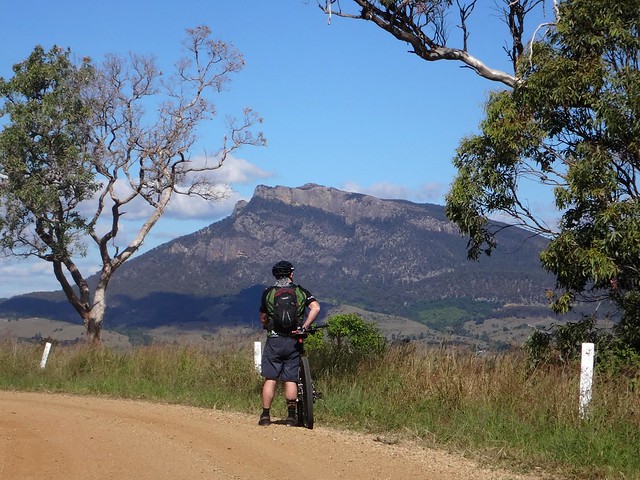
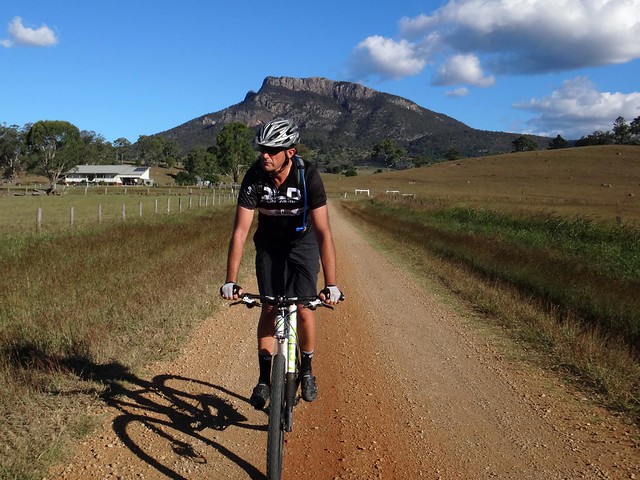
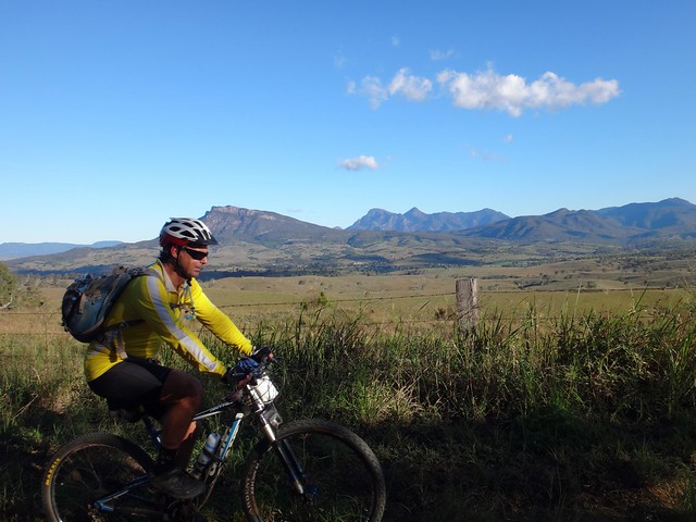
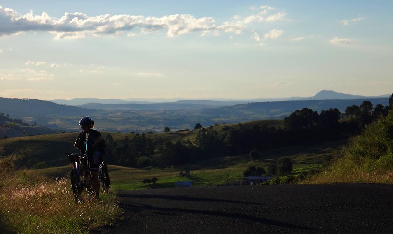
At the top of Geiger Road we were stunned by the view of the mountains to the south. Mounts Lindesay, Ernest, Barney and Maroon loomed over us impressively.


“You see that hill over there?” I said pointing to Knapps Peak off to the right, “We’re going to ride around the back of that, on a ridge between it and Mount Maroon.”


A couple of the others shook their heads. This was rough country and I think we were wondering if we had bitten off more than we could chew.


Darb and Paul MOTION


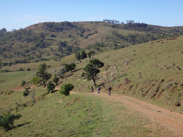
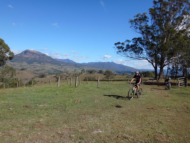
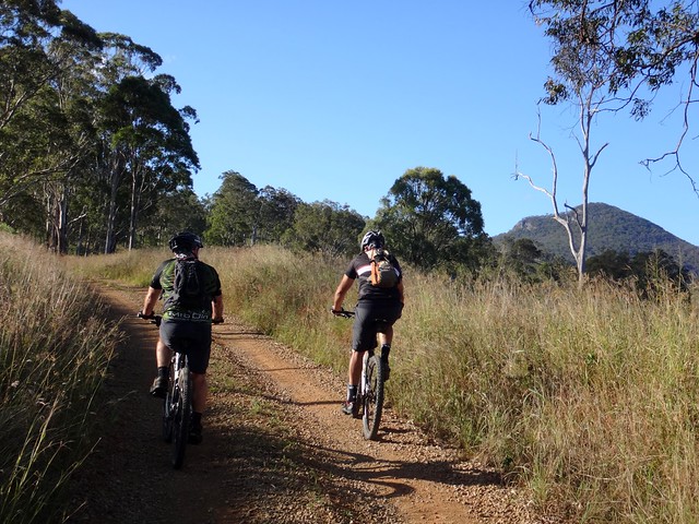
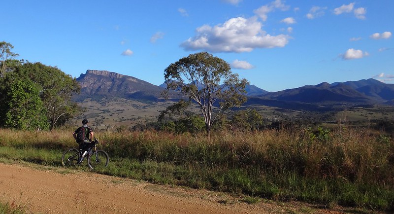
We felt like we were riding on top of the world as we cycled over the rolling plateu along Green Hills Road…


Green Hills Road


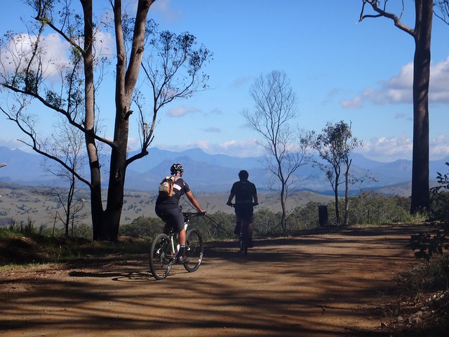
Every few minutes we slowed down or stopped to gawk at another impressive vista.


What a spectacular place!


Green Hills Road


Eventually we left the road to follow a road reserve down the hill. When I looked at it on the maps, this road reserve looked like it would be a bit more interesting than the alternative of just rolling the road….


Rock Garden


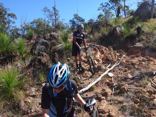
“Well this definitely isn’t boring” I said to Darb as we hopped over a rough rock garden that was too rugged to ride over.


Sometimes “Interesting” and “Difficult” go hand-in-hand.


Mount Maroon


After rejoining the dirt road, we headed south with the monolith of Mount Maroon growing larger ahead of us.


Hill Climb


Becca missed the turn-off and rolled down a long hill for a couple of kilometres.


As the rest of us waited at the top, I called her on the phone.


“You’ve gone too far. You’re going to have to ride up that hill,” I said to Becca.


If it was someone of lesser ability I think we would have changed the route to save them having to climb back up the hill. But Becca is competing in a tough 4-day race next week, and the rest of us are awestruck by her incredible fitness. So we rested at the crest and kindly let her do a bit of extra “training”.


To her great credit, she made it back at an impressive rate, and didn’t complain at all.


Ridge Road


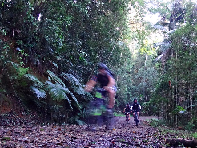
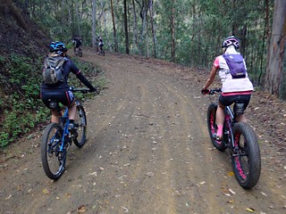
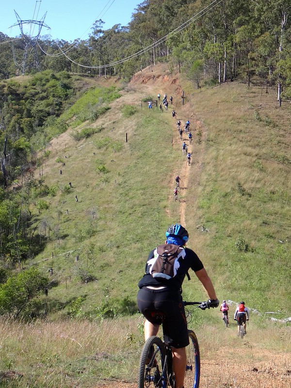
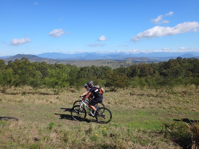
Although it’s called “Ridge Road”, it’s barely a farm track. We followed it eastwards around the back of Knapps Peak, through numerous farm gates, with the mountains looking down on us from the south.


Ridge RoadRidge Road


In places it was difficult to tell if we were on the road reserve, or on someone’s farm track, but we faithfully followed the course on our trusty GPS and stayed out of people’s front yards.


Ridge Road


Although the road followed a ridge, it was very steep in places. I tried, but ended pushing the bike up one hill, while I watched as Darb and Becca powered up. I would have yelled out encouragement but I was too puffed.


Ridge RoadGnome of Doom


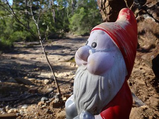
We eventually met up with some tracks we had ridden a month or two ago, and said “Hello” to a friendly gnome that we had met last time.


Water Refill

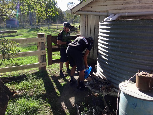
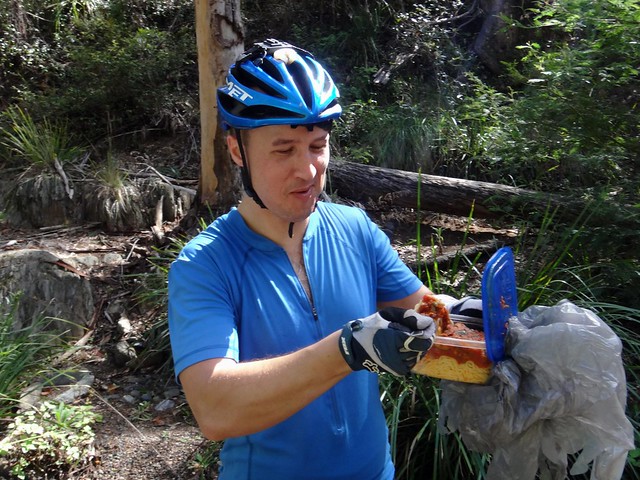
Although we had each taken 5 litres of water with us, we ran dry at the 50km mark. Thankfully a kind farmer let us refill at a rainwater tank.


It tasted good.


Mount Maroon


With water ample water, and tired legs, we left Maroon started the return trip to Boonah.


Hill Climb


It was a long way to the top. Becca had already accidentally done it once earlier in the day. Now it was our turn to grind up this steep two kilometre hill.


Darb Enjoys the View


The climb was very tiring so we took some time out at the top to enjoy the views and catch our breath…


Neil in the Hills


As the sun sank lower in the sky, the views grew more beautiful, but it also alerted us to the fact that we were running out of daylight, and we had a long way to go.


Cannon Creek

Cannon Creek


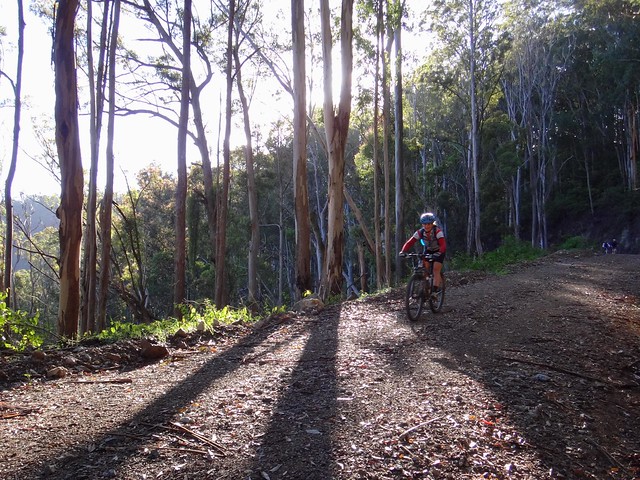
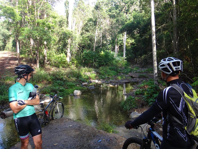
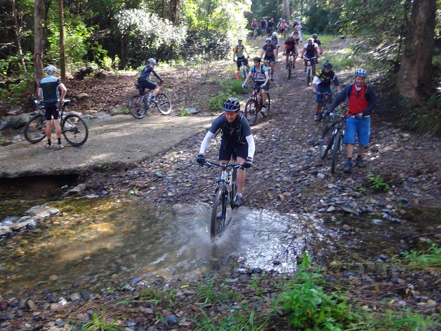
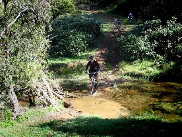
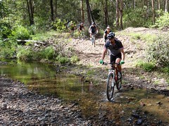
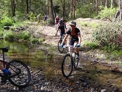
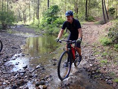
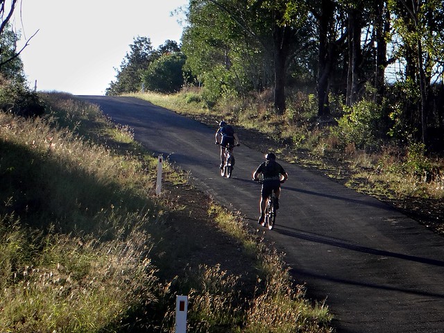
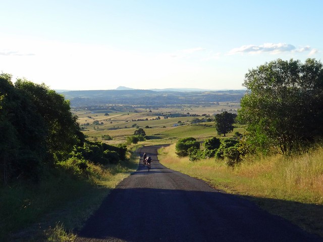
Back through Cannon Creek we rolled, thankful for the long easy descents that let us make up for lost time, and rest our legs at the same time.


Hill Climb

Sugarloaf


On long rides, even though the hills towards the end of the ride aren’t the biggest, they are still challenging.


On the Crest


As the sun edgeed towards the horizon, we crested the final big hill before Boonah…


Rolling Home


… and rolled back into towm: tired but happy.


All up we rode 85km in just over 8 hours, climbing about 2,000m in vertical ascent. I burned 4,650 kcal.


This ride rates 10 out of 10 on the tough-o-meter.


Don’t do it in Summer. Take plenty of water. Be prepared to fill up along the way.


If you look at the map of this ride, it’s basically two loops joined by a common section. You could do the top loop by itself as a 40km ride. By itself that would probably rate 8 out of 10 on the tough-o-meter, and would suit a larger group.


Thanks Becca, Darb and Paul for another memorable ride!


Sunday, May 18, 2014

England Creek

Read More

Steep Powerline Track

I love riding with large groups of friends, and was delighted when thirty eager riders turned up at the top of Mount Glorious for a tough ride.


The “Super V” trail starts in mountainous terrain at the top of the D’Aguilar Range, running all the way down to England creek, before a gruelling climb back up to the top. We thought we’d make this outing a little more interesting by adding an extra loop of hills and creeks.


The result was an exhausting but stunning adventure through one of South-East Queensland’s most scenic areas.


Northbrook Parkway

Lawton Road


We left the paved road after a few minutes and turned into Lawton Road. Despite bureau forecasts of rain, this was a perfect day with blue skies and a cool breeze – perfect for exploring new places on a mountain bike!


Lawton Road

Lawton Road drops sharply. As I stood in the leaf-litter by the side of the track dozens of bikes whizzed past me in a blur of colour.


Northbrook Mountain

Northbrook Mountain


One of the tenets of Mountain Biking is that if you borrow from the Gravity Gods, you eventually have to repay them. After our quick roll down the hill, the first climb of the day to Northbrook mountain spread the group out as we worked back up the hill.


Northbrook Mountain


At the top, a happy group of riders waited for everyone to catch up.


This would be the pattern for the day. The stronger riders reaching the crests of the hill first, then patiently waiting till we could all regroup.


Northbrook Mountain


Together, we started our long roll down from the top of Northbrook Mountain.


Northbrook Mountain


Most of us slowed briefly during the rapid descent to soak up the breathtaking views of the D’Aguilar Range.


England CreekEngland Creek Road

England Creek


England Creek has several branches at the bottom of the range. This was one of many times we would cross different branches of the creek.


England Creek “Bush Camp” is a popular camping spot for hikers in the National Park. Today we just stopped for a few minutes to regroup and have a quick snack.


England Creek

England Creek


We then splashed through the creek for our second climb of the day up to the cross-roads at the bottom of Joyners Ridge Road.


England Creek RoadEngland Creek Road

England Creek Road


I grinned to myself as I listed to the tinkle of bellbirds in the trees, mixed with the crunch of tyres on gravel, and the happy chatter of riders talking to each other as we rode up the hill. At that point I wouldn’t have wanted to be anywhere else.


Crossroads - Joyners RidgeEngland Creek Road


We regrouped at the crossroads before heading west.


Although it’s still called “England Creek Road”, the trail here is more of a steep single-track following the undulations down the range.


England Creek Road


Like passengers on a roller-coaster we rolled down a few steep sections before grinding our way up a few inclines – but slowly losing altitude and taking out another huge loan from the Gravity Gods that would eventually have to be repaid.


England Creek RoadEngland Creek Road

England Creek RoadEngland Creek Road

England Creek


Down, down we rollwed until we finally crossed England Creek for a second time.


Steep Powerline Track

Steep Powerline Track


At the bottom of the range, it was time to repay our debt.


Some of the hills are huge.


What impressed me most was guys like Lance and Glen who rode up those climbs on single-speed bikes (no gears) while many others had to walk.


Steep Powerline Track


The climb was relentless. I watched my riding buddies grind back up the range, like ants scurrying up the side of an anthill.


England Creek

England CreekEngland CreekEngland Creek


And then a brief respite as we coasted downwards to cross England Creek for a third time.


Pasta - The Food of Champions


A few of us took the opportunity to have a break and a bit to eat. Chris had a feast on pasta – “The food of champions”. Maybe that’s why he got to the finish before me :)


Joyners Ridge Road


The last climb of the day was up Joyners Ridge Road.


From the creek to the top it climbs 730 metres in the space of ten kilometres. It’s not super steep, but it’s a long way to the top.


Climbs like this at the end of a long ride tend to spread everyone out as they dig deep to make it back at their own pace.


Joyners Ridge Road

Joyners Ridge Road


The rainforest at the top of Joyners Ridge is always a welcome site. For me it means the end of the long climb, and a chance to catch my breath.


As I rode at the back with Sue and Darb, we passed a few hikers.


“Are our friends very far ahead of us?” I asked.


“They passed us twenty minutes ago”, the hikers replied.


JoynersRidgeRoad-MOTION


Ah well… there was no rush. We just enjoyed the lush rainforest as we rolled through it.


Maiala Cafe


We eventually caught up with everyone at Maiala cafe where we had a well-earned lunch.


All up we rode about 36km climbing about 1,500m in vertical ascent.


It took me just under 5 hours, and I burned 2,600 kcal.


This is a tough ride – even in cool weather.


I’m rating it 9 out of 10 on the tough-o-meter. I wouldn’t recommend doing this in summer.


Thanks everyone for a great day out.


Congratulations to Nick, Becca and Adam who rode up from Bunyaville making this a 130km ride with over 4,500m of ascent in 8 hours. I stand in awe of the effort you guys put in.


And well-done to Lance and Glen for surviving this ride on single-speed bikes. That takes a lot of strength. I don’t know how you did it!


Here’s Darb’s video of our fun…