

Following a large loop through the headwaters of the Stanely River, today’s adventure covered the rough but stunning country in the southern foothills of the Blackall Range near Maleny.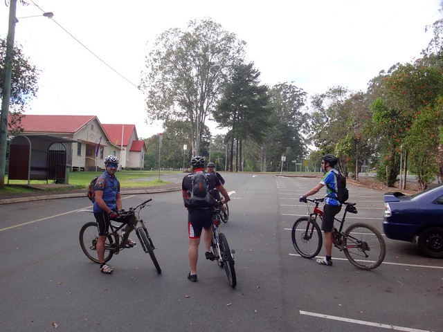
Overnight the season had abruptly changed from endless Summer to late Autumn as the brisk winds pushed the temperatures down.
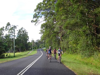
We started our ride in Peachester, with a relaxed roll along the quiet paved roads north of town.
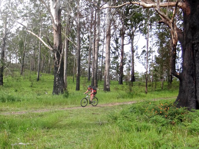
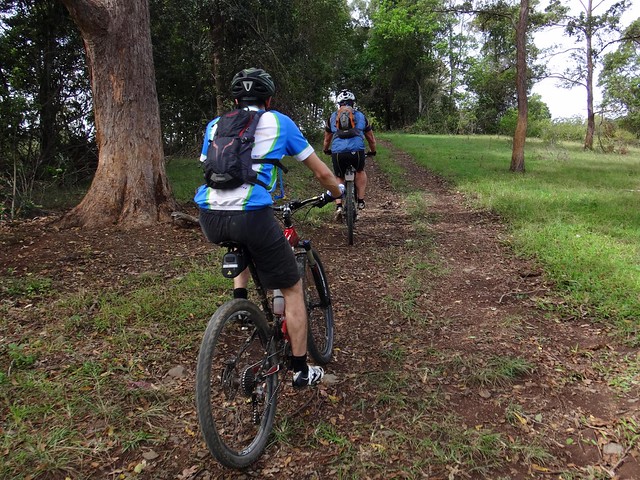
We’ve been along this twisty road a few times but today was the first time we’d actually gone off-road to explore the trails in Crohamhurst State Forest.
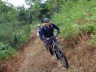

Despite the recent rain, we were surprised how rideable the trails were – although they were quite steep in places.
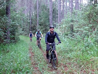
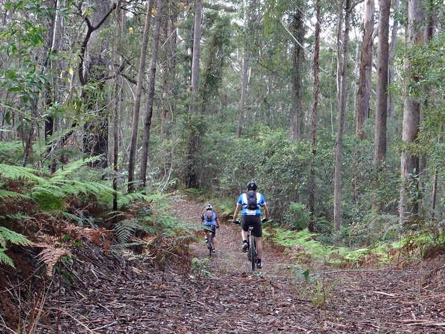
After skidding down one or two precarious descents, we enjoyed some quiet paths in between plantation pines.
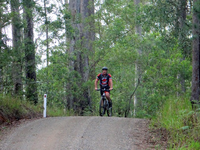
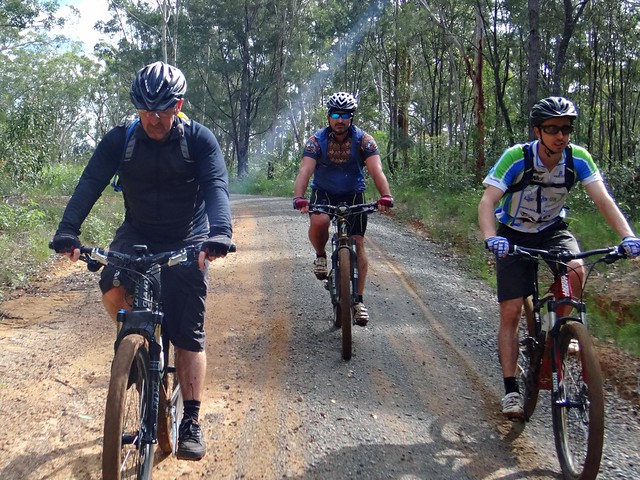
We then rejoined the gravel road for a few granny-gear climbs as it pushed upwards into the Blackall Range.
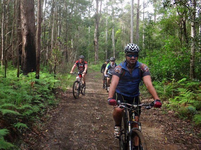
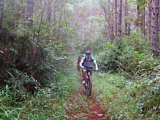
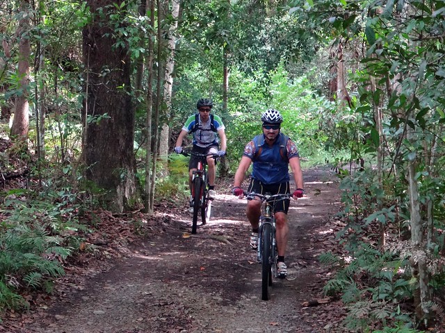
The track dropped us down to Ewen Creek – one of the tributaries of the Stanley River. We enjoyed the brief respite of the flat leafy trails before the “big climb” up the shute.
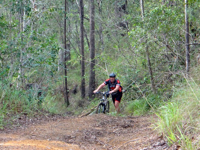
McCarthys Shute Road follows an old logging “shute” (or “chute”) up the hill to Maleny. Loggers would slide sawn logs down the slippery clay track. Despite its sharp gradient, and the abundance of clay, it is not impossible to ride – although some riders might prefer to push their bikes.
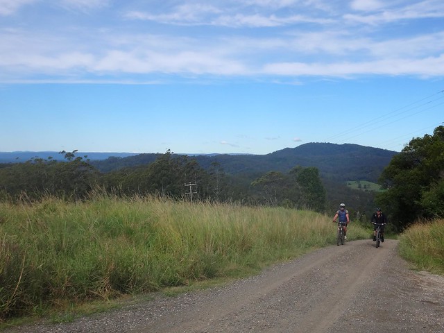
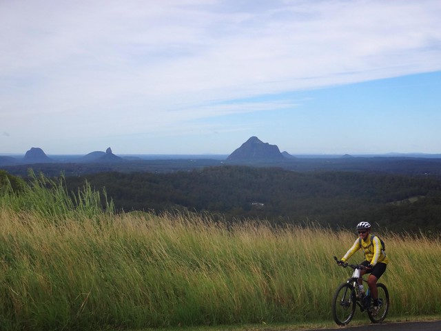
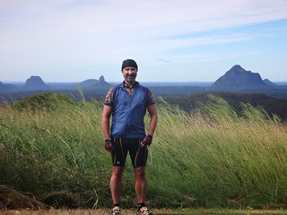
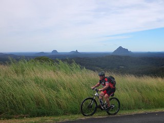
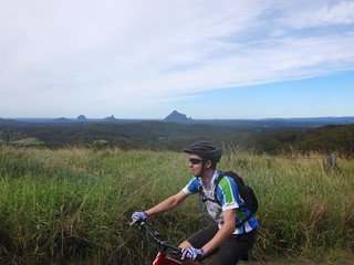
The road eventually emerged from the forest, offering a great view of the Glasshouse Mountains to the south, as we worked our way up the hill.

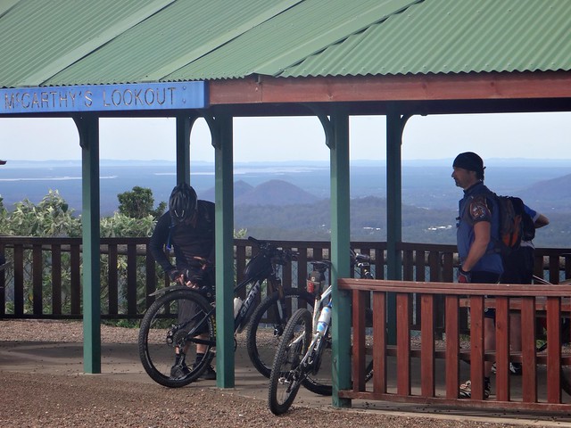
When we finally reached the top, we had the lookout to ourselves. It was much cooler at the top than when I was last here a couple of weeks ago.
“It’s all downhill from here”, I thought to myself as we rolled back towards River Road. I was very wrong…
On the map, there is a road reserve back down the mountain.
In reality there is not.
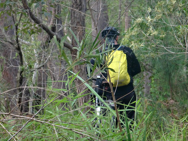
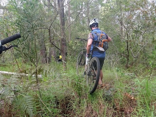
For a few hundred metres we bashed through thick scrub on the edge of cliff-like drops as we searched for a track. Unbeknownst to him, we all secretly nominated Darb to lead the way – he fearlessly pushed down the slope, sometimes carrying his bike as we followed.
We were delighted when we eventually we found track. It might have been rough and strewn with trees, but it was mostly rideable…
… so we rolled down the hill to the quiet hamlet of Wootha on the banks of the Stanley River.
Ever the informative tour guid I told Darb, “This river flows all the way down to Wivenhoe Dam and meets the Brisbane River”.
He was surprised.
“How does it get around the mountain range?” he asked.
I explained that the Stanley River meanders all over the place, visiting Peachester, Commissioners Flats, Stanmore and Woodford before entering Somerset Dam near Kilcoy.
The laws of gravity ingeniously guide it around all the hills.
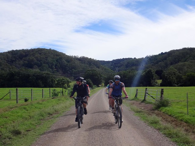
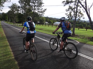
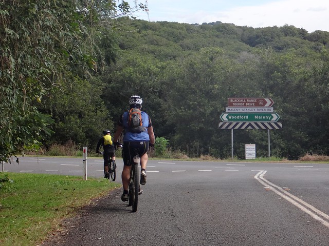
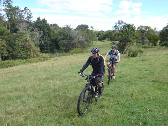
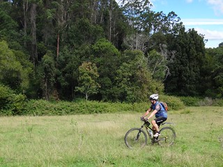
After the hard work getting up and down the hill, it was a relief to roll along some flat roads for a while.
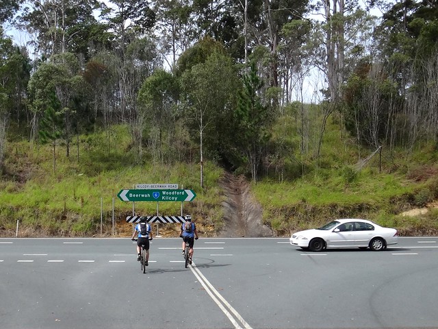
Simon left us at this point and made his way back to Peachester while we pushed further towards the upper reaches of the Stanley River.
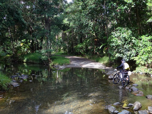
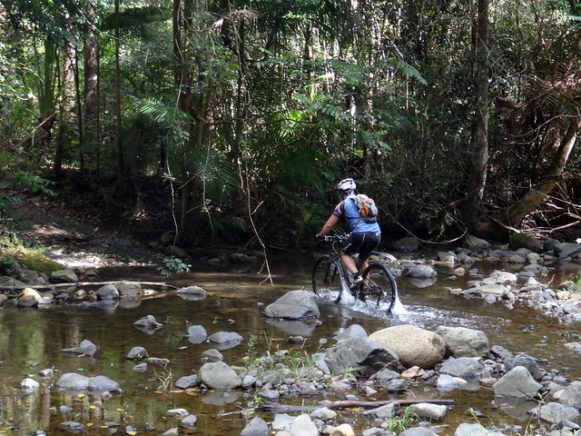
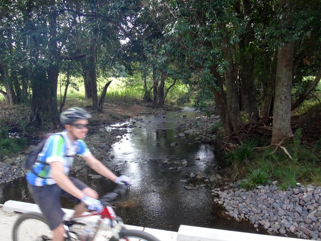
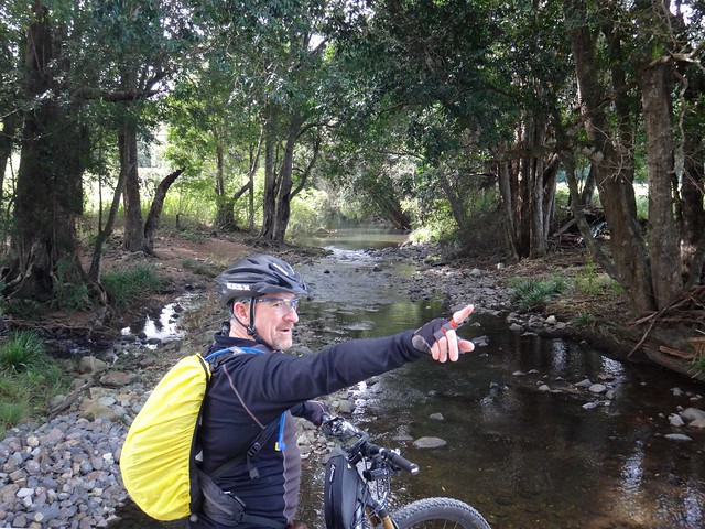
The sign said “Creek Crossing Closed” – but our bikes didn’t seem to mind the water.
“This is lovely”, I gushed.
I’m always amazed at the beautiful places we find each week.
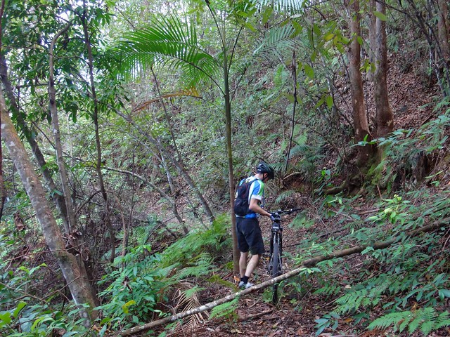
We then faced another huge “hike a bike” climb. I found it difficult even to walk up. It was a relief to make it to the top of yet another hill.
And while the Stanley River politley obeyed the laws of gravity, snaking through farms to the east, we decided to take a short-cut, rocketing down the range along the tarmac to Commissioners Flats. The blustery headwinds were surprisingly strong on the way down, but we all managed to stay on the bikes.
Pages Road at Commissioners Flats is another one of those “roads” that appears on maps, but in reality is barely a pair of tyre imprints in a farm paddock. Thankfully we were able to follow the course via GPS as we proceeded towards the Glasshouse Mountains National Park.
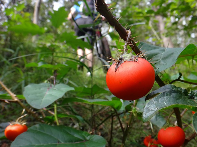
We had to bash through the bush again, and discovered some unusual plants along the way. Although it looked like a tomato, I decided the spiny branches were natures way of saying “Do not eat”, so I left it alone.
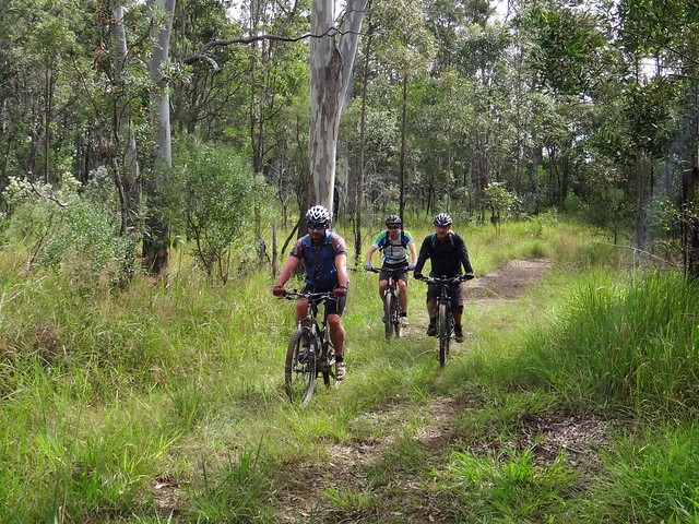
We eventually met up with some familiar tracks through the Glasshouse Mountains forests.
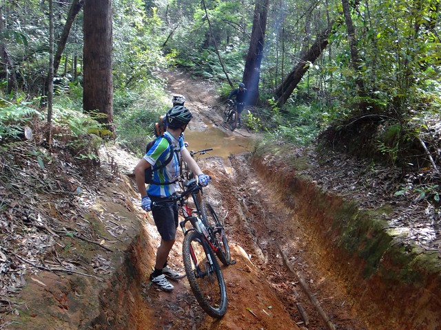
This is one place where wet weather can slow you down.
The clay soil easily turns to thick mud and we were very lucky to only encounter it in a couple of places.
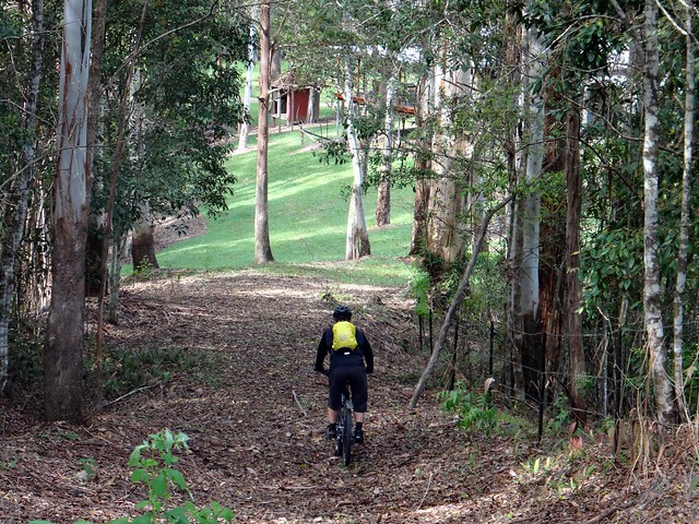
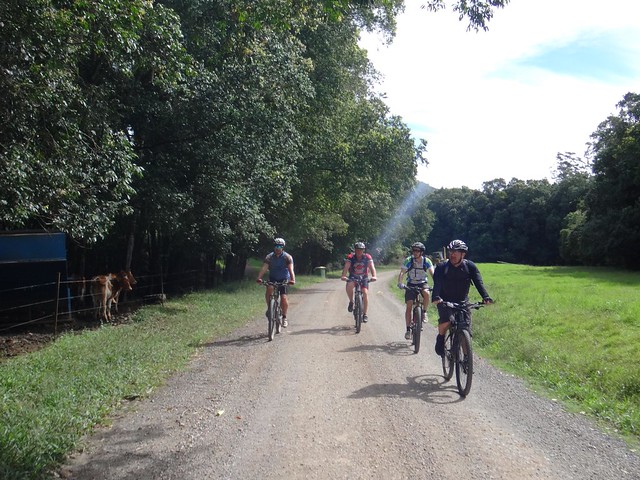
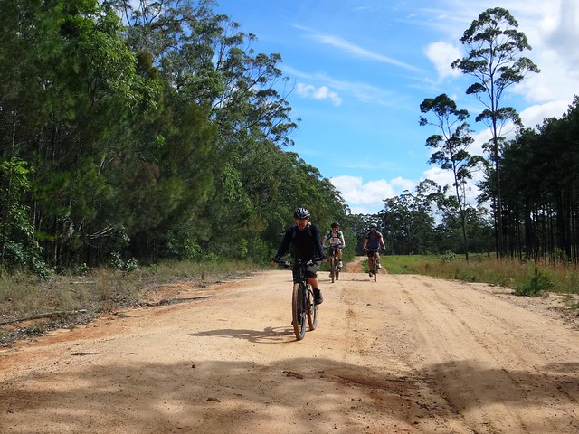
Eventually we met Range Road and made our way back to our starting point in Peachester for a well-earned lunch.
All up we rode 41km in about five and a half hours including breaks.
We climbed about 1,050m in vertical ascent, and I burned about 2,500 kcal.
I’ll rate this ride 8 out of 10 on the tough-o-meter. It would be much more difficult in warmer weather.
Finding an easier track down River Road would make this an easier ride too.
Thanks Darb, Simon, Mike and Harvey for a great ride!


No comments:
Post a Comment