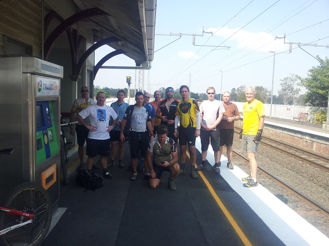
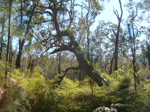
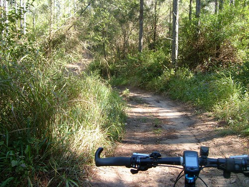
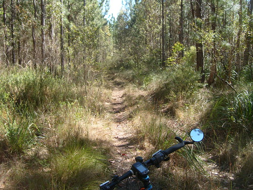
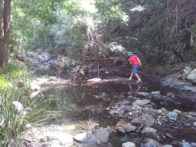
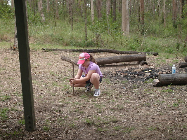
Here’s some more photos that my friend, Andrew MacDonald, took of our ride to Walloon yesterday. Thanks for letting me share your pics, Andrew ![]()


Sunday, September 25, 2011
Wall Of Dirt – More Pics
Read More
Saturday, September 24, 2011
The Wall of Dirt
Read More
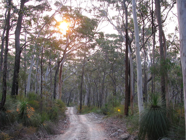
Today I rode to Walloon (west of Ipswich) via D’Aguilar National Park with some friends from MTBDirt.com.
One of the highlights of the ride was the “King of the Hill” contest to see who could ride furthest up a terrible hill we’ve dubbed “The Wall of Dirt”. Tony (“Darb”) won the contest narrowly but he only managed to get part way up the start of this hill, and everyone else didn’t even make that.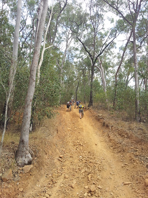
After that, we all had to scramble up the Wall, pushing our bikes.
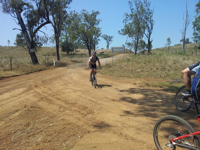
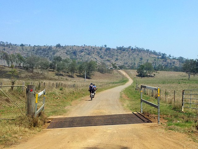
After finally getting out of the mountains, the trail dropped us out in the middle of Banks Creek – a farming area nestled in among the hills, with miles of dirt roads.
There were 15 of us in all. With a large group it was difficult to keep everyone together. If you look carefully, you can see the “Pack” of riders off in the distance with a couple of the other riders chasing them.
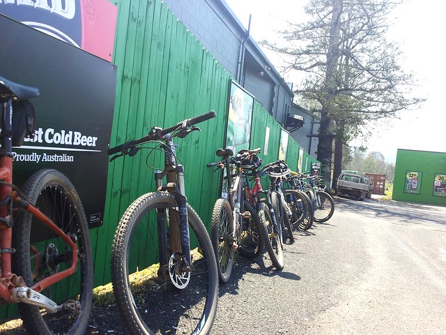
Parking space for the bikes was limited once we got to the Fernvale Bakery.
The food and drinks hardly touched the sides on the way down.
Thanks everyone for a great ride. I really enjoyed spending the day with you.
I’m grateful to live in such a beautiful place.
All up, almost 90km with about 1,750m of vertical ascent, and about 4,750 kcal burned.
It was a hot day, and the Wall of Dirt was really tough, so I’m giving this one 9 out of 10 on the tough-o-meter.
Sunday, September 18, 2011
The Mountains Are Calling and I Must Go
Read More
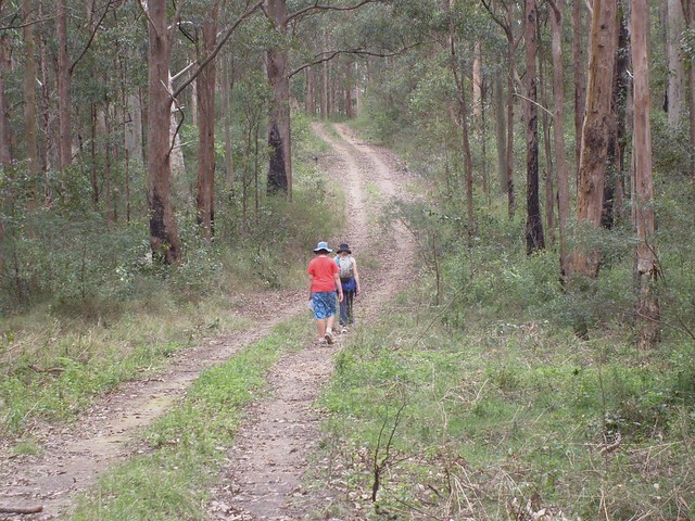
I took the family for a hike at Mt Mee today, along the Somerset Track. It’s a 13km walk to a sheer drop that looks westward over the valley to Somerset Dam.
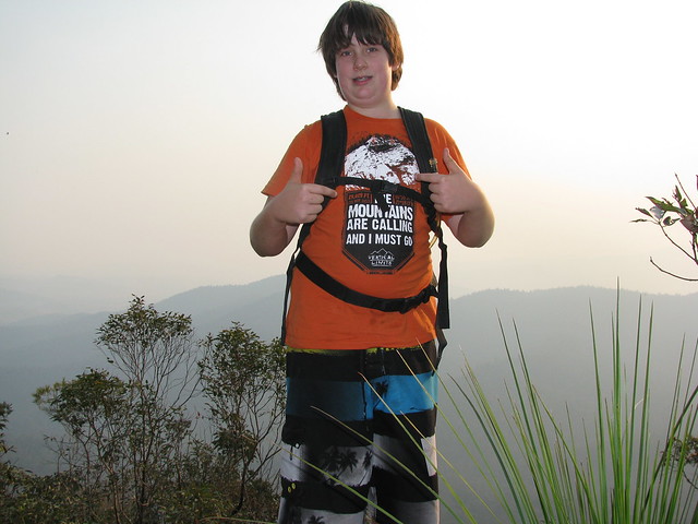
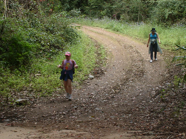
Harrison’s shirt says it all: “The mountains are calling and I must go”. The only problem was, in my enthusiasm to “go”, I didn’t take into account that 13 km is a long way for some people, especially 9 year old girls with short legs:
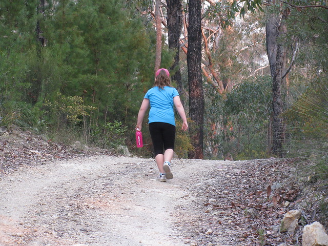
I can’t think of any other kids of her age who would walk so far. Fantastic effort, Lilly, you’re amazing!
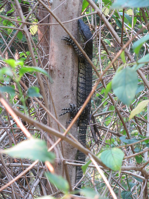
A goanna tries to be inconspicuous as we walk by.
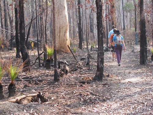
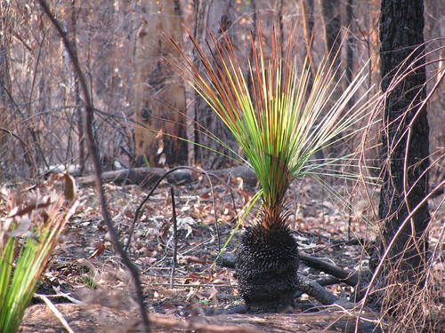
I think the rangers must have been burning back recently – either that or there has been a fire because the greenery of the forest suddenly gave way to burnt undergrowth with green shoots poking through. Much native Australian flora, including these Grass Trees, regenerates after fire.
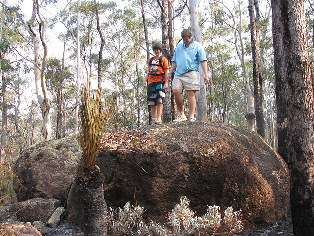
Sam and Harrison on a huge rock we passed.
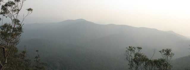
The panorama from the lookout.
Lilly, darling, I promise I won’t make you walk so far again.
Saturday, September 17, 2011
Tour de Glasshouse
Read More
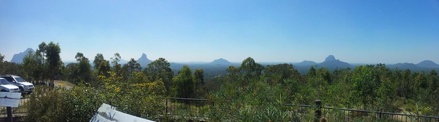
Well it wasn’t a race, like other Tour de somethings, but it was a tour on a bike, and it was spectacular.
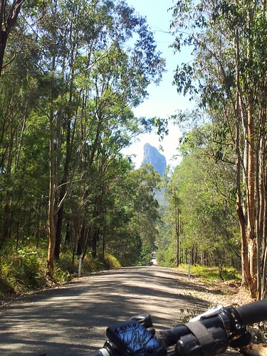
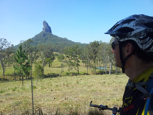
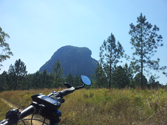
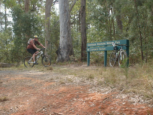
The Glasshouse Mountains looked stunning today in the early summer weather. Whatever happened to Spring? This is a really special place. It’s even more special when you think about the Gubbi Gubbi / Kabi legends of the place as you move around it. Basically they’re an ancient family, with a mum (Beerwah) a dad (Tibrogargan), lots of kids (the other mountains), a baby on the way (Beerwah is looking pretty big), and a long dramatic history. I won’t recount it here, but if you ever visit the place, it might be worthwhile reading up on the legends beforehand.
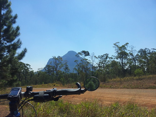
Here’s Mount Beerwah from a couple of different angles. There are some fun downhill tracks near Mount Beerwah. Like many of the dirt tracks in the area they have ruts from the many four wheel drives and motorbikes that use the area, which makes riding it on a mountain bike a bit of a challenge.
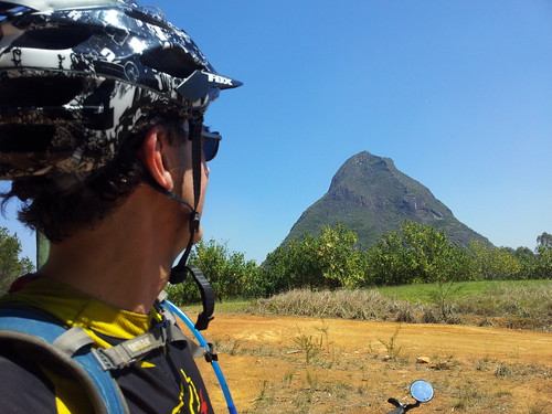
The downhill trails near Mount Coonowrin are really steep too. I was very thankful for good front shock-absorbers. If not for them I’m sure I would have gone over the bars in a couple of places.
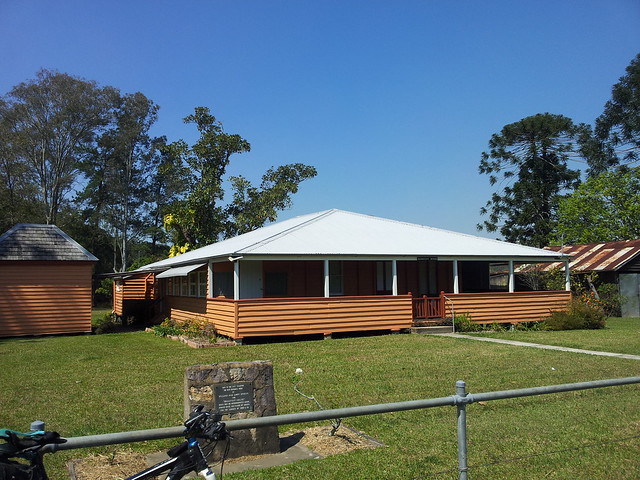
I had to ride along the bitumen for about 4km to get to some more trails, and was delighted to come across Bankfoot House. It was built in the 1860′s, and was used as a stage post for the Cobb and Co service for people travelling to Gympie to “strike it rich” in the gold rush. This road is called “Old Gympie Road” and is part of an old road stretching from Brisbane to Gympie through places like Kedron, Petrie, Kallangur, Caboolture… At some places along the route it’s still called “Gympie Road” or “Old Gympie Road”, but you won’t see many stage coaches on it these days.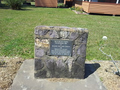
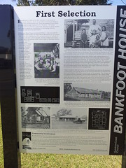
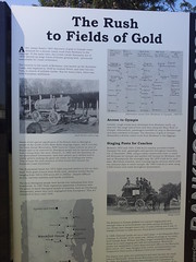
More info about Bankfoot House.
According to Gubbi Gubbi legend, Father Tibrogargan has many children, with one on the way. He reminds me of the cares, responsibilities, joys and sorrows of fatherhood.
With a hunched back like that, you’d think he had a lot of worries!
All up about 38km and 2,400 kcal in just under 3 hours. This one rates 8 out of 10 on the tough-o-meter because of one or two gnarly climbs, and one particularly knuckle-whitening descent near Mount Coonowrin.
10 out of 10 for views though ![]()
Saturday, September 10, 2011
Pine Forest
Read More
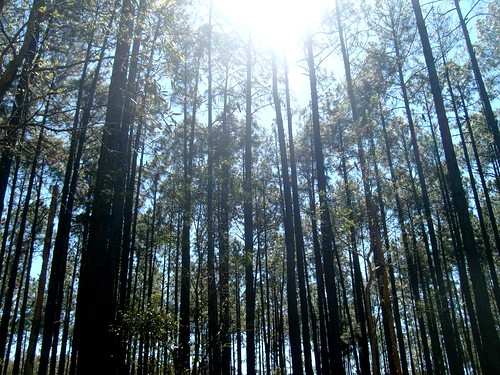
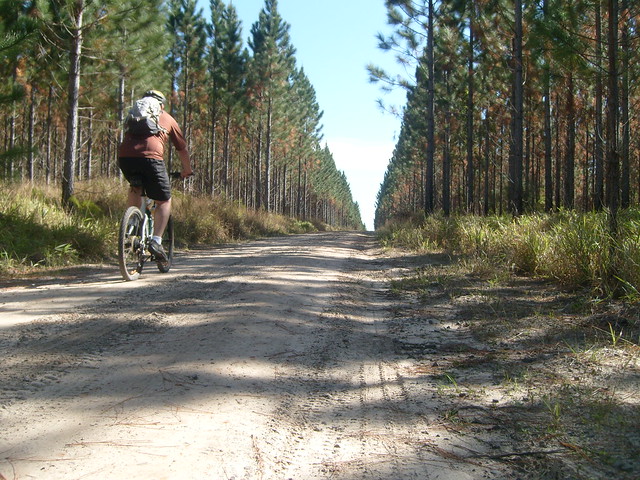
Last week I complained about how monotonous Pine Plantation Forests can be to ride through. Today I thought I’d rectify that by exploring the Beerburrum Pine Plantation for a few hours to see if I could find some more interesting tracks.
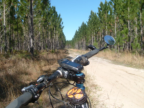
You’d be forgiven for thinking that they all look like this, with long straight dirt roads and rows of pine trees, but that’s not the case.
Some of the land bordering creeks and swamps is unsuitable for plantation timber, so it usually is just left as is – an oasis of biodiversity within a larger monoculture of slash pine. Riding along the borders of these sections I often found twisty narrow little tracks which were much more fun to ride on. Because of the extra grass, the tracks were less muddy than the big wide dirt roads.
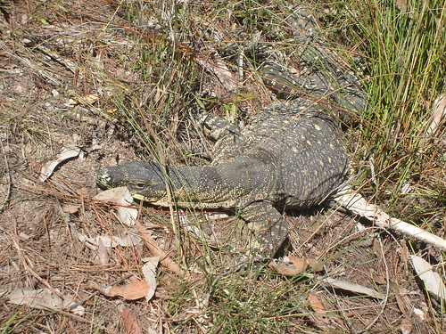
This was another section of pine forest bordering a creek. While trying to avoid some puddles, I looked down at my feet and spotted this magnificent looking Lace Monitor, or Goanna. He didn’t move a muscle – just stared at me and hoped I’d eventually go away (which I did).
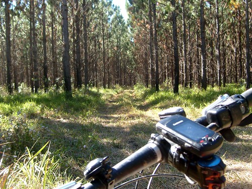
In between the large straight roads, there are myriads of smaller tracks like these. Some grassy, some just two lines of vehicle tracks. They’re all fun to ride – it just takes a bit of curiosity to find them.
Today I rode about 54km in almost 4 hours. I didn’t rush it – it was nice just to take it easy and see what I could discover. The tracks were mostly flat, and easy to ride. I hardly raised a sweat, so I’m giving this one 5 out of 10 on the tough-o-meter. But for enjoyment, I’d say it’s well worth the time.
Sunday, September 04, 2011
Scrub Road
Read More
Liz asked me what I wanted for a Father’s Day present, and I said “A bush walk”. So today we hiked along Scrub Road. Basically it’s a big “vee” shaped road – steep down for 2km, then steep up the other side to the South Boundary Road Camp. Then turn around and repeat in the other direction.
At the bottom we had a great time hopping around the rocks in the creek looking for animals.
We stopped at the water tank / shelter on South Boundary Road for a bite to eat. Lilly thought she’d continue the camping theme by rubbing two sticks together. Thankfully no fire ensued.
About 8km in about 2 hours. A lovely walk with the family. Thanks for the wonderful present everyone ![]()
Saturday, September 03, 2011
Mooloolah
Read More
I thought I’d try another A to B ride where we rode between two points, and caught the train back. This let me cover more distance, and allowed me to scout out some new trails that I might take some friends on in future. Today my long-suffering friend Simon came with me.
We started from Caboolture and headed north-east through the pine plantations. This area is criss-crossed with numerous trails that go for miles.
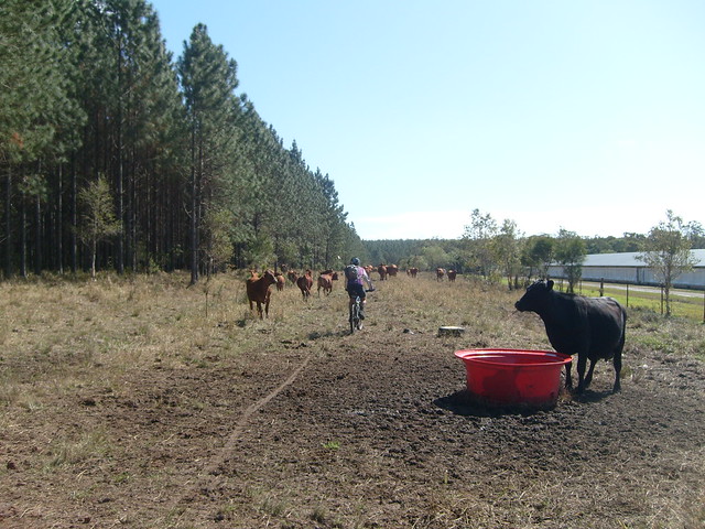
Eventually we came to one of those barbed-wire gate things where you have to twist the metal to unhook the barbed wire to open the “gate”. Although I’ve come this way many times before, today the paddock was full of cattle, so I just rode slowly through, talking in a moderately loud voice to make sure they kept out of my way, and dodged the cow-pats at the same time.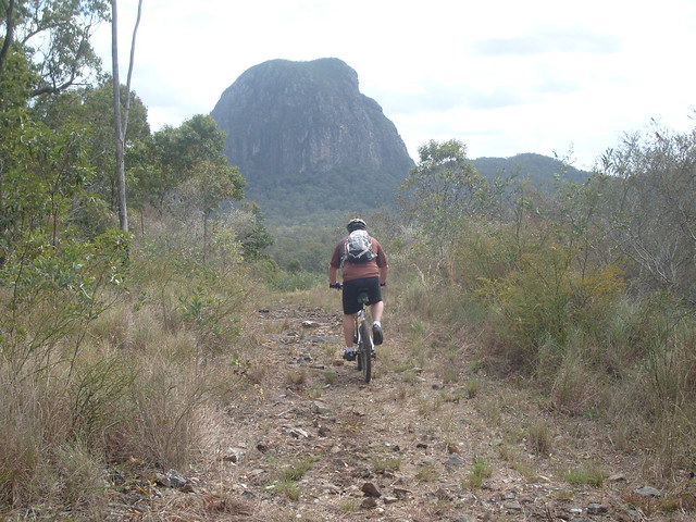
We eventually reached Beerburrum and headed north-west through the national park along some rocky tracks towards Mount Tibrogargan. It’s challenging and fun to ride because of the baby-head-sized rocks, slick rock, and steep pinch climbs.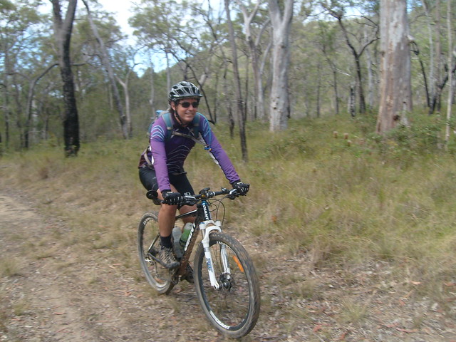
After an hour or so in the pine plantations, it was nice to actually get back into some native eucalyptus forest. The area around Mount Beerburrum is full of open eucalypt forest like this.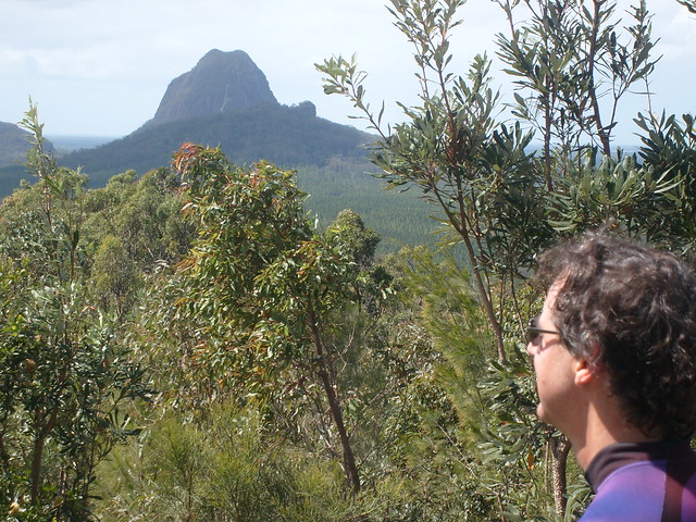
From Beerburrum we headed west up to the Lookout. The views are great, but it’s hard work getting to the top.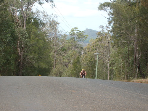
It’s a pretty tough climb up the bitumen to the trail head at the Coonowrin section of the national park….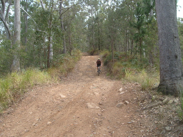
…But it’s fun riding some of the downhill tracks.
From Beerwah we headed through more pine plantations until we reached the southern end of the Dullarcha National Park.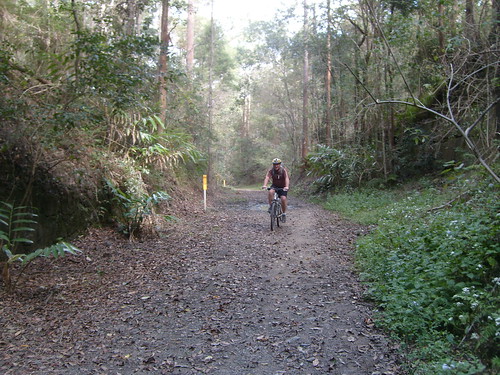
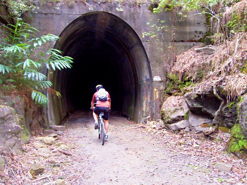
The Dullarcha Railtrail is built on the remnants of an old railway line that runs through the rainforest. The railway line has gone, but the tunnel and the old rail corridor is still there – and it makes a fun way to get through the national park between Landsborough and Mooloolah.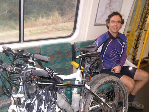
From Mooloolah it was a quick 40 minute train trip back to Caboolture where we’d started four and a half hours earlier.
All up 70km, 850m of vertical ascent, and 3,500kcal in 4 hours 45 minutes. On the tough-o-meter I’d give it 7.5 out of 10.
I’d like to add a bit more variety to this route before inviting friends on it. There was a bit too much pine plantation!
Subscribe to:
Posts (Atom)