Ever since my first visit to beautiful North Stradbroke Island last year with Jonathan, I’ve wanted to return and explore it on the bike.
When Jason suggested we catch the ferry across this weekend, I jumped at the opportunity.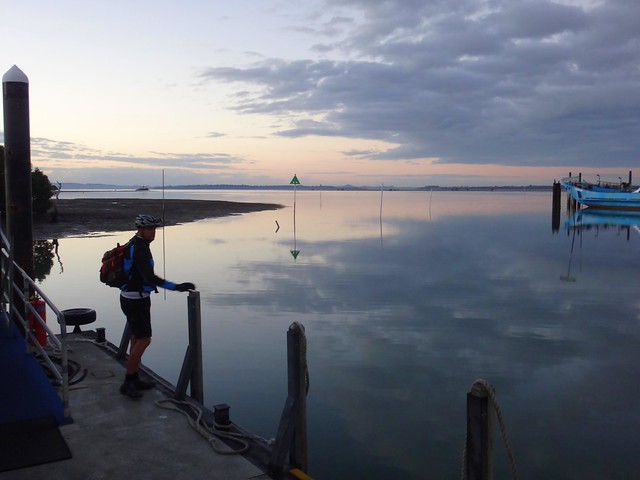
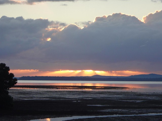
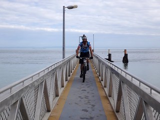
Any trip to “Straddie” involves crossing Moreton Bay, which meant we had to get to the Cleveland Water Taxi terminal before sunrise. I’m not too good at early starts, but the it was worth the extra effort to watch the first rays of sunlight peak up from behind Minjerribah as we waited for the ferry.
“As idle as a painted ship
Upon a painted ocean.”
Samuel Taylor Coleridge
- The Rime of the Ancient Mariner
As we arrived on the island at “One-Mile” jetty, just north of Dunwich, the mirror-smooth water reminded me of Coleridge’s poem.
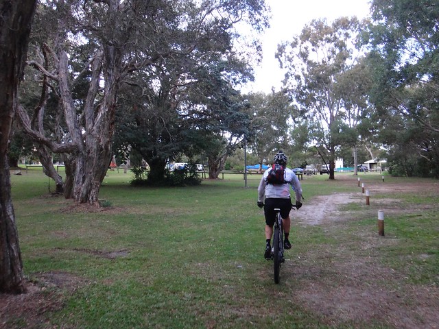
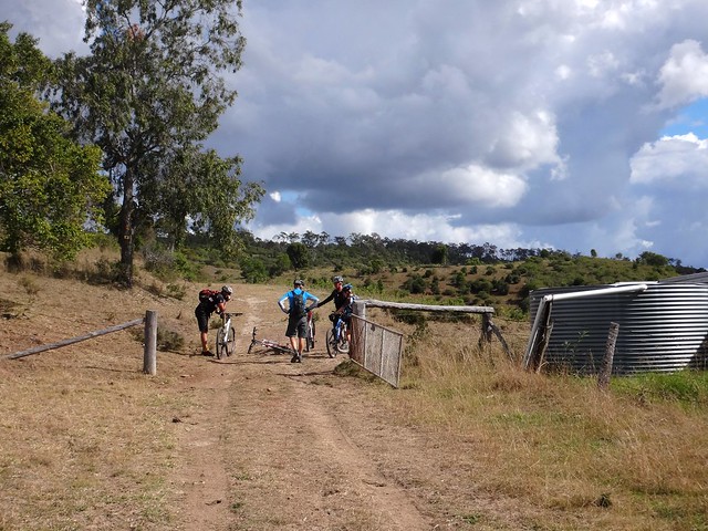
Jason arrived the night before, and met us as we disembarked. He took us on a quick short-cut through the Dunwich Cemetery to a local bakery so we could grab a few snacks before riding off.
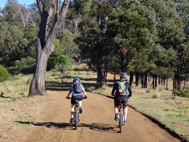
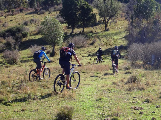
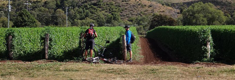
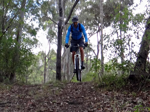
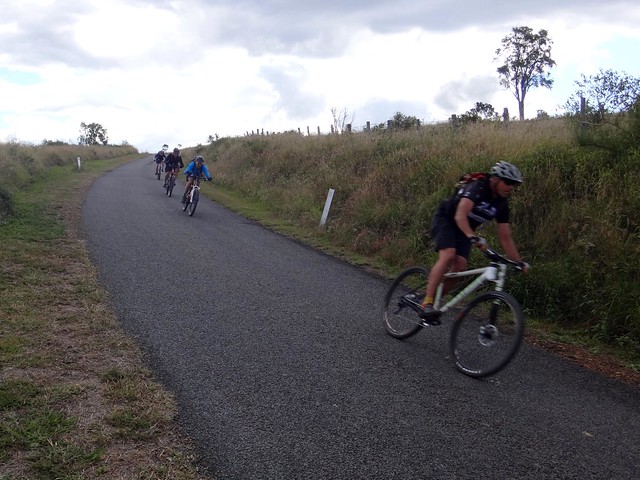
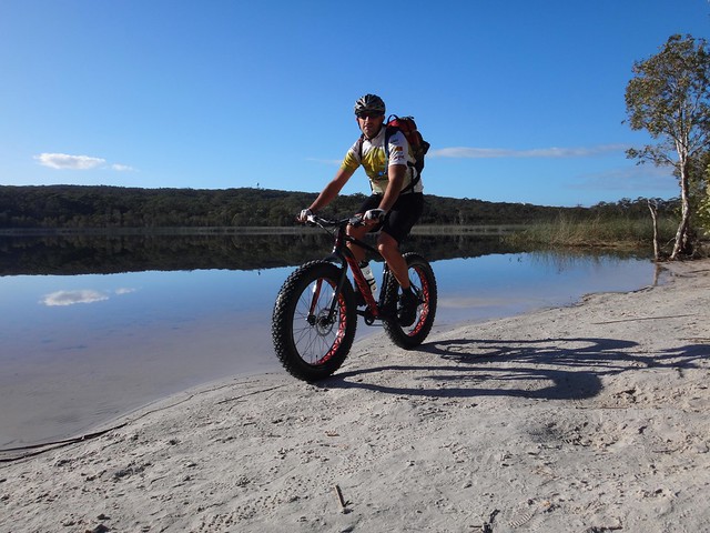
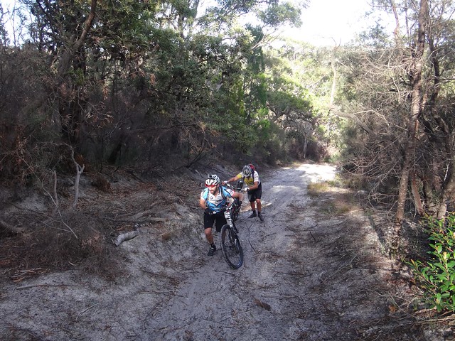
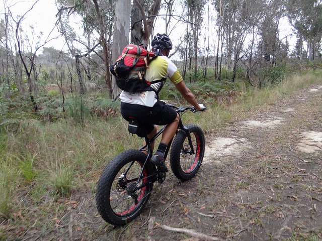
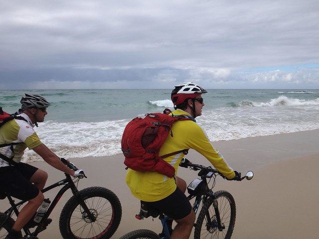
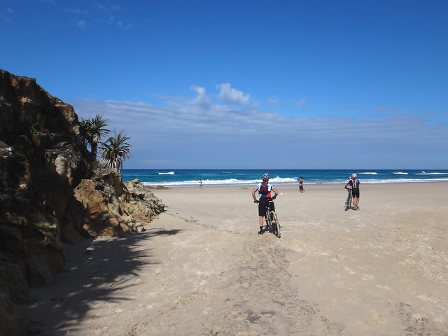
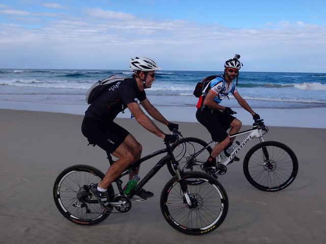
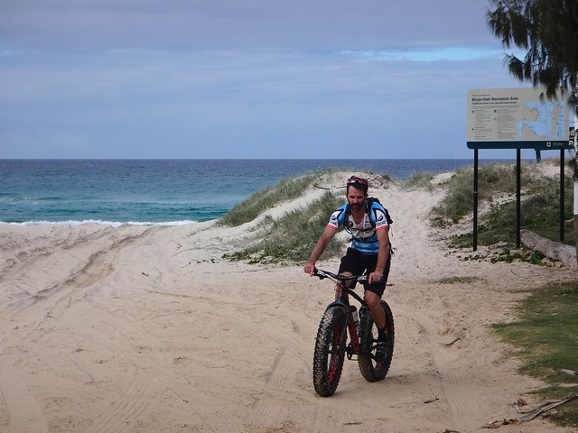
Paul was eager to see how his new fat bike would handle all the sand trails on the island. Jason and I optimistically hoped our normal 2.1″ tyres would handle the soft terrain.
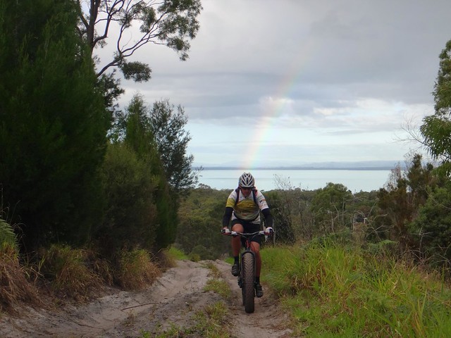
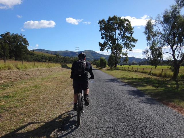
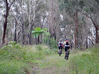
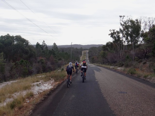
As we slowly climbed the steep hills behind Dunwich towards Rainbow Cresent, a rainbow peaked out through the clouds. There was no easing into this ride – it was hard work from the start.
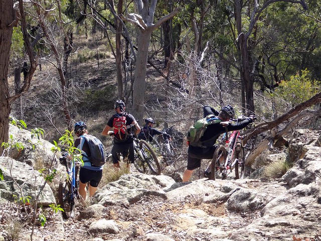
When planning our course, I wanted to avoid paved roads. On the map, the trail between Rainbow and Illawong Crescents seemed the ideal choice. In reality that was not the case:
“Gee I’m glad we don’t have to ride up THAT”, Paul said.
“Well…. actually we do”, I sheepishly replied.
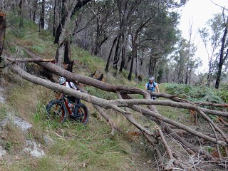
Photos never do justice to steep hills. This sand monster had gradients of around 30% and consisted of soft sand. It was hard work just walking up it. This is probably one track worth avoiding in future!
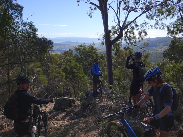
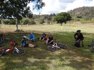
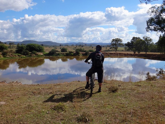
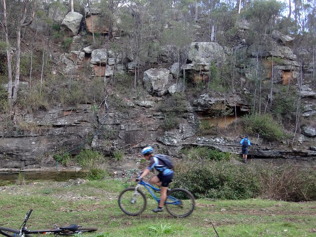
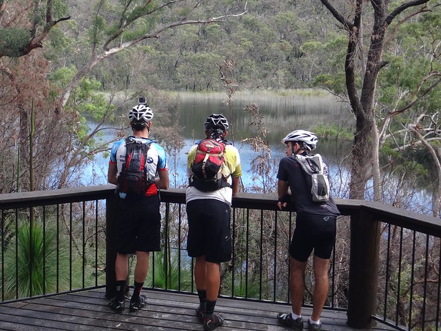
After battling a few more sandy trails, we arrived at Brown Lake (or “Bummel” in the Quandamooka language) and enjoyed a short break.
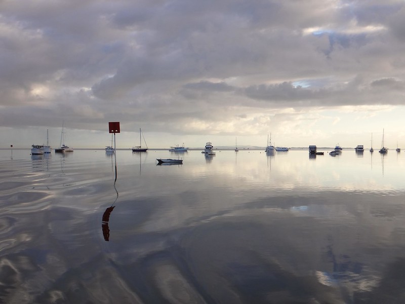
There was barely a ripple on the lake surface.
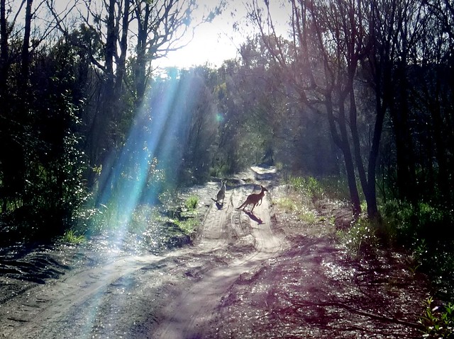
We followed the trails around the back of the lake before coming face to face with a couple of large Kangaroos. Both of them were taller than I was. They stood staring at us for what seemed like ages, but bounded off as soon as I reached for my camera.
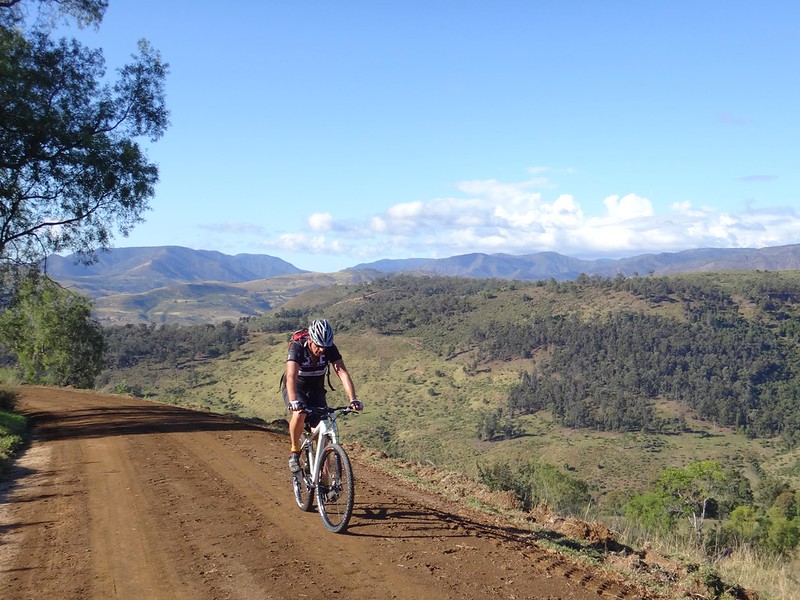
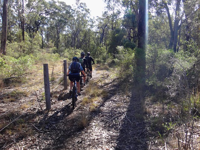
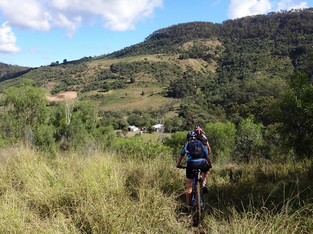
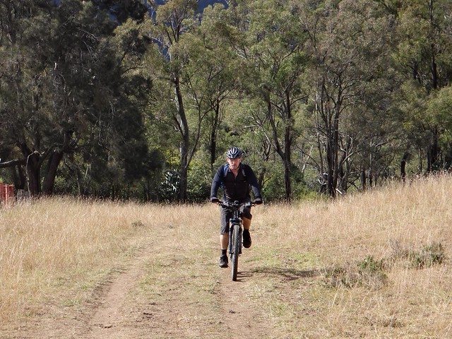
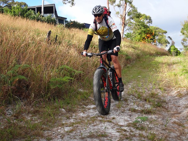
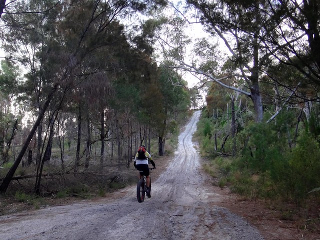
After leaving the lake we intended to ride north towards Amity, following some more trails I had identified from aerial photos. They were soft and steep, but we were optimistic the surface would eventually harden up…
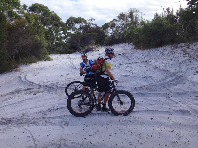
At the top, the trails were still quite soft, but eventually became firmer as we rode along. I let some air out of my tyres, dropping the pressure to about 20psi. I discovered if I kept my weight back and maintained a reasonable speed I was able to ride on top of the sand most of the time rather than sinking into it. But at other times, even the fat tyres on Paul’s bike weren’t enough, and we all had to push.
On the other side of the hill we stopped at Myora Springs. This freshwater spring bubbles out of the sand providing some of the clearest water I’ve seen.
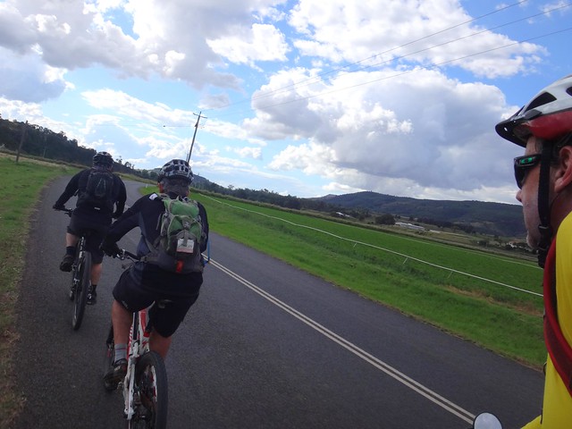
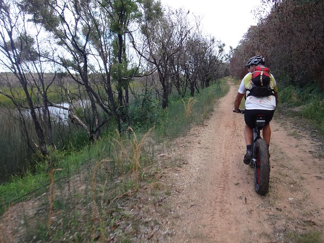
After following the paved road for a couple of kilometres, our course eventually went off-road again as we followed a fire trail along Chiggill Chiggill swamp. With the lagoon on our left, and steep hills on our right we followed the trail around the back of Welsby Lagoon towards Amity.

Amity is a delightfully peaceful spot on the north-western tip of the island.
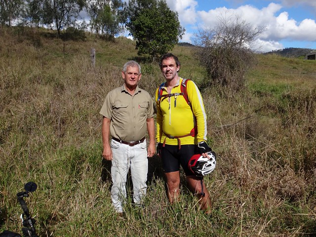
We met Nigel, an old-timer who has lived at Straddie for over fifty years. Pushing an old bike he found at the local rubbish dump, Nigel told us a bit about his life on the Island.
“I came here when I was seven years old, and have been here ever since”, he said.
“Back in those days there were no paved roads and no electricity.”
“It was peaceful. People just left you alone.”
He seemed really contented.
Good on ya, Nigel ![]()
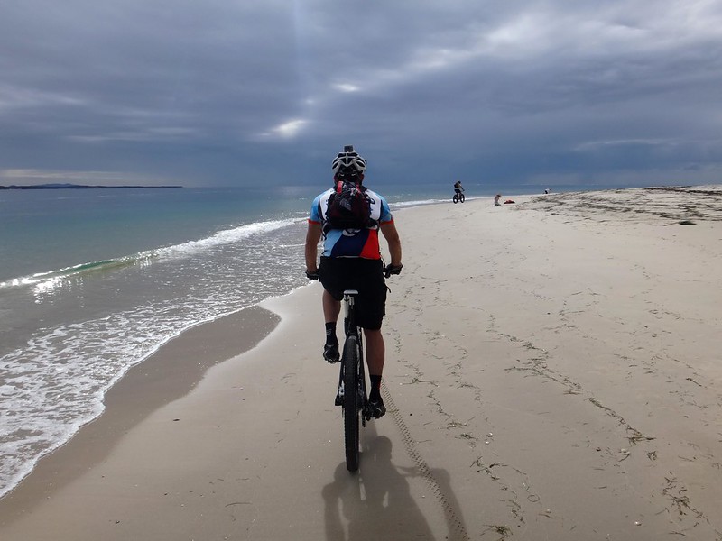
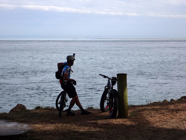
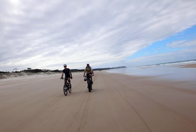
Leaving Amity, we decided to try riding along Flinders Beach. The tide had dropped sufficiently, and we were able to ride on a wide path of firm sand.
I was surprised how easy it was – even with my narrower tyres.
Everyone smiled. With gentle surf on one side, unspoilt bushland on the other, and a wide open beach in front of us, we relaxed and enjoyed the wonderful experience.
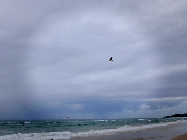
A sea eagle perched on driftwood before leaping into the air in search of fish.
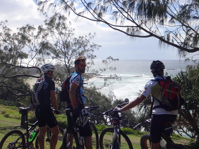
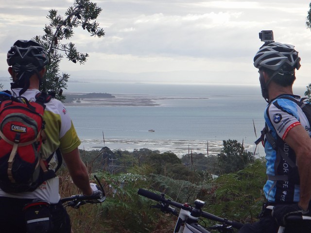
We met up with Craig at Point Lookout. He had been running a stall at some local markets, and showed us where we could get lunch.
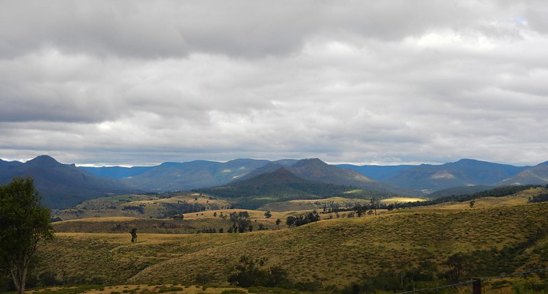
The views from the headland at Point Lookout are always worth checking out.

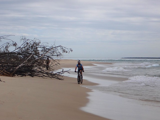
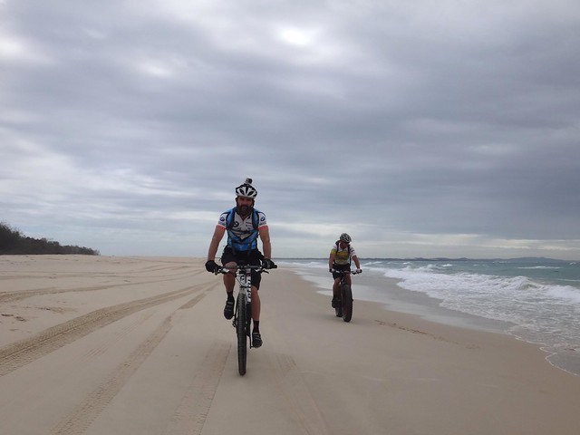
The tide was getting lower, so as we headed south, we re-joined the beach for an effortless 10 kilometre roll with the wind at our backs. It was like rolling downhill for 45 minutes.
We had the wide beach to ourselves. We were able to relax and soak up the views around us.
As I looked out to sea, I saw a huge Humpback Whale launch out of the water and crash back down with an almighty splash. This happened a few times. I yelled out uncontrollably each time:
“Wow!”
“Did you see that!”.
Everyone did.
There were several migrating whales a few hundred metres offshore. Ever couple of minutes, they’d “breach”.
No – although I tried, I didn’t get any photos. But the whales will be back in September if you’d like to see them. Just sit on the eastern beach at Straddie for half an hour and watch the sea.
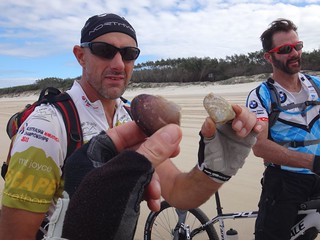
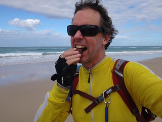
A little further down the beach, Craig yelled out to me “How would you like something to eat?”
He pointed out dozens of little mounds in the sand.
Scooping out one of them he triumphantly pulled out a “Pipi”, a bi-valve shellfish that was an everyday part of the traditional diet of the Quandamooka people. All over the island you can find large shell-heaps or “middens” where they’d leave the shells after a feast.
“Can you eat them raw?” I asked.
“They were usually cooked,” Craig explained, “but if you were desperate I suppose you could eat them raw”.
I took a playful bite at the shell, but decided it would be better to let this little creature live, so we threw him back into the sea.
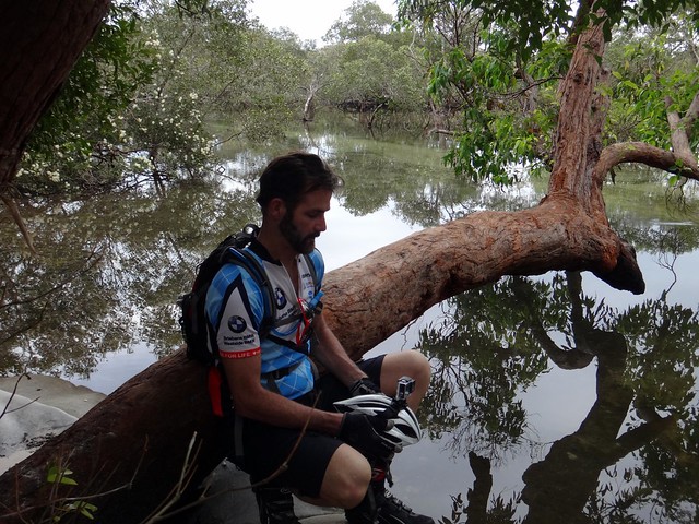
Eventually we left the beach and rode south along Eighteen Mile Swamp. This freshwater swamp is the largest of its kind in the world, stretching behind the dunes for about 30 kilometres.
We crossed yet another spring, with crystal clear water gushing out. The water tasted clean and fresh, so I topped up my drink bottle. It’s a rare experience to be able to find such clean drinkable water on a ride.

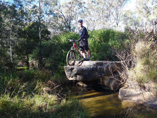
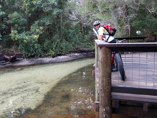
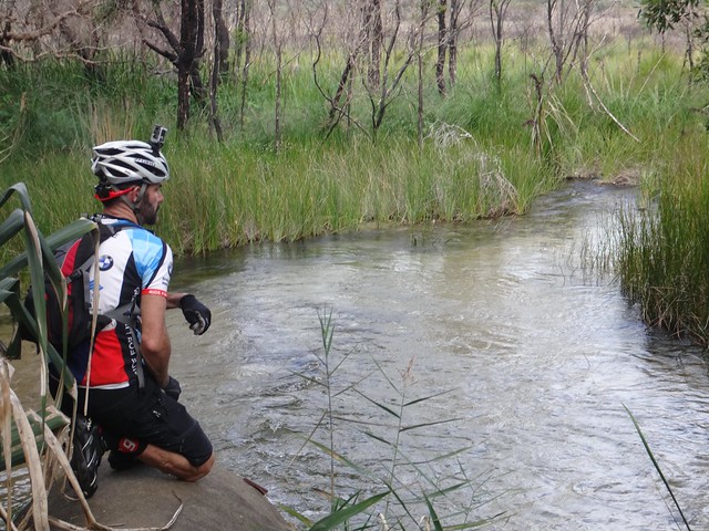
We arrived at Blue Lake and had to cross another freshwater creek.
As we waded through, we could see small fish swimming around in the water.
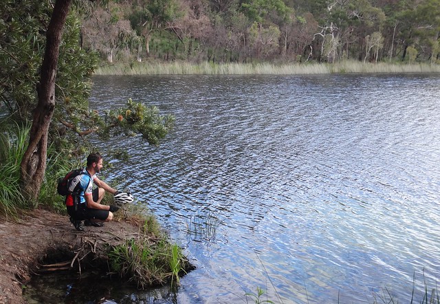
The Quandamooka name for Blue Lake is “Kaboora”, meaning “Silent Pool”.
It’s a very tranquil place.
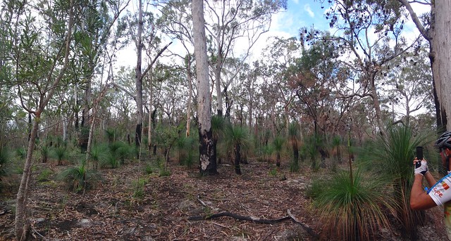
This whole area was damaged by fires six months ago. It’s good to see the vegetation springing back to life so exuberantly.
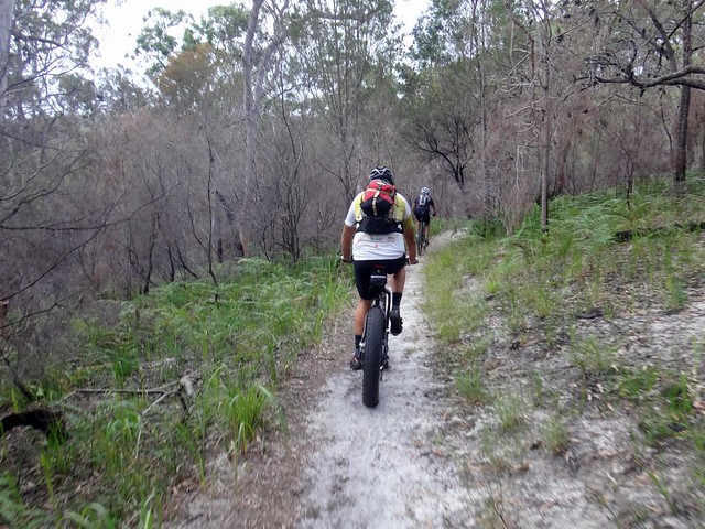
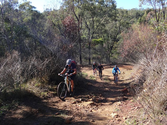
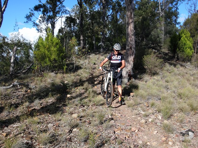
On the way out, we followed some pleasant single-track towards the carpark. The narrower track seemed firmer than the fire trail, and much easier to ride.
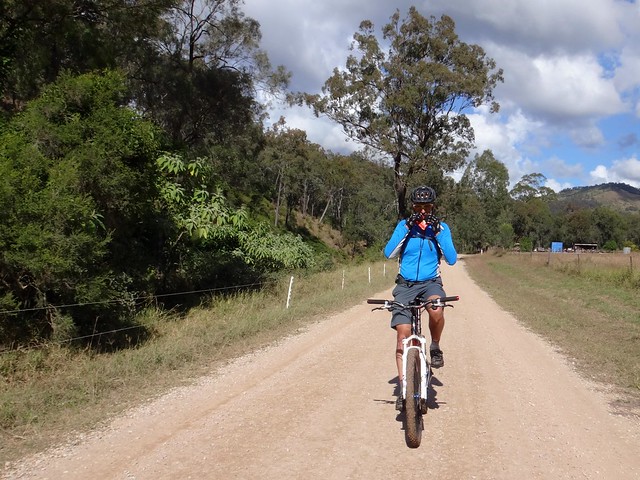
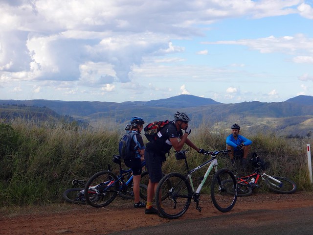
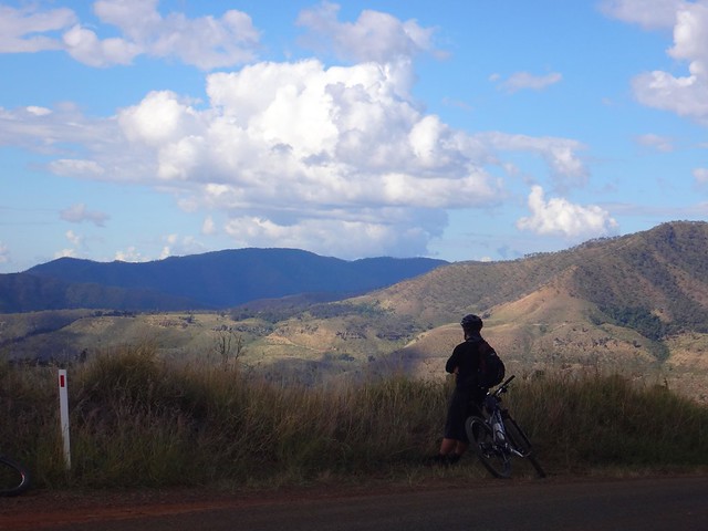
From there we followed the trans-island road back to Dunwich, taking in the great views of the harbour from the top of the hill.
We rode a total of 66km in about 8 hours including breaks, climbing about 830 metres in vertical ascent.
I burned about 3,500 kcal.
Because of the large sandy climbs, I’ll rate this one 8 out of 10 on the tough-o-meter.
If you kept to the coastal tracks and beaches, this would be an easy enjoyable ride – probably 6 out of 10 in difficulty, provided you chose a time when the tide was low.
And if you’re lucky enough to have a fat bike, it would be even easier.
Thanks Jason, Paul and Craig for another great adventure!