Please note: you can find a more up to date version of this blog at http://blog.neilennis.com

Saturday, February 21, 2015

Big Wet

Read More

Kids in the Rain

After recent heavy rain, creek beds which were bone dry for a couple of years are now flowing.


I thought this would be a good opportunity to revist some those creeks and enjoy the rare sight.


Recovery

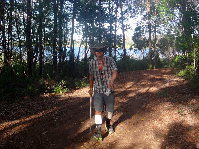
I’ve spent the last ten days recovering from knee surgery which means I can’t drive or ride a bike.


Driving

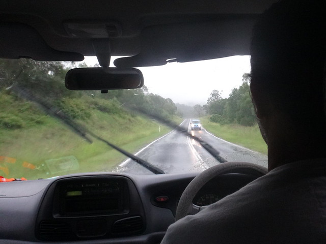
The heavy rain means that my riding buddies can’t ride their bikes either – so Jason kindly agreed to drive me around the hills behind Dayboro to have a look at the difference made by the torrential downpour.


Laceys Creek

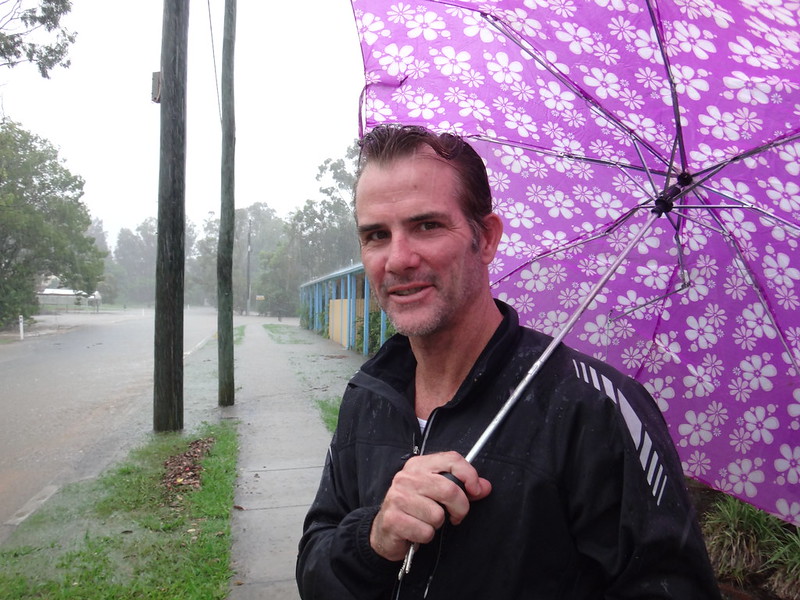
Jason asked me if I had a spare umbrella as we left my house. I handed him an old purple one, but didn’t realize he’d be sporting it in most of the photos I took of him. He graciously didn’t complain about it.


Laceys Creek

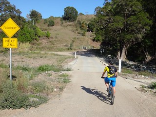
We stopped at a couple of the creek crossings on Lacey’s Creek Road. We’ve often ridden along here on fun rides up into the Mt Mee Section of D’Aguilar National Park.


Wirth Road

Laceys Creek


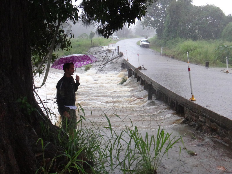
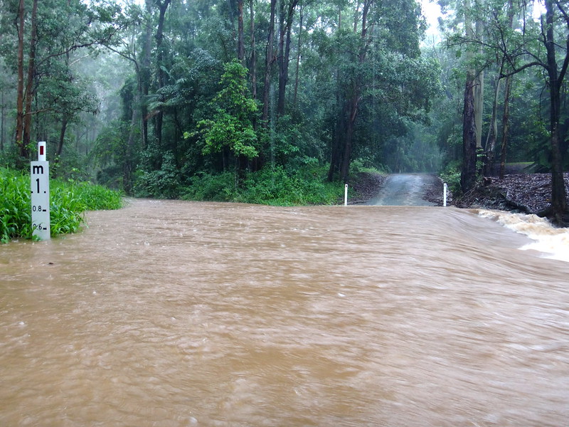
The crossing at Wirth Road has usually been dry on past rides…


Wirth Road

Laceys Creek


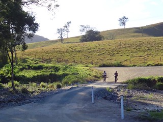
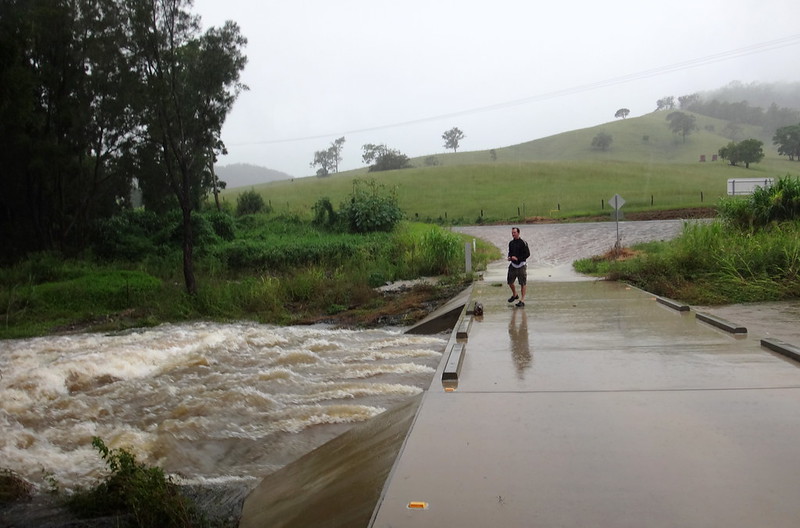
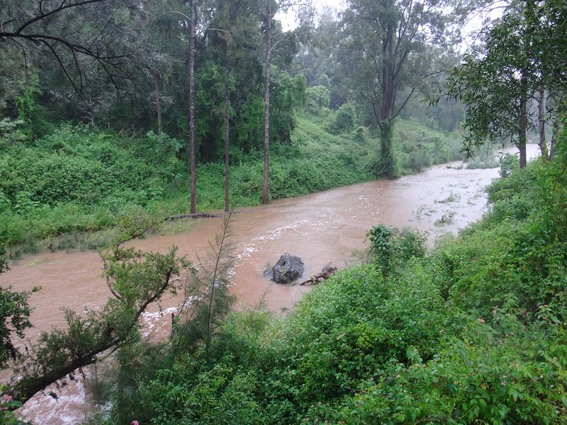
Today the causeway was barely coping with the impressive flow.


Wirth Road Causeway

Jason at Wirth Road


A usually sleepy creek was a raging torrent today.


Taking Risks


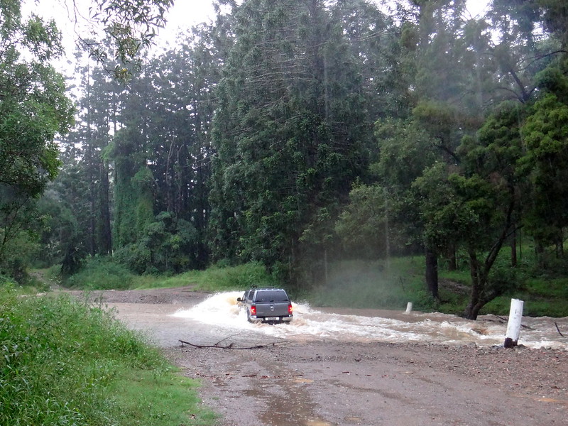
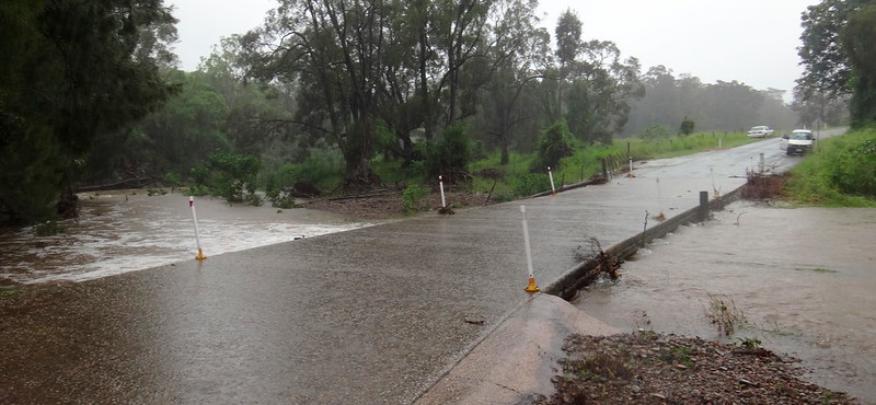
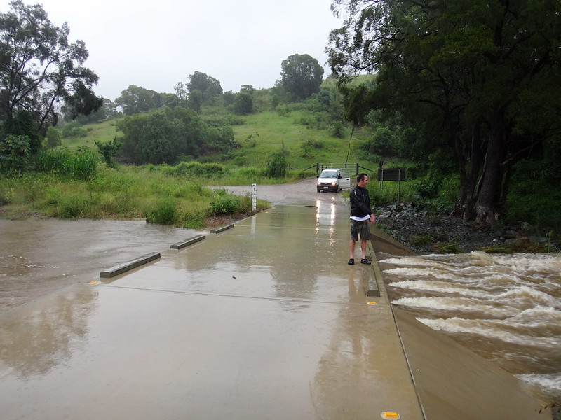
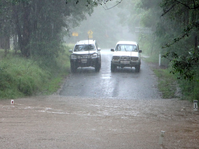
We had agreed beforehand that we wouldn’t cross any flooded causeways – it’s not worth the risk.


The final causeway at the end of Laceys Creek Road was flooded, so we stopped and turned around. The driver of this 4WD,however, was a little too adventurous and ploughed through despite water going up over the hood. I’m glad he made it through.


North Pine River, Mt Pleasant


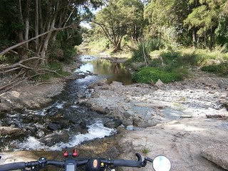
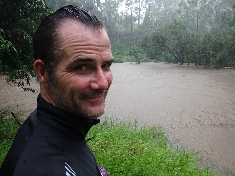
Our next stop was Mount Brisbane Road near the head of the North Pine River at Mount Pleasant.


Mt Brisbane Road

North Pine River, Mt Pleasant


This is the spot at which we’ve previously started rides up to Dianas Bath.


There was no crossing the river today though.


North Pine River, Mt Pleasant

(Photo by Jason Reed)


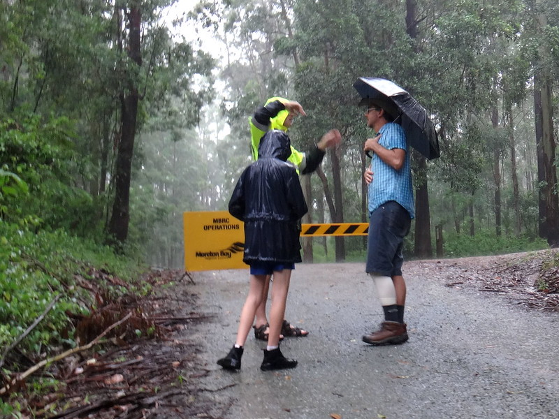
I had a chat to some local residents while Jason took a few photos.


Despite the conditions, I still think they were very fortunate to be able to live on the edge of such a beautiful national park.


Jason and his Purple Umbrella

Terrah's Restaurant, Dayboro


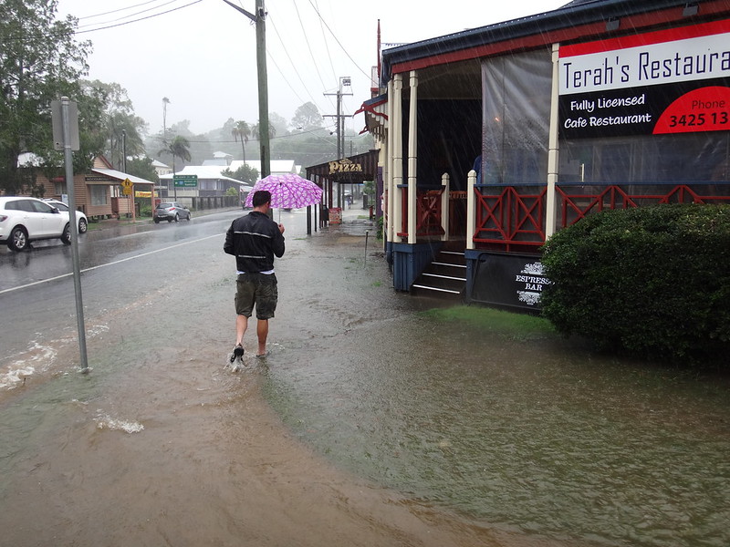
One of the advantages of driving over cycling is that we were able to stop in town for morning tea. We stopped at one of our favourite cafe’s and had a bit more than what we should have, considering we weren’t riding or working very hard.


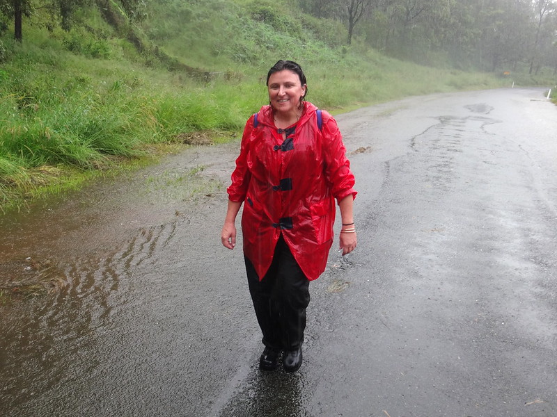
I commented to the waitress that anyone paying them a visit today must really like the restaurant considering the amount of floodwater we had to wade through to get there.


Dayboro


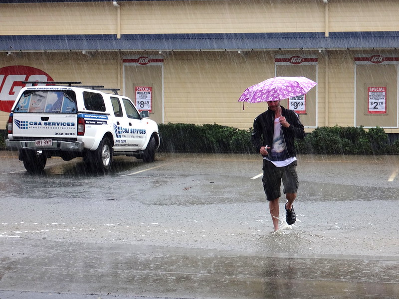
Sugar Mill Creek in the middle of Dayboro had broken its banks and flooded local streets.


Boots


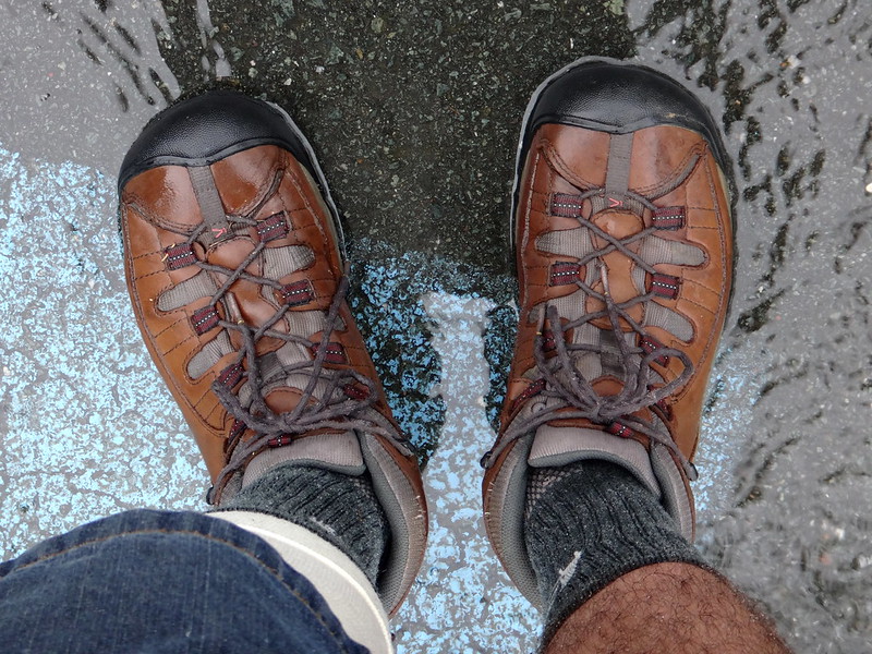
My trusty boots kept the water out very well.


Armstrong Creek


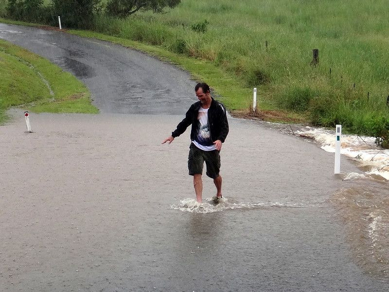
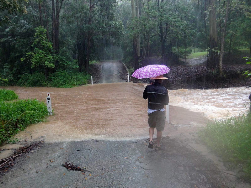
We intended to visit Leis Crossing next, but were prevented by floods on Armstrong Creek Road. Jason checked the water out on foot first, but decided it was flowing too quickly to safely drive a car through, so we did a u-turn and headed for Kobble Creek instead…


Kobble Creek


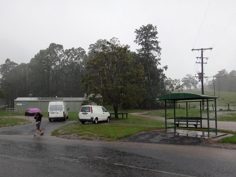
Kobble Creek Road was closed too – so we parked the car at the Rural Fire Brigade and walked instead.


Kobble Creek


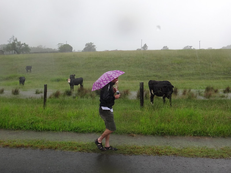
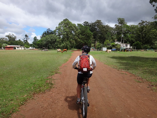
We said “G’day” to a few drenched cows on the way…


Fig Tree


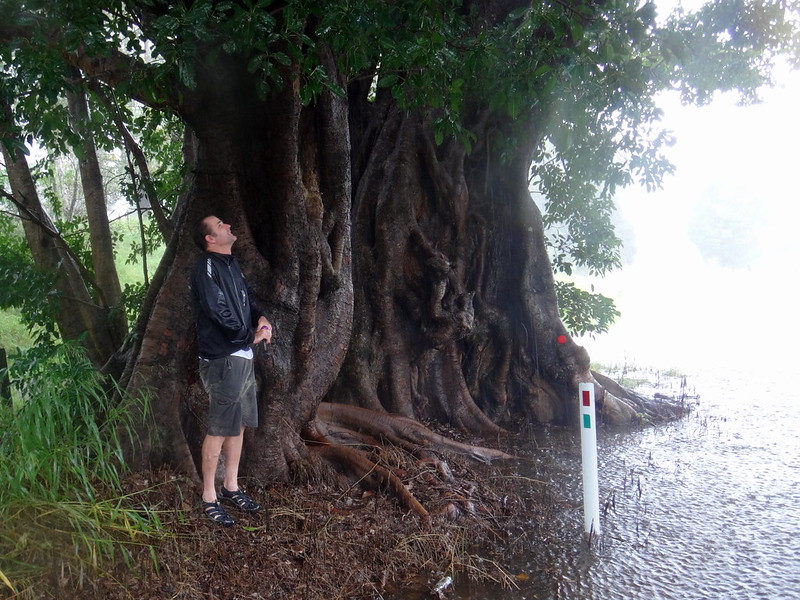
… and took shelter from the rain for a while under an old fig tree.


Belinda


It seems like a few locals had the same idea as us and were walking around checking out the creek…


If it's Flooded


Kobble Creek was up quite high. No one was getting through today.


Texting in the Rain


Ever the thoughtful man, Jason let a lady shelter under his umbrella while she tried to send an SMS.


Kobble Creek in Flood


Jason didn’t think it was a good idea to wade through the creek…


Calalier PaleKooinda American Pale Ale

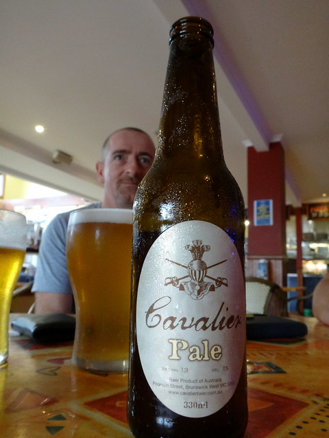
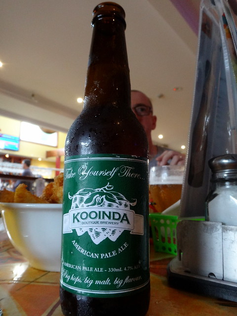
So we met Darb and his wife, Bernadette down at the Samford pub instead.


Since I wasn’t driving or riding, I didn’t mind having an extra beer :)


Laceys Creek


I’ve often watched the weather reports each night hoping that the rain would stay away so we could ride.


But I actually enjoyed the rain today.


There’s something refreshing about watching dry watercourses come to life after a heavy downpour. It’s good for the health of our waterways, good for the flora and fauna that live there, and (despite the frustrations of not being able to ride) it’s good for us too.


Thanks Jason for driving me around today. I had a great time!


Saturday, February 14, 2015

Mount Binga

Read More

Wide Open Spaces

With few days remaining till I had to undergo major surgery, I decided to take the day off work and go for a big ride through wide-open spaces while I was still able.


CooyarCooyar

Early on a Friday morning we parked the car outside the pub in the quiet South Burnett town of Cooyar and headed for the hills.


Cooyar - Mt Binga Road

We followed the road out of town as it gently climbed the range until we reached the end of the bitumen.


Mt Binga State Forest

Mount Binga State Forest / National Park is a two to three hour drive from Brisbane, about halfway between Toowoomba and Kingaroy.


We think that the quiet trails through this area might give us an off-road route from the Bunya Mountains to Brisbane via Esk that could be completed on a bike in about two days. Eric has previously ridden from the Bunya Mountains in about four days via Nanango and Jimna and thinks this new route could be done in half that time.


Outdoor Education Centre - Mt Binga


Regardless of new routes, Paul and I were just grateful to be out in the bush on a weekday rather than at work :)


Outdoor Education Centre - Mt Binga

Outdoor Education Centre - Mt Binga


We passed through the Mount Binga Outdoor Education Centre and said “G’day” to some contented ponies grazing on the green grass. Moss-covered signs pointed off at strange angles to barely visible destinations. Sitting ontop of the Blackbutt Range, this looked like the perfect place to “get away” from it all.


Hills in the Forest

We rolled down the range into some plantation forests.


Hills in the ForestHills in the Forest


The terrain through here undulates constantly, so we spent most of our time either grinding up hills or rolling down the other side…


Paul and Ants Nest

Bustling ants nests cluttered the dirt tracks. I squatted down to have a closer look at this miniature metropolis and ended up with an angry ant trying to bite the end of my finger.


Paul had the right idea and kept on pedalling.


Mt Binga Fire TowerMt Binga Fire Tower


We eventually reached the summit of the ride at the Mount Binga Fire Tower. We’ve visited a few fire towers in our time, including one that had disappeared. We didn’t try climbing this one because the stairs were missing and large warning signs warned us that it wasn’t safe.


Prickly Pear

The road past the fire tower was mostly downhill. I was surprised at the number of prickly pear bushes we encountered on the way out. These plants are noxious weeds which I thought had been brought under control by the introduction of the cactoblastis beetle, but it looks as though tree-sized infestations still persist in some places.


Wide Open Spaces


We dropped out of the forest under towering skies onto endless plains and bushland rolling westward – a patchwork quilt of green.


Wide Open Spaces


As I soaked up the panorama I remembered that this would be one of my last big rides for quite a few months. It takes a long time to recover from knee surgery. Today I was sure we had come to the right place for a ride. We hadn’t wasted the opportunity, we had made the most of it.


East Cooyar Road

The hilly tracks flattened into rural gravel roads – an archetypal Aussie backroad that could have been anywhere on this vast continent.


Neil on East Cooyar Road

“Bloody beautiful” I blurted out while grinning like an idiot. Where else would you want to be?


East Cooyar Road

The last couple of kilometres were a blisteringly fast descent down the paved road back into town.


I tucked in and got the bike up over 70km/h as I followed Eric down the hill. What a fun way to finish a ride!


DSC05733_copy

We rode a total of 44km in three and a half hours including breaks. During that time I burned 1800 kcal as we climbed about 1,200m.


I’ll rate this one 6.5 out of 10 on the tough-o-meter. It’s an easy pleasant ride with one or two hills in it to keep you honest.


The bakery in Yarraman does tasty pies and has a great looking mountain bike hanging on the wall.


Thanks Eric and Paul for a memorable ride!