
Today’s adventure took us from the picturesque village of Tyalgum in Northern NSW, up to the edge of the crater surrounding Mount Warning, and then back to our starting point via Mount Burrell and Mebbin National Park.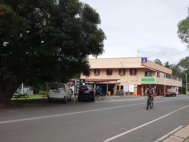

Tyalgum is nestled in a valley surrounded by mountains on almost every side – the Border Ranges to the west, the Macpherson Range to the north, and Mount Warning to the south. Whichever way we rode today we were going to have to pedal hard up steep hills.
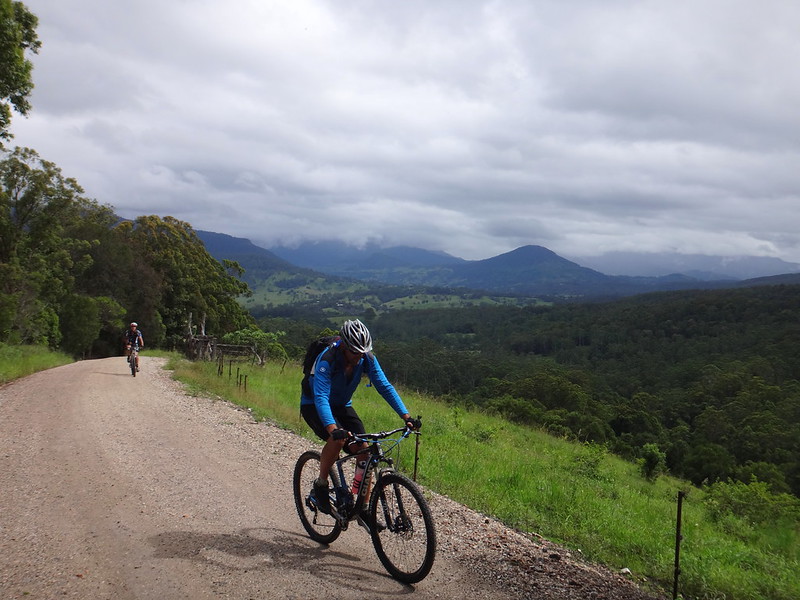
We rode southwards out of town, slowly climbing the volcanic crater that surrounds Mount Warning.
The Bundjanlung Aboriginal people call the mountain “Wollumbin” which means “Cloud Catcher”. Their ancient stories explain that the mountain bears the scars of a dreamtime battle where warriors fought each other in the midst of great storms, thunder shook the surrounding countryside, and lightning blazed across the sky.
The area is rich with a network of creation sites, ceremonial places, traditional pathways and indigenous camp sites.
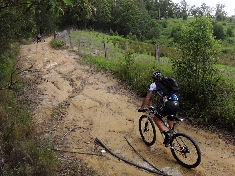
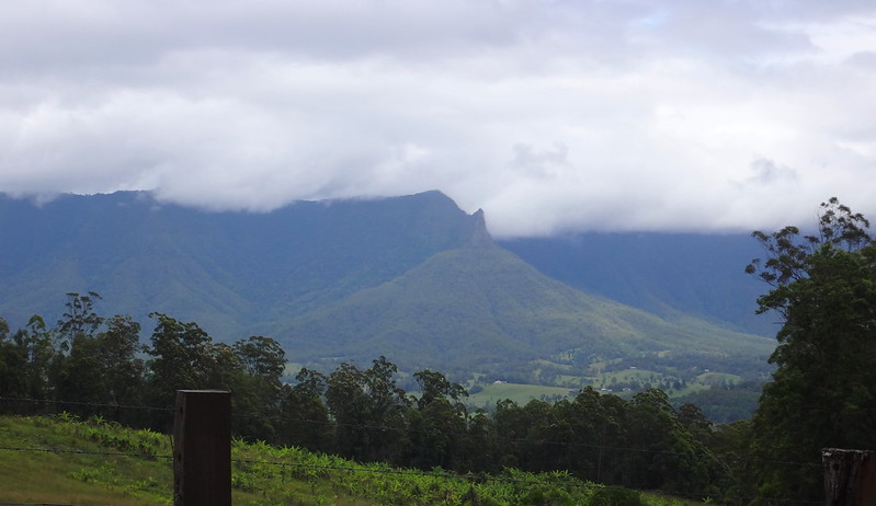
We climbed for almost ten kilometres gaining over 600 metres in altitude. Although it was a demanding ascent, the views were stunning.
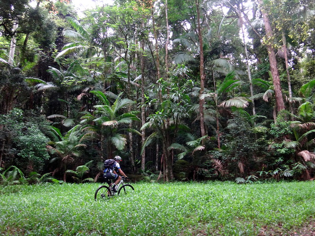
As we neared the top, I suggested that we take a short detour to Brummies Lookout – an exposed rocky outcrop on the knife-edge of the crater rim that was supposed to have good views.
“It should only take us ten minutes”, I optimistically added.
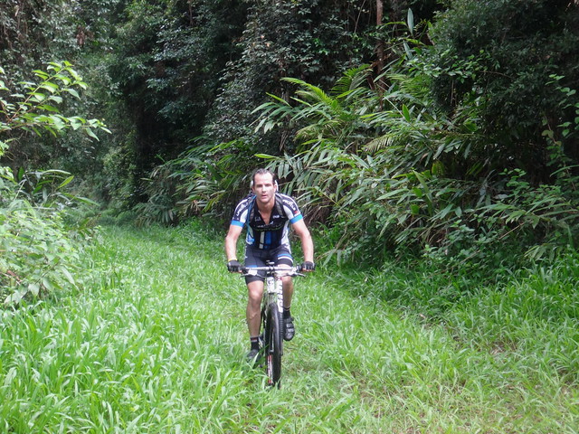
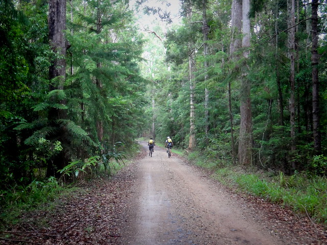
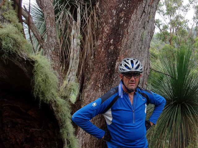
We climbed the track for half an hour through the cloudy forest – the terrain dropping away steeply on either side.

We then ditched the bikes and hiked another half an hour through thick vegetation up a steep faint track.
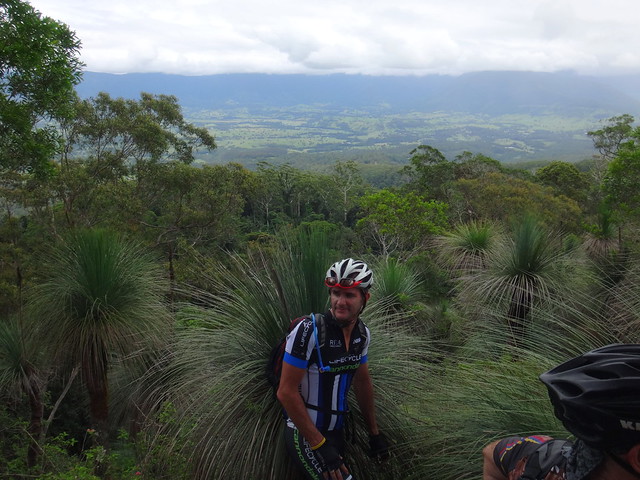
We climbed as far as we safely could in our cycling shoes. Their hard soles aren’t suited for scrambling over rocks. After looking at our track log after the hike I suspect we needed to walk anouther hundred metres to reach the clearing, but we were happy with what we saw.
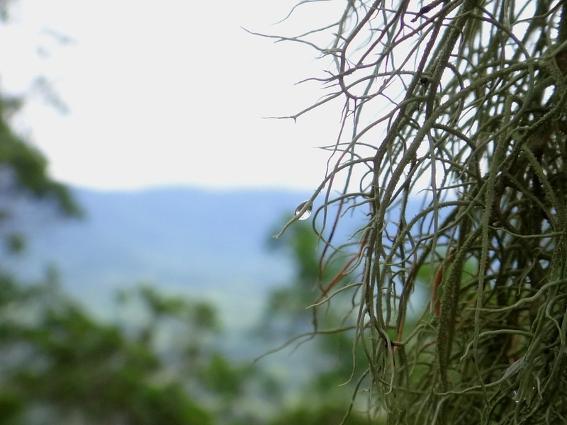
On one side of us the land dropped sharply away to the Tweed Valley…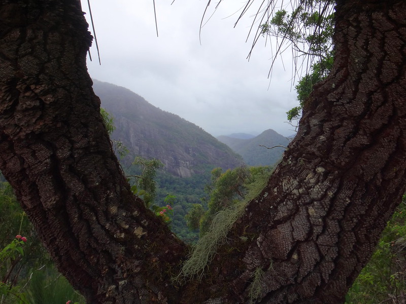
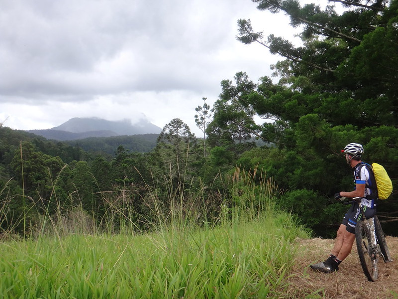
… on the other side sheer cliffs fell away to the floor of the caldera surrounding the peak of “Wollumbin” – its rocky head hidden in clouds.
This was a special place.
We carefully clambered back down from the edge through the thick undergrowth towards our bikes.
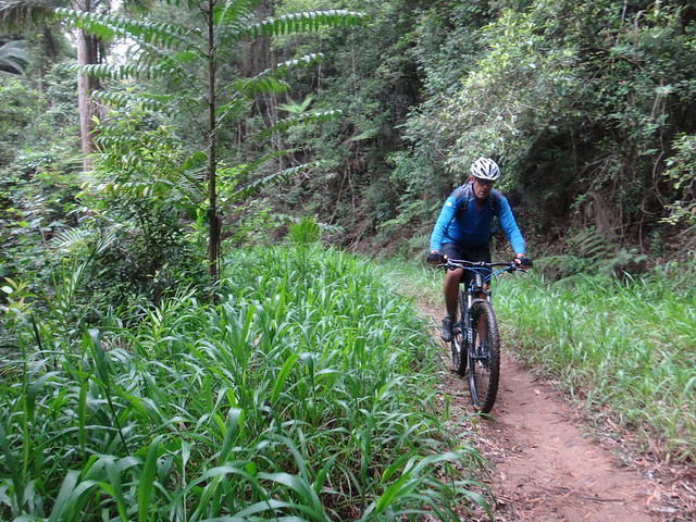
As we rode over the other side of the mountain, we enjoyed a pleasant downhill run towards the Tweed Valley.
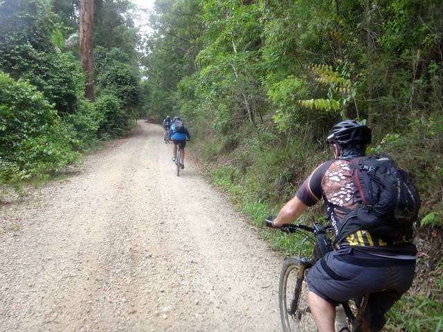
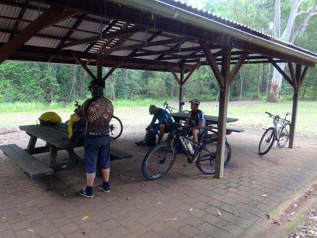
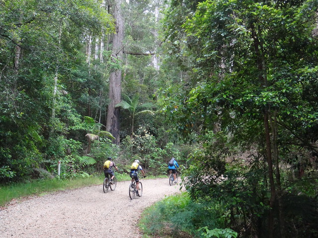
The narrow trail opened up onto a wide gravel road as we rolled down to the camp grounds in Mebbin National Park for a quick lunch.
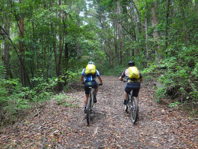
At this point we took a gamble. Instead of following Cadell Road out of the national park, we thought we’d save a few kilometres and take a shortcut along a faintly marked track.
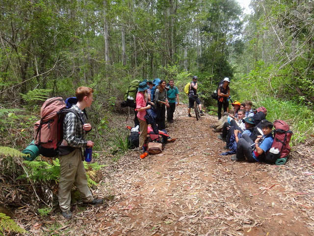
We encountered a tired group of “Outward Bound” hikers approaching from the opposite direction.
“G’day!” I chirped. A couple of them smiled. Others looked longingly at my bike. I think they realized it’s much easier covering long distances by bike rather than by foot.
They confirmed that the track we were on would take us where we intended to go, so I was grateful.
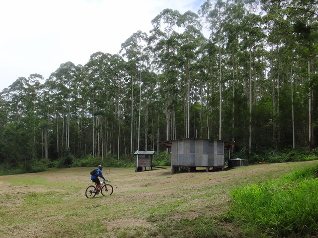
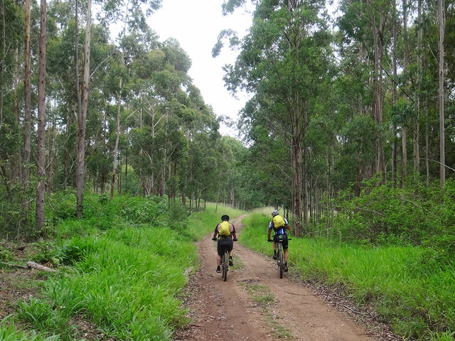
We kept riding through a eucalyptus plantation…
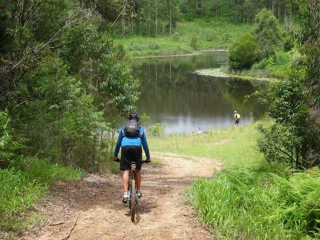
… until we came across a small lake, where we took a short break.
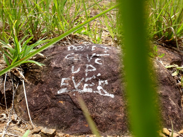
Someone had painted “Don’t Give Up Ever” on a rock. Perhaps the author had done an “Outward Bound” hike and discovered the secret of getting to the other end?
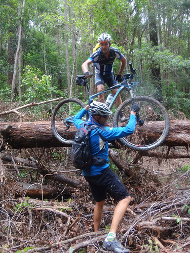
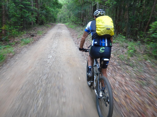
The track grew heavier as we continued southwards. We had to scramble over a couple of fallen trees. It’s much easier getting bikes over these obstacles when you’re riding with others. I wouldn’t want to have dragged my bike through here alone.
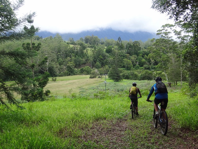
The forest opened up into grassy paddocks. We were trying to find the main road into town. We could hear it, but high grass and a deep river lay between us and it.
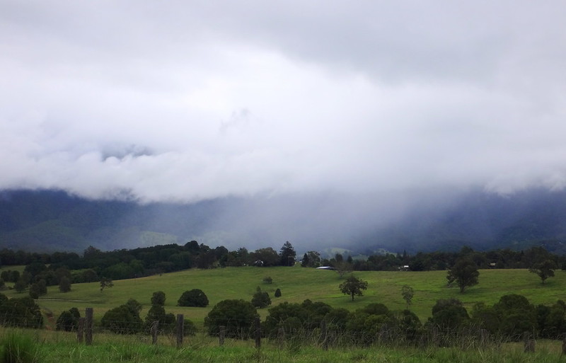
In the distance, Wollumbin looked down at us imperiously while he caught clouds.
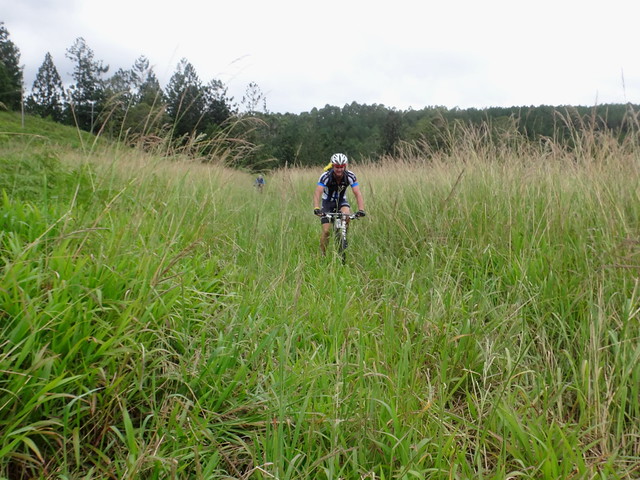
We were off course. We pushed through the grass, trying to work out the easiest way to the road. Tyre tracks led off deceptively in all directions.
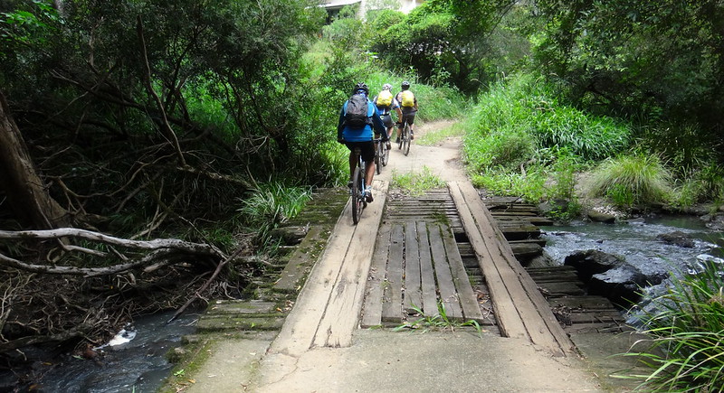
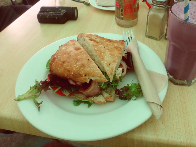
Eventually we found a small bridge across the Tweed River which led into someone’s backyard. After apologizing profusely we completed the short roll along the bitumen to Sphinx Rock cafe for a late lunch.
I was surprised how hungry I was.
With full stomachs we happily rode off for the homeward leg of our trip.
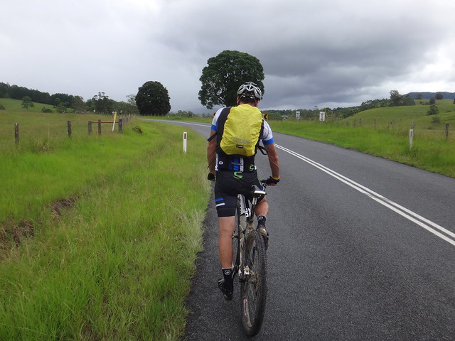
Although mountain bikers don’t enjoy paved roads much, we had to ride along Kyogle Road for three kilometres before turning up the road back into Mebbin National Park.
We pushed up yet another hill for almost 6km.
The road through Mebbin is undulating. Towards the end of a long ride the continual ups and downs took their toll on tired legs. We were grateful for the descents.
To make up for lost time, we cut out one segment of our planned course, and retraced our tracks for a short way.
On our left rays of sun tried to break through the clouds that clung to the Border Ranges.
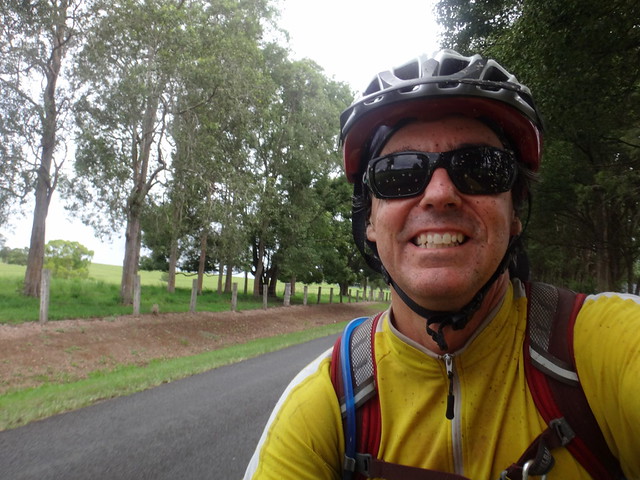
I thought to myself as we rode back into Tyalgum that despite the hard work this had been a satisfying ride. I was happy.
We rode a total of 58km in about seven and a half hours. I burned about 3,100 kcal as we climbed 1,864m in vertical ascent.
This ride rates 9 out of 10 on the tough-o-meter.
Don’t attempt it after heavy rain.
If you follow our course, resist the temptation to deviate from Wallers Road. If you do, you’ll also end up in someone’s back yard.
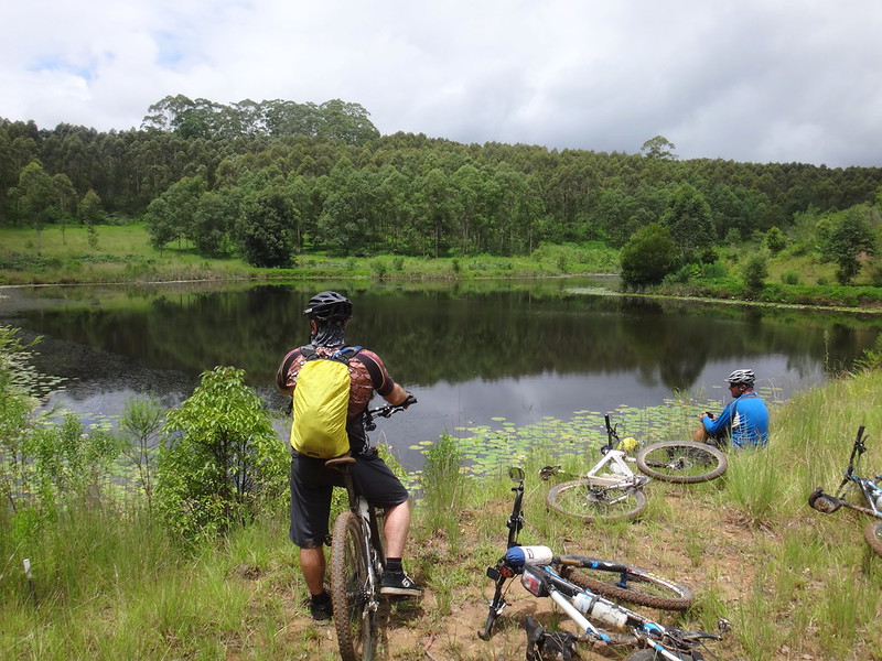
Thanks Darb, Paul and Jason for another memorable ride!




No comments:
Post a Comment