Please note: you can find a more up to date version of this blog at http://blog.neilennis.com

Wednesday, December 28, 2011

Southside Epic

Read More

Eastern Escarpment

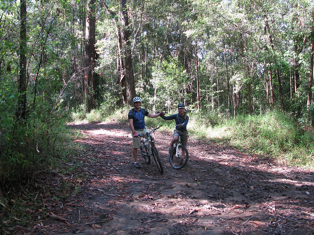
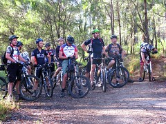
My friend Derek organized a ride today with about 25 riders from MTBDirt.com to check out some of the great mountain bike tracks on the South Side of Brisbane.


That sounds so easy to say, but what needs to be said is that he spent almost two months planning the ride. His wonderful wife, Michelle, got up well before dawn to prepare food and drinks for the riders, spent most of the day driving around delivering it, and then got back home in time to cook up a delicious BBQ for everyone.


How often do you get to go on such a well organized and provisioned ride like that?


Daisy HillDaisy HillDaisy Hill

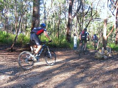
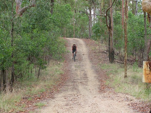
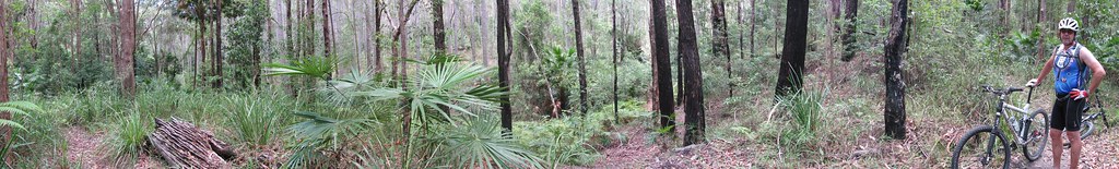
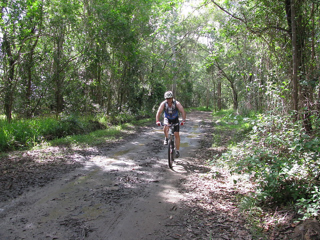
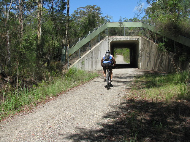
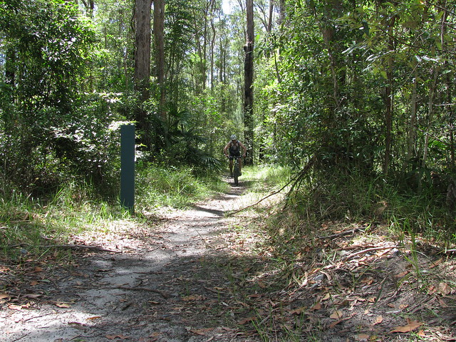
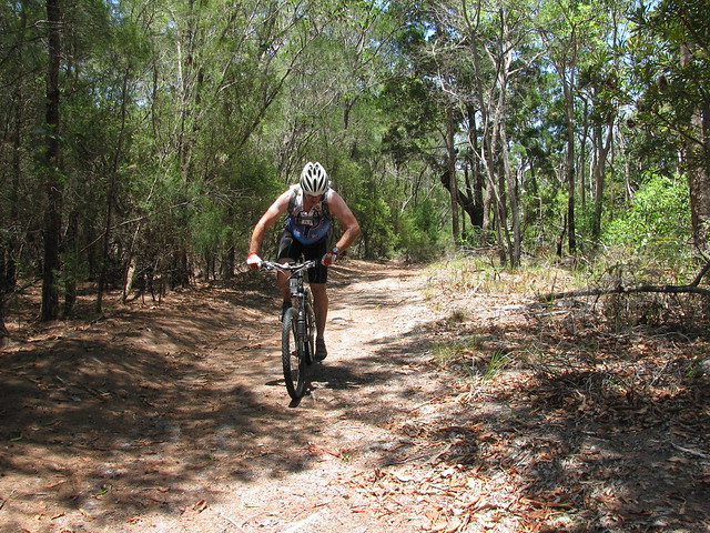
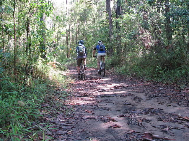
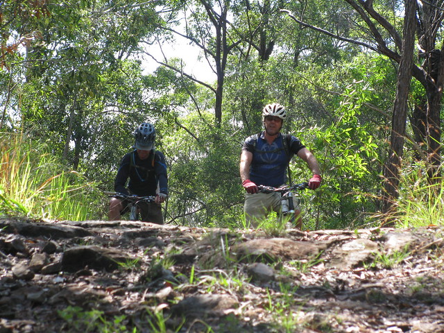
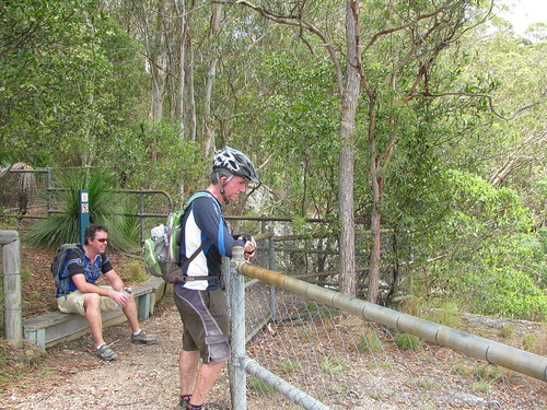
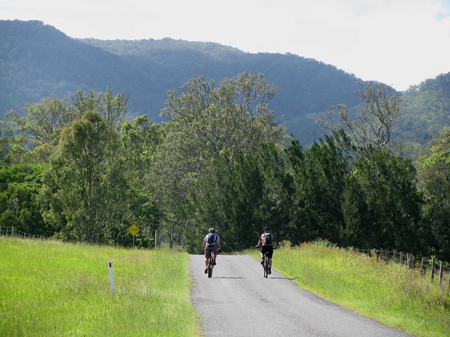
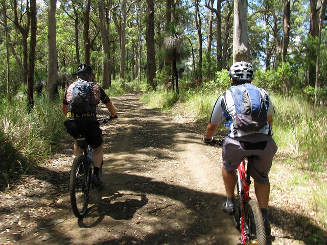
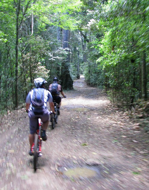
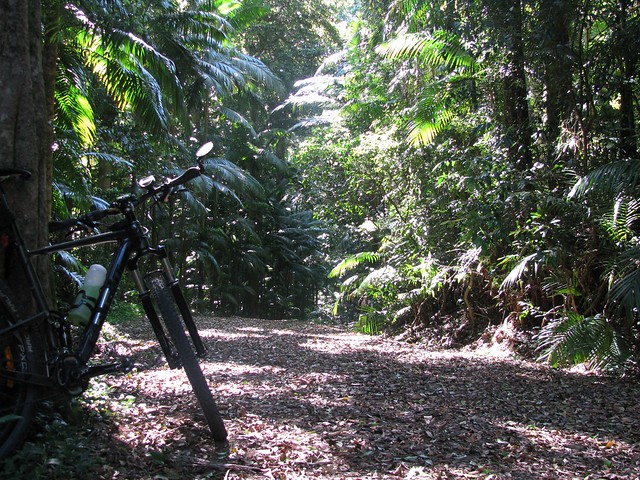
Our first stop was Daisy Hill – a large conservation park riddled with twisty single-track. I don’t mind single-track, but usually take it at my own speed – if you’re not careful it’s easy to crash, or hit your bar-ends on a tree trunk. But I found riding in a large group more challenging because I tried to keep up with the riders in front of me, while making sure I wasn’t going too slow for the people behind. The quicker pace made it a much more intense and exciting ride.

Cornubia

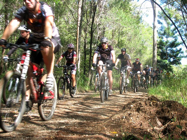
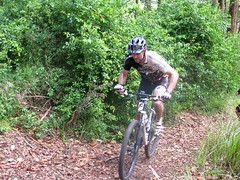
From Daisy Hill it’s not far to Cornubia. The tracks here are amazing. Built onto steep hill sides, the narrow tracks twist over the contours of the slopes through lush rainforest. It’s a tough ride, but well worth the effort.

BayviewBayview

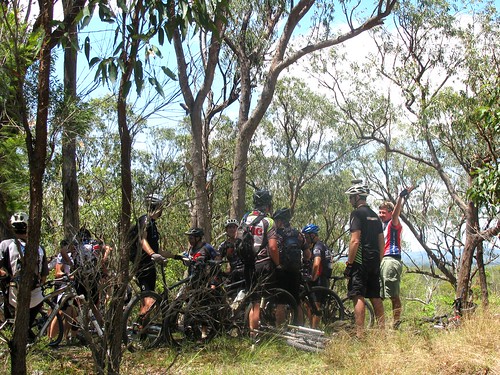
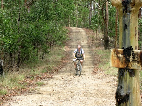
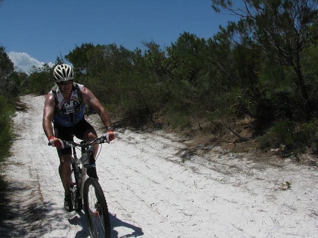
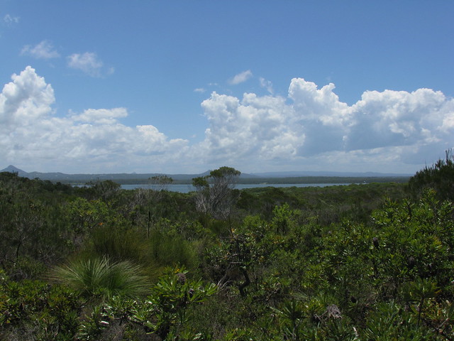
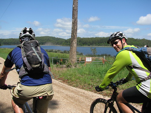
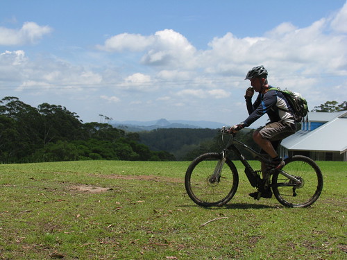
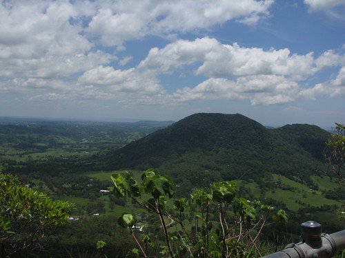
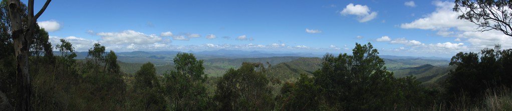
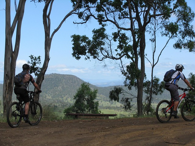
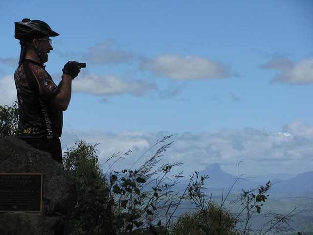
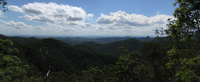
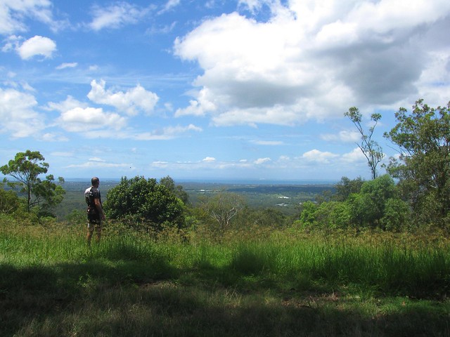
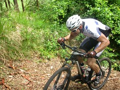
Then it was on to Bayview with tight tracks winding through closely packed she-oaks, with a gradual rocky climb up to the summit with great views to the south and west.

Lunch at Half-Way

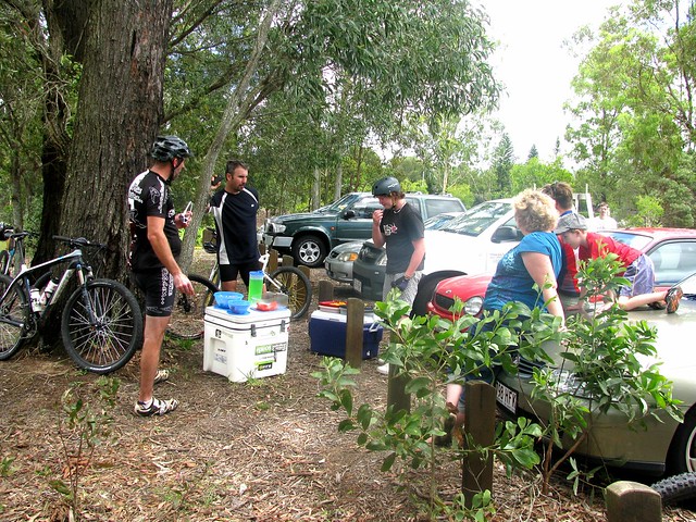
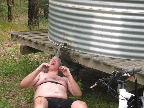
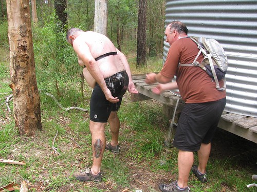
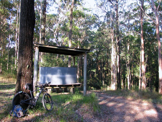
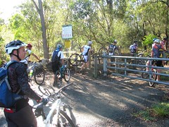
Derek’s wife Michelle provided food and drinks for us when we arrived at Mount Cotton – the half-way point.


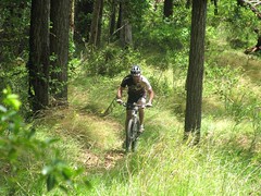
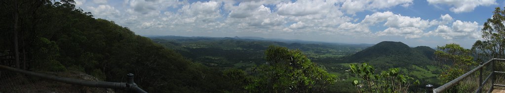
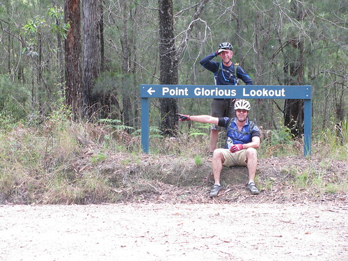
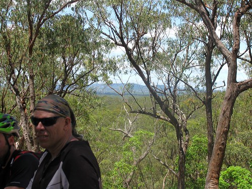
The climb up to the summit of Mount Cotton is quite steep, but it has some fantastic views. While we were catching our breath at the top, Derek asked who wanted to compete in the “Granny Ring Challenge” – a gruelling contest which basically involved riding to the botton of a very steep hill, then turning around and riding back up. Most people laughed or muttered abuse, but Jim and Jason fronted up and gave it a go… and they made it.

The Big Drop

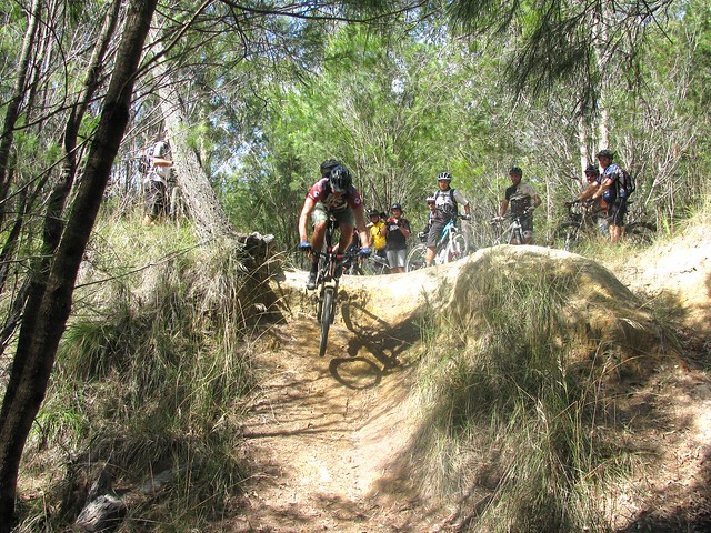
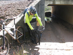
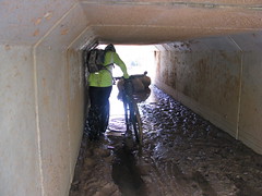
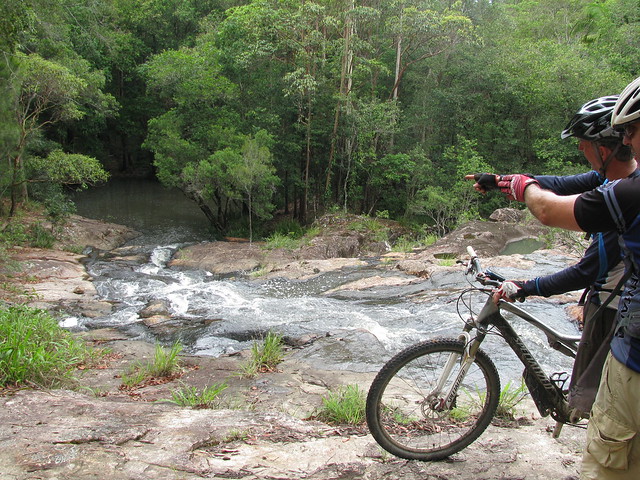
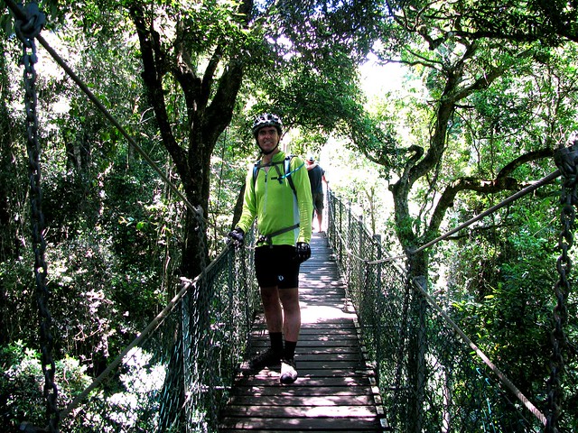
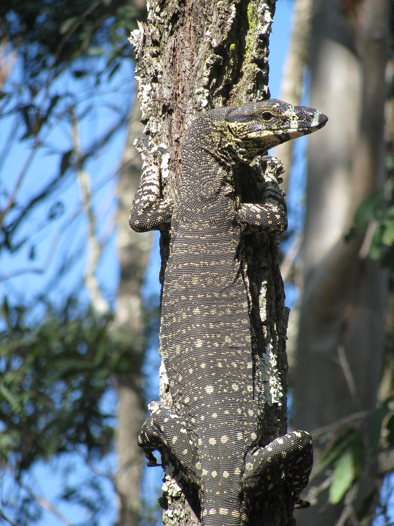
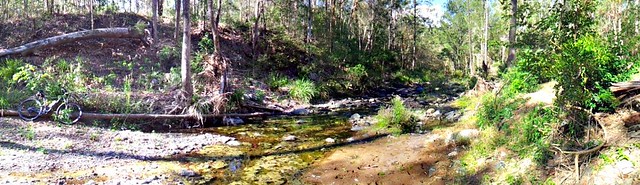
The last bit of the ride was in a forest reserve on the site of an old World War 2 rifle range in Cleveland. It’s all overgrown now, but has some fun drop-offs and creek crossings.

Back Yard Pump Track

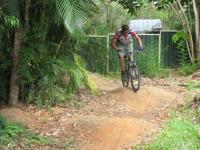
After about 9 hours, we made it back to Derek’s place, where he showed off the pump track that he has built in his back yard. The basic idea of a pump track is to roll around it without pedalling, gaining momentum by pumping the bike up and down as you roll over the humps.


We rode over 80km with almost five and a half hours moving time, climbing a total of about 1,500 metres. I burned about 4,500 kcal, consumed about 6 litres of water, 1.5 litres of sports drink, 3 chocolate bars, one meat pie, half a litre of fruit juice, and a load of fruit. The mid-summer weather, the distance, and the ascent made this a tough ride.


I’m giving it 9.5 out of 10 on the tough-o-meter, with five stars for the organization and hospitality shown to us by Derek and Michelle. Thanks guys!


Friday, December 23, 2011

Heroes

Read More

The loop along Joyners Ridge Road, Goodes Road, up to Dundas Road is steep. I love the challenge of putting in maximum effort climbing Goodes Road, and making it to the top knowing that I nailed that 5km steep climb.


Today I took a couple of my friends, Simon and Tim, with me. Like me, they also found it hard work, but they didn’t give in, and we all made it back in one piece.


The derailleur on Tim’s front chain rings stopped working, so he didn’t have “granny gear” to make the big climbs. He had to do most of the ride in middle ring, which is really difficult in hilly terrain.


Simon had agreed to come on the ride not knowing what it was going to be like, so he did it trusting in me that it would be ok.


Goodes Road - SimonGoodes Road - Tim

So I really admire these two guys for putting in a really gutsy effort on what was a tough ride.


Tim Cools OffCleaning Up

By the time we got back up to Dundas Road water tank, Tim felt like freshening up, so he lay on the ground under the tap, and turned it on full-blast. The only problem was this made the ground under him muddy, and he ended up getting covered in dirt – so Simon had to help clean him up.


Simon and Tim deserve the title of “Hero” for persevering on a tough task (like today’s ride), even though it sometimes demands more effort than we think is possible.


Well done guys!


Tuesday, December 13, 2011

Wooroi

Read More


I didn’t realize you could ride 40km from Coolum to Tewantin on dirt tracks. Today Murray proved to me that it was indeed possible, and that the tracks were a lot of fun.

Doonan Bridge Road North

After following the tracks along Stumers Creek and behind Emu Mountain, we eventually came to Doonan Bridge Road North. Last time I was here, this “road” was just several kilometres of mud and flood waters. Today it was a quiet dirt trail with lots of shade and no traffic except for a few goannas.


Garbage Bag BootsGarbage Bag BootsGarbage Bag Boots

At one stage our path crossed the Sunshine Motorway. But rather than going across the motorway, we went under it, via a storm water drain. The only problem was the drain was full of ankle deep mud. As most people who have ridden with me before will attest, I hate getting my feet wet, so I used a couple of garbage bags (which I always carry) to make a couple of waterproof coverings for my legs. This let me wade through the mud and get out the other side relatively dry.


Old Hollets Road

After riding some single tracks through some beautiful forests, and feeling like a couple of ten year old kids mucking around, we eventually had to cross the motorway again, this time via a more user friendly tunnel that was actually intended for walkers and cyclists. Thank you Sunshine Coast council!


After about 30km of dirt tracks we arrived at Wooroi State Forest, Tewantin, which is full of beautiful flowing single tracks through lush rainforests that feel like something out of “Jurassic Park”. This forest is very popular with mountain bikers and has dozens of different tracks to suit riders of all different abilities.


The track that impressed me most was “Bloodwood” – a winding hilly trail through ferns and creek crossings, which gets its name from a couple of huge Bloodwood Tree Trunks that are laying down next o the track. I didn’t get a chance to photograph them because I was too busy grinning and yelling out.

Waybe National ParkWeyba National Park

After rolling through the ritzy avenues of Noosa, we eventually made our way back off-road on the eastern side of Lake Weyba. While there’s not much climbing here the tracks are really difficult because of all the sand. So even a relatively easy slope becomes almost impossible to ride. It’s really easy for your front tyre to slide out as you ride along, and for your back wheel to spin in the sand and soak up all your power. I found the best way to handle this was to keep my weight back as far as possible, to keep the bars as straight as I could, and to go as fast as I could.


The white sand looks nice, but it acts like a mirror, so in mid-summer it reflects the heat back into your face. This was probably the most difficult part of the ride.

Lake Weyba

I loved the views out to Lake Weyba (pronounced “Why ba”).


All up 65km with a total moving time of four and a quarter hours, with total ascent of about 500m. I burned about 3,500 kcal. It scores 8 out of 10 in the tough-o-meter. In winter I’d give it 7.


Thanks once again, Murray, for showing me around your home trails. I had a great time.


Sunday, December 11, 2011

Point Glorious

Read More

Point Glorious Panorama

Last year I rode from Coolum to Point Glorious. Unfortunately at that time the weather was terrible, and I didn’t get to enjoy much of a view.


Today the views were spectacular. We were lucky to have blue skies and cool temperatures despite the gloomy weather predictions to the contrary.


Eric, Murray and I started at Yandina and headed up the Blackall Range towards Cooloolabin Dam. Not long out of Yandina, we found the trail head, and took off happily into Mapleton State Forest.

No. THAT Way!

The only problem was we didn’t have a GPS plot, so we had to rely on old-fashioned map-reading and a bit of “dead reckoning”.

Forest Track

Thankfully, that strategy paid off, and I’m grateful to Murray for having the foresight to pack a map of our ride.

I think I can

The forest is steep in parts. We had to work pretty hard at the start to get up the rocky paths. Thankfully that meant later on in the trip we would have some fun descents.

CooloolabinCooloolabin Dam

We eventually reached Cooloolabin Dam – a small artificial lake between Mapleton and Yandina. There are many trails around the dam – and it’s easy to get to by conventional motor vehicle which makes it an easy location to visit on day trips.

Bike FuelWhich Way?

From the dam it was another gnarly climb up to the lookout. It’s always a good idea to bring plenty of snacks on rides like this to keep your energy up. During humid summer days it helps to have plenty of water too.

Resting after the Climb Point Glorious

Unlike last time, the views today were breathtaking. You can see all the way to the coast, as well as all the lush green farmland in-between.


From the lookout, it’s a steep bone-jarring descent to Yandina. I was muttering words of gratitude and love to my bike all the way down. It smoothed out the bumps and kept a straight line all the way down. It’s during intense times like that when trees are flying by, when baby-head sized rocks popping up all over the place like land mines, and when the track drops away in places leaving your stomach in your chest, that having a strong reliable bike makes a big difference. It’s the difference between enjoying a ride, and being scared you’re going to be bumped off.

Browns Creek

Part way down, we discovered this refreshing waterfall on Browns Creek, full of water from last nights heavy rain. It just made it even better.


After wet weather, it definitely makes sense to head for the hills to avoid muddy bogs.


We were rolling for just under 3 hours to cover about 35km. This involved about 900m of vertical ascent, with about 2,600kcal burned.


This one scores 8 out of 10 on the tough-o-meter. The humid weather made it tougher. In winter it would be much easier (maybe only a 7).


Riding it with friends made the ride much more enjoyable, and easier.


Many thanks Eric and Murray for a great ride!


Sunday, December 04, 2011

Jingeri!

Read More

McPherson Ranges


Much of the beautiful Gold Coast Hinterland from Nerang, down to the McPherson Ranges, and up towards Jimboombah and Cedar Creek is the traditional country of the Wangerriburra indigenous people.


There’s a sign at the start of Duck Creek Road written in the Yugambeh Language which says


Jingeri wallal wahlu, yahbelehla Yugambeh (Wangerriburra) Djagun


Which translated means “Greetings all of you, going walking in Yugambeh / Wangerriburra Country.”


“Jingeri” is the Yugambeh word for the bird we know as the “Willy Wagtail”. It’s also the word for greeting. By some happy co-incidence I heard a willy wagtail twittering away while I read the sign.


So while we weren’t “going walking” today, we felt like the welcome was intended for mountain bikers as well.


Heading Out

Duck Creek Road starts as a pleasant country lane in Kerry, south of Beaudesert. For the first few kilometres it’s relatively flat and even, which allowed us to warm up gently before the climbs ahead.

Franklin Bros Lookout

At the end of the bitumen the track rises sharply to the first of several lookouts. Franklin Bros Lookout offers some great views over the local farmland.

Grass Tree

As you progress up Duck Creek Road, the vegetation slowly changes.  The forest becomes thicker, and there are more and more Grass Trees (Xanthorrhoea).  Many of them (like the one on the right of the track in this photo) are several metres high indicating an age of several hundred years.

Taking a picture

The best lookout is about two thirds of the way up and has panoramic views of the McPherson Ranges to the South West.

Rainforest Ride

Towards the top, the environment is transformed into a lush green rainforest.  It’s a pleasure to ride in the delightful lower temperatures, and cool off after the effort of the preceding climb.

Tree Top Walk

At the top there’s a suspended walkway through the tree-tops  that lets you wander through the forest canopy, 20 metres above the ground.  The walkway sways gently so it’s important to hang on, try not to rock the walkway, and (if you’re intimidated by heights) don’t look down!

King Parrot

The cafe at O’Rielly’s serves delicious mountain-bike fuel.  It also has flocks of colorful birds such as this King Parrot.  We also spotted quite a few Crimson Rosellas.  The cafe sells platters of bird food, and the parrots will swarm you and eat out of your hand (and off your plate) if you let them.


Although it took us about two hours to climb from the valley floor to the top, it only took us 25 minutes to ride back down.  The fast descent was exhillarating.  We overtook over half a dozen four wheel drives slowly trundling down the track, and were grateful for them pulling over to the side to let us pass.


All up, 38km with 1,100m of vertical ascent, and 3,000 kcal burned.  Although some bits of the road are steep, I’m giving this one 8 out of 10 on the tough-o-metre.  It’s a pleasant ride.  All you need is half a day.  Most fit riders will be able to ride the whole way.  Just keep an eye out for on-coming 4wd traffic on the way down!


Wednesday, November 30, 2011

Joyners Ridge

Read More

Westridge Outlook

A few months ago I rode a loop down Joyners Ridge Road at Mt Glorious which included a tough climb up Goodes Road. Last time I had to walk up some of the steep bits, but this time I gave it all my effort, and conquered the hill :) I think the weekly sessions smashing hills at Clear Mountain must be paying off!


I started at the bottom of “The Goat Track” and slowly climbed up to Westridge Outlook for a quick rest and some great views westward to Wivenhoe Dam and the Great Dividing Range.

Joyners Ridge Road

The road then went higher up to Mount Glorious before the long descent down Joyners Ridge Road, through the rainforest, all the way down to England Creek at the bottom.


Joyners Ridge Road is wonderful to ride down. The rainforest at the top gives way to open forest with great views over the mountains.

Goanna

You see quite a few of this fat goannas in D’Aguilar National Park.

England Creek

England Creek marks the bottom of the 9km descent. It’s a good place to have a break because from this point, it’s a 4.5km, steep, slow climb up to Dundas Road, gaining 450m.

Dundas Road

All up, about 35km with about 1,250m of vertical ascent and 3,300kcal burned. I’m giving it 8 out of 10 on the tough-o-meter.