
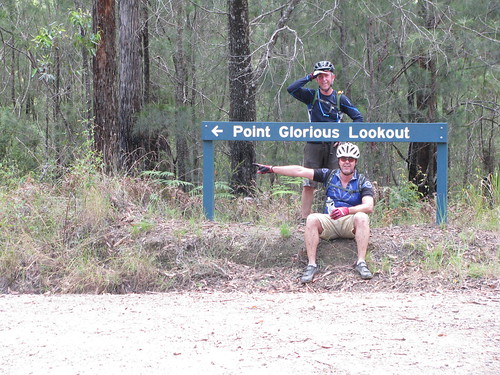
Last year I rode from Coolum to Point Glorious. Unfortunately at that time the weather was terrible, and I didn’t get to enjoy much of a view.
Today the views were spectacular. We were lucky to have blue skies and cool temperatures despite the gloomy weather predictions to the contrary.
Eric, Murray and I started at Yandina and headed up the Blackall Range towards Cooloolabin Dam. Not long out of Yandina, we found the trail head, and took off happily into Mapleton State Forest.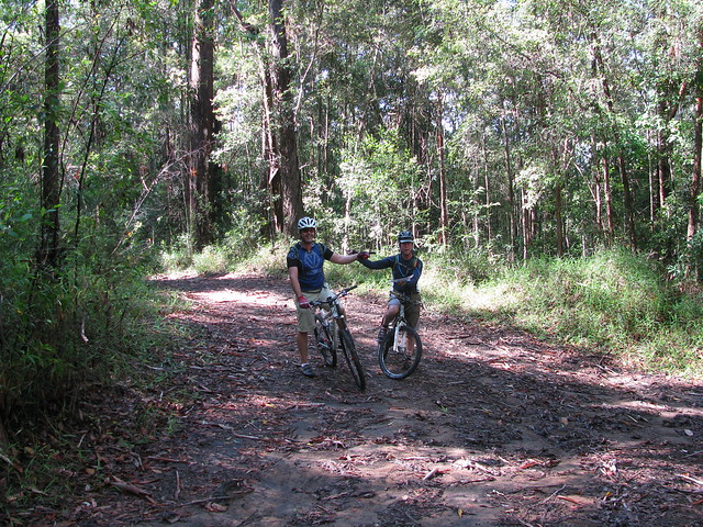
The only problem was we didn’t have a GPS plot, so we had to rely on old-fashioned map-reading and a bit of “dead reckoning”.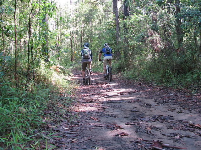
Thankfully, that strategy paid off, and I’m grateful to Murray for having the foresight to pack a map of our ride.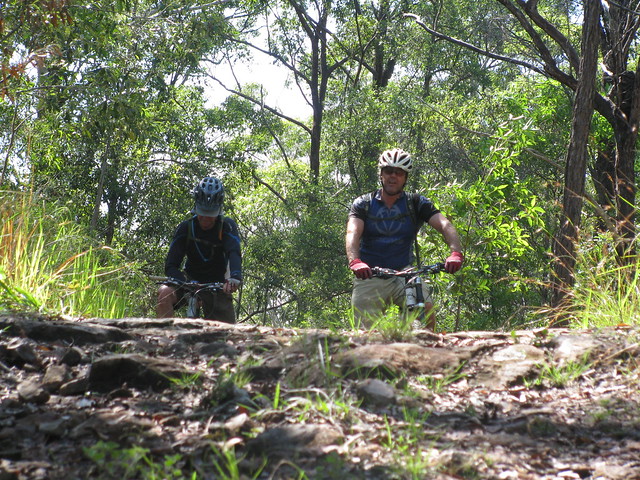
The forest is steep in parts. We had to work pretty hard at the start to get up the rocky paths. Thankfully that meant later on in the trip we would have some fun descents.
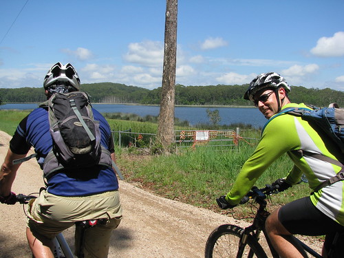
We eventually reached Cooloolabin Dam – a small artificial lake between Mapleton and Yandina. There are many trails around the dam – and it’s easy to get to by conventional motor vehicle which makes it an easy location to visit on day trips.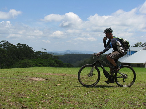
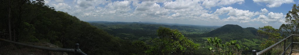
From the dam it was another gnarly climb up to the lookout. It’s always a good idea to bring plenty of snacks on rides like this to keep your energy up. During humid summer days it helps to have plenty of water too.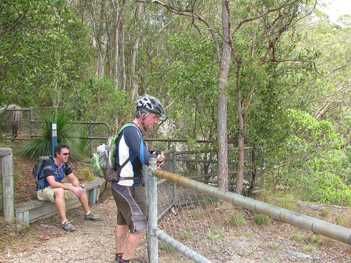
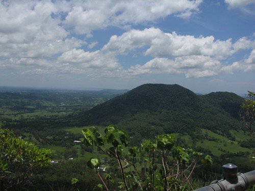
Unlike last time, the views today were breathtaking. You can see all the way to the coast, as well as all the lush green farmland in-between.
From the lookout, it’s a steep bone-jarring descent to Yandina. I was muttering words of gratitude and love to my bike all the way down. It smoothed out the bumps and kept a straight line all the way down. It’s during intense times like that when trees are flying by, when baby-head sized rocks popping up all over the place like land mines, and when the track drops away in places leaving your stomach in your chest, that having a strong reliable bike makes a big difference. It’s the difference between enjoying a ride, and being scared you’re going to be bumped off.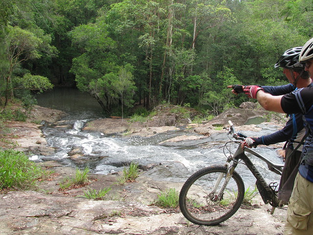
Part way down, we discovered this refreshing waterfall on Browns Creek, full of water from last nights heavy rain. It just made it even better.
After wet weather, it definitely makes sense to head for the hills to avoid muddy bogs.
We were rolling for just under 3 hours to cover about 35km. This involved about 900m of vertical ascent, with about 2,600kcal burned.
This one scores 8 out of 10 on the tough-o-meter. The humid weather made it tougher. In winter it would be much easier (maybe only a 7).
Riding it with friends made the ride much more enjoyable, and easier.
Many thanks Eric and Murray for a great ride!
No comments:
Post a Comment