Please note: you can find a more up to date version of this blog at http://blog.neilennis.com

Sunday, September 23, 2012

Waka Waka Boulders

Read More

Rock Formations

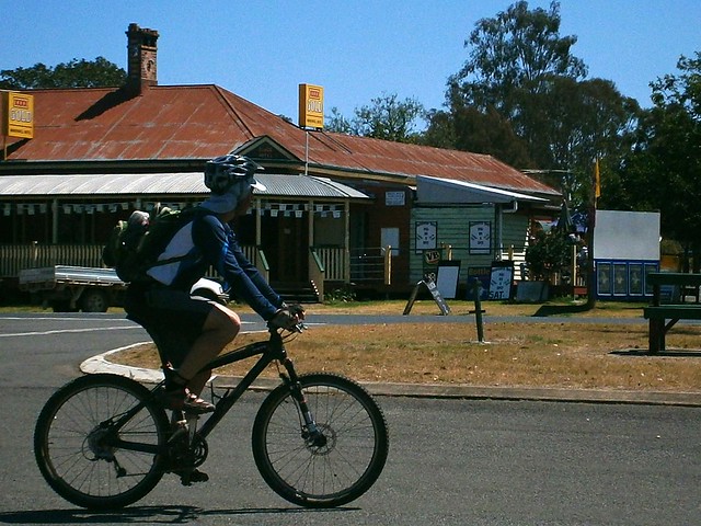
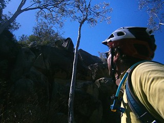
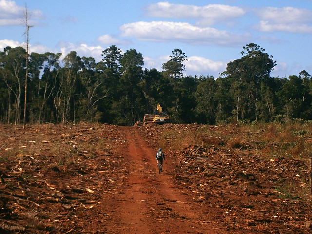
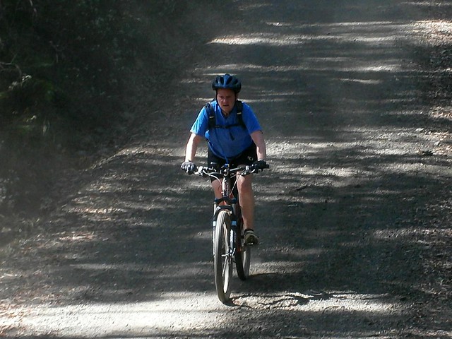
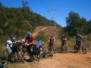
Last week’s ride around Maidenwell was so fascinating that Eric and I decided to go back today and do a bit more exploration.


In 1986, Archaeologist and Paleoanthropoligist, MJ Morwood wrote a paper entitled “The Archaeolofy of Art: Excavations at Maidenwell and Gatton Shelters, Southeast Queensland”, which describes the results of a research project into social and economic complexity in Aboriginal society. One focus of the project was a rock shelter near Maidenwell which was culturally important to the Waka Waka people, and included rock-art and stone tools.


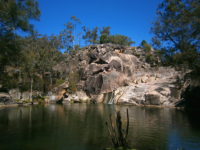
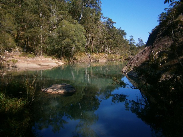
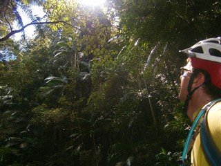
Eric and I were hoping to find the rock shelter. But more importantly we wanted to experience first-hand this magical place of impossibly placed boulders, wedge-tailed eagles and monoliths carved into amazing shapes by the hands of time.

P9220041_CopyRock Formations

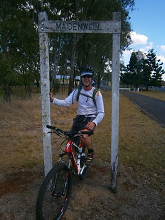
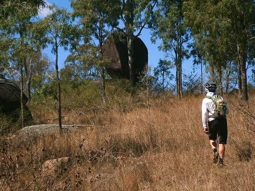
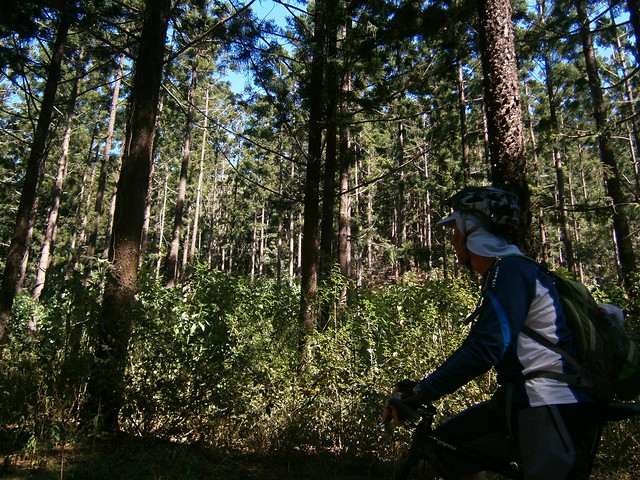
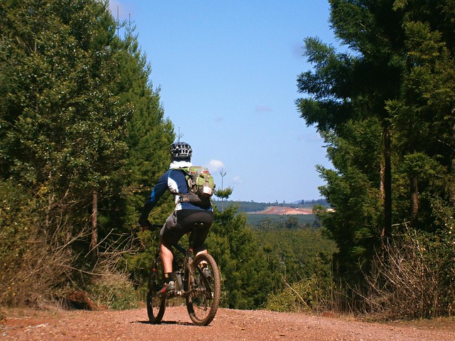
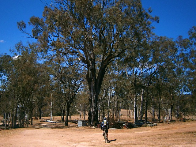
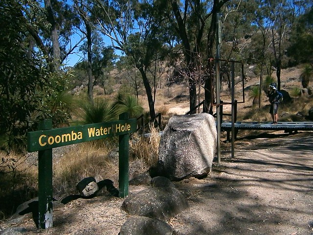
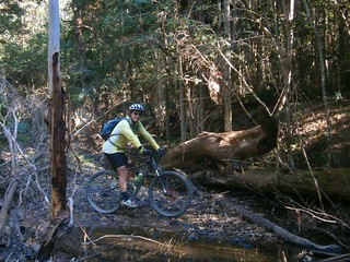
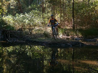
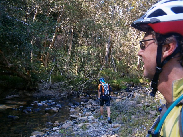
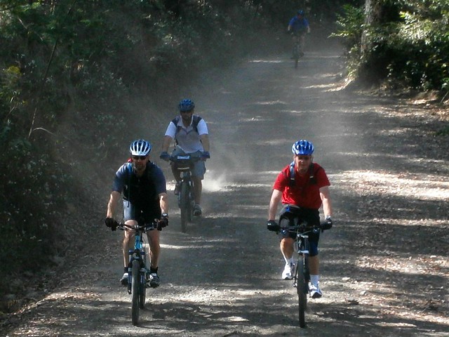
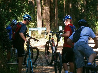
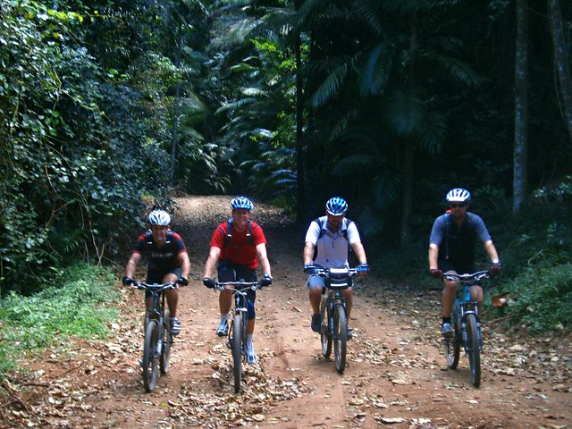
We started our ride at Maidenwell, and headed west out of town until we found an old dirt track heading into the bush. Bain’s Road is named after Ron Bain who was mustering cattle in the area in 1972 and accidentally encountered the rock shelter. We ditched the bikes part way along this “road” and decided to go for a bit of a wander in the scrub.

Rock Formations

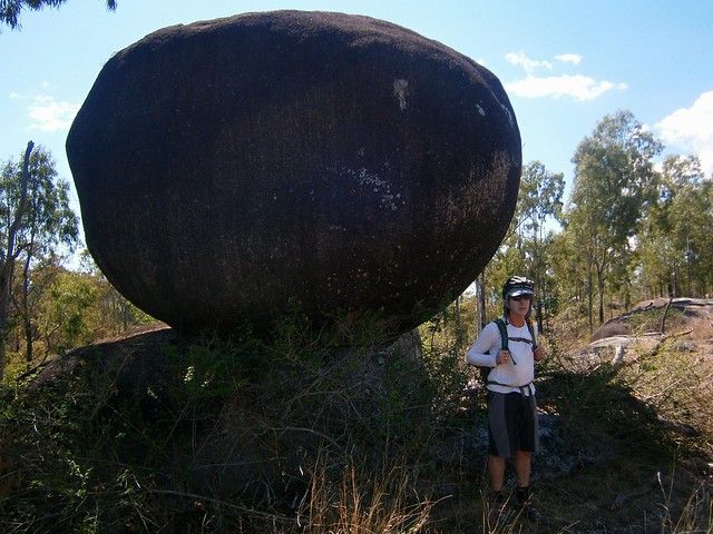
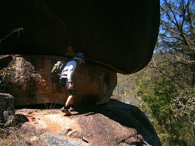
The thing that immediately struck us was the way many of the huge boulders were perched in such precarious positions. It looked like some dream-time super human had picked them up and scattered them like play-things.

Wedgetailed Eagle Next

Wedgetailed Eagle NextWedgetailed Eagle Nest

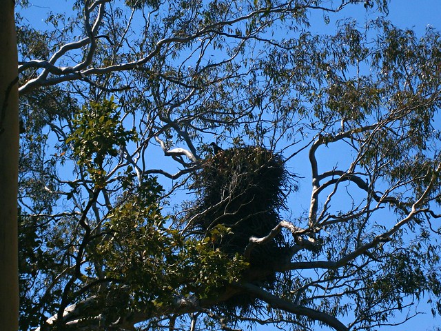
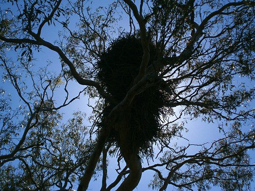
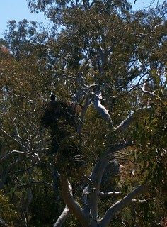
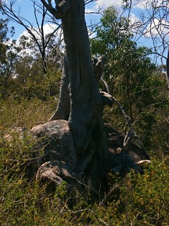
As we scrambled over rocks and through the lantana, we encountered this amazing Wedge-tailed Eagle’s nest, containing a solitary chick. Mr and Mrs Eagle were aparently out hunting for small dogs and stray children. The nest was perched atop a tree, over ten metres above the ground. But most impressive was the way the eagles had added to the nest each year until it was over two metres in height. I’d never seen such a huge nest before.

Rock FormationsRock Formations

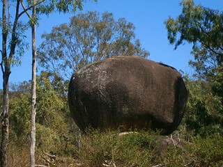
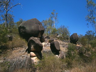
While we were trying to find the rock shelter, we kept encountering weird formations that looked like celestial marbles, or an Aboriginal “Stonehenge”.

Rocky Whale

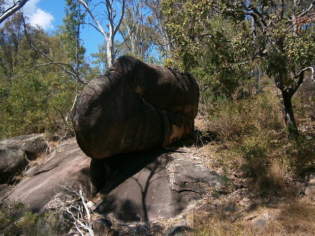
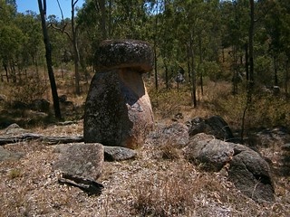
This one looked uncannily like full-scale replica of a whale.

Rock FormationsRock Formations

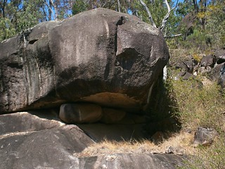
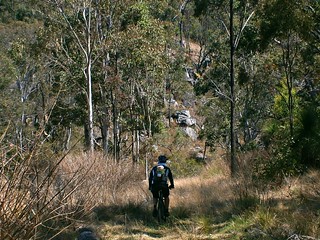
As we bashed through thick lantana, and scrambled clumsily over rock-faces in our cycling shoes, the rocks formations got stranger and it became obvious why this place is so spiritually important to the Waka Waka.

Rock Formations

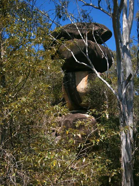
This one was stunning. How the heck do you end up with 4 boulders, each probably weighing ten tonnes, to sit on top of each other like that. Eric, the geologist, tells me it’s a result of millennia of weathering. My gut feelings suggested more supernatural origins.


Rock Formations

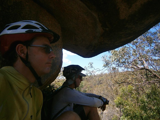
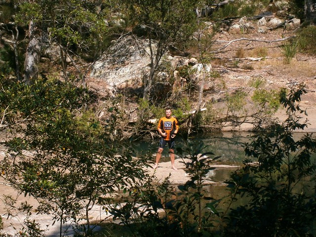
Eventually the heat and lantana scratches got a bit much, so we sat in the cool shade of an overhanging boulder and had a short break and a snack.

OrchidsRock Formations

Rock Formations

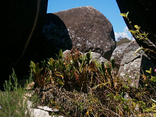
Although the rock shelter eluded us, we both felt like we had an awe-inspiring experience wandering among these granite monoliths.

Chimney of Horrors


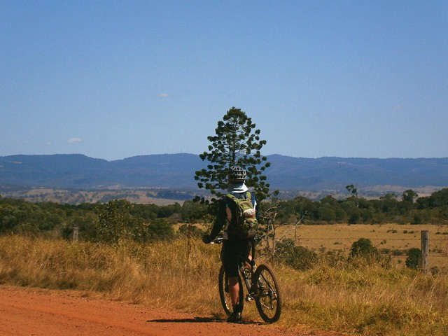
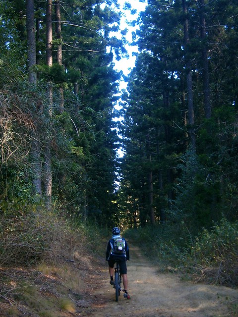
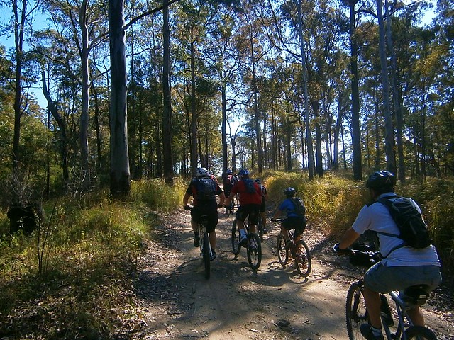
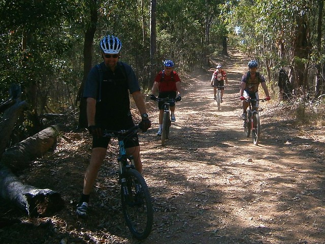
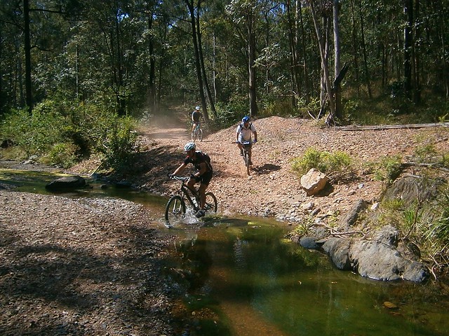
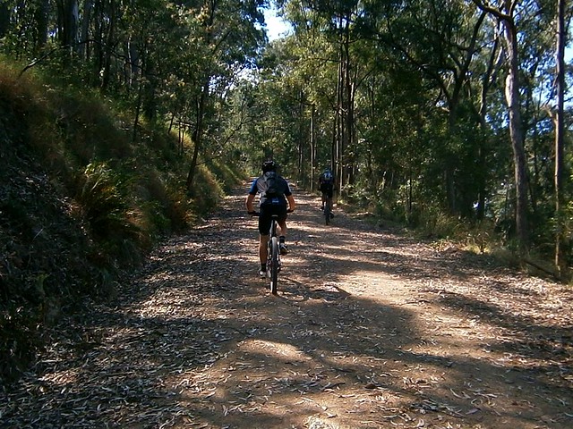
The loop we did on the bikes out of Maidenwell was only about 12km. The ride down Bain’s Road and Brooklands Peron Road is a lot of fun on a mountain bike and relatively easy. Some of the other tracks that we visited in the area are on private property, and should not be accessed without permission.


Sunday, September 16, 2012

Maidenwell

Read More

Coomba Falls

Maidenwell is a small town in South-East Queensland’s South Burnett district. It’s a two and a half hour journey by car north-west of Brisbane. The town is a gateway to the nearby Bunya Mountains, but is also known for its large privately owned astronomical observatory, and the spectacular Coomba Falls.


My friend, Eric, is planning a social ride in this area in a couple weeks, so I jumped at the chance to ride through it with him today and help him work out the best route.


Hoop Pine Forest

We started at Yarraman, a beautiful timber town on the D’Aguilar highway. Yarraman is surrounded by Hoop Pine plantation forests. Plantations can sometimes be monotonous places, but not here. Majestic Hoop Pines (Araucaria Cunninghamii) are native to South East Queensland. Even when planted in regimental rows, they are still beautiful serene giants. They don’t cause a toxic monoculture like introduced plantation pines (Pinus Radiata and Pinus Elliotti). So you’re more likely to find healthy and diverse ecosystems in Hoop Pine forests – even plantation forests.


Forest Summit

We followed a few forestry trails westward from Yarraman. The roads undulate for about ten or fifteen kilometers, slowly rising to a peak of about 660 metres above sea level. This provides some moderate climbs, with a few enjoyable fast descents down the smooth clay roads, as well as some great views.


Bunya Mountains

As we progressed further, we were able to see the Bunya Mountains to the west.


Maidenwell

After working hard to get up some of those hills, I was glad to arrive in Maidenwell around lunch time, and devoured a delicious steak sandwich. It’s a beautiful small country town with a pub, general store / cafe and small war memorial.


Jean Johnston

It’s also a very friendly place. Jean and Neil Johnston live on a farm nearby. Jean very kindly let Eric and I ride through some of the trails on her farm.


Old Iron Bark

They haven’t had rain in this area for a few months, so the ground is starting to look a bit dusty. Jean says she loves this old Iron Bark tree. They grow very slowly, and this specimen is huge, so Jean thinks it’s at least several centuries old.


Rocky Outcrops - MaidenwellRocky Outcrops - Maidenwell

Rocky Outcrops - MaidenwellRocky Outcrops - Maidenwell

The Johnston’s property is home to some spectacular rocky outcrops. Jean told me this whole area is very important to the Wakka Wakka aboriginal people. There are a couple of Bora Rings nearby, and even some ancient rock art. Jean’s neighbor, Max Forsyth has visited the rock art and tells me one of the paintings is of a whale. This is amazing because the ocean is 200km away. Max says he thinks the paintings were done by Aborigines visting from the Hervey Bay area.


Coomba Falls

Once we left the Johnston property, Eric and I followed a stock route to Coomba falls…


Coomba Falls

Coomba Falls is a very special place for a number of reasons.


The falls have created deep permanent water holes which serve as refuge from drought for the local plant an animal life.


A unique hybrid variety of the Grass-Tree (Xanthorrhea) grows here. It’s not found anywhere else.


More importantly, these water holes were an important part of the life of the local Wakka Wakka people before European settlement. During extened dry periods with no or little rainfall, they could always rely on the Coomba waterholes to provide fresh water.


Tragically, the falls were the site of a massacre in the 19th century.


European settlers killed hundreds of aborigines here, including women and children. Some reports say that the bodies were thrown into the water hole, and that there are human remains at the bottom of the deep pools.


As a result, local aboriginal people never go here any more. Ironically this place of beauty and refuge is now a place of deep sorrow for them.


Hoop Pine Cathedral

From Coomba Falls, Eric and I continued our trek along an old overgrown stock route. We had to scramble over a few fallen trees before eventually making our way back onto the forestry roads.


We took a few different roads through the forest back to Yarraman. In some places, with towering Hoop Pines either side of us, I felt like I was in a natural cathedral.


Timber Harvest

Eventually the forest opened up as we entered some areas where the timber had been harvested recently. It takes about sixty years to grow a Hoop Pine plantation forest. The area looks bleak after harvesting. It’s sad, but on the positive side, it seems to be reasonably sustainable. The trees are native to the area, and for most of those sixty years we get to enjoy (and ride through) a beautiful forest. I think I can live with that.


We rode 63km in just over 6 hours including breaks. All up we climbed about 1,200m and I burned about 4,000 kcal (about 7 Big Macs).


I’d rate this one 7.5 out of 10 on the tough-o-meter. Take plenty of water and snacks. It’s a long time out in the sun, so make sure you re-apply sunscreen a couple of times during the day.


Thursday, September 13, 2012

Bath Time

Read More

Dianas Bath

It’s taken two years and a couple of attempts but today Aaron and I finally made it to Dianas Bath.


Dianas Bath is a spectacular rock pool in the northern section of D’Aguilar National Park, fed by Byron Creek. It’s very difficult to get to – even if you have a 4WD (which I don’t), and it’s surrounded by steep hills, thick scrub and large boulders.


Todays ride started at the bottom of Wirth Road at Laceys Creek.


We slowly ground our way 6km to the top of the hill, then meandered through the forest until we reached Jacky Creek Road. This is a steep descent which switches back and forth down the mountain and devolves into some really fun steep single track towards the bottom.

Jacky CreekJacky Creek

Jacky Creek is a quiet pretty stream, but it flows in all weather, so it’s a bit of a challenge to cross. We managed to get to the other side and stay dry, which was quite an achievement.


From there we followed Dianas Bath Road to the end. This is a steep climb followed by a steep descent. In the past I found it so steep I had to push the bike in some parts. Today I just kept my head down and kept pushing the pedals around, and made it to the top. I was really pleased to tick this hill off the list. I must give credit to my riding buddy, Aaron, who spurred me on.


Byron Creek

Eventually we had to leave the bikes behind and rock-hop along Byron Creek. This is tough because cycling shoes aren’t designed for walking in. Mine have carbon-fibre soles which hard hard and slippery. Walking on rocks in shoes like this is really difficult. In addition, the track was overgrown, we had to scramble over a few fallen trees, and the banks either side of the creek are steep and strewn with boulders. Oh, and did I mention the thorny “wait-a-while” vines that wrapped around our limbs?


Dianas Bath

After about half an hour of scrambling along the creek, we finally reached Dianas Bath. I was delighted. It was prettier (and bigger) than I imagined. My only regret was not bringing some swimmers. This place would be a lot of fun to swim in.

Aaron

Aaron took his shoes off and waded in the water while I kept scrambling around on the edge of the pool looking for a Geo Cache.

Found It!

My friend, Paul, created the Dianas Bath Geocache a few years ago. A Geocache is a small container containing trinkets and a log book. There are millions of them hidden all over the place. You can find out more here. I was delighted to finally log this cache after two years.


Goanna

From there we headed back towards Mount Brisbane Road for the ride back to the cars, dodging lots of friendly goannas along the way.


Today we rode 52km in about five and half hours (including stops). We climbed about 1,750m of vertical ascent. I burned about 5,200kcal.


The ride included many slopes in excess of 25%, and some gradients in excess of 30%. This means you need to be fit enough to ride up the hills (or push your bike up), and confident enough to ride down them. Some of those slopes are slippery with dust or gravel.


I’m rating this one 9 out of 10 on the tough-o-meter. Take lots of water and plenty of snacks. Don’t do it in wet weather. Watch out for 4WD’s.


Thanks Aaron for a fun ride :)


Sunday, September 09, 2012

Mount Glorious

Read More

Hammermeister Road

My friend David told me he and a few mates were interested in exploring D’Aguilar National Park. So I jumped at the opportunity to organize a social ride along some of my favourite tracks there today.

Goat Track

As with most expeditions in D’Aguilar NP, this one started with a short climb up the Goat Track which affords great views out to Moreton Bay, but you’ve got to work for it as you climb 400m in just over 3km.

Hammermeister Road

Rather than follow the bitumen at the top, we elected to ride up Hammermeister Road – a steep dirt road to the west of Mount Nebo. The road is named after Lou Hammermeister who started working in the timber industry at Mount Nebo during the Second World War and continued there for almost twenty years.


According to the Mt Nebo local newspaper “Mountain News“, Lou lived at Mount Nebo for over 60 years. He blazed any of the roads and fire trails in the area using his dozer. He also used his dozer to help build an Oval and Tennis Court at the Mt Nebo School. Lou started as a timber cutter, moving to Main Roads when logging at Nebo ceased in the 1960′s. As someone who regularly rides at Mount Nebo (including Hammermeister Road), I am grateful for Lou’s legacy.


Hammermeister Road

A lot of my friends enjoyed Lou’s legacy today too :)


Dundas RoadSixty-niner

From there it’s a short jump to Dundas Road behind the transfer station at Mount Nebo. This is where the long descent to England Creek begins. A few of the riders, including Jeff (pictured) took the opportunity to drop some of the pressure in their tyres to get a bit more grip on the dusty track surface. It was then I realized Jeff was riding a hybrid bike. It had a 29 inch front wheel and a 26 inch rear wheel. Bikes with 29 inch wheels are affectionately called “Twenty niners”. But when you’ve got “one of each” on your bike, the collogual term for the bike is a “Sixty-niner”. Jeff’s bike is even stranger. The front fork only has one staunchion on the left-hand side. So this is the only “Lefty Sixty-niner” that I’ve ever seen.

Goodes Road

From Dundas Road we rode into Goodes Road and enjoyed the quick drop down the mountain. It’s difficult to enjoy the spectacular views while riding so fast, but I think we managed. One of the “surprises” on Goodes Road is a gate across a steep section of road half-way down, which can sometimes cause riders to skid as they grab the brakes to avoid hitting the gate.

Fixing a punctureFixing a puncture

Unfortunately, Jeff got a puncture during the descent. This was when I discovered another surprise about “lefty” forks. You don’t need to remove the front wheel to change the inner tube. Since there’s only one staunchion, you can remove the tube while the wheel is attached. Amazing stuff.

England Creek

After fixing the puncture, we enjoyed the final sketchy descent down to England Creek and splashed through the creek crossing before having a break.

Joyners Ridge Road

It’s worthwhile having a break at England Creek because it takes about 90 minutes to ride from there up to the top of the hill on Joyners Ridge Road. It’s not steep (as mountain bike hills go) but it is still a long climb.

Becca - Joyners Ridge Road RainforestI've seen the light

The highlight of riding up Joyners Ridge Road is reaching the Rainforest at the top. It’s a lush, cool, green reminder that the climb is over. I think we all heaved a sigh of relief once we reached the top.

We did it!


All up, this ride was about 35km with about 1,300m of vertical ascent. It took us 5 hours including breaks and repairs (we had a long lunch at the Mt Glorious Cafe), and I burned about 3,000kcal. Wtih todays perfect cool spring weather, I rate this one 7.5 out of 10 on the tough-o-meter. Add an extra point in summer or wet weather.