Please note: you can find a more up to date version of this blog at http://blog.neilennis.com

Wednesday, January 26, 2011

D’Aguilar Range National Park

Read More

Jollys Lookout Panaorama

To celebrate Australia Day, Liz and I took the kids for a walk through the rainforest in D’Aguilar National Park.


There are various traditional owners of the D’Aguilar Range area, including the Turrbal, Garumngar and Jinibara Aboriginal people. The country is magical: the calls of Bellbirds ringing in the forest, the cool mountain breezes, the dense rainforest and the towering majestic tress. I can only wonder what it would have been like thousands of years ago before European settlement.

Maiala Rainforest

We started our walk through the “Rainforest Circuit” in the Maiala section of Mount Glorious. We followed an easy 2km trail through some lush rainforest.

Harrison at MaialaLiz and Lilly at Maiala


At different points in the forest we spotted giant Sydney Blue Gums towering over the forest. Before this area was logged in the 19th century, the area was full of these majestic trees. Now they’re much scarcer.

Giant Sydney Blue Gum


We then finished our walk following the trail from the “Western Window” lookout, through the bush back to the car park, before driving down to Jollys Lookout for some stunning views of the Greater Brisbane Area – no wonder Lord Mayor William Jolly built a road to it in the 1930’s!

Jollys LookoutThe Four of Us


Sunday, January 23, 2011

Mount Nebo

Read More

Mount Nebo Summit

The kids were a bit restless this morning, so we decided to burn up some of their excess energy by taking them on a hike. We drove up into the D’Aguilar Ranges and hiked from the road to the Summit of Mount Nebo (620m) and back – a total of about 6.5km.


We followed a forestry fire trail for about 2.5km to the summit, and came back via a walking track on the southern side of the ridge, which meant we were able to check out a number of different ecosystems.

Liz and the KidsNeil at Mt Nebo

Lilly in a Tree StumpMount Nebo Walking Track


It’s a different world in the rainforest. Worries seem far away!

Palm Forest


Let’s do this again soon :)


Wednesday, January 19, 2011

Mangoes at Clear Mountain

Read More

Liz in the Mango OrchardMango OrchardMango Orchard

It was getting late in the afternoon, and neither Liz nor I had done any exercise for the day. It was too late in the afternoon for me to consider going on the roads in peak hour in the dying light, so we decided to go for a walk along one of my favourite mountain biking tracks at Clear Mountain.


It’s a state forest reserve, but it doesn’t take much looking to realize that this land had other uses. Right at the start of the walk there’s a very old orchard of Mango trees poking out of the undergrowth. The only problem is either someone got there before us, or the wind in the storms was particularly strong, because there’s no mangoes on the trees at all.


The route we took is a great one-hour workout with about half a dozen steep hills to walk up and plenty of peaceful looking scenery to check out along the way.


Where's My Stump?

Perhaps the strangest looking thing was this Eucalypt which appeared to be suspended in mid-air without any stump – an entire tree that must weight a ton. I’m guessing the stump burned away during bush fires last year, and the rest of the tree ended up nestled into one of its neighbors. It’s still a weird looking sight.


God its good to get out into the bush!


Sunday, January 16, 2011

One Mile Creek

Read More

There are two major creeks in our area with misleading names. One Mile Creek is about Seven miles long. Four Mile Creek is about Ten miles long. Both creeks have their source in the beautiful bushland of Clear Mountain. Here’s some pictures of my ride through Clear Mountain and over the upper reaches of One Mile Creek.


Clear Mountain - Centre Road

This is the trail head of one of my favourite rides through Clear Mountain. Starting at the top of the mountain near Old School Road, Centre Road winds steeply down the hill through the eucalypts to a few crossings over One Mile Creek.


There are lots of trees, lizards and no sounds except bird calls and wind through the leaves.


It’s a great place to ride, and I’m so glad most of it is a state forest reserve.


Clear Mountain - One Mile Creek

The crossings over One Mile Creek have created some steep banks which are challenging to cycle in and out of, but are always enjoyable.


Friday, January 14, 2011

Noosa Heads

Read More

When most people think of Noosa Heads they think of Hastings Street and pretentious yuppies sipping latte’s or Chardonnay.


The best part of Noosa Heads is the National Park – a vast expanse of unspoilt wilderness covering most of the headland with a heap of different ecosystems.


When the sun came out for the first time since who knows when, Liz and I decided to take the kids for a 6.5km hike around the national park, and we’re really glad we did. Here’s some photos of our walk:

Noosa Heads National Park

Liz and the kids enjoying one of the trails in the park


Noosa Heads National Park

Harrison checks out the view of one of the headlands.


Hell’s Gates


Noosa Heads National Park

The kids and I enjoy a break at “Hells Gates” partway through our walk through the national park.


Noosa Heads National Park

Lilly and Harrison having fun at one of the lookouts on the headland.


Saturday, January 08, 2011

Coolum Dirt Roads

Read More

Darned Rain

It was pouring rain at the resort we’re staying at. What better reason to get out for a ride? A bad wet day on the bike will always beat a good dry day in front of the TV. So I took off into the bush west of Coolum looking for dirt roads and rain forests.


Pineapple Farm, Huon Road, Yandina Creek

I found a dirt road leading off behind a farm, but the road wasn’t marked on the map. So it I had to follow it to see where it ended up. This is a stitched together panorama of one of the pineapple fields adjoining the road.


Road through the Forest

One of the many dirt roads through the rain forest near Peregian Springs, on the Sunshine Coast, Queensland.


Dirt roads are underrated. Mountain bikers love single track, and rough trails, but in rainy weather it’s pretty difficult to find any tracks or trails that won’t get damaged, or end up boggy and impassable. The dirt roads west of Coolum are a great compromise.


Wednesday, January 05, 2011

Dundalli

Read More

Dundalli Sketch by Sylvester Diggles, 1854

Dundalli Sketch by Sylvester Diggles, 1854


Dundalli was an Aboriginal leader and fighter from the Dalla people of the Blackall Ranges who was eventually adopted by the fearsome Djindubarri people of Bribie Island in the 1840’s.


He was convicted of the murder of Andrew Gregor and Mary Shannon in 1846. People much more qualified than I have described how the trial and conviction of Dundalli were unjust. I won’t regurgitate those arguments here, but if you’re interested, you might like to read some articles by Dr Libby Connors and Dr Dale Kerwin.


His execution was particularly gruesome. The hangman botched it while his distraught relatives looked on in horror from the hillside on what is now Wickham Terrace. The rope was too long, at the drop Dundalli actually landed on his coffin, and the hangman had to bend his legs and drag down on them to kill him.


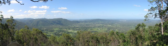
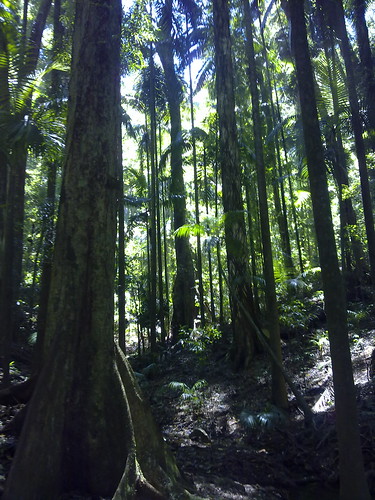
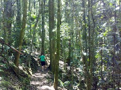
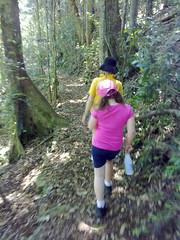
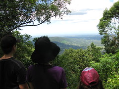
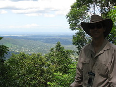
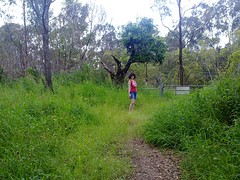
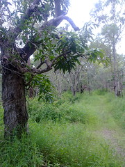
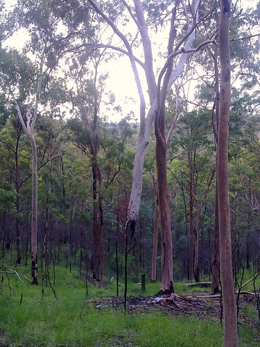
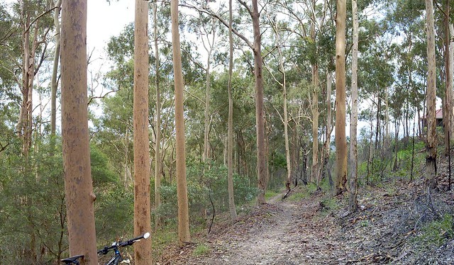
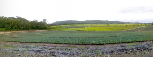
This happened exactly 156 years ago today. So I decided to honour Dundalli by cycling into the city to the GPO and back (about 80km), stopping by “Yorks Hollow” – an important traditional camping ground for Aborigines prior to European settlement.


York's Hollow

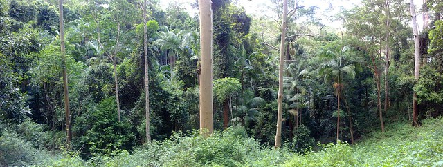
Yorks Hollow used to cover most of what is Victoria Park Golf Course and the Exhibition Grounds. Today it’s little more than a small park beside the busy Inner City Bypass motorway. But it’s still a beautiful park – especially when you pause to think about what it was.


In her book, “Tom Petrie’s Reminiscences of Early Queensland”, Constance Campbell Petrie says of it:


Another big “tulan” or fight, Father remembers at

York’s Hollow (the Exhibition). He and his brother Walter

were standing looking on, when a fighting boomerang thrown

from the crowd circled round, and travelling in the direction

of the brothers, struck Walter Petrie on the cheek, causing

a deep flesh wound. The gins and blacks of the Brisbane

tribe commenced to cry about this, and said that the weapon

had come from the Bribie blacks’ side, and that they were

no good, but wild fellows. The brothers went home, and the

cut was sewn up. It did not take long to heal afterwards.


At that fight there must have been about eight hundred

blacks gathered from all parts, and there were about twenty

wounded. One very fine blackfellow lost his life. His

name was “Tunbur” (maggot). In the fight he got hit

on the ankle with a waddie, and next day died from lockjaw.

They carried the remains, and crossed the creek where the

Enoggera railway bridge is now, and further on made a fire

and skiimed the body and ate it. My father knew ” Tunbur”

well; he was one of the blacks who accompanied grandfather

Petrie on his trip in search of a sample of ” bon-yi ” wood.


The GPO

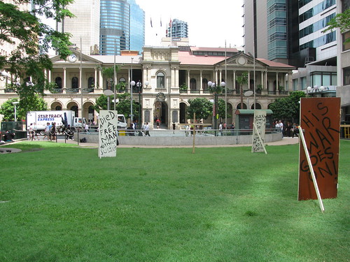
I was pleasantly surprised to find out someone else had the same idea and had erected some signs about Dundalli in Post Office Square across the road from the GPO. The GPO was actually built in 1871 on the site of the old Female Convict Factory.


The GPO

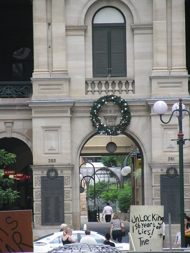
What struck me today was the irony. Here was a war memorial on the front wall of GPO comemorating soldiers who had died for their country in the First World War, yet it was the same place a black man was killed for trying to protect his country and uphold his people’s laws.


Dundalli and Glasgow

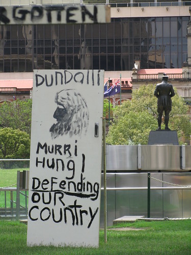
Even the grand statue of Major General Sir William Glasgow appeared to look away in shame from the GPO and the memorial posters there.


Memorials to Dundalli

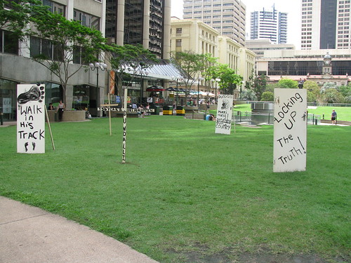
The trouble is we often become emotionally immune to irony, even though it can sometimes highlight painful truths. I’m glad I did what the sign said, and walked in his tracks.


Sunday, January 02, 2011

Cruising by the lake

Read More

I took a slow ride by the lakes today. It’s amazing how much more you see when you slow down!

Lake Samsonvale / Mount Samson

Mount Samson and its pyramid peak overlook lake Samsonvale.


Lake Kurwongbah

Some houses overlook the shoreline on the far side of Lake Kurwongbah


Tree house

I think a goblin lives here :)


Grass Trees

Grass Trees at Forgan Cove


It’s a great feeling riding a mountain bike along these paths!