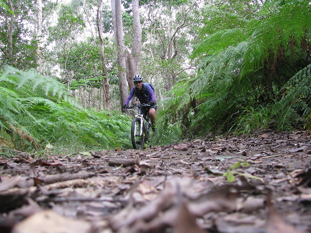
Emu Mountain is a great little national park just north of Coolum where we spent the weekend. It has some interesting walking tracks which we’ve done with the kids before, but this time I felt like exploring it on my bike.
I didn’t intend to ride up it, but when I saw the gnarly tracks heading up the hill, I couldn’t resist.
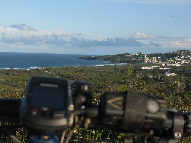
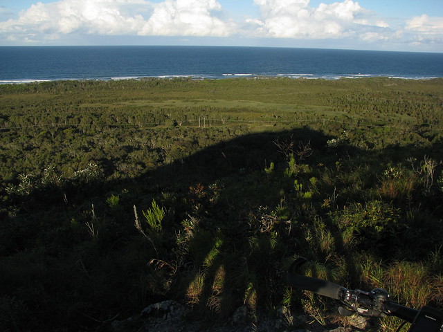
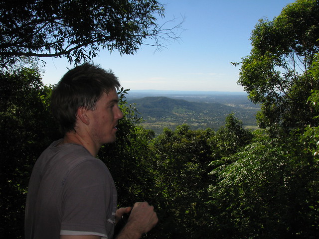
The cllimb wasn’t as difficult as I thought it would be, and (as always) the view was fantastic. This view is looking south back down to Coolum where we were staying.
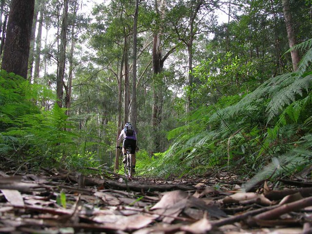
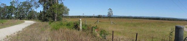
As you can see, a lot of the land in the area is forest – right by the sea, and quite unspoilt.
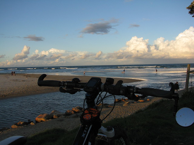
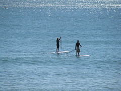
Eventually I rolled back down the gnarly hills and stopped briefly on the beach at Stumers Creek.
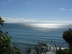
The weather forecast said “Rain” but we couldn’t have asked for a more perfect day to explore the Noosa Headland. I can’t believe how lucky we are to have this beautiful national park just over an hours drive from our front door.
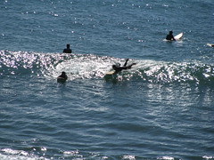
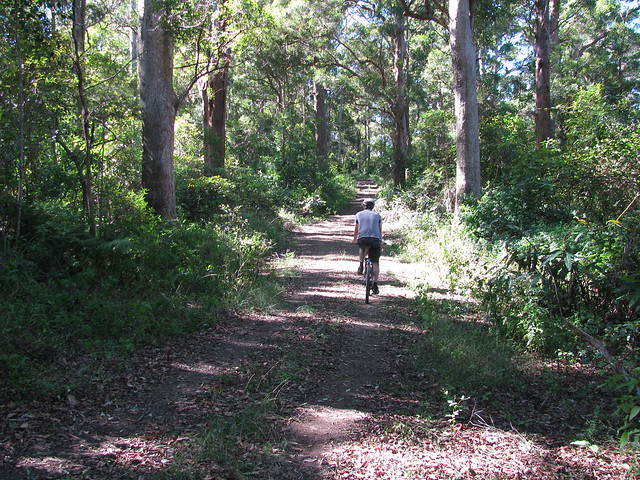
We walked clockwise around the headland starting at Laguna Bay – a popular spot for surfers and sunbathers.
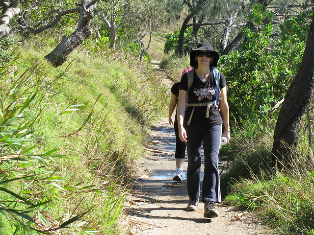
The track winds around the cliff-tops with some spectacular views through the rainforest trees down to some rocky secluded beaches.
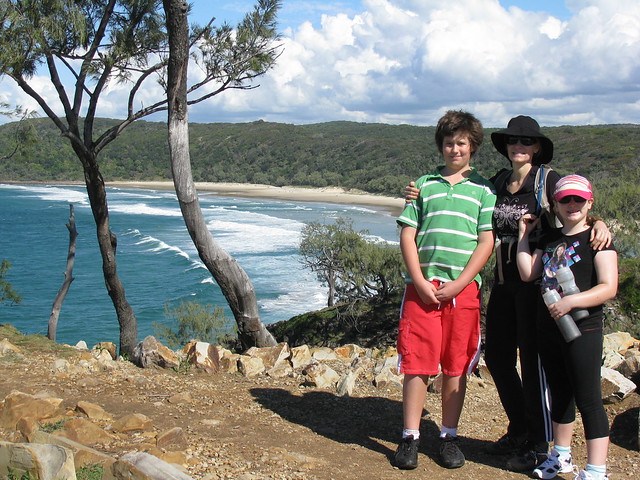
Eventually we reached Alexandra Bay. Hidden away on southern side of the headland it feels a million miles away from the cares and worries of the city
The walking track follows the beach for a couple of kilometres before heading back into the forest.
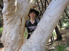
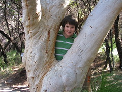
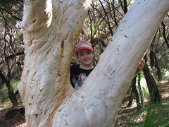
I suppose you could call us a family of tree-huggers
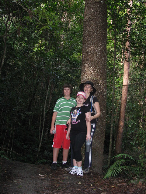
Eventually the track passes through some denser forest with these wonderful Hoop Pines – native to South East Queensland.
All up about 9km, with 400m of vertical ascent. A beautiful easy walk. We’d definitely do it again!
We decided to have a long weekend break up at Coolum on the Sunshine Coast.
As usual, I pondered over maps of the area to see if I could discover any new places nearby that I could ride to.
I had my eye on a few dirt roads that meandered around the back of Mount Ninderry, especially a couple that seemed to disappear into forest on the map, because that meant there was a possibility of exploring some fire trails.
Eventually a came across the familiar “Forest Reserve” sign and disappeared down a dirt track gleefully, like a child with a new toy…
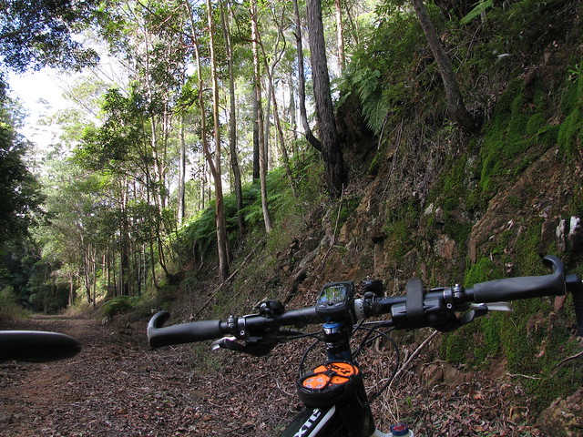
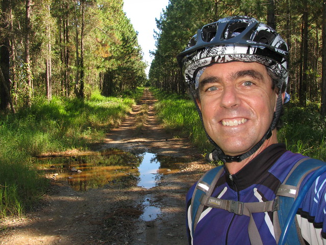
I saw a forest trail I’d never ridden before and thought “Why not?”
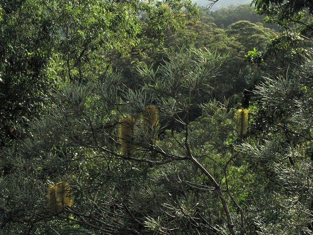
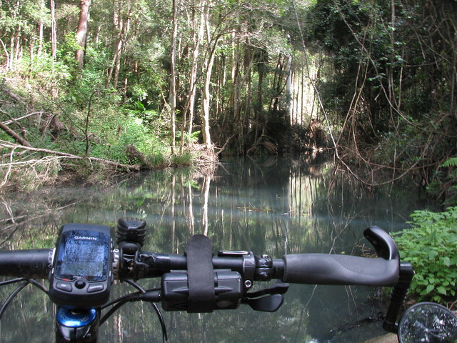
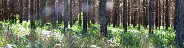
Rainforest, trails, steep hills… The Eumundi Forest Reserve at Verrierdale, in the hills west of Coolum, has everything including a few km of muddy swamps.
The tracks are delightful – mostly fire-trails. They wind through some lush green rainforest, with some challenging hill climbs in one or two places.
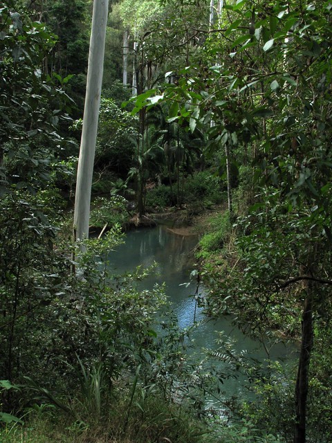
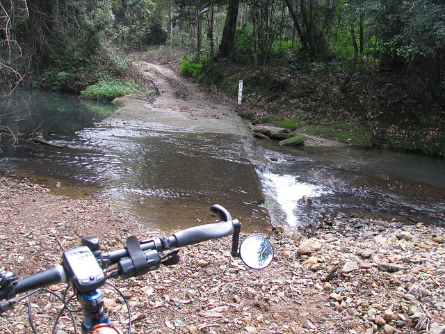
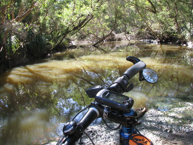
Recent rain has made some of the clay soil quite sticky, which makes it a bit tough around creeks. But I suppose the most surprising bit was the swamps – I didn’ count on having to drag the bike through a few kilometres of wet muddy creek beds. From the look of it I think these large wet patches are a permanent fixture. If they’re like this in dry weather, imagine what it’s like in the rainy season
But it was great to get out on the bike and explore some new places!
Diana’s Bath is a beautiful rock pool on Byron Creek in the D’Aguilar Ranges. It’s secluded, hard to get to, and picturesque. You can drive there in a 2wd car from the west via Esk. You can get there via 4wd and a bit of a hike over the mountains from the East. So I thought I’d (again) try to get there from the east via Dayboro.
I drove to the foot of the mountains, and rode from there, rather that riding from home – saving me about 60km. The ride starts with a 200m ascent in less than 2km. It’s a tough climb but if you sit back and work hard, it’s do-able. The views at the top of the hill are worth the climb:
Then there’s some fun downhill, and bouncing along the creek beds. Byron Creek is really pretty. The water actually looks a light cloudy blue colour. I don’t know whether it’s sediment, or something in the water, but it’s amazing to see. The banks of the creek are fringed with palm trees and rainforest vegetation, and there’s a continuous sound of Bellbirds and Whipbirds ringing in the air.
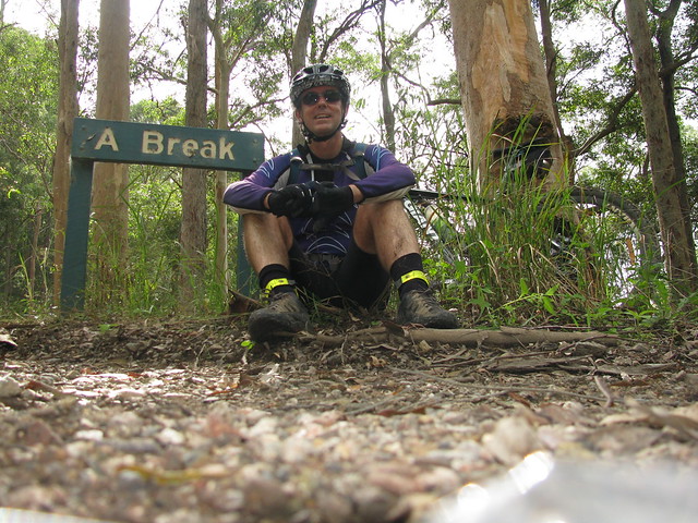
Eventually you have to do another 200m ascent, but this time it’s in about 1.5km along Diana’s Bath Road. I think they should rename this road “Heart Break Hill” because you need to be totally committed to be able to ride to the top.
When I got to the top, I saw a sign which said “A Break” – so I thought – why not?
I followed the road as far as I could and eventually it disappeared into lantana and weeds. So I decided to play it safe and turn around. I wasn’t going to get to Diana’s Bath today.
It was only when I got home and checked out the track log that I realized I had gotten to within 100 metres of Diana’s Bath, but didn’t realize it at the time. So I think it’ll be a case of “Third Time Lucky”. Perhaps I’ll take a long-suffering friend with me next time for my final assault on this elusive part of the world!
All up, about 1,000m of ascent in 25km, and about 3,000cal. Very hard work. Some of the ride was flat, but when you consider that I came and went on the same track, and if you subtract a few km for the flat bits, that works out to 10km of 10% climbs, 10km of 10% downhills, and 5km of bumpy creek beds.
This road was blazed in the 1860′s because of the Gympie Gold Rush. Every man and his dog packed their picks, shovels and tents and headed north from Brisbane to strike it rich. Some accounts even speak of people piling their meagre belongings into a wheelbarrow and walking from Brisbane to Gympie.
Before the, parts of it were actually an old aboriginal trail used by the Turrbal and Kabi / Gubbi-Gubbi people as they walked the area between Brisbane and the Sunshine Coast.
This is part of the same old road that passes through what is now modern-day Strathpine, Lawnton, Petrie and Kallangur. It’s just further north along that same road.
There were no horses on it today, or wheelbarrows, just a few trail bikes, 4wds and one Mountain Bike (me!).
In her book “Reminiscences of Early Queensland“, Constance Campbell Petrie writes how her father, Tom Petrie, helped blaze parts of the road:
When Davis (or ” Duramboi “) was asked to mark a road to Gympie, he sought my father’s assistance for the first part of the way, saying he would know where he was all right when he got to the Glass House Mountains, as he had been there before when living with the blacks. So Father took him to the other side of Caboolture and put him and party on his (” Tom Petrie’s”) marked tree line to Petrie’s Creek, on the Maroochy River. Then when the line to Gympie was marked, he went with Cobb and Co. to help them pick out stopping places for the changing of horses. The road was just frightful at that time ; we in these days could not recognize it for the same.
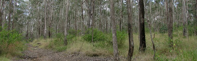
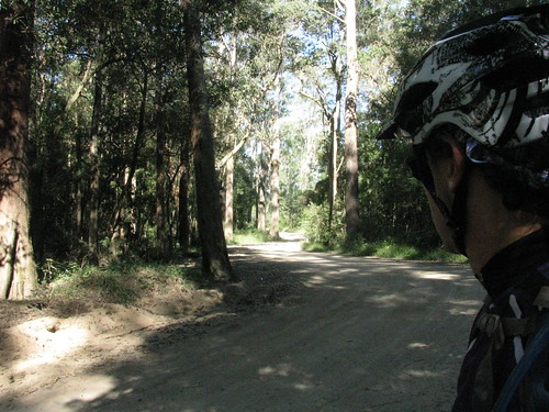
I made a spur-of-the moment decision to try the Beerburrum East State Forest today. I rode it about six months ago and really the long flat dirt roads which let me zone out and just concentrate on the ride.
The forest is full of these roads, and at this time of year they’re perfect to get a few kilometres under the belt.
Elimbah Creek cuts through the forest and is a nice place to stop for a quick breather. I came upon a few motor cyclists and be both were effusive about how incredible the place was, and what a beautiful day it was. Even if you’re into different things, it was great to meet someone enjoying what they were doing as much as I was enjoying what I was doing.
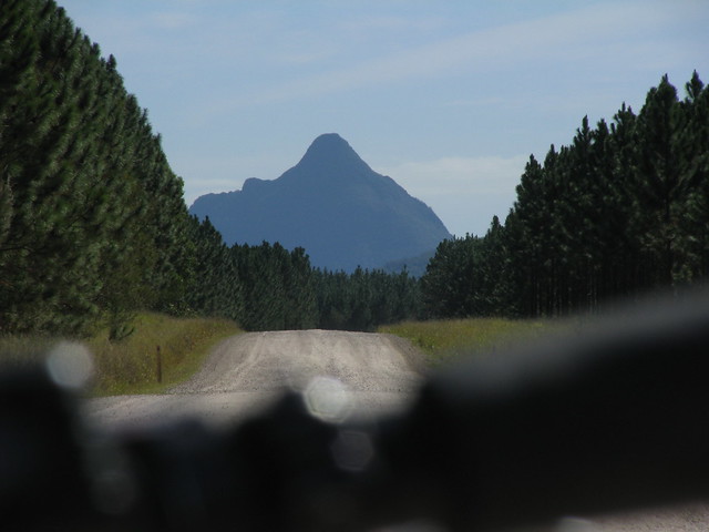
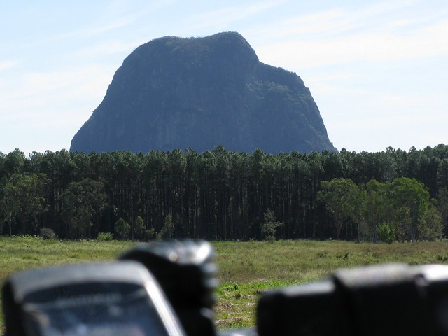
As you get further north, the Glasshouse Moutains impose themselves on most views. Here’s Beerwah, the legendary mother of the family watching over me today. She’s still pregnant, but mountains take a long time to give birth
…and Father Tibrogargan, still brooding, watching grumpily out to sea. He still hasn’t forgiven Coonowrin. Apparently some mountains take a long time to forgive.
All-in-all a perfect day. Next time I’d like to bring a few friends along and take it slower.
This time I was 2 mins slower than last time, but I didn’t have a major break this time, and still managed to average 21.5km/h over 60km, so I’m happy
If you want to be happy, it helps to know what you want.
A few days ago I thought to myself that I’d really like to explore some new trails by Lake Samsonvale, and today I did just that! And now I’m pretty happy
This time of year in Southeast Queensland is beautiful. The westerly winds clear the skies to a deep blue, and the temperature drops. Perfect weather for exploring this part of the world.
There are some beautiful trails by the shoreline of the lake – and many of them barely see a human once per week.
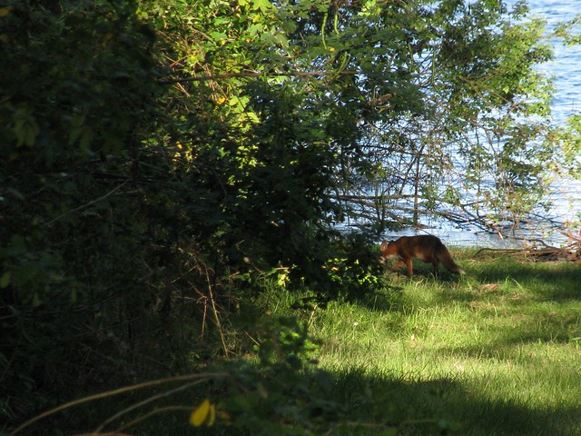
Today the only company I had on the bike was an elusive fox whom I managed to quickly photograph before she slunk away into the lantana.
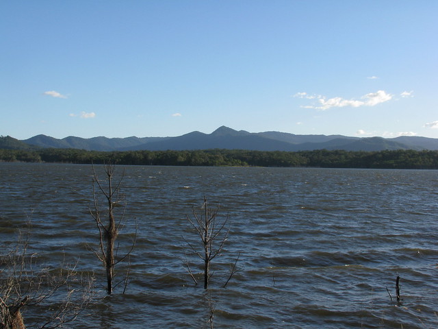
A view of Mount Samson from the shore of Lake Samsonvale at Harrisons Pocket.
A view of Clear Mountain from the other side of Lake Samsonvale. Most of the time my experience of Clear Mountain is straining on the pedals trying to get up the steep hills, so it was a pleasant change to see it from this angle.
So – I’m happy because a few days ago I took a few minutes to make a mental note of something I’d like to try. And today I took a couple of hours to give it a go. I honestly don’t want to win the lottery – I’d just like a few more afternoons like this. And unlike the lottery, I think I’m almost certain to get this wish!