We were unsure about one or two sections on next week’s “Three Gaps” social ride, so today my friends kindly agreed to help me double check them. Just to keep us on our toes, I added an extra loop through Mount Walker.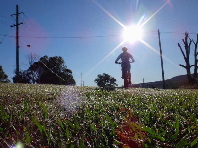
Despite the impossibly blue skies and stunning sunlight, the cold morning air cut through our gloves and jackets.
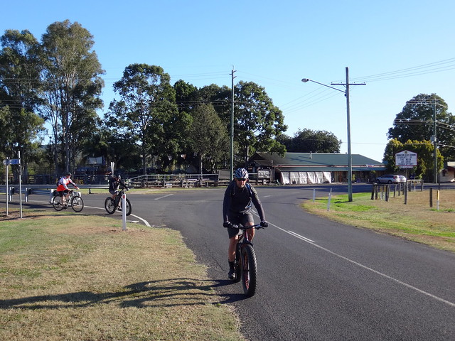
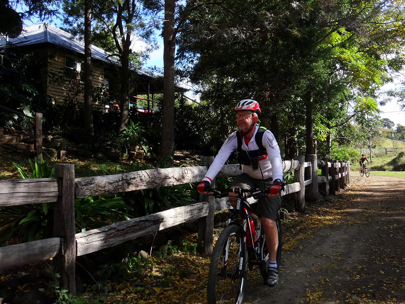
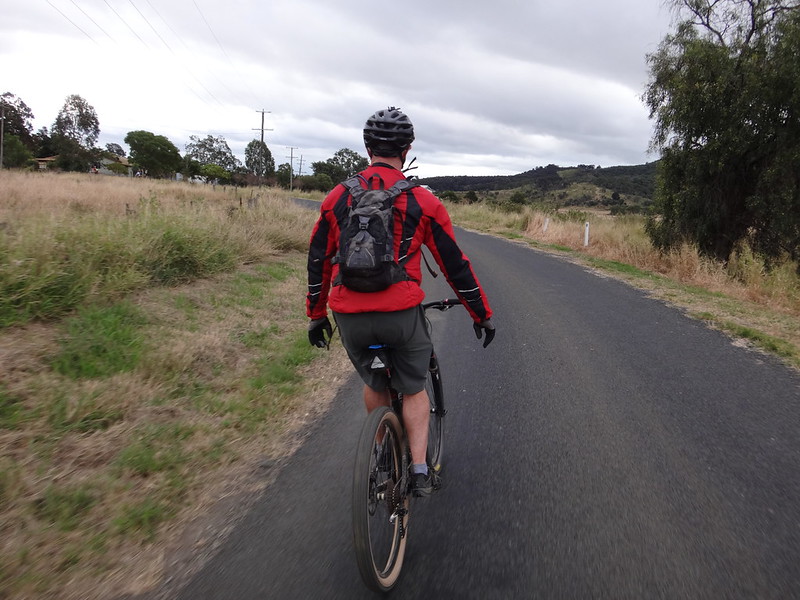
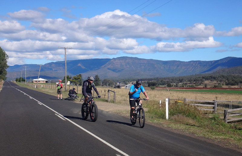
We needed a couple of kilometers of steady pedalling from the Mulgowie Pub to comfortably warm up.
Just over five minutes later we left the paved road and headed up Red Gap Road. Each September this dirt track becomes part of the “Epic” mountain bike race where hundreds of riders compete for glory as they struggle over some of the toughest terrain in the area.
Today we were taking a more sedate pace, and riding it in the opposite direction that the racers would take.
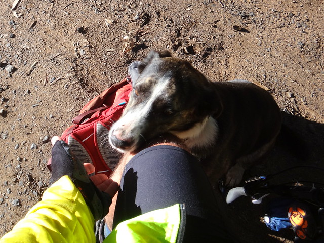
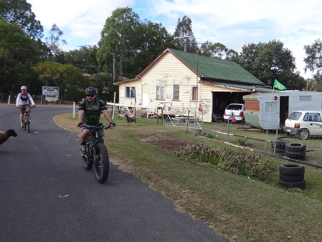
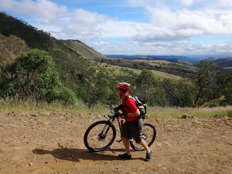
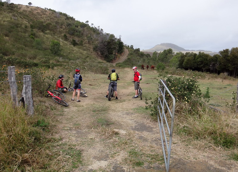
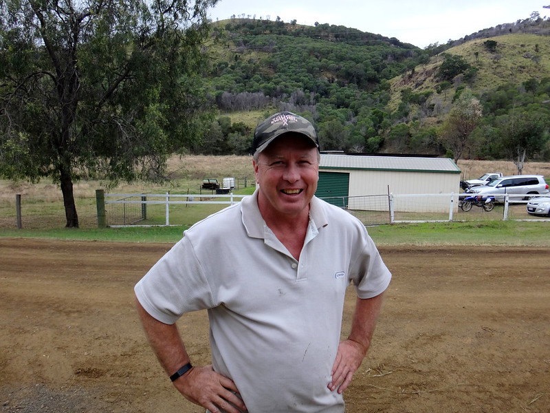
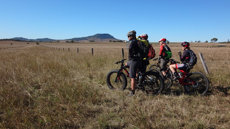
At the bottom of the climb I quickly stopped to remove my jacket, and made friends with one of the locals.
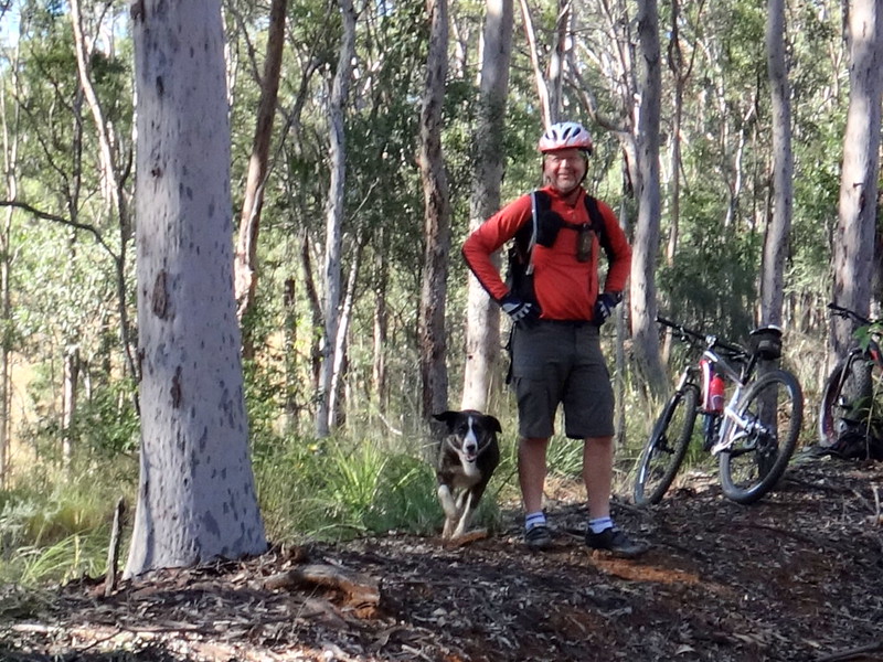
Despite repeated calls to “Go home”, our canine friend couldn’t resist running behind a flock of mountain bikers trying to round them up.
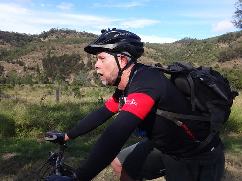
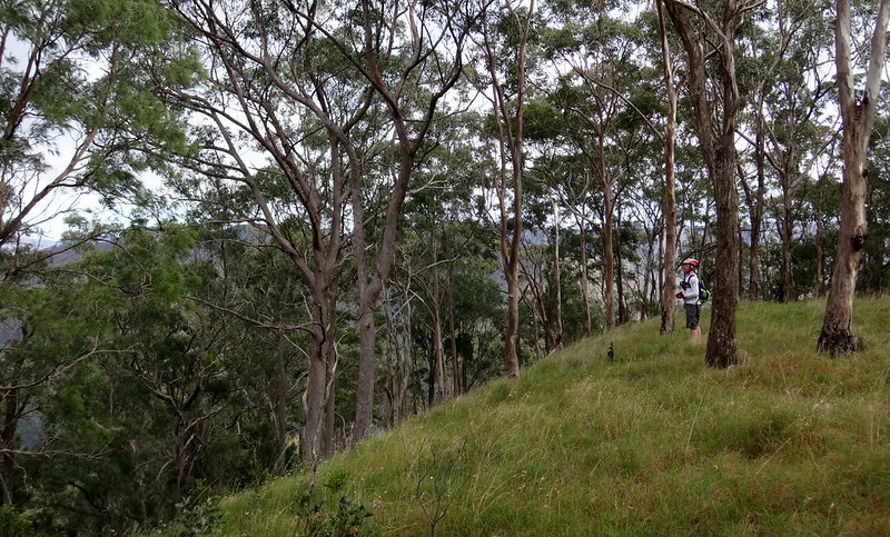
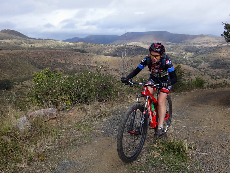
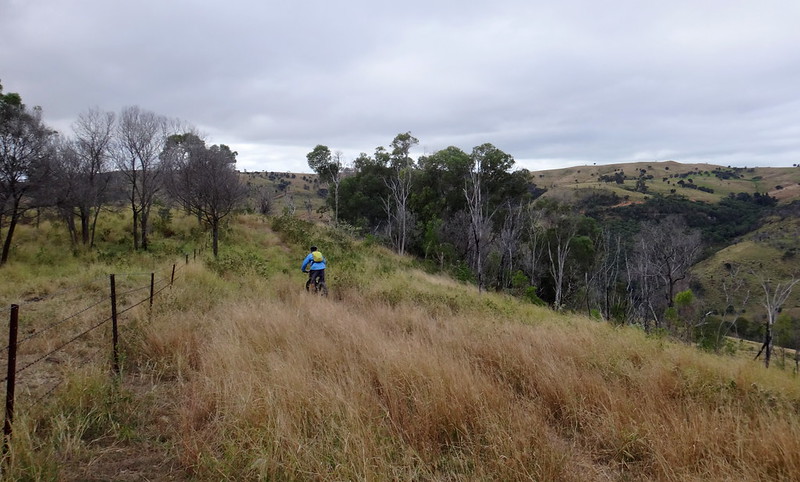
“Red Gap” is a pass over the Little Liverpool Range which extends north from the Great Divide all the way to Plainland on the Warrego Highway. It’s hard work riding up the hill.
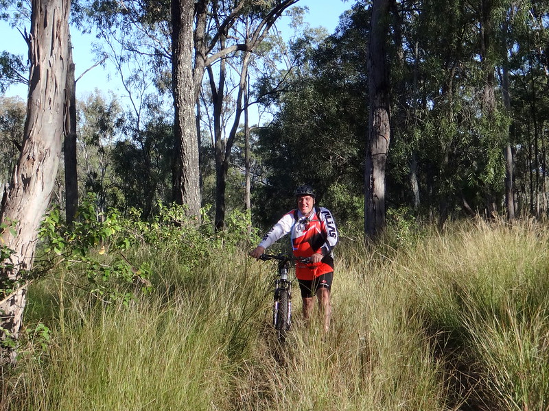
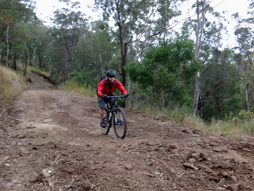
Simon suggested that it’s sometimes better to walk sections of a course before riding it 
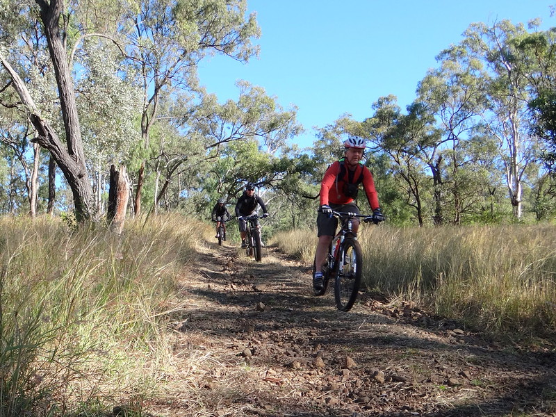
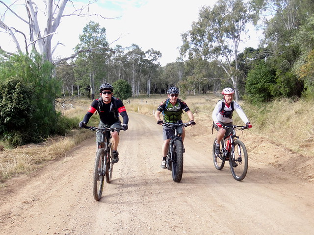
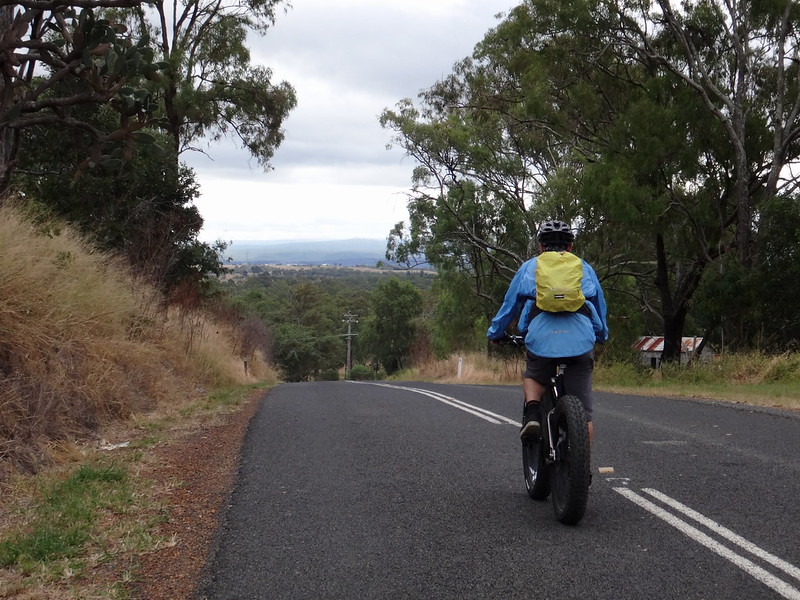
One things for sure – it’s usually more fun plummeting down a hill than it is grinding up it.
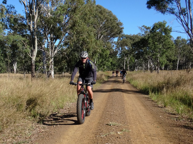
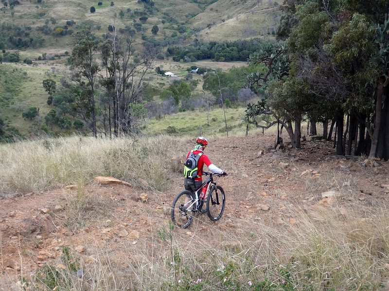
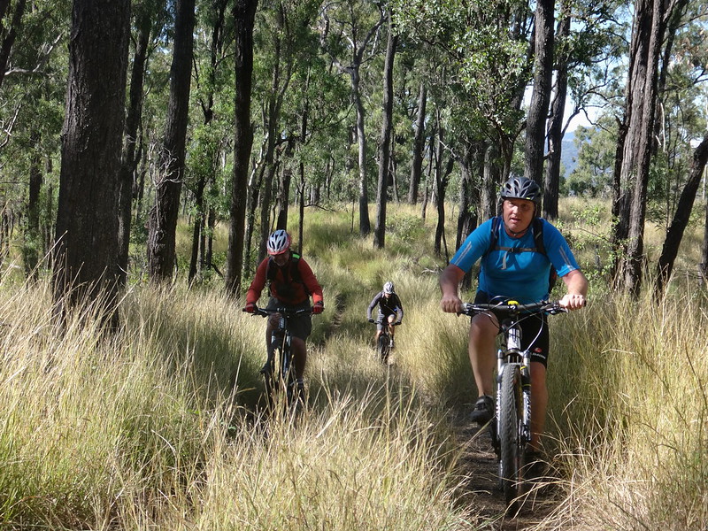
At the bottom of the hill we kept heading east along Stokes Crossing Road.
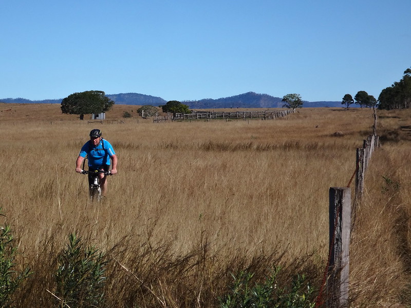
Although the map says it’s a “Road” – it’s little more than a couple of tyre tracks in the grass.
In some places, the tyre tracks disappeared and we had to follow cattle tracks.
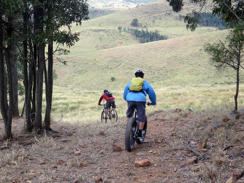
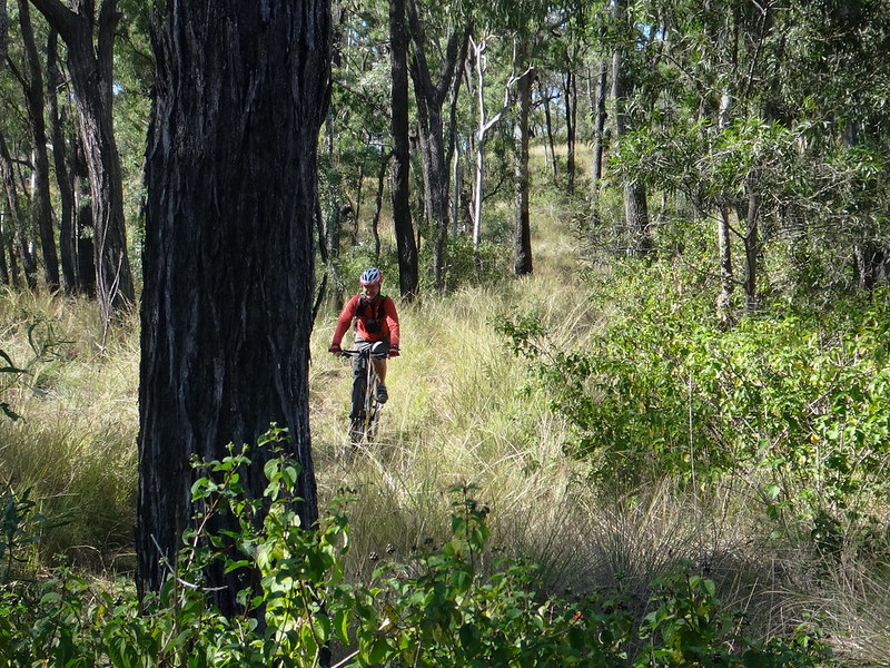
I’m grateful for the wonderful network of road reserves around South East Queensland. They’ve taken us to some spectacular places.
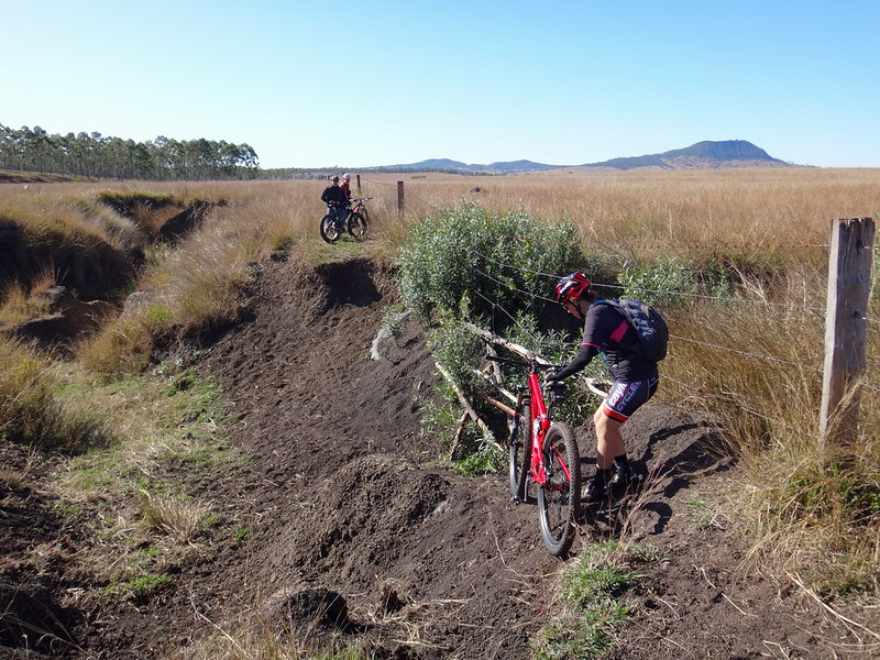
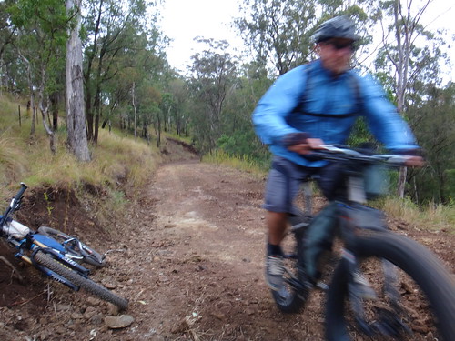
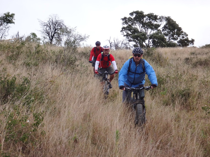
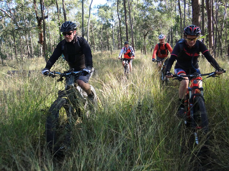
They’re full of surprises – which is fine if you’re careful and don’t mind walking through some tricky sections…
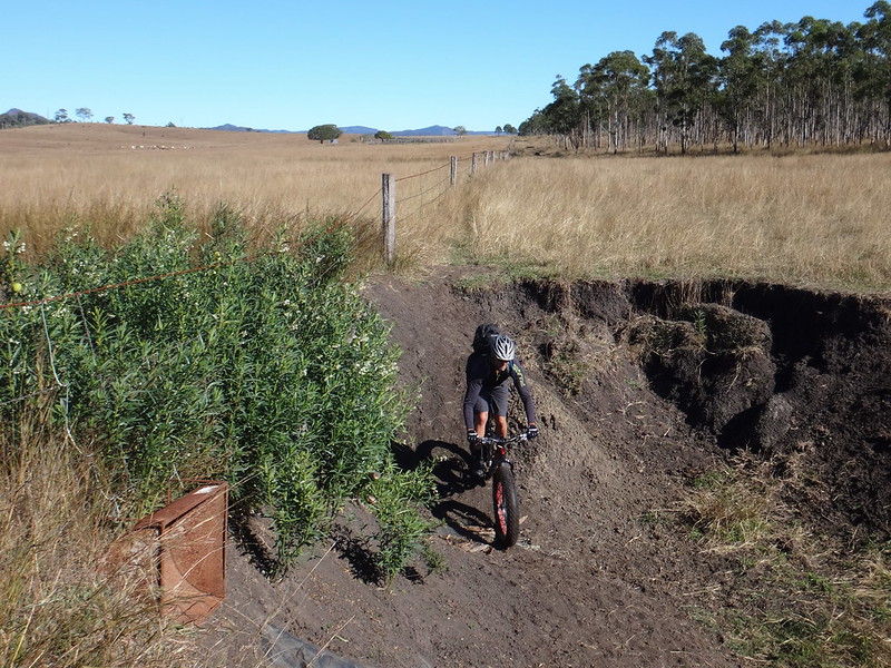
… or just powering through them.
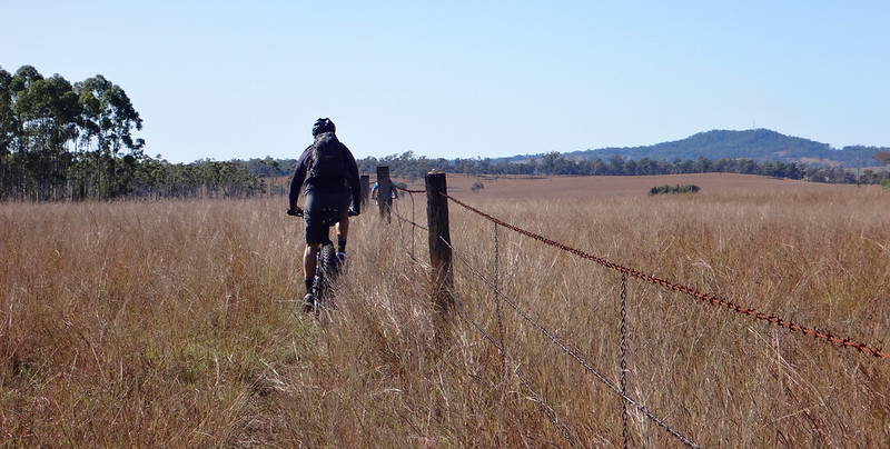
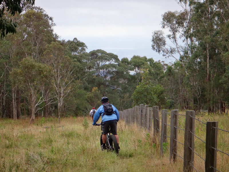
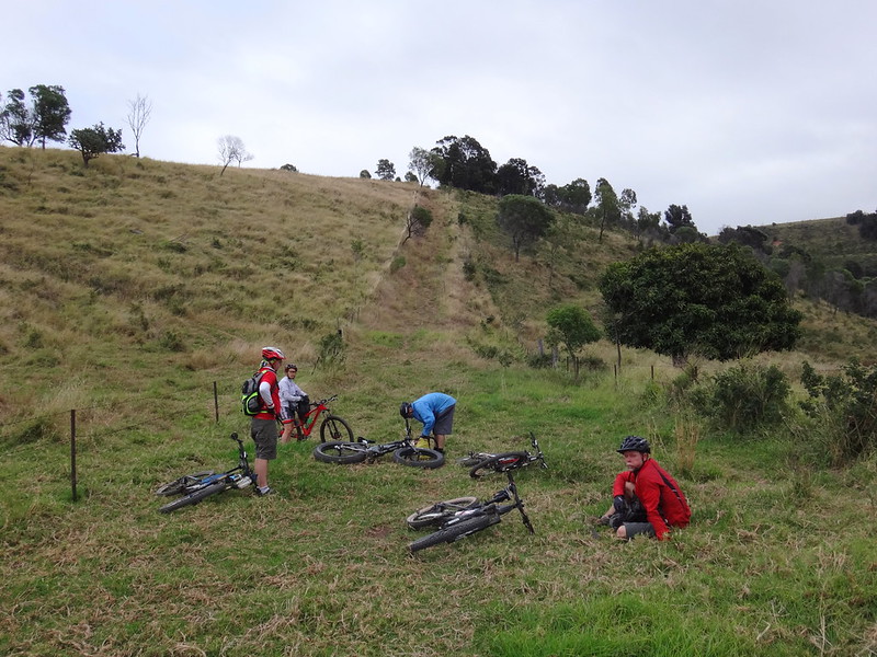
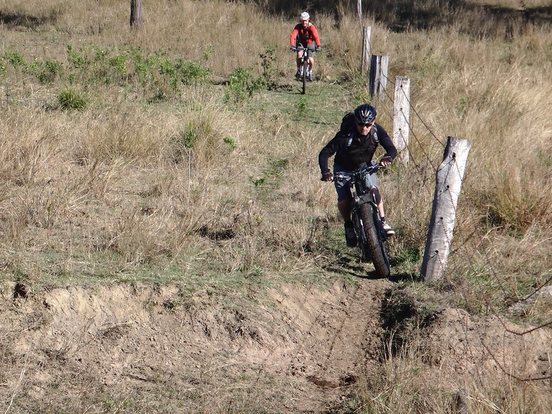
In one or two spots there were no tracks and we could only follow the fence posts through the tall grass.
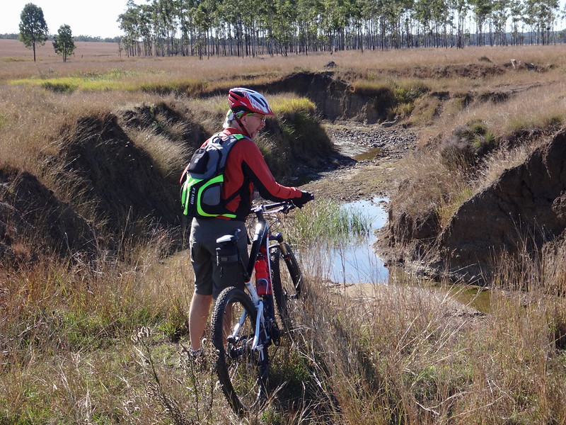
At one point we had to back track because the wash-outs were too deep for us to scramble through.
(Photo: Tony Ryan)
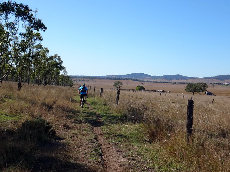
For most of its length, the road reserve was clearly marked with fences on either side.
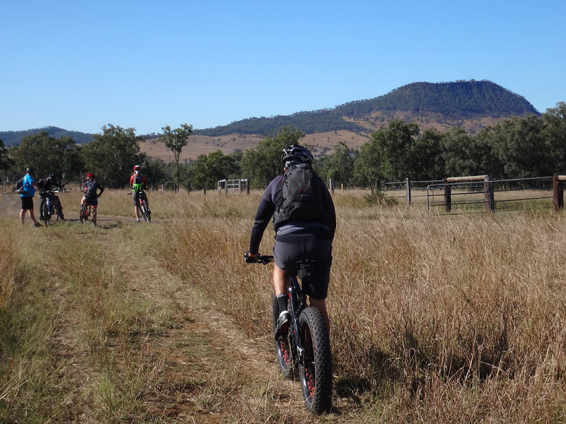
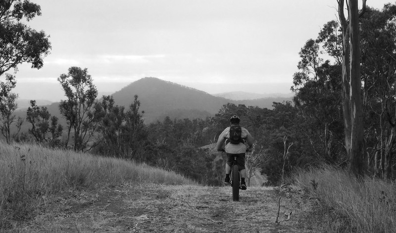
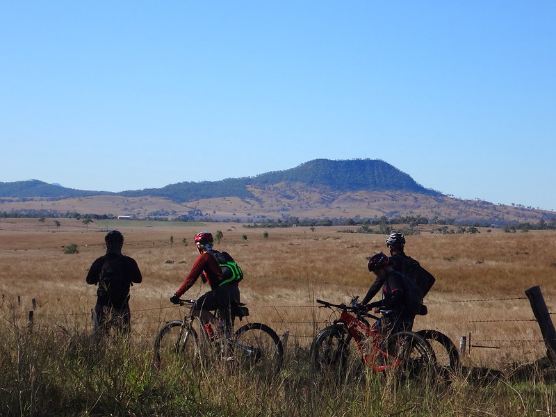
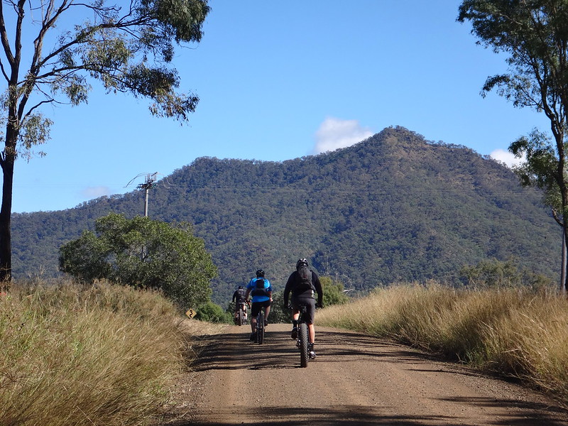
As we pushed through the grass, the odd flat top of Mount Walker grew larger.

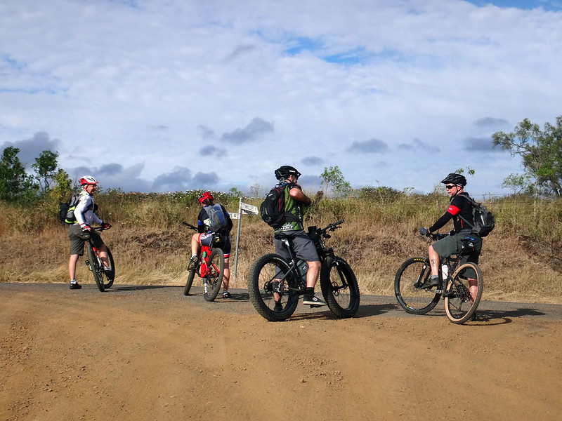
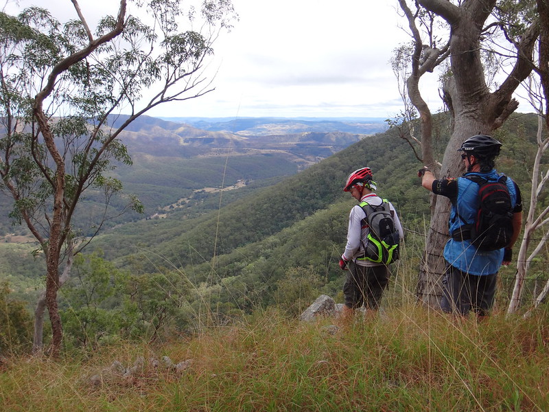
With a feeling of relief we finally emerged at Mount Walker, at the eastern end of the “road”. Russel, who grew up near here, pointed out the peaks that were familiar to him.
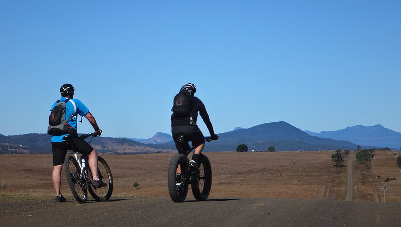
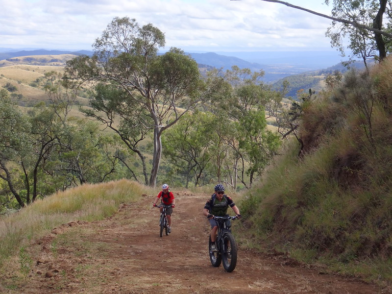
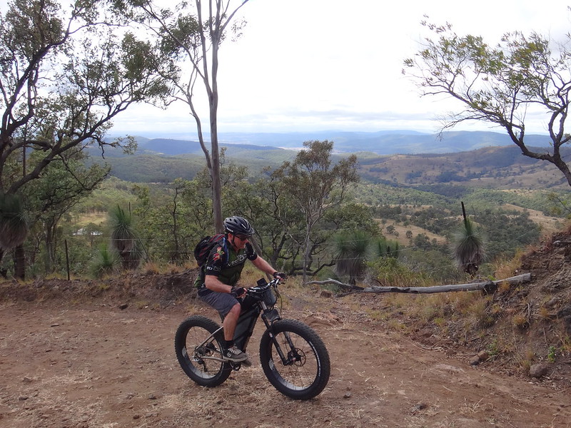
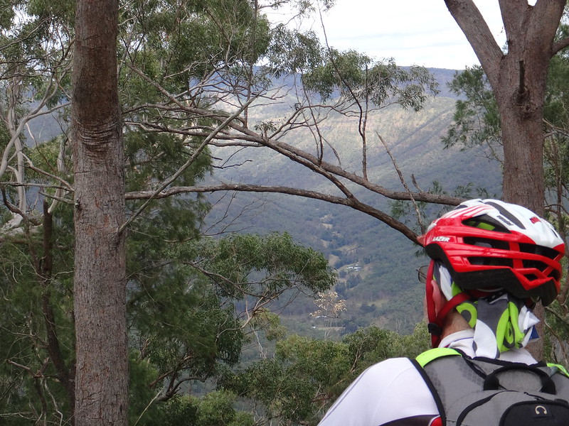
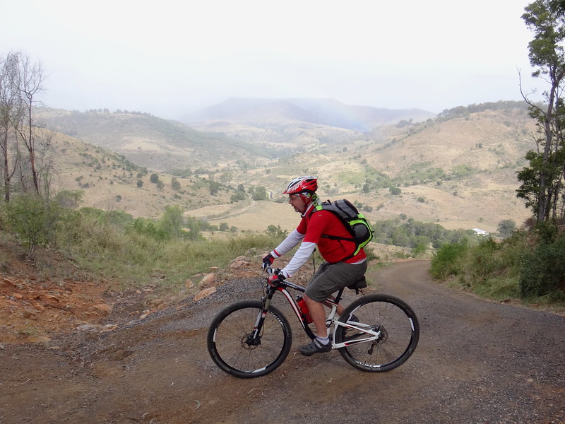
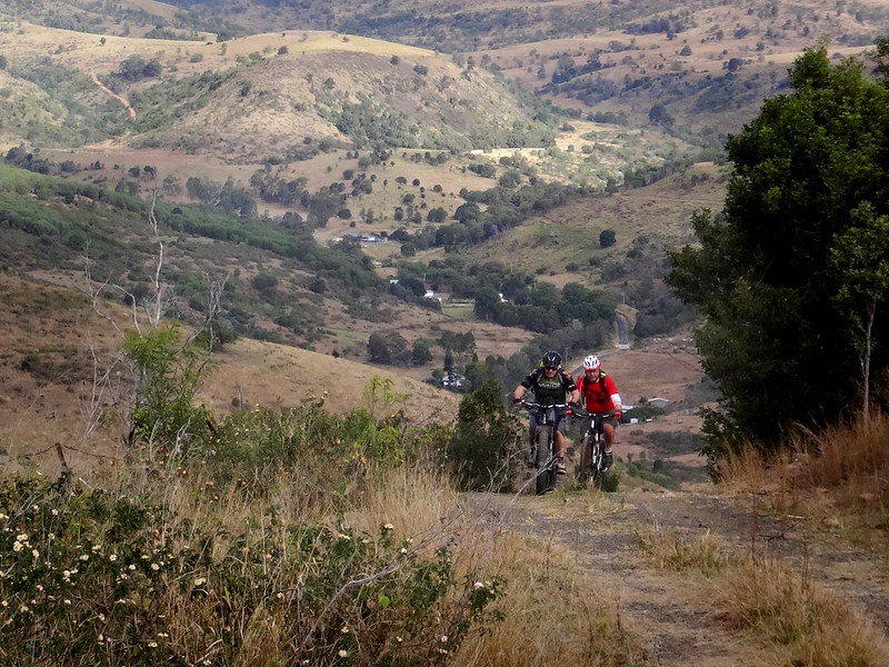
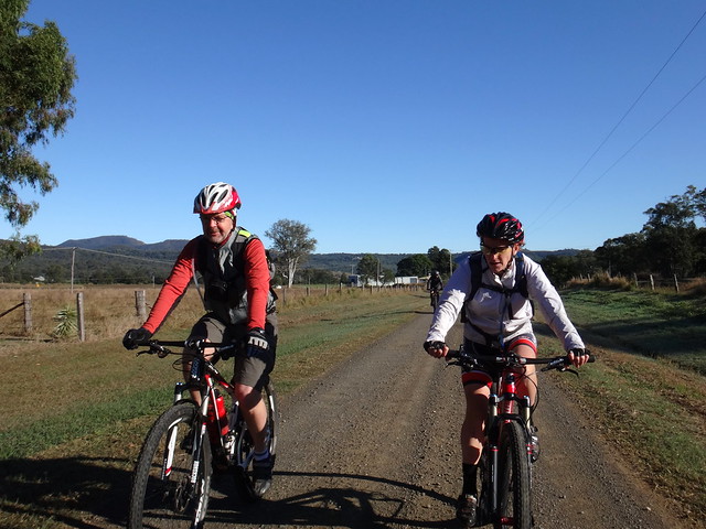
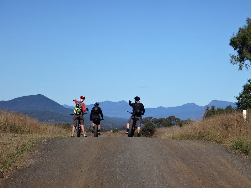
At the top of each rolling hill we enjoyed views of the impressive turrets of the Great Dividing Range to the south.
I never tire of riding through these beautiful plains – it’s good for the soul.
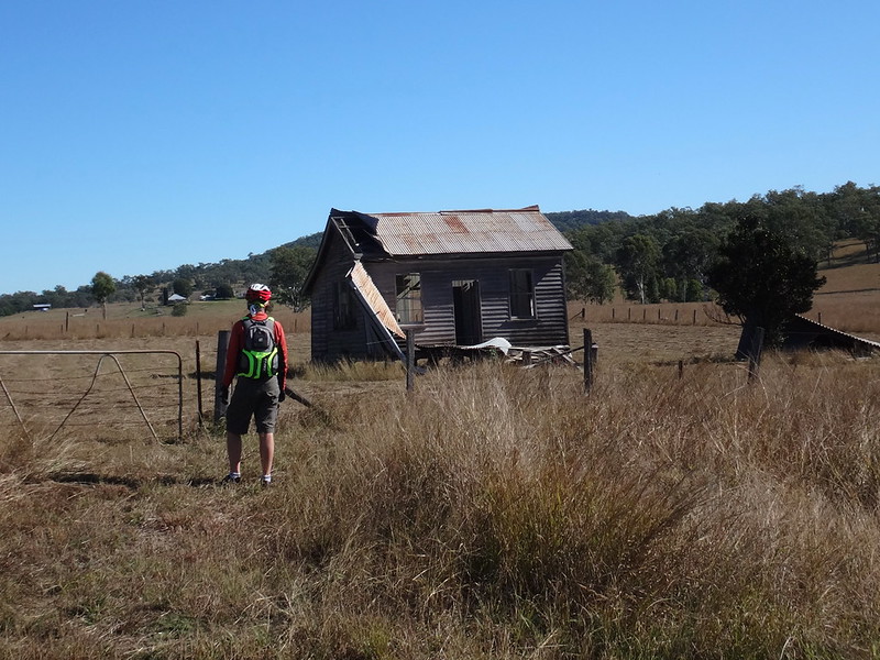
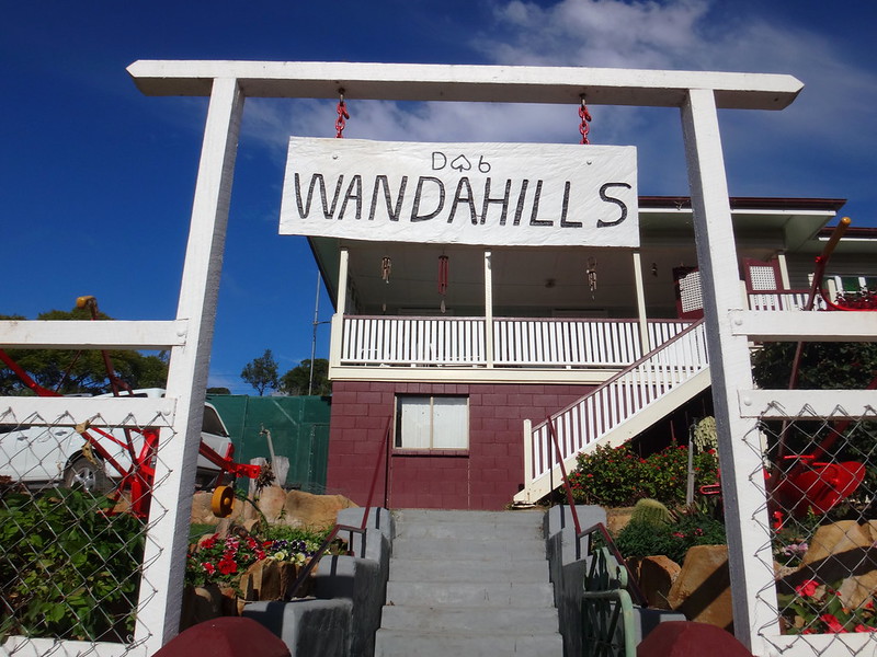
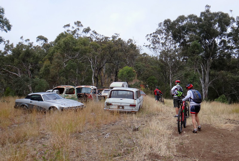
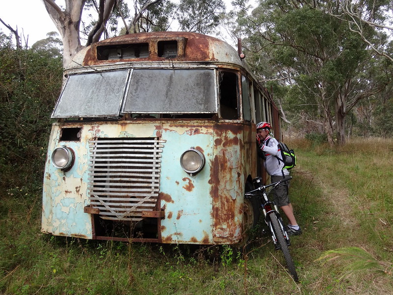
We wondered how a real estate agent would describe this gem. A renovator’s delight? A rustic weekend getaway? Perhaps a “Room with a view”>
Around the half-way point of the ride we headed west, following the Bicentennial National Trail (BNT) towards Mount Beau Brummell.
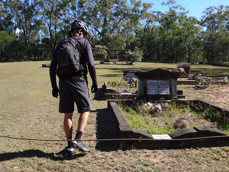
After a quick stop at the Mount Mort Cemetery, we started the second major climb of the day up Edwards Gap. This was a steeper route back over the Little Liverpool Range to the Laidley valley.
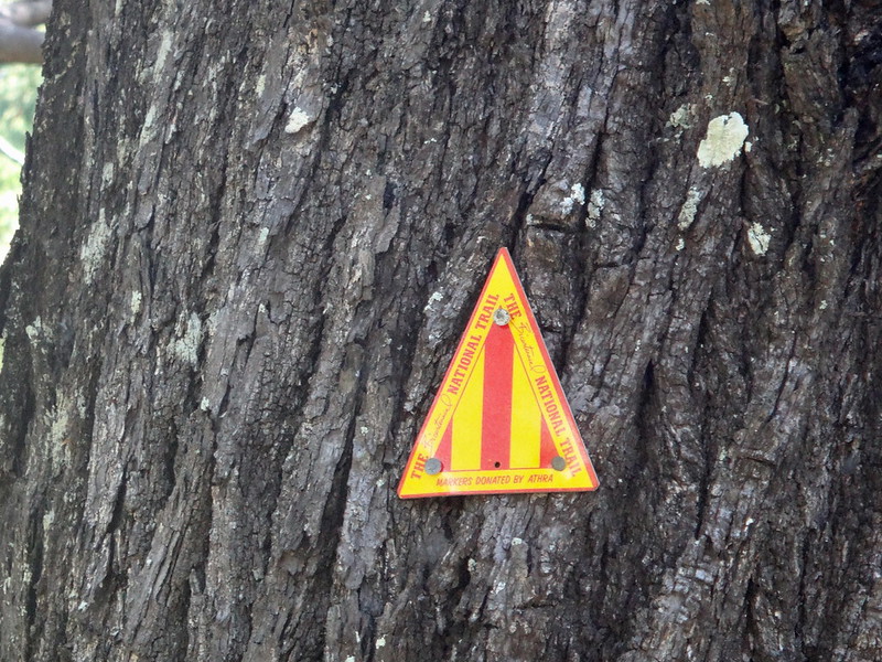
Whenever I see the friendly yellow triangular BNT markers I think about travellers who have come this way en route between Healesville in Victoria to Cooktown in Far North Queensland.
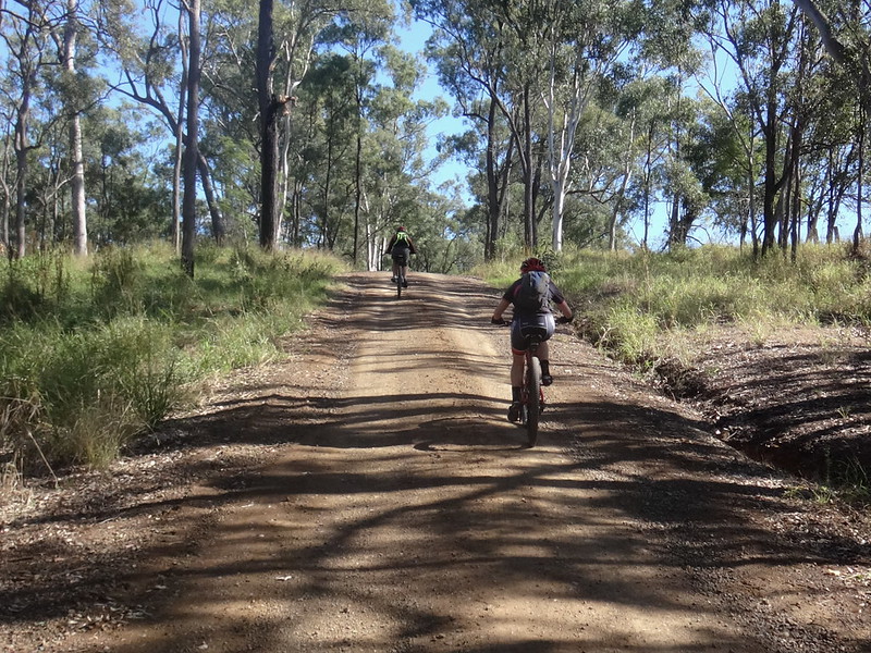
We eventually made it to the top of Edwards Gap, rolling through the grassy hilltop at the summit.
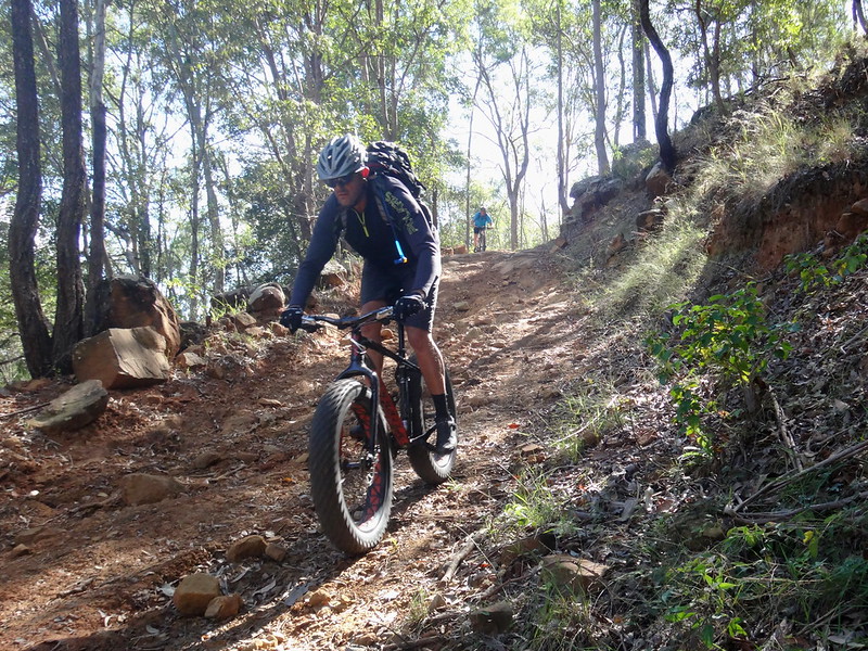
I’ve pushed a bike UP this hill before, and think that plummeting down this section of Edwards Gap is much more fun than struggling up it.
Paul described it as “sketchy”. I’d probably throw in the word “fun” as an appropriate adjective – provided you keep your weight back and treat it with respect.
Back in the Laidley Valley, it took us little more than ten minutes to ride back to Mulgowie along the paved road.

(Photo: Tony Ryan)
We rode a total of 48km in just over 4 hours.
During that time we climbed almost 850 metres in vertical ascent, and I burned about 2,100 kcal.
I’ll rate this ride 7 out of 10 on the tough-o-meter.
Thanks Becca, Darb, Paul, Russel and Simon for another fun day out on the bikes.