

A couple of years ago on the long climb into D’Aguilar National Park via Lovedays Road, my friend Nick looked up a steep side-track and thought out aloud “I wonder what’s up there?”
Today we answered that question.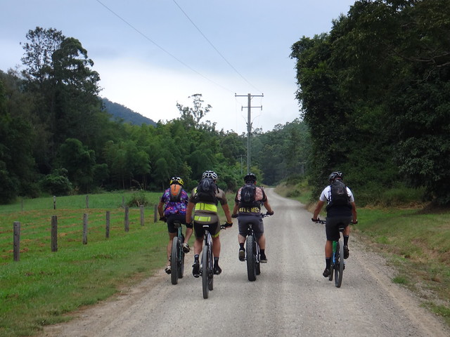
There are two mountains named “Mount Archer” in Queensland, both of them named after the Archer Brothers – the seven pastoralist sons of scottish timber merchant William Archer. The taller of the two mountains of the same name towers over 600 metres above Rockhampton.
Today we wanted to ride up the smaller Mount Archer, which stands on the northen edge of D’Aguilar National Park, about 540m above the Stanley River, Somerset Dam and Neurum Creek.

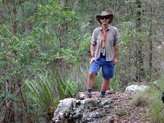
I was driving Darb’s 4WD drive to provide support, while everyone else rode.
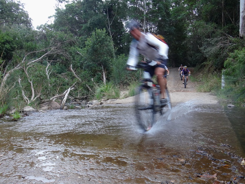
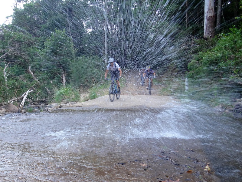
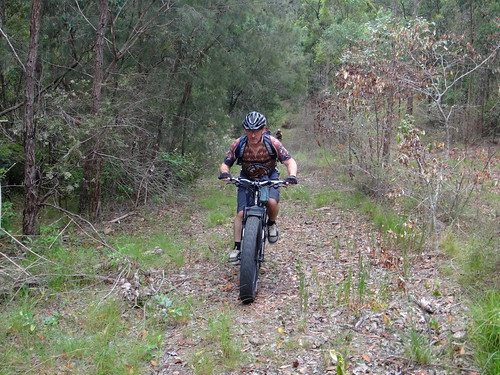
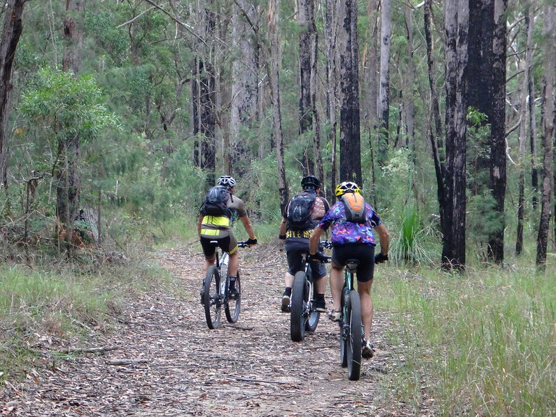
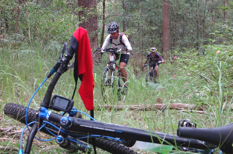
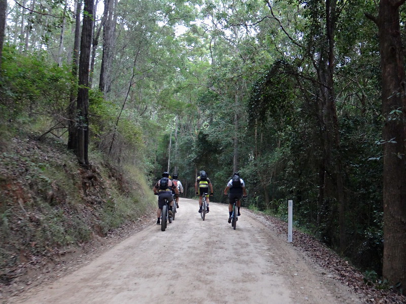
We’ve done the first part of this ride several times before as it crosses Neurum Creek and slowly climbs the range.
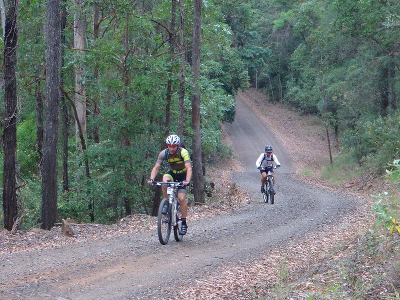
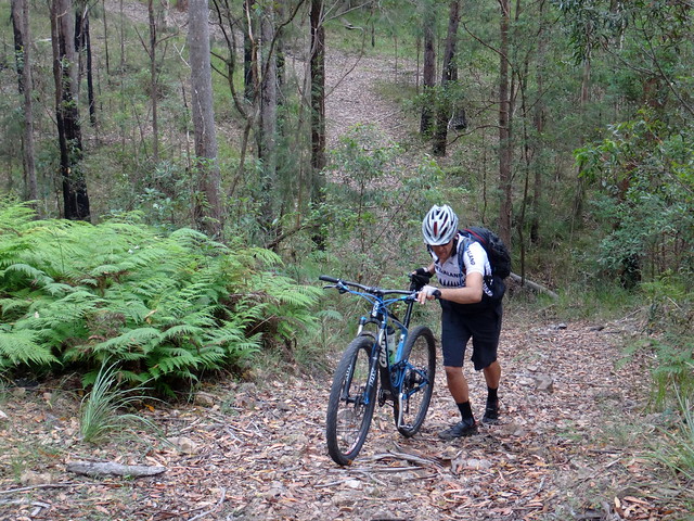
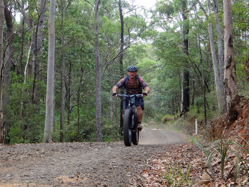
It’s a reasonably challenging 7km climb up Loveday’s Road. It’s not as steep as some of the roads we’ve been up, but it takes a while to ascend.
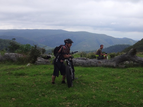
I stopped a couple of times in the car on the way up to encourage the riders and enjoy the silence.
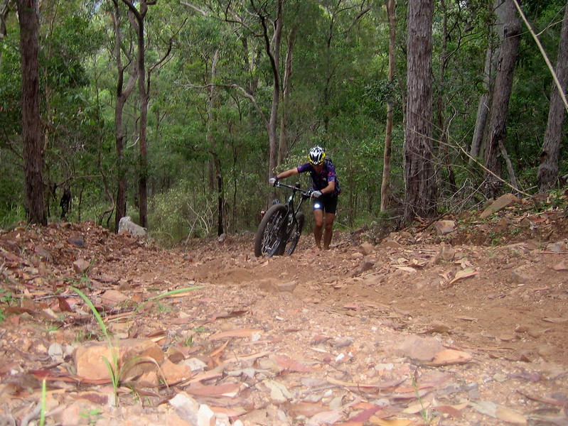
(Photo: Eric Dousi)
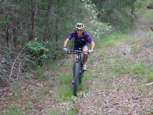
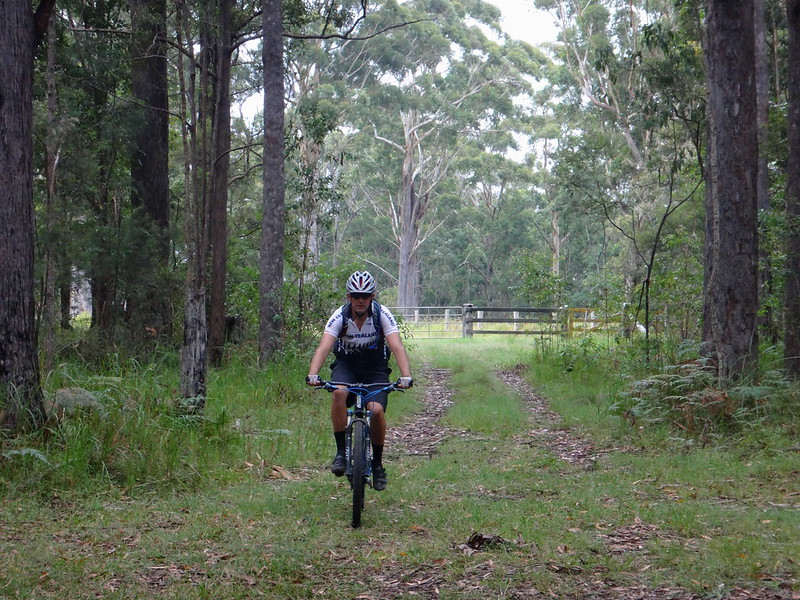
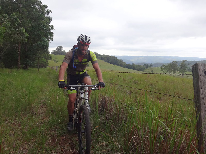
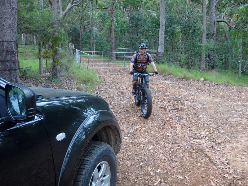
Towards the top, we took the track west to Mount Archer. This was really steep. When you’re riding a bike and the track gets steep, you just get off and push. But I was driving. The car got halfway up one steep pinch before the wheels started spinning. A novice at four-wheel driving, I decided it was too treacherous to reverse all the way back down. Instead I eased the car back a few metres, then tried to drive it up again. I kept the momentum up, and although the wheels spun slightly, I made it to the top and heaved a sigh of releif.
I arrived at the top before the riders. After reaching the locked gate I decided to walk ahead and let them catch up. We wanted to visit several vantage points with potentially good views, and I didn’t want to hold them up. Bikes are much faster than hikers, so I thought the best approach would be to get a head-start on them while I had the chance.
Reaching the first look-out before them, I realized I had under-estimated my walking speed and over-estimated the riders speed. After a five or ten minutes the riders arrived, and we decided our first lookout was a bit of a disappointment.
Although it was on the edge of a steep precipice, the edge was thick with trees and we didn’t have much of a view, apart from a few snippets of Lake Somerset through the trees.
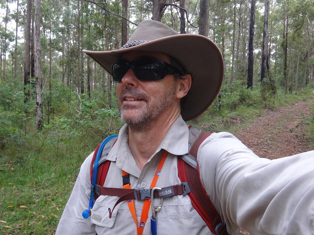
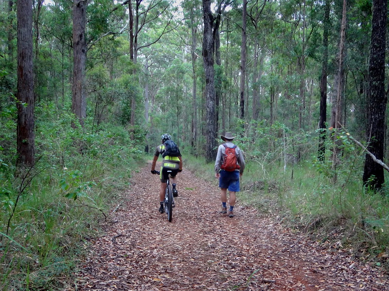
Our plan at this point was for the riders to check out a few other vantage points that were too far for me to reach on foot, while I walked a shorter loop.
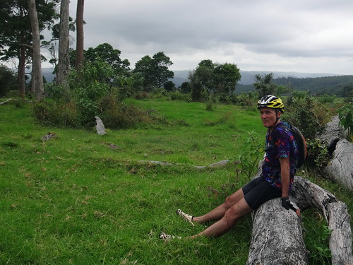
Paul kindly offered to ride alongside me while the others went ahead. I was grateful for the company.
(Photo: Tony Ryan)
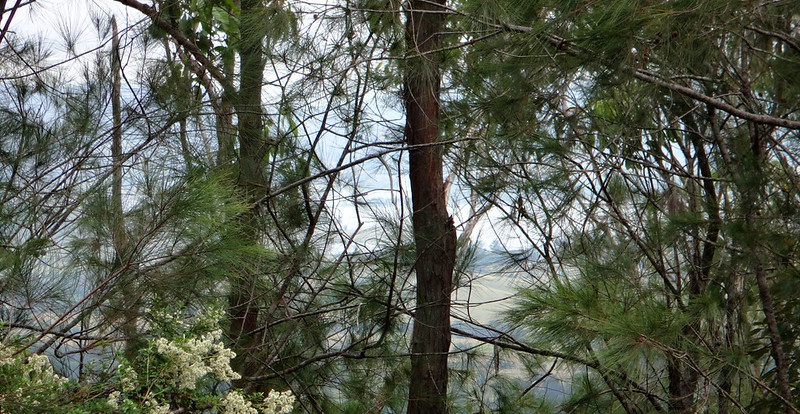
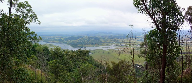
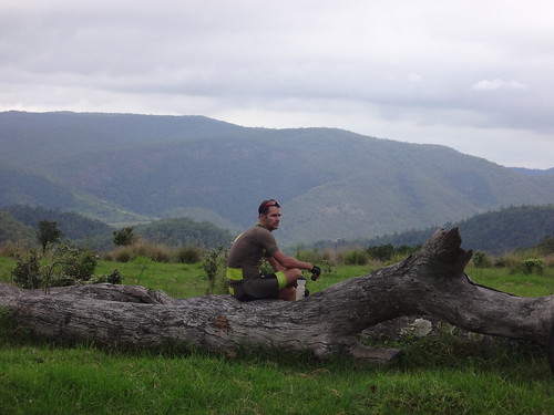
The riders were similarly disappointed with the second look-out, but the third one was spectacular.
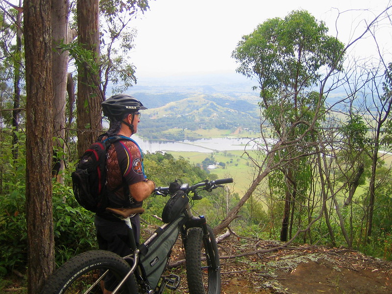
(Photo: Eric Dousi)
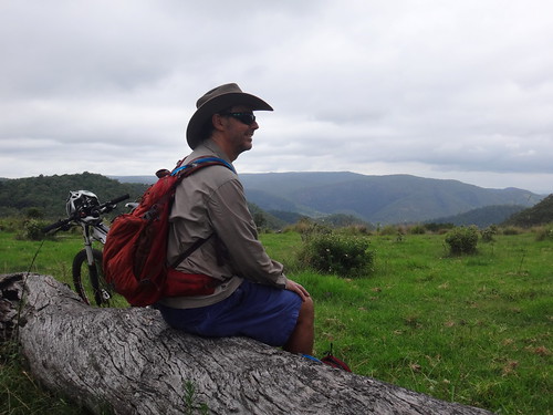
Near the summit of Mount Archer, this cliff-top looked northwards over the Stanley River with wide views towards the Conondale Range in the distance. It was even possible to make out the narrow causeway over the river.
(Photo: Tony Ryan)
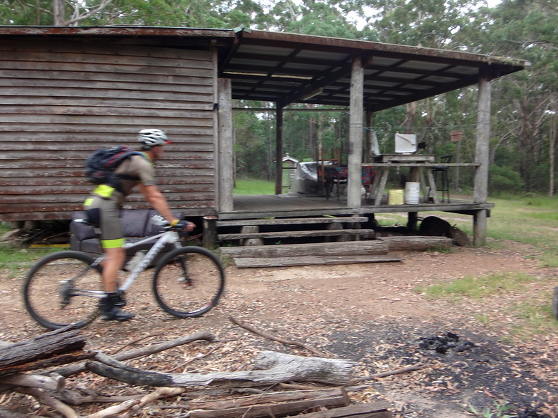
This “bush-camp” was a surprising discovery on the way back. With all the comforts of home, it looked like the perfect place to escape the cares of the world. It’s amazing what you discover while exploring remote places.
Meanwhile Paul and I scrambled along an overgrown track in search of the fourth look-out of the day.
(Photo: Paul Smith)

We eventually reached another cliff-edge. Sadly, like the first look-out, the edge was thick with trees and we were unable to see very far. It was still a pleasant walk.
(Photo: Tony Ryan)
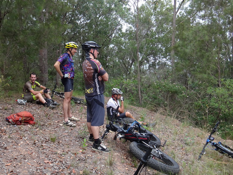
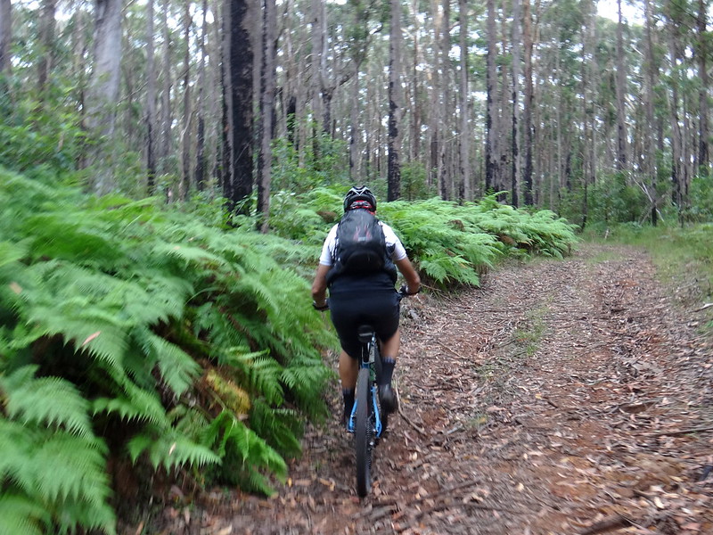
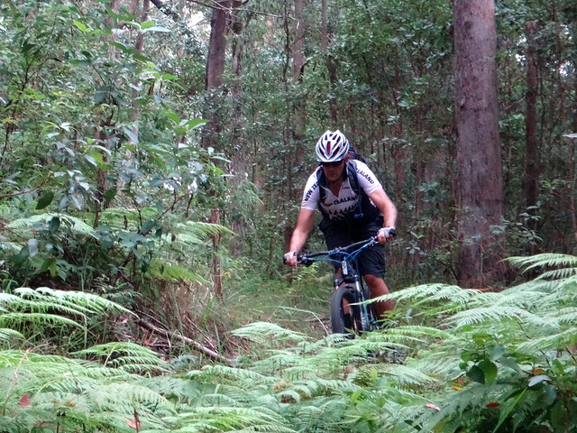
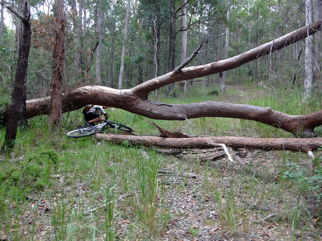
The trails on the northern edge of the plateau are steep and rough, which slowed the riders down.
We made our way back to the main track and enjoyed a bit of a break while we waited for the riders to catch up with us.
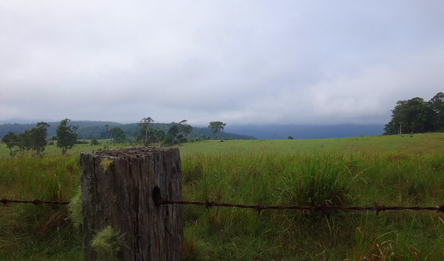
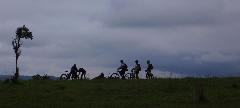
Our final destination of the day was the edge of a large cattle pasture on the edge of the range.

We followed the fenceline down to the edge of the paddock and enjoyed some great views to the south-west. In the distance we were able to make out the course we’d taken on a previous ride down to Westvale on the shore of Lake Somerset.
This was a perfect spot to rest a while and soak up the view.
As we began our way back to the start, I left the mountain-bikers and took a short-cut across the paddock so that I didn’t fall too far behind them.
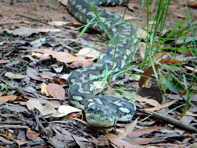
The riders soon skidded to a halt as this majestic two-metre long carpet python blocked the way. I got a little too close for comfort to take its portrait, and it slowly coiled backwards into an “S” shape to more effectively lunge forward at me. I took the hint and quickly got out of the way. I didn’t know snakes had blue eyes. How beautiful!
We finally reached the car. I had hiked over 11 kilometres and felt very pleased with myself, considering my knee surgery was only 40 days ago. I think this new knee and I are going to get on very well ![]()
The roll back down the hill is very fast on a mountain bike. In fact it’s probably faster on a bike than in a car. Most of the riders had already reached the bottom while I was still driving, but I did manage to catch a quick glimpse of Darb has he shot past me on his fat bike. You could hear those huge tyres crunching the gravel from a long way away.
The riders cycled about 37km in 5 hours including breaks. This included about 1,100 metres in vertical ascent. The track had a few hike-a-bike sections. I’d rate this about 8.5 out of 10 on the tough-o-meter.
I hiked 11.3km in just under 4 hours including breaks. This included about 530 metres in vertical ascent. My track was steep in sections. I’d rate the hike about 7.5 out of 10.
Here’s Darb’s track-log of the ride:
Here’s my track-log of the hike:
Thanks Darb, Eric, Paul, Jason and Nick for letting me share in your adventure today.
And thanks, Darb, for entrusting your car to me in some really rough country!


No comments:
Post a Comment