

“Can we do something a bit easier this weekend?”, Becca asked.
“Easy is fine”, I replied, “So long as it’s interesting :)”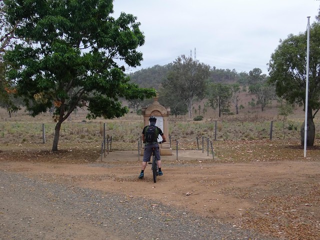
Four of us set off from Colinton on the D’Aguilar Highway and agreed to meet Becca, Tom and Simon at Linville 90 minutes away.
Today it’s little more than a petrol station and a park with a World War I memorial, but over a century ago Colinton was the hub a thriving pastoral district on a droving route which stretched from the cattle sale yards in Newmarket to Cooyar on the Darling Downs.
It’s immortalized in a verse of Saul Mendelsohn’s folk song “Brisbane Ladies” about cattle drovers returning from Brisbane:
The first camp we make, we shall call it the Quart Pot,
Caboolture, then Kilcoy, and Collington’s Hut,
We’ll pull up at the stone house, Bob Williamson’s paddock,
And early next morning we cross the Blackbutt.
I had ulterior motives starting from Colinton: Travellers on the Brisbane Valley Rail Trail can ride on peaceful trails from Ipswich to Yarraman, except for one section between Colinton and Moore where they usually have to ride on the highway. I wanted to check out an alternative route along some quiet roads and road reserves which might make the trip more pleasant.
So we headed west from Colinton, and through rolling farmland around Emu Creek.
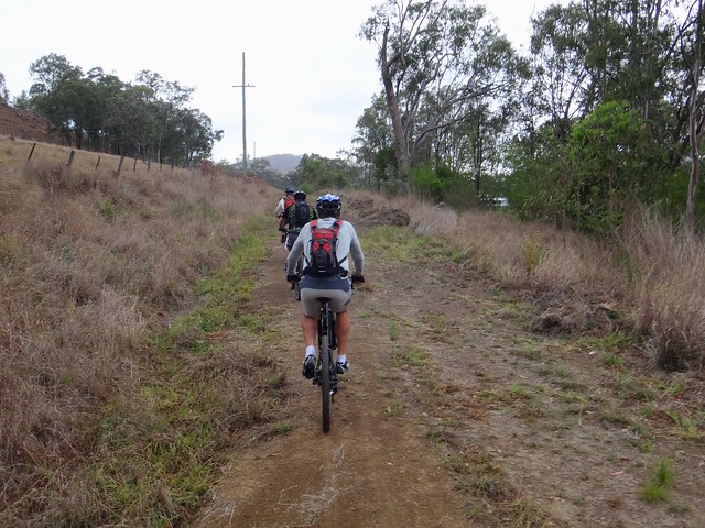
Westaway Road is a quiet track which devolves into a road reserve. We followed it north towards Moore.

I double checked some state government maps to make sure we were on a public road.
This was a wonderful track – perfect for riding on a mountain bike or horseback.
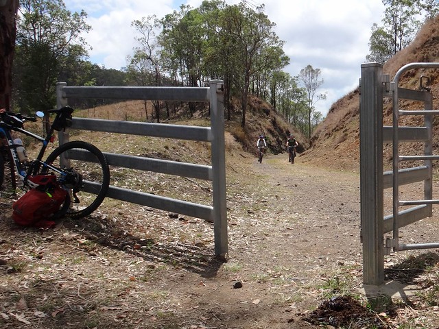
The road passed through someone’s paddock so we left any gates as we found them and kept quiet so as not to startle any cattle.
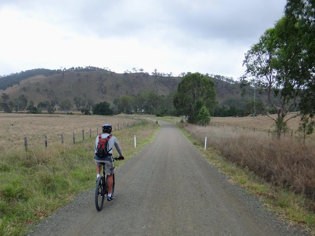
Eventually the track emerged on Himstedts Road near Moore. We followed the gravel road into town.
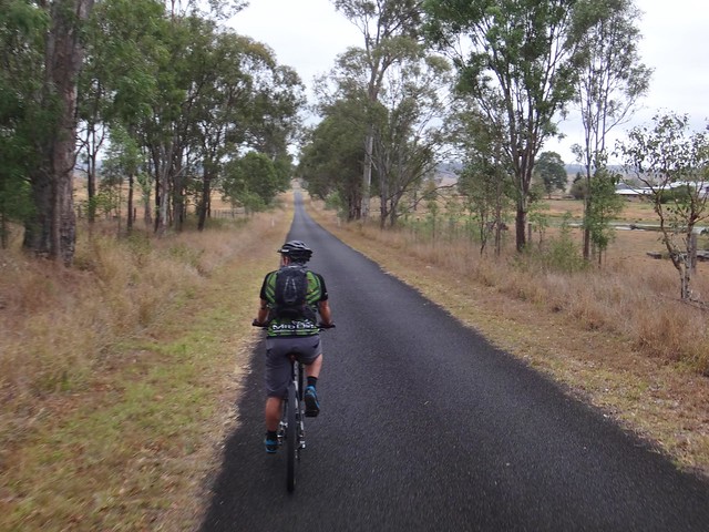
When we reached the Highway, we followed a freshly graded hose trail beside the road – it was as though someone had anticipated our visit and wanted to make sure it was as enjoyable as possible.
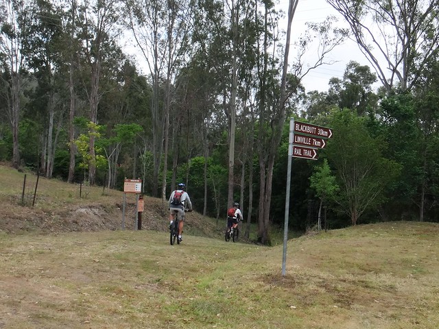
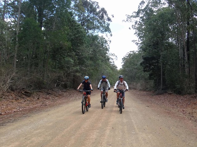
At Moore we rejoined the rail trail and followed the signs to Linville.
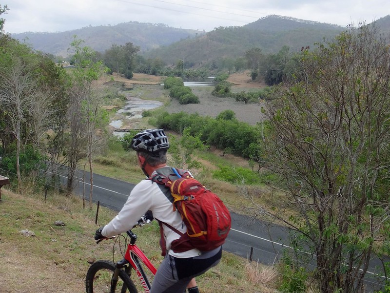
The track offered some pleasant views of the Brisbane River. Although it hasn’t rained for a while, there was still plenty of water in the River.
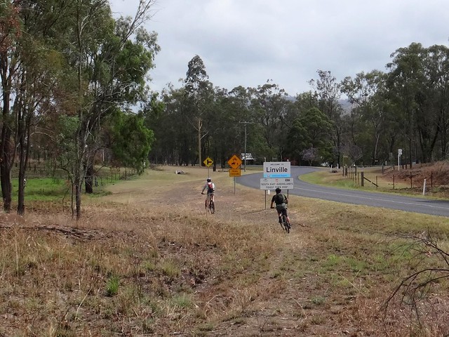
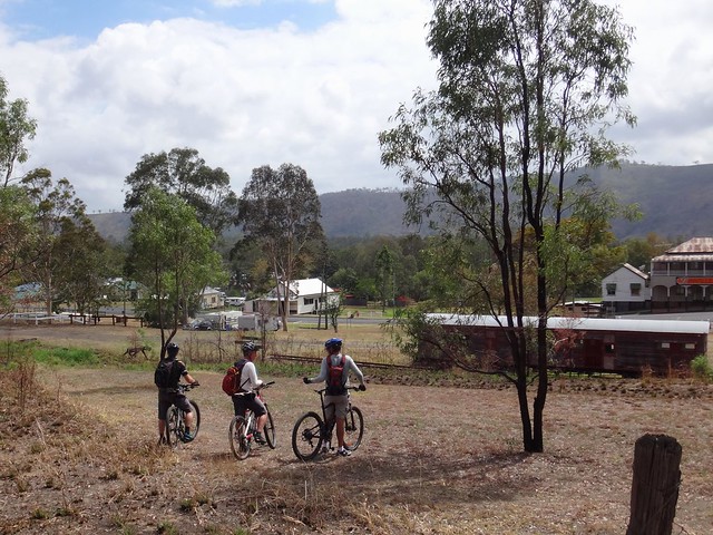
Eventually we rolled into Linville a few minutes ahead of our agreed meeting time with the others.
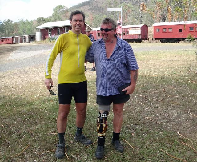
We said “G’day” to Graham. I admired his prosthetic leg which he had painted with a picture of Ned Kelly. It looked much more impressive than the skin-toned alternative.
Good on ya, Graham ![]()
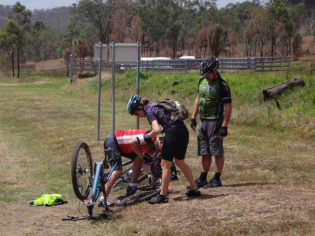
Just as we were about to leave Linville, Tom got a flat tyre, so we enjoyed a slightly longer rest while he repaired it.
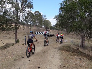
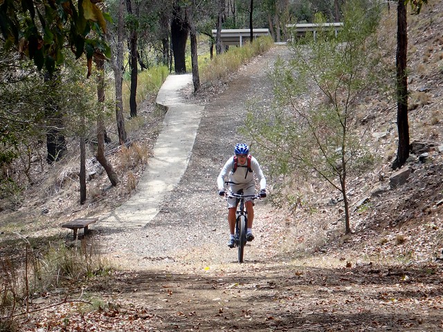
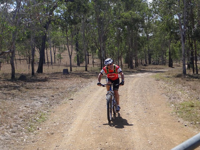
Tom made up for the delay by setting a brisk pace up the hill while the rest of us tried to keep up.
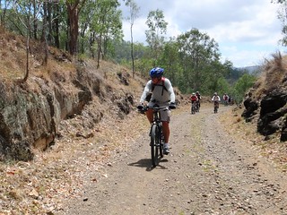
The trail between Linville and Benarkin is a steady 5% uphill grade – easy enough for old trains to get up the mountain, but still steep enough for our legs to notice the continuous climb.
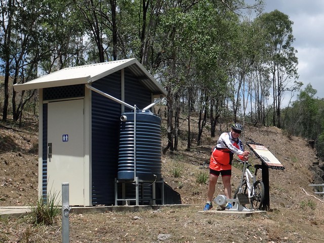
We stopped a few times to regroup on the way up. I was impressed by the quality of the infrastructure on the way up. Simon suggested that the old railway lever might be another way to flush the loo.
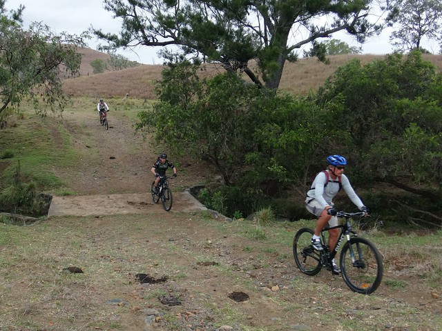
Although it’s uphill all the way, there were a couple of spots where we rushed down through old creek crossings and up the other side..
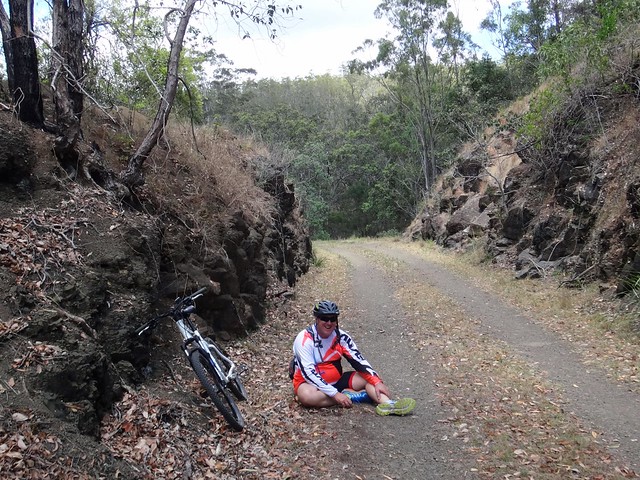
Simon started to feel the heat.
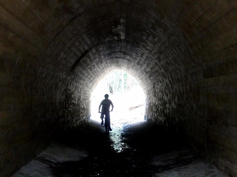
Darb spotted a sign which described an old culvert. I followed him down an embankment beside the track and encountered this delightful tunnel passing under the railway line.
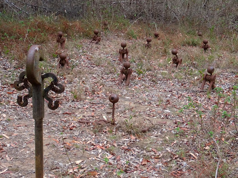
Above the culvert, we saw this art installation made out of the remnants of old railway carriages. Entitled “Fettlers Rest” it features rusty couplings emerging from the ground like resurrected railway workers (Fettlers) rising from the grave. I think their trade union might want to have a word with the railway about employing the dead ![]()
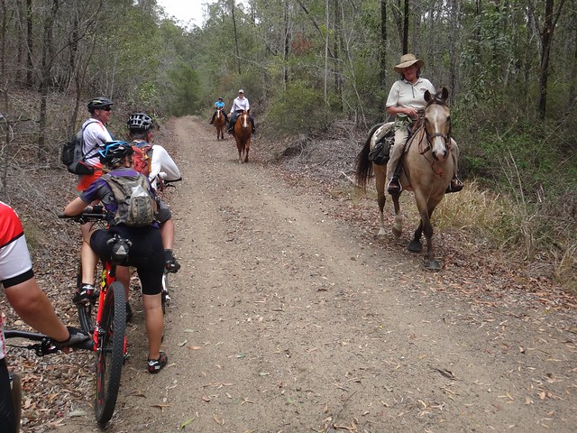
As we neared the top we met some horse riders travelling down the range. We gave them wide berth as they passed – although the horses seemed to be at-ease around the bikes.
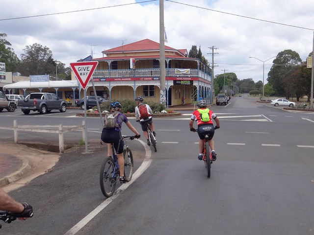
In Blackbutt we stopped for lunch at the local bakery. I ate too much, which slowed me down afterwards.
After lunch, Simon left us and rolled back down the trail.
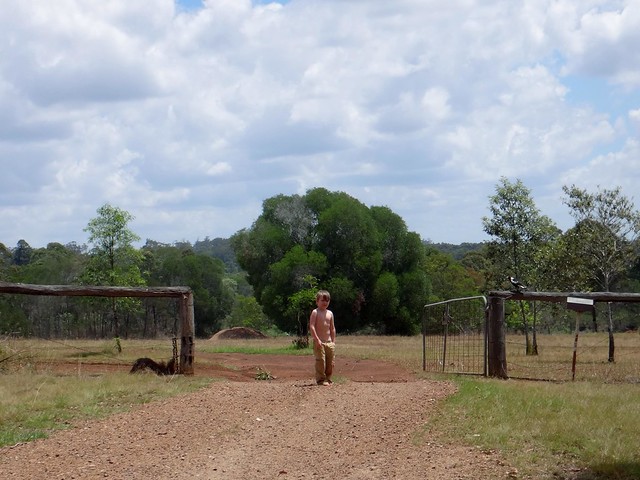
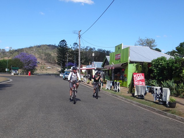
As I struggled to catch up with everyone else, I said “G’day” to this boy standing by his front gate. I wonder what he was thinking as he watched strange mountain bikers roll down his street.
Rather than go back down the rail trail, we followed some long straight gravel roads through Benarkin State Forest.
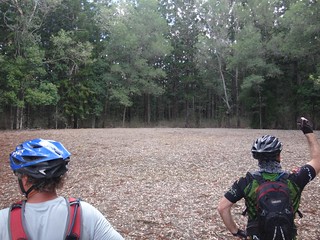
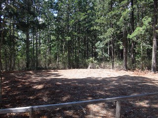
There’s a pair of Bora rings in the forest. Aborigines built the rings in pairs as an important place for ceremonial activities. These days it’s rare to find both rings intact. I was impressed.
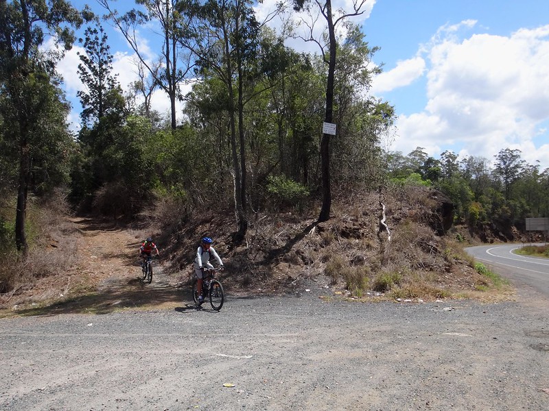
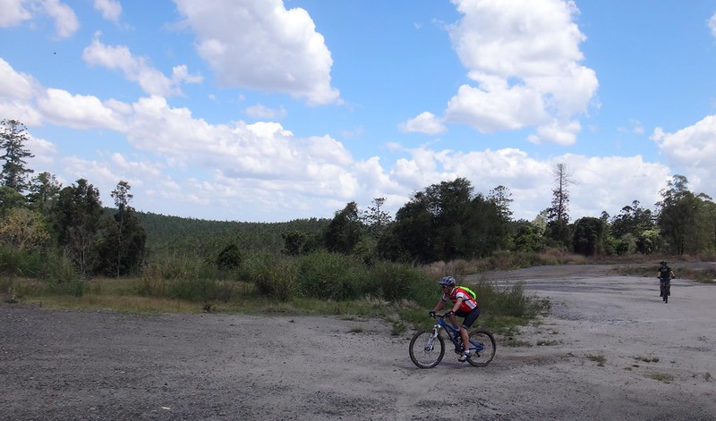
The trail eventually met the highway at Commissioners View – a high point on the edge of the Great Dividing Range overlooking vast tracts of pine forest. We crossed the busy road and followed the trail towards Rohlmanns Road.
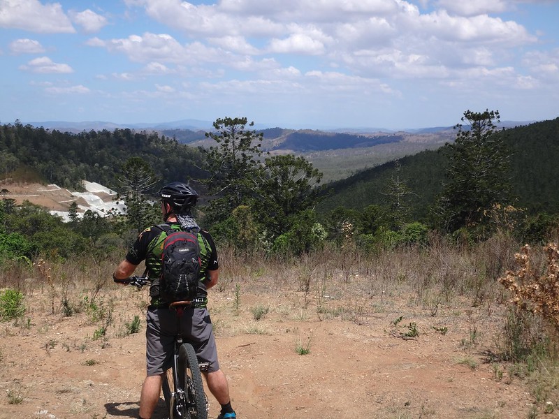
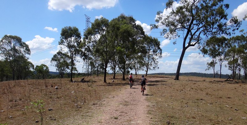
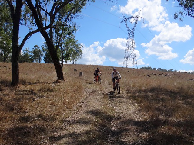
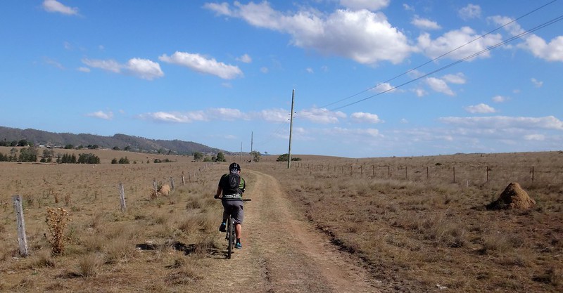
The views up here were great. There were wide open panoramas everywhere under a towering blue sky.
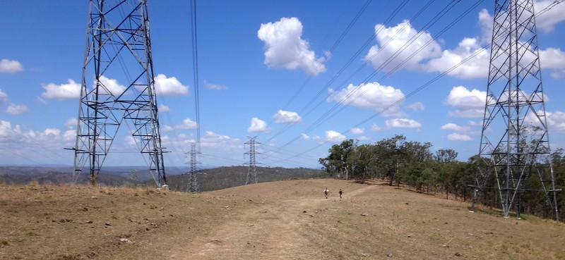
Power pylons strode the landscape like silent titans hauling huge cables.
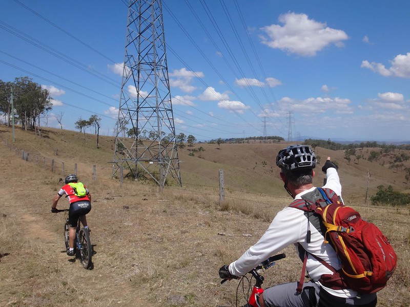
“On a clear day you could see all the way to Brisbane”, Eric declared as he gazed off towards the distant horizon.
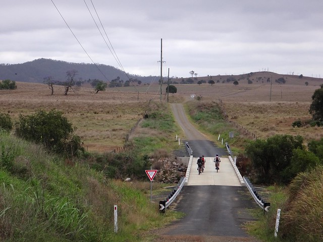
From the top of the hill we enjoyed a steep bumpy descent along Rohlmanns Road. The bumpy track gentry twisted downwards around dark Ironbarks. We all arrived at the bottom safe and smiling.
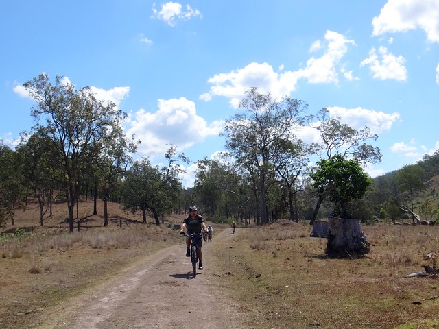
On the valley floor the road undulated over several small hills as we made our way back to Linville.
Becca had a near miss with a skittish cow that jumped across her path. Happily the two of them didn’t collide.
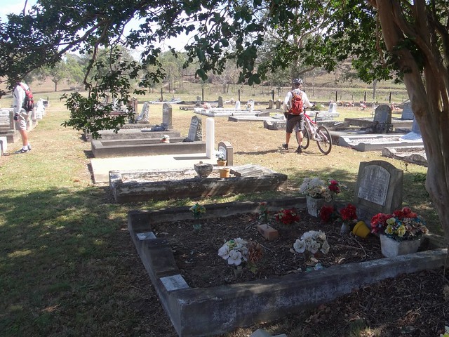
Leaving Becca and Tom in Linville, we made our way back to Colinton and stopped briefly at this cemetery on the way to Moore. It was cool under the trees. Mike made the sobering observation that many of people buried here were born after us. Many more had been under the ground long than they had been above it. We were glad to be alive.
After a quick drink break in Moore, we retraced our tracks back to our starting point.
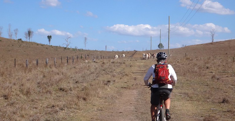
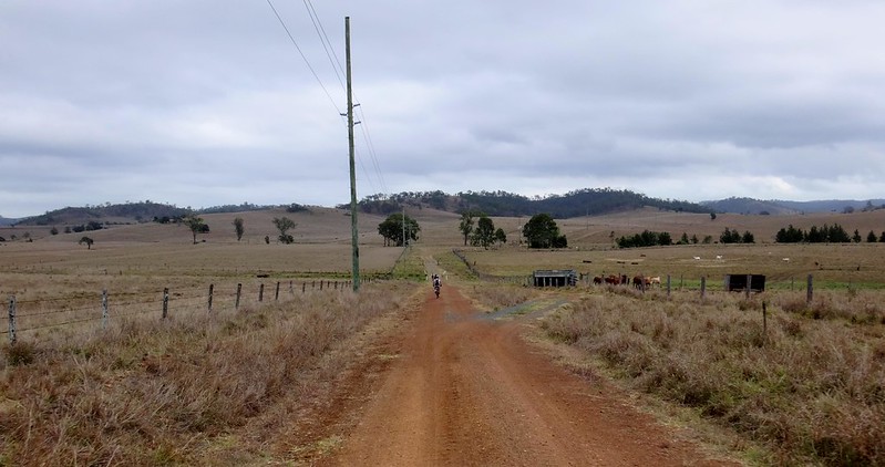
As the afternoon shadows grew longer across the paddocks, we followed in the dust behind a herd of cattle.
In total, we rode about 83 kilometres in seven and a half hours. (Becca, Tom and Simon rode about 50km in about 5 hours)
We climbed about 1,000m in vertical ascent, and I burned about 3,300 kcal.
I’ll rate this ride 7.5 out of 10 on the tough-o-meter.
Thanks Eric, Darb, Mike, Becca, Tom and Simon for a fun day out!
For anyone who is looking for a quiet and safe route between Colinton and Moore, I can recommend Emu Creek Road, Happy Creek Road, Westaway Road and Himstedts Road. It sure beats battling traffic on the highway!


No comments:
Post a Comment