
There’s an unusual creek which flows down from the Great Dividing Range below Toowomba.
Aborigines used to hunt for fish in this creek, which could at times run dry, and at other times transform into a raging torent during the wet season. Once a grass fire swept through the area and burned the fishing nets of the local tribe. So from that day they called the place “Tamamareen” which means “Place where the fishing nets got burned by a grass fire”.
In the 1860′s, a shepherd named Murphy built a hut in the rough foothills near this creek.
Several years later in 1867, a water tank and railway station were built at the bottom of the range to service steam engines grinding their way up the range to the Darling Downs. They decided to name the station after the local creek, which by then was known as Murphys Creek after the shepherd.
In a short while, a small town had sprung up around the railway station.
According to historical writer, Van Derek, Chinese market gardeners camped by the creek in the 1860′s and 1870-’s. They grew vegetables which they then sold to the men working on the railway line.
Disaster struck when a torrential downpour caused a flash flood of the creek, drowning the Chinese who were camped on its banks. Local rumour has it that there is a mass grave in the Murphy’s Creek Cemetery containing the bodies of the victims of that flood.
And as most Queenslanders will tell you, this fickle creek had the final word in 2011, when it broke its banks again, and destroyed an entire town.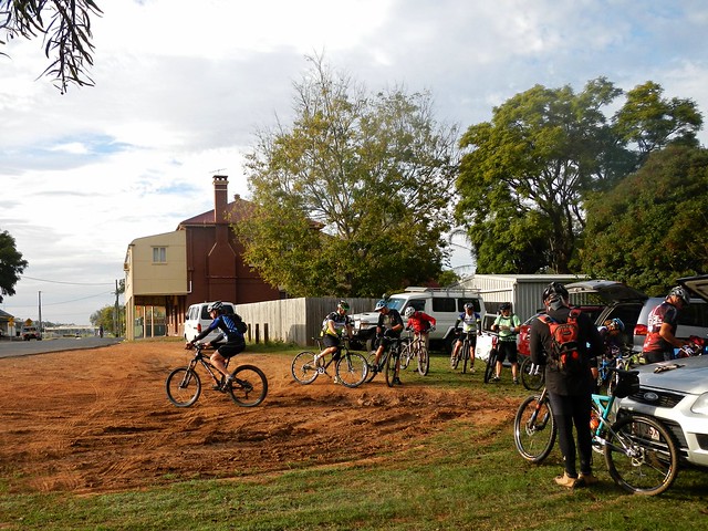
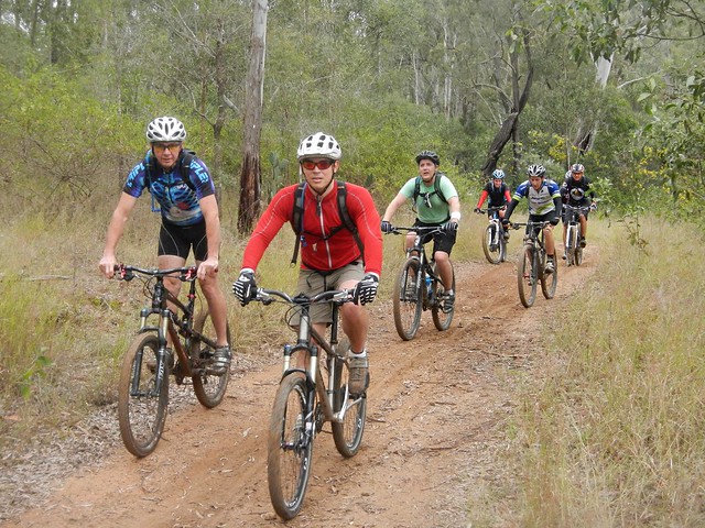
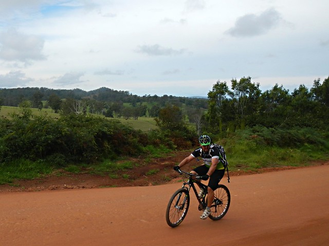
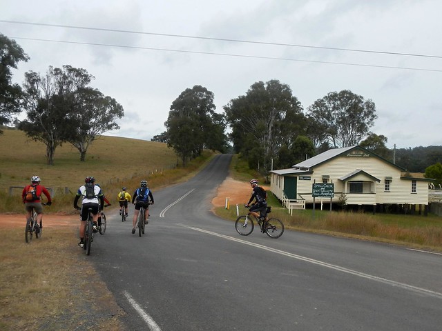
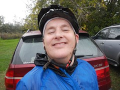
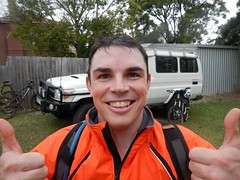
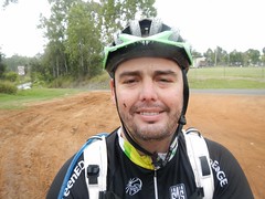
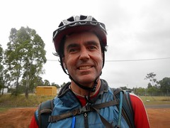
A dozen of us rode off from Helidon to explore this fascinating part of the world.
Since Helidon was pretty much the lowest part of the ride, we started with some gentle climbs near Lockyer before having to work our legs harder as we neared Murphys Creek.
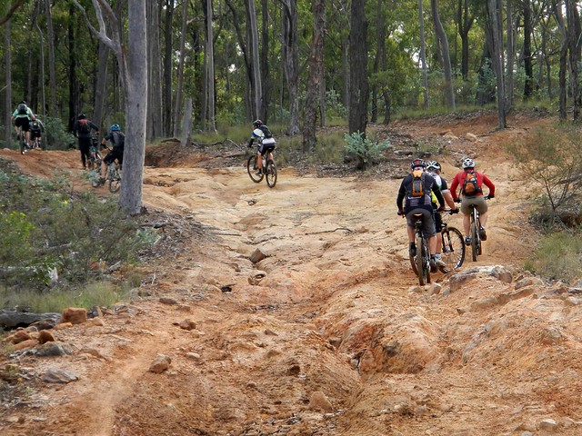
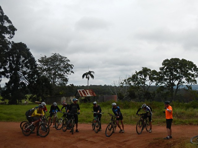
Heading down cemetery road, past the legendary mass chinese grave, we could see some of the challenging foothills that lay ahead. These hills comprised the “small climb”. We’d grind up to about the 600 metre level, and then enjoy a quick downhill run before taking on the “big climb” up Fifteen Mile Road to Hampton at almost 800 metres altitude.
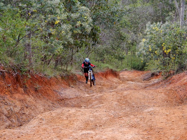
It might have been the “small climb” but the hills around Murphys Creek are tough to ride. At times we had to push the bikes.
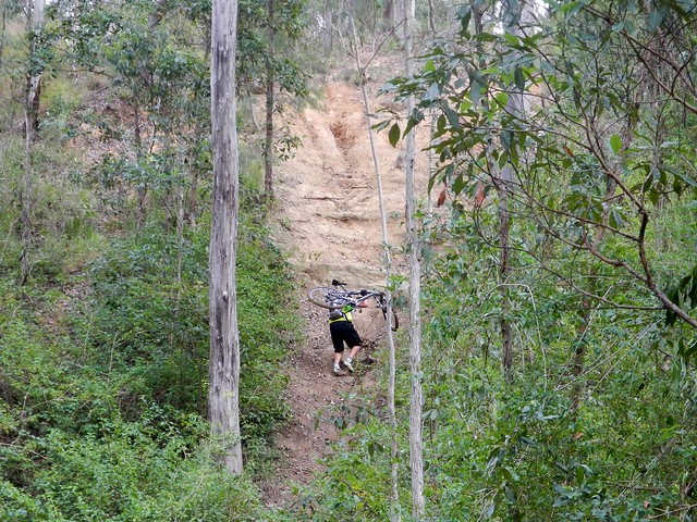
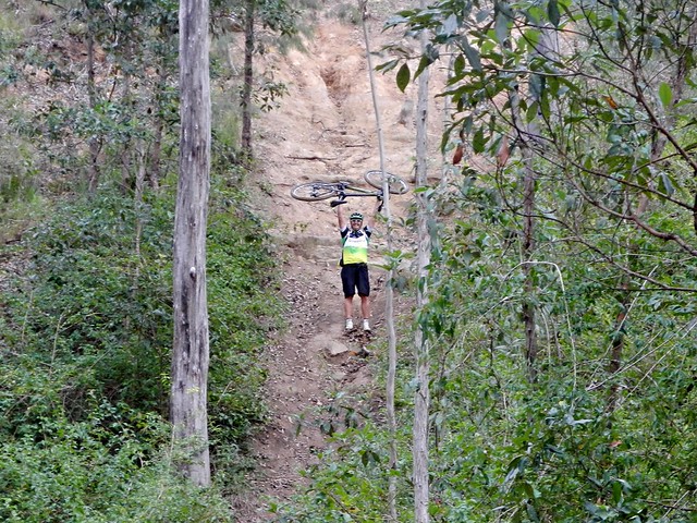
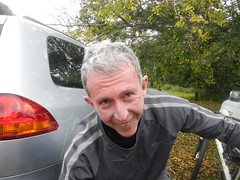
Some of the hills were so tough, we couldn’t even push the bikes up them. We let Steeve get halfway up this hill (so we could photograph him) before we decided to turn around and try an easier route. I don’t think Steeve minded too much ![]()
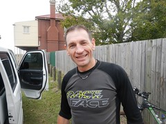
Thank, Jeff, for showing us an easier way through the bush. I think we’d still be in there fighting our way out if it wasn’t for you.
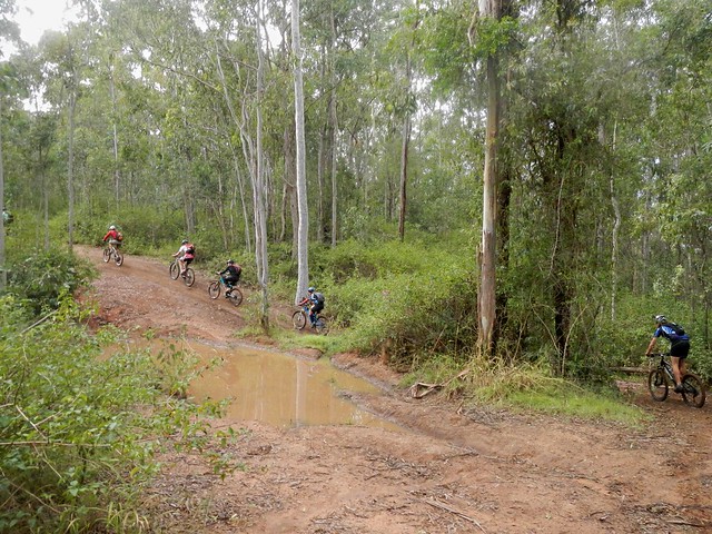
Eventually the monster hills gave way to undulating terrain, and we enjoyed the relatively flat tracks as we gave our legs time to recover. We had crested the “small climb”.
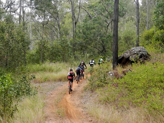
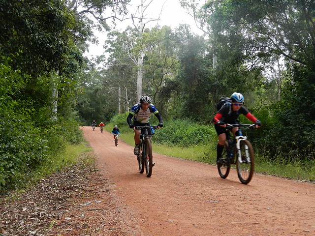
These trails were wonderful. For about six kilometres we wound our way down steep tracks on narrow trails, tyres sliding on the gravel, jumping over waterbars, and hardly having to pedal at all.
I loved it!
The trail spat us out, as steep trails often do, in the middle of some grassy fields at the bottom of a place descriptively named “Fifteen Mile”. We had a bit of a snack here, which was a good thing, because the “big climb” lay ahead.
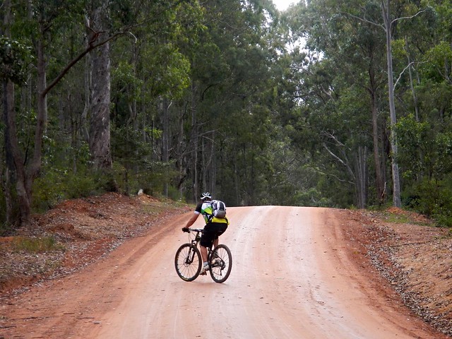
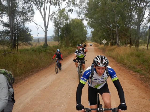
Fifteen Mile Road is a nine kilometre ascent which rises about 450 metres. I was the slowest up the hill, so all I managed to photograph was Steeve ahead of me, snaking up the hill, trying to make the climb a bit easier while slowly wending through the blanket of green eucalypts either side of the smooth clay road.
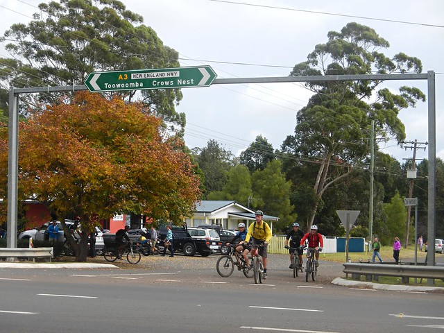
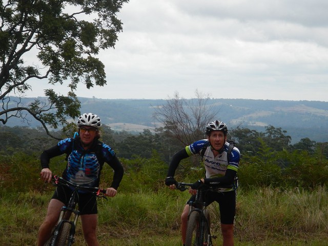
But all hills eventually come to an end, and soon we were coasting over the rolling plateau at the top, near Hampton.
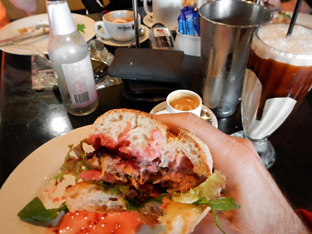
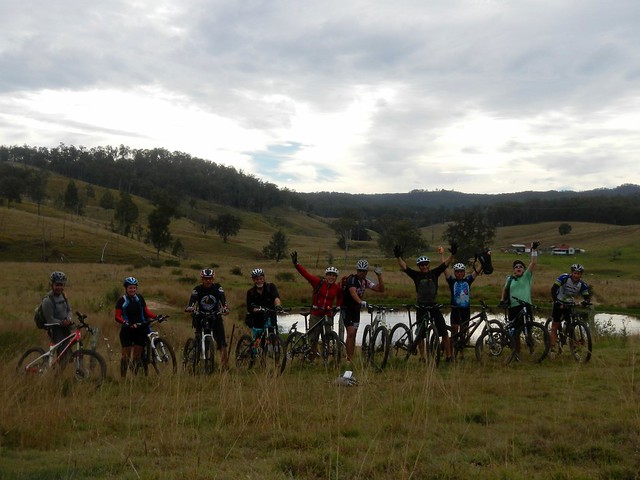
The cafe at Hampton serves delicious mountain bike fuel. The Lamb-burger, short black and Chocolate Milkshake hardly touched the sides.
“Now where’s a hammock so I can have a short nap?” I pondered.
With lunch over, and satiated riders back on bikes, we rocketed down the bitumen along Esk-Hampton Road towards the lookout. This is a busy road, mostly downhill, so we enjoyed the free roll down to Perseverance.
The sign says: “Small Cheer and Great Welcome Makes a Merry Feast” – William Shakespeare.
I couldn’t agree more ![]()
The hills out the back of Perseverance were hard work – especially after such a relaxing lunch. But the surrounding countryside was picturesque.
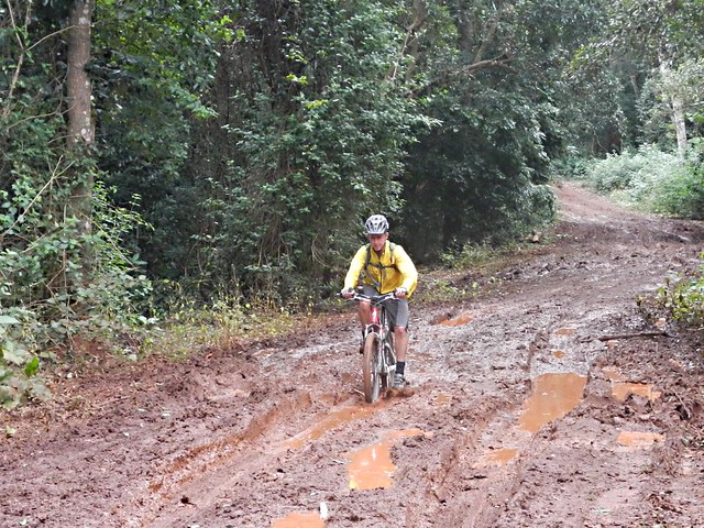
A couple of us ended up falling in the mud after coming across this muddy bog at the bottom of a hill. I thought I’d try and get a picture of Eric doing the same, but he gave us all a lesson in negotiating slippery terrain, and eased through without faltering. You da man, Eric.
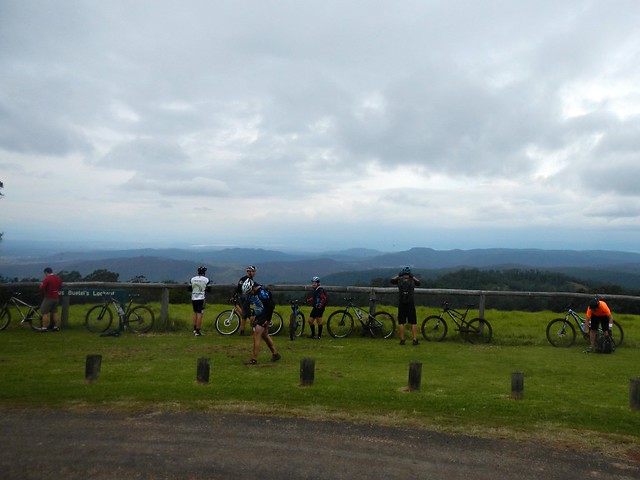
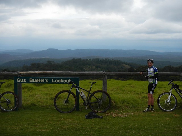
Our tribe of bedraggled muddy riders emerged from the forest to Gus Beutels Lookout. Even though it was cloudy, the view didn’t disappoint. Even the rain clouds rolling in from the south didn’t obscure the panorama.
Rain clouds?
“Do you think we’ll get back before the rain hits us?” somebody asked.
Maybe ![]()
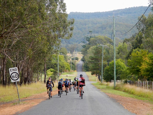
And so began the “big descent” down Seventeen Mile Road – a long (mostly) dirt road, strething 30 kilometres back to Helidon, with only one or two uphill sections.
There were one or two near misses on the screaming descent. Dom took a corner a bit too widely and ended up colliding with some rocks. “You were a bit lucky there, Dom”, I said. It could have been a lot worse, but he only suffered a few scratches and bruises.
I took a slight detour so that this route would connect with the rest of my map. Half the group keps rolling down the hill while I did this, and few waited. Unfortunately this meant we copped the rain during the final part of the ride, while the others arrived back nice and dry.
But a little bit of rain at the end of a tough ride is almost pleasant.
This ride was 83km and took 7 hours including breaks. We climbed a total of 1,833m. I burned about 3,500 kcal.
I’d rate this one 9 out of 10 on the tough-o-meter. This was in cool rider-friendly weather. I wouldn’t attempt it in summer.
Thanks everyone for a fantastic ride. Geeze I have some great friends.


No comments:
Post a Comment