I did a pretty long ride today. From our place I headed out to Samford, then up into the D’Aguilar Range to Mt Nebo, down some beautiful dirt tracks to The Gap, then along some cycle-ways to the Moreton Bay Bike way through the mangroves in the Boondall Wetlands, and back home. This was a solo ride. I’ve done similar distances with friends before, but this was the first time I did it by myself, which meant I rode a lot more conservatively than if I was in a group.
That’s not to say I didn’t have setbacks. I got a flat near Samford, which wouldn’t have normally been a problem. But I have tubeless tyres. When they go flat on the road, you have to stick a tube in. But my bike has thick rims, and the tube stem didn’t poke out far enough for me to lock the pump on it. Eventually I figured out if I screwed on a presta / schraeder adapter, I could inflate the tyre through that instead. But it took me three-quarters of an hour to figure out how to do it. (Next time it will take 10 minutes).

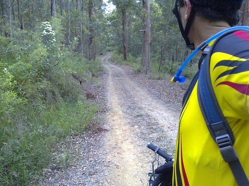
South Boundary Road is a beautiful track which runs from Mount Nebo to The Gap and passes through lush rainforest and open eucalypt bush land. On any weekend it’s a free-way for mountain bikers ![]()

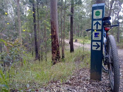
Lots of trails branch out from South Boundary Road. Even with a GPS I missed one turn – the same turn I missed last time. Thankfully there are lots of signposts to show the way.

The southern end of Brisbane Forest Park borders Mt Coot-tha forest, which has been set aside by the Brisbane City Council.
It has miles of trails to ride as well.
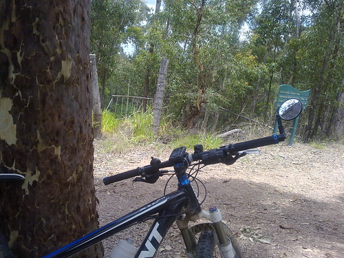
I couldn’t resist leaning the bike up against a large spotted gum and taking a picture of this old wrought iron gate in the middle of nowhere.

After leaving the forests of the D’Aguilar Range I headed east towards the coast.
Thankfully most of the way is via bike ways which go through the many parks that line the creeks on their way to the sea.
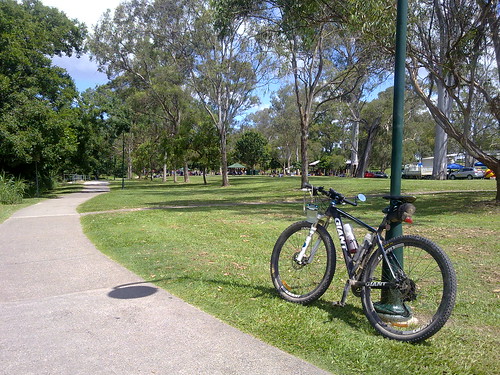
Kalinga Park is usually full of people enjoying a picnic lunch on a Saturday. Today was no exception
All up, 112km with 1750m of vertical ascent. 5,800 kcal burned. (That’s a lot of Gatorade ![]() ).
).

No comments:
Post a Comment