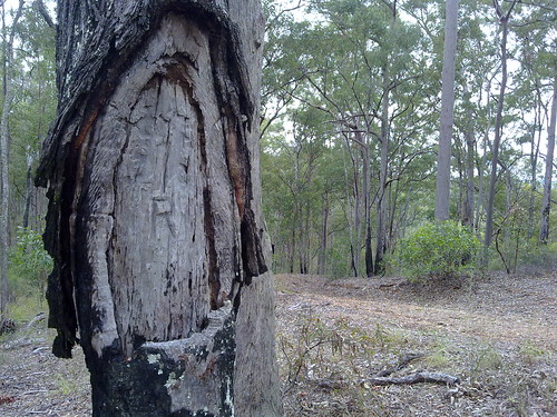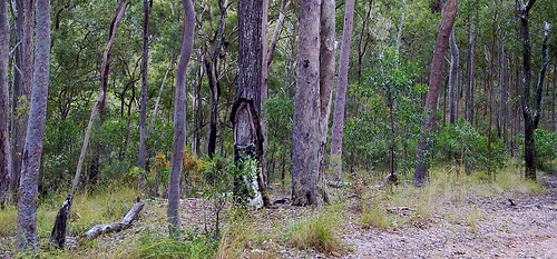
One morning while I was zooming down Clear Mountain Road on my bicycle at about 70km/h this strange looking tree caught my attention. The next day I came back to have a closer look and discovered it had been “blazed” by a surveyor. Surveyors often used to mark survey points by cutting out a semi-circular patch on the bark, and emblazoning it with survey symbol.
My friend, and local historian, Leith Barter informed me that the tree was recorded on a survey by Gavan Newman in 1938. It was either blazed by him then, or during an earlier survey in 1920.
Gavan Newman was born in Caboolture in 1888 and was registered as a surveyor from 1914 to 1970. In other words he was a surveyor for 56 years.
If you’re interested there’s a copy of part of his original survey plan here:
In history we often think of explorers embarking on exciting voyages of discovery, but in Australia’s past, much of the “exploration” was done by men of maps – surveyors like Newman:
John Oxley was a surveyor in the Royal Navy. James Cook and Matthew Flinders were arguably the best cartographers of their age.
But if you ever stumble across a blazed survey tree, spare a thought for the unsung explorers like Gavan Newman.
View larger map

No comments:
Post a Comment