
D’Aguilar National Park is spectacular – even on a bleak. cool, cloudy day like it was today.
I rode up “The Goat Track” headed for Mount Glorious, then set off down Joyners Ridge Road.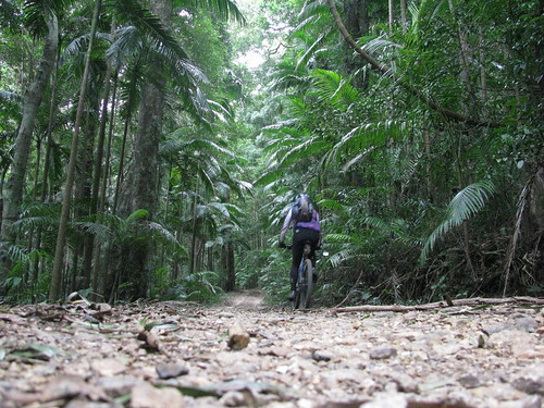
The cool rainforest at the top of Joyners Ridge Road at Mount Glorious is a delight to roll through on the bike.
All up it’s about a 10km descent to the South Branch of England Creek at the bottom. Enjoy the descent, because once you get to the bottom of the hills, you have to go up!
Goodes Road is a steep fire trail that climbs 550m in 5km from England Creek back up to Mount Glorious.
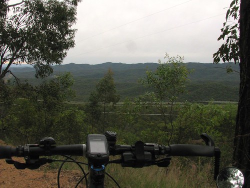
I must confess I took this photo, not because I was impressed with the view, but because I needed a rest.
That climb is hard work!
In hindsight, the view is pretty good too ![]()
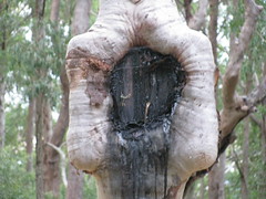
At the top of Goodes Road there’s a strange looking spotted gum that has a couple of signs on it.
The strange thing is that it looks like it has grown over one of the signs so all that’s left is a square “lump” in the trees “throat”.
Dare we hope that the trees are taking over?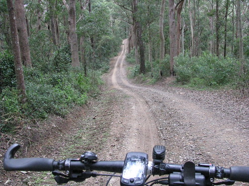
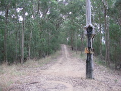
Once I managed to climb back up to the top of the hill, Dundas Road provided a really pleasant ride along the ridge top back to Mount Glorious.
This is a fun ride after the hard work of the climb – quick easy trails that wind through the rainforest, with Bellbirds tinkling in the background.
All up this ride was just over 35km, with 1240m of ascent and almost 3,000 kcal. It was hard work, but a lot of fun!
No comments:
Post a Comment