Please note: you can find a more up to date version of this blog at http://blog.neilennis.com

Sunday, April 14, 2013

Flinders Peak

Read More

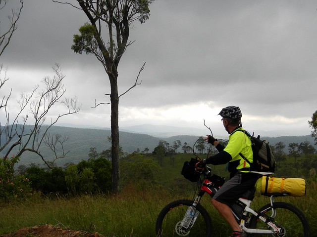
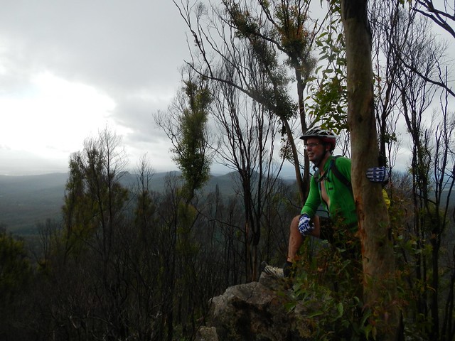
Enjoying the View

We didn’t intend to climb a mountain – it just “happened”.


The plan today was for a scenic downhill ride from the Great Dividing Range near Toowoomba down to Esk in the Brisbane Valley. That all changed because of heavy overnight rain. At 5.00 am I messaged Eric and Becca saying “You don’t REALLY want to go out in this weather do you?” to which they both agreed. And I promptly went back to sleep for another few hours.


Later that morning, with the rain still pouring down, Eric phoned asking if I had an idea for a wet-weather ride. I muttered something about Peak’s Crossing near Boonah, and within the hour we were on our way.
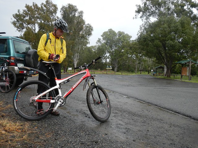
Preparation

But a funny thing happened…. The closer we got to our destination, the lighter the rain fell. I repeated my Woody Allen epithet to Eric “99% of success is just turning up”. By the time we got out of the car at Peaks Crossing, there was hardly any rain, so we set off optimistically in our rain jackets, with me proudly wearing a shower cap on my helmet to keep any future precipitation out.
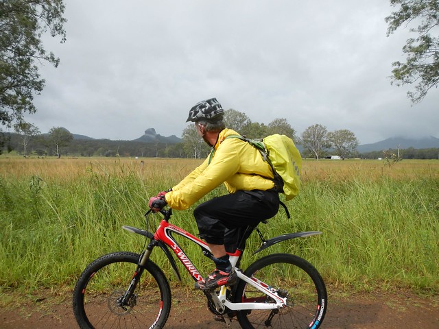
Allens Road

The plan was to head east up into the Teviott Range near Flinders Peak. I wanted to join up with a previous ride on my Ride Network Map, and possibly finish by looping down through Boonah.


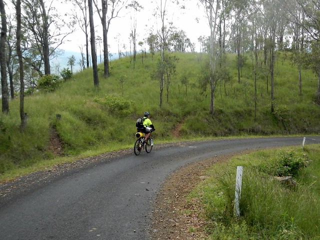
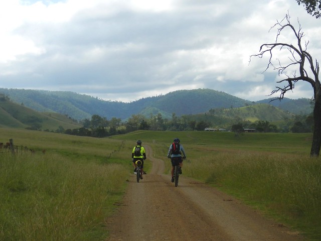
So we started by riding out of town on some quiet back roads.
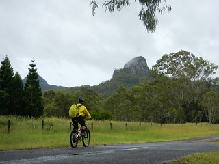
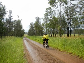
Ivorys RockAllens Road

Ivory’s Rock and Flinders Peak loomed larger as we headed up the Teviott Range towards the Flinders Peak Picnic Ground. The gravel road became narrower, twistier and steeper as we got closer.
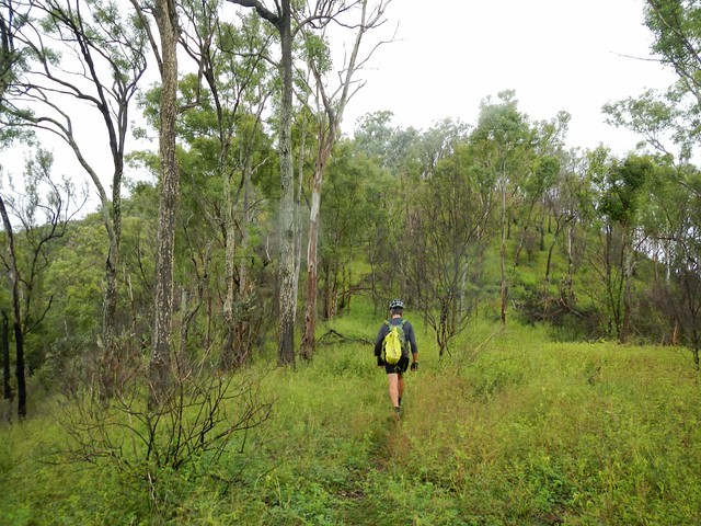
Going Up

When we arrived, I intended to turn around and complete the ride by doing a large loop down to Boonah and back. Eric had other plans.


“Why don’t we walk up to the lookout” he suggested.


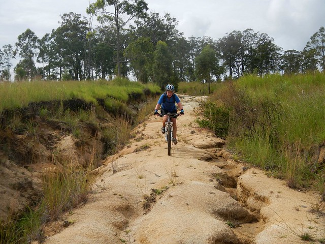
So we started riding at first, then walking up the lookout track. I had no idea where we were going, or how long it would take. Neither did Eric. But on two feet, as on two wheels, Eric led the way, and I (breathing heavily) struggled to keep up.
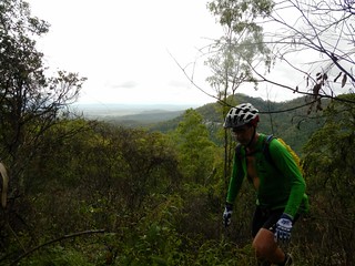
Wait for me!Enjoying the View

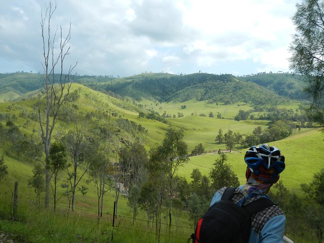
As the track got steeper and rockier, and the views more spectacular, I resigned myself to the idea that this wasn’t going to be a leisurely ten minute detour.
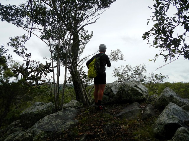
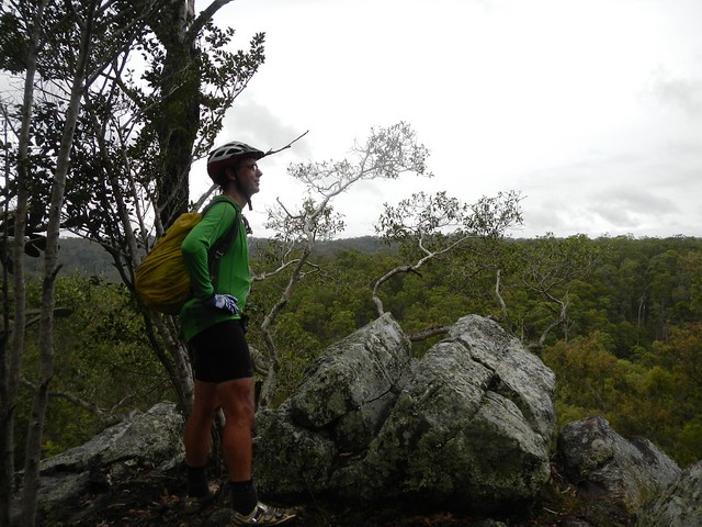
Enjoying the View

Enjoying the View

As we walked, I checked my GPS and was surprised to discover we were actually walking up the side of Flinders Peak. This was no lookout we were going to, but the highest point in the Teviott Range – 679 metres above sea level.


In fact, Flinders Peak is so high it was spotted from sea by Matthew Flinders in 1799 as he sailed up the Queensland Coast.


No, he didn’t name it after himself. He actually called it “High Peak”. 25 years later, when John Oxley passed by the same point in his ship, he saw it as well. Probably using charts drawn by Flinders, he renamed it “Flinders Peak” in honor of Matthew Flinders.


Long before Flinders and Oxley passed by in their ships, the Ugarapul Aboriginal people spent some of their time living in the Teviott Range. What we call “Flinders Peak” was a sacred site to them. They called it “Yurrangpul” after their totem – the green tree frog named Yurang.


In the late 1820′s, a penal colony was established in nearby Moreton Bay. It was run by a cruel despot named Patrick Logan. As well as punishing errant convicts in cruel new ways, Logan also enjoyed exploration, venturing far inland south-west of the prison settlement. He was the first European to cross the Teviott Range in 1827, near where Eric and I were climbing. The Logan River, which has one of its sources in this area is named in his honor.
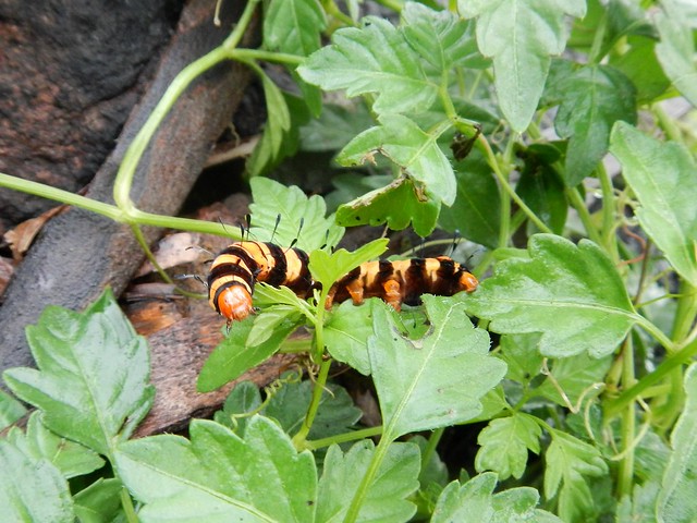
Caterpillar

As Eric and I climbed, the landscape slowly changed. I didn’t see any Green Tree Frogs that were so special to the Ugarapul people, but I did spot this brightly colored caterpillar fattening itself up, and getting ready to pupate during the colder months.
Enjoying the View

Enjoying the View

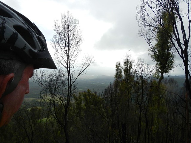
And as we got higher, a funny thing happened. The clouds parted, we could see blue sky, and the sun broke through. We’d climbed up to about the 500 metre level and were able to enjoy some amazing views out to the west across the farming plains of the Fassifern Valley.


We both agred 500 metres was about as far as we were prepared to climb this day. We both had cycling shoes on. They have hard stiff soles. It’s dangerous to walk on slippery rocks with them. Perhaps I should have thought of that before climbing this mountain :)

City Views

City Views

On the way down we enjoyed some great views of Brisbane off in the distance to the north-east.
Flinders Peak

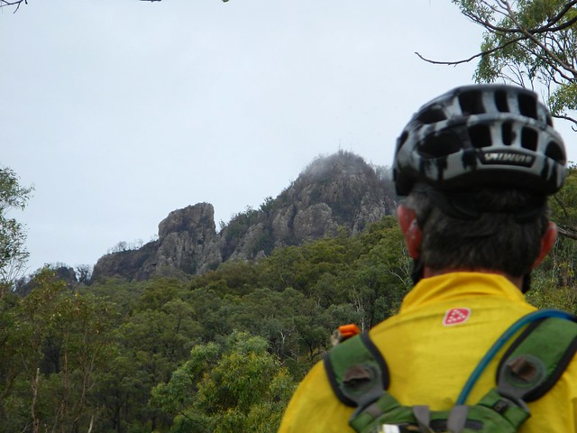
And we took a few minutes to enjoy the view of the “Peak” we’d almost conquered in our cycling shoes.
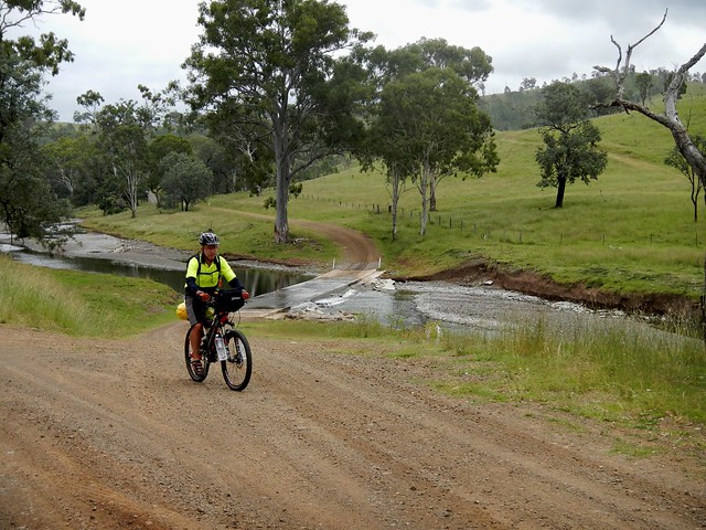
Creek Crossing

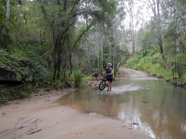
As we made our way back to Peaks Crossing, we decided a short 20 km ride, and a two hour climb up a mountain was enough for one day. Our loop into Boonah can wait for another rainy day.


We rode / hiked almost 23km in about three and a half hours, climbing a total of about 570 metres. I burned about 1,400 kcal.


This is an enjoable ride and offers stunning views for such a short distance. I’d rate the ride 6 out of 10 on the tough-o-meter.


The climb is a bit more difficult. We didn’t have the right gear and didn’t get to the summit. If you plan to do the climb, it would be wise to bring some good climbing shoes. I’d rate that part of the adventure 8.5 out of 10.


Thanks, Eric, for another surprising adventure!


Sunday, April 07, 2013

Summer Creek

Read More

Sunday Creek Road

Rugged beauty – that’s what appeals to me about Conondale National Park. It contains lush rainforests, spectacular waterfalls, babbling creeks, and massive mountains; but it’s hard work to explore, especially on a mountain bike.


My friends and I have explored this area on several occasions enjoying a splash in Booloumba Falls, conquering some large hills in Bellthorpe Forest, and soaking in some amazing views at Mount Kilcoy.


The aim of today’s ride was to ride eastward from Jimna up into the Conondale Range and explore some places around Summer Creek that we’d never been to before. I was also keen to join up some more places on my map.

Sunday Creek RoadSunday Creek Road

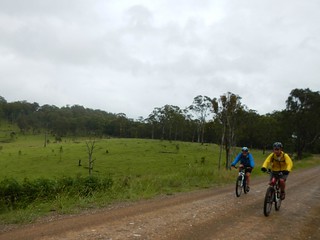
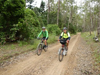
We started our trek heading eastwards along Sunday Creek Road. near Jimna. This gravel road twists through the forest all the way to the Mary Valley. Before entering the forest we enjoyed riding in the mist through some green farmland. The light drizzle kep the temperature down which made for very pleasant riding weather.

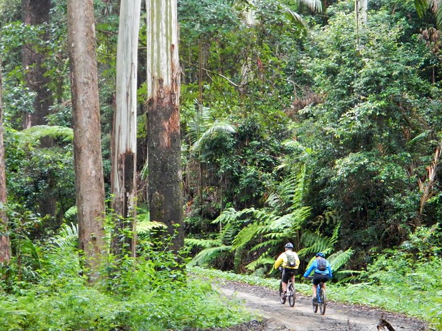
Riding in the Forest

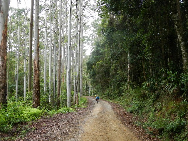
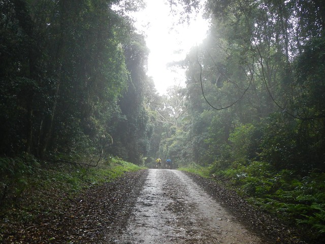
As we continued the slow climb up the hill, the terrain suddenly changed and we were surrounded by towering eucalypts – their heads disappearing into the low-lying clouds.

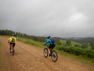
Hill in the Mist

The road kept rising, and the temperature kept dropping. Eventually my GPS told me we were well over 800m in height, which explains why it was feeling so cold.


Eric and Becca are strong riders, so they kindly waited for me to catch up with them at the top of most hills. I was glad that I’d brought a plastic wind jacket with me to keep the cold air off while we zipped down the other side of the hill. And what a descent it was! We dropped over 400m in altitude as we rolled down this wonderful 13 km descent.

Summer Creek

Summer Creek


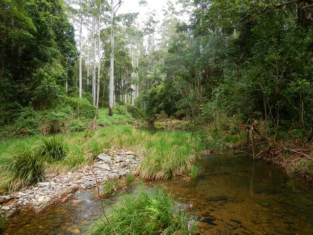
Alas, the law of gravity dictates that all descents must eventually end. Our descent ended at Summer Creek. On one side of the track this crystal clear creek bubbles through the forest and over rocks. On the other side it accelerates down the mountain towards a waterfall. Exploring waterfalls on a bike is not a wise idea, so we decided to keep to the track. We topped up our water from the creek before continuing.


Summer Creek Road

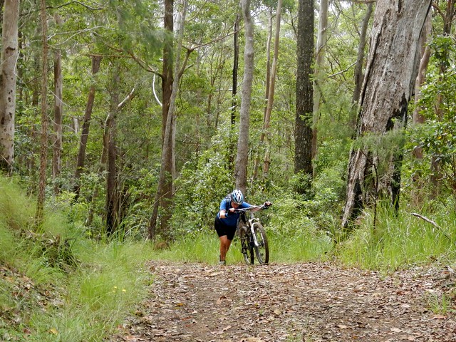
What followed was two kilometres of steep muddy tracks that were impossible to ride. We had to slowly trudge up the slopes of Summer Mountain, pushing our bikes over rocks and through boggy ground. It was exhausting.


Becca recently competed in a 24 hour mountain bike race. She’s an amazing athlete who has been trying to build up her endurance for future events by attempting longer tougher rides. I don’t think she had this in mind when she agreed to ride with us today. She pondered that Summer Creek Road made some of the hills in her 24 hour race last week look pretty easy.


McAulays Road

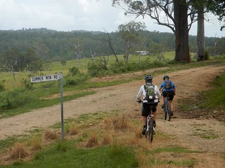
We eventually left the forest and started making our way westwards towards Jimna along McAulay’s Road. On the map I thought this would be the easy part of the ride, winding through farmland. I couldn’t have been more wrong. The track was as “rough as guts”.


McAulays Road

McAulays RoadMcAulays Road

Although it’s quite rough, McAulay’s Road is picturesque as it winds through a large cattle property.


McAulays RoadSummer Mountain Road

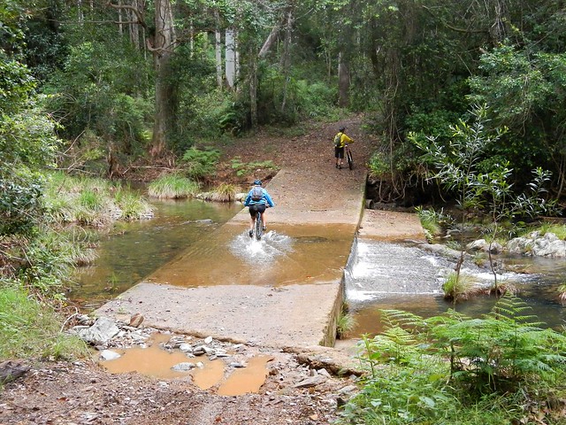
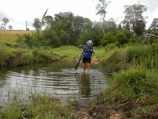
We had to cross several creeks on our way. At first I wimped out, and took of my shoes and socks before crossing. (My riding buddies often tease me because I don’t like getting my feet wet). Eventually I just gave in and waded across the creeks in my shoes to save time. Wet feet aren’t that annoying towards the end of a ride anyway.


Hoop Pine Forest

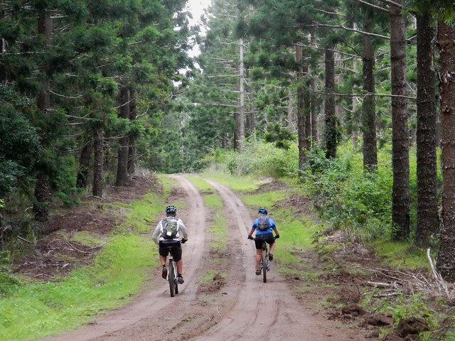
Eventually we left the farmland and entered the hoop pine plantations near Jimna. Hoops are beautiful native trees, and form part of large forestry plantations around Jimna. The plantations are criss-crossed with forestry roads which we zig-zagged through as we made our way home.


Finished!

We eventually rolled back into Jimna, exhausted. Although we only rode 52km, it took us almost 7 hours including breaks. We climbed a total of 1,850m in vertical ascent, and I burned about 2,800 kcal.


I rate this one 8.5 out of 10 on the tough-o-meter. A word of warning though – you need a high level of fitness if you plan to follow this route – especially the northen section. It’s rough, steep and very slow going. You also need plenty of water. We were fortunate that the weather was cool and that the creek water was drinkable. In dry hot weather this would by much more difficult.


Thanks Eric and Becca for another great adventure, and for helping me fill a few holes in my map. I now have a continuous track log that almost stretches from Maidenwell near the Bunya Mountains in the west, through Nanango to the Sunshine Coast and down to Brisbane :)


Sunday, March 31, 2013

Nanango to Jimna

Read More

Brisbane River

If you traced the Brisbane River as far upstream as you could, you’d end up near Mount Stanley, to the west of Nanango in the South Burnett. Today’s epic adventure was a point-to-point ride starting at Nanango, rolling down the slopes of Mount Stanley and following the upper reaches of the Bribane River to Linville, before heading up the Conondale Range to the small forestry town of Jimna.

Jimna Visitor Information CentreLocal Knowledge

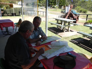
Before setting out we met with Dave Wright, a Jimna community leader who runs the local visitors information centre. He’s lived here since the 1940′s when his father was a timber worker, so Dave is well-acquainted with the forest trails in this part of the world.


I left my van at Jimna, and got a lift in Eric’s car to Nanango where we stayed the night, so we could get an early start the next day.

Cheers!Ready to Go

We stayed at Uncle Bobs Cottage – a B&B in East Nanango on the edge of the State Forest. Our hosts, Rod and Celia Price run an organic vineyard there, and kindly let us try some of their delicious Verdellho.

RodEast Nanango Forest

Rod decided to dust off his old mountain bike and ride with us part of the way up the nearby hills. His property is surrounded by a network of trails through local hoop pine forests, so his B&B is an ideal base from which to explore the local forests – especially if you like good wine :)

Enjoying the View

Enjoying the ViewSomewhere near Nanango

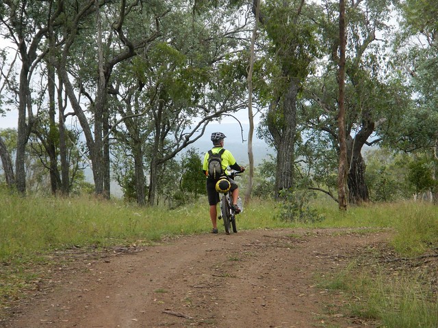
After leaving Rod, we slowly made our way towards the edge of the Great Dividing Range which gave us some great views of the South Burnett.

Enjoying the View

Mount Stanely Road

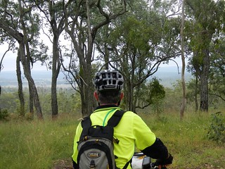
Eventually we were able to look down into the valley surrounding the upper reaches of the Brisbane River near Mount Stanley, before enjoying a long steep descent down to the river.

Brisbane River

Brisbane River

It’s hard to believe this is the same muddy brown river that meanders through the city. Up here it’s pristine, crystal clear, and delightful.


Enjoying the view

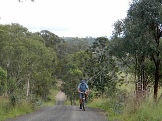
The road follows the meandering course of the river, undulating over gentle hills. It’s an easy ride with pleasant views.

Andrea and Wayne

Andrea and WayneAndrea and Wayne

We were pleasantly surprised to meet a couple of touring cyclists, Andrea and Wayne from Bli Bli who were making their way up to Nanango. After the steep descent we’d already made down Mount Stanley Road, Eric and I could only wonder at what sort of hard work they had ahead of them to get up the range.

Brisbane River

Brisbane River

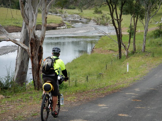
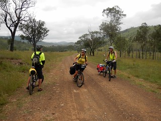
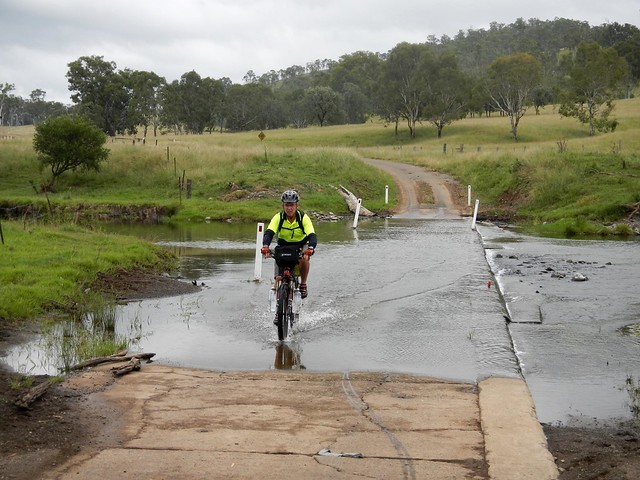
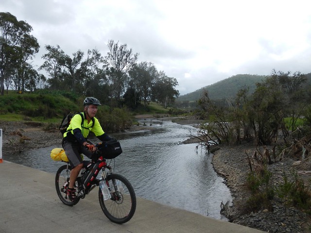
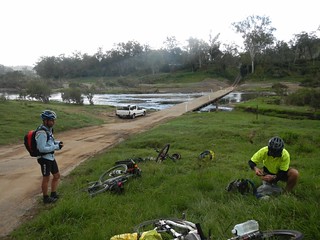
We crossed the river at least a dozen times – sometimes over dry causeways, sometimes through water. This is one place you wouldn’t want to ride after heavy rain.

DSCN3047_copy

DSCN3045_copyWhere to?

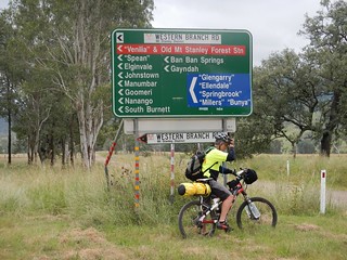
We passed a few old buildings and historic sites which hinted clues about the history of the district. When we finally reached the junction of the East and West branches of the Brisbane River, I was surprised at how many different places you could get to from this remote spot.

Brisbane RiverBrisbane River

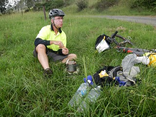
We stopped for lunch by the Brisbane River near where it meets with Monsildale Creek. Eric was carrying a lot of gear because he was camping that night. This meant he was able to boil the billy and make us a hot drink. Our friend Rients joined us here too. He had ridden up from Brisbane the day before, via Esk and Moore (about 150km), and was also planning to camp with Eric that night.

Monsildale Creek

Monsildale RoadMonsildale Road

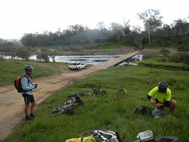
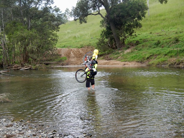
From here we rode eastwards along Monsildale Road. The road follows Monsildale Creek, and we had to wade across it several times. At one deep point Eric was up to his chest in water as he carried his bike across. I let him cross first, and watched carefully to make sure it was safe :) Eric’s bike was heavily laden with overnight camping gear, so it was hard work hoising it above his head and wading across the creek.

Monsildale Creek

Monsildale Road

As we headed east, the “road” devolved into a track until it was quite clear we were riding along someone’s very long driveway.

Gillyland Farm

Gillyland FarmGillyland Farm

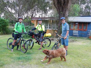
We eventually reached the farmhouse. This cattle property is owned by the Gillyland family, who kindly let us ride through. We said “g’day” to family elder, Stumpy, who was cleaning a huge fish out the back. “So you’re heading to Jimna, hey?” he asked. “You’ll have to go up the side of Mount Buggery to get there” he commented – hinting about the steep climb we had ahead of us.

Monsildale Creek

Monsildale Creek was crystal clear as we rode beside it. We took this opportunity to re-fill the water bottles before the climb.

Monsildale Creek

Monsildale Creek

Our track gradually morphed from a pleasant country road to a steep winding forestry track as we slowly made our way up the Conondale Range. “Mount Buggery” I kept muttering to myself as I remembered Stumpy’s words. It definitely was hard work after the distance we already had put in.

Jimna / Murgon

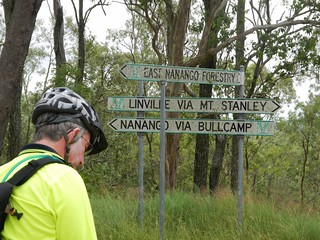
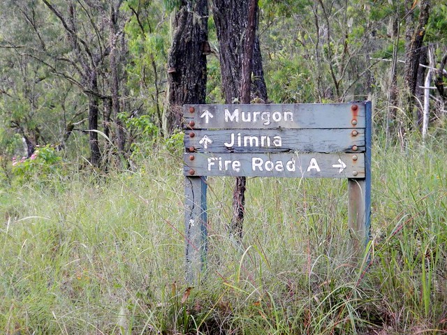
At this stage, Rients and Eric motored up the hill with their super-human legs. I slowly followed wondering what sort of diesel engine these guys were carrying. A worn out old foresttry sign gave me hope that our destination wasn’t too far away.

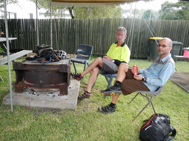
Resting after the Ride

Dave WrightCharlie

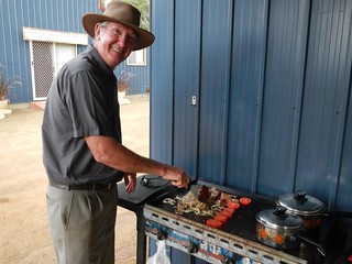
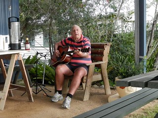
And before we knew it we had arrived in Jimna. Dave was busy at the barbequeue, frying up hamburgers for us, and Charlie entertained us with an old song, “Sweeney” by Henry Lawson.


We rode 90km in just under 9 hours including breaks. I burned almost 3,500kcal and we climbed almost 1,800m. This was a tough ride. If you’re doing the entire trip from Nanango to Jimna, I’d rate it 9 out of 10 on the tough-o-meter, because of the steep climb at the end, the many creek crossings, and the logistics of getting enough food and water to last the distance.


If you take the easy option and ride from Nanango to Linville, I’d rate it 7.5 out of 10.


Either way, this is not a ride to do after heavy rain, and as a point-to-point ride, it requires planning to get to and from the end-points.


Thanks Eric and Rients for a great ride.


Thanks Rod and Celia for your warm hospitality.


Thanks Dave and Charlie for the delicious food, and stellar entertainment :)


And thanks to the Gillyland family for letting us pass through their beautiful property.