Please note: you can find a more up to date version of this blog at http://blog.neilennis.com

Sunday, October 12, 2014

Noosa River

Read More

Noosa River

Today’s adventure took us in a big loop through Toolara State Forest and Cooloola National Park around the headwaters of the beautiful Noosa River.
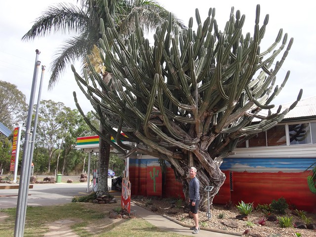
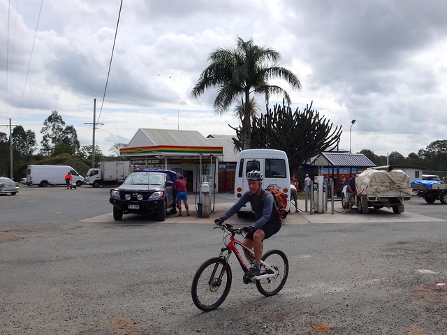
Goomboorian Cactus

Goomboorian


We started at the Goomboorian Petrol Station: half-way between Gympie and Rainbow Beach – famous for its huge cactus and delicious pies.
GoomboorianToolara State Forest


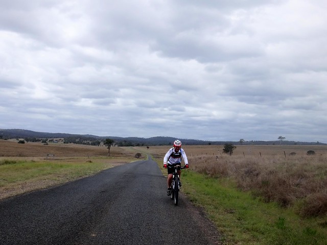
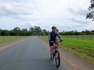
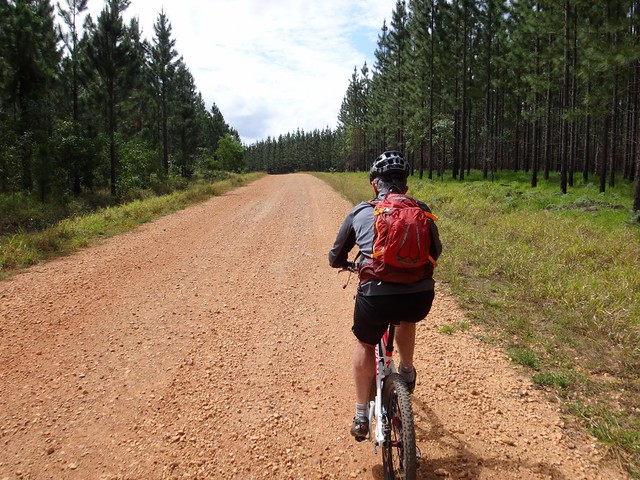
Heading eastwards we passed through lush green farmlands towards Toolara State Forest.

Toolara State Forest


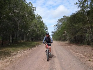
This vast pine plantation stretches endlessly eastwards, and is crisscrossed with a wonderful network of dirt tracks which can take the curious mountain biker on a wide variety of rides.

Pine Forest


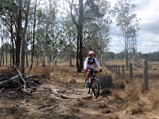
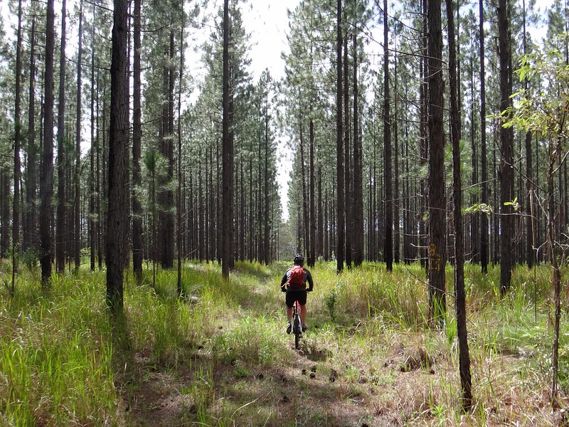
We occasionally left the dirt roads in search of quieter tracks through the trees.

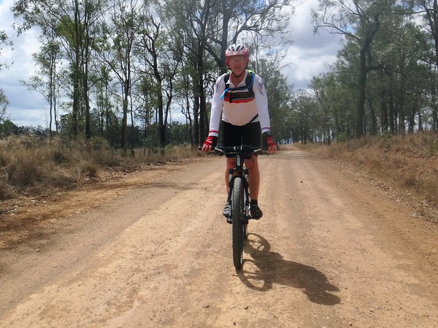
Forestry Road

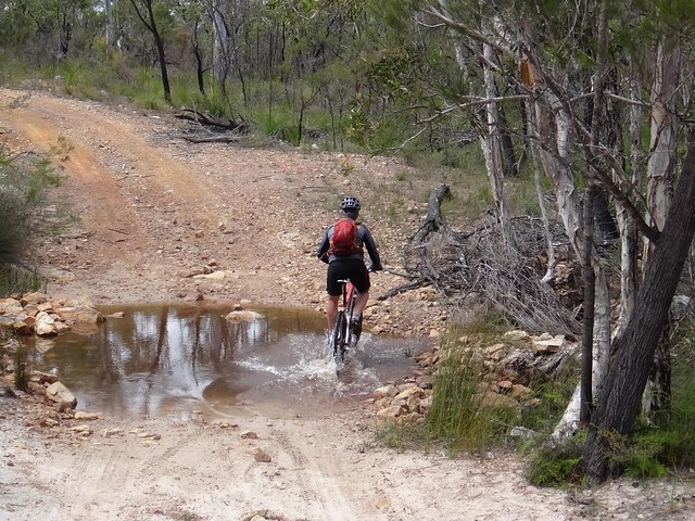
Creek Crossing


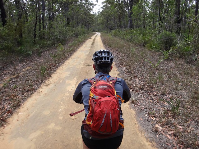
The State Forest borders the National Park, so we eventually left the plantations behind and headed into the rugged beauty of Cooloola. The wide swamps and tea-coloerd creeks around here drain into the Noosa River. It’s a special place.

Cooloola Cove


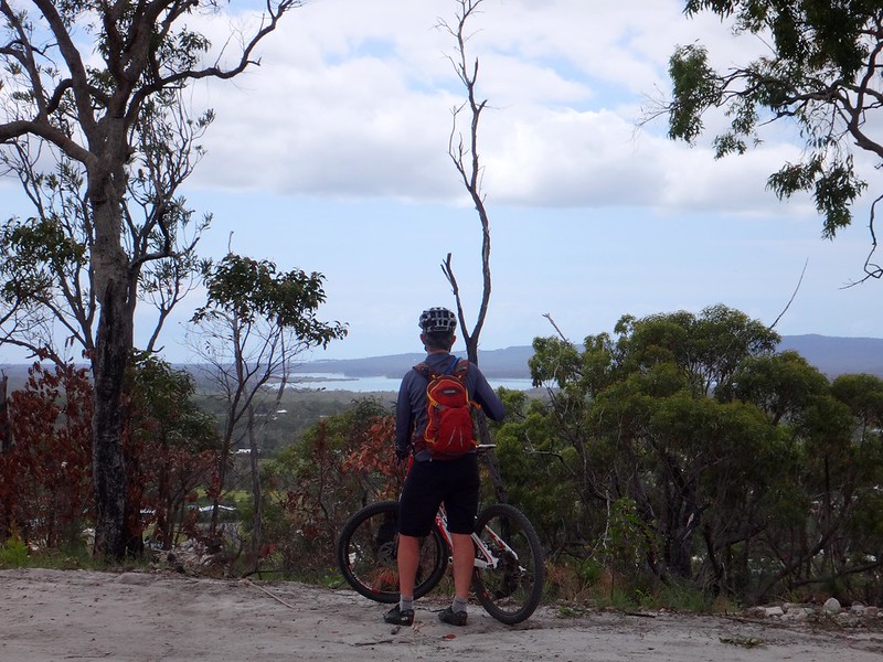
We rode north-east for a couple of hours and eventually reached Cooloola Cove – a small town overlooking Tin Can Bay.
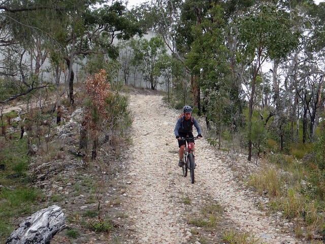

Cooloola Cove


After enjoying the view from the lookout we rolled into town for a bite to eat.
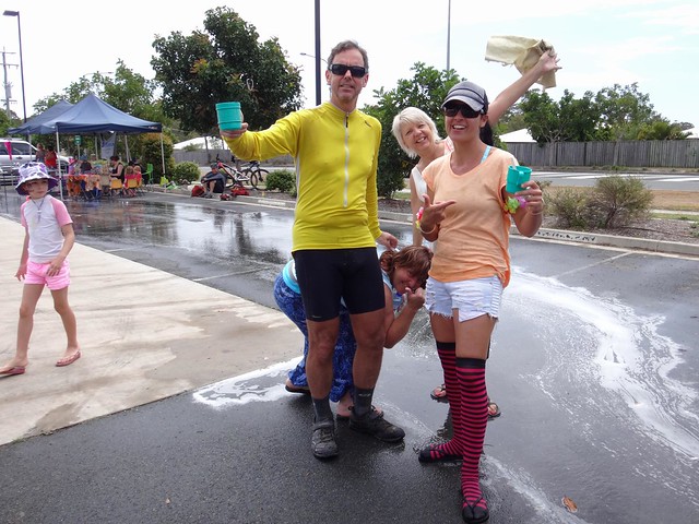

Tamara


The local Little Athletics club was holding a car wash and sausage sizzle. We explained to Tamara that we didn’t think it was a good idea to get our bikes washed, so we enjoyed their BBQ instead…
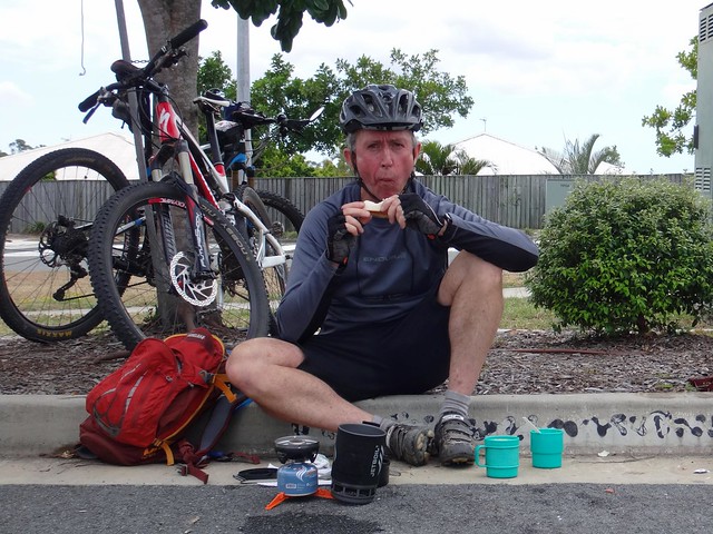

Eric


Eric wolfed down a couple of sausages. My BLT didn’t even touch the sides as I gobbled it down.


Jake


Jake showed off his new art-work. I suggested to Eric that he might like to get his face painted like a pussy-cat. He didn’t agree.
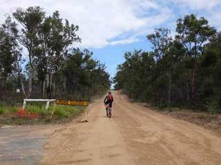
Powerline TrackCooloola Way


Rousing ourselves from our food-induced slumber, we bade goodbye to the friendly folks at Cooloola Cove and headed off down the “Cooloola Way”.
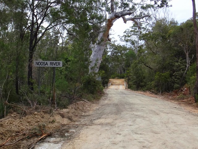
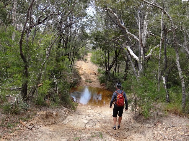
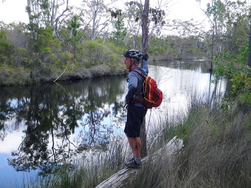
Noosa River

Noosa River


We crossed over the Noosa River on the way back. It is barely a trickle at the moment, but in times of heavy rainfall the raging torrent can do a lot of damage to the road…
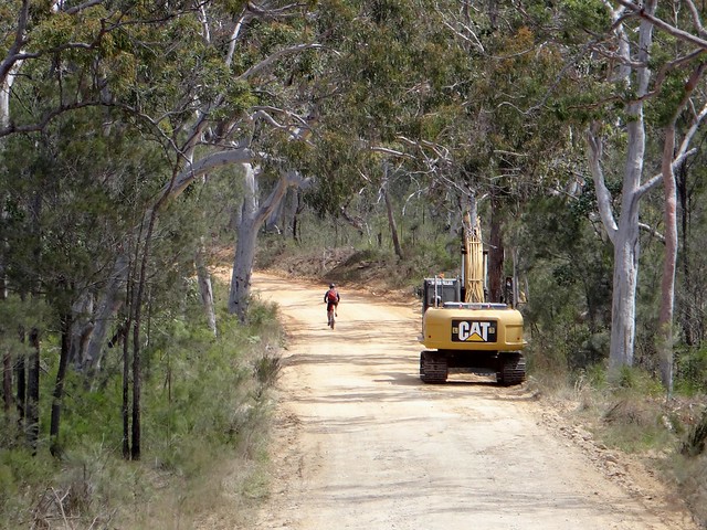

Cooloola Way


… which is currently closed to motor vehicles while the council repairs the damage.

Coondoo Creek Waterhole

Coondoo Creek Waterhole


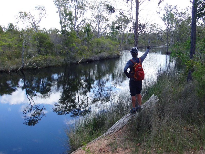
At the southern end of the Cooloola Way we followed Coondoo Creek for a while. The dark water of the water holes looked inviting – I think it might be an idea to come back here in summer for a swim!

Land Clearing


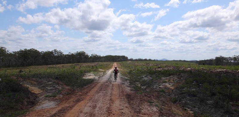
From there we rode back through bleak plains where timber had been recently harvested. I recited “The Lorax” (Dr Seuss) to myself as I lamented the contrast between the pristine forests in the national park and the lunar landscape left by land clearing.
Toolara State Forest

Toolara State Forest


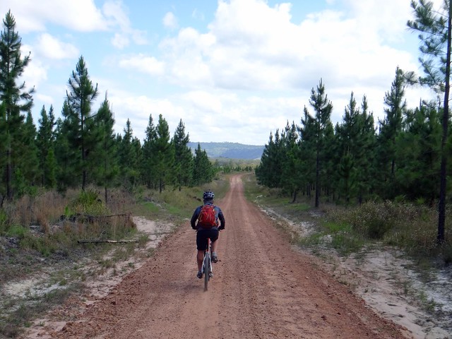
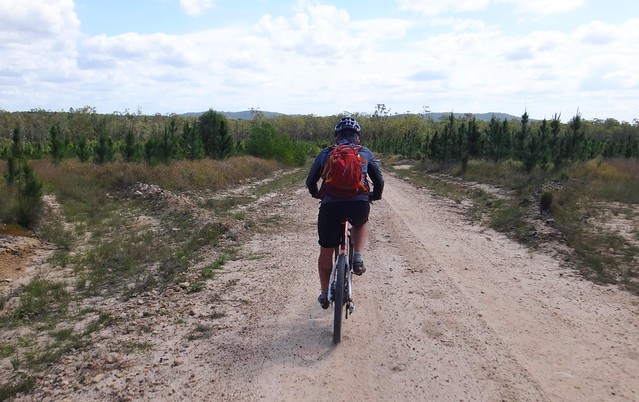
As we continued our way back through plantations in various stages of growth, my legs started to tire as I struggled to keep up with Eric.
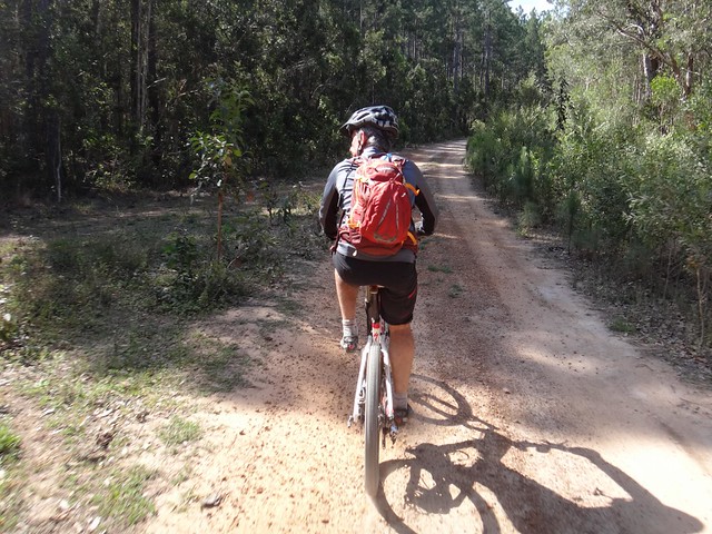

Toolara State Forest


We took a few detours back into the shade of the forest to try to escape the heat of the afternoon sun.


All up we rode almost 90km in just over 6 hours including breaks. We climbed about 870 metres in elevation, and I burned about 3,500 kcal.


I’ll rate this ride 8 out of 10 on the tough-o-meter. It’s mostly flat – there are no major climbs, but some sections are very remote. To complete the loop in a day you need to keep up a brisk pace – our average moving speed was almost 18 km/h which is really fast on a mountain bike. Take plenty of water – especially in summer.


Thanks Eric for yet another fun ride!


Thanks Tamara and the friendly folks from Cooloola Cove Little Athletics for a delicious lunch!
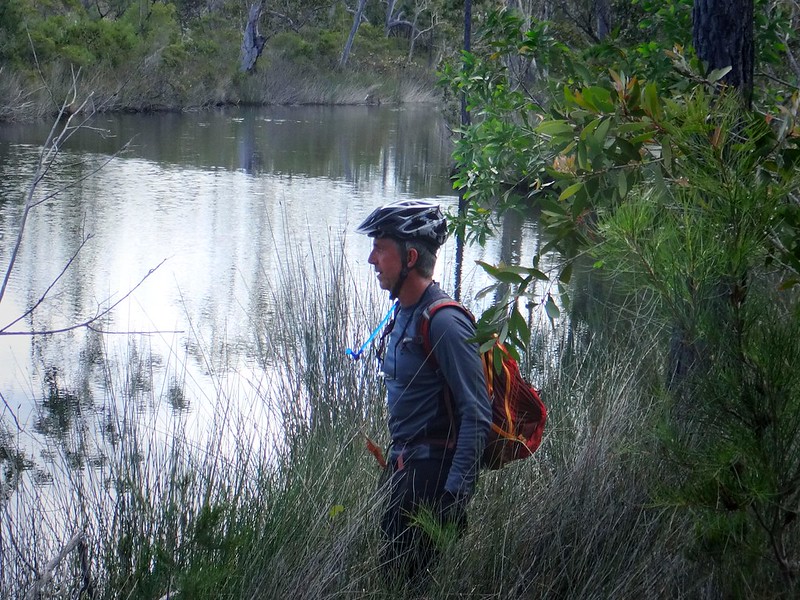

Coondoo Creek Waterhole


Sunday, October 05, 2014

Western Branch

Read More

Russel at Mount Stanley Road

Soaking up the splendour of the hills around the Western Branch of the Brisbane River today, I wondered whether I have had more than my fair share of good fortune.


Mount Stanley Road

I had a flimsy reason for coming back to Nanango. There was a 400 metre gap in my Ride Network Map which happened when we parked the car in the wrong spot during our fateful adventure among the Lantana a few weeks ago. When we failed to complete that loop it left a gap in my map, which I wanted to complete. Russel kindly agreed to indulge my obsession.


Mount Stanley Road

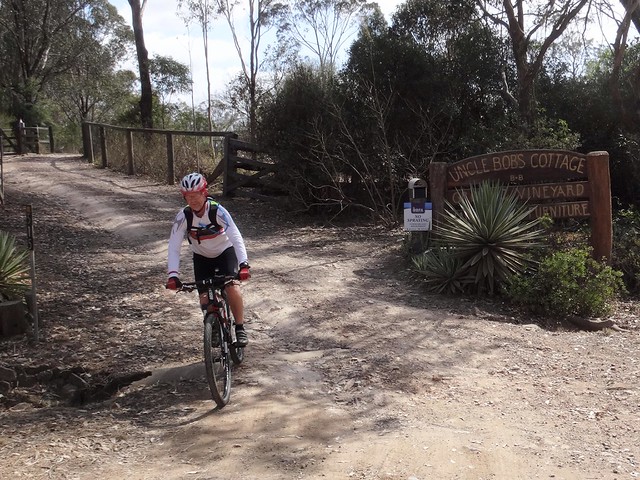
We parked the car at “Uncle Bobs Cottage” – a delightful B&B / Winery in East Nanango. I met the owners, Rod and Celia Price about a year or so ago when Eric and I stayed there prior to our ride from there to Jimna. They kindly agreed to let me park the car in their front yard for the day.


Mount Stanley Road


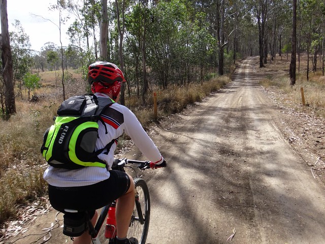
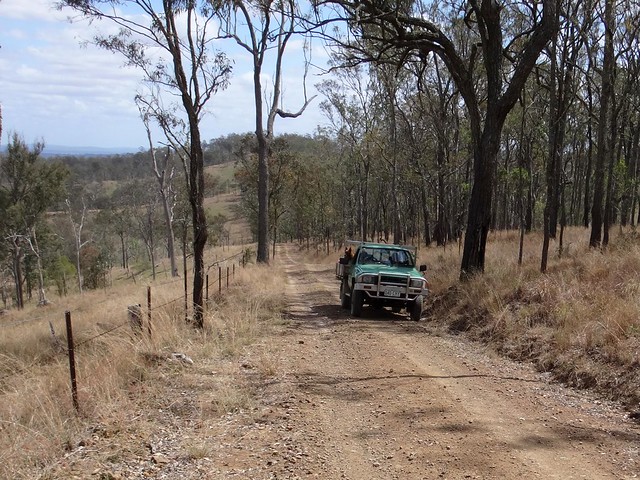
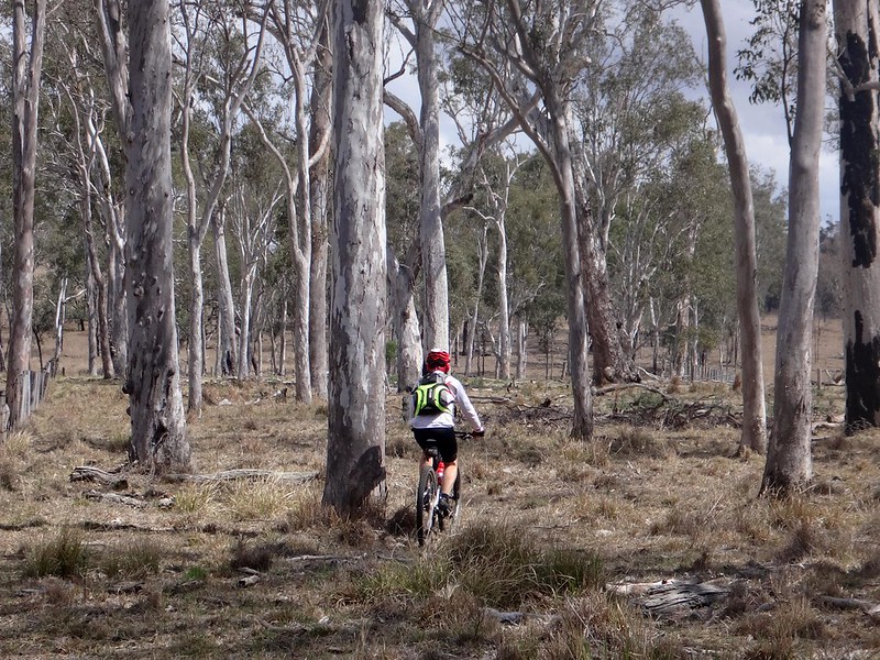
After bouncing along some bumpy forestry tracks for about an hour we encountered an old green ute grinding up the hill towards us.


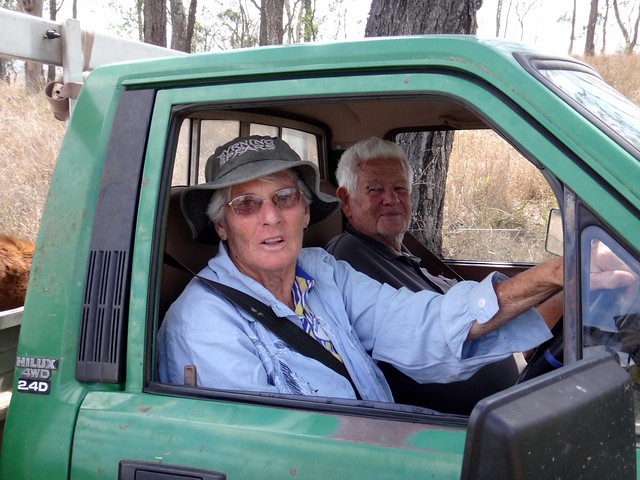
Ivy and Sam


“How ya goin?” I greeted Ivy and Sam as they pulled up.


“I hope you didn’t mind me taking your picture while I was riding towards you” I said.


“Ah, is THAT what you were doing!”, Ivy replied while Sam grinned at me from the passenger seat.


I must have been an amusing sight: a crazy bloke on a bike poking a camera in their face as they drove by.


“Have you got cattle up here?” I asked.


“Yes”, replied Ivy in her warm rural Queensland drawl, “we’ve come here to check up on our cattle, poor things.”


Rain has been scarce around here for months. The grass is dry, dams are empty, cattle are hungry, and good farmers like Ivy and Sam are worried about their livestock.


Mount Stanley Road


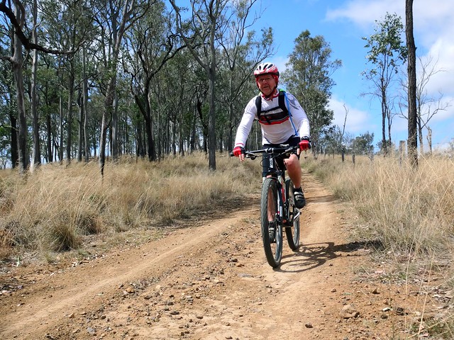
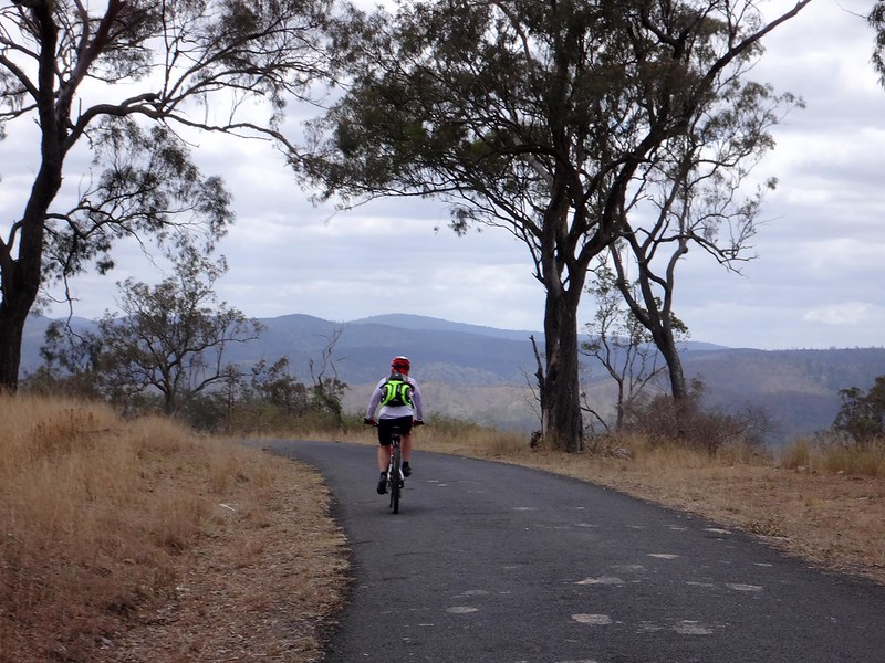
After a few more pleasantries, Russel and I left our new friends and let our bikes shoot down the steep dirt hills of Mount Stanley Road.


Mount Stanley Road


As it drops to the valley, this road becomes very steep.


Mount Stanley Road


The rolling hills of the Conondale Range to the east caught my eye, but the bike was rolling so quickly down the slope that I had to concentrate on the road in front of me.


Western Branch


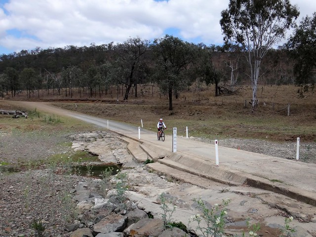
The river at the bottom is dry.


Western Branch


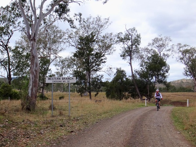
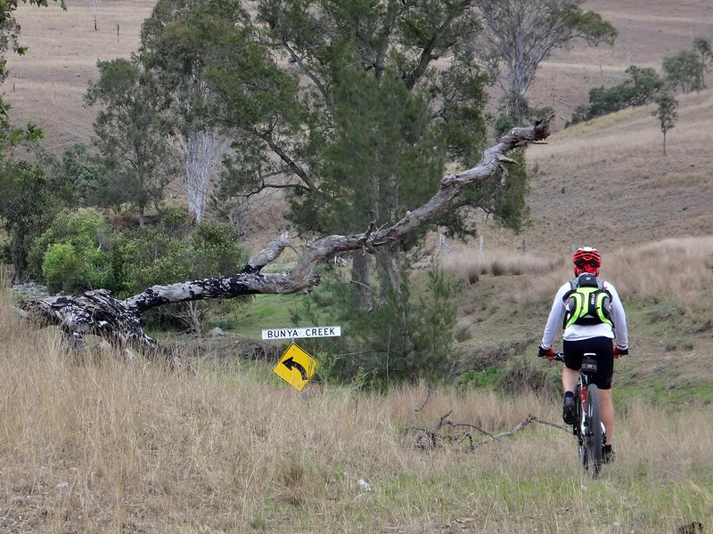
We bobbed up and down over numerous crossings of the “Western Branch” of the Brisbane River. The last one was Crossing No. 37. We were a long way from Fisherman Islands at the mouth of this river, a couple of hundred kilometres to the south-east.


DSC07215_copy


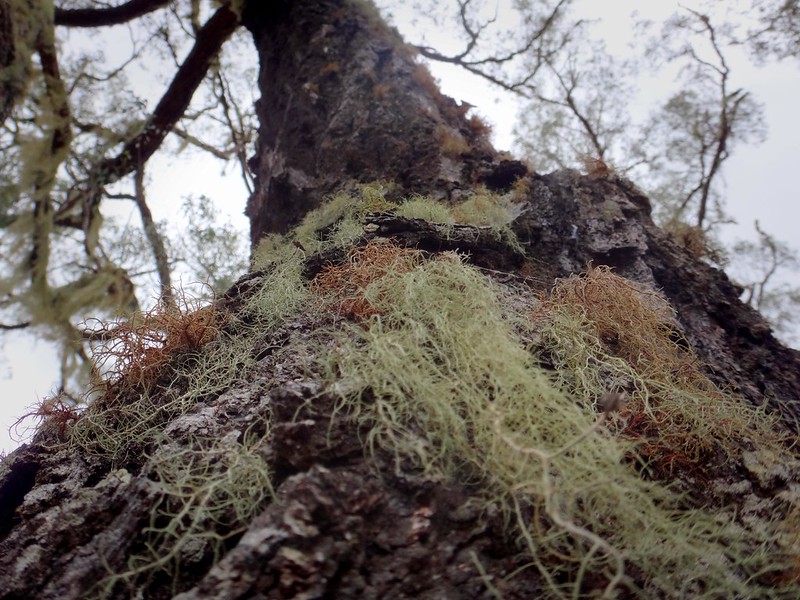
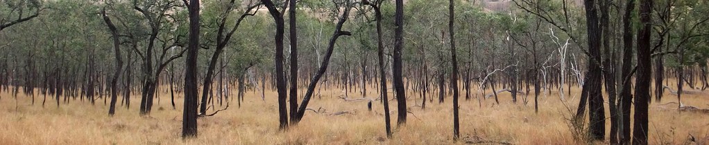
We stopped for a quick break under a moss-covered Ironbark. Most of the old trees here are festooned with the khaki colored moss. Russel and I surmised that they only way the moss could survive would be from the moisture in early morning mist. There certainly wasn’t enough rainfall to water them.


The wizened old black trunks of Ironbarks poking out of dry grass reminded me of a Jackson Pollock painting. Perhaps if he had visited Western Branch, Pollock might have painted “Brown Poles” instead?


Before reaching the end of Western Branch Road, I noticed some tyre tracks leading off to the east. I’ve got a feeling if we followed these we might end up somewhere in Elgin Vale State Forest. What do you think, Eric? How about we follow this road some time, and see where we end up?


Intersection


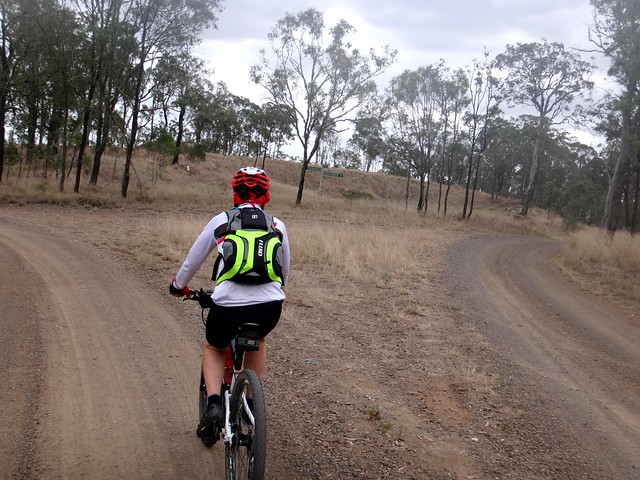
Eventually we reached a dusty intersection in the middle of nowhere. Our GPS told us to turn left :)


Manumbar Road

Manumbar Road


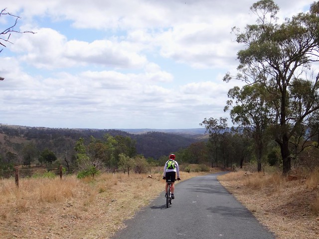
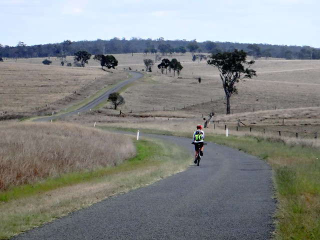
The wide plains along Manumbar Road are good for the soul. As I gazed at distant horizons under cool fluffy clouds, I grinned and realized I didn’t want to be anywhere else. Riding here was just fine.


We stopped for another quick break under a shady tree. The short stint along Manumbar Road had boosted our pace: we were well ahead of our schedule.


Walshes Rd


From there we followed Walshes Road southwards towards our starting point.


Grindstone Stock Route


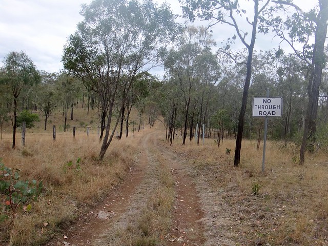
The only problem was that the road ran out. As sometimes happens, the map said there was a road, but when we arrived we found a rough stock route instead.


Grindstone Stock Route


So we dodged the trees, ditches and logs as we followed a couple of faint tyre tracks home – perfect!


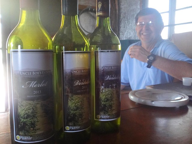
Uncle Bobs Estate


When we got back, our friend Rod asked if we’d like to sample some of his wine.


We didn’t need much convincing.


Uncle Bobs Estate makes organically grown preservative-free (and low-preservative) wines. We got to sample some Verdelho, Merlot and Cabernet. They were delicious. My only complaint was that I couldn’t sample more than a couple of mouthfuls because I had to drive home. Perhaps next time we should stay at the B&B here?


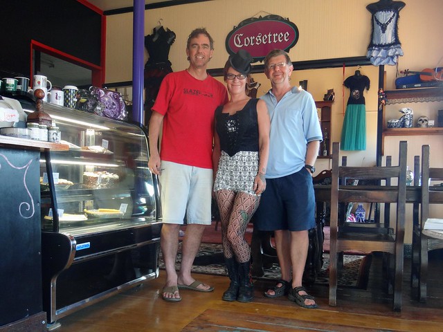
Vagabonds Cafe and Corsetree


As a perfect epicurean end to a great day, we stopped at Vagabonds Cafe and Corsetree in Moore.


Laine, sells the best coffee, cakes and corsets for a hundred miles. What a delightful idea for a shop!


As I wolfed down a divine apple pie with cream and a coffee, I asked Laine, “Do you make them?”


“No, I make them happen!” she replied.


The next time we pass through Moore, I’m definitely stopping here!


We rode 68km in just over 5 hours, including breaks.


I burned about 2,500 kcal and we climbed about 1,200m in vertical ascent.


I’ll rate this one 7 out of 10 on the tough-o-meter. It would be more difficult in hot weather and spectacular after rain.


Thanks, Russel, for a great day out.


Western Branch