

Have you ever looked at a road and wondered where you’d end up if you followed it to the very end? Today’s ride south of Mulgowie tried to answer that question.
We started the day at the Mulga Pub, south of Laidley.
We planned to ride south along Mulgowie Road as far as we could, following Laidley Creek, until the road hit the Mistake Mountains – a spur of mountains which juts out from the Great Dividing Range.

The wet weather restricted where we could go – most trails were too muddy to ride. But in the true mountain biking spirit, we decided a bit of rain on a paved road was far better than sitting snugly at home in front of the TV.
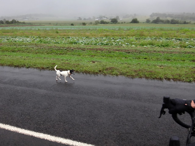
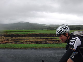

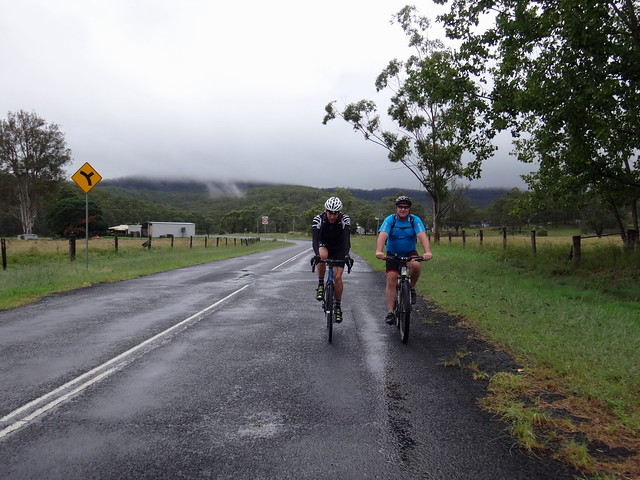
We pedalled down Mulgowie Road past green soggy fields, and friendly dogs; our tyres splashing through the puddles on the road.
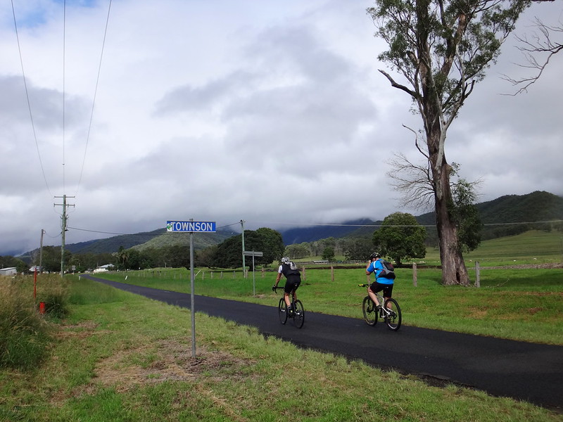
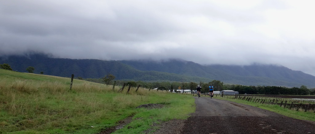
Mountains grew taller on either side of the road as we reached Townson, at the end of the valley.
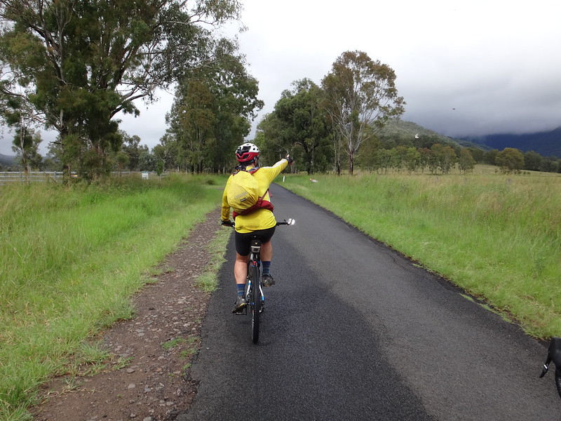
“The Winder is at the top of that mountain”, I enthusiastically blurted out, pointing to a peak that was looming closer.


I told Simon and Warrent that “The Winder” was an old tractor engine, that was converted into winch to haul logs. It sits rusting on top of the Mistake Range. We visited it a couple of years ago on one of our adventures in Goomburra National Park.
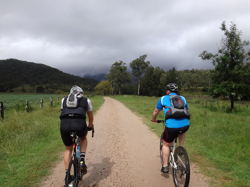
Mulgowie Road soon turned into a gravel track. We followed it through a gate until it devolved into someone’s driveway.
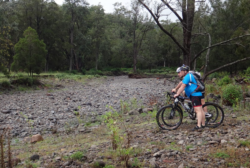
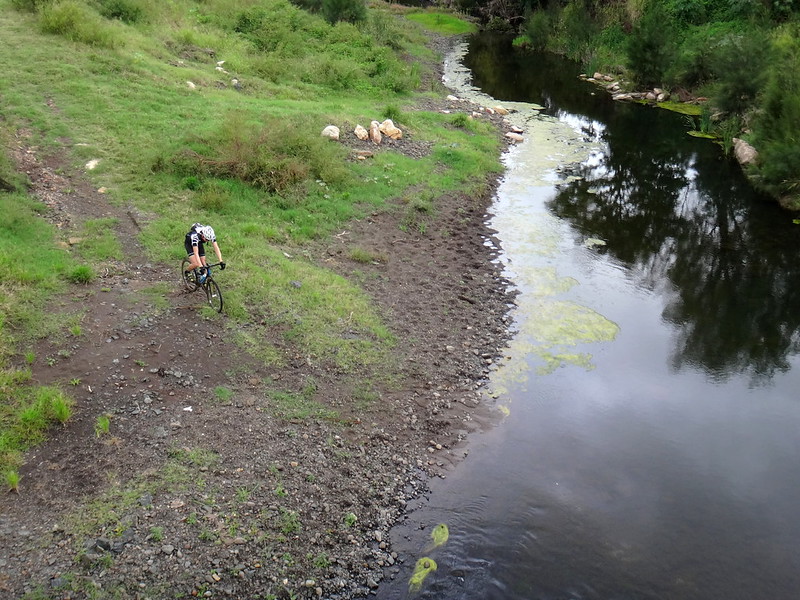
Not wanting to arrive unexpected on someones front doorstep, we ended the southward leg of our journey on the rocky banks of Laidley Creek. Despite all the rain the creek was strangely dry.
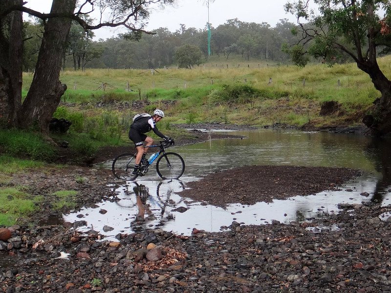
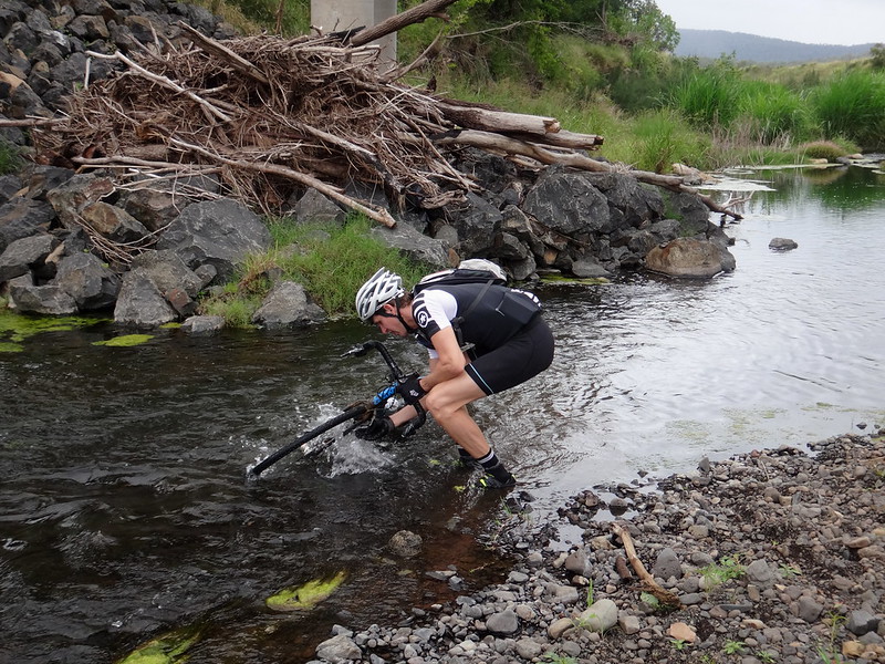
As we followed the creek north we found a few rocky pools wtih rope swings. Warren impresed us on his cyclocross bike, taking it places we didn’t think he was able to ride.

Despite its narrower tyres, it handled well on mud…
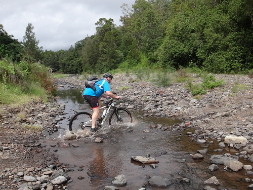

… and through the creeks, while we followed behind, impressed.
On our way back we took a detour towards Mount Zahel. Enshrouded in clouds, this peak overlooks Laidley Gap – a rugged mountain pass on the Bicentennial National Trail. I thought it might be worth checking it out before returning to Mulgowie.
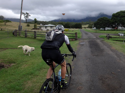

We seemed to be attracting more than our fair share of friendly canines today, as this gentle Labrador decided to follow us for a while.
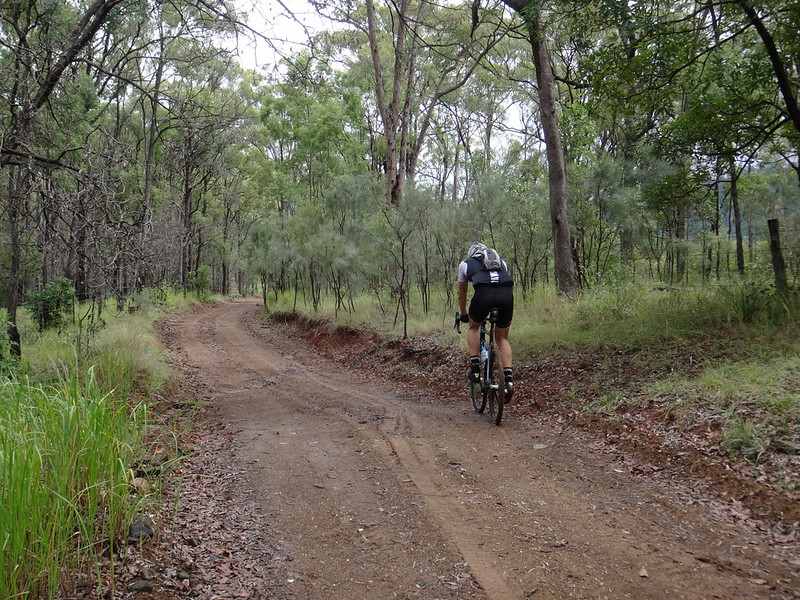
The road up to Laidley Gap was very muddy. Our tyres slipped and clogged in the mud as we struggled up the road.
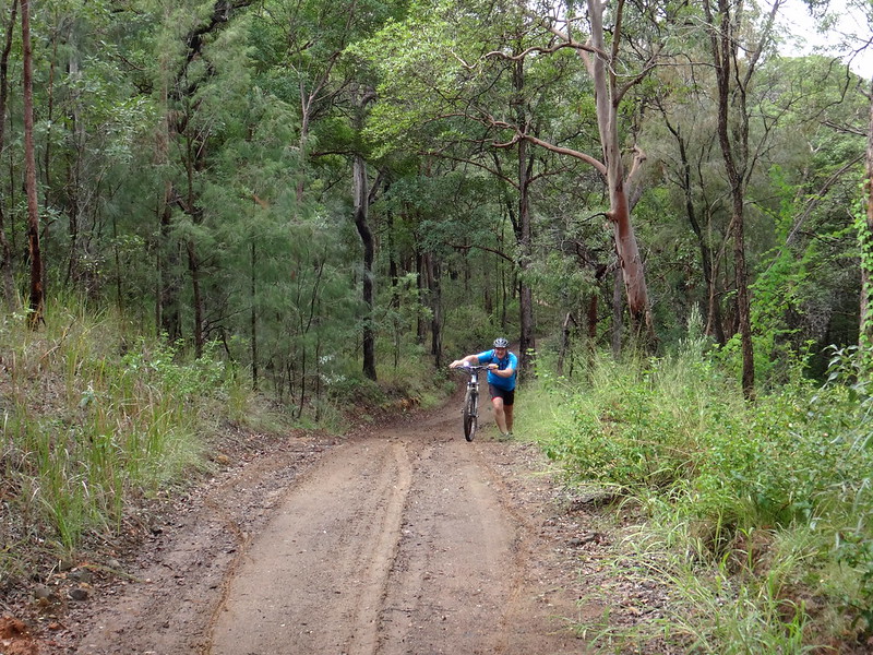
Eventually we had to push.

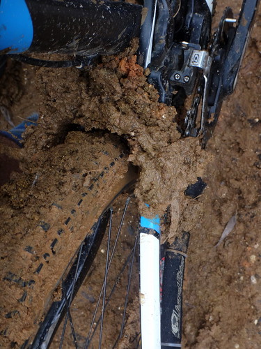
We decided to stop at the gate. The bikes were too clogged with mud.
Although the unfriendly signs deceptively suggest you can’t go any further, the Bicentennial National Trail continues past the gate. There’s another small unlocked gate to the side which lets you pass through and continue further up the hill.
The views at the top are spectacular. It’s well worth the trip in drier weather. Here’s what it looked like on one of our previous rides a couple of years ago.

The roll back down the muddy hill was tricky. Mud flew off our tyres into our faces as we slipped back down the track.

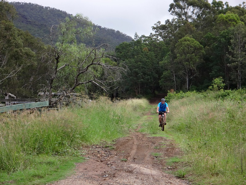
At the end of the descent we rolled into the small town of Thornton near the local school.
We followed some quiet rural lanes northwards.

The bikes were covered in mud from our foray up the hill, and we were looking for a creek in which we could wash them off.
Eventually we crossed a bridge over Laidley Creek and ventured down to the waters edge to wash the bikes.
The bikes shed what felt like a couple of kilograms of mud as we splashed them in the creek.
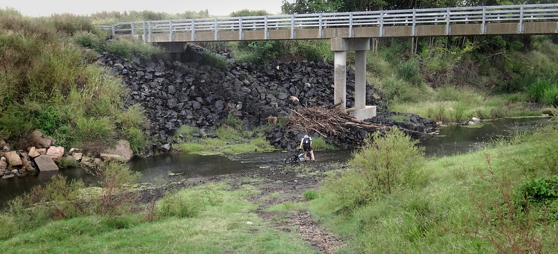
Debris on the banks suggested the water had been much higher recently.
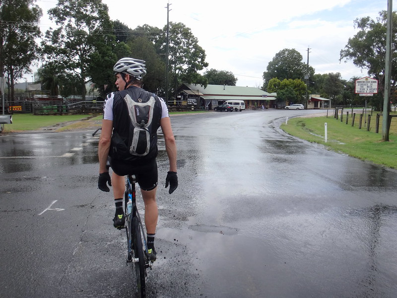
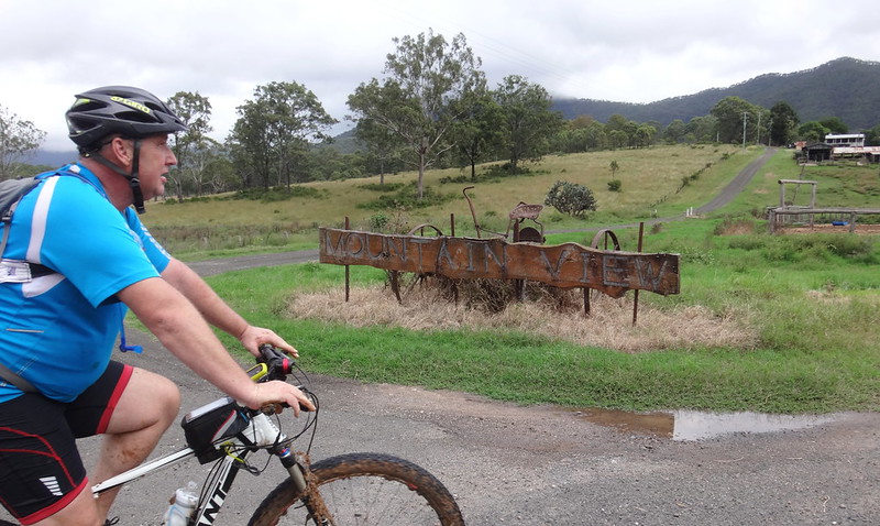
Slightly wet, but on nice clean bikes, we rolled back into Mulgowie around lunch time.
Unfortunately the pub was closed due to the Easter holiday, so we drove back into Laidley for a bite to eat.
We rode almost 57km in just under 4 hours including breaks. I burned about 2,200 kcal as we climbed about 600 metres in vertical ascent.
Apart from the mud, and the discomfort of heavy rain at times, this was an easy, pleasant ride. I’ll rate it 5.5 out of 10 on the tough-o-meter.
Thanks Warren and Simon for a fun wet-weather ride!


No comments:
Post a Comment