
My friends and I spend a lot of time looking at maps. When we saw a remote place up in the hills behind Mt Sylvia called “Pardise” our curiosity got the better of us – we felt compelled to visit.
This was a challenging adventure to plan because some of our intended route crossed several private properties. It took a while to make contact with the land owners and arrange permission for us to pass through. After they all kindly said “yes” we were eager to proceed.

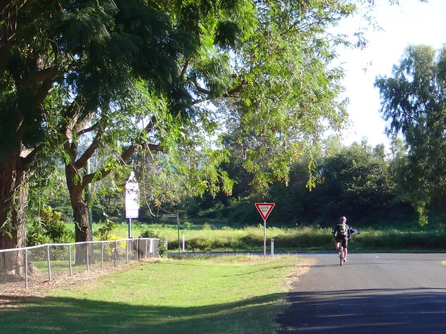
We’ve had many fun adventures which have either started or ended at Mount Sylvia.
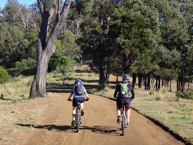
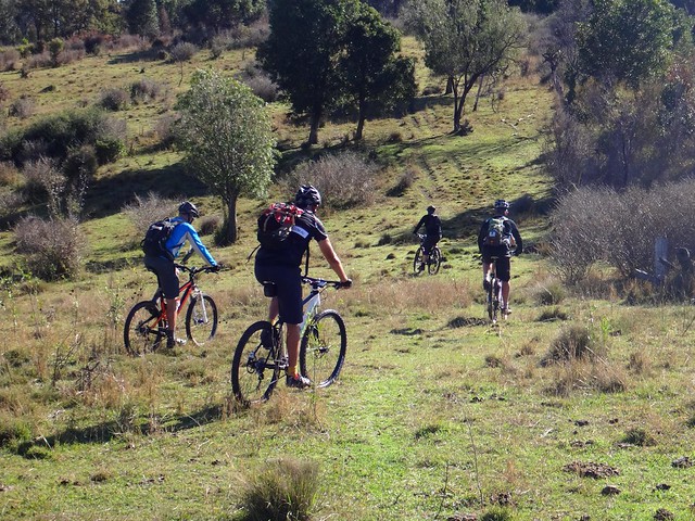
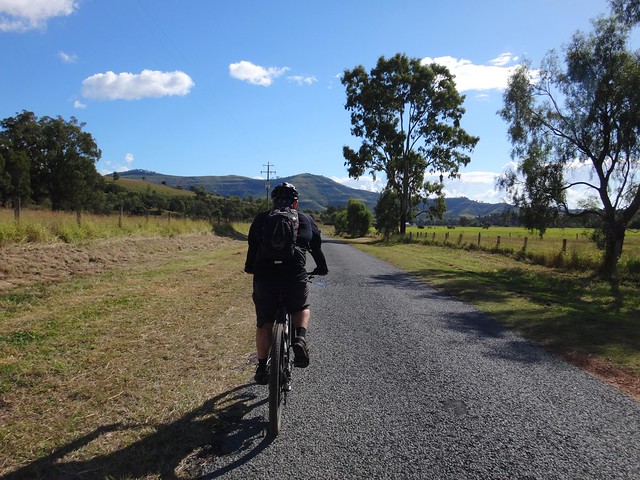
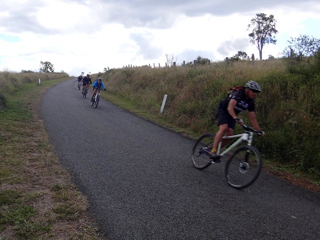
On this mild winter’s morning we rolled out of town and slowly made our way up Paradise Road.
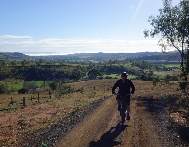
As we worked our way up the steep climb, the lower Tenthill Valley stretched out behind us – a patchwork of fertile farms, trees and hills with puffs of fog still clinging tenaciously to some of the hollows.
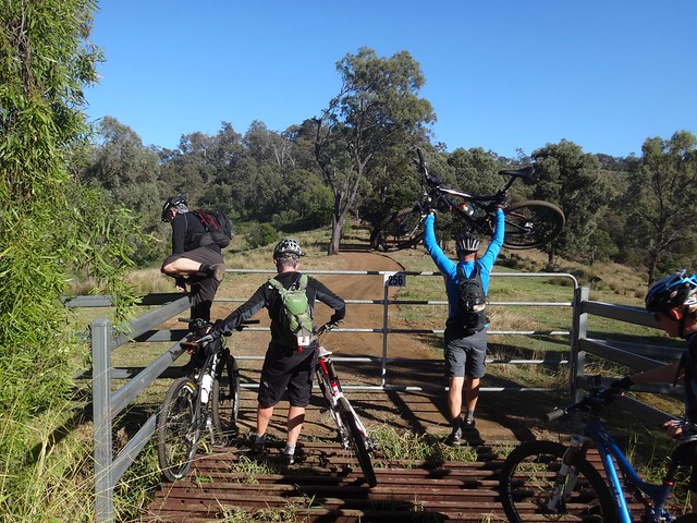
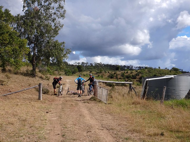
We eventually reached the locked gate, grateful for generous permission we had received from the local land owners. On our rides, every farmer we’ve met loves their land. They’re proud of it and take seriously their responsibility to care for it.
Whenever we’ve asked if it’s ok to pass through on our bikes, they almost always say “yes” when they realize we’re here because we appreciate the land too.
Past the gate, the road continued to climb as the valley dropped away below us.
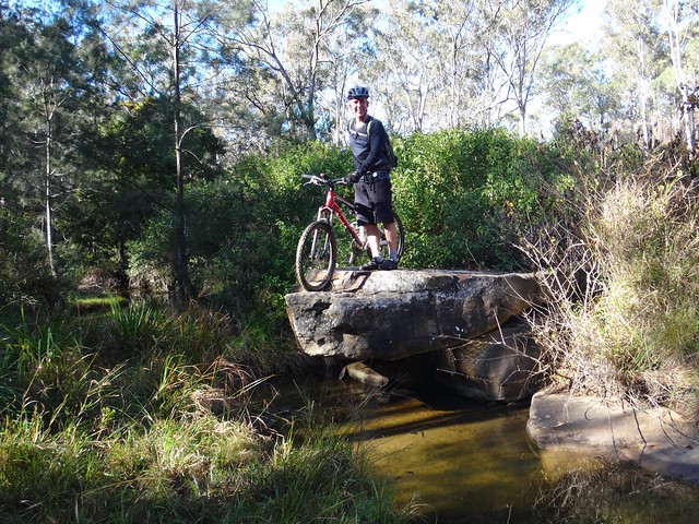
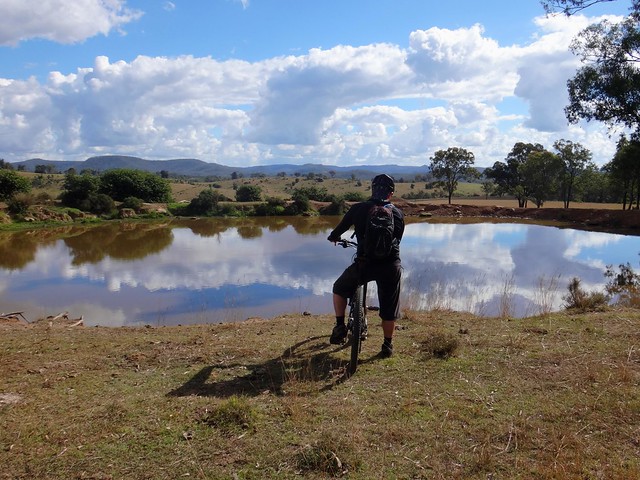
After a quick descent, we crossed Paradise Creek. Eric couldn’t resist perching atop a nearby rock.
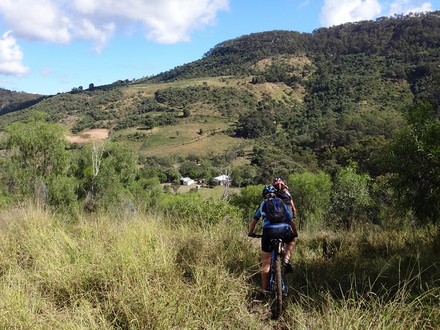
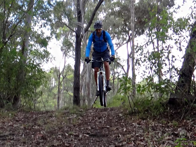
As we climbed out of the creek and up onto the Plateu, our path faded into a pair of faint tyre tracks in the grass. Althought it was difficult to see where we were supposed to go, our GPS kept us pointed in the right direction.
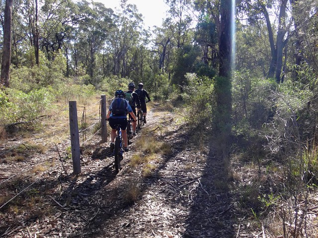
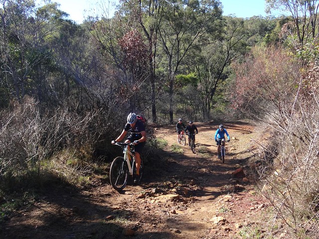
We followed the fence north along a rocky ridge – slopes dropping off left and right.
A clear path had been worn by cattle, but it was rocky and difficult to ride in places.
“This is mountain biking”, Eric declared.
“This isn’t boring”, I thought happily to myself.
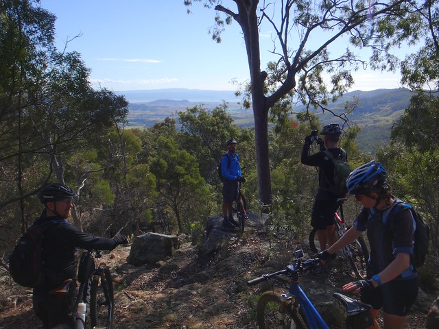
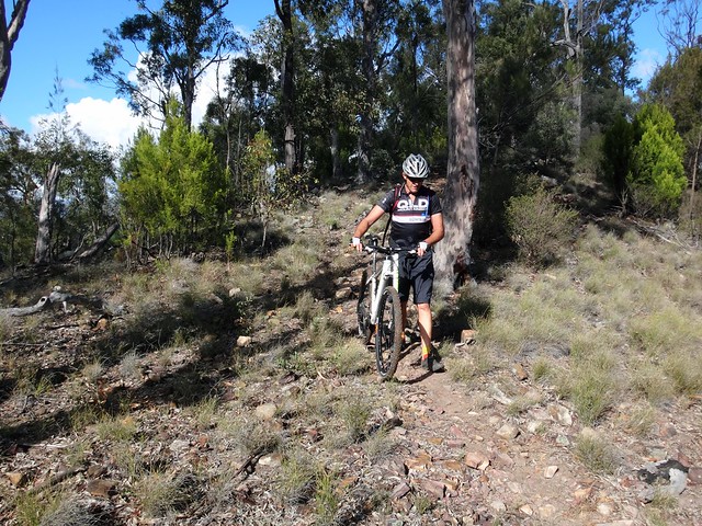
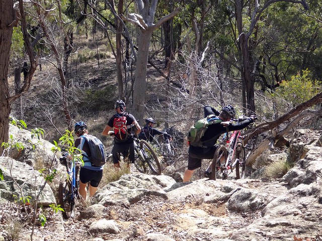
We took a quick break to admire the beautiful views through the trees and get ready for the tricky descent.
The track was overgrown with logs and rocks hidden in the thick grass. We took it slowly, and were relieved when everyone got down in one piece with no mishaps.
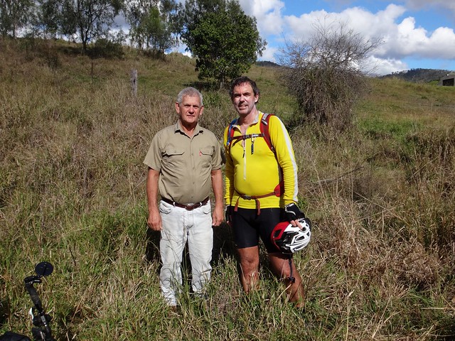
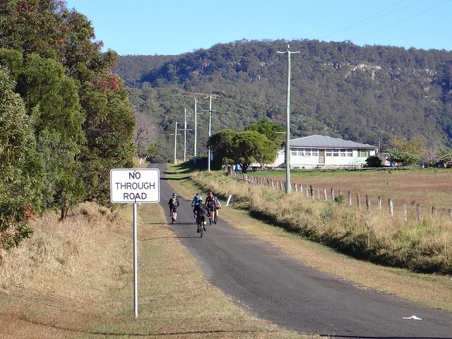
Merv was waiting for us at the bottom of the hill. The track passed right by his back door. I was grateful for the precise advice he had given me over the phone, which ensured we made it safely down the hill.
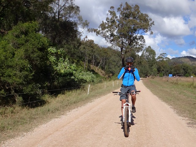
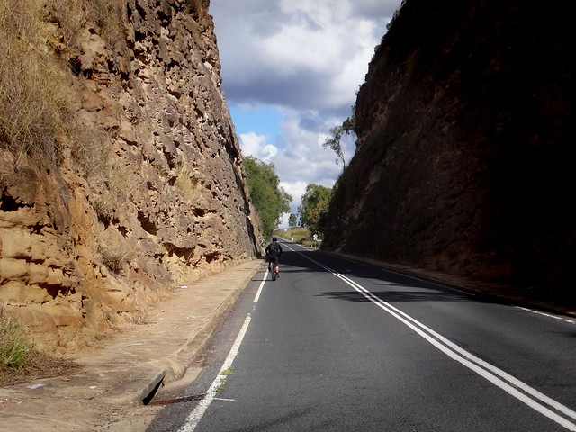
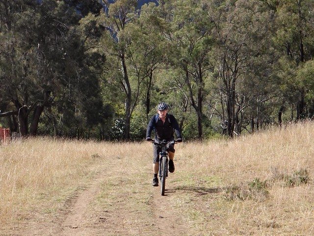
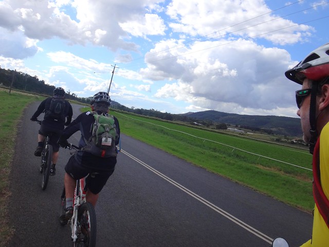
After the rough terrain we enjoyed the relaxing pace of the smooth, quiet road as we rolled out of Mount Whitestone.
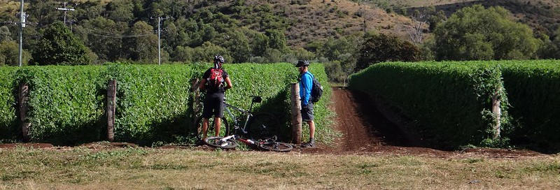
A field of tomatoes caught Paul and Tony’s attention.
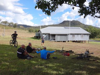
We were able to increase our pace as we rode south along the tarmac on Gatton-Clifton Road towards our lunch stop at Ma Ma Creek. With its water tank and shady trees, this strange-looking galvanized iron community hall was a perfect place to stop.
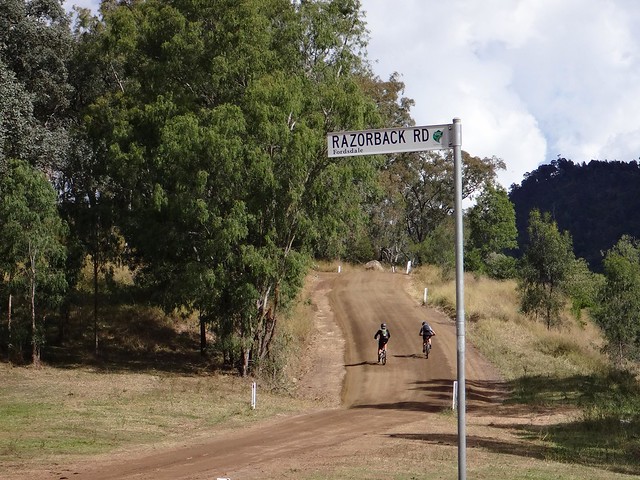
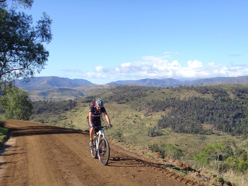
Eventually we reached the turn-off to Razorback Road. This 5km climb will be familiar to anyone who rode the original “Epic” mountain bike race from Preston Peak to Grandchester. It’s also part of the famous Bicentennial National Trail.
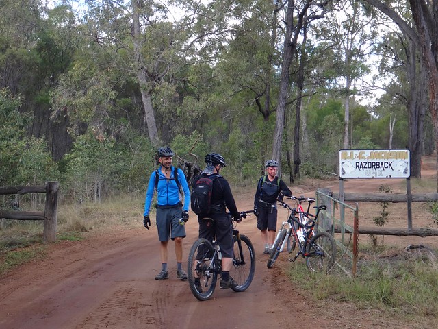
The track winds up the hill through Razorback Station, owned by the Jackson family.
Although it’s a challenging climb, the surrounding property is very pretty.
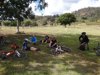
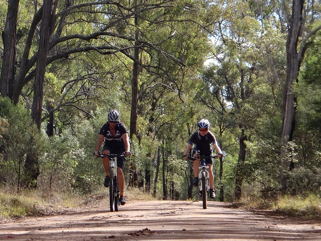
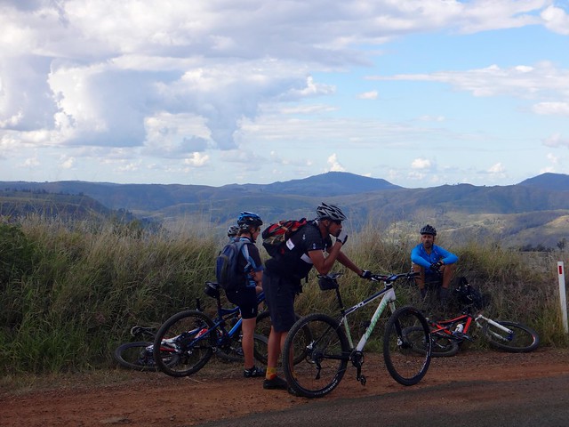
Slowly we pushed up the hill, stopping regularly to keep everyone together.
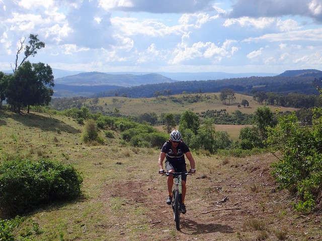
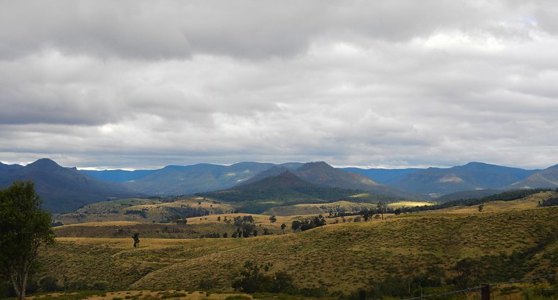
The views got better as we climbed higher.
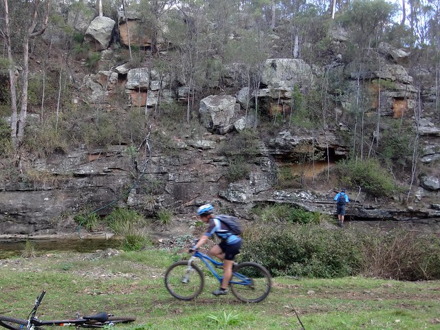
Eventually we reached the top, and enjoyed a fast downhill run, jumping waterbars, dodging rocks, and skiddig around bends as we rolled down to the cliffs at Lagoon Creek.
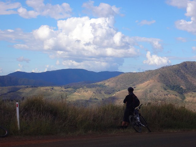
At the top of West Haldon Road we stopped for one final break to enjoy the view. The next 6 kilometres would be a scorching descent down to the Tenthill Valley dropping almost 500 metres.
I stood by the side of the road watching my friends race down from my left, while a car drove up the hill to my right. Neither of them could see each other. I waved franticly to both, and they safely passed each other. Although I think the car driver was a bit annoyed to be waved down by a crazy looking cyclist by the side of the road.
On the final stretch, I tucked in behind Eric and Darb as we effortlessly enjoyed the final 8km gentle descent into Mount Sylvia.
We rode a total of almost 50km, with about 1,200m of climbing. I burned about 2,500 kcal.
With two big climbs and some rough, remote terrain, this ride rates 8 out of 10 on the tough-o-meter.
As portions of this route pass through private property, it must not be attempted without first obtaining permission of the relevant property owners.
Thanks Eric, Darb, Becca, Paul and Tony for another memorable ride.
Thanks to John R, Peter H, and Merv S for generously letting us ride though your beautiful properties.


No comments:
Post a Comment