Please note: you can find a more up to date version of this blog at http://blog.neilennis.com

Sunday, April 20, 2014

Day 1 – Lawnton to Maleny

Read More

McCarthys Shute Road

I love the idea of setting forth from my front door on a multi-day trip. How far will I get? Where will I end up? Who will I meet? What will I see?


While it’s not in the same league as those epic adventures that last for weeks at a time, I thought a micro-adventure would be a fun way to test myself out, and to explore the amazing country near my home.


Ride-offRiding North

Rather than set the alarm early, I just got out of bed when I woke up, got ready, and left home when I was ready.


I intended to take it easy and enjoy the ride.
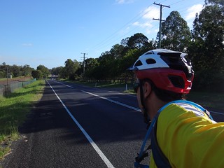

Riding NorthRiding North

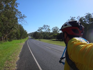
I followed paved roads northwards for the first hour or so as I headed towards Caboolture. The route was almost in a straight line and followed the historic “Old Gympie Road” – a track used by miners during the 1850′s and 1860′s to get from Brisbane to the gold fields near Gympie. Prior to that it was an aboriginal pathway used by tribes as a quick and relatively easy way to get from Brisbane to the Blackall Range.


Although it’s a busy road today, I felt a connection with travellers from many different centuries who had travelled this way for one reason or another.
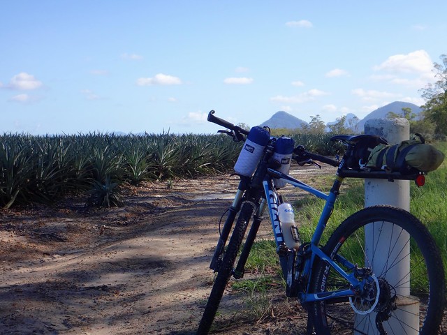
Pineapple Field

Old Gympie Rd


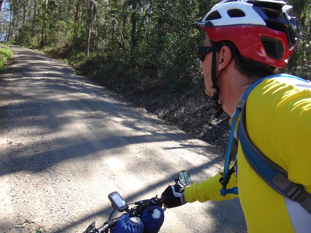
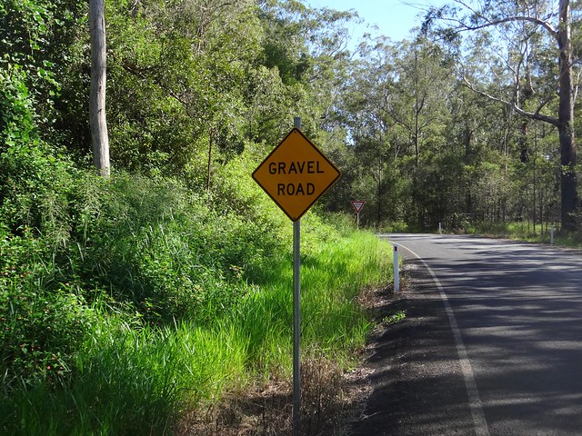
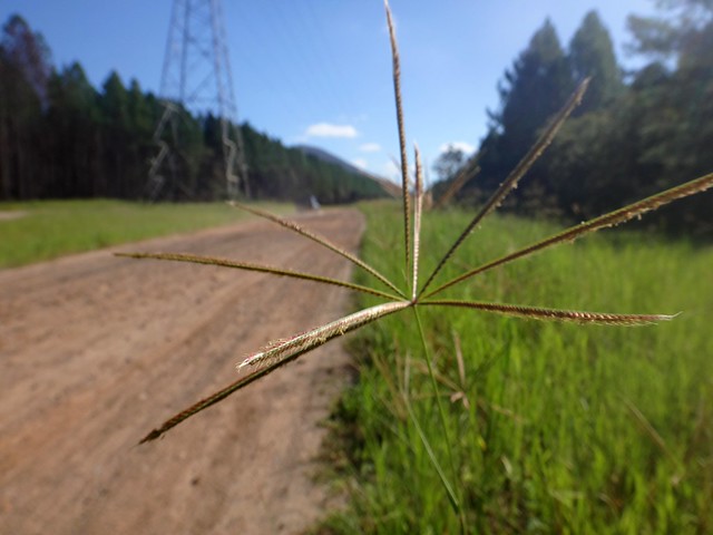
Eventually the paved roads gave way to gravel as I passed pineapple farms to the south of the Glasshouse Mountains.
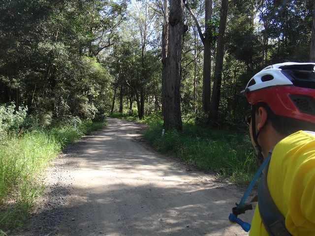

Old Gympie Rd

As a mountain biker I tolerate roads, and feel a sense of relief and elation when the tarmac ends, and “the bush” begins.

Old Gympie Rd

There are trails heading off in all directions through the Glasshouse Mountains. I love the sense of freedom that comes from realizing you can go wherever you want, in whatever direction you want.
Moto-X

Moto-X


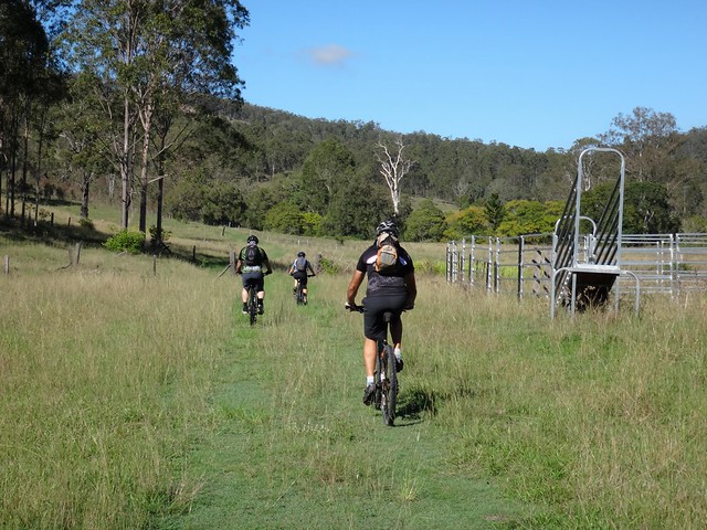
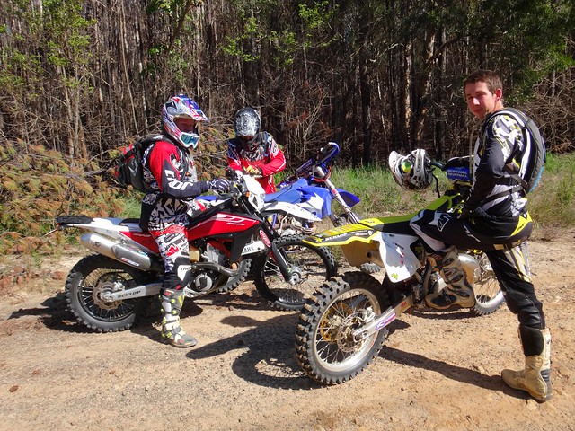
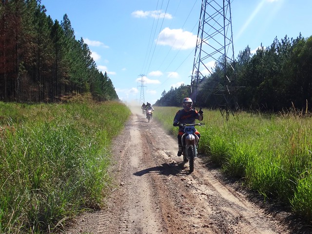
Trail bike riders love it too. I’m usually glad to meet them on the trails. It’s handy to know that if you ever get into trouble in this part of the world, someone on a motorcycle will be close by to help out.


They’re all very friendly, although I think these guys thought I was a bit mad when I told them where I was from, and where I was headed.


I was glad to come across them as it gave me a chance to stop taking “selfies” and photograph other people for a change :)


Old Gympe Rd

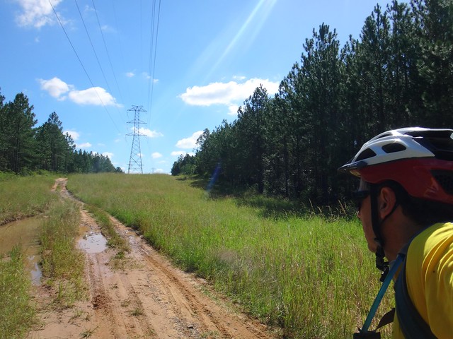
It might have looked muddy and rough – but this was still “Old Gympie Road”, and I was still heading northwards in a straight line.

Glasshouse Lookout

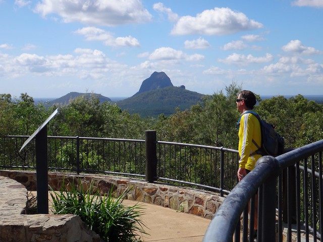
When I arrived at the turn-off to the lookout, I decided to break my northward monotony and turn left for a while. The views at the top are always worth the climb. Today they didn’t disappoint.
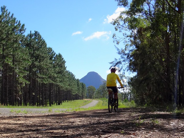
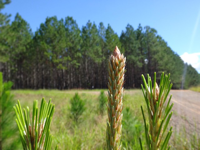
Pine Plantation Forest

Pine Plantation Forest


From there I pointed my front wheel northwards once more and rode towards majestic Mount Beerwah.
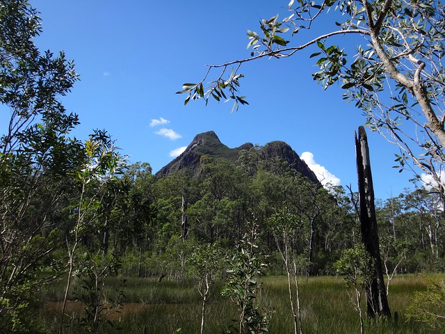

Mount Beerwah

“Hello Mother” I yelled out insanely as I rode past. You do crazy things when you’re on your own – that’s all part of the fun of a solo ride.


I love Mount Beerwah because of the Kabi / Gubbi-Gubbi legends of her as an expectant mother taking eons to bring forth her child, and I like to think she keeps a watchful eye on me as I pass through.


She looked gorgeous today and I told her so.
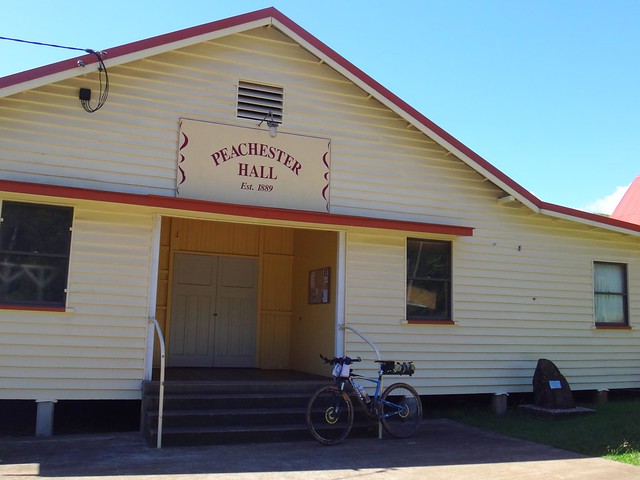

Peachester

It wasn’t long before I arrived in Peachester for a quick lunch and top-up with water.


I was three-quarters of the way through today’s ride, but the hard work was yet to begin.
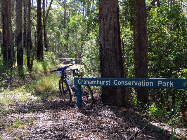

Crohamhurst Forest

Crohamhurst Forest


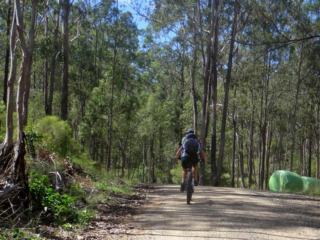
Crohamhurst State Forest covers the rolling hills north of Peachester. I rode up and down several large hills as I made my way to the base of the Blackall Range.
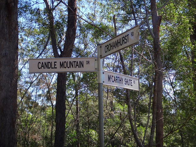
Three-ways

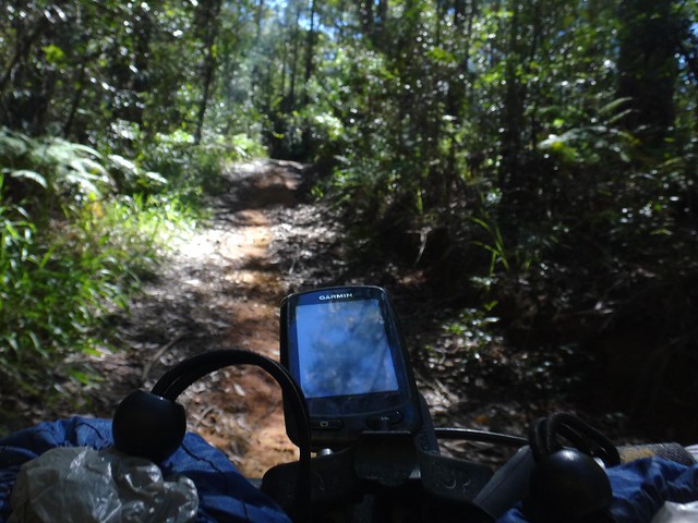
McCarthy Shute Rd


I had ridden down McCarthy Shute Road before, with Eric and Becca
. It was a fast and exhillarating descent. But today I was going to ride UP it. My progress would be much slower.
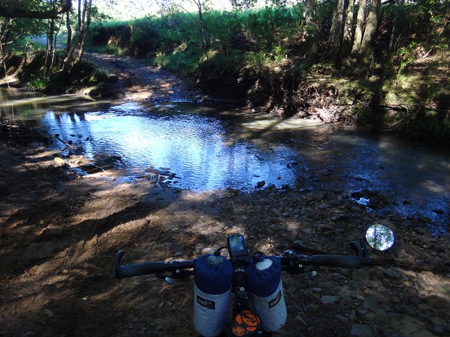
McCarthy Shute Rd

McCarthy Shute Rd


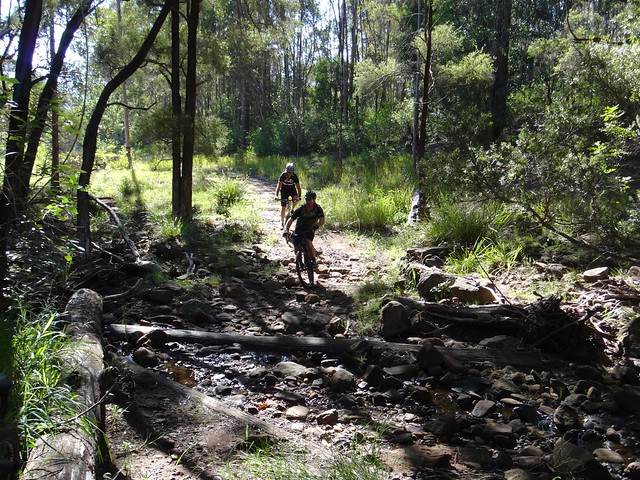
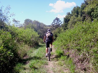
A creek crossing marked the start of the climb. I just dropped down into “Granny Gear”, spun the pedals and enjoyed the view while I gasped for air.
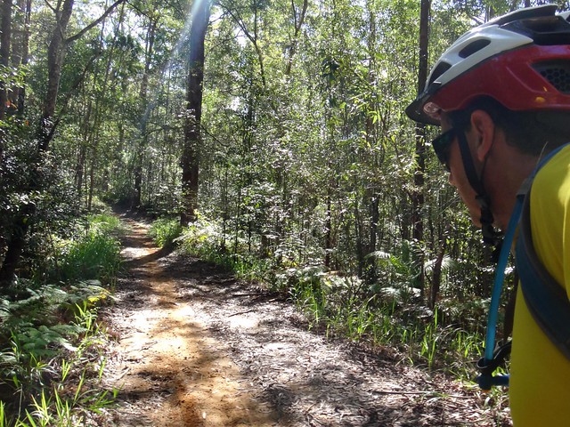

McCarthy Shute Rd


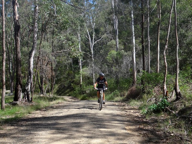
The climb was relentess. It was slippery in parts. Although I had to stop pedalling and put a foot down to keep my balance, I felt a sense of achievement in being able to ride up McCarthys Shute without pushing the bike.
McCarthy Shute Rd

McCarthy Shute Rd


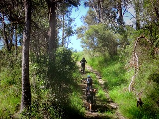
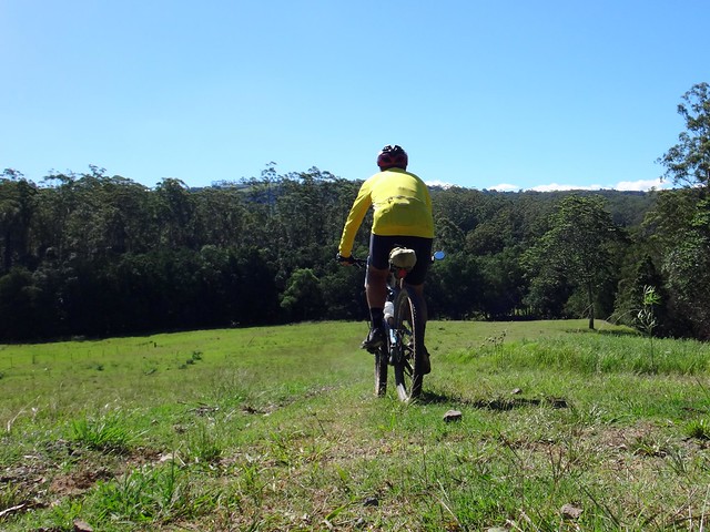
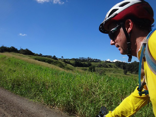
The forest eventually gave way to open fields, the track became a gravel road, but the climb was still intense. I kept turning the cranks and soaked up the scenery as I climbed.
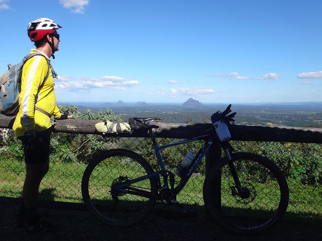
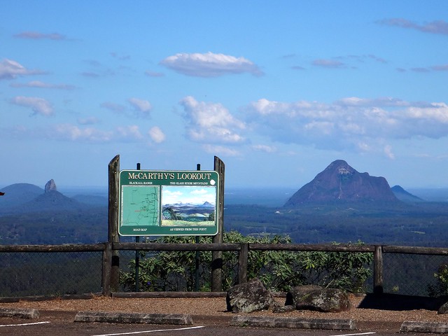
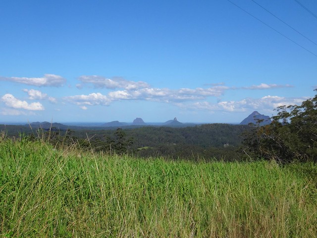
McCarthy Lookout

McCarthy Lookout


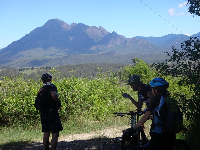
At last I reached the top. As I stood at McCarthy’s lookout I felt grateful for this amazing experience. What a spectacular place we live in. How fortunate we’re able to roam it at leisure.
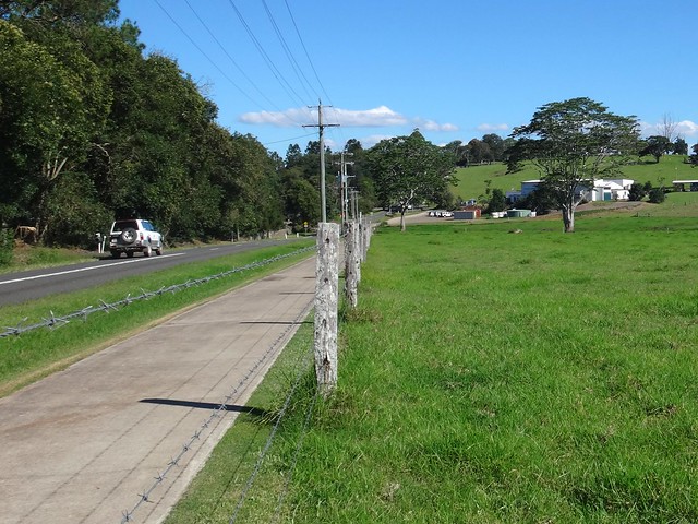

Maleny

All up I travelled 76km in just under 7 hours including breaks.


I burned about 3,000 kcal and climbed about 1,500m in vertical ascent.


I’ll rate this ride 8 out of 10 on the tough-o-meter.


Stay tuned for Day 2!


Sunday, April 13, 2014

Mount Barney

Read More

Mount Barney

“What lottery did I win to be able to see places like this every week?” I muttered to myself as rolled down a quiet road with the huge peaks of Mount Barney soaring above me.


The aim of today’s ride was to complete a large loop from the small south Queensland town of Rathdowney to Mount Barney and then northwards via some off-road trails over the hill to Tamrookum Creek.

Glenoak Road

Glenoak Road

We wanted to avoid paved roads if we could, so we followed some rough road reserves wherever they were available. The first track was Glenoak Road which follows Glenoak Gully up the hill towards Mt Barney. It was rough and steep in parts, but it was delightful to explore the small creek, eventually coming out on a quiet gravel road.

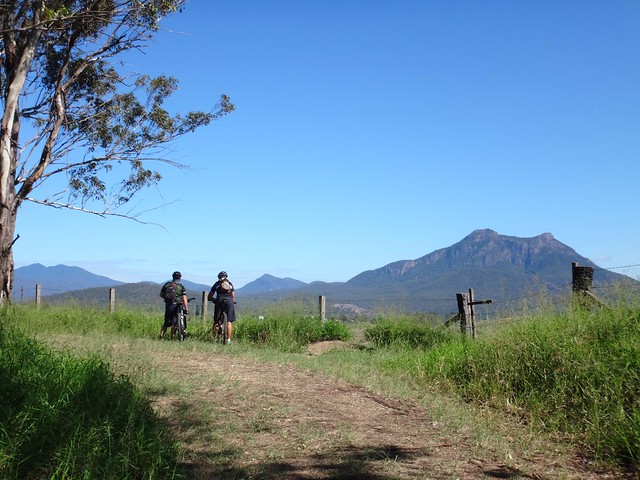
Mt Maroon

It was hard work riding up Glenoak Road from the creek, but the views at the top were spectacular.


The unmistakable profile of Mount Maroon peaked over the the crest of the hill as we pushed to the top.


Prior to the ride, I wasn’t sure whether or not today’s adventure was going to be as enjoyable as last week, but when I saw these views I thought to myself “Yep – we’ve come to the right place”.


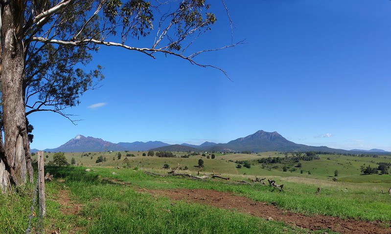
Mount Barney


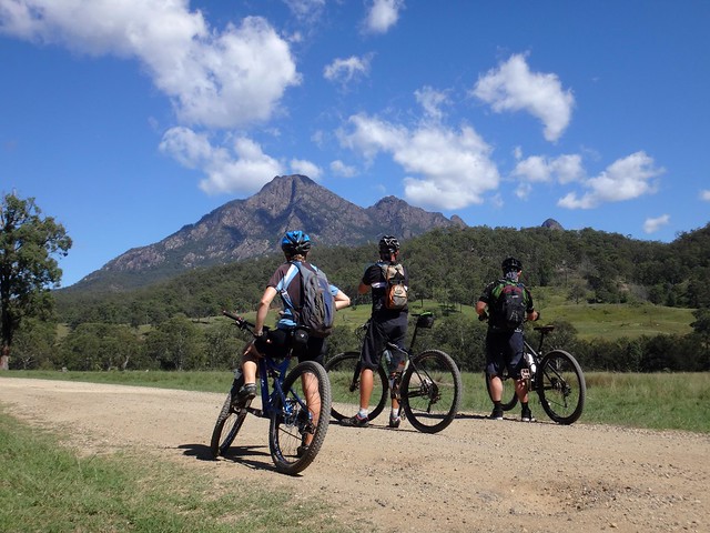
To our left, through the trees we spotted Mount Barney, Queensland’s second highest peak, soaring to a height of 1,351 metres.


Mt Lindesay

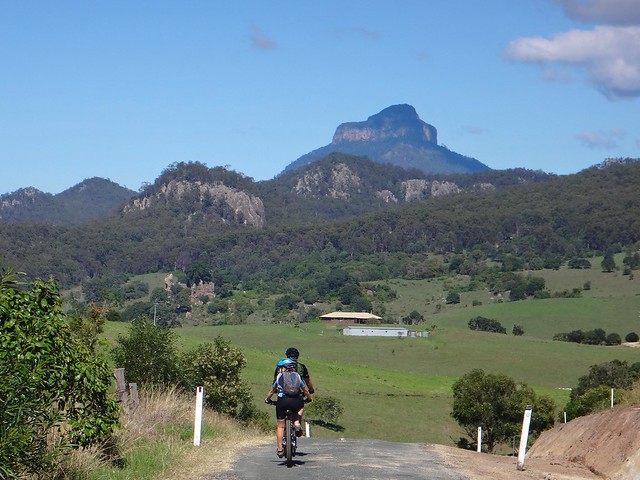
Stunning mountains followed us on every side as we rode through this picturesque valley. As if it had emerged from an oddly shaped jelly mold, Mount Lindesay loomed large in front of us with its unique straight sides and domed top.


article20349997-3-001article20349997-3-002


A century ago, cyclist and school teacher Harry Johns described his ascent of Mount Barney in the “Courier”.


Equipped with basic camping equipment, including a “tomahawk, length of rope and a billy” Johns and three companions spent a weekend scaling the western peak of Barney and measuring its height.


He wrote:


At length a feeling of insecurity steals o’er one, and compels the gaze below. Oh, “how fearful and dizzy ’tis to cast one’s eyes so low.” Below us is an almost un-fathomable abyss, sheer 2000ft., the trees below diminished to shrubs, “almost too small for sight.” The brain swims at the contemplation of the immeasurable depths, Tartaurus itself.


Mount Barney


But ages before Johns ventured up its slopes, this place was home to the Githabul, Mununjali and Yugerah aboriginal people.


Between Mount Barney and Mount Ernest a ceremonial ground, or Bora Ring was used by local tribes for important cultural activities.


They call the twin peaks of Barney “Dooayrdin” and “Yahndaddan”. Their legends tell of an old man who was jealous because his nephew was next in line to take over the tribe. The uncle took the younger man to a cave high on the mountain with the intention of murdering him. While the nephew was in the cave, the old man lit a fire to trap his nephew. The nephew escaped via another hole, came around to the entrance of the cave, and lit a second fire, trapping the murderous uncle who died.


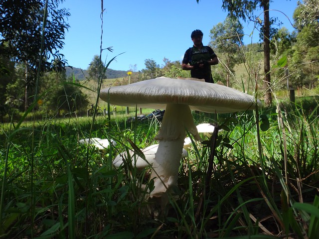
Giant Mushroom


The grass here was covered with mushrooms, some of them huge. This particular specimen was larger than a dinner plate.


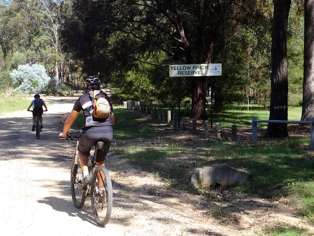
Yellow Pinch

Yellow Pinch


We made our way to the end of the gravel road at Yellow Pinch reserve. We decided to leave the walking tracks to the hikers, and headed north for the second half of our adventure.


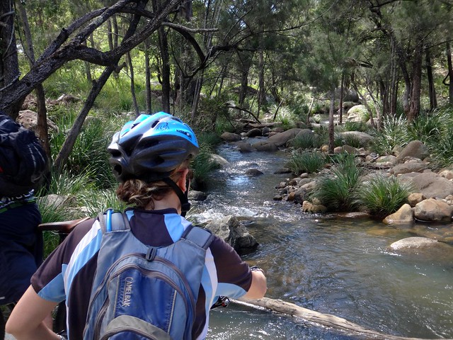
Logan River

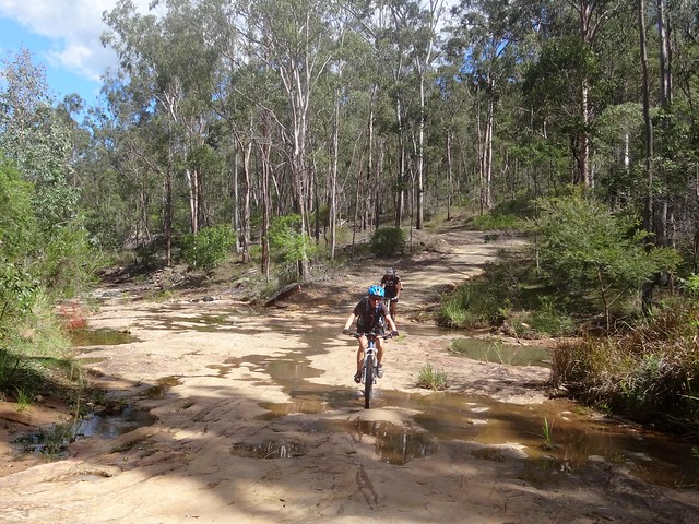
The Logan River has its source in these mountains. The water looked clear and drinkable as at bubbled over the rocks. We crossed the river several times on the way down the hill.


Church Road

Church RoadChurch Road


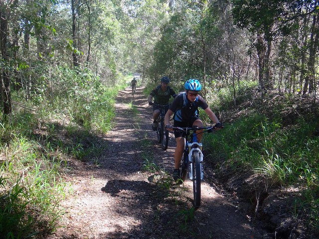
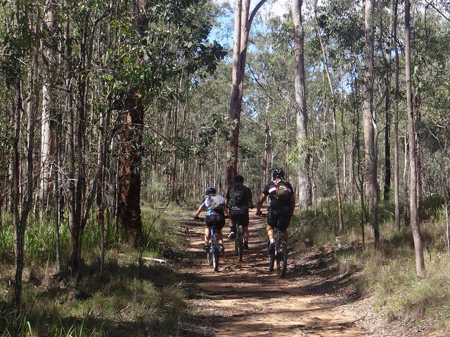
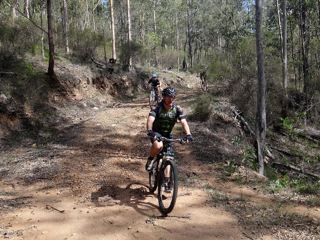
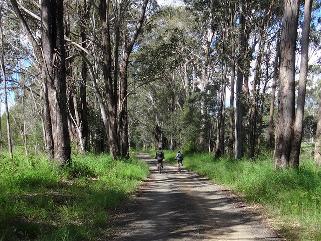
“Church Road” – a rough road reserve – was a fun off-road detour which kept us off the bitumen and forced us to work a bit harder.


Mount Barney


By the time we made it to the top of Church Road we needed a bit of a break.


“That would be a fun ride to do in the opposite direction”, I chirped up. This was a much more positive way of saying “Gee that was a tough climb”.


Cossart Road

Cossart Road


After crossing the main road between Rathdowney and Boonah, we pedalled up Cossart Road. This steep dirt road winds slowly northwards up the hills which overlook Tamrookum Creek.


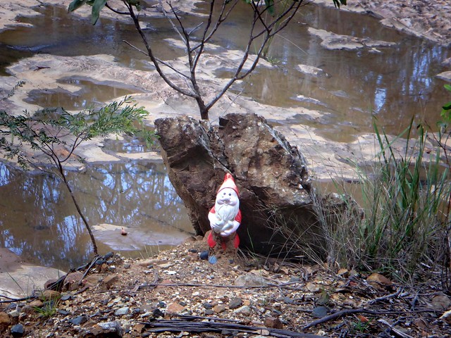
Guard Gnome


This sinister looking Gnome stood guard at the final creek crossing before the big climb.


I’m not sure whether he was placed there as a warning or a welcome, and I half expected his eyes to light up red and an evil laugh to echo from the surrounding hills.


Cossart Road


After the creek, the gradient became very steep. We had to push our bikes for a few hundred metres to reach the top of the road. We all could ride these sorts of slopes, but the surface was covered with slippery marble sized gravel which made our wheels skid out from under us. Walking the bikes was the safest option.


Cossart Road

Tamrookum Creek Road


We finally reached the top, and enjoyed some respite on the flatter trail as we caught our breath.


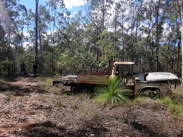
It’s amazing what you find at the top of some hills.


Tamrookum Creek Road

Tamrookum Creek Road


This track was an important discovery for us. We think we might be able to use it as an off-road way of riding between Rathdowney and Boonah. We definitely would like revisit it.


And so we began our fun descent into the Tamrookum Creek valley. I wasn’t sure what to expect here, as I had merely “guestimated” the track – but it was fun to ride and was clearly defined all the way to the bottom of the hill.


Tamrookum Creek Road

Tamrookum Creek Road


The green valley follows Tamrookum Creek for almost ten kilometres. The road meanders besides verdant fields. It’s an idyllic place to ride.


Tamrookum Creek Road

Tamrookum Creek Road


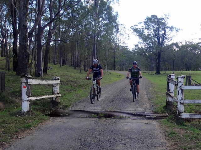
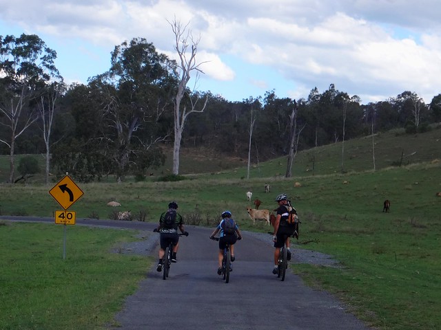
We rattled over numerous grids, and dodged herds of contented cattle as we made our way eastward at a relaxed pace.


Running Creek Road


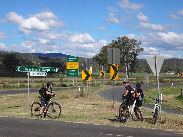
Rather than follow the Mount Lindesay Highway back into town, we rode along Running Creek Road. Although it’s hillier, the quiet narrow roads helped us avoid the traffic on the main road.


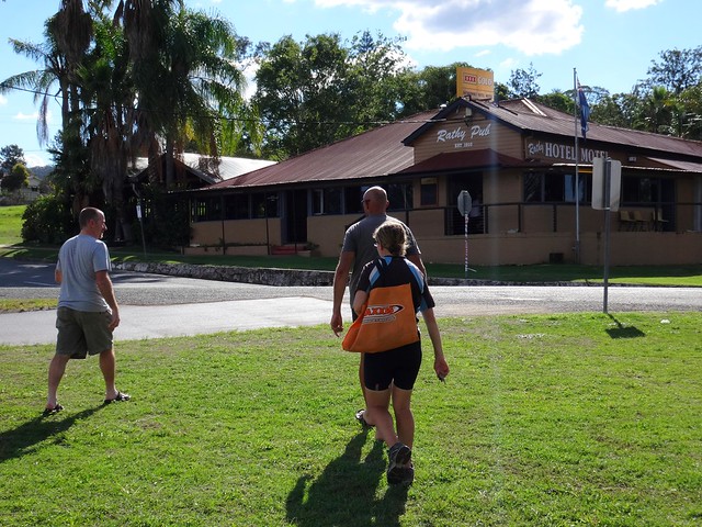
The Rathy


What better way to finish a ride than with a cold beer and snacks at the Rathy Pub?


Barney and Maroon Panorama


All up we rode 67km in just under 6 hours including breaks.


We climbed about 1,100m in vertical ascent, and I burned just under 3,000 kcal.


I’ll rate this ride 8.5 out of 10 on the tough-o-meter.


Thanks Becca, Darb and Paul for another memorable ride!