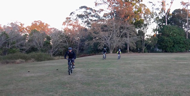
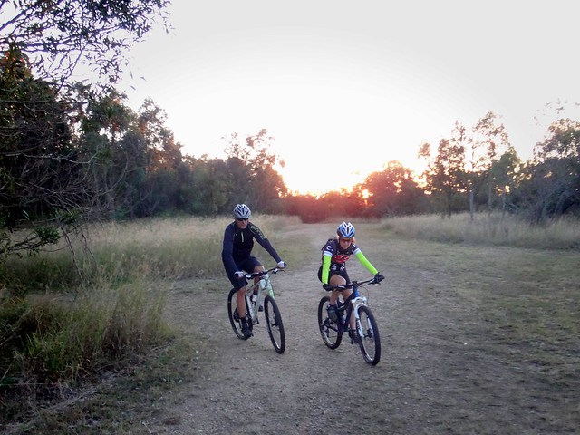
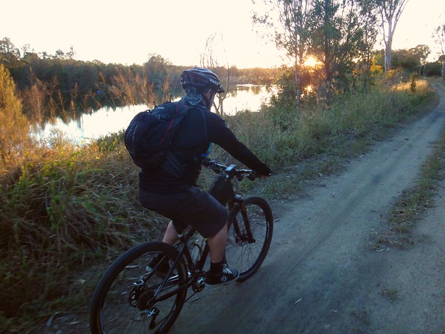
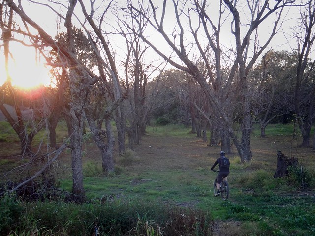
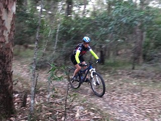
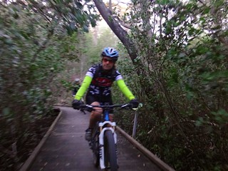
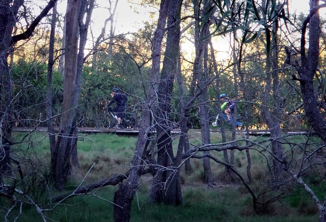
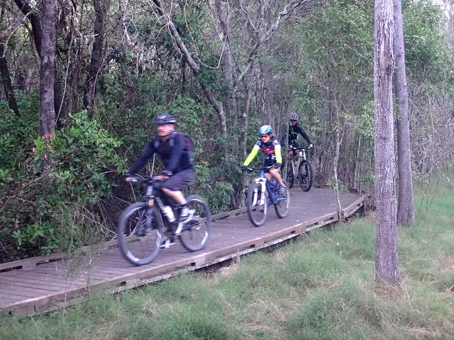
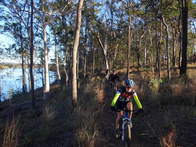
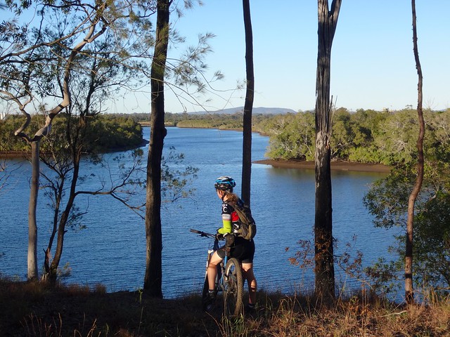
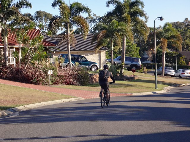
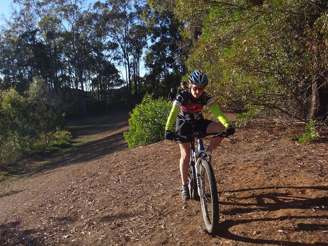
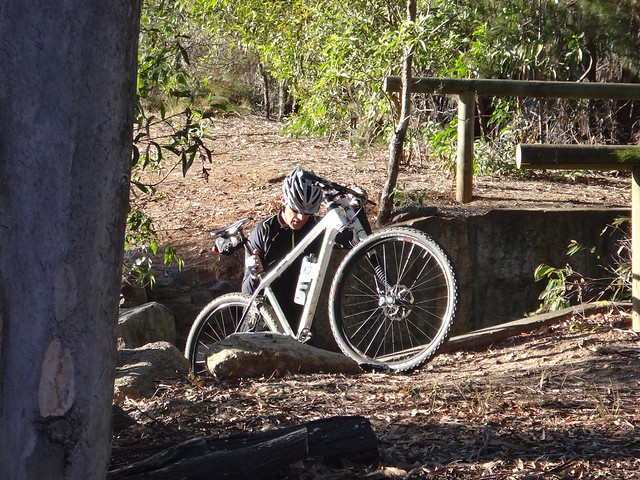
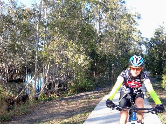
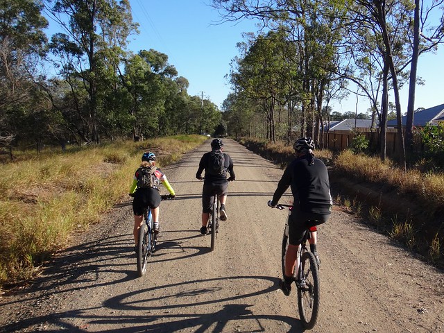
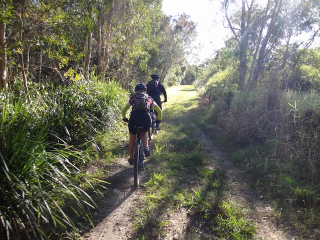
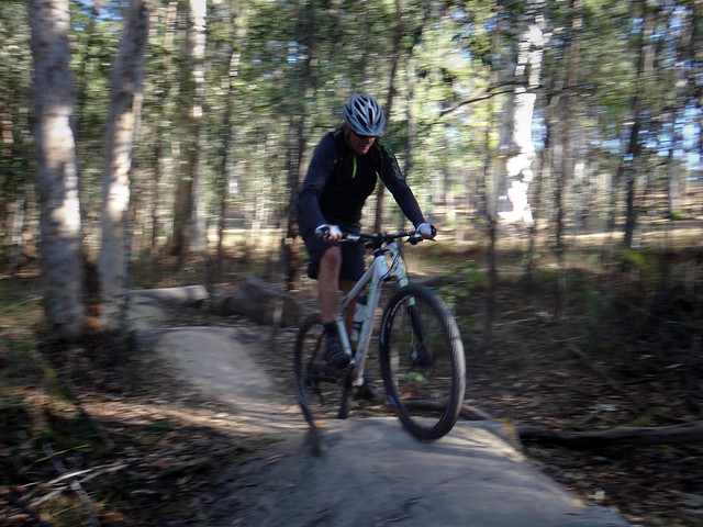
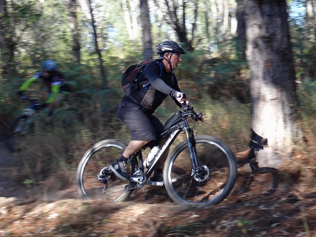
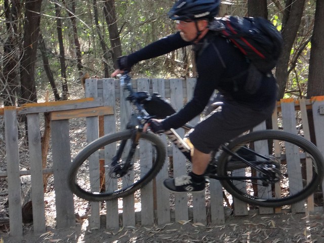
This was an enjoyable day of exploration which turned into an overnight nightmare because of Lantana.

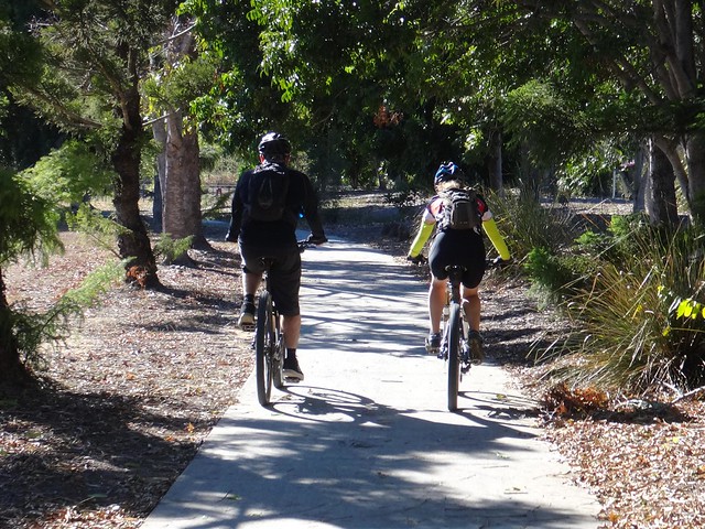
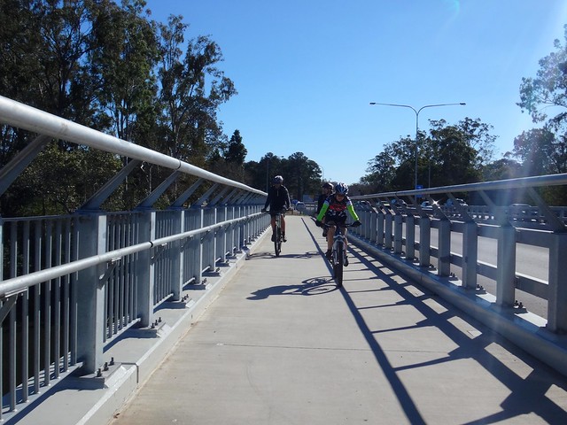
Our plan for today’s ride was to start at the head-waters of the Western Branch of the Brisbane River, follow the Bicentennial National Trail (BNT) northwards to Elgin Vale, then return back to our starting point via Gallangowan and Yabba State Forests.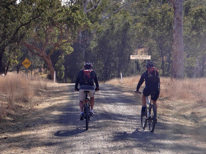
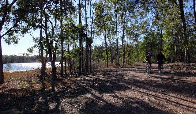
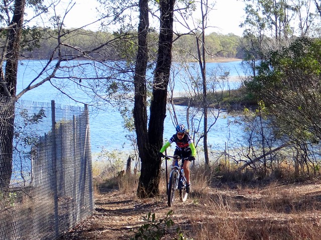
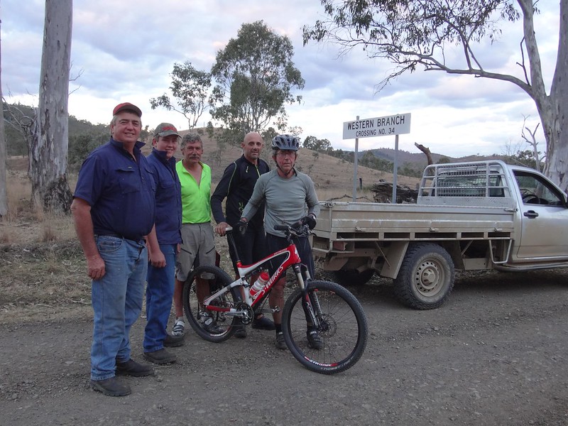
We drove over thirty-four crossings of the Brisbane River to get to our starting point at “Western Branch”. We then set off northwards on the bikes over the few remaining causeways of the upper reaches of the river.
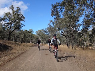
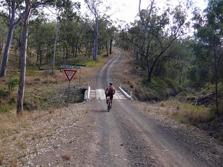
It hasn’t rained here for a long time. The valley seemed dry and remote. It took us about an hour to get over the range towards Elgin Vale.
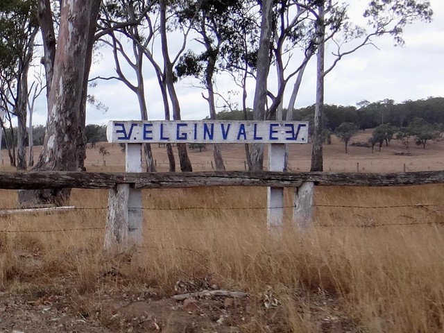
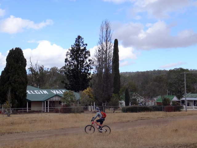
In the 1930′s Elgin Vale was home to a large workforce who ran the local sawmill. It’s much quieter these days…
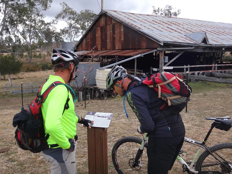
…but the remains of the disused sawmill are still standing.
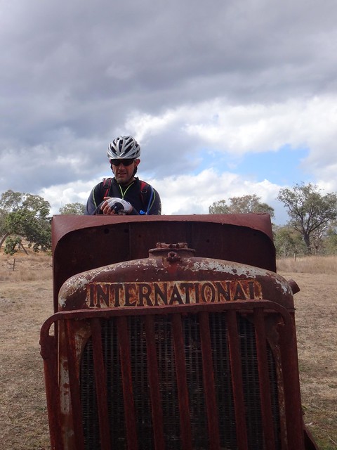

We played around on the rusty old equipment, and I turned over the crank of an old truck a few times.
“I don’t think you’ll start it” a wizened voice yelled out to us from the distance.
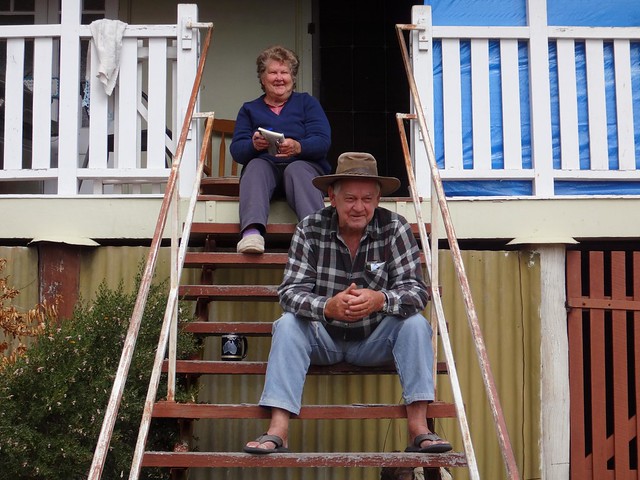
We didn’t realize the caretaker was watching us from his front steps.
Neville Spies and his wife look after the old sawmill. They told us a bit about the history of the place and that many people would like to see the sawmill turned into a museum. He also pointed out a great place down the road where we could top up our water.
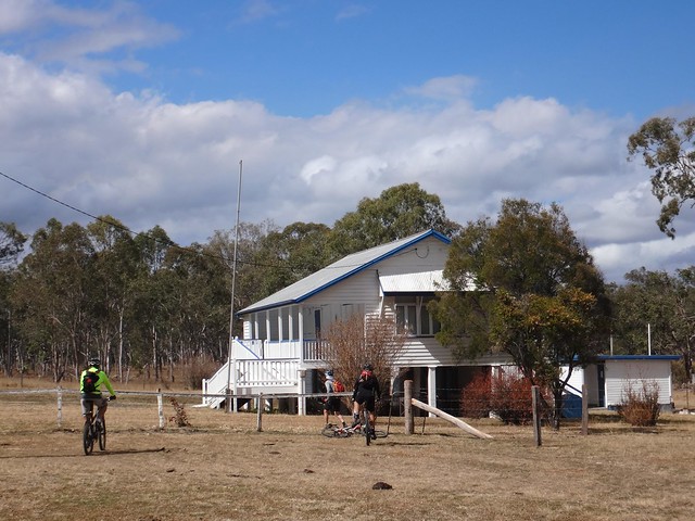
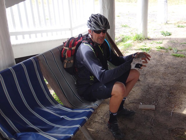
The CWA hall was once a school. With comfortable chairs underneath and plenty of flat lawn outside, it is a popular camping spot for travellers on the BNT. It was the perfect place for us to stop for a quick bite to eat.
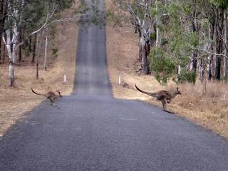
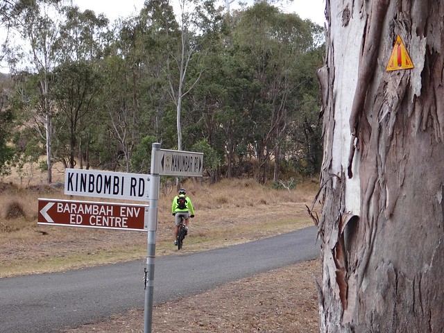
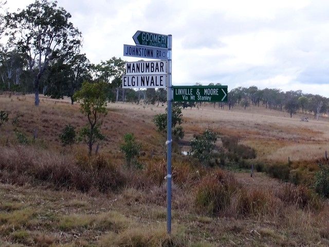
From there we headed west along the paved road to Manumbar. A couple of skittish kangaroos bounded across the road in front of Mike but he managed to evade them. The BNT meanders through the mountains from here towards Kilkivan, but at this point we decided to leave the BNT and make our way up into the forests at Gallangowan.
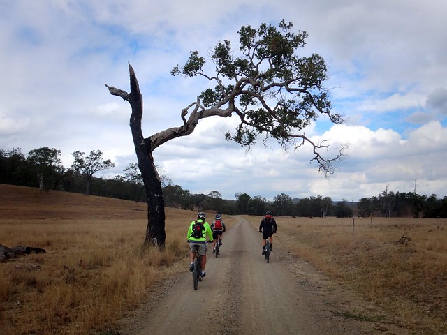
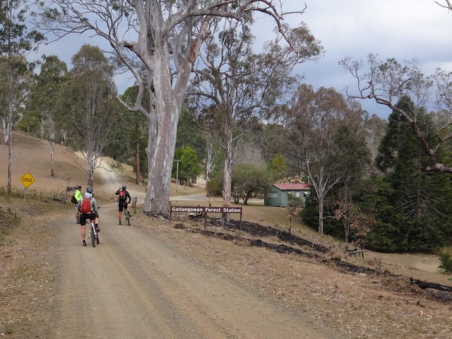
While the Elgin Vale sawmill might not be used anymore, the hills around here are covered with hundreds of square kilometres of plantation forests.
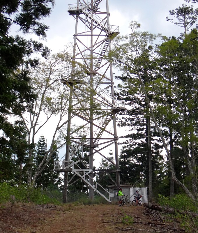
We slowly made our way up the hill to the fire tower.
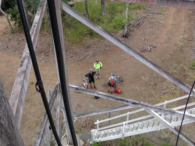
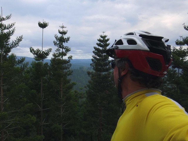
I only made it to top of the second set of stairs before remembering that I am not too good at climbing high things. The wooden stairs felt creaky, the wind felt stronger and irrational voices inside kept shouting that I was going to fall. In this case I listened to the voices, stopped climbing, and sheepishly made my way down.
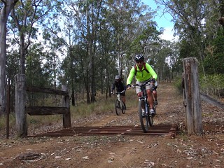
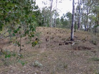
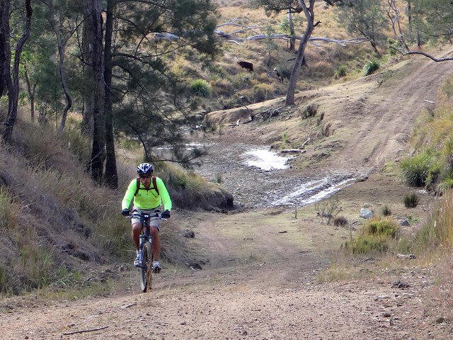
After climbing for another few kilometres to the highest point of the ride, we enjoyed a long slow 11km descent down to Moonarrumbi Creek. I rode through a mob of about half a dozen kangaroos who all started bouncing down the hill in the same direction as I was going. I grinned insanely as I rode alongside them.
“Did you see that???” I asked the other guys as we reached the bottom of the hill.
“See what?” they replied. Thankfully I was able to snap a couple of blurry photos on the way down while clinging to the handlebars with my free hand.
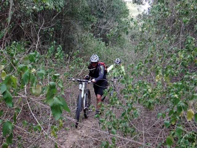
And then came the Lantana.
For those of you lucky enough to not know about it, Lantana camara is a noxious weed from South America. It grows in thickets up to 4 or 5 metres high and has thick spiky branches which form a lattice. To get through you have to break or bend the branches, while their small spikes scratch your skin.
It was about 3pm. Our course showed us about 15km from the end of the ride. All we had to do was go straight ahead and follow the forestry road I had spotted from the satelite imagery.
The lantana wasn’t too bad at first. We could walk around it at first, and we did. But it slowly got thicker.

Eventually we just had to push the bikes into it and walk behind. But that became difficult because the branches would get caught around the bike, on the pedals, through the spokes, around the seat. Meanwhile the ends of the branches poked us in the face, ears, eyes and mouth. Branches would get stuck between my pack and my back, making it impossible to move.
In some places we had to crawl under the branches, and drag the bikes with us.
In other places we tried to go around the Lantana, in the forest, but it was full of vines which were even harder to traverse because they’d wrap around our bodies and the bikes. And their spikes were larger.
Why didn’t we turn around?
We should have. On other rides when we’ve hit Lantana we’ve back tracked. But this time we were at the end of a long ride, and the thickets stood between us and home. Back tracking would have meant retracing the days ride which would have taken 5 or 6 hours. We had a vain hope that if we persisted we’d break through to a clear road and get back a couple of hours late.
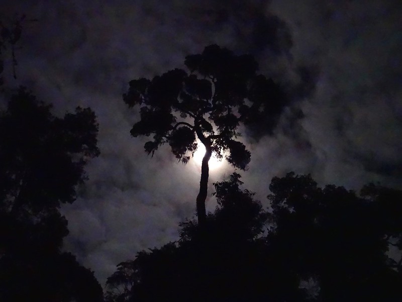
That hope faded as the sun set. For an hour or so we could see very little until the moon rose higher. We took turns – a couple would plough ahead into the Lantana, breaking the branches to clear a path, while a couple of us rested. We’d then drag the bikes through the cleared path.
We were only progressing at about 200 metres per hour.
Mike, Eric and Paul worked bloody hard through the night, putting their bodies on the line, throwing themselves into the horrible weeds. I tried to help, but I don’t think I pulled my weight. Without these men, things could have been much worse than they were.
By 8pm we reached a spot where we were able to get phone reception, and phoned home to let our families know we were running late, we were ok, but we didn’t know when we would be home. I was also thankful I had my Spot GPS messenger which was transmitting our location every ten minutes via Satellite. Loved ones were able to watch our slow progress through the night.
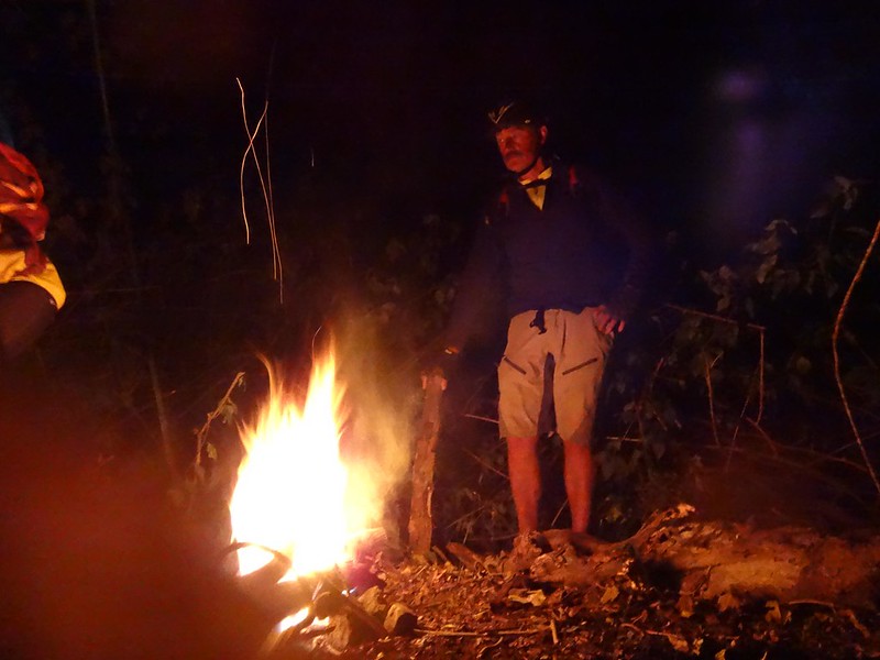
At 3am the moon started getting low. It was pitch black. We had no torches.
We had no torches – can you believe that? I always carry way too much stuff in my pack but this time I had forgotten to pack a lousy torch.
But I did have matches and Eric had a lighter. He got a fire going. I shared out a couple of large garbage bags I keep in my pack so the others could keep warm. I was grateful for the space blanket I kept in my first aid kit. I lay shivering on the lantana branches under my space blanket next to the fire wondering how the heck we had allowed ourselves to get into this predicament. Then I drifted off to sleep for an hour or two.
Thankfully it was winter. It was cold, but there were no snakes or biting insects except for a couple of mosquitoes.
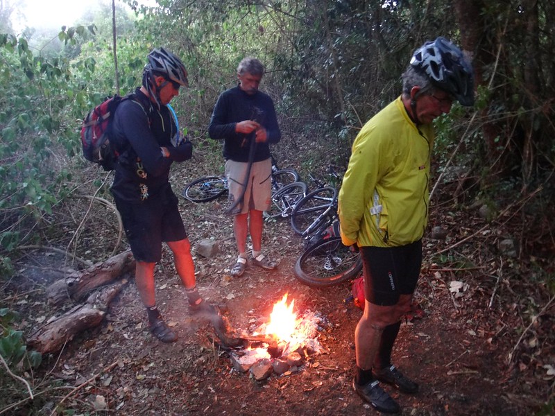
Morning came. We were all running low on water and snacks.
I’m not sure why we decided to keep pushing ahead in the same direction. After a couple of hours we came to a decision.
“If we keep doing this we’ll be in this forest for a second night” we agreed.
So we turned back.
It was slow going – but our progress was faster. We were following the track we had made the night before, so we didn’t have to break off as many branches. We were racing along at maybe 500 metres per hour.
By mid morning we had run out of water.
With dry tongues thick with thirst, it was impossible to eat anything. You can’t digest food without water. With thick forest either side, and lantana around us, it was impossible to go off in search of a creek. All we could do was push ahead.
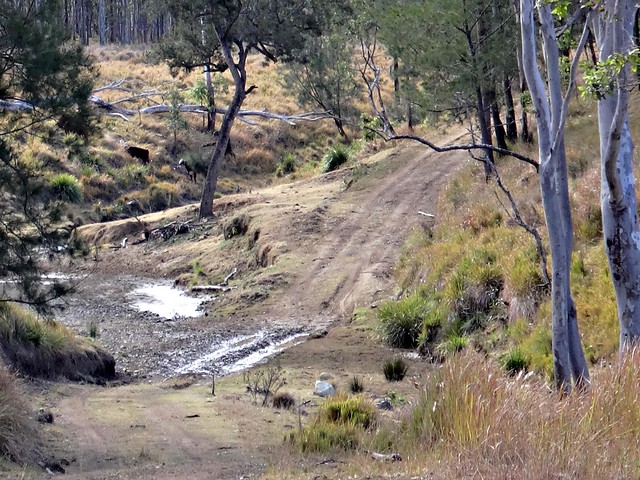
We eventually emerged from the Lantana thicket at 3pm – 24 hours after we had gone in. After a quick roll down the hill we were at Moonarrumbi Creek. It was thick with moss. I could see insects swimming around in it, and there were cowpats on the egde – but it was the only water around, so we drank it. I have a LifeStraw filter which I keep for situations like this, but it didn’t work. Thankfully we also had some Ambipur water purifying tablets which we put in the water before drinking it.
The funny thing about dehydration is that even though we were guzzling down large quantities of water, we still felt thirsty. It’s a horrible sensation.
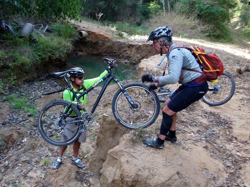
As the afternoon wore on, we slowly made our way northwards through the state forest back towards the main road. Bridges were washed away in one or two places. At other spots we had to climb over fallen trees, but these obstacles seemed insubstantial compared with the monster we had contended with during the night.

And then a miracle happened. When we got to the Manumbar cross-roads, a couple of farmers drove by in a ute. I stuck out my thumb asking for a lift, and they stopped. I think we must have looked quite pathetic, covered in scratches. They took pity on us and agreed to drive us back to our car, about 30km away.
So we piled in the back of the ute, with our bikes, and hung on tightly as we bounced around on the bumpy roads.
Leon Franz and his son Jamie are cattle farmers from Manumbar. I think they’re heroes. Leon’s great, great… grandfather was Friedrich (Karl) Franz, a german missionary – one of the first free settlers who came to Queensland in 1838 as part of the Zion Hill missionary station.
Leon’s grandmother, Emma Franz was a mother of nine and a midwife who’d go out in the middle of the night with a lantern to help women giving birth.
Leon’s father, Norm drove the kids to school in the school bus.
And today, Leon often rescues hapless travellers who are stranded with flat tyres, broken down vehicles or (as in our case), exhausted.
Leon’s family has been a cornerstone of the community helping people for generations.
We’re so glad you came long when you did, mate 

Our GPS batteries ran out during the night, so the stats of this ride are not as accurate as normal.
All up we rode about 90km with about 2,000m of climbing. It took us 32 hours, and I burned 9,000 kcal.
If we had found a reasonable track back this ride would have only been 75km long with about 1,700m of ascent and would have rated about 8.5 out of 10 on the tough-o-meter.
As it turned out, it was much tougher – life threatening, in fact.
I am very grateful to Eric, Mike and Paul for the back-breaking effort they made to get us all home safely. It’s not till you’re in a life-threatening physically demanding situation that you discover the quality of someone’s true character. These guys were outstanding. I feel like I could trust them with my life – because I did.
Lessons Learned
Take lots of water, and refill whenever you get the chance.
Take plenty of food and snacks.
Take a jacket.
Take a good first aid kit, with space blanket and matches or lighter.
Take something to purify pond water if needed.
Take a torch.
If there’s an unknown / difficult section of trail, attempt it at the start of the day, not the end. It’s easier to recover from navigational errors when you have plenty of daylight left.
Have a “Plan B” route in case the first route fails.
Take a Spot GPS Messenger in rough country. Phones are unreliable.
Avoid lantana at all costs.