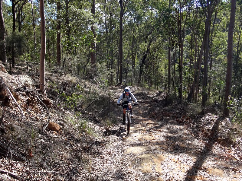
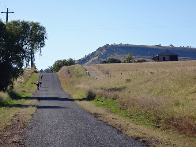
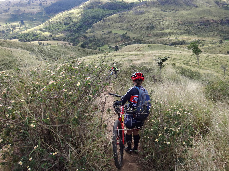
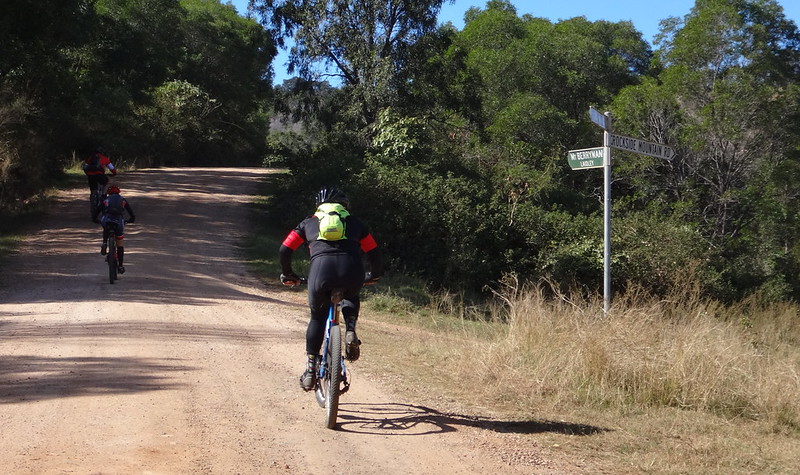
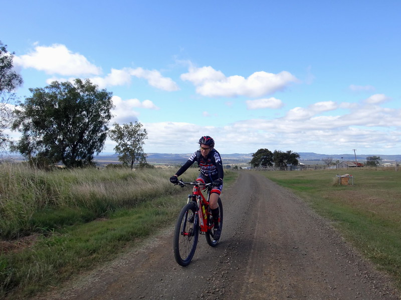
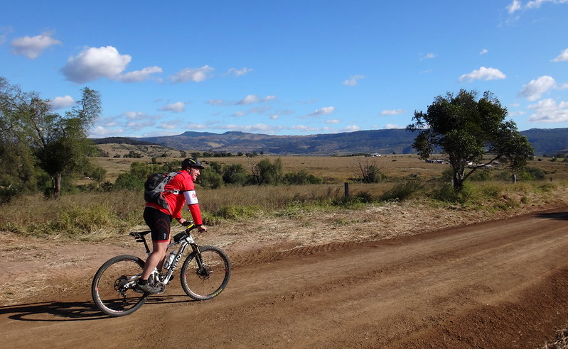
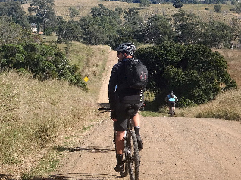
Would you like to join us for a moderately challenging Cross Country ride through three “Gaps” in mountain ranges in the Lockyer Valley, including the spectacular Laidley Gap?
We’ll start at Mulgowie and follow part of the Bicentennial National as we pass through Red Gap, Edwards Gap, a tough climb up to Laidley Gap, and then a eye-watering descent back down the hill through Thornton.
There’s the option of lunch and drinks at the Mulgowie Pub afterwards as well.
This is a 75 minute drive from Brisbane. Allow 90 minutes from the Northen Suburbs. Slightly less from the Western Suburbs. The easiest way to get there is to drive to Laidley then head south on Mulgowie Road.
DISTANCE: 50km, with 1,100m ascent.
BRING:
Bike in good condition, spares, sunscreen, water and snacks.
I’ve posted details of this ride at MTBDirt.com, Facebook and on my website. Please reply / contact me via one of those media to let us know if you’re coming so we know how many people to expect. I’d also like to let the guy at the Mulga Pub know how many people to expect for lunch.
DISCLAIMER
Mountain Biking is a dangerous sport. You ride with us at your own risk.
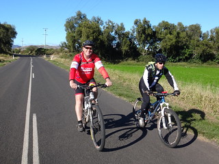
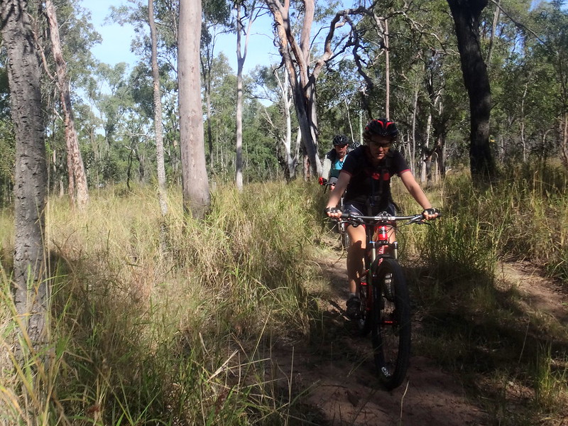
I have amazing friends. When I told them about some rugged hilltop tracks than I wanted to explore, they gladly joined me for another adventure on the bike.
Mount Sylvia has been the starting point of many exciting rides for us.
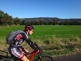
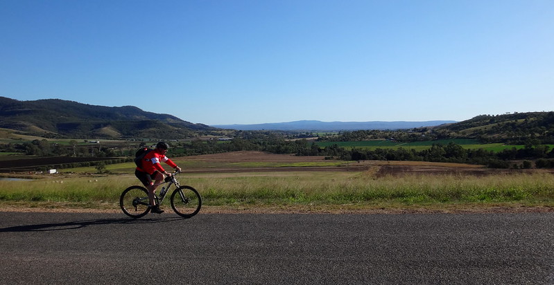
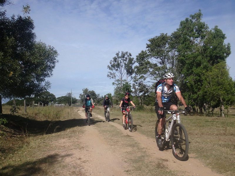
We rolled out of town on a crisp clear winter morning, past fields full of promising crops.
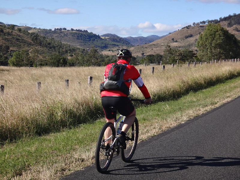
After a brisk warm-up along a flat road, our day of climbing began as we pushed up Zampechs Road and I quickly fell behind.
The Tenthill Valley spread out before us like a quilt, a patchwork rich in verdant shades.
After riding down the other side we briefly followed Wonga Creek along the Ingoldsby Valley up into the next set of hills.
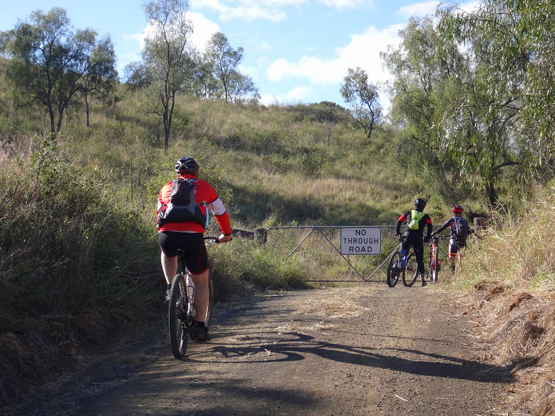
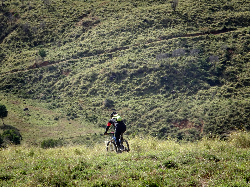
And so began our second climb, up Ziscakes Road. Although it is designated a “No Through Road” it is on a road reserve which led over this hill and down the other side to Rockside. I wanted to know if it was possible to follow that road reserve.
It’s a steep climb with gradients exceeding 23%. We worked hard as we pushed upwards.
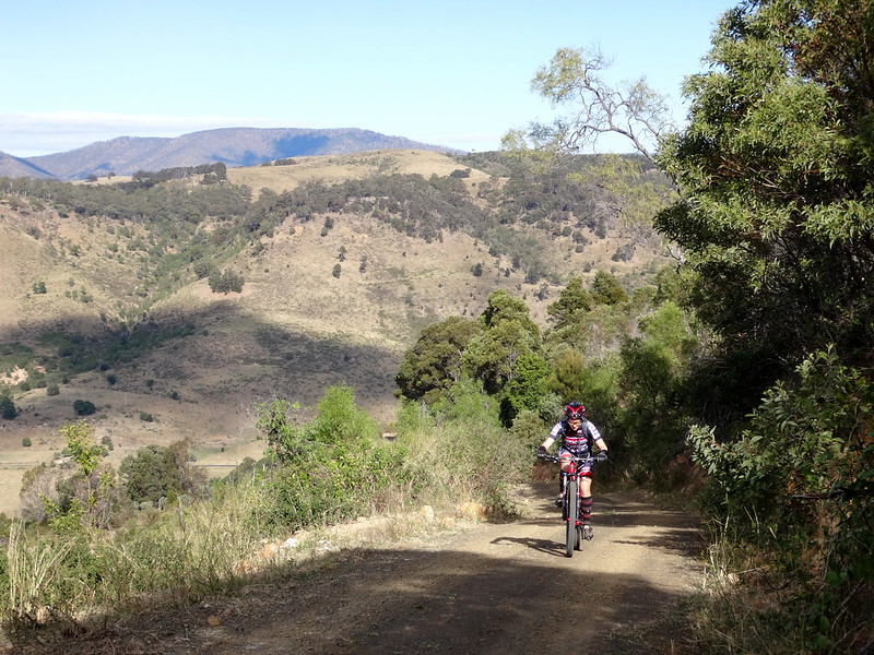
Becca has superhuman hill-climbing abilities. She cheerfully rode ahead and held open the gates while we huffed and puffed past her.
She then quickly caught up to us again after closing the gate behind us.
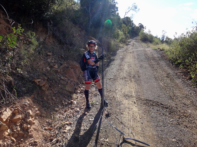
(Photo: Simon Smith)
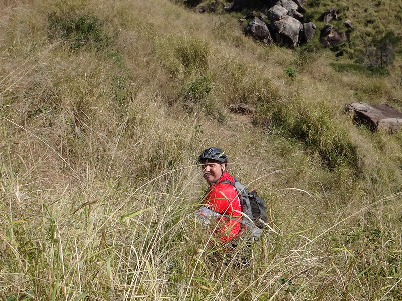
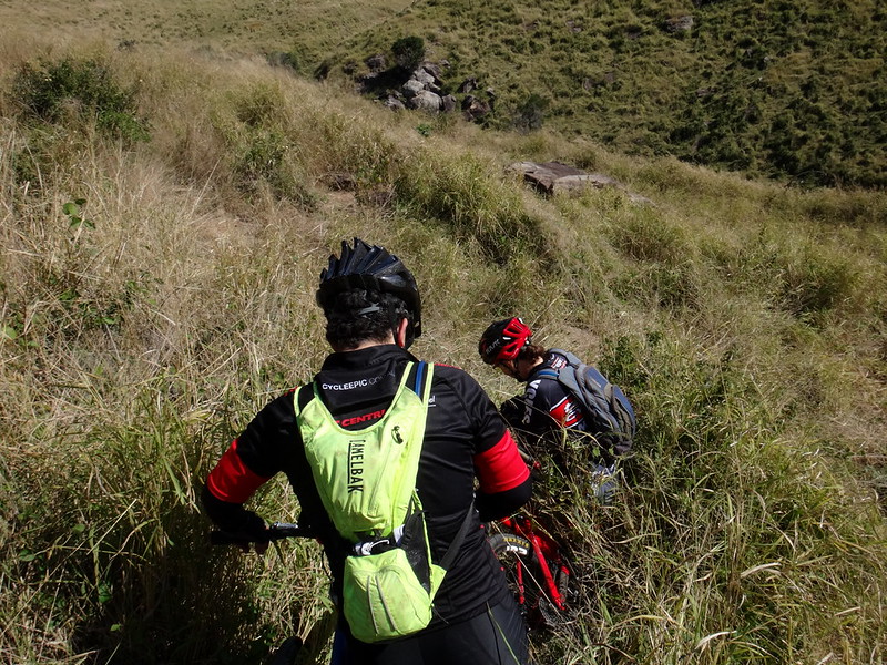
We had difficulty following the road reserve at the top of the hill, so we did the best we could, following a steep rocky track down the other side.
We had answered my question – the track was passable, but in parts it was not rideable.
We bumped towards the bottom of the hill – off course, but with a rough idea of where we wanted to end up.
As we drew closer to the bottom, the terrain became steeper and rougher.
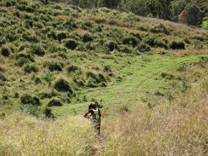
We lost the track again, but Simon generously offered to bash through the grass and find it. Thanks Simon!
Down…
…down…
… we eventually emerged in a horse paddock near someone’s back door.
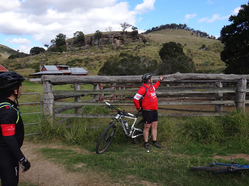
I sheepishly walked over to the farmhouse to confess our sin of trespassing. Mick, the land owner, was surprised to see us, and most amused when he found out where we had come from.
He explained how we could escape his hidden valley, but I told him we were going in the opposite direction, over Rockside Mountain.
“I’m telling you this in case anyone wants to know where to find the bodies”, I joked.
He chuckled quietly.
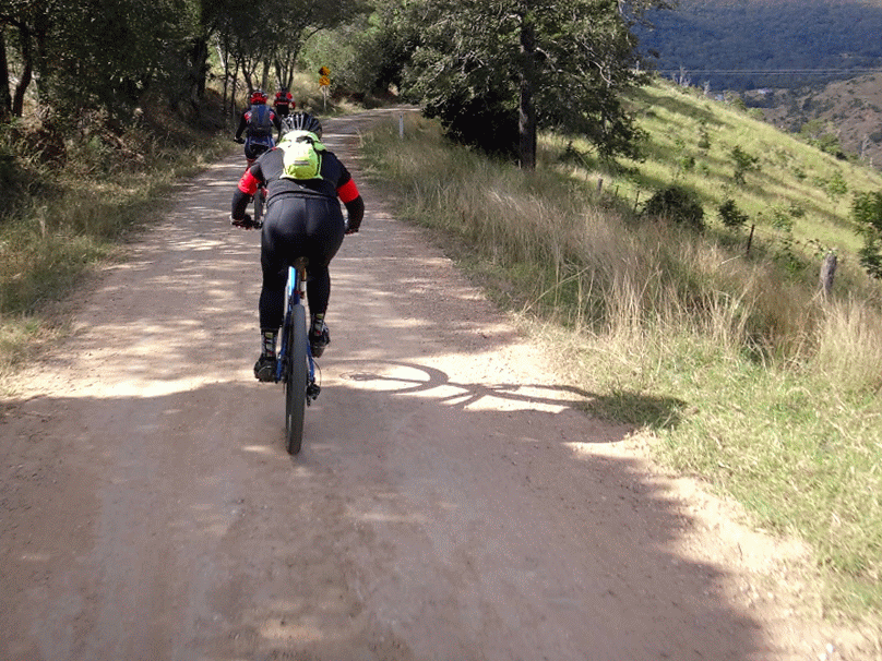
And so we started the third climb of the day up Rockside Mountain Road.
This one was easier that I had anticipated and we reached the top quicker than expected for a short lunch break.
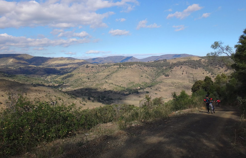
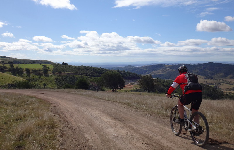
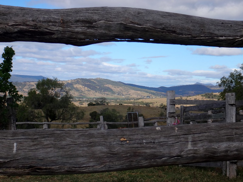
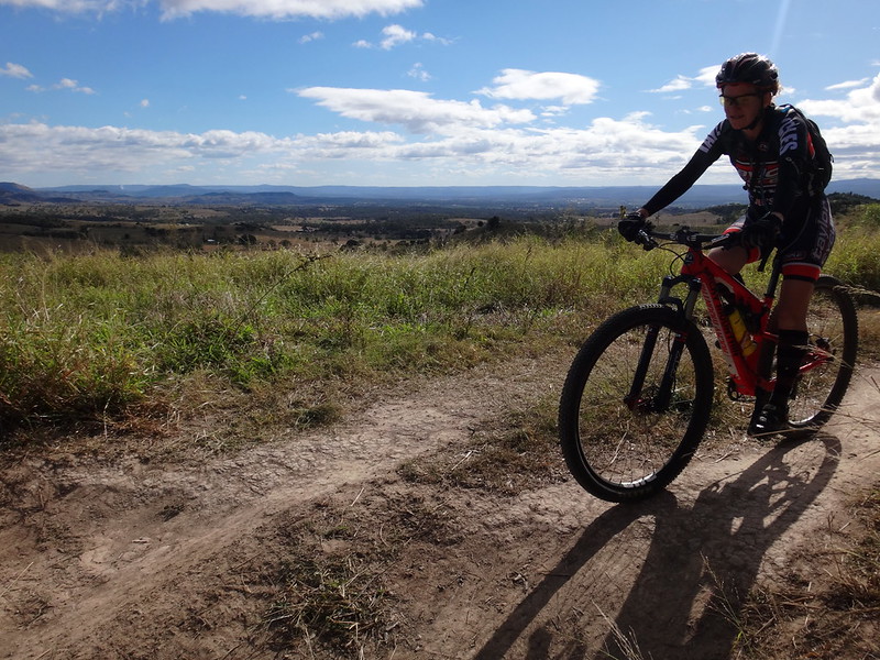
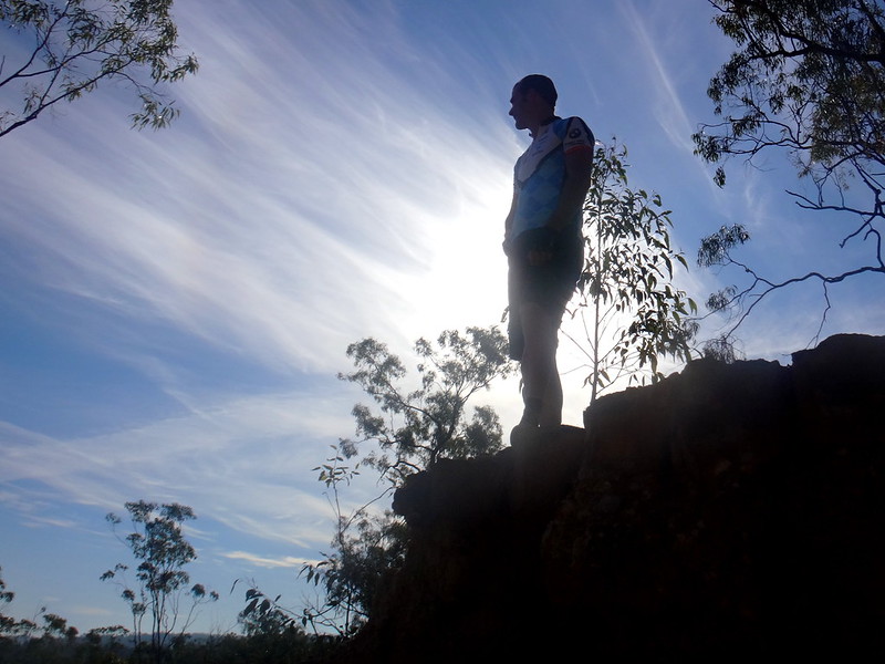
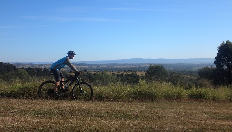
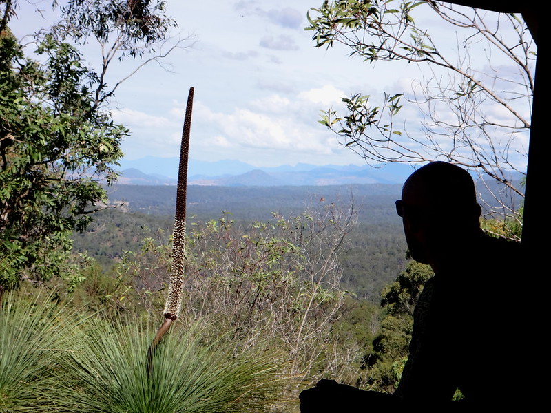
The 360 degree views at the top are spectacular.
The blistering descent was frantic.
Rockside Mountain Road twists and drops steeply down the other side. We rocketed down the hill grabbing handfuls of brake levers before the tight turns, then tucking in as we accelerated out of the bend.
I am glad there were no cars coming up the hill.
“That was amazing!” I blurted out at the bottom.
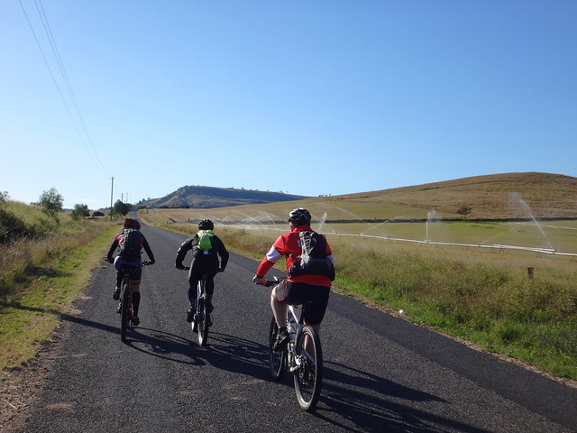
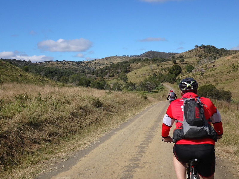
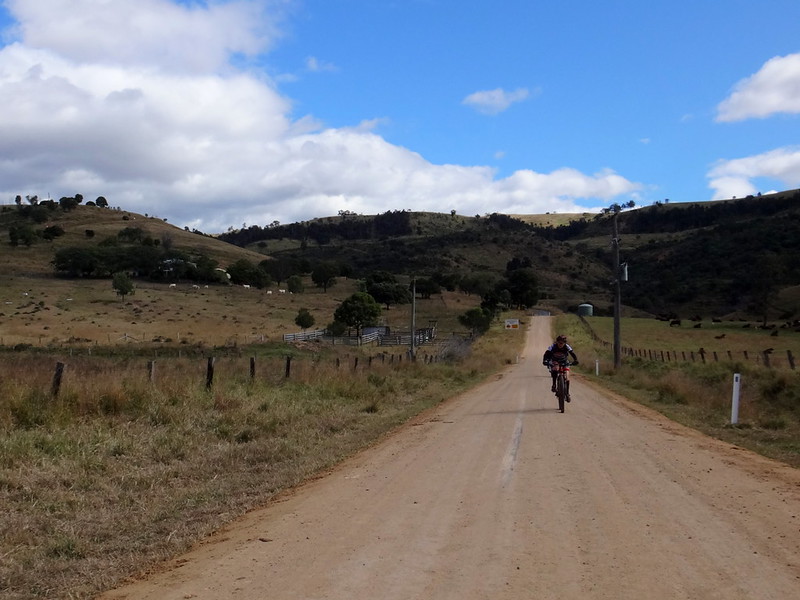
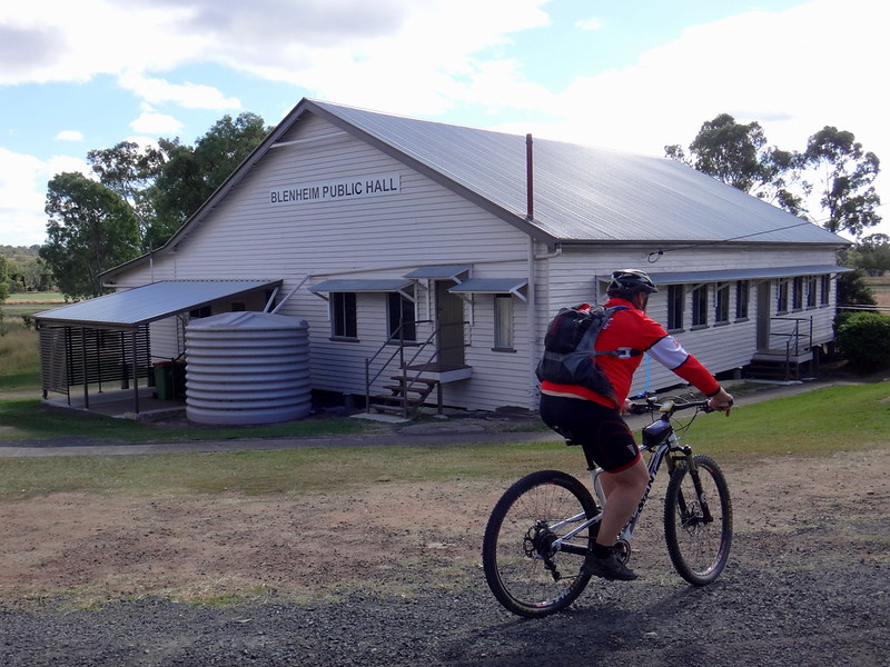
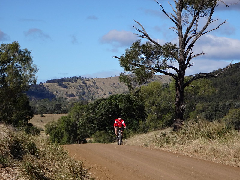
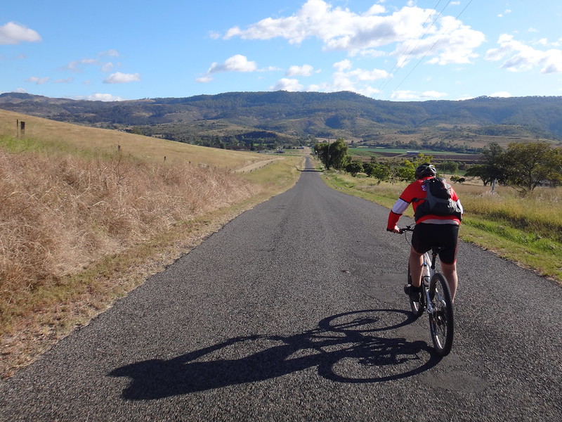
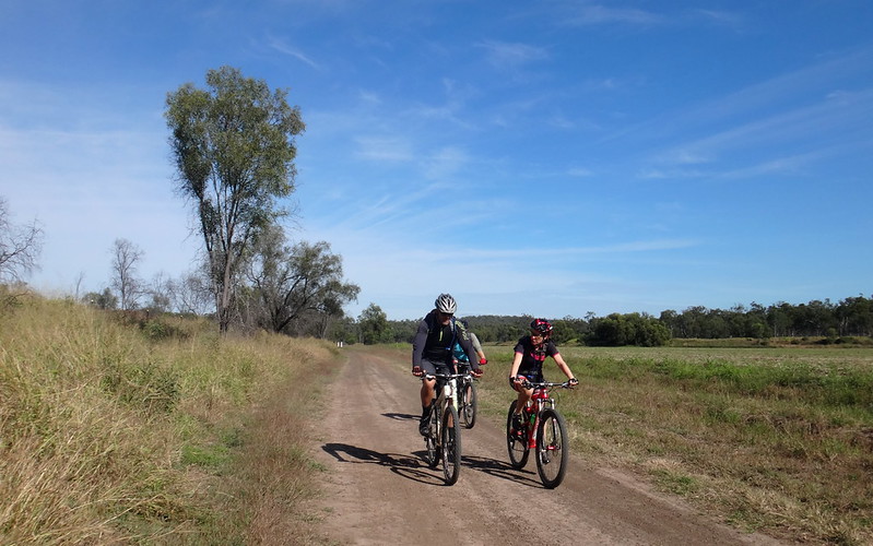
For the next eight kilometres we followed a quiet bitumen road with a gentle downhill slope from Mount Berryman to Blenheim. The kind gradient and generous tailwind pushed us quickly along the road. We were in Blenheim in a matter of minutes. I am sure it would have taken ages if we rode this stretch in the opposite direction.
My friends kindly granted me another indulgence as we took a detour to the northwest in order to “join up” this ride with the route from last weeks ride near Laidley.
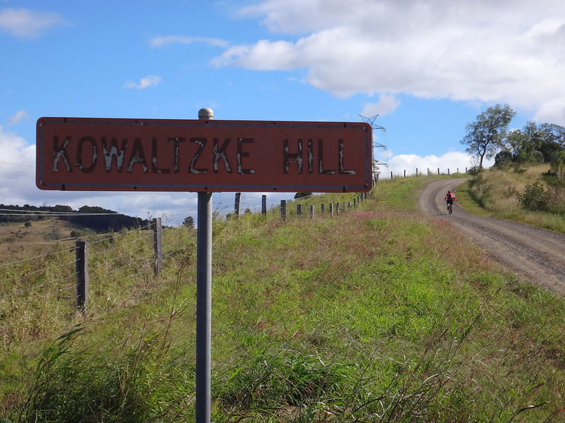
After satisfying my OCD map-demons, we turned our bikes homeward and slowly ground our way up Kawaltzke Hill.
“All these German names” I mused to myself as I fell further behind the stronger riders, and thought about the German settlers who came to the Lockyer Valley to carve our farms in the nineteenth century.
Becca rolled back down the hill to ride with me as I completed the climb.
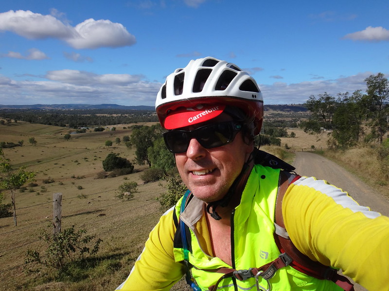
Today we had more than our fair share of hilltop panoramic views.
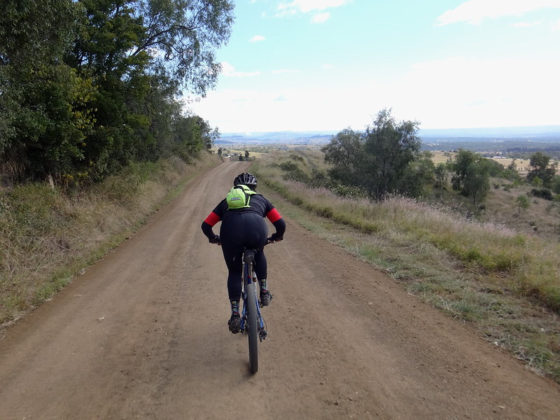
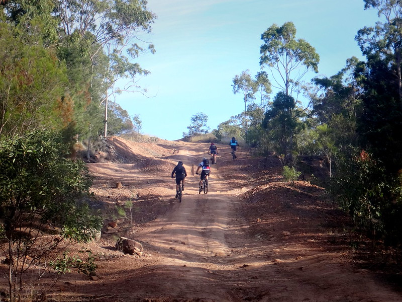
The gruelling final fifteen kilometres led us down a series of quick gravel descents followed by short steep climbs.
I grew weary as I lost count of the hills.
I continually checked my GPS for some reassurance of how far we had left to ride.
I sighed with relief as we crested the final hill…
It was all downhill from here.
Ahhh Mount Sylvia. Why do I always associate you with exhaustion?
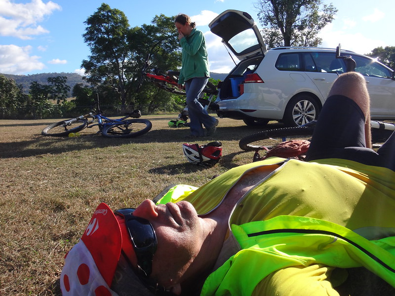
All up we rode about 60km in about 6 hours.
We climbed about 1,400m in vertical ascent, and I burned about 2,900 kcal.
I’ll rate this ride 8.5 out of 10 on the tough-o-meter.
Thanks, Becca, Tom and Simon for another exciting adventure.
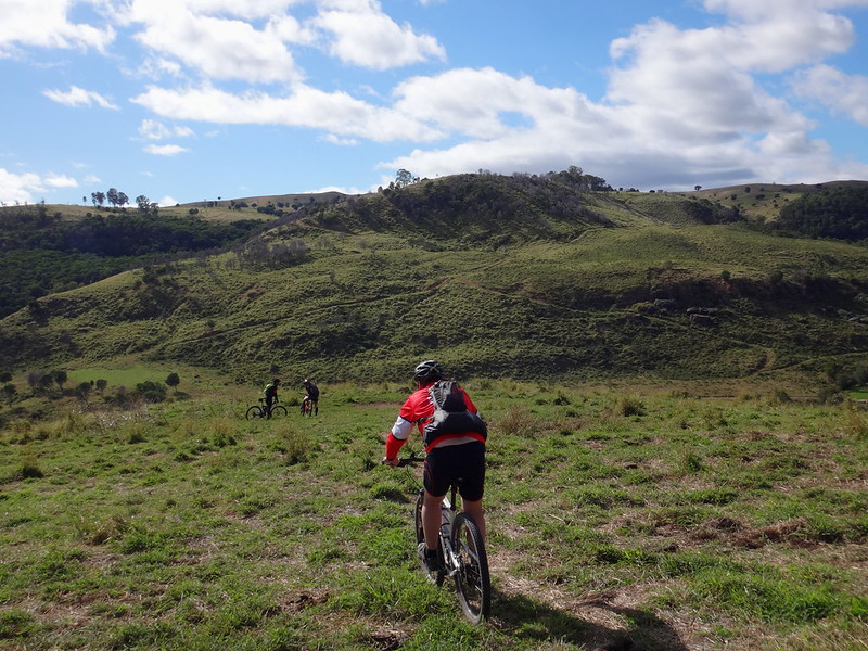
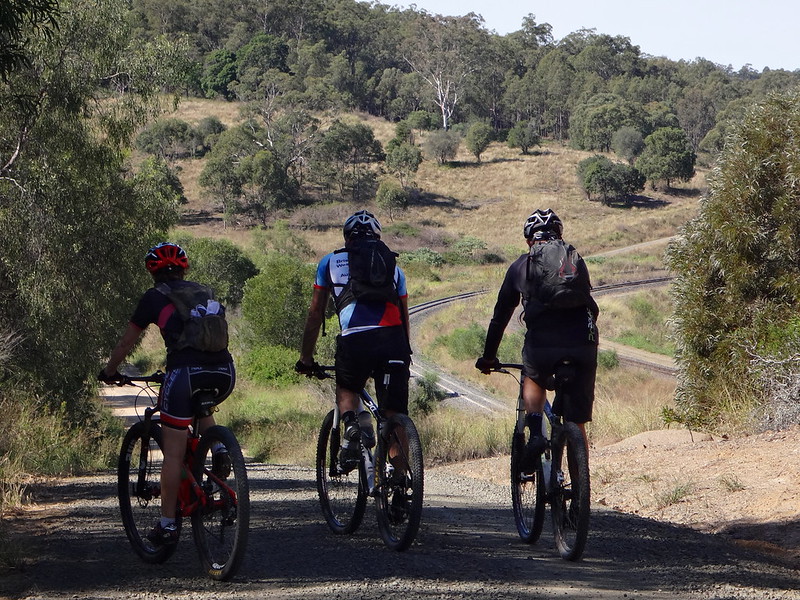
We followed Allan Cunninghamn’s journey to the historic pass through the Great Dividing Range last week, and continued the theme today: exploring more of his travels in in a scenic loop west of Ipswich, over the Little Liverpool Range to Laidley and back again.
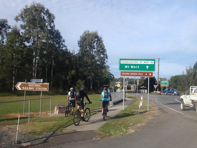
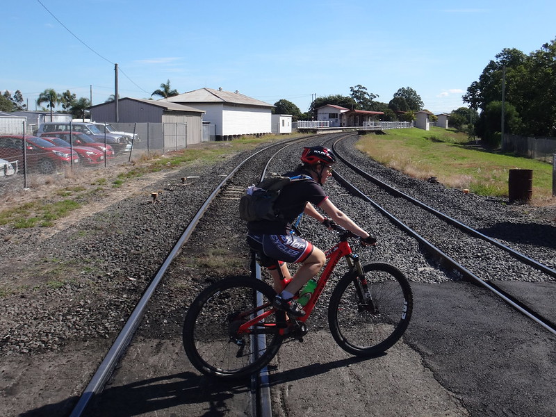
We started at Grandchester, a small town on the main railway line between Ipswich and Toowoomba., and home to one of the oldest railway stations on Queensland.
For a couple of kilometres we followed the paved road westwards out of town towards the Little Liverpool Range.
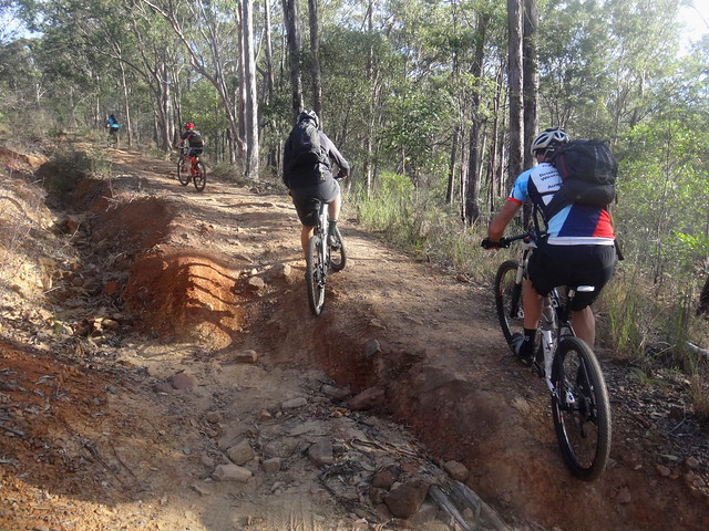
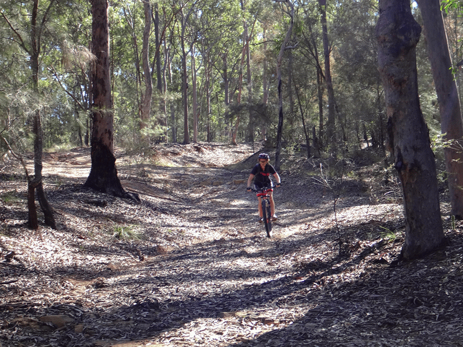
After a few minutes we were glad to leave the traffic and point our bikes up the steep and bumpy slopes of Old Grandchester Road.
While the newer paved road is a much smoother (and busier) way over the range, this old dirt track is a much more enjoyable way to cross over the hills to Laidley.
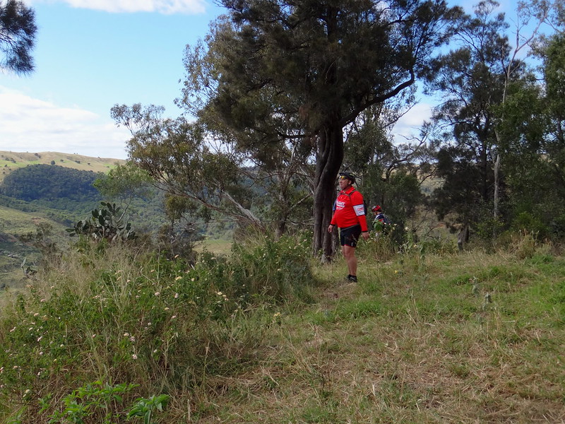
We stopped at the top to look back towards Flinders Peak shrouded in cloud to the east.
As we bumped down the other side, we could see the plains around Laidley stretching out to the west.
There were one or two steep drop-offs along the way, so we needed to pick our way carefully down the other side.
Eventually we reached the bottom of Old Grandchester Road and enjoyed a quiet roll into the town of Laidley.
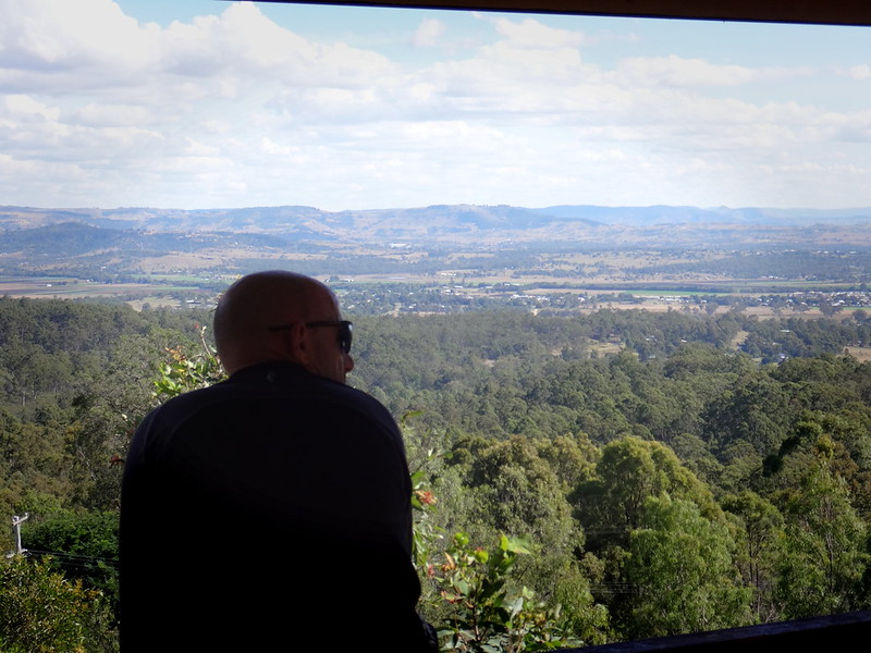
Instead of stopping in town so early on a Saturday morning, we decided to continue westwards towards Shultz Lookout. I’d never been there before, and was curious to check it out.
After a short sharp climb to the top, we enjoyed a brief rest in the shade while we soaked up the 360 degree views.
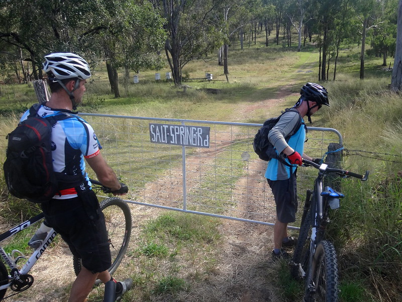
After a brisk roll back down the hill we avoided paved roads, following a circuitous route along some of the wonderful dirt tracks and lanes which criss-cross the Lockyer Valley.
“Salt Spring Road” is little more than a couple of tyre tracks which head off into the grassy hills from a friendly roadside gate – perfect for mountain biking.
I had seen the reserve for road on a map a few weeks ago, and was glad to be able to satisfy my curiosity as we followed it towards Glen Cairn.
As with most farm tracks we had to deal with several barbed-wire gates along the way.
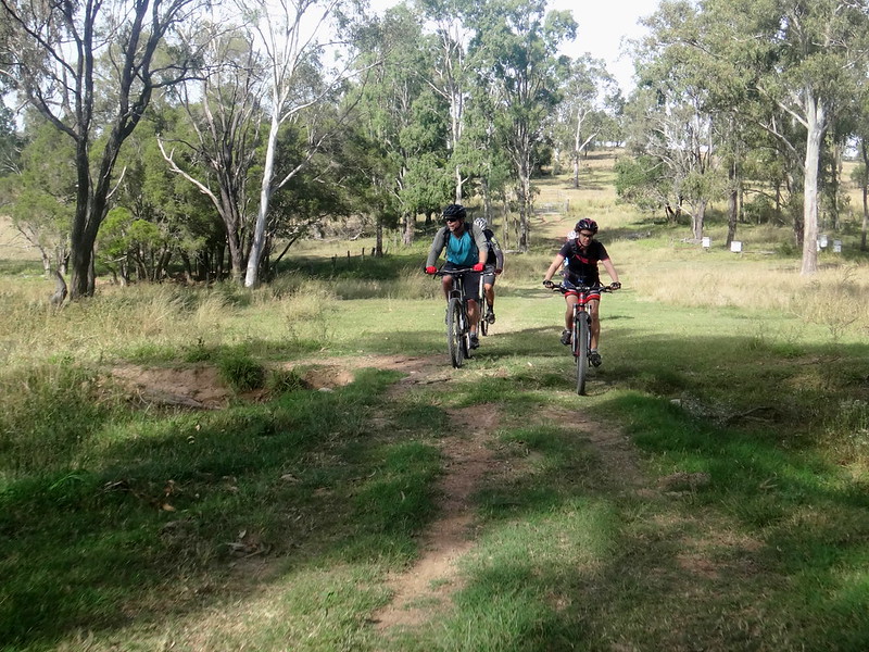
Whiteway “Road” was barely visible through the long grass. While mountain bikers and horse riders love these sorts of tracks, it’s not the sort of place you’d try to drive a car.
Eventually the tall grass gave way to wide open spaces between farm paddocks near Forest Hill. Wisps of cloud adorned the vaulted blue sky of late autumn.
Perfect.
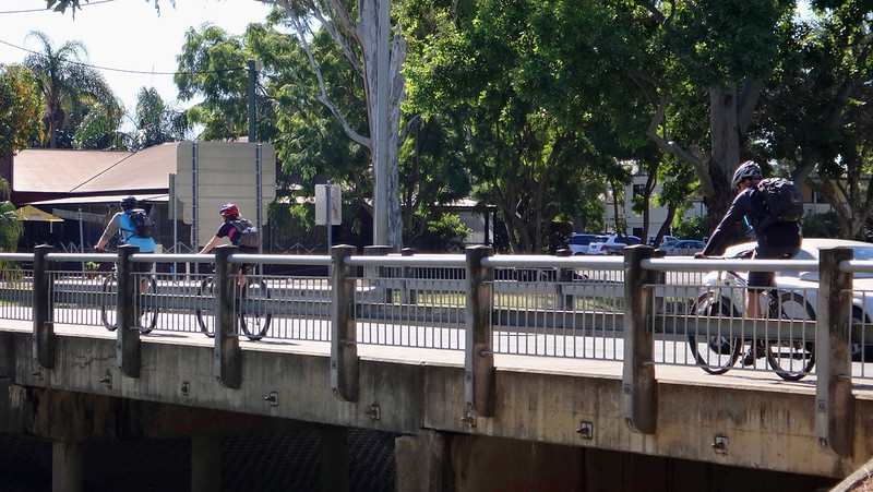
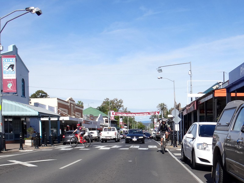
After a quick pedal along a busy road, we rolled back into Laidley for an early lunch.
On our more remote rides, it’s necessary to bring everything: including lunch and extra water. Today was not one of those days. We appreciated the luxury of the local cafe.
Feeling lethargic from our lunch, we lazily followed the railway track out of town.
Trains lumber along this railway line for hundreds of kilometres to and from the coal fields of Western Queensland. It passes through a tunnel under the Little Liverpool Range.
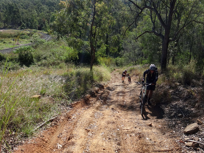
Although the train enjoys a nice easy gradient, the track beside it was steep in parts. We had to walk one or two sections.
Becca preferred to ride those sections rather than walk them.
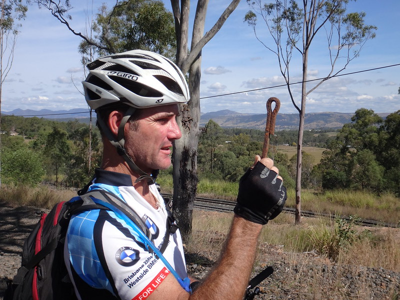
Jason and I joked about this oddly shaped pin – seemingly designed for some railway-related purpose that we couldn’t work out.
As if on cue, a coal train rolled past. I raised my fist above my head and pulled it down a couple of times while yelling “blow your horn!” Drivers at Railway University must learn these hand signals because the driver obligingly gave us a “toot” as he passed us. I chuckled manically to myself.
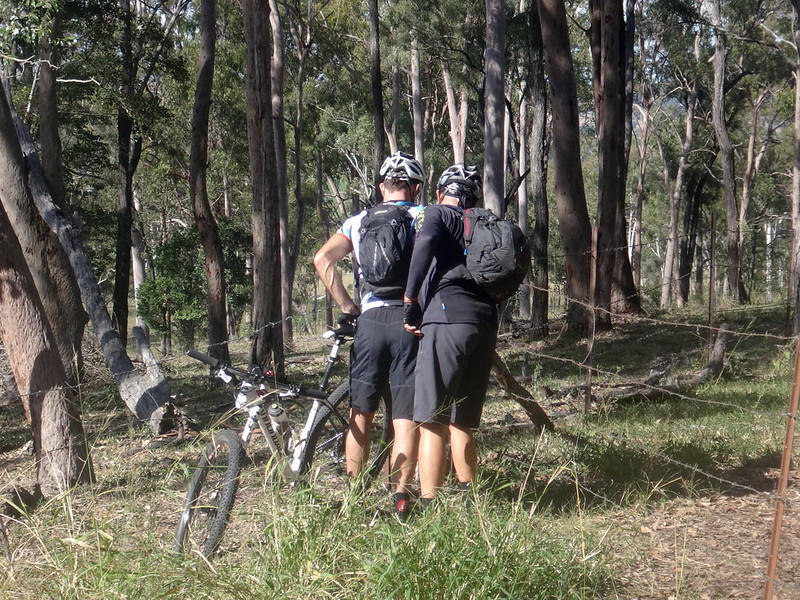
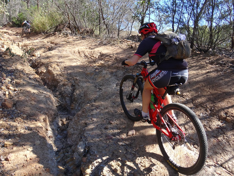
As we followed the road reserve up the hill the terrain grew rough and difficult to follow.
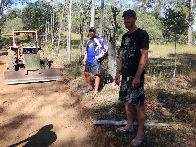
We passed a couple of blokes in a field next to us, who had graded a perfect looking road through their property. It looked very inviting, so we sheepishly asked them if we could jump the fence and ride on their nice track instead. Brendan and David were amused to see us, and kindly let us ride on their side of the fence to the top of the hill. Thanks guys!
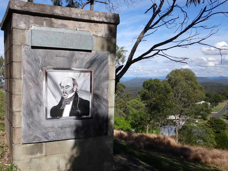
At the top of the hill we stopped at “Cunninghams Crest” lookout.
Allan Cunningham climbed this peak in 1829, a year after his journey to Cunningham’s Gap, and caught a glimpse of the wide plain to the west which he named “Laidley’s Plains”.
I’m sure he looked to the south while he was there, recalling his expedition the year before.
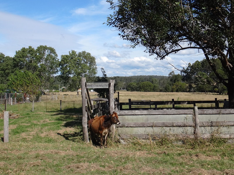
From the lookout we followed a steep dirt track down the hill back into Grandchester.
A calf eyed us curiously as we rode past.
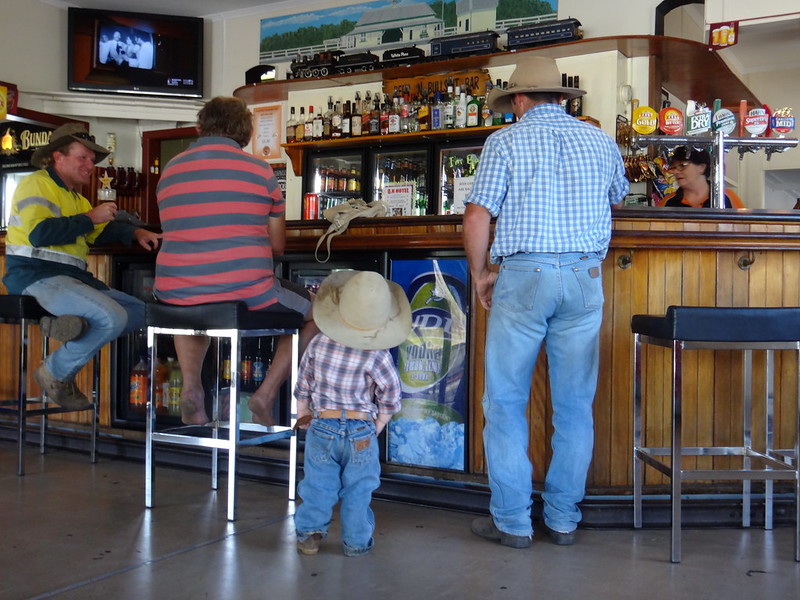
We finished our ride earlier than expected and enjoyed a cool drink at the local pub.
We rode a total of 48km in five hours including several leisurely breaks.
We climbed a total of 940 metres in ascent, and I burned 2,100 kcal.
Physically, this is a reasonably easy ride, but it has one or two steep sections with some moderately challenging descents.
I’ll rate it 6.5 out of 10 on the tough-o-meter – BUT take care on the downhill bits!
Thanks Becca, Paul, Jason R and Jason G for a fun day out.