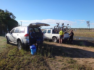
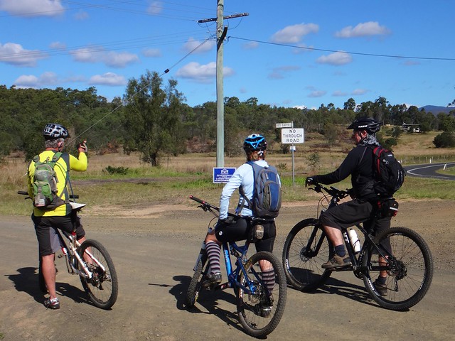
Every year in September, hundreds of Australia’s mountain biking elite take part in “The Epic” – a gruelling race from Hidden Vale Adventure Park at Grandchester, over the Little Liverpool Range to Mulgowie, and then back over the range to the starting point.
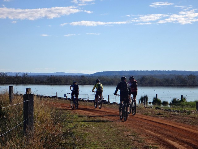
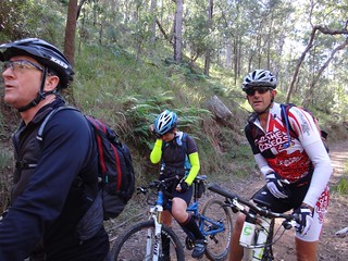
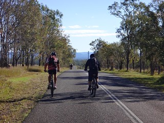
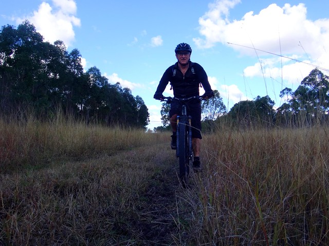
Today we wanted to ride the race route in reverse, at a more sedate pace, and enjoy the views along the way.
I usually end up at the back of the pack when exploring with my riding buddies, but today I was nursing a painful calf injury which slowed me down a bit more. Strangely, it was much more painful for me to walk than to ride, so I found myself pedalling harder on some of the hills to avoid the discomfort of having to push the bike up the hill.
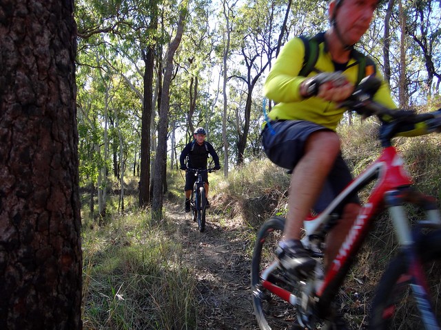
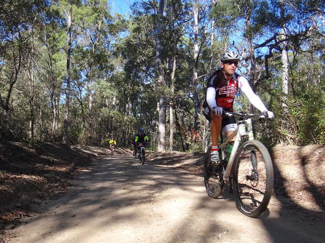
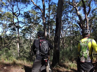
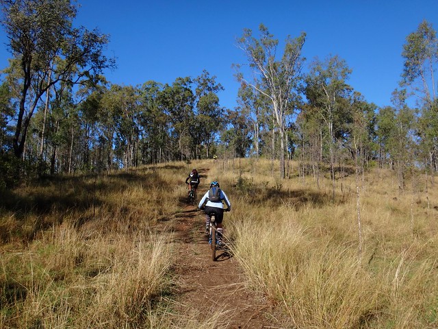
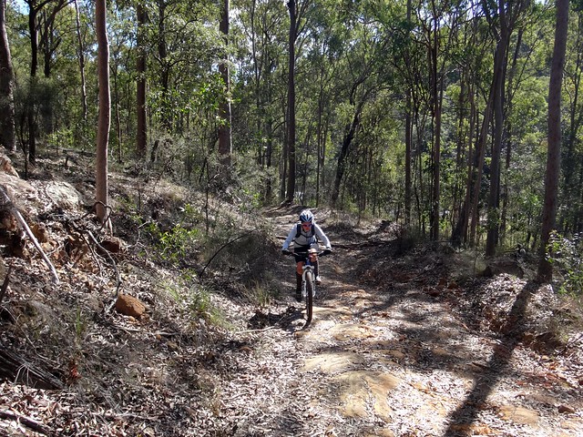
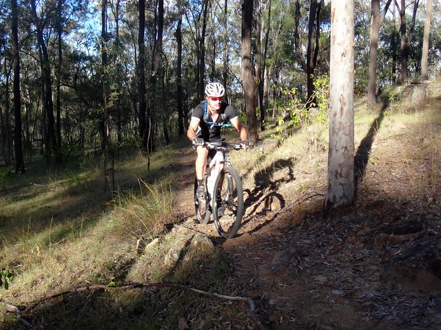
As we rode higher up the Little Liverpool Range, the tracks became narrower, steeper and rougher. Rain and cattle made the tracks very muddy, then the sun baked the mud dry. This left a rough, crusty surface with rocks protruding through at the most inopportune places. Riding this section required a lot of concentration. I fell off a couple of times and head-butted a rock. Thankfully the rock was unharmed.
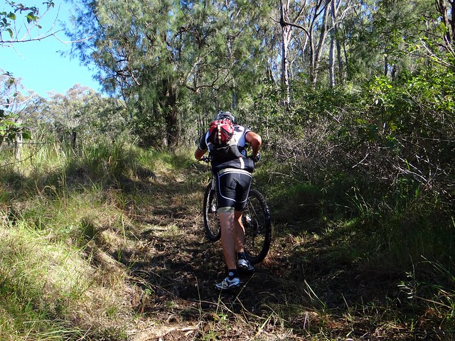
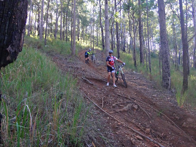
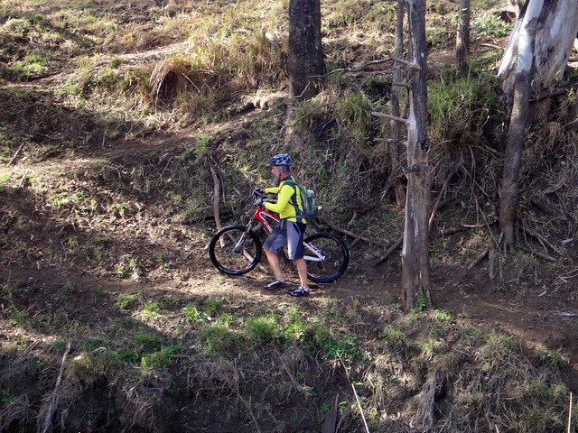
The Razorback trail became even steeper as we got closer to the top. Normally, during the Epic, racers would come rushing down this hill, with less experienced riders crashing, and bodies lying all over the place while the elite riders survived the treacherous decent. Today we had to push up this hill which was hard work. Darb took pity on me, and pushed my bike up the last part of the hill whilst I hobbled up, continually thanking him as I went.

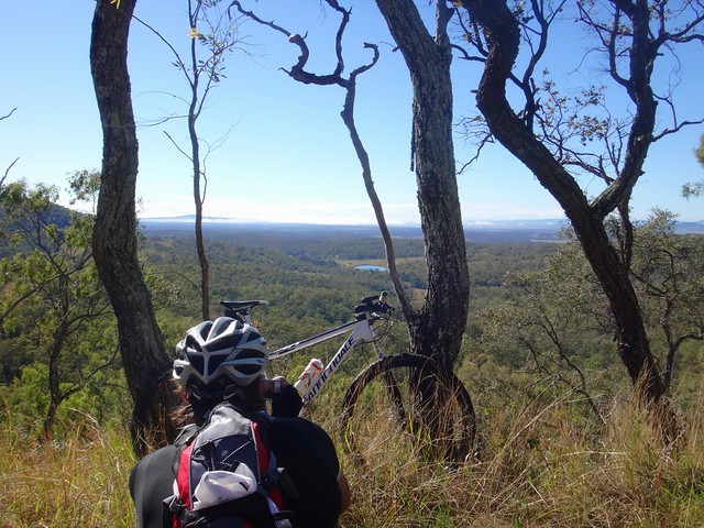

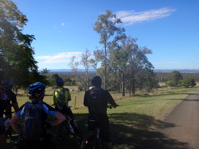
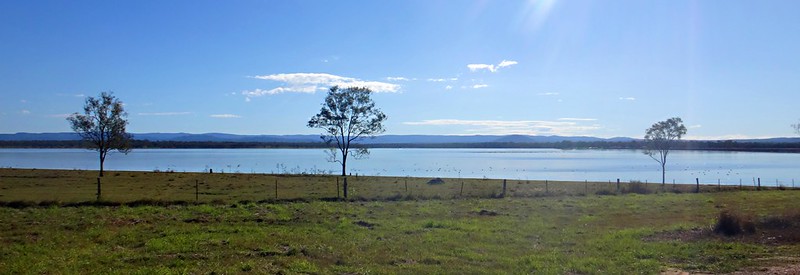
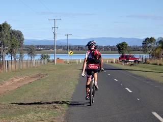
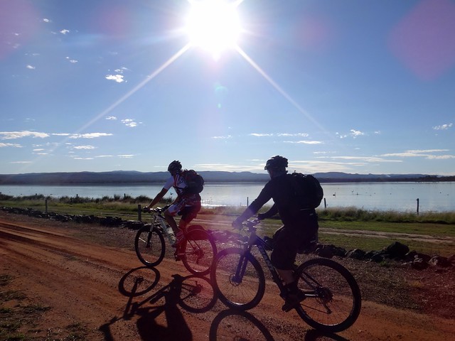
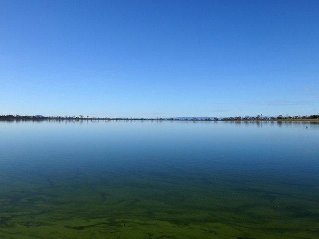
The views at the top were stunning. We could see for miles in every direction. The deep blue sky arched over us, while the fog still covered the Bremer Valley to the east, and the water sparkled in one of the distant Hidden Vale dams. Why would you be anywhere else on a day like this?
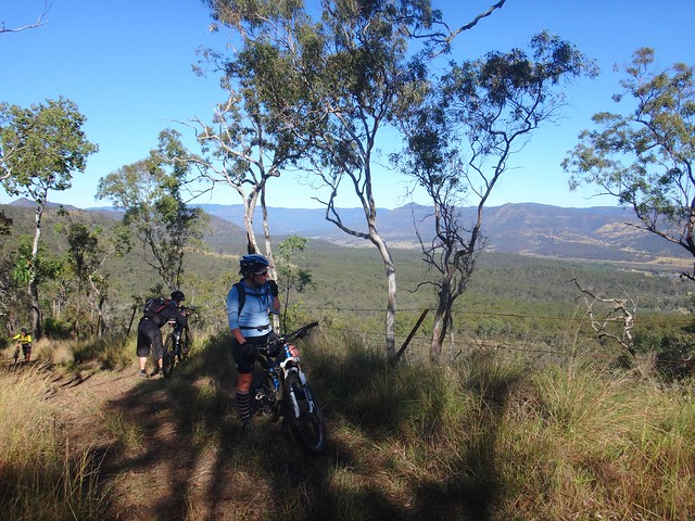
We found ourselves frequently stopping to soak up the views…
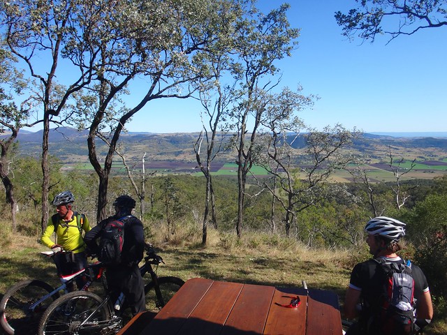
… and eventually decided to take a snack break at a remote picnic table that seemed to have been placed there for the sole purpose of enjoying the beautiful vista.

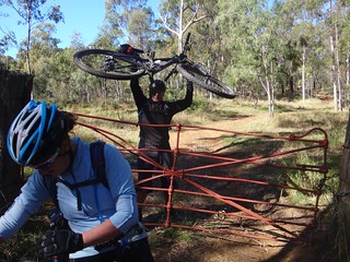
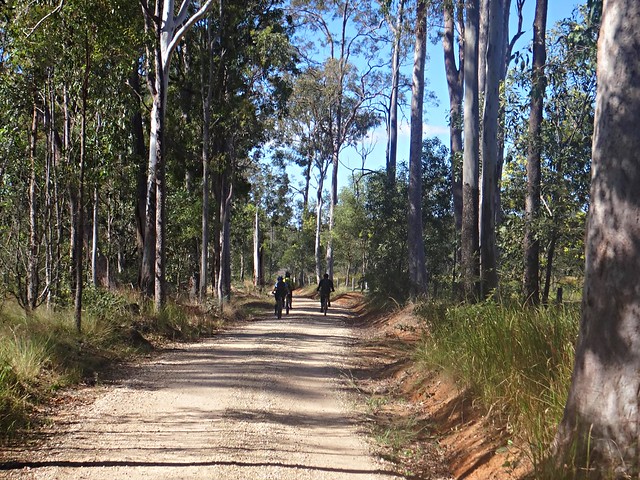
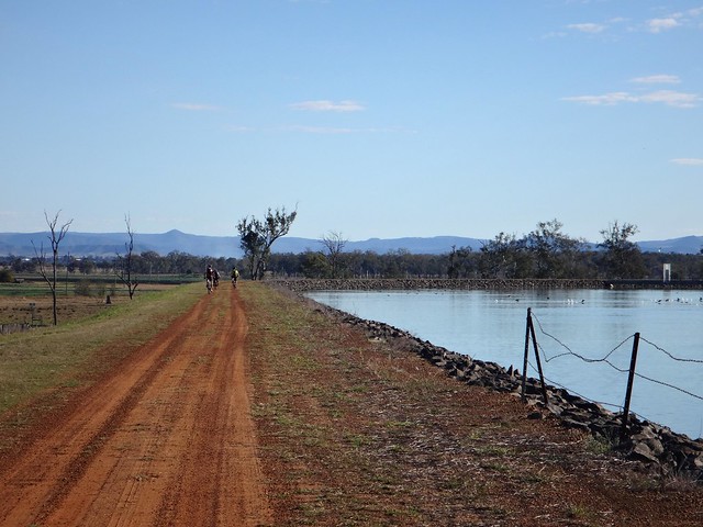
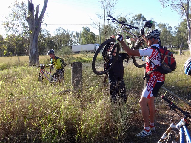
Eventually we reached the western boundary of the Hidden Vale property, at the top of Brown Springs Road. Scaling the locked gate, we were now officially in the Lockyer Valley, at the top of a long fast gravel road which descended into Mulgowie.
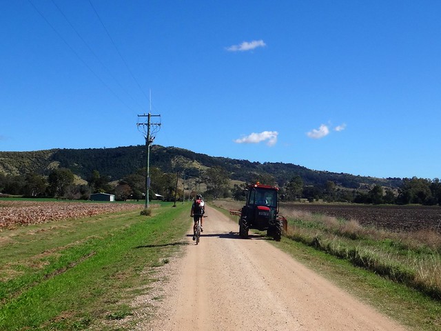
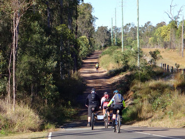
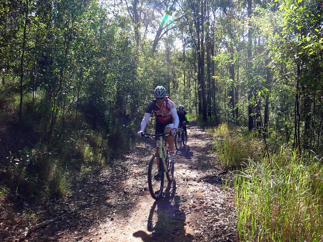
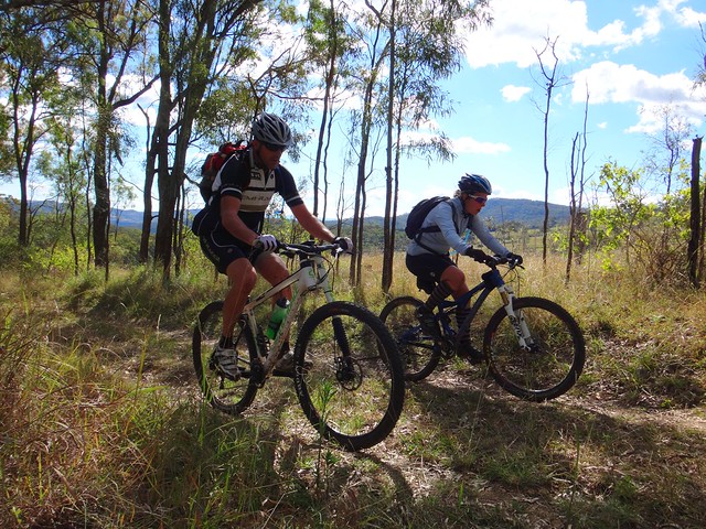
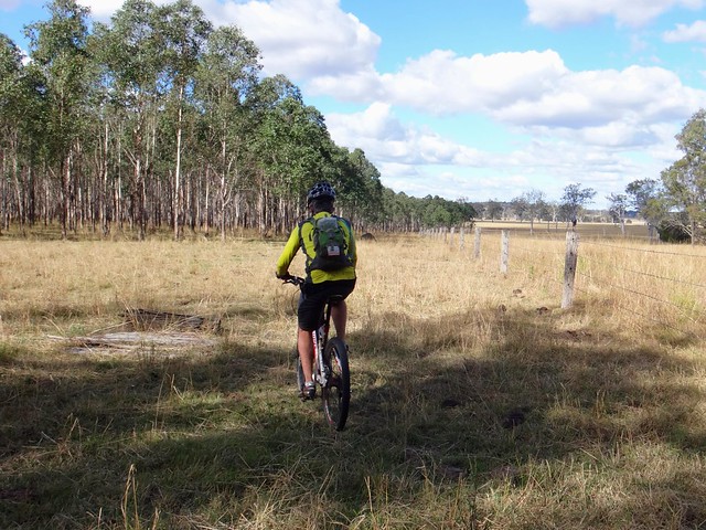
After the intense ups and downs of the Razorback trail, it was relaxing to roll sedately through the surrounding famrland.
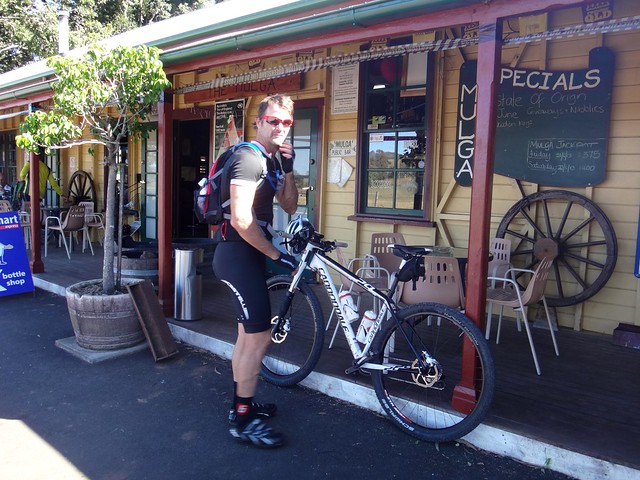
The food at the Mulga Pub was delicious. We propped the bikes up outside and chilled out for an hour. One of the blokes in the pub came outside and told us he was thinking of racing in The Epic this year. As I relaxed in the winter sun, I thought to myself – “Why would you race through a lovely place like this”. I’d like to come back to The Mulga Pub again sometime.
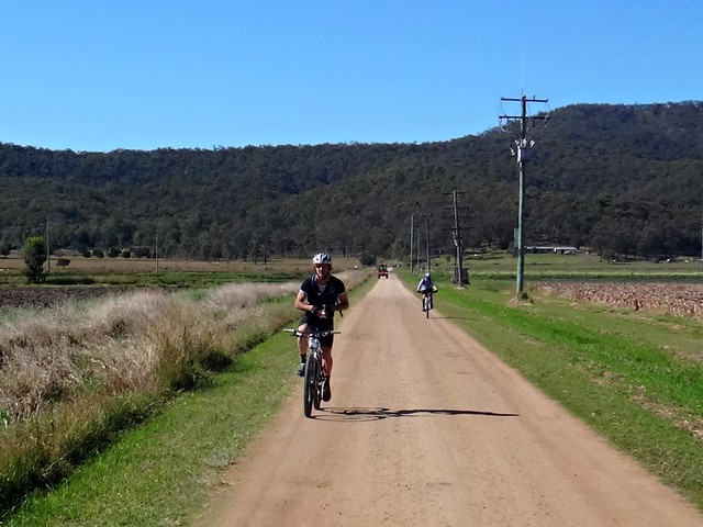
After lunch we took it easy for a few km as we made our way south along Mulgowie Road towards Red Gap Road. Red Gap is one of the few passes over the Little Liverpool Range. We had another fun climb ahead.
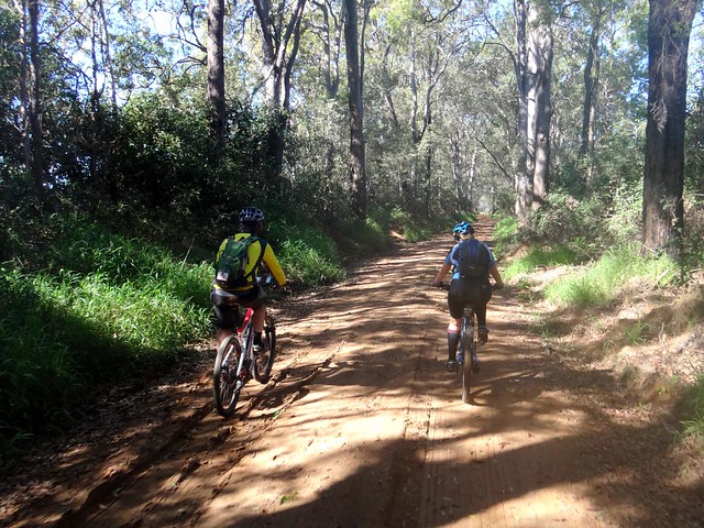
The smooth gravel road gave way to steeper more technical trails…
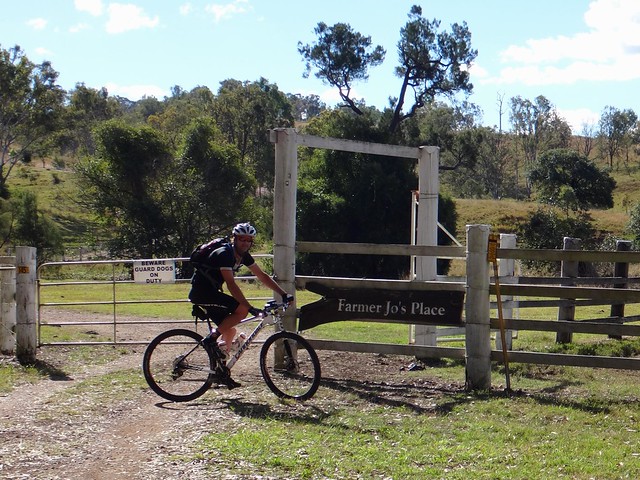
After reaching the top, we enjoyed another fast and bumpy downhill run along the eastern part of Red Gap Road. Eventually we stopped outside “Farmer Jo’s Place” to re-group. I could hear dogs barking in the distance, and then noticed the warning sign: Beware. Guard Dogs on Duty. The dogs were coming for us.
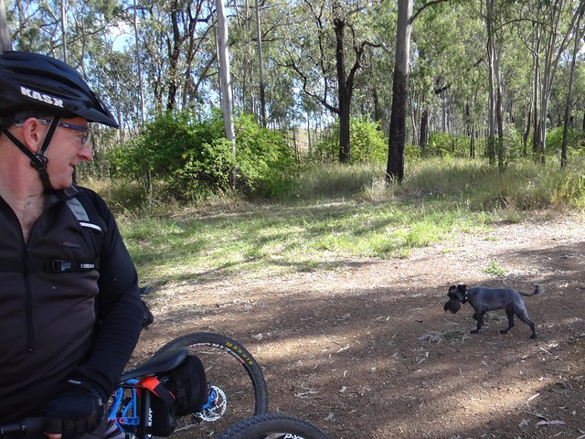
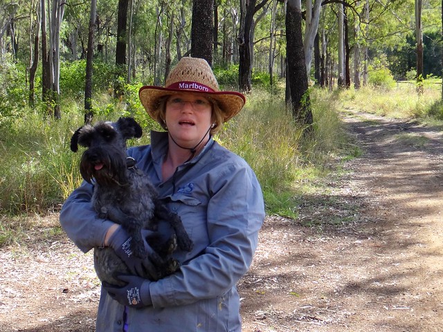
That is the cutest guard dog I have ever met. Farmer Jo introduced herself, and her dogs. I love the chance encounters we often have with interesting people (and animals) on our rides!
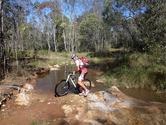
In order to link this ride up with previous rides on my Ride Network Map, everyone agreed to take a short detour south, so that we could meet up with Hodges Road – part of the Bicentennial National Trail, east of Edwards Gap. From there we thought we’d follow the Hodges Road reserve eastwards through a Eucalyptus plantation.
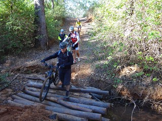
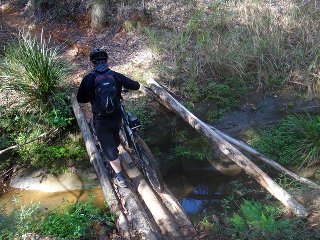
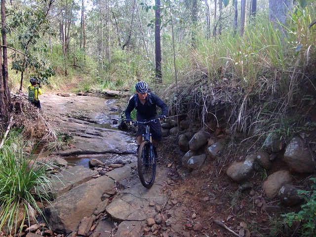
This involved crossing a few creeks which Eric boldly traversed while I stood prevaricating on the banks, wondering how I’d keep my feet dry.

The grass was high between the trees, but we were able to follow the paths worn by cattle. Cows have an uncanny knack of picking the most convenient trail through rough country. They follow the same trail continuously, until a nice smooth single track is blazed through the grass. So if you ever ride through cattle country, remember the adage – Follow the cattle, but avoid the cow-pats.
Our little detour eventually brought us to Franklin Vale Road – another enjoyable road reserve which is impassable to cars, but perfect for mountain bikes.
And this brought us back to the Hidden Vale property, and its almost endless network of single tracks.
I got a bit carried away. I rocketed through the winding trails, boldly leaping from drop-offs, flying over rocks. This was fun… until I crashed. After head-butting a tree, I lay on my back with my head pointing down the hill, feet uphill, bike on top of me, and stars orbiting my head.
“IS THE BIKE OK???” I yelled.
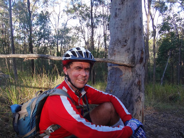
It was. And so was I, after Jason helped me up, then took a photo of me to record the event.
“Today is Saturday, isn’t it?” I said, trying to prove to Jason that I was still “with it”, and capable of finishing the ride.
With the winter sun lowering towards the western horizon, we made our way back to Hidden Vale via some lazy tracks.
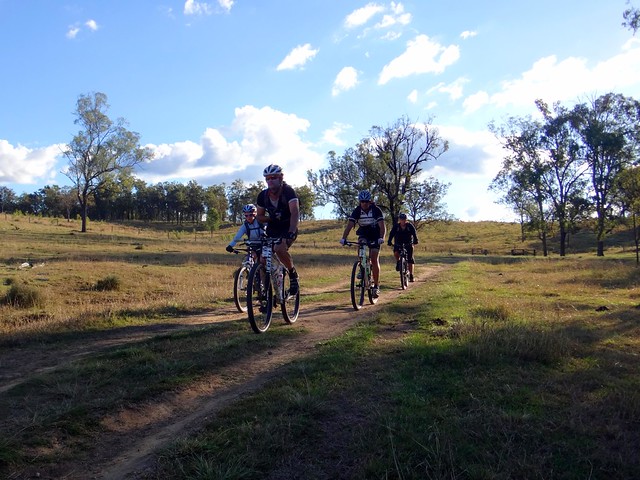
What an amazing day. Thanks so much to Rebecca, Eric, Darb, Paul and Jason for a fun ride.
Eric thinks that this was an easy ride. He rated it 7 out of 10. I laughed at him. For mortals like me, this rates at least 8 and a half out of 10 on the tough-o-meter. Perhaps that has something to do with my injury. This would be a tough ride in Summer, so it’s best done in the cooler, drier months.
And to anyone who has successfully completed “The Epic” – well done!