Please note: you can find a more up to date version of this blog at http://blog.neilennis.com

Sunday, November 14, 2010

Mountains to Mangroves

Read More

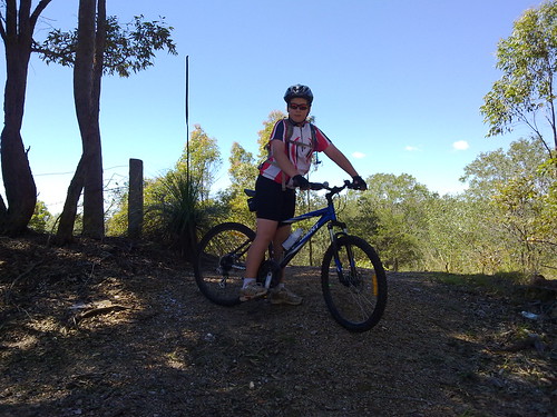
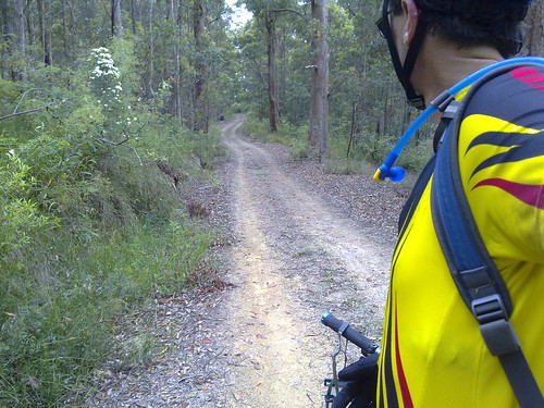
I did a pretty long ride today. From our place I headed out to Samford, then up into the D’Aguilar Range to Mt Nebo, down some beautiful dirt tracks to The Gap, then along some cycle-ways to the Moreton Bay Bike way through the mangroves in the Boondall Wetlands, and back home. This was a solo ride. I’ve done similar distances with friends before, but this was the first time I did it by myself, which meant I rode a lot more conservatively than if I was in a group.


That’s not to say I didn’t have setbacks. I got a flat near Samford, which wouldn’t have normally been a problem. But I have tubeless tyres. When they go flat on the road, you have to stick a tube in. But my bike has thick rims, and the tube stem didn’t poke out far enough for me to lock the pump on it. Eventually I figured out if I screwed on a presta / schraeder adapter, I could inflate the tyre through that instead. But it took me three-quarters of an hour to figure out how to do it. (Next time it will take 10 minutes).


South Boundary Road

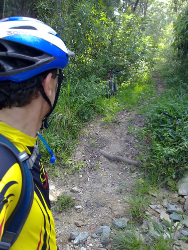
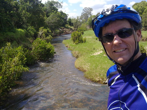
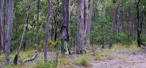
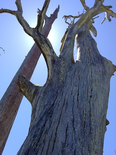
South Boundary Road is a beautiful track which runs from Mount Nebo to The Gap and passes through lush rainforest and open eucalypt bush land. On any weekend it’s a free-way for mountain bikers :)


Which way?

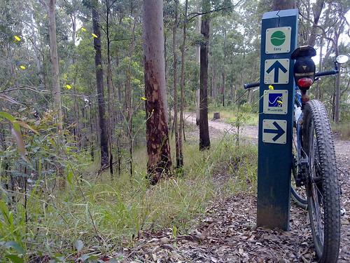
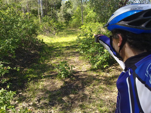
Lots of trails branch out from South Boundary Road. Even with a GPS I missed one turn – the same turn I missed last time. Thankfully there are lots of signposts to show the way.


Mt Coot-tha Forest

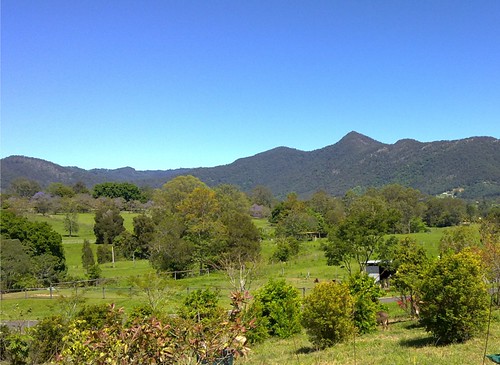
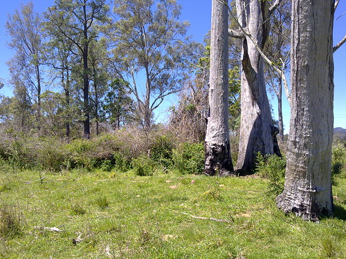
The southern end of Brisbane Forest Park borders Mt Coot-tha forest, which has been set aside by the Brisbane City Council.


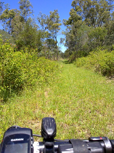
It has miles of trails to ride as well.


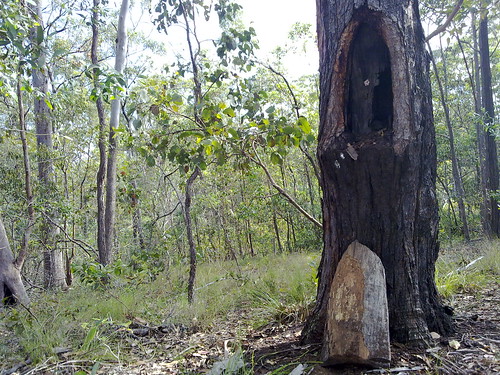
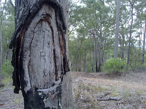
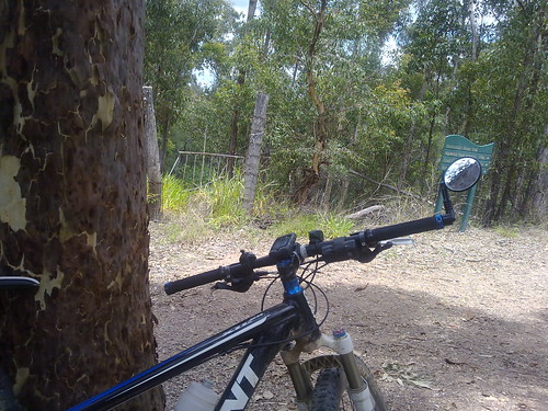
I couldn’t resist leaning the bike up against a large spotted gum and taking a picture of this old wrought iron gate in the middle of nowhere.


Bikeways

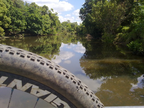
After leaving the forests of the D’Aguilar Range I headed east towards the coast.


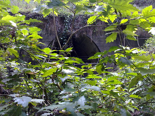
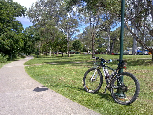
Thankfully most of the way is via bike ways which go through the many parks that line the creeks on their way to the sea.


Kalinga Park is usually full of people enjoying a picnic lunch on a Saturday. Today was no exception


All up, 112km with 1750m of vertical ascent. 5,800 kcal burned. (That’s a lot of Gatorade :) ).


Friday, November 12, 2010

Burke and Wills were here

Read More

The carving says “B&W 70 1860″. Burke and Wills passed this way in 1860 on their way from Melbourne to the Gulf Country. They carved their initials on this tree as a survey marker.


Amazing how slowly a tree grows. And amazing to touch something of such national significance. About 100 miles south of here is another tree, the “Dig Tree”. Google it for more info. It’s an amazing story.


This photo was taken in 1993 when I visited Birdsville with my mate, Brian.


Thursday, November 11, 2010

Mosquito Creek

Read More

Mosquito Creek Crossing

One of my favourite spots on the Dunlop Lane / Smiths Road loop is the Mosquito Creek crossing. It’s in the middle of several km of quiet bushland trails. When I first rode it, I had to dismount to complete the crossing, but these days I just zip across it on the bike and always feel smug about it :)


Survey Tree, Kurwongbah

Another survey tree. It’s amazing how once you know what to look for, these trees just seem to pop up everywhere.


Surveyors “blazed” Iron Bark Eucalypts like this one, for use as survey markers, because the species is very slow growing. So a mark will remain relatively unchanged for decades. This one is probably almost 100 years old. I’ll update when I find out more info from our wonderful local history librarian.


Moo?

A camel thinks she’s part of the herd. I stopped the bike and asked the camel if I could take her picture. The only reply I got was a very low grumble. Camels have attitude!


Saturday, October 30, 2010

The Bat Cave

Read More

The Bat Cave

The Bat Cave

The Bat Cave

North of Samford, the railway line passes through Yugar. This is the only place on the line where a tunnel was necessary to pass under the roadway.


After the railway line was closed, this gully was used as a rubbish dump, but in 1983 the University of Queensland acquired the site to study the bats that now live in the tunnel.


Today my only other companion was a large hungry Brown Snake who was obviously looking for some bat-flavored fast food take-away!


Thursday, October 28, 2010

North Pine River

Read More

Just a couple of quick photos of the river this morning during my ride.


Sometimes I need to remind myself that I do live in paradise!


North Pine River

North Pine River


Friday, October 22, 2010

Gavan Newman was here

Read More

Survey Tree - Gavan Newman

One morning while I was zooming down Clear Mountain Road on my bicycle at about 70km/h this strange looking tree caught my attention. The next day I came back to have a closer look and discovered it had been “blazed” by a surveyor. Surveyors often used to mark survey points by cutting out a semi-circular patch on the bark, and emblazoning it with survey symbol.


My friend, and local historian, Leith Barter informed me that the tree was recorded on a survey by Gavan Newman in 1938. It was either blazed by him then, or during an earlier survey in 1920.


Gavan Newman was born in Caboolture in 1888 and was registered as a surveyor from 1914 to 1970. In other words he was a surveyor for 56 years.


If you’re interested there’s a copy of part of his original survey plan here:

gavan-newman-survey-1938


In history we often think of explorers embarking on exciting voyages of discovery, but in Australia’s past, much of the “exploration” was done by men of maps – surveyors like Newman:


John Oxley was a surveyor in the Royal Navy. James Cook and Matthew Flinders were arguably the best cartographers of their age.


But if you ever stumble across a blazed survey tree, spare a thought for the unsung explorers like Gavan Newman.

Survey Tree - Gavan Newman


View larger map


Sunday, October 17, 2010

Samsonvale Railway

Read More

I rode out to Mt Samson and Samsonvale again this morning to continue my search for any remnants of the old Railway line, and to check out the Samsonvale Bora Ring.

Follow that train!

The railway line heads north from Mount Samson to Samsonvale. Unfortunately it disappears into the lake now. This is the view looking South towards Mount Samson station. The embankments are still evident.


Mount Samson, D'Aguilar Ranges

South of Mt Samson village the railway line runs under Kunde’s Road. This is the view west towards the unmistakable pyramid shape of Mount Samson in the D’Aguilar ranges.


Towards Kobble

The line continues north of Samsonvale through Gold’s Scrub towards Kobble.


Ancient Sentinel

This dead tree marks the site of the Samsonvale Bora Ring.


Samsonvale Bora Ring

The Samsonvale Bora Ring was an ancient, sacred, ceremonial site used by the Turrbal Aborigines for corroborees and initiation ceremonies. It stands less than a hundred metres from a busy road and is easy to see, although I’m sure most of the people driving by would have no idea about the important events that have transpired here for thousands years.


View Larger Map


Note: My GPS had a glitch between Mt Samson and Samsonvale so I wasn’t able to record those tracks.


Saturday, October 16, 2010

Mount Samson Railway

Read More

As part of my project to explore the railway line west of lake Samsonvale, Harrison and I rode out to the small village of Mount Samson this morning.


There was a small railway station in the town until 1955 which provided transport to the city and allowed local farmers to get their produce to market.


No train in sight

(A photo of the old Railway Station from the Samford Historical museum)

Harrison stands on the ruins of Mt Samson railway station. The railway line would have passed by on the right of the picture.


Mount Samson Railway

The railway line passed under Kunde’s Road. The cut-away is visible as the line approaches the roadway.


Riding to Mount Samson

Harrison takes a break on the ride out to Mount Samson.


Saturday, October 09, 2010

Harrisons Pocket

Read More


harrisonspocketinset


It was raining heavily this morning, so I decided to postpone my trip out to the old Ferny Grove to Dayboro railway, and instead visit another “place that is no more”.


Harrisons Pocket once was a thriving little farming community almost 10km directly west of Petrie. In this area, the North Pine River twisted around almost three quarters of a circle forming a “pocket”, and Harrisons pocket nestled along the banks of the river at this point.


It had a school, formerly known as Harrisons Pocket Provisional School, then State School, and a Post and Telegraph Office.


You didn’t really drive through, because it was located in a natural cul-de-sac in the river. The way out was over a shallow part of the river about 3km south east, called “Gordon’s Crossing”. This was one of the earliest crossings of the North Pine River, predating Youngs Crossing by at least twenty years. Incidentally, if you’ve ever been on Gordons Crossing Road, now you know what it’s named after.


Sadly, these places are now inundated by the North Pine dam. You can get pretty close by riding through some scrubby bushland along some fire roads, which is what Harrison and I did today in the pouring rain. (I think he was curious about a place that shared the same name as him).


He found the ride very difficult, especially on some of the muddy tracks. To his credit, he persevered and we made it back home safely.


In the map below you can see the original course (in blue) of the North Pine River before it was dammed. The red track is the path that Harrison and I took. You can click on some of the markers on the map to see the location of the post office, the school and Gordon’s Crossing.


View Larger Map


Thursday, October 07, 2010

Ghost Train

Read More


View Larger Map

From 1920 to 1955 there used to be a railway line between Ferny Grove and Dayboro. It ran via Camp Mountain, Samford, west of present day Lake Samsonvale and north to a terminus at Dayboro.


This line was the scene of Queensland’s worst rail disaster in 1947, where 16 people were killed and 38 were injured. Even today it ranks as Australia’s second worst rail tragedy after Granville.


There’s not much of a trace of the old line left today except for a short rail-trail between Ferny Grove and Samford, and a Tunnel (affectionately called “The Bat Cave”) which is now used by Queensland University to research bats.


I’ve included the map here, and a link to the KML file here because I intend to visit some of the places on the map over the next few weeks to see if I can find any clues. Also, the map / kml might come in handy for anyone else interested in exploring the area.


I’ve included some scanned copies of old maps I used to plot the route of the line. Many thanks to local historian, Leith Barter, for helping me locate the old maps and providing copies.

1955 Military Map - Part 11955 Military Map - Part 21930s Cadastral Map