Please note: you can find a more up to date version of this blog at http://blog.neilennis.com

Wednesday, January 29, 2014

Man vs Mountain

Read More

Men of Steel


We had the day off on Monday (it was a public holiday) so my friend Neil Bang decided to organize a group ride with some friends from MTBDirt.com.


Our route would take us from familiar single tracks at Bunyaville out to some steep and challinging fire trails at Clear Mountain.


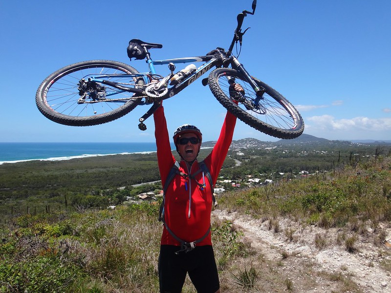
It was going to be hard work.


Jurassic Car ParkBunyaville


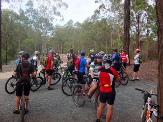
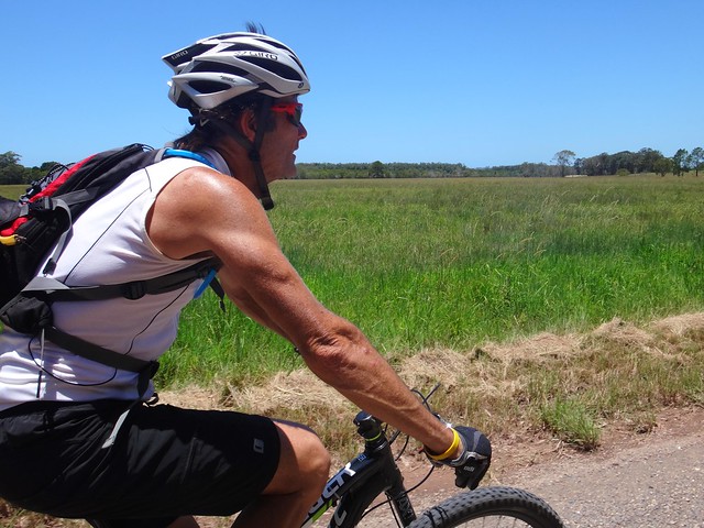
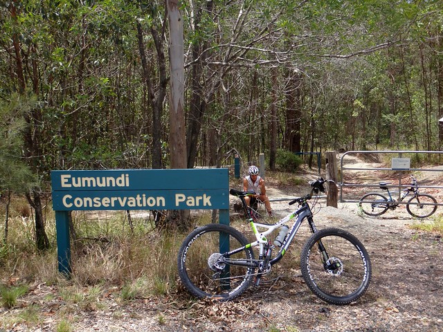
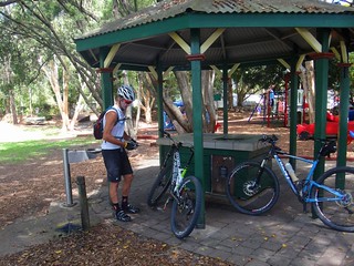
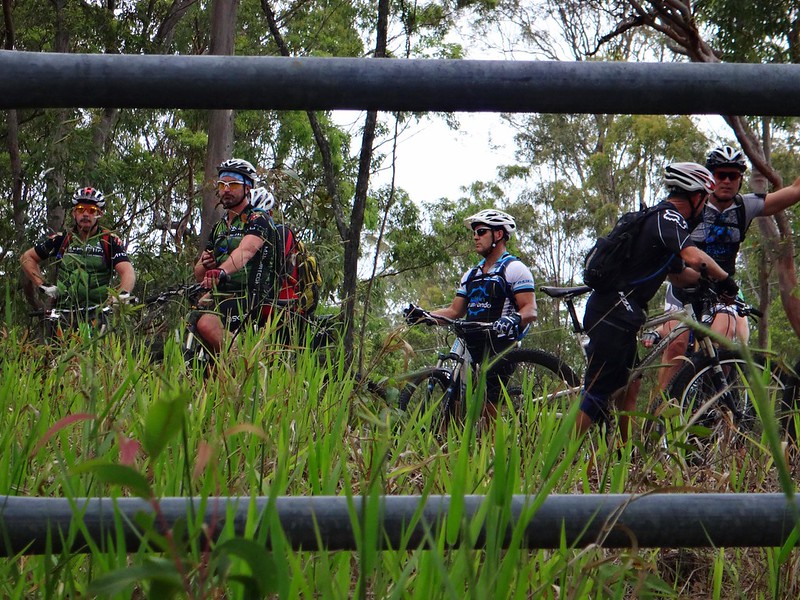
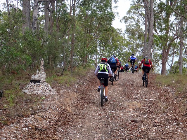
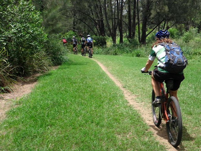
It’s always exciting when a large group of mountain bikers set out on an adventure. This morning about 16 of us set off from the “Jurassic” trailhead at Bunyaville.


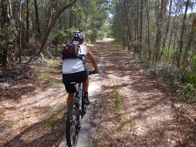
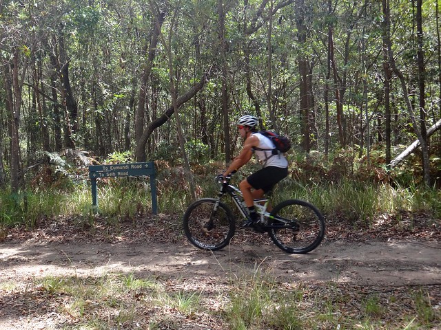
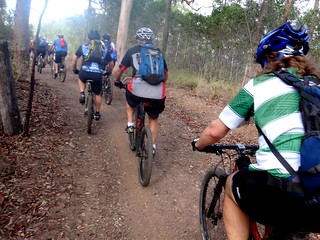
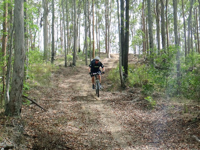
We followed the “Waynes World” and “Minivan” tracks out of the state forest, heading towards the South Pine River.


South Pine River Trail

South Pine River Trail


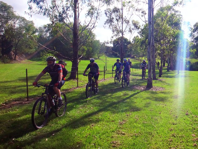
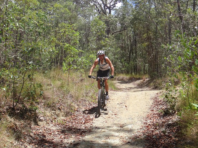
The trail snakes westward for about 2 or 3 kilometres, grassy green tracks following the river. It’s a pleasant ride, although sometimes the grass is a bit high, which occasionally makes it difficult to see the track.


Church Road

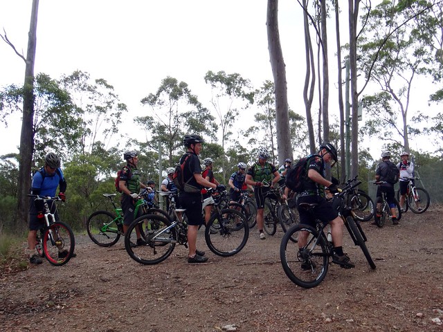
We often regrouped to make sure no one was left behind.


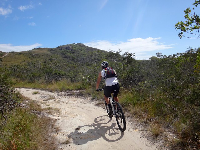
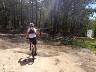
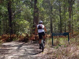
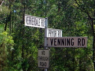
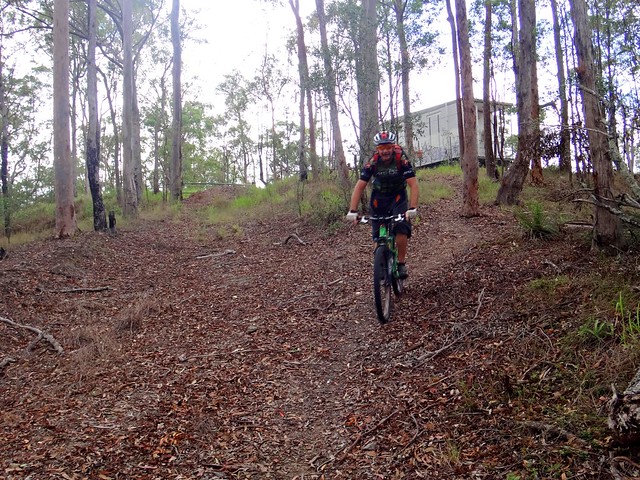
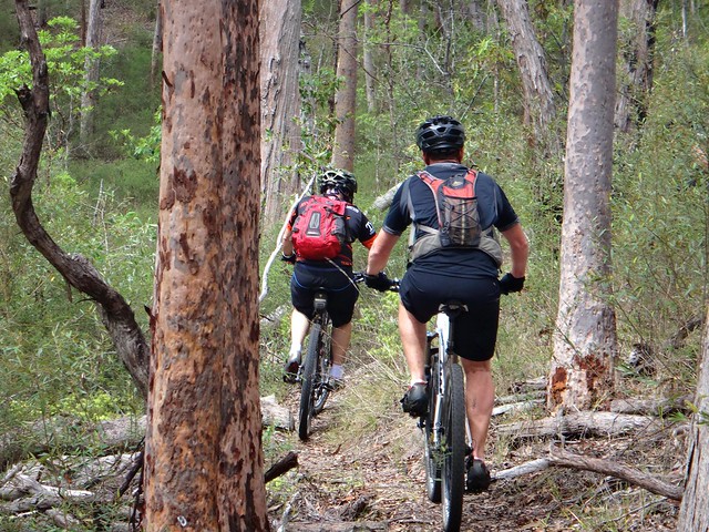
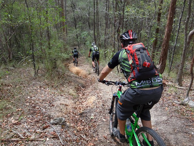
Our track followed Church Road before entering a dirt trail adjacent to Eatons Crossing Road. This steep dirt track took us all the way to Clear Mountain.


Cashs Road

Neil Bang seemed happy to be riding his new Carbon Fibre “Pivot” bike on the trails. “Too happy”, thought someone, who decided to play a joke on him…


Pink Valve Caps


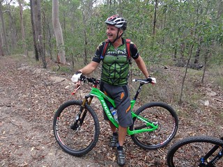
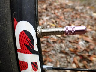
“Ok. Which one of you B*@$%@#’s stole my valve caps????”


Some one had taken Neil’s tough looking “Hand Grenade” shaped valve caps, and replaced them with pink feminine ones.


I don’t think Neil felt that the pink matched the colors on his bike.


I thought they added a pretty touch.


Riding past the


The playful banter came in handy. The trails were steep and it was a good excuse to stop and catch our breath while discussing the merit of girlie accessories on manly bikes.


Creek Crossing

Dean

DaveRob


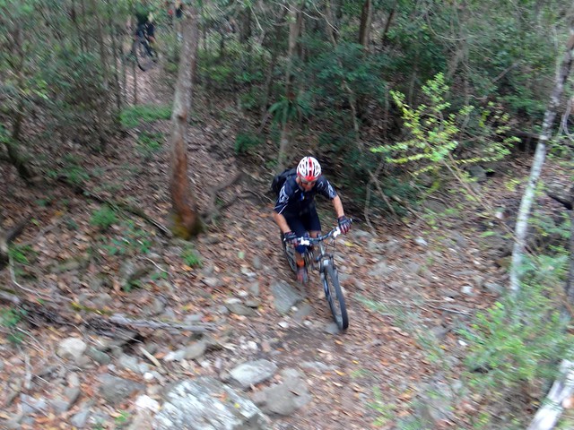
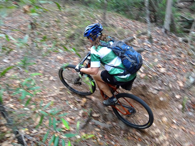
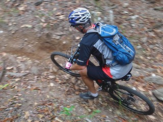
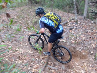
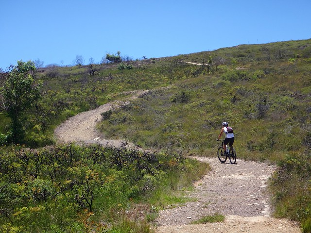
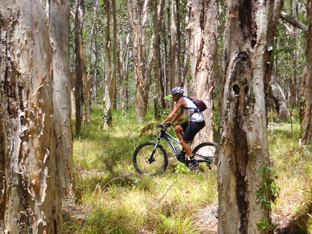
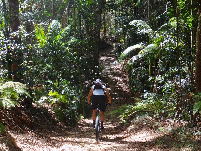
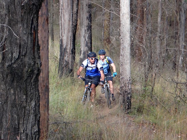
The steep trails gave way to some narrow single tracks which crossed a couple of challenging creek beds.


I ride these tracks about once a week. I was surprised how much better than I these guys were at nailing the technical sections.


Neil B

Trail Head


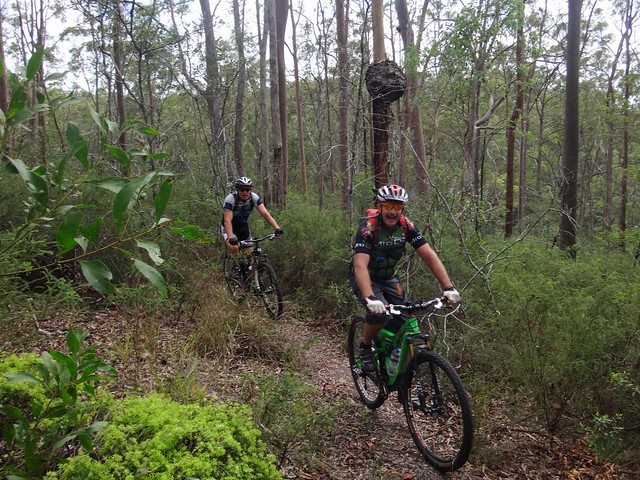
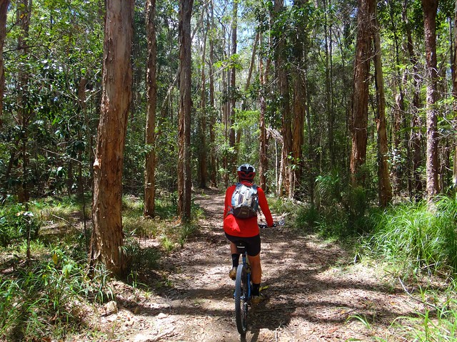
Despite the technical challenges, it’s still a beautiful forest to ride in.


WayneMike


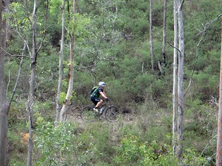
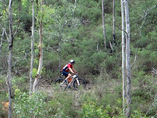
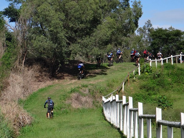
There’s not much single track at Clear Mountain, but it’s fun to ride and demands a lot of concentration.


Howard

Gnarly Descent


The steep descents demand a lot of concentration too.


I initially baulked at riding down this rutted ravine, but after watching a few friends do it, I decided to give it a go… and survived!


Hike A Bike


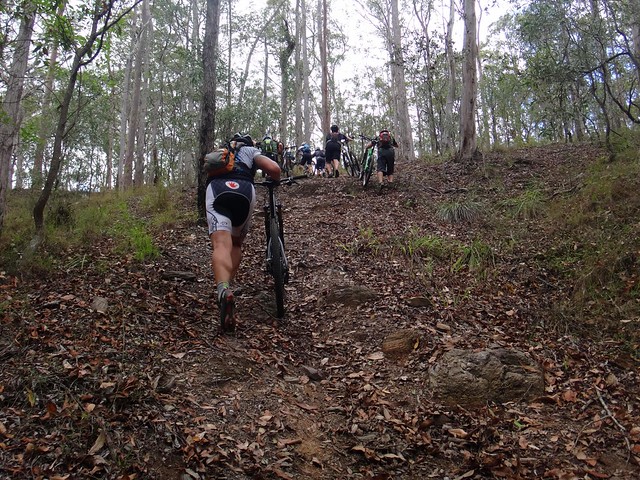
Perhaps the cruelest parts of Clear Mountain are the hills that are too steep to ride, and almost too steep to even push a bike up.


Bunya Crossing


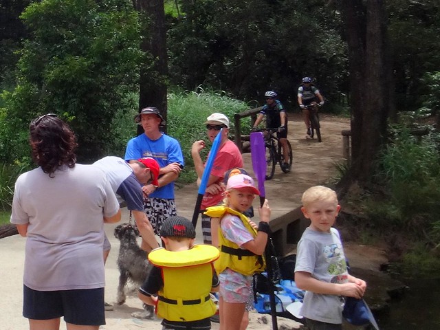
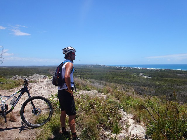
On our way back we followed the South Pine River again, passing happy families enjoying the water.


South Pine River Trail


A few riders dropped off towards the end. It was a relief to nearing the end.


Specs


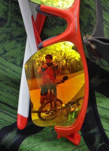
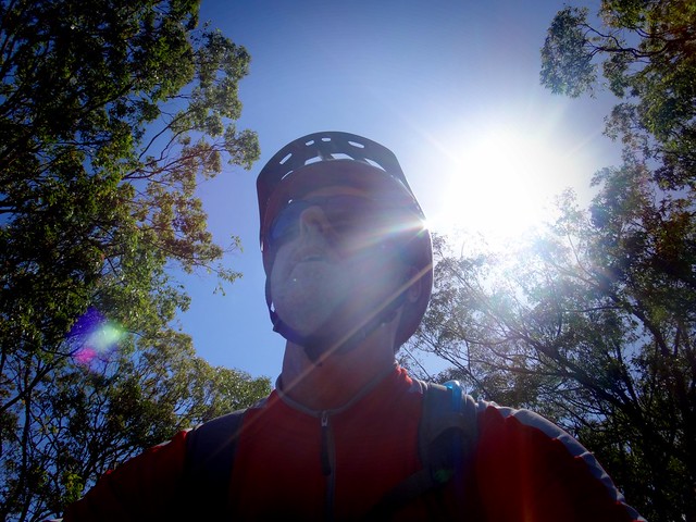
While I thanked Neil Bang for organizing the ride, I snuck in this quick selfie of my reflection in his sun glasses.


All up we rode about 39km with just under 1,200 metres of ascent.


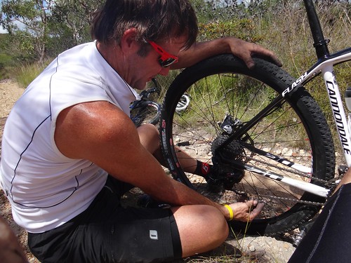
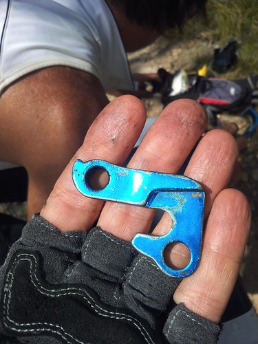
I burned 2,500 kcal in about 5 hours, including two hours of stops for rest and repairs (a few of us got flat tyres). I used up 3 litres of water, running dry just as we finished.


Even though it’s a short ride, I’d rate this one 9 out of 10 on the tough-o-meter. It’s hard work, and I wouldn’t recommend it in hot weather.


Thanks, Neil, for organizing the ride. Thanks, everyone, for the great company!


Sunday, January 26, 2014

Coolum

Read More

Made it!


Exploring Coolum by Mountain Bike is exciting – even if things don’t go exactly as planned.


Stumers Creek


My friend Jason rode with me for the day, and agreed to let me show him around some of my favourite mountain biking spots near Coolum Beach.


We started by riding a quiet sandy trail along Stumers Creek towards the beach.


Climbing the Emu


The trail led us behind Emu Mountain northwards towards Peregian Springs. Emu Mountain is also known as “Mount Peregian”. “Peregian” is the Aboriginal word for “Emu”.

Mid-ride RepairsFixing a Derailleur Hanger


At this point we had a bit of a disaster. Jason broke the rear derailleur hanger on his bike. This is the small bit of metal that attaches the derailleur (gear changing thingy) to the frame of the bike.


I always carry a spare hanger, but my spare was shaped for my Giant bike, not Jason’s Canondale. After lots of greasy fiddling we managed to fit my hanger to his bike, but he couldn’t change gears, and the chain crunched painfully as he turned the crank. His bike was in no condition to ride all day, so I asked a big favour of a local friend.


My friend Murray lives in Coolum, and kindly let Jason borrow his bike for the day. So after limping back to Murray’s place, and swapping bikes, we were on our way two hours later than usual. (Yes – we took ages trying to fix that hanger!)


Climbing the Emu


Emu Mountain is a tough little climb on a bike. Being a stronger rider, Jason made it up the hill ages before I finished the slow grind to the top.


Emu Mountain


Our hard work was repaid with stunning views of the coast from Mount Coolum in the south to Noosa in the north. The breeze cooled us off as we soaked up the panorama.


North Arm - Rural Roads

From there we rode westwards along some quiet gravel roads through Yandina Creek. While the coastal strip is busy with new housing developments, it’s nice to still be able to find peaceful back roads and wide horizons.


Eumundi Forest Trails

Eumundi Forest Trails

We stopped for a quick rest and refuel at the trail head before venturing into the forest.


Eumundi Forest Trails


I like the variety of vegetation in Eumundi Forest.


Melaleuca Forest - Eumundi


The Paperbark (Melaleuca) trees are gorgeous to ride through. Unlike Mountain Bikers, Paperbarks don’t mind wet, boggy soil. We were lucky to have had several months of dry weather. All the trails were hard and smooth. I’m sure in a couple of weeks, when the summer rain starts, these trails will revert once more into a tough, muddy swamp.


Eumundi Rain Forest


As we moved northwards through the forest, towards the town of Eumundi, thick rainforest replaced the paperbarks. As we pushed up some of the steep trails we were grateful for the shade of the palm trees.


EumundiEumundi


We had a quick lunch in Eumundi. For a small town it has a variety of delightful little cafes which cater for the visitors to the markets that are held there every week.


Eumundi Forest TrailsEumundi Forest Trails

Eumundi Forest Trails


After lunch we then rode back into the northern section of Eumindi forest on our way eastwards, back towards the coast.


Verrierdale IntersectionRoos Cross Here


This brought us out at the end of Venning Road, in the delightful locality of Verrierdale.


The quiet roads here slope gently down the hill towards the coast…


Relaxing descent

We were both feeling hot and tired at this point in the ride, so we let the bikes coast down the hill and let the breeze cool us down.


We rode a total of 65km in 4 hours, plus an extra two and a quarter hours for repairs and stops.


We climbed 650m of vertical ascent, and I burned about 2,500 kcal.


Since the temperature was in the mid to high 30′s for most of the day, and we had to push the pace to make up for lost time, I’ll rate this ride 8 out of 10 on the tough-o-meter.


In cooler weather, with less time constraints, I’d rate it 7 out of 10.


Thanks, Murray, for saving the day and letting us borrow your bike.


Thanks, Jason, for riding with me.